Elevation of Hyde Lake Rd, Bennington, OK, USA
Location: United States > Oklahoma > Bryan County >
Longitude: -96.015445
Latitude: 33.888042
Elevation: 149m / 489feet
Barometric Pressure: 100KPa
Elevation Map:
Satellite Map:
Related Photos:
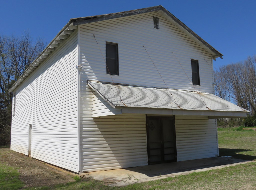
Old Masonic Lodge (Albany, Oklahoma)
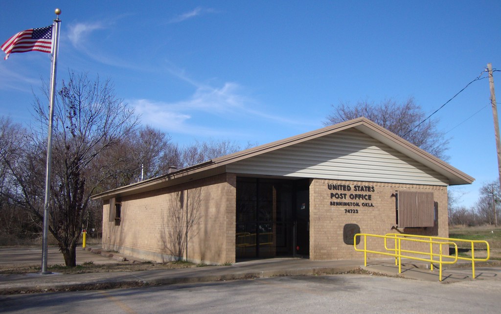
Post Office 74723 (Bennington, Oklahoma)

Arnett Road Church
Post Office 74721 (Albany, Oklahoma)

Old Storefront Building (Telephone, Texas)
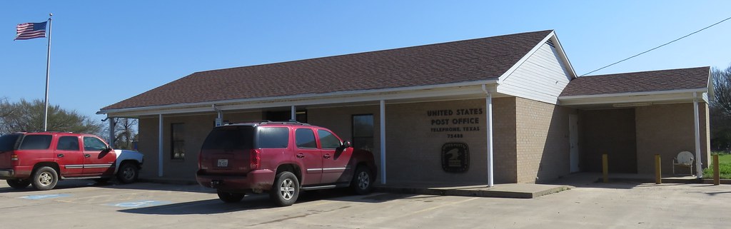
Post Office 75488 (Telephone, Texas)

Telephone - Closed To Protect Wildlife

Telephone - Dew Drop Inn

Night Sky

Worried much, mom? #freakout #wtf #wtfmomwtf #parentsusingtext #bigpeoplewords #pottymouth #washyourphoneoutwithsoap

Mason Wasp

Country Horse
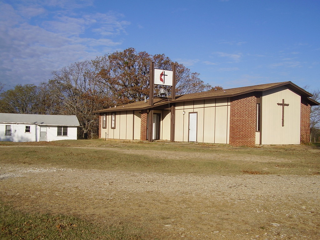
Sulphur Springs UMC 2007
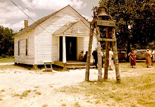
Sulphur Springs UMC 1965
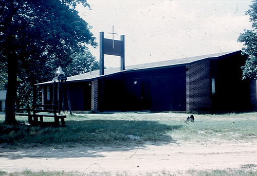
Sulphur Springs UMC 1974
Topographic Map of Hyde Lake Rd, Bennington, OK, USA
Find elevation by address:

Places near Hyde Lake Rd, Bennington, OK, USA:
2940 Co Rd 2130
Cr, Telephone, TX, USA
Telephone
Ivanhoe, TX, USA
9363 E Fm 273
Bokchito
Oklahoma 22
Fr 79, Sumner, TX, USA
1367 Romia Rd
1367 Romia Rd
477 County Rd 2418
477 County Rd 2418
477 County Rd 2418
Yuba
OK-70E, Bokchito, OK, USA
FM, Honey Grove, TX, USA
Yarnaby Rd, Hendrix, OK, USA
Fr, Sumner, TX, USA
Razor Rd, Arthur City, TX, USA
7238 Razor Rd
Recent Searches:
- Elevation of Corso Fratelli Cairoli, 35, Macerata MC, Italy
- Elevation of Tallevast Rd, Sarasota, FL, USA
- Elevation of 4th St E, Sonoma, CA, USA
- Elevation of Black Hollow Rd, Pennsdale, PA, USA
- Elevation of Oakland Ave, Williamsport, PA, USA
- Elevation of Pedrógão Grande, Portugal
- Elevation of Klee Dr, Martinsburg, WV, USA
- Elevation of Via Roma, Pieranica CR, Italy
- Elevation of Tavkvetili Mountain, Georgia
- Elevation of Hartfords Bluff Cir, Mt Pleasant, SC, USA