Elevation of FM, Honey Grove, TX, USA
Location: United States > Texas > Lamar County >
Longitude: -95.830755
Latitude: 33.7528195
Elevation: 174m / 571feet
Barometric Pressure: 99KPa
Elevation Map:
Satellite Map:
Related Photos:

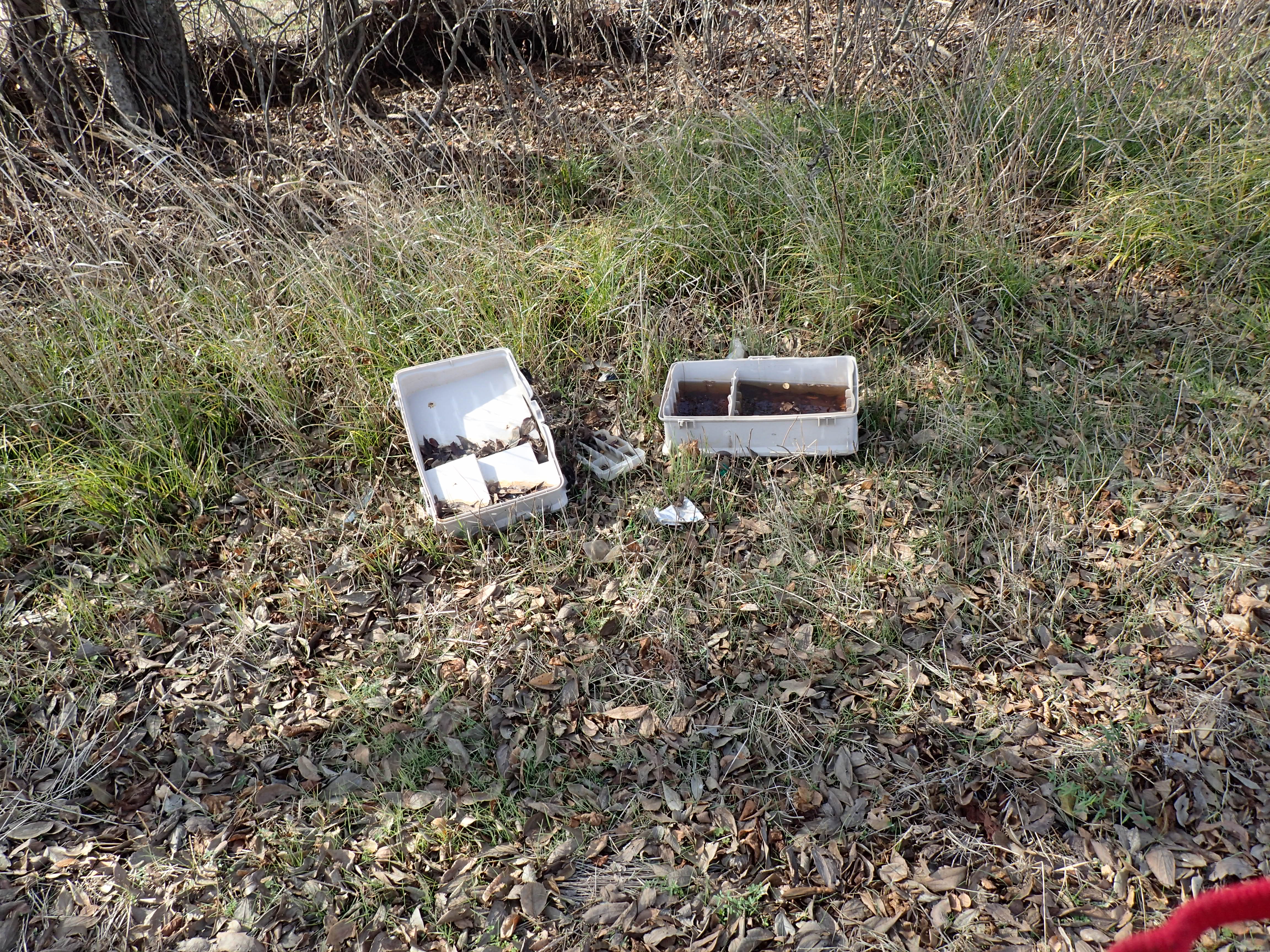
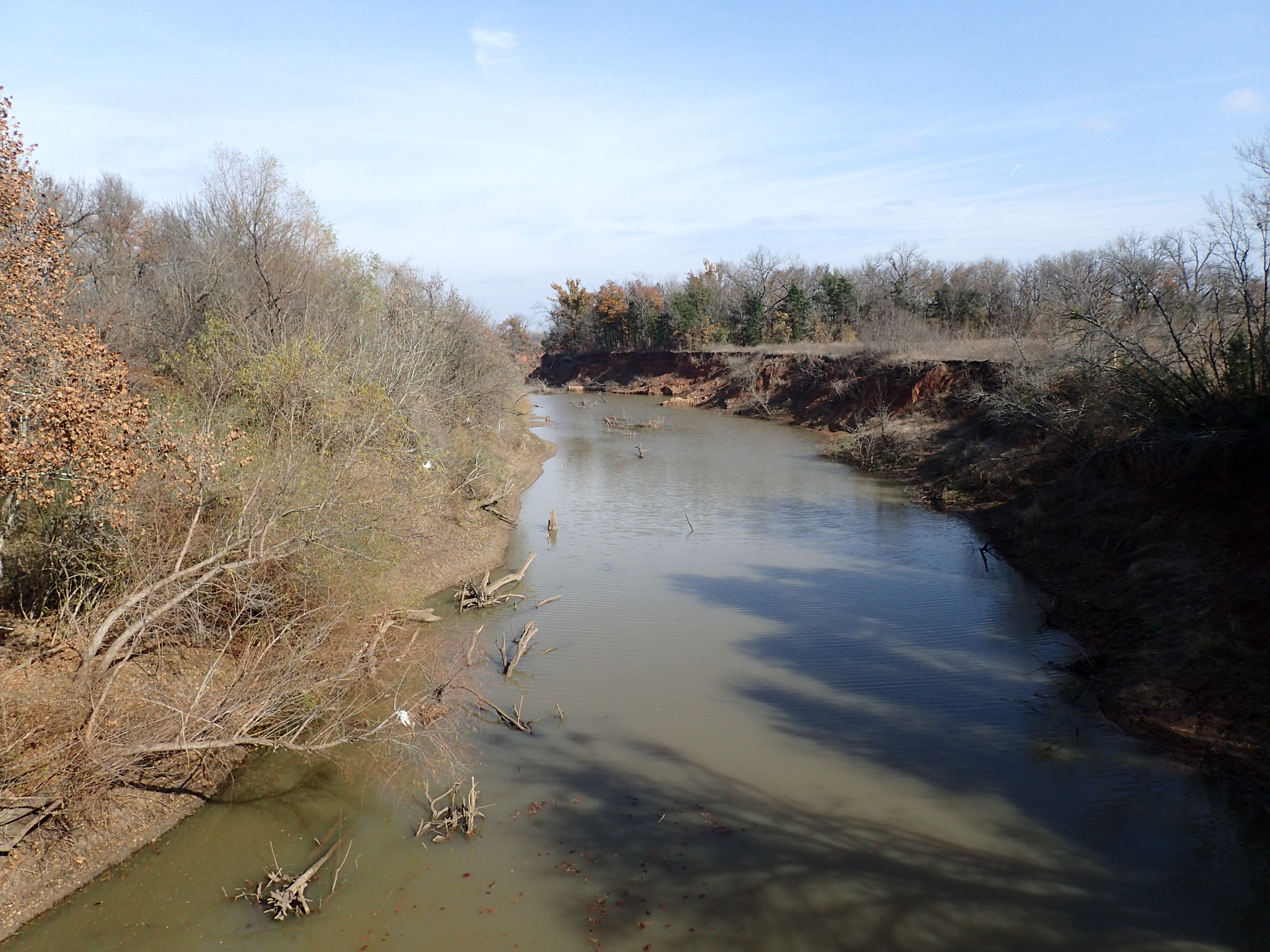
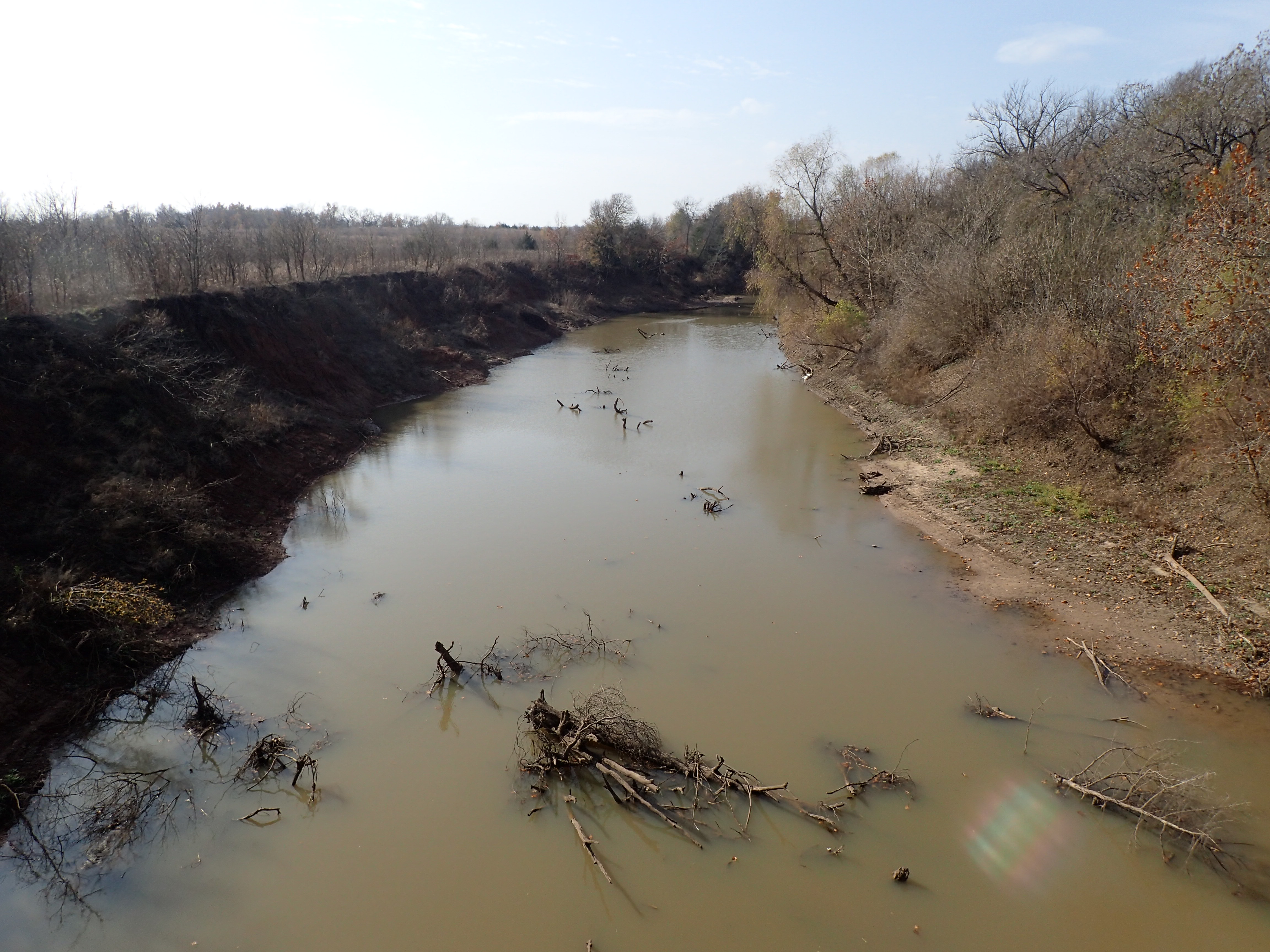
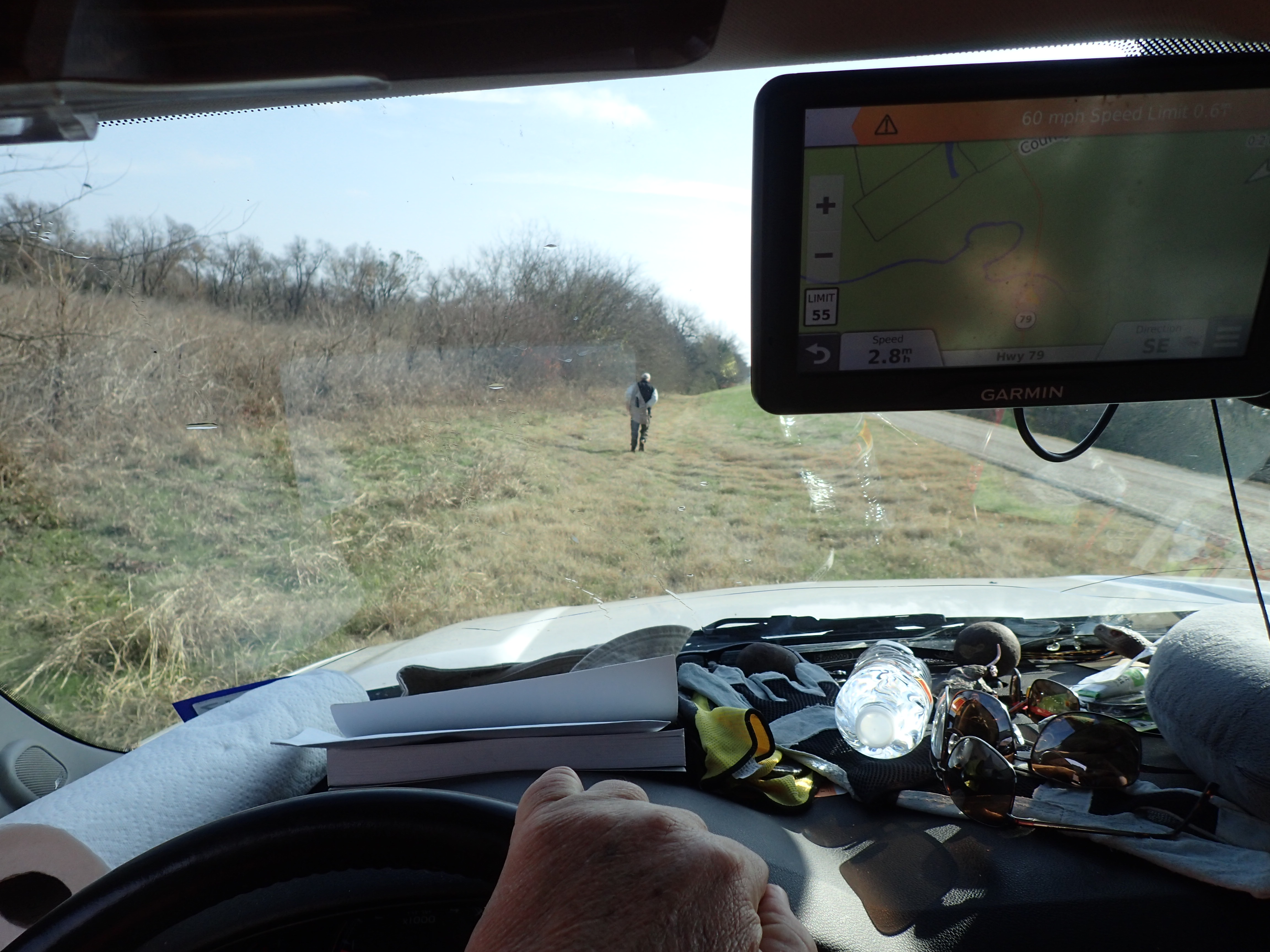
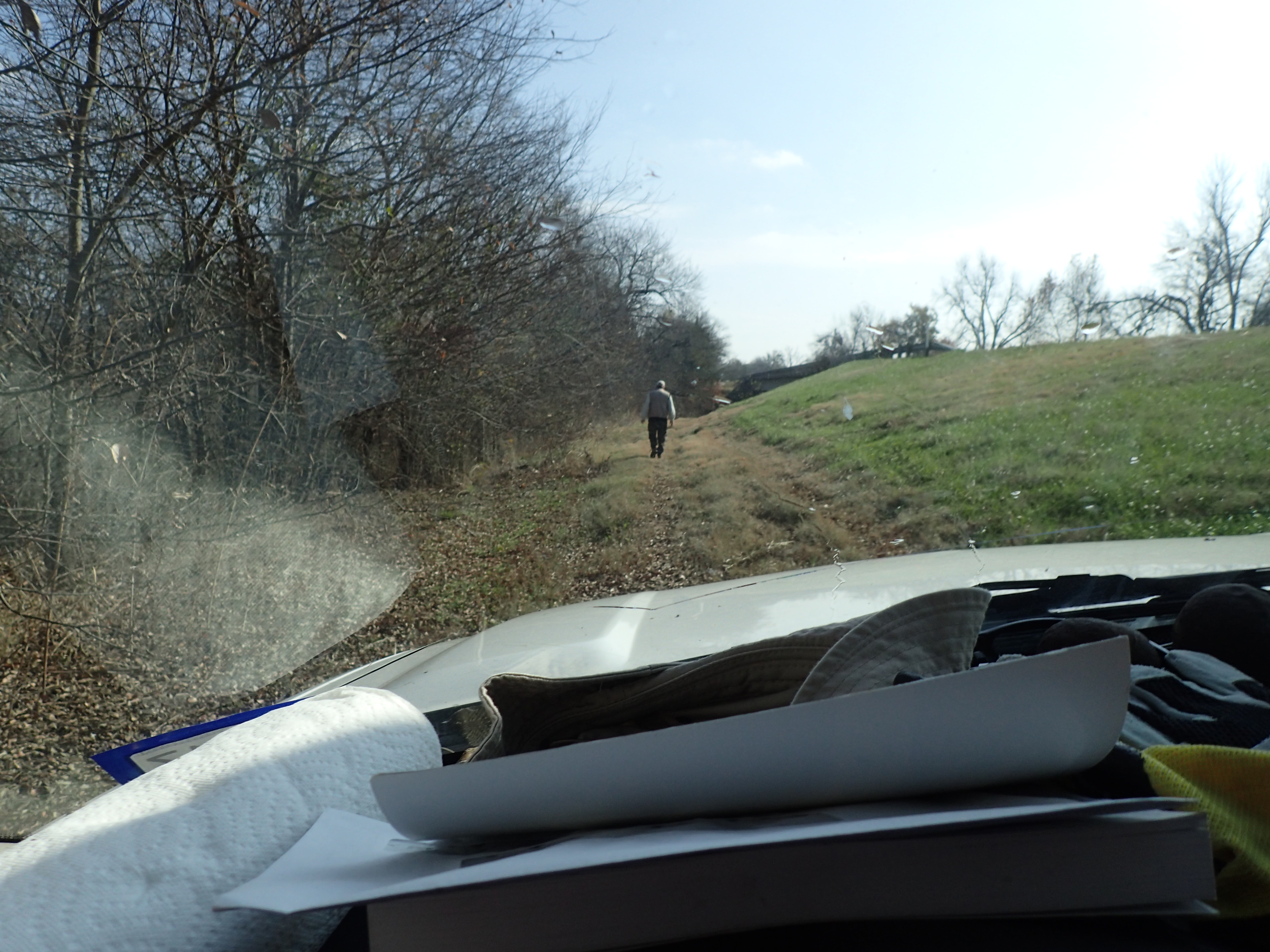
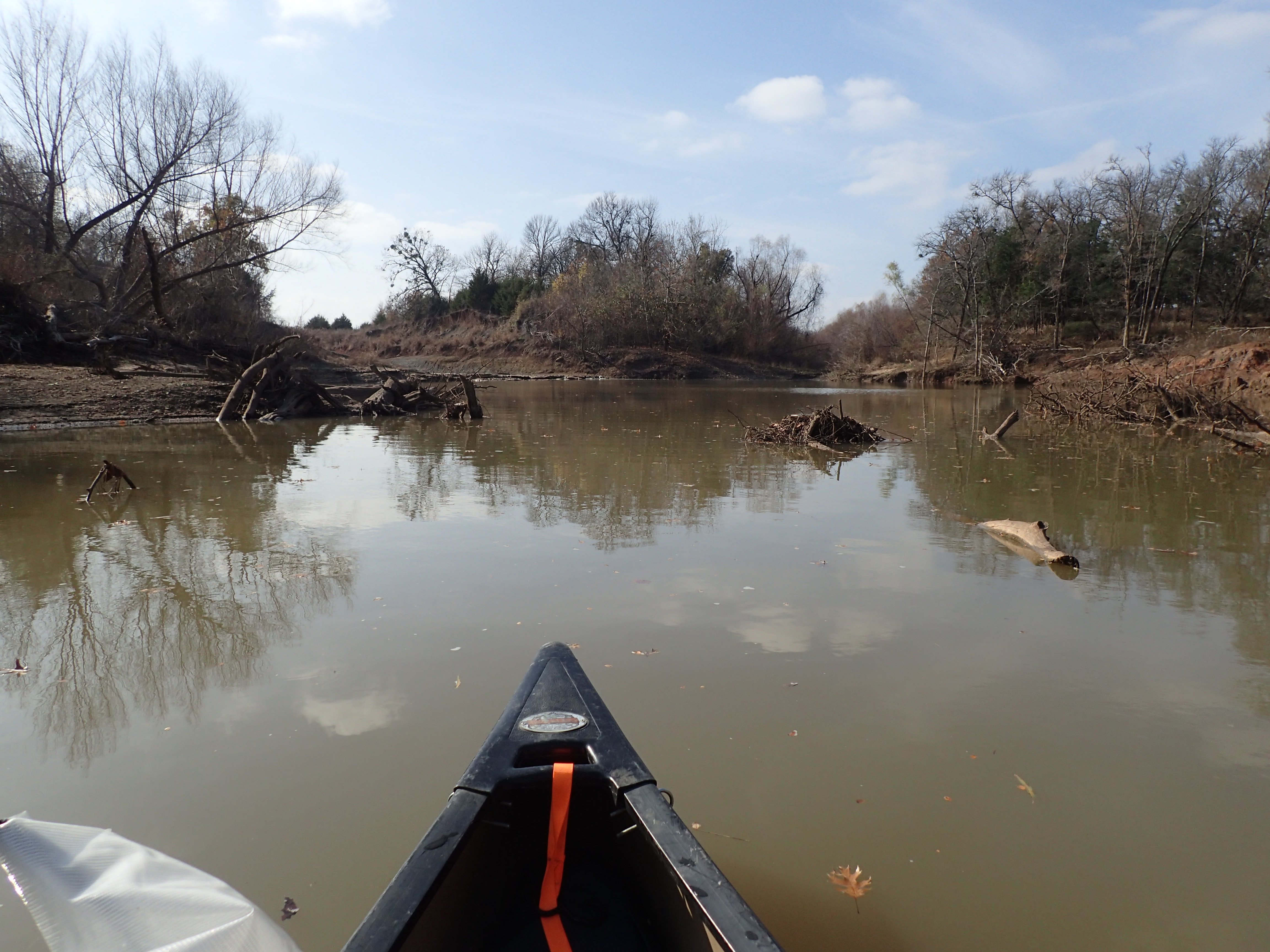
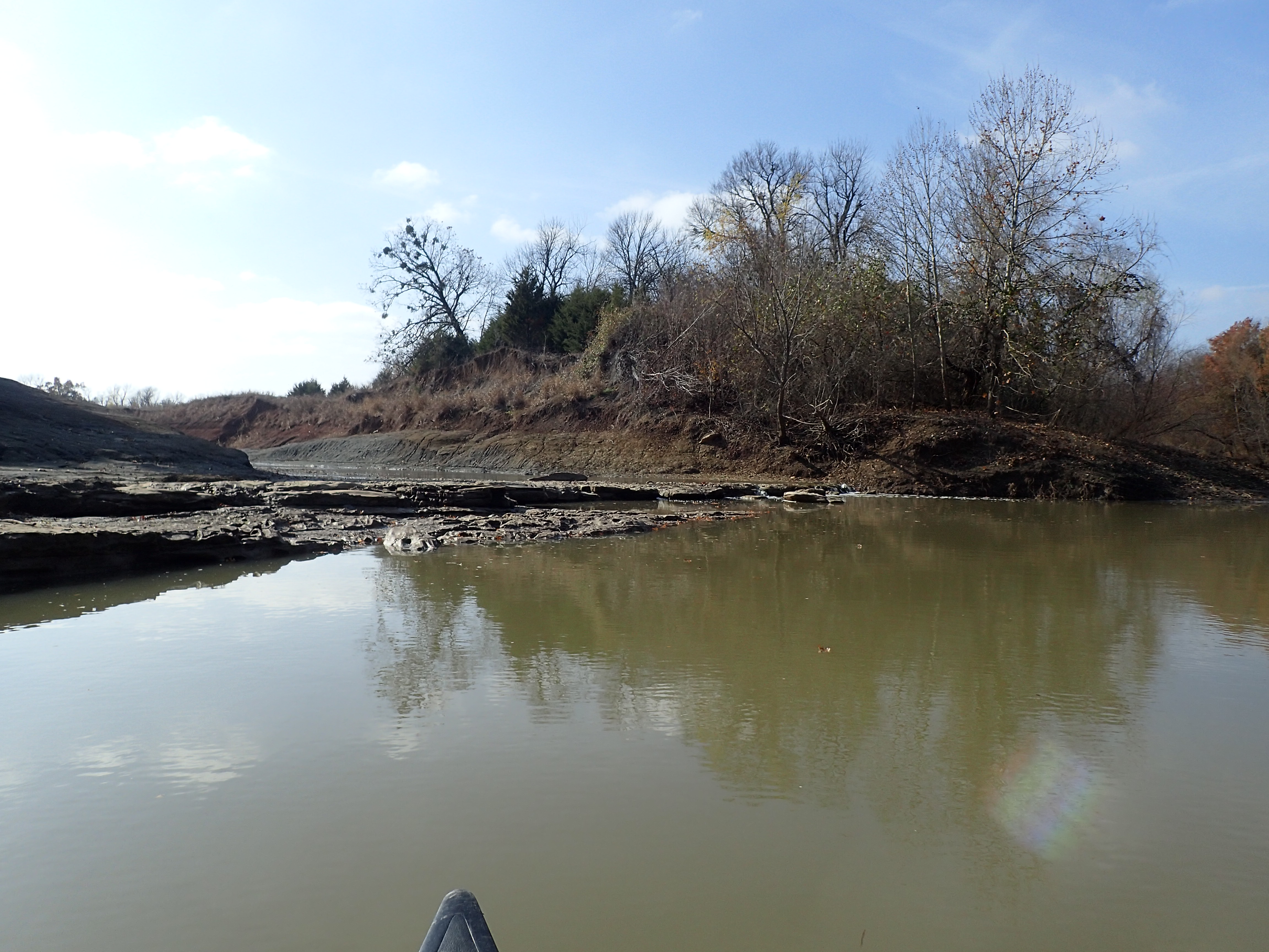
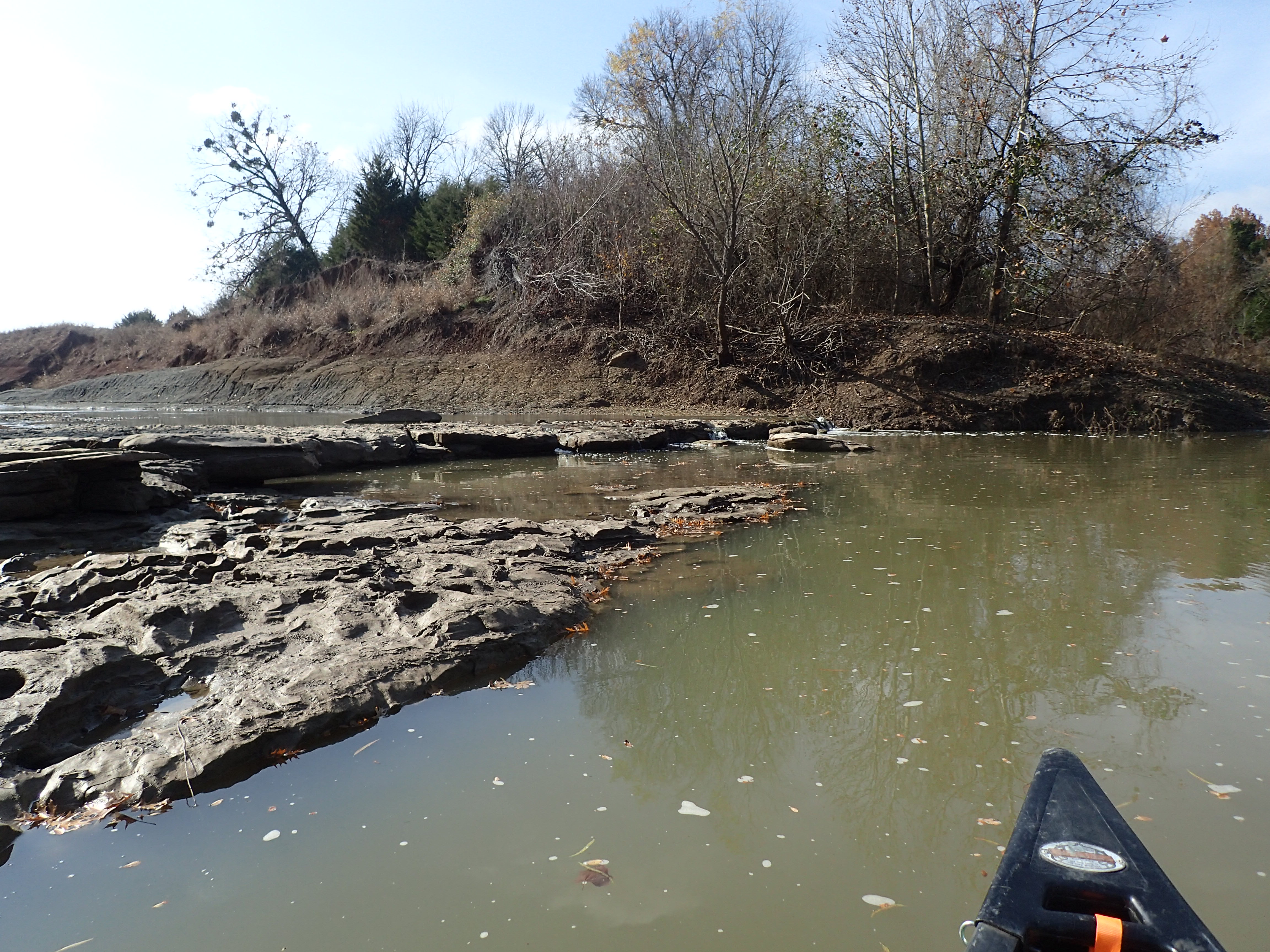
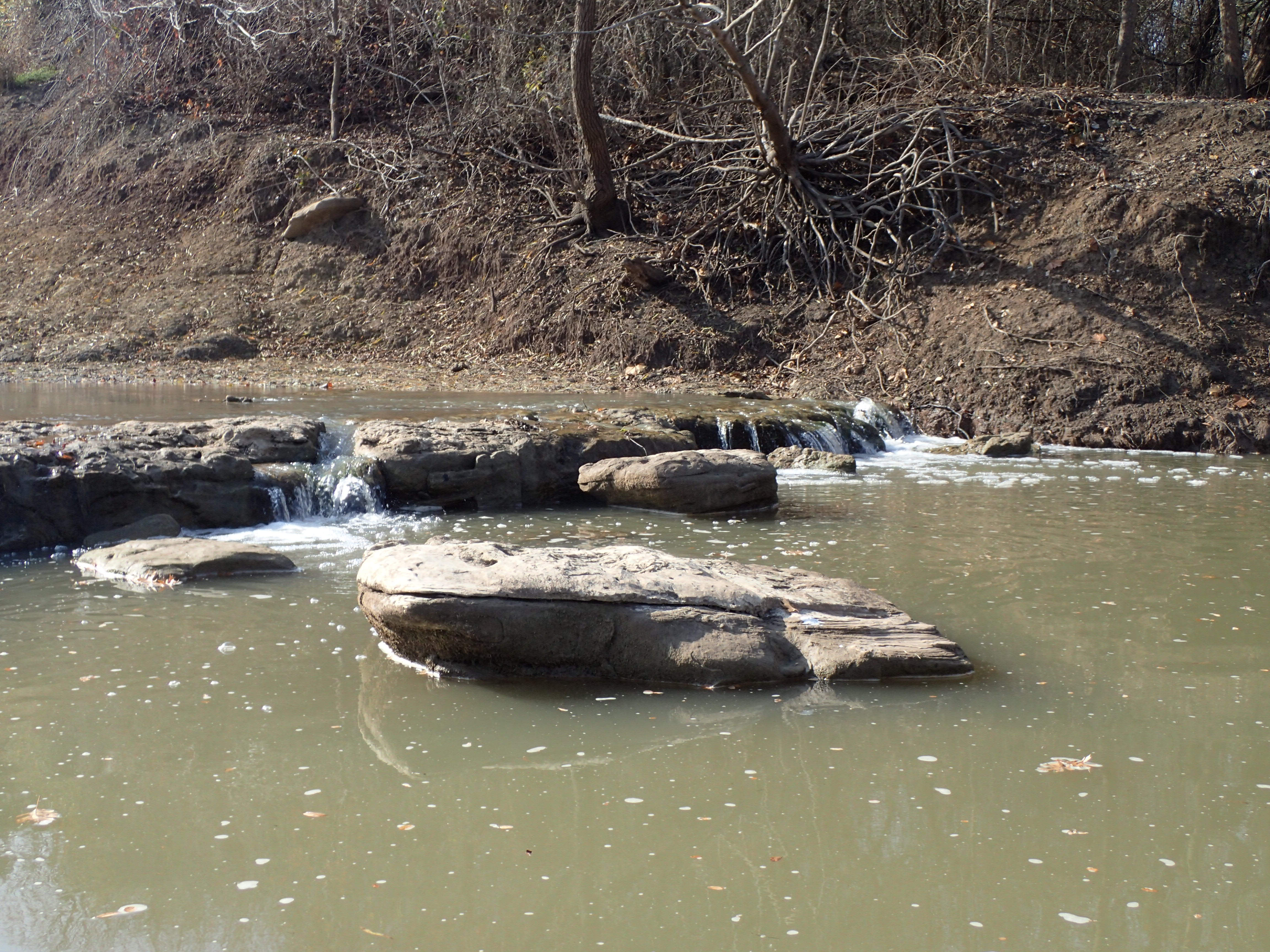
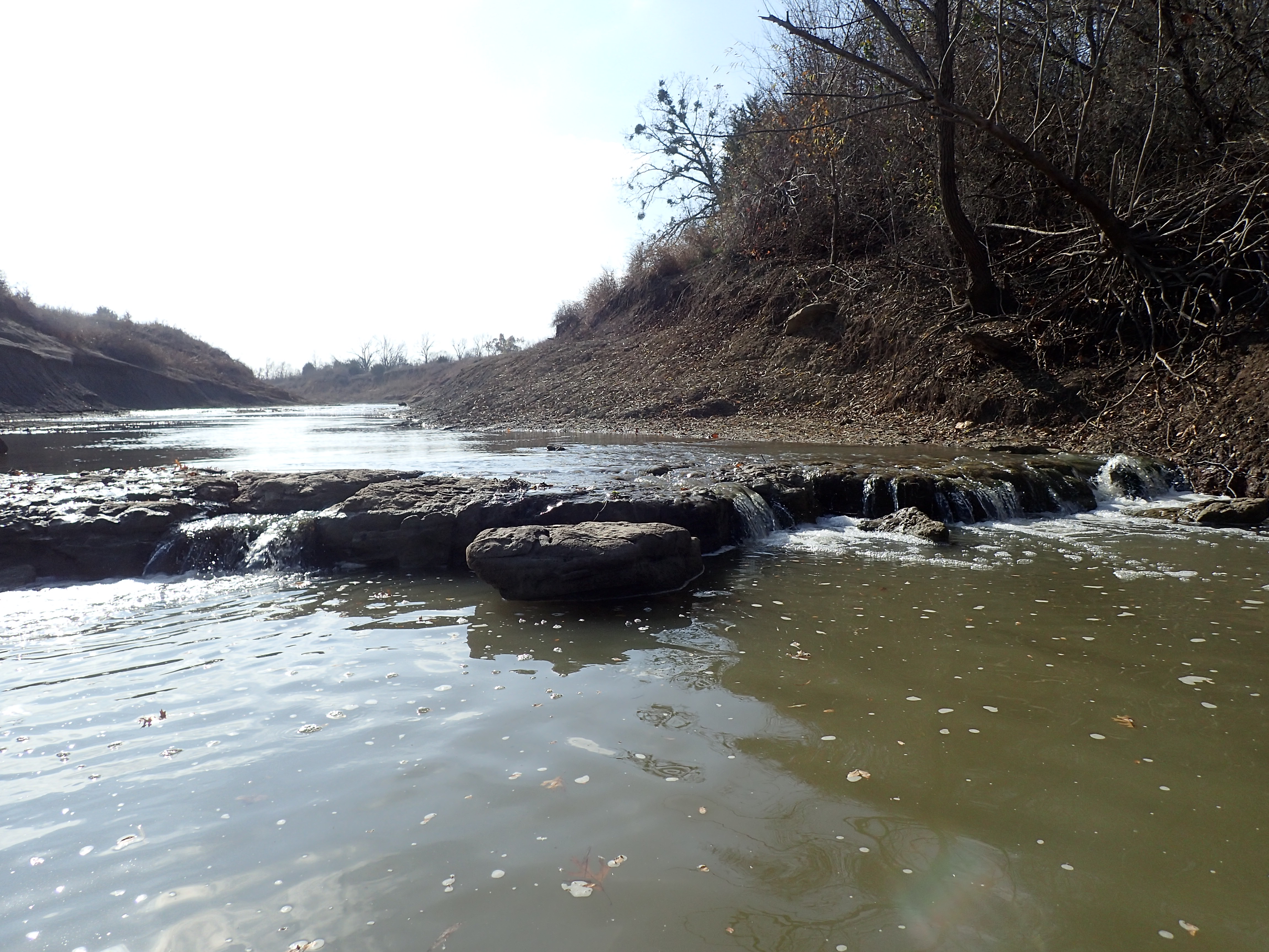
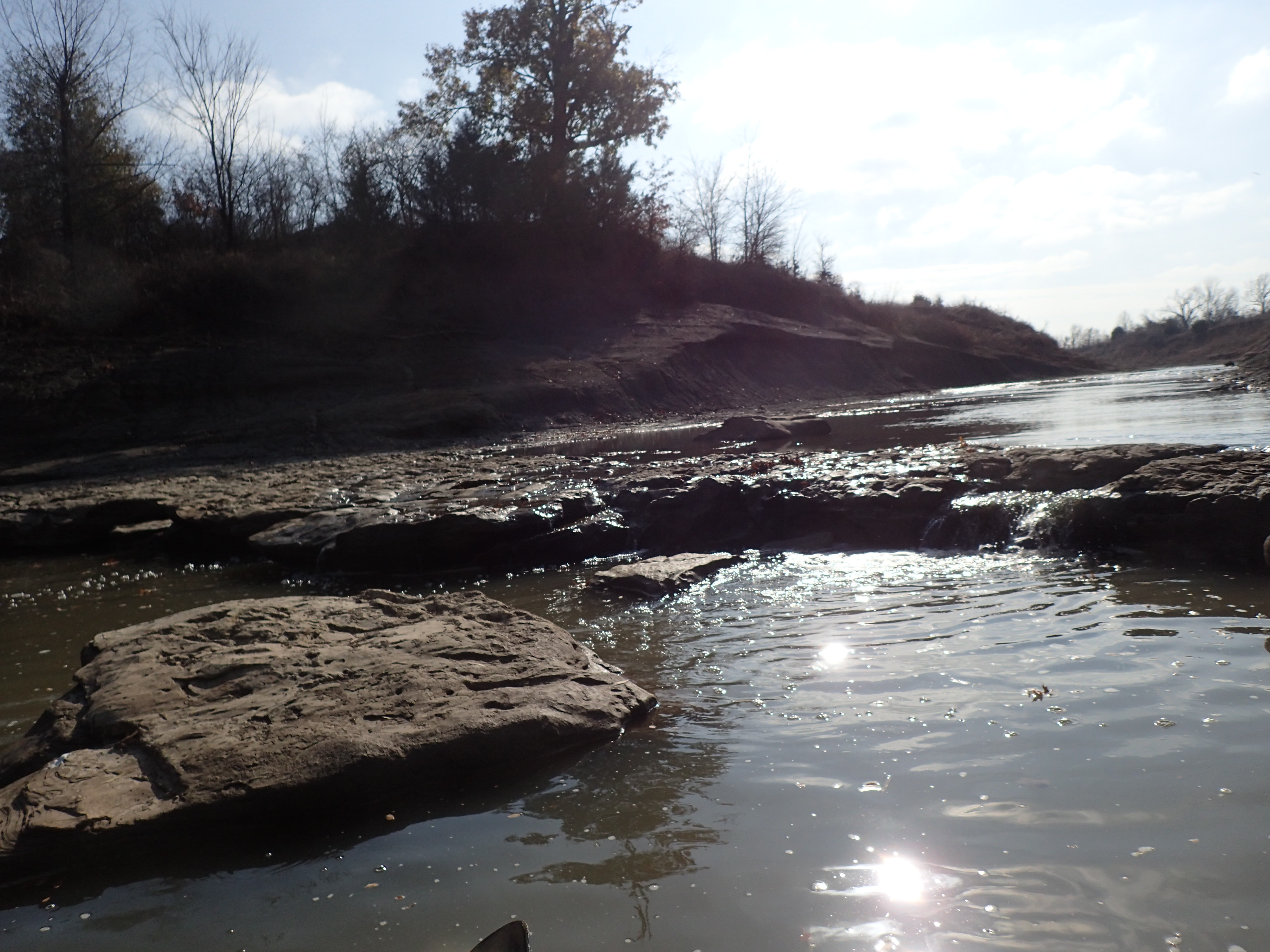
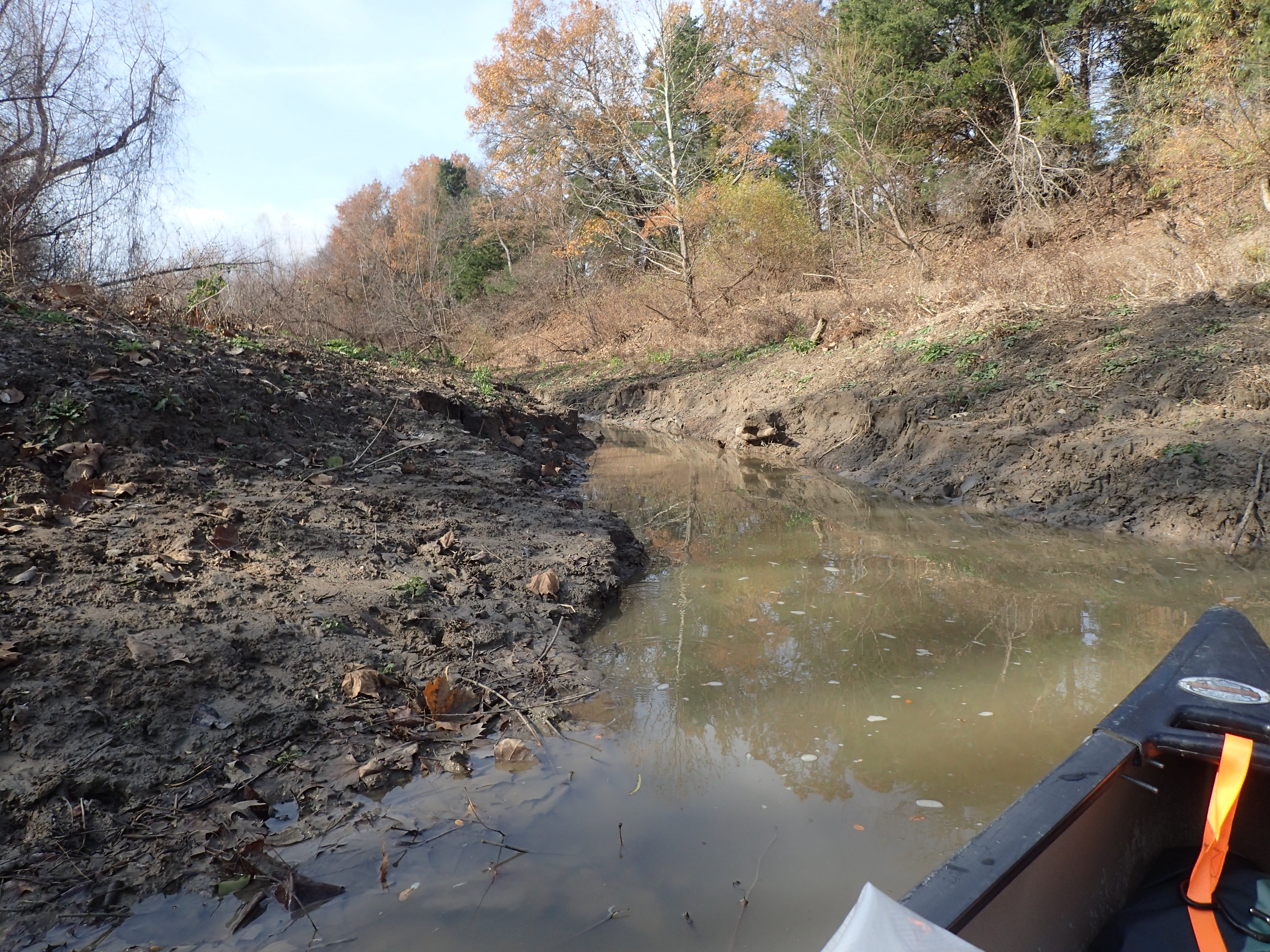
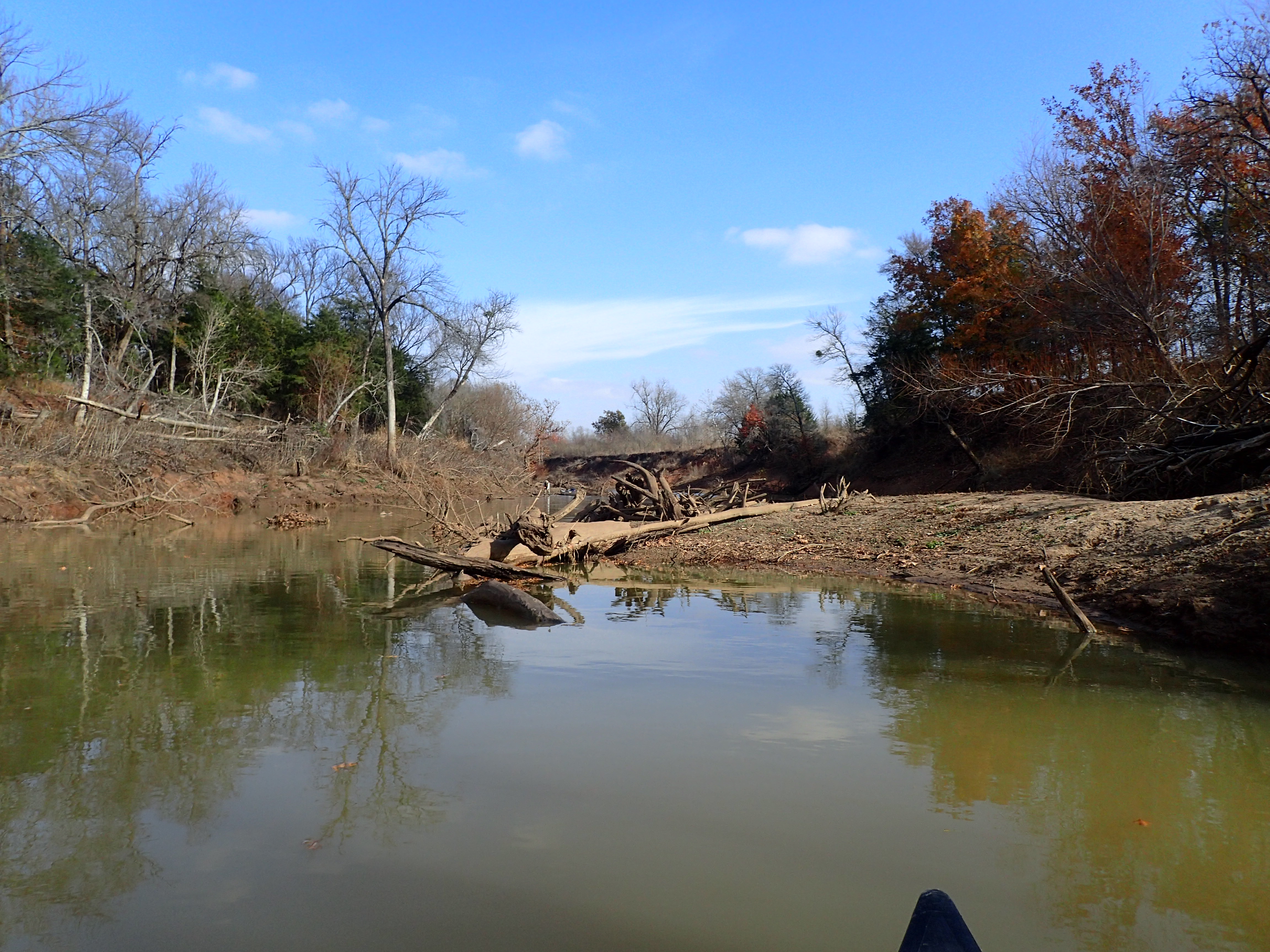
Sash - Lake Crockett
PC130419

PC130420
PC130421
PC130422

PC130423
PC130424
PC130425
PC130426

PC130427

PC130428

PC130430

PC130431

PC130432
PC130434
PC130435
PC130436
PC130437
PC130438
PC130439
PC130440
PC130441
Topographic Map of FM, Honey Grove, TX, USA
Find elevation by address:

Places near FM, Honey Grove, TX, USA:
477 County Rd 2418
477 County Rd 2418
477 County Rd 2418
Fr 79, Sumner, TX, USA
Fr, Sumner, TX, USA
7238 Razor Rd
Razor Rd, Arthur City, TX, USA
Lamar County
Telephone
Hyde Lake Rd, Bennington, OK, USA
2940 Co Rd 2130
Cr, Telephone, TX, USA
Ivanhoe, TX, USA
9363 E Fm 273
Main St, Soper, OK, USA
Yuba
1367 Romia Rd
1367 Romia Rd
Bokchito
Oklahoma 22
Recent Searches:
- Elevation of 1 Zion Park Blvd, Springdale, UT, USA
- Elevation of Ganderbal
- Elevation map of Konkan Division, Maharashtra, India
- Elevation of Netaji Nagar, Hallow Pul, Kurla, Mumbai, Maharashtra, India
- Elevation of Uralsk, Kazakhstan
- Elevation of 45- Kahana Dr, Honokaa, HI, USA
- Elevation of New Mexico 30, NM-30, Española, NM, USA
- Elevation of Santmyer Way, Charles Town, WV, USA
- Elevation of Riserva Naturale Lago di Montepulciano, Italy
- Elevation of Marjorie Lane, Marjorie Ln, Whitefield, NH, USA