Elevation of Fr, Sumner, TX, USA
Location: United States > Texas > Lamar County >
Longitude: -95.748347
Latitude: 33.838933
Elevation: 148m / 486feet
Barometric Pressure: 100KPa
Elevation Map:
Satellite Map:
Related Photos:
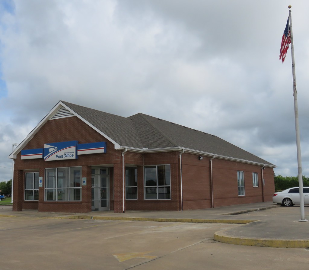
Post Office 75486 (Sumner, Texas)

Hailey and Charity

Tina and Courtney

David Playing Around

David Playing Around

David Playing Around

Charity on the 4 Wheeler
Pups Cooking

The Girls

Grr!!

Tina and family

Where's David?
Topographic Map of Fr, Sumner, TX, USA
Find elevation by address:

Places near Fr, Sumner, TX, USA:
7238 Razor Rd
Razor Rd, Arthur City, TX, USA
Fr 79, Sumner, TX, USA
FM, Honey Grove, TX, USA
Lamar County
477 County Rd 2418
477 County Rd 2418
477 County Rd 2418
Main St, Soper, OK, USA
Hyde Lake Rd, Bennington, OK, USA
Telephone
2940 Co Rd 2130
Cr, Telephone, TX, USA
Ivanhoe, TX, USA
9363 E Fm 273
Bokchito
Oklahoma 22
Yuba
1367 Romia Rd
1367 Romia Rd
Recent Searches:
- Elevation of Corso Fratelli Cairoli, 35, Macerata MC, Italy
- Elevation of Tallevast Rd, Sarasota, FL, USA
- Elevation of 4th St E, Sonoma, CA, USA
- Elevation of Black Hollow Rd, Pennsdale, PA, USA
- Elevation of Oakland Ave, Williamsport, PA, USA
- Elevation of Pedrógão Grande, Portugal
- Elevation of Klee Dr, Martinsburg, WV, USA
- Elevation of Via Roma, Pieranica CR, Italy
- Elevation of Tavkvetili Mountain, Georgia
- Elevation of Hartfords Bluff Cir, Mt Pleasant, SC, USA