Elevation of Fr 79, Sumner, TX, USA
Location: United States > Texas > Lamar County > Sumner >
Longitude: -95.834351
Latitude: 33.820949
Elevation: 144m / 472feet
Barometric Pressure: 100KPa
Elevation Map:
Satellite Map:
Related Photos:

Sash - Lake Crockett
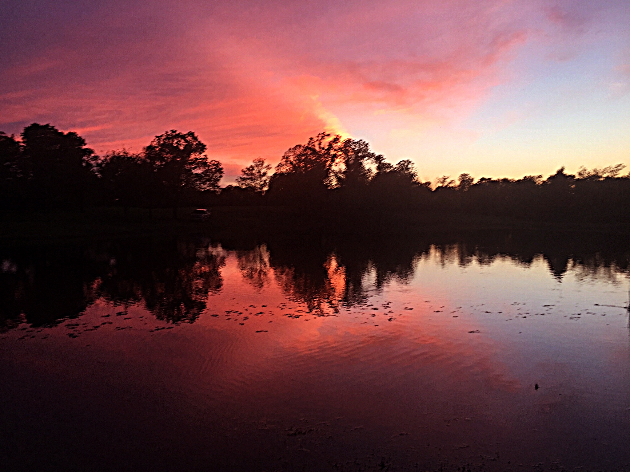
Sash, Texas Sunset

Day #1 in the woods... patient and steady the #Sun winks away another beautiful day on #Earth.
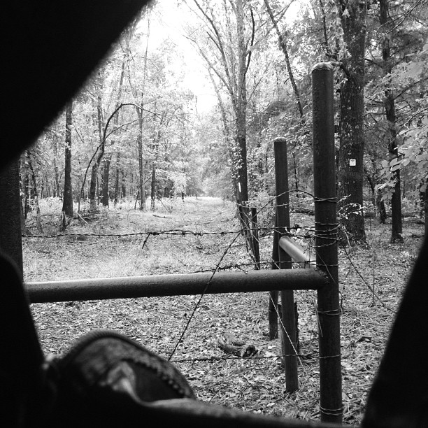
White of the morning hunt.

Hailey and Charity

Tina and Courtney

David Playing Around

David Playing Around

David Playing Around

Charity on the 4 Wheeler
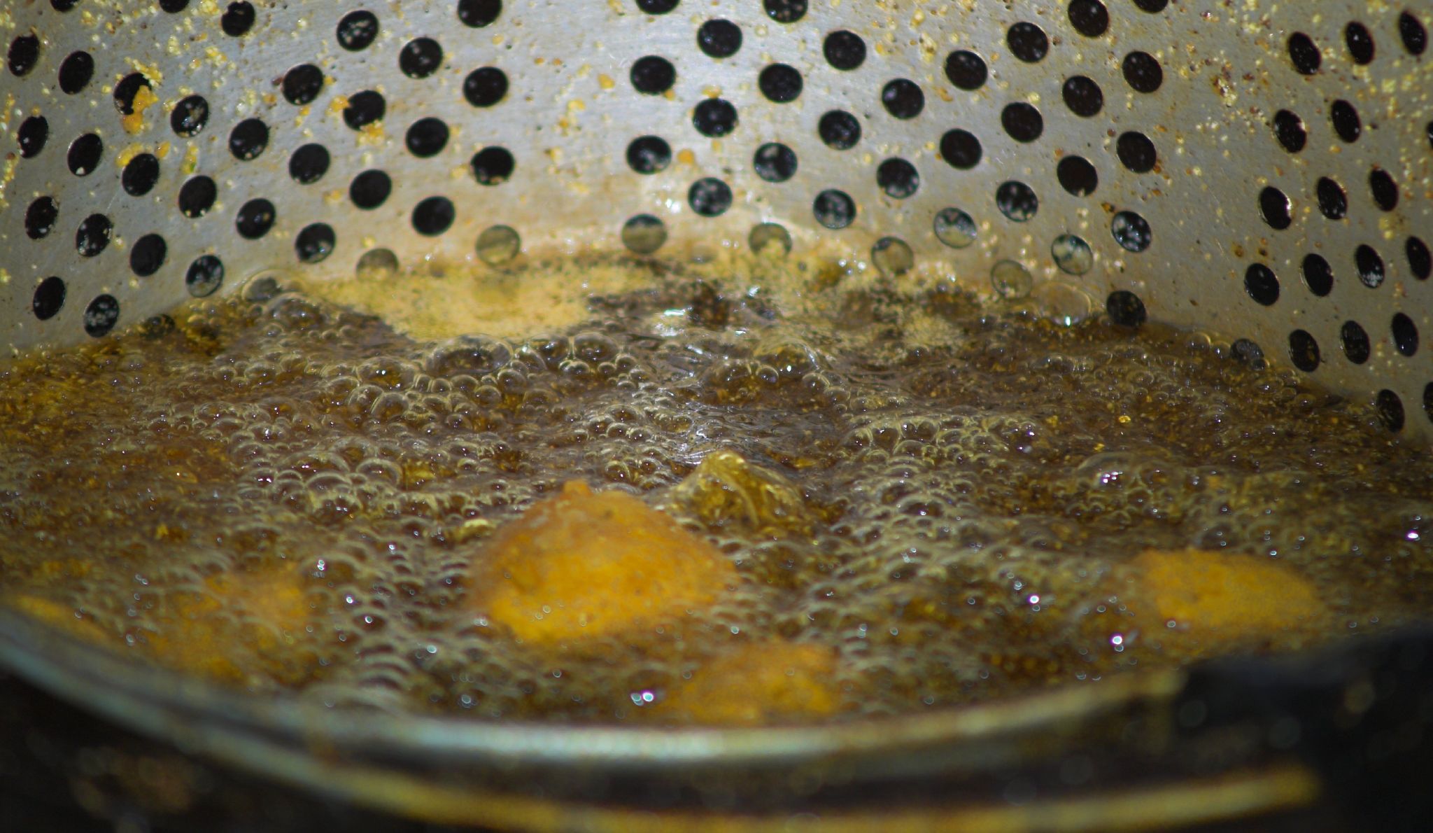
Pups Cooking

The Girls

Grr!!

Tina and family

Where's David?
Topographic Map of Fr 79, Sumner, TX, USA
Find elevation by address:

Places near Fr 79, Sumner, TX, USA:
FM, Honey Grove, TX, USA
477 County Rd 2418
477 County Rd 2418
477 County Rd 2418
Fr, Sumner, TX, USA
7238 Razor Rd
Razor Rd, Arthur City, TX, USA
Telephone
Hyde Lake Rd, Bennington, OK, USA
Lamar County
2940 Co Rd 2130
Cr, Telephone, TX, USA
Main St, Soper, OK, USA
Ivanhoe, TX, USA
9363 E Fm 273
Bokchito
Oklahoma 22
Yuba
1367 Romia Rd
1367 Romia Rd
Recent Searches:
- Elevation of Tenjo, Cundinamarca, Colombia
- Elevation of Côte-des-Neiges, Montreal, QC H4A 3J6, Canada
- Elevation of Bobcat Dr, Helena, MT, USA
- Elevation of Zu den Ihlowbergen, Althüttendorf, Germany
- Elevation of Badaber, Peshawar, Khyber Pakhtunkhwa, Pakistan
- Elevation of SE Heron Loop, Lincoln City, OR, USA
- Elevation of Slanický ostrov, 01 Námestovo, Slovakia
- Elevation of Spaceport America, Co Rd A, Truth or Consequences, NM, USA
- Elevation of Warwick, RI, USA
- Elevation of Fern Rd, Whitmore, CA, USA