Elevation of Houlton Rd, Brookton, ME, USA
Location: United States > Maine > Washington County >
Longitude: -67.766259
Latitude: 45.5301869
Elevation: 136m / 446feet
Barometric Pressure: 100KPa
Elevation Map:
Satellite Map:
Related Photos:
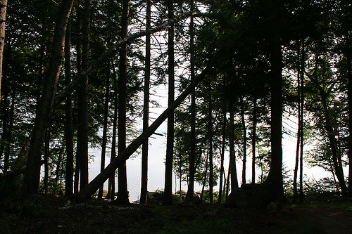
Lake View
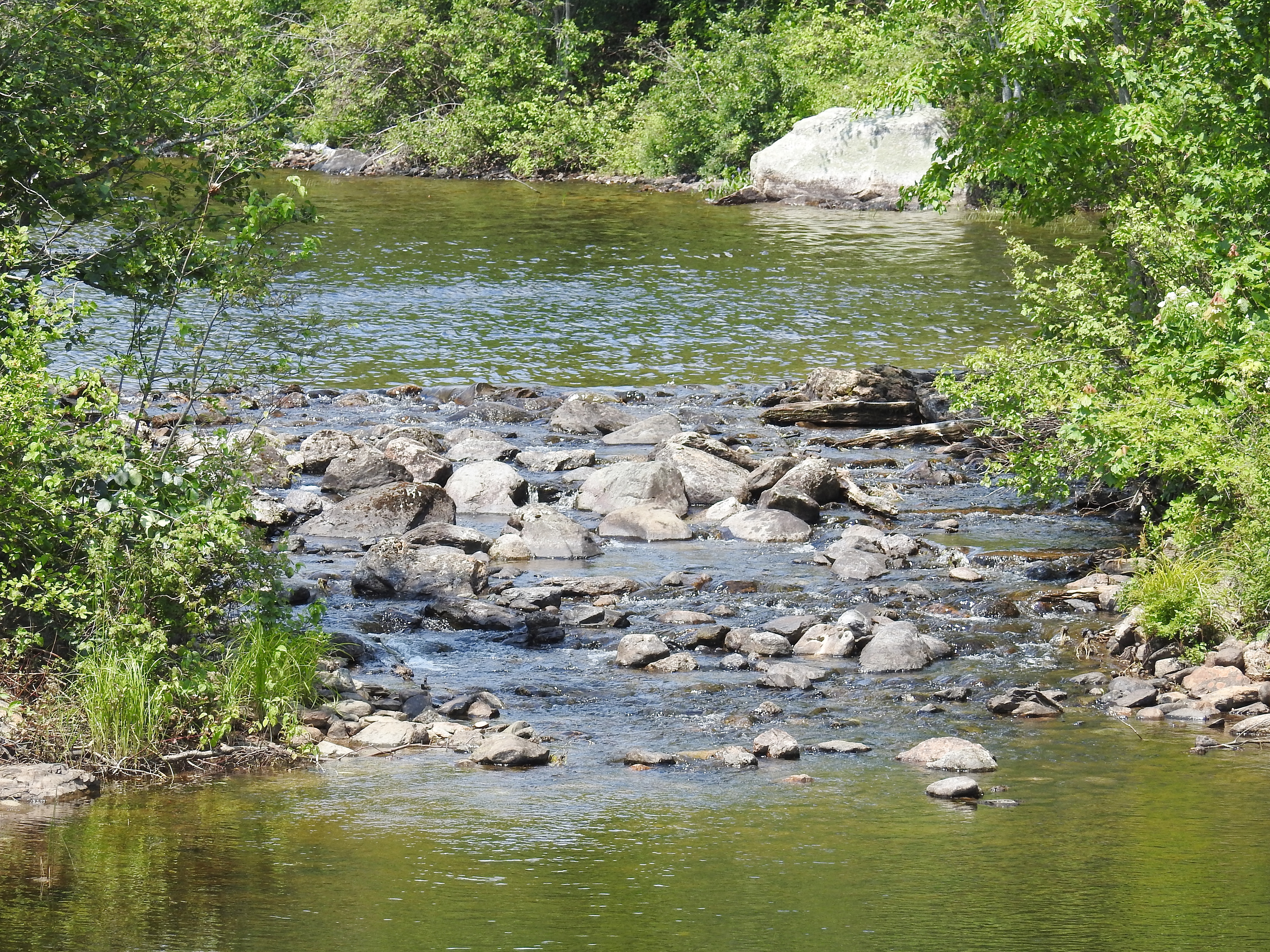
Washed out Dam

Grand Lake Chairs

Middle of Nowhere

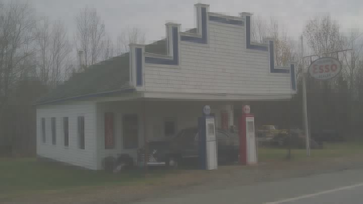
Ever gas up at this sign

In the road
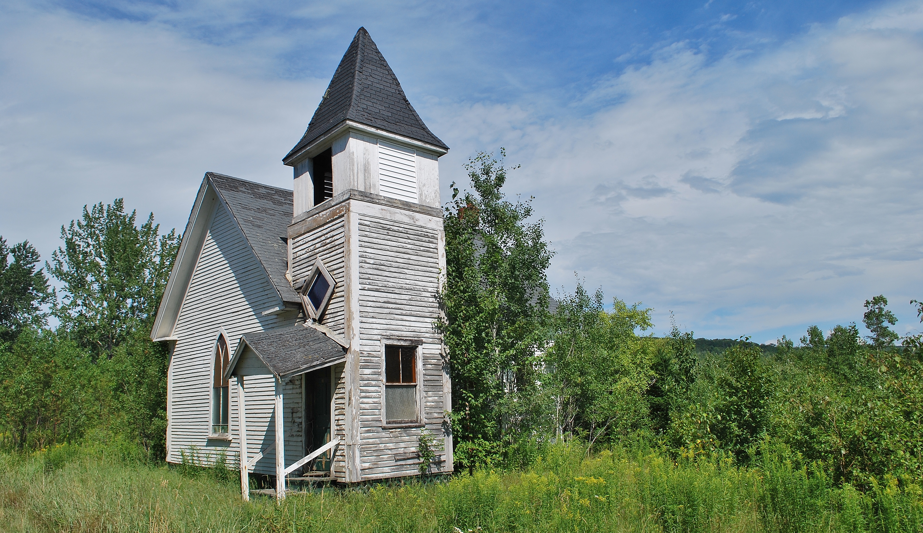
All were welcome
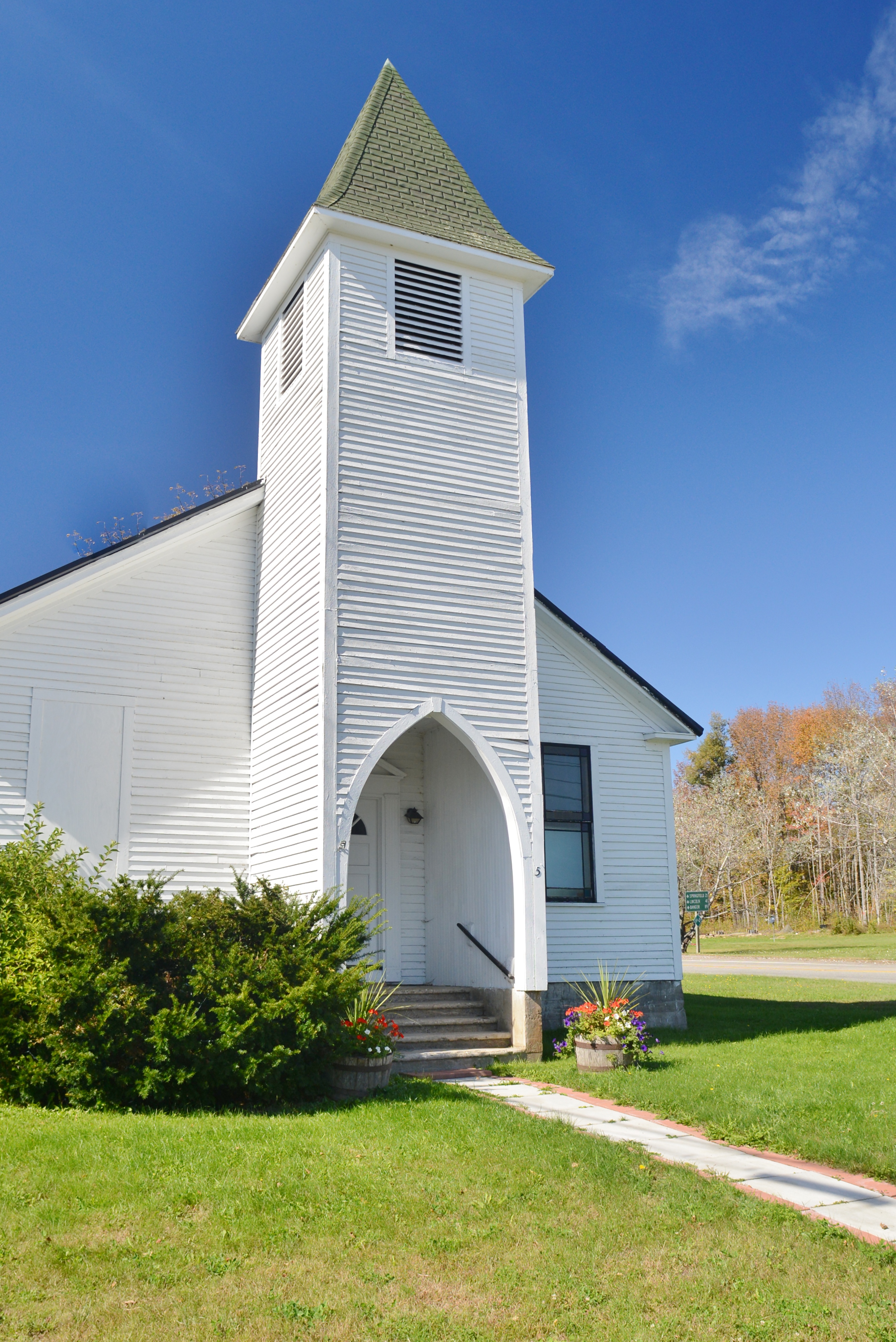
Topsfield, Maine

Route 1 in Maine--The way life should be?

t 076

t 074

t 075

t 117

t 123
Brookton Maine
Topographic Map of Houlton Rd, Brookton, ME, USA
Find elevation by address:

Places near Houlton Rd, Brookton, ME, USA:
Houlton Rd, Danforth, ME, USA
Danforth
6 Waterfront Dr, Weston, ME, USA
Orient
Bancroft
Indian Township
Grand Lake Stream
Milford Rd, Grand Lake Stream, ME, USA
187 Tucker Ridge Rd
187 Tucker Ridge Rd
Dobsis Dam
Canterbury Parish
3391 Military Rd
North Washington
1152 Hartin Settlement Rd
1152 Hartin Settlement Rd
Kingman
Hartin Settlement
Kingman
Plantation Of Webster
Recent Searches:
- Elevation of 7 Waterfall Way, Tomball, TX, USA
- Elevation of SW 57th Ave, Portland, OR, USA
- Elevation of Crocker Dr, Vacaville, CA, USA
- Elevation of Pu Ngaol Community Meeting Hall, HWHM+3X7, Krong Saen Monourom, Cambodia
- Elevation of Royal Ontario Museum, Queens Park, Toronto, ON M5S 2C6, Canada
- Elevation of Groblershoop, South Africa
- Elevation of Power Generation Enterprises | Industrial Diesel Generators, Oak Ave, Canyon Country, CA, USA
- Elevation of Chesaw Rd, Oroville, WA, USA
- Elevation of N, Mt Pleasant, UT, USA
- Elevation of 6 Rue Jules Ferry, Beausoleil, France