Elevation of Houlton Rd, Danforth, ME, USA
Location: United States > Maine > Washington County > Danforth >
Longitude: -67.807483
Latitude: 45.6038939
Elevation: 125m / 410feet
Barometric Pressure: 100KPa
Elevation Map:
Satellite Map:
Related Photos:

Lake View

Beautiful view in Maine

2011-08-05-42286

Grand Lake Chairs

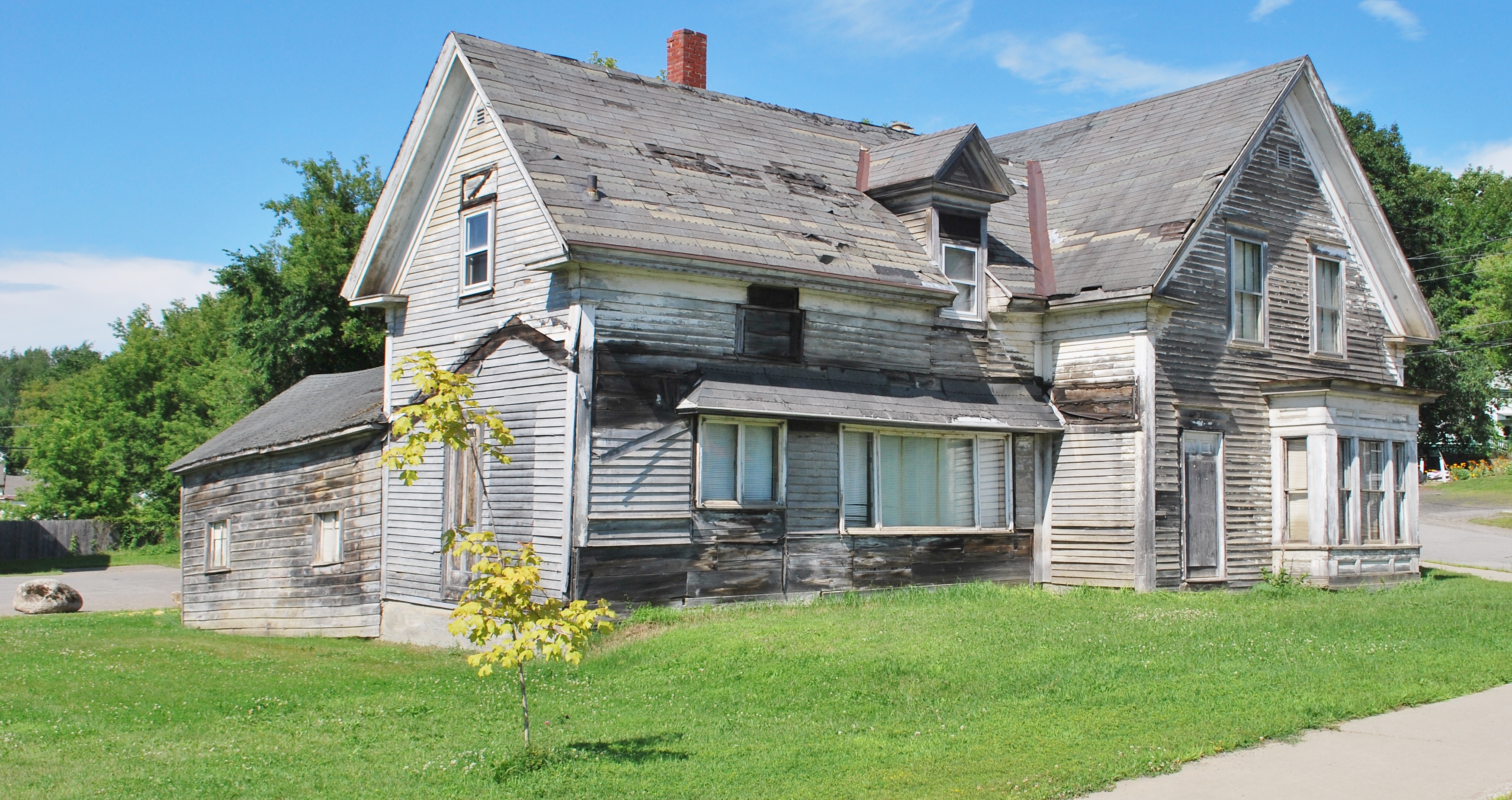
Danforth town hall-- Built in 1888
Middle of town

All were welcome

t 076

t 074

t 075

t 117

t 123

Fall foliage

Jack carries a knife
Brookton Maine

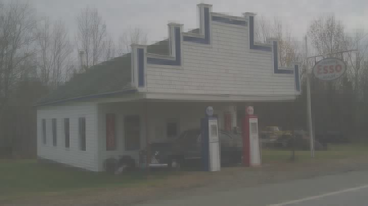
A Canadian Pacific station at Danforth, Maine
Topographic Map of Houlton Rd, Danforth, ME, USA
Find elevation by address:

Places near Houlton Rd, Danforth, ME, USA:
Danforth
Houlton Rd, Brookton, ME, USA
6 Waterfront Dr, Weston, ME, USA
Orient
Bancroft
3391 Military Rd
187 Tucker Ridge Rd
187 Tucker Ridge Rd
Canterbury Parish
Kirkland
1152 Hartin Settlement Rd
1152 Hartin Settlement Rd
Kingman
Cary
Hartin Settlement
Kingman
ME-, Kingman, ME, USA
Bangor Road
E7n 2j8
US-1, Hodgdon, ME, USA
Recent Searches:
- Elevation of Kootenai Trail Rd, Bonners Ferry, ID, USA
- Elevation of Hickory Blvd, Bonita Springs, FL, USA
- Elevation of Lalagbene, Bayelsa, Nigeria
- Elevation of Ogbosuware Health Centre, 2WWJ+4PJ, Lalagbene, Bayelsa, Nigeria
- Elevation of Duckhorn Ct, Las Vegas, NV, USA
- Elevation of Garretts Run Rd, Ford City, PA, USA
- Elevation of N WI-55, Freedom, WI, USA
- Elevation map of Hadiya, Ethiopia
- Elevation of Hosaina, Ethiopia
- Elevation of Verde Terrace, North Port, FL, USA