Elevation of Military Rd, Haynesville, ME, USA
Location: United States > Maine > Aroostook County >
Longitude: -67.994481
Latitude: 45.8489677
Elevation: 135m / 443feet
Barometric Pressure: 100KPa
Elevation Map:
Satellite Map:
Related Photos:

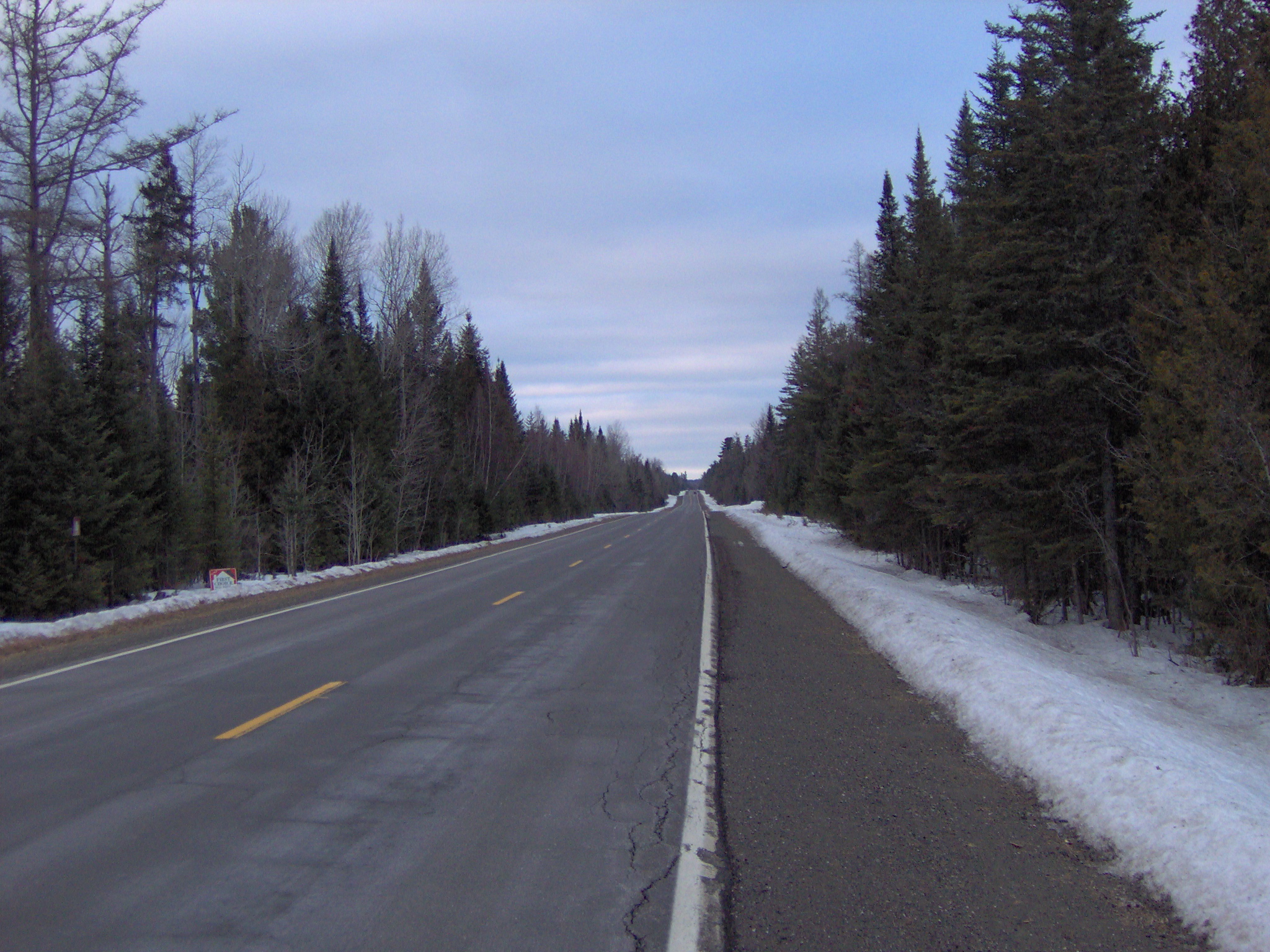
Beautiful view in Maine

Wilderness Bushcraft Semester back from a succesful trip on the St. Croix river. Maine's boundary waters.

Jack carries a knife

truck in grass
Willy Wags
Topographic Map of Military Rd, Haynesville, ME, USA
Find elevation by address:

Places near Military Rd, Haynesville, ME, USA:
Bangor Road
Orient
Bancroft
334 S Oakfield Rd
334 S Oakfield Rd
334 S Oakfield Rd
334 S Oakfield Rd
South Oakfield Road
Linneus
1768 Bangor Rd
6 Waterfront Dr, Weston, ME, USA
Cary
US-1, Hodgdon, ME, USA
406 New Limerick Rd
Danforth
Hannigan Road
Benn Hill Road
Green Road
New Limerick
Hodgdon
Recent Searches:
- Elevation of Bydgoszcz, Poland
- Elevation of Bydgoszcz, Poland
- Elevation of Calais Dr, Del Mar, CA, USA
- Elevation of Placer Mine Ln, West Jordan, UT, USA
- Elevation of E 63rd St, New York, NY, USA
- Elevation of Elk City, OK, USA
- Elevation of Erika Dr, Windsor, CA, USA
- Elevation of Village Ln, Finleyville, PA, USA
- Elevation of 24 Oakland Rd #, Scotland, ON N0E 1R0, Canada
- Elevation of Deep Gap Farm Rd E, Mill Spring, NC, USA