Elevation of S Oakfield Rd, Linneus, ME, USA
Location: United States > Maine > Aroostook County > Linneus >
Longitude: -67.994967
Latitude: 46.0400611
Elevation: 216m / 709feet
Barometric Pressure: 99KPa
Elevation Map:
Satellite Map:
Related Photos:
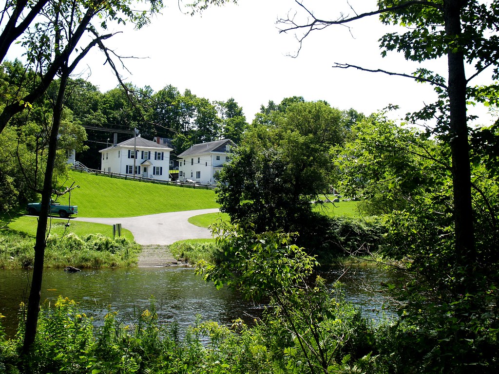
2009 Aug 11 - A view of the River Street launch in Houlton, Maine from across the Meduxnekeag river.
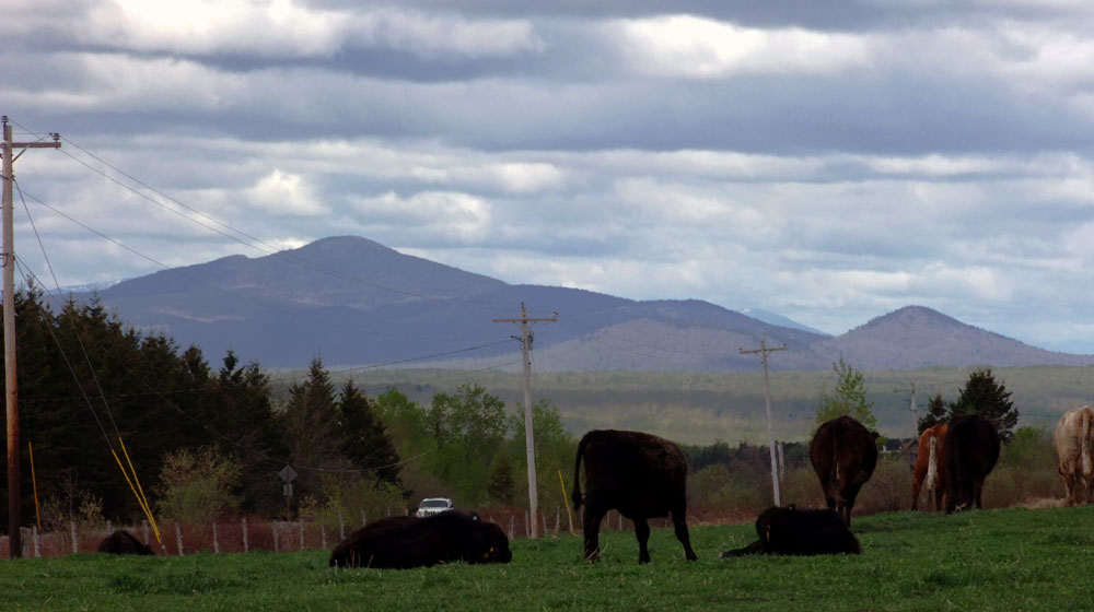
Happy Cows With A Maine View.
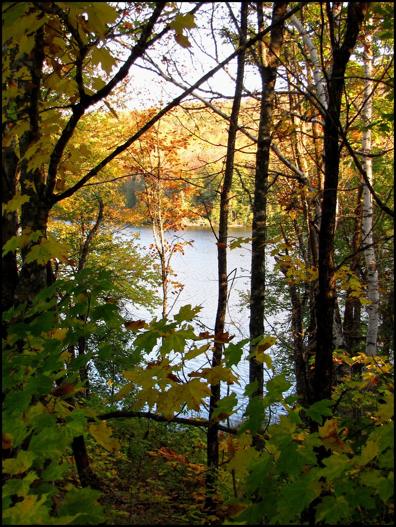
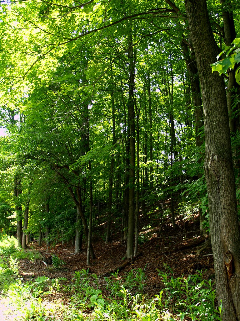
2011 October 8 - Autumn in Northern Maine. I took these photos while out on an afternoon walk.
2011 October 8 - Autumn in Northern Maine. I took these photos while out on an afternoon walk.
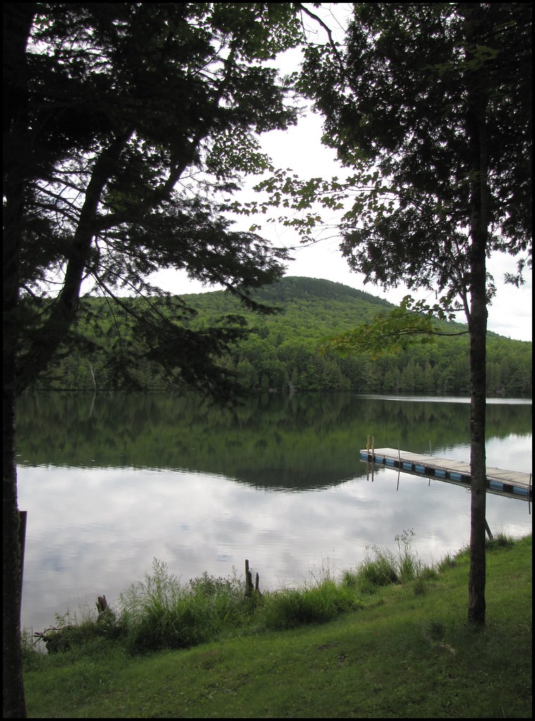
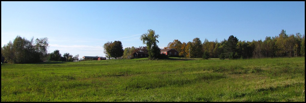
2011 August 5 - Timoney Lake in Oakfield, Maine
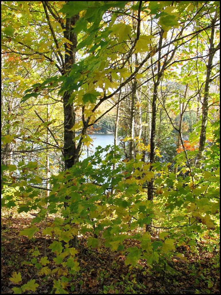
2011 October 8 - Autumn in Northern Maine. I took these photos while out on an afternoon walk.
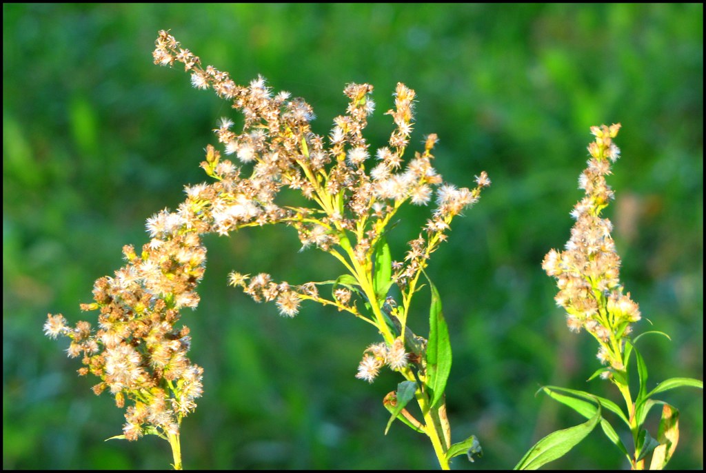
2011 October 8 - Autumn in Northern Maine. I took these photos while out on an afternoon walk.
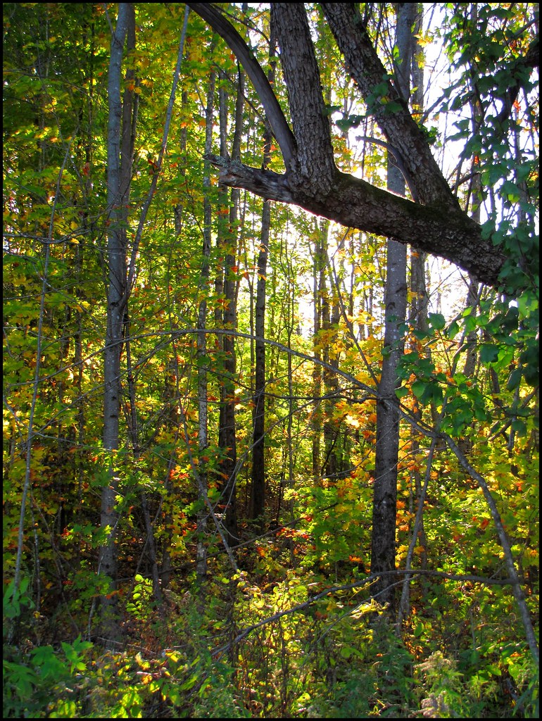
2011 October 8 - Autumn in Northern Maine. I took these photos while out on an afternoon walk.
2009 Aug 11 - The trail along the Meduxnekeag river in Houlton, Maine
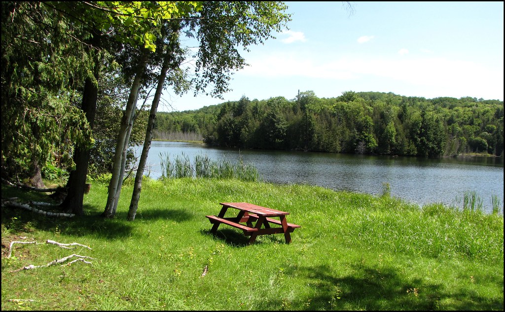
2011 August 5 - A picnic just waiting to happen on the shores of Timoney Lake in Oakfield, Maine
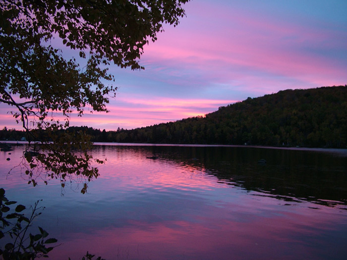
Drews Lake Sunrise
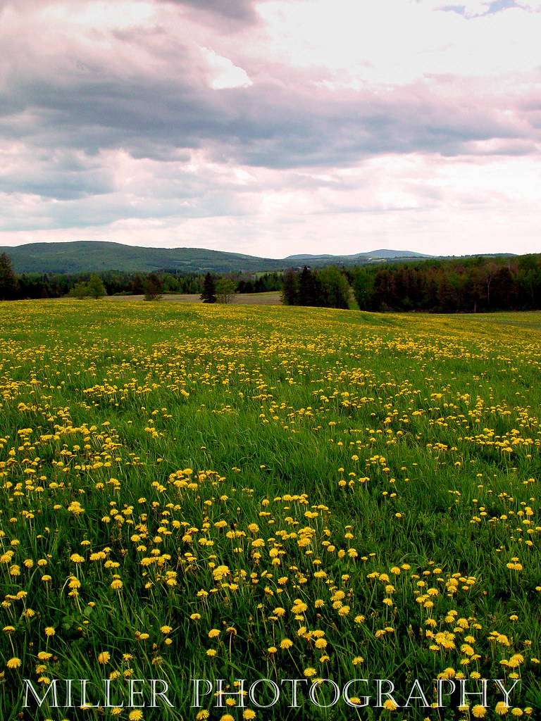
Dandelion Field
20130908-150910
Topographic Map of S Oakfield Rd, Linneus, ME, USA
Find elevation by address:

Places near S Oakfield Rd, Linneus, ME, USA:
334 S Oakfield Rd
334 S Oakfield Rd
334 S Oakfield Rd
South Oakfield Road
406 New Limerick Rd
Linneus
1768 Bangor Rd
New Limerick
Bangor Road
Drews Lake Road
Hannigan Road
Benn Hill Road
1599 Ludlow Rd
1599 Ludlow Rd
Ludlow
Ridge Rd, Oakfield, ME, USA
Cary
Hemore Road
US-1, Hodgdon, ME, USA
Hodgdon
Recent Searches:
- Elevation of Corso Fratelli Cairoli, 35, Macerata MC, Italy
- Elevation of Tallevast Rd, Sarasota, FL, USA
- Elevation of 4th St E, Sonoma, CA, USA
- Elevation of Black Hollow Rd, Pennsdale, PA, USA
- Elevation of Oakland Ave, Williamsport, PA, USA
- Elevation of Pedrógão Grande, Portugal
- Elevation of Klee Dr, Martinsburg, WV, USA
- Elevation of Via Roma, Pieranica CR, Italy
- Elevation of Tavkvetili Mountain, Georgia
- Elevation of Hartfords Bluff Cir, Mt Pleasant, SC, USA