Elevation of Indian Township, Indian Twp, ME, USA
Location: United States > Maine > Washington County >
Longitude: -67.590541
Latitude: 45.240493
Elevation: 72m / 236feet
Barometric Pressure: 100KPa
Elevation Map:
Satellite Map:
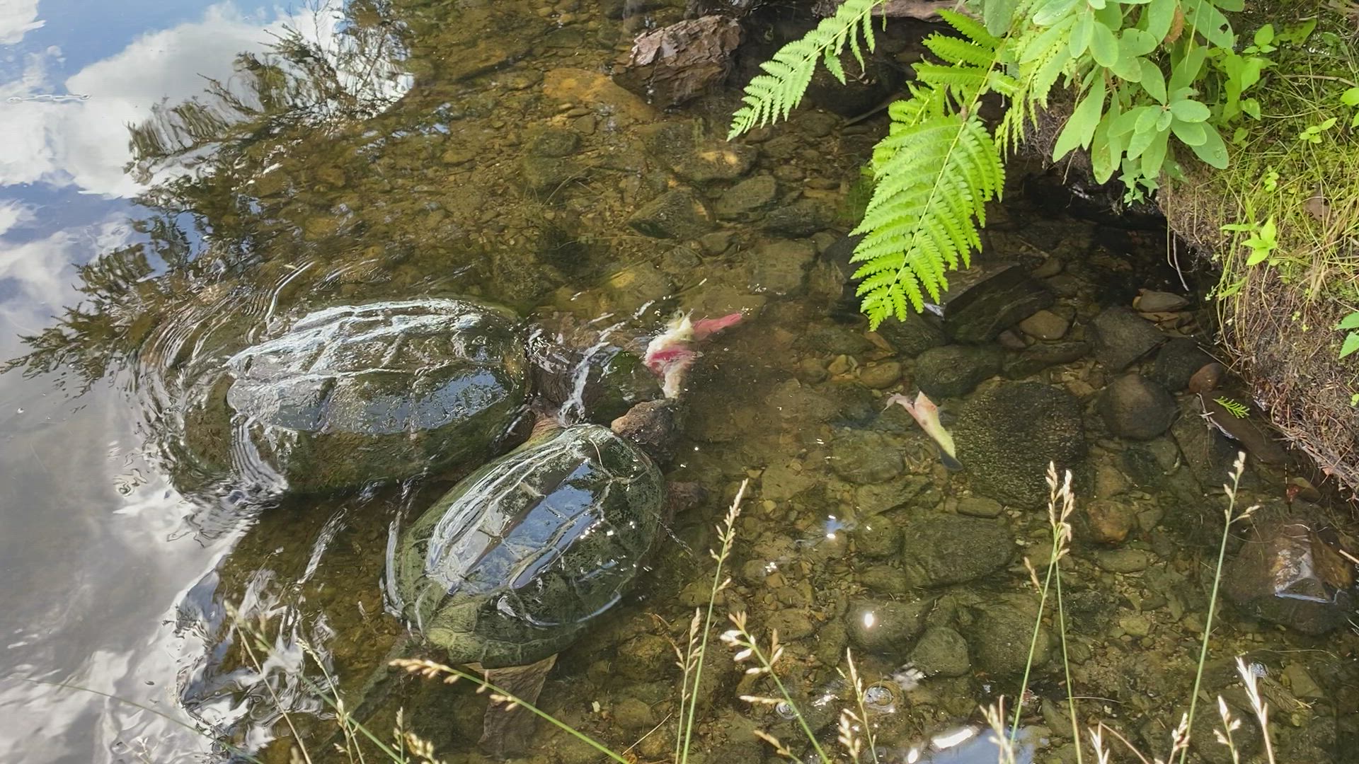
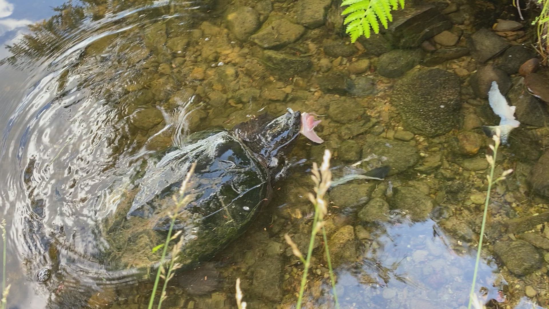
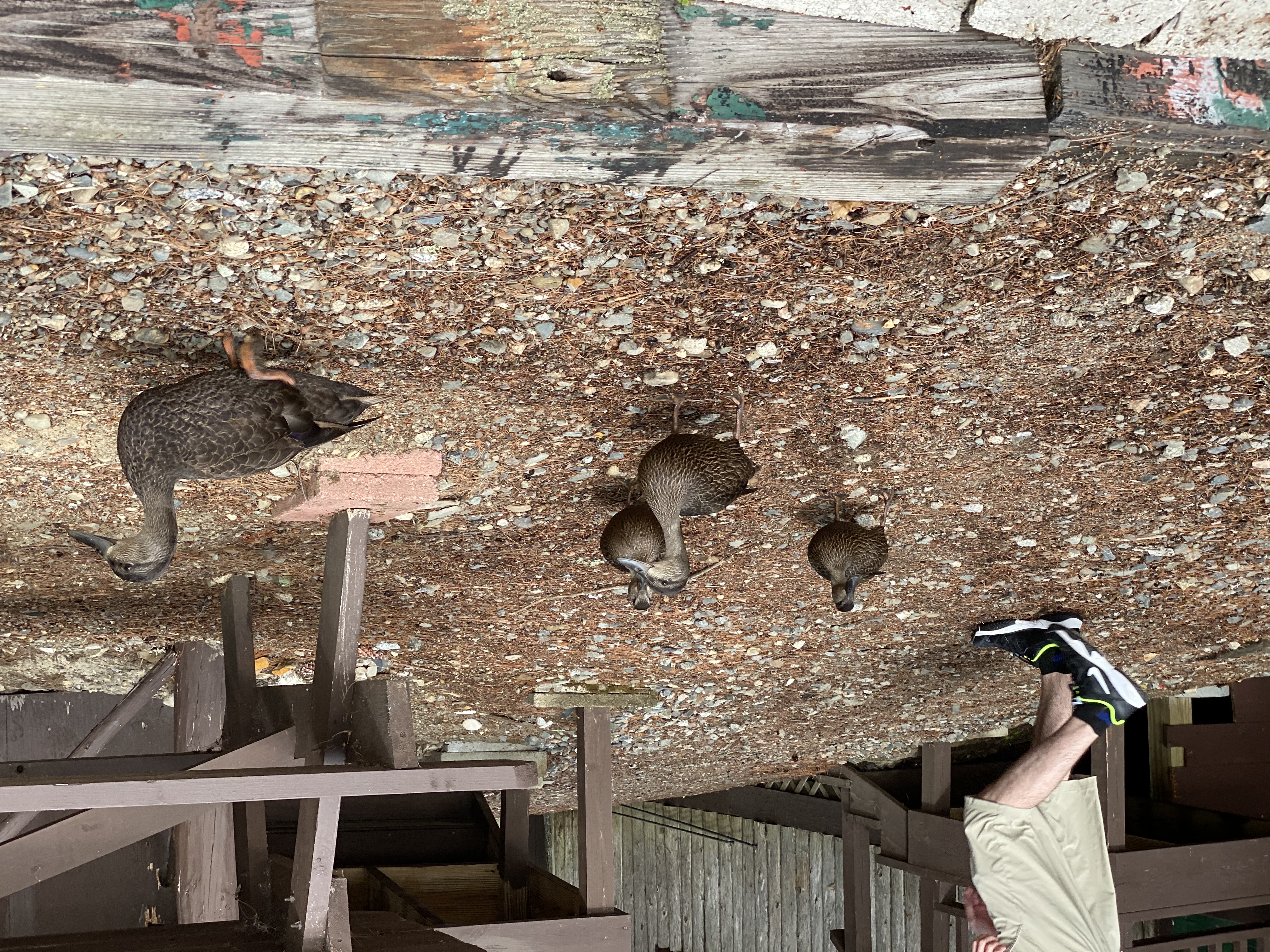
Related Photos:

our dock
The epic view from our cabin!

sunsets galore

the last sunset

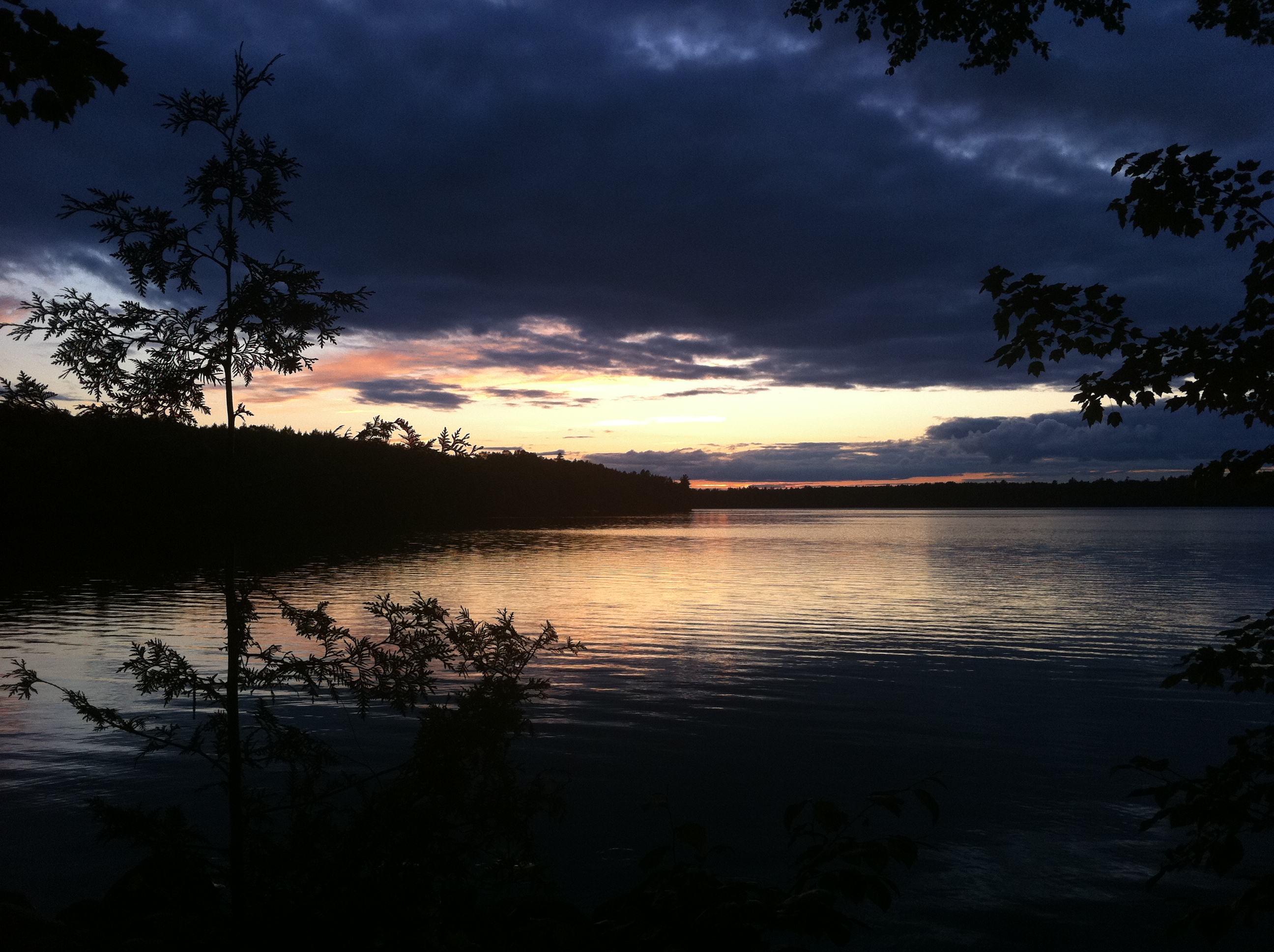
Sunset on Long Lake

Due east

Long Lake Panoram

Maine (Aug. 2020)
Maine (Aug. 2020)

Maine (Aug. 2020)

Maine (Aug. 2020)
Maine (Aug. 2020)

Maine (Aug. 2020)

Maine (Aug. 2020)

Maine (Aug. 2020)

Maine (Aug. 2020)

Maine (Aug. 2020)

Maine (Aug. 2020)

Maine (Aug. 2020)
Maine (Aug. 2020)

Maine (Aug. 2020)

Maine (Aug. 2020)

Maine (Aug. 2020)

Maine (Aug. 2020)

Maine (Aug. 2020)

Maine (Aug. 2020)

Maine (Aug. 2020)

Maine (Aug. 2020)
Topographic Map of Indian Township, Indian Twp, ME, USA
Find elevation by address:

Places near Indian Township, Indian Twp, ME, USA:
Crawford
Grand Lake Stream
Milford Rd, Grand Lake Stream, ME, USA
North Washington
Houlton Rd, Brookton, ME, USA
Dobsis Dam
Houlton Rd, Danforth, ME, USA
Danforth
6 Waterfront Dr, Weston, ME, USA
187 Tucker Ridge Rd
187 Tucker Ridge Rd
Canterbury Parish
Bancroft
Orient
Plantation Of Webster
Webster
Hartin Settlement
1152 Hartin Settlement Rd
1152 Hartin Settlement Rd
Kingman
Recent Searches:
- Elevation of Corcoran Ln, Suffolk, VA, USA
- Elevation of Mamala II, Sariaya, Quezon, Philippines
- Elevation of Sarangdanda, Nepal
- Elevation of 7 Waterfall Way, Tomball, TX, USA
- Elevation of SW 57th Ave, Portland, OR, USA
- Elevation of Crocker Dr, Vacaville, CA, USA
- Elevation of Pu Ngaol Community Meeting Hall, HWHM+3X7, Krong Saen Monourom, Cambodia
- Elevation of Royal Ontario Museum, Queens Park, Toronto, ON M5S 2C6, Canada
- Elevation of Groblershoop, South Africa
- Elevation of Power Generation Enterprises | Industrial Diesel Generators, Oak Ave, Canyon Country, CA, USA