Elevation of Hog Hollow Road, Hog Hollow Rd, Shelburne Falls, MA, USA
Location: United States > Massachusetts > Franklin County > Shelburne Falls >
Longitude: -72.776487
Latitude: 42.5948655
Elevation: 264m / 866feet
Barometric Pressure: 98KPa
Elevation Map:
Satellite Map:
Related Photos:

snowy start
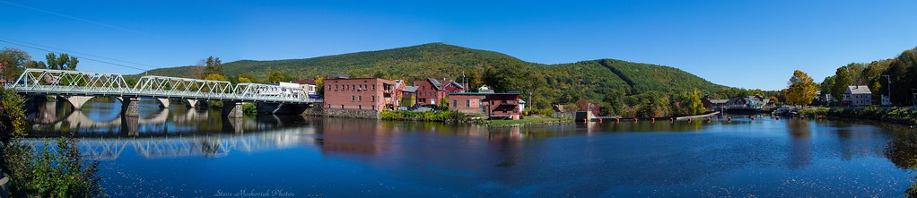
Shelburne Falls 0411-0417 Panorama

summer weekend

Nature's Lines and Curves

Sunshine in the Rain

White Dahlia
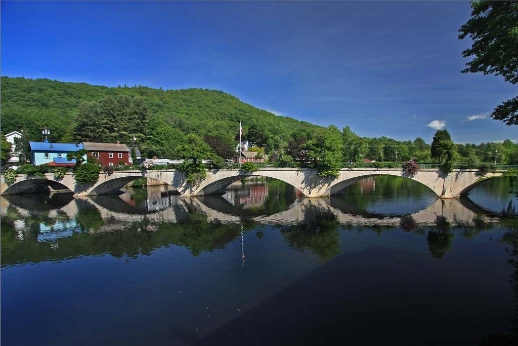
Bridge of Flowers

it's not about the destination, it's about the journey

Old Man of the Falls
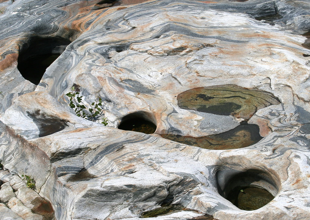
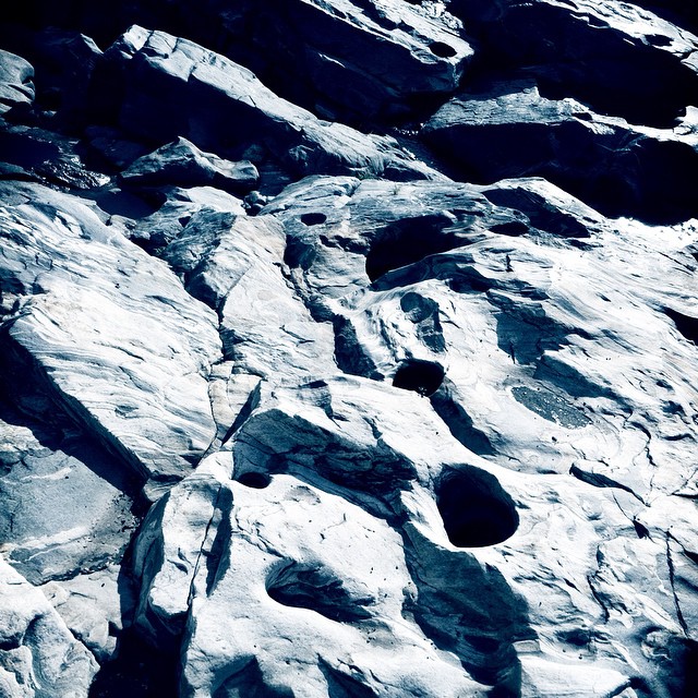
Glacial Potholes

Feb-19-2011_Magic-Wings_513
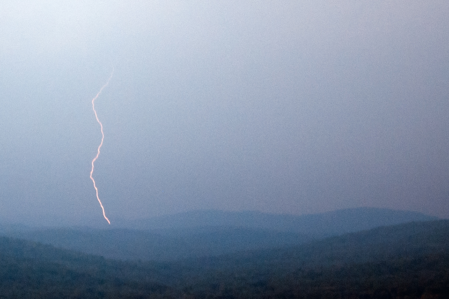
Summer Storm
Long View Tower
Last view of Cabot Station from the living room
Pony Mountain, Ashfield

View through Bridge to East Portal to Hurricane Damaged Eunice Williams Covered Bridge

Not a bad view to wake up to! #roadtripping #camping #scenicMassachusetts
the end...
Cruising by History

fast friends

Berkshire Highlands Pentathlon 2012
northern berkshire winterscape
Buckland on Deerfield

Shelburne Falls
Rock Dam
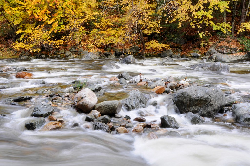
October on The Deerfield
#berkshires #newengland #nature-photography #nature #landscape #landscapephotography #landscape_captures #spring #landscape_lovers #beauty #fujifilm #fujifilm_xseries #massachusetts #spring #architecture #architecturephotography #architecturelovers #gree

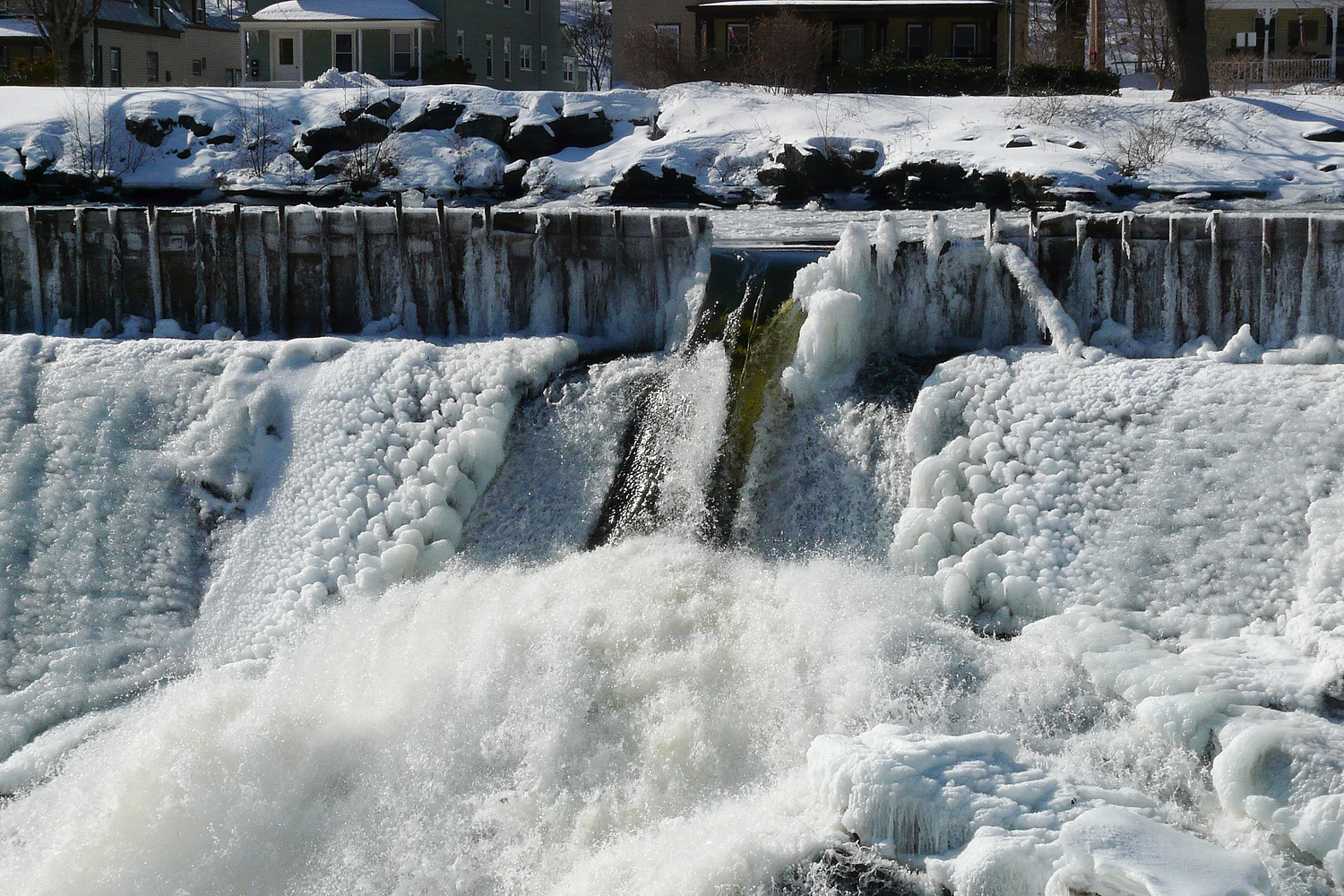
Salmon Falls at Shelburne Falls Ma
_DSC9804.jpg
H1-2007-01-21-018-pse3.jpg
FZ18-2009-03-05-017-pse3

Half on One Side

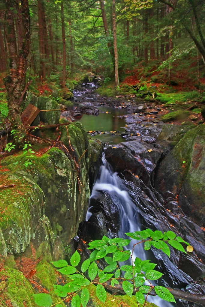
Chickley River

Bridge of Flowers Shelburne Falls Ma
Holes in a hole #nature #Geology #touristy
Day 8 Mowhawk Trail
Waiting for the Fairies
One Day!
_DSC9813.jpg
H1-2007-01-21-014-pse3.jpg
Topographic Map of Hog Hollow Road, Hog Hollow Rd, Shelburne Falls, MA, USA
Find elevation by address:

Places near Hog Hollow Road, Hog Hollow Rd, Shelburne Falls, MA, USA:
Buckland
7 Charlemont Rd, Buckland, MA, USA
7 Martin Rd
10 Charlemont Rd
23 Barnes Branch Rd
Mohawk Trail
MA-2, Shelburne Falls, MA, USA
Bailey Road
Bailey Road
Ashfield Mountain Rd, Ashfield, MA, USA
Hawley Road
Flagg Hill Road
36 Shawnee Dr
4 Shawnee Dr
181 S Rd
30 Waterfall Dr
19 Wigwam Dr
80 Labelle Rd
85 Labelle Rd
85 Labelle Rd
Recent Searches:
- Elevation of Corso Fratelli Cairoli, 35, Macerata MC, Italy
- Elevation of Tallevast Rd, Sarasota, FL, USA
- Elevation of 4th St E, Sonoma, CA, USA
- Elevation of Black Hollow Rd, Pennsdale, PA, USA
- Elevation of Oakland Ave, Williamsport, PA, USA
- Elevation of Pedrógão Grande, Portugal
- Elevation of Klee Dr, Martinsburg, WV, USA
- Elevation of Via Roma, Pieranica CR, Italy
- Elevation of Tavkvetili Mountain, Georgia
- Elevation of Hartfords Bluff Cir, Mt Pleasant, SC, USA