Elevation of Hilmar, CA, USA
Location: United States > California > Merced County > Hilmar >
Longitude: -120.87286
Latitude: 37.4069089
Elevation: 27m / 89feet
Barometric Pressure: 101KPa
Elevation Map:
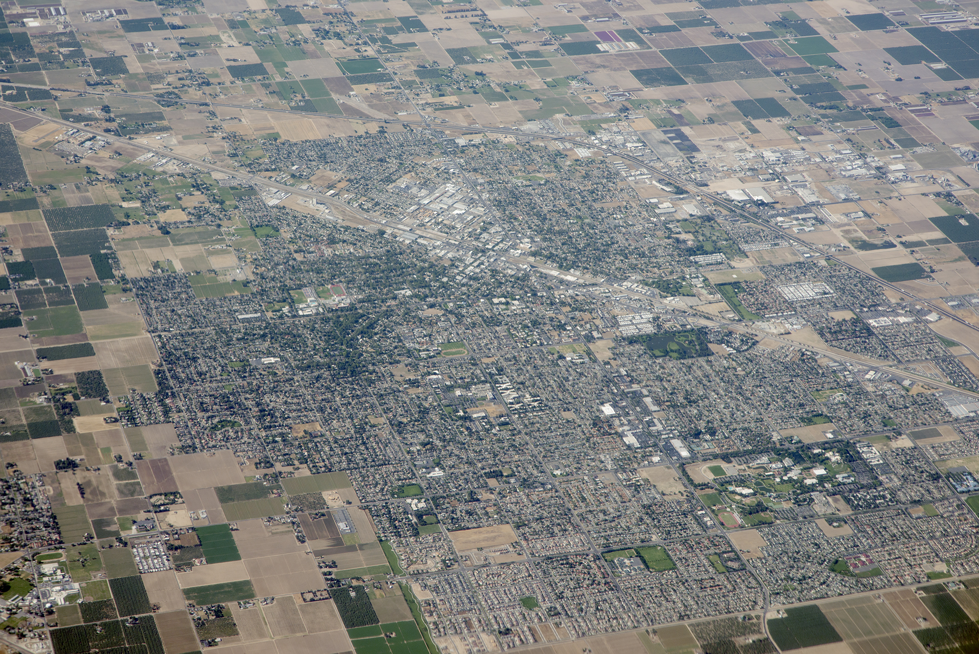
Satellite Map:
Related Photos:
Above Turlock and Highway 99, Stanislaus County, California
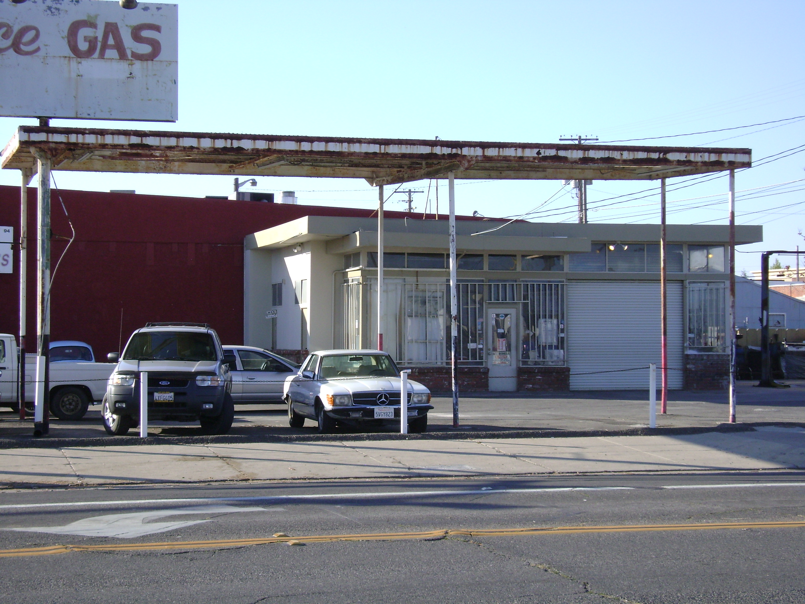
Town Service Gas
Waste to Power: Step 1
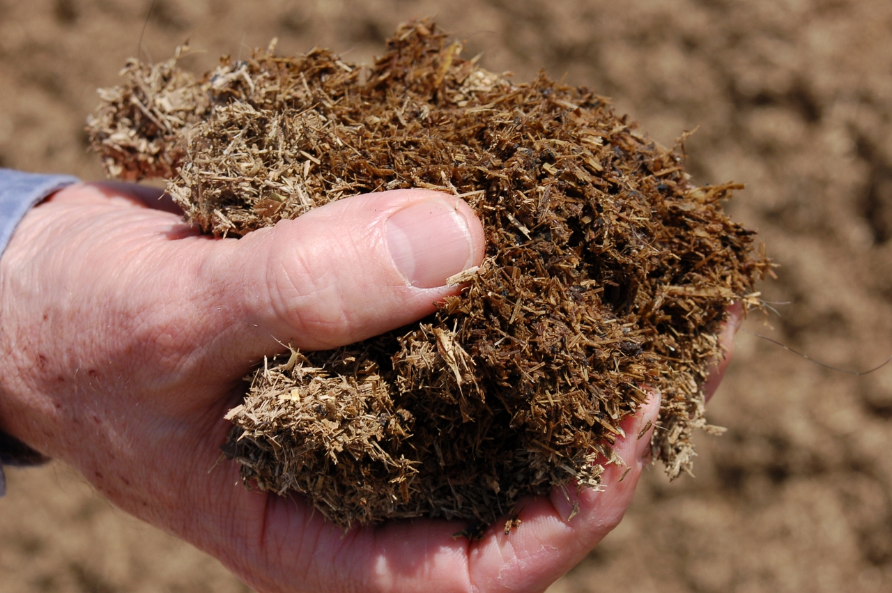
Waste to Power: Step 3
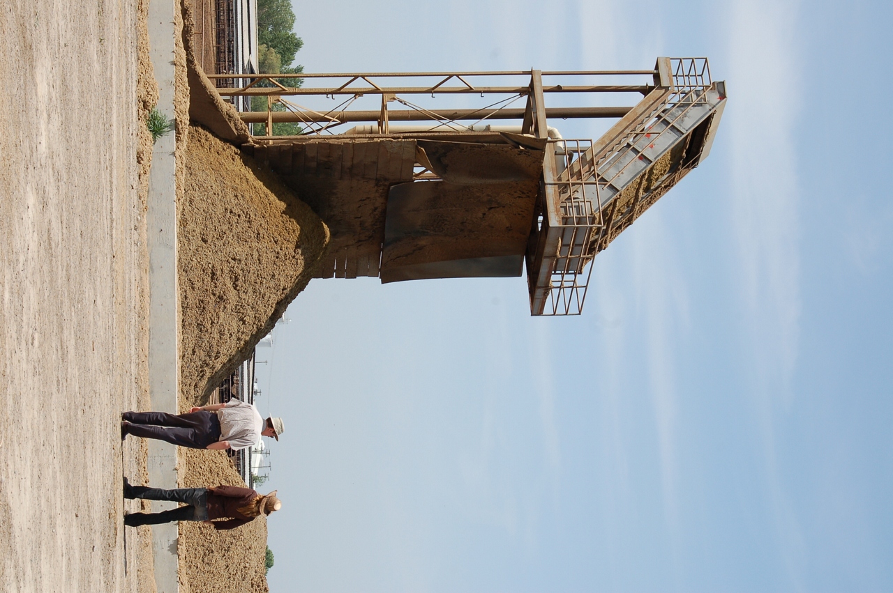
Waste to Power: Step 2
A Green Market
Waste to Power: Step 5
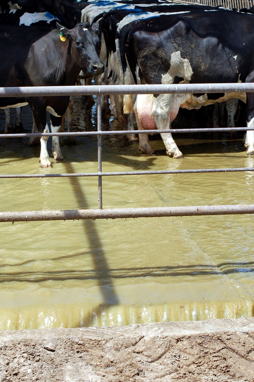
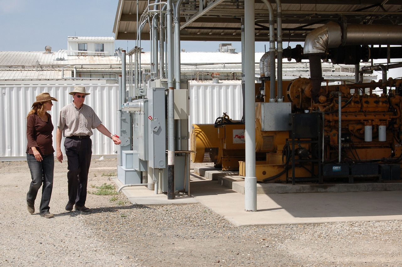
Milk and Biogas
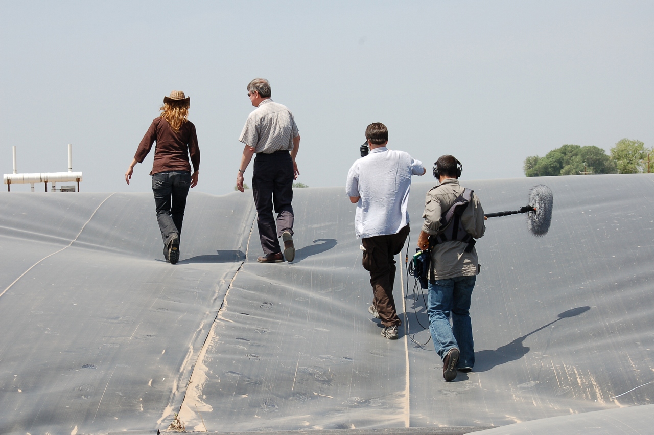
KQED Quest TV Shoot
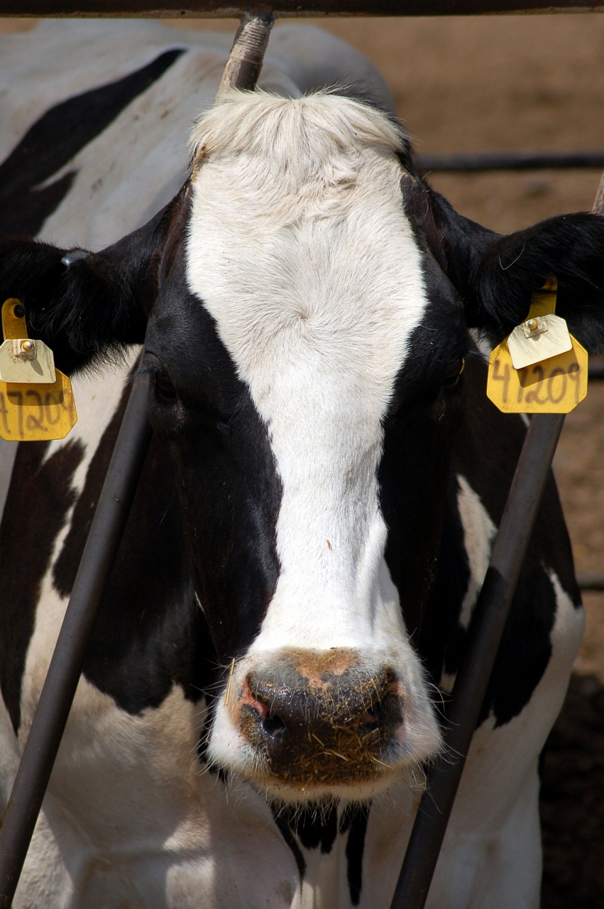
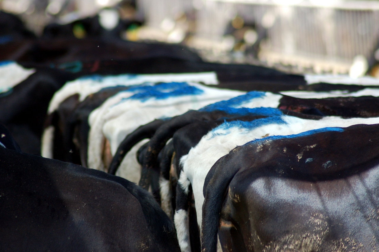
A Greener Cow
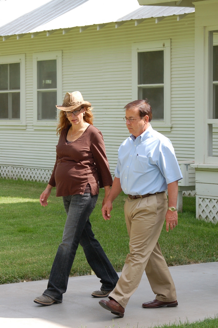
Joseph Gallo Farms

She's a Dancer

Collier Road Railroad Crossing View

El Captain Way Railroad Crossing

Finishing out the day

All smiles

Denair,Monte Vista Avenue

Birthday Girl

Summer is coming

View From The Coast to Yosemite NP

Simple playing.

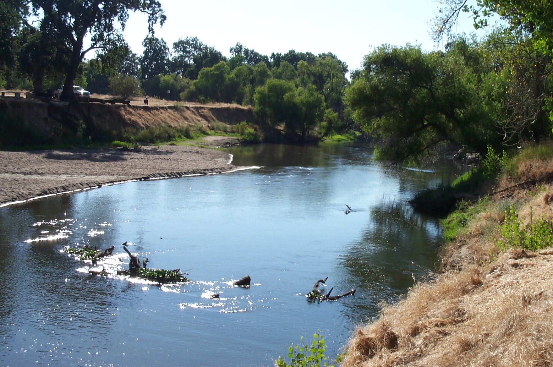
San Joaquin River

#Walk #tree #roots #russellreno #rollerderby
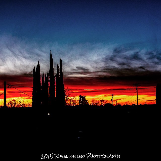
Sunset over Tweakerville #sunset #Tweakerville #turlock #russellreno #rollerderby #twilight

#fireseason #sunset #russellreno #russellrenophotography #turlock

a clump of reeds

Camera Roll-1784
Camera Roll-1787
Beauty in unexpected places
San Joaquin River overflow
Black Tailed Deer
Heartland Patience
Foster Farms in the background, young almond trees, sweet potatoes, and wildflowers.

Made it to here!!
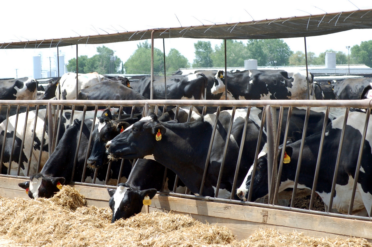
20040623_Hatfield_Cows-045
Merced River spilling it's banks.

BNSF4604 Manifest westbound in the Tehachipi Loop.

Turlock Sunset 2

#sunrise over #Tweakerville #turlock #russellreno #rollerderby

original copy 445
20040623_Hatfield_Cows-044
Topographic Map of Hilmar, CA, USA
Find elevation by address:

Places near Hilmar, CA, USA:
Hilmar
20068 River Rd
S Faith Home Rd, Turlock, CA, USA
931 E Linwood Ave
Stevinson
3rd Ave, Stevinson, CA, USA
Golden State Highway
Turlock
1532 Merritt St
Delhi
2412 Dow St
1400 Trinity Way
4206 Piro Ct
4150 Ash Rd
Denair
Main St, Denair, CA, USA
Livingston
Santa Fe Dr, Turlock, CA, USA
Court St, Livingston, CA, USA
8th St, Keyes, CA, USA
Recent Searches:
- Elevation of Hanson Rd, Cedaredge, CO, USA
- Elevation of Maxine St NE, Albuquerque, NM, USA
- Elevation of Blattner Rd, Philo, CA, USA
- Elevation of Polzela, Slovenia
- Elevation of Gorod Kislovodsk, Stavropol Krai, Russia
- Elevation of Kislovodsk, Stavropol Krai, Russia
- Elevation of Eagle Stone Drive, Eagle Stone Dr, The Preserve at Corkscrew, FL, USA
- Elevation of Formby Ct, Myrtle Beach, SC, USA
- Elevation of Hobbyhorse Ct, Dover, DE, USA
- Elevation of Horseshoe Ln, Dahlonega, GA, USA