Elevation of Hightowers, NC, USA
Location: United States > North Carolina > Caswell County >
Longitude: -79.222557
Latitude: 36.315636
Elevation: 158m / 518feet
Barometric Pressure: 99KPa
Elevation Map:
Satellite Map:
Related Photos:

Bell Tower on the Caswell County Courthouse Front View

Not enough heads in their business
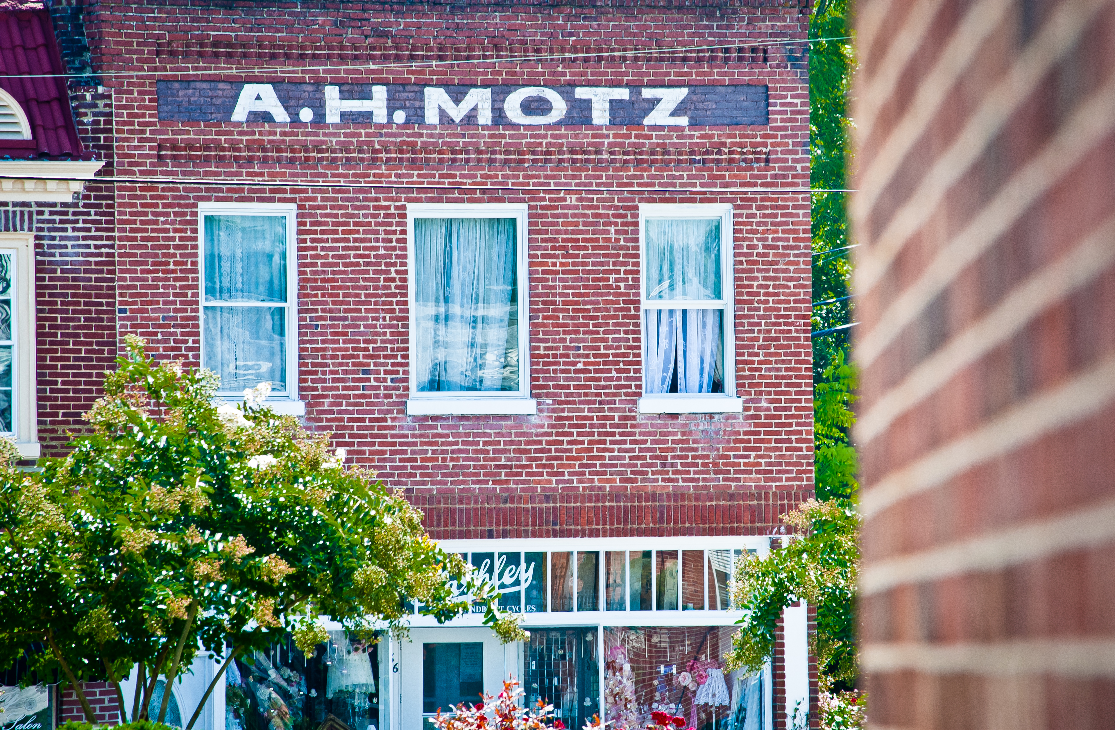
Yanceyville A. H. Motz

IMG_8349-2
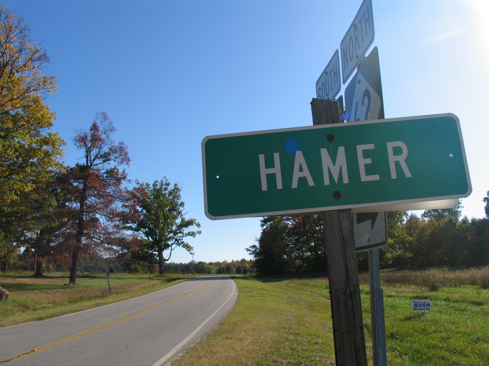
Hamer - 2
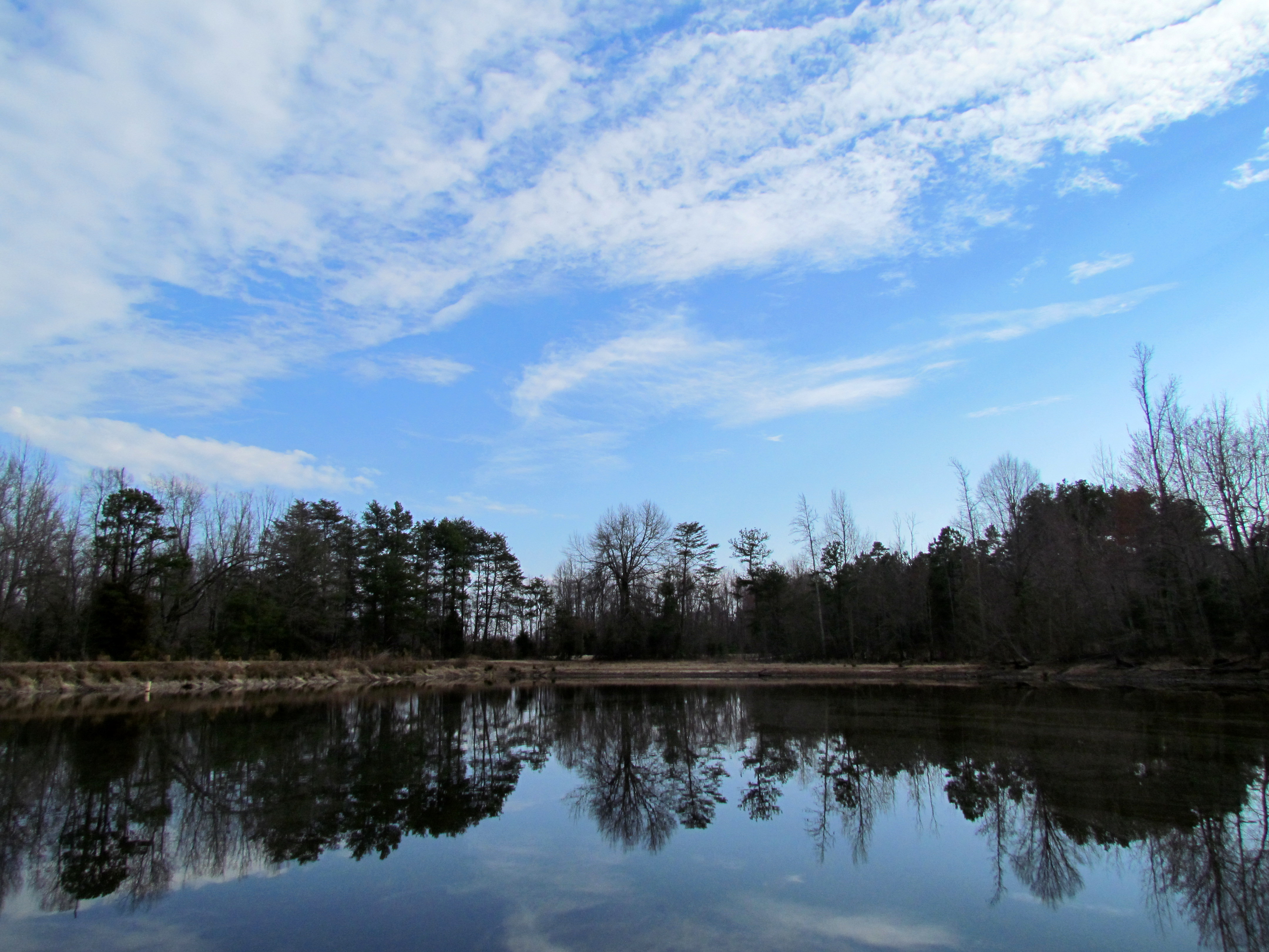
Farm, Pond source of the Eno, Winter Hike Eno River 1517
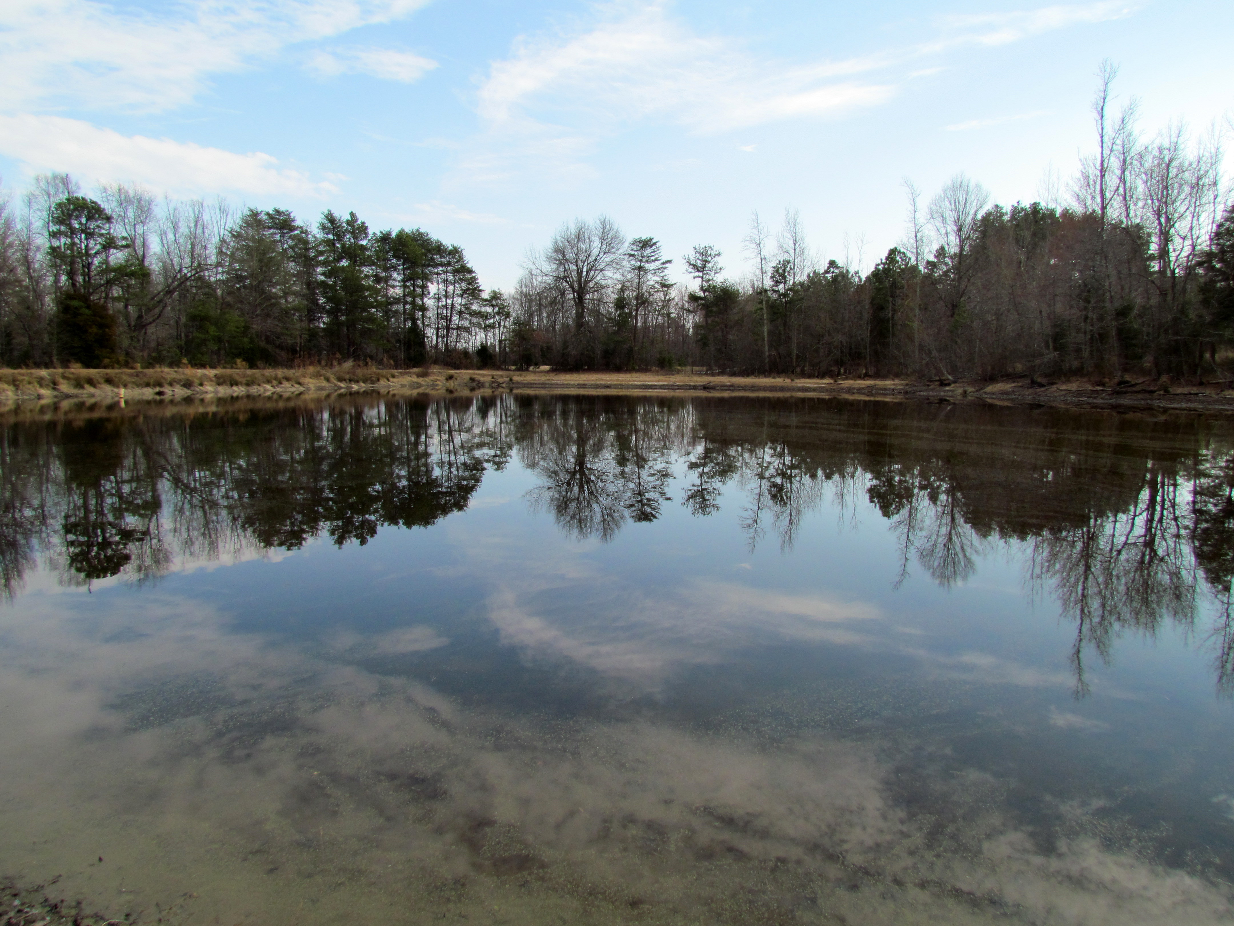
Farm, Pond source of the Eno, Winter Hike Eno River 1516

Farm, Pond source of the Eno, Winter Hike Eno River 1515
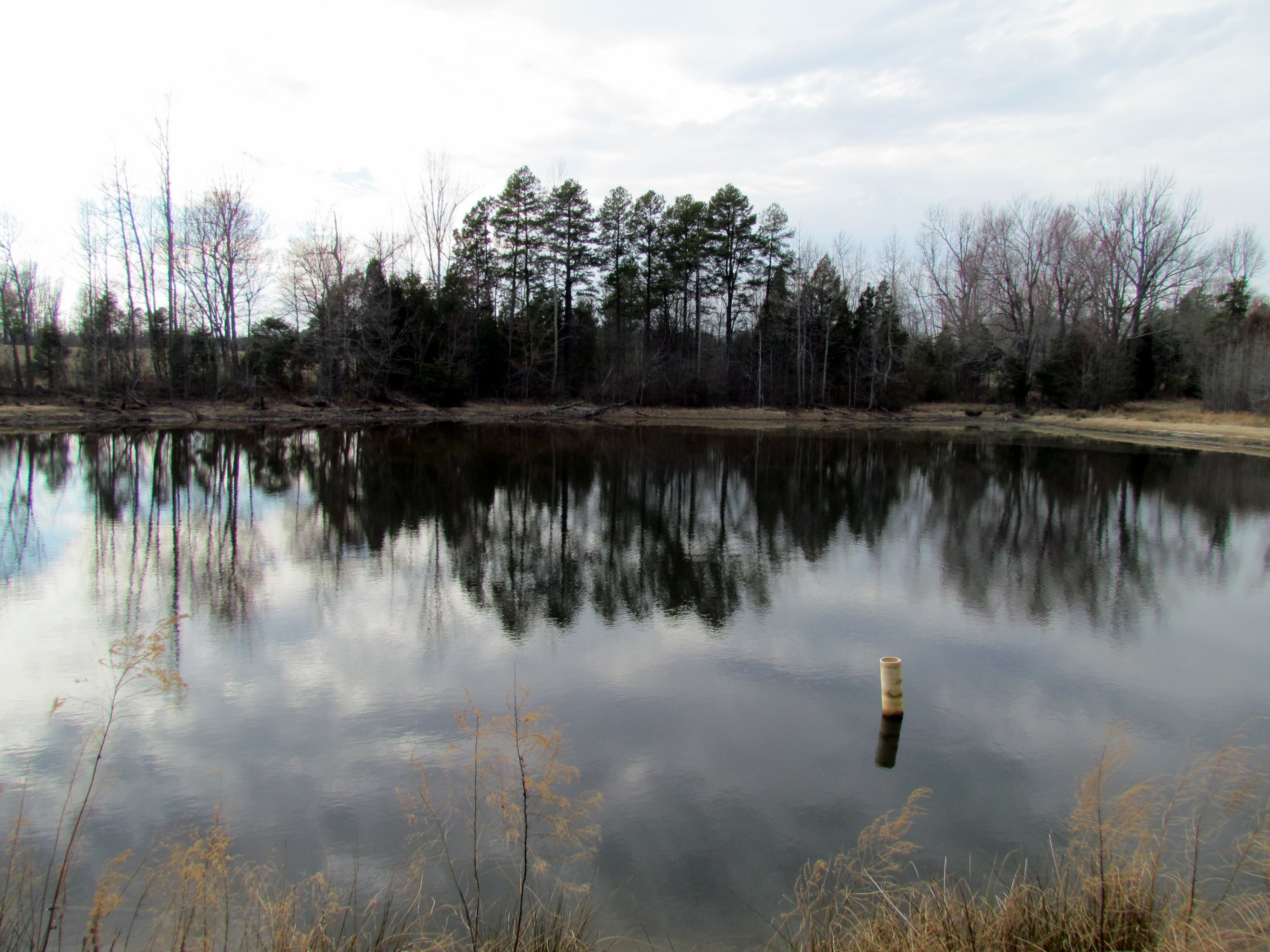
Farm, Pond source of the Eno, Winter Hike Eno River 1508

Swamp Sparrow 20141116001086
Winter Hike Eno River 1500

sunset over wilderose
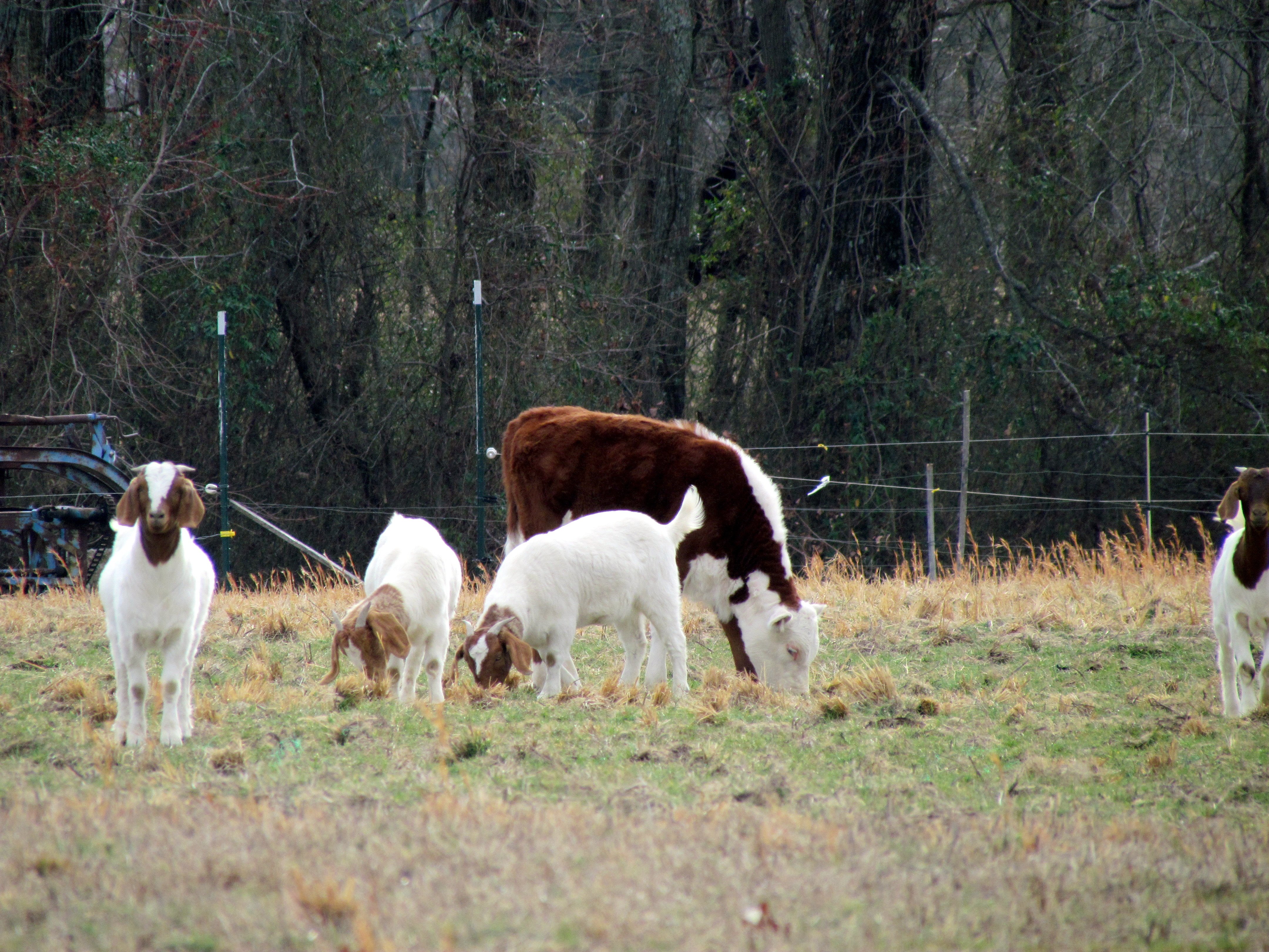
Cow and goats, Winter Hike Eno River 1512

Strawberry Picking
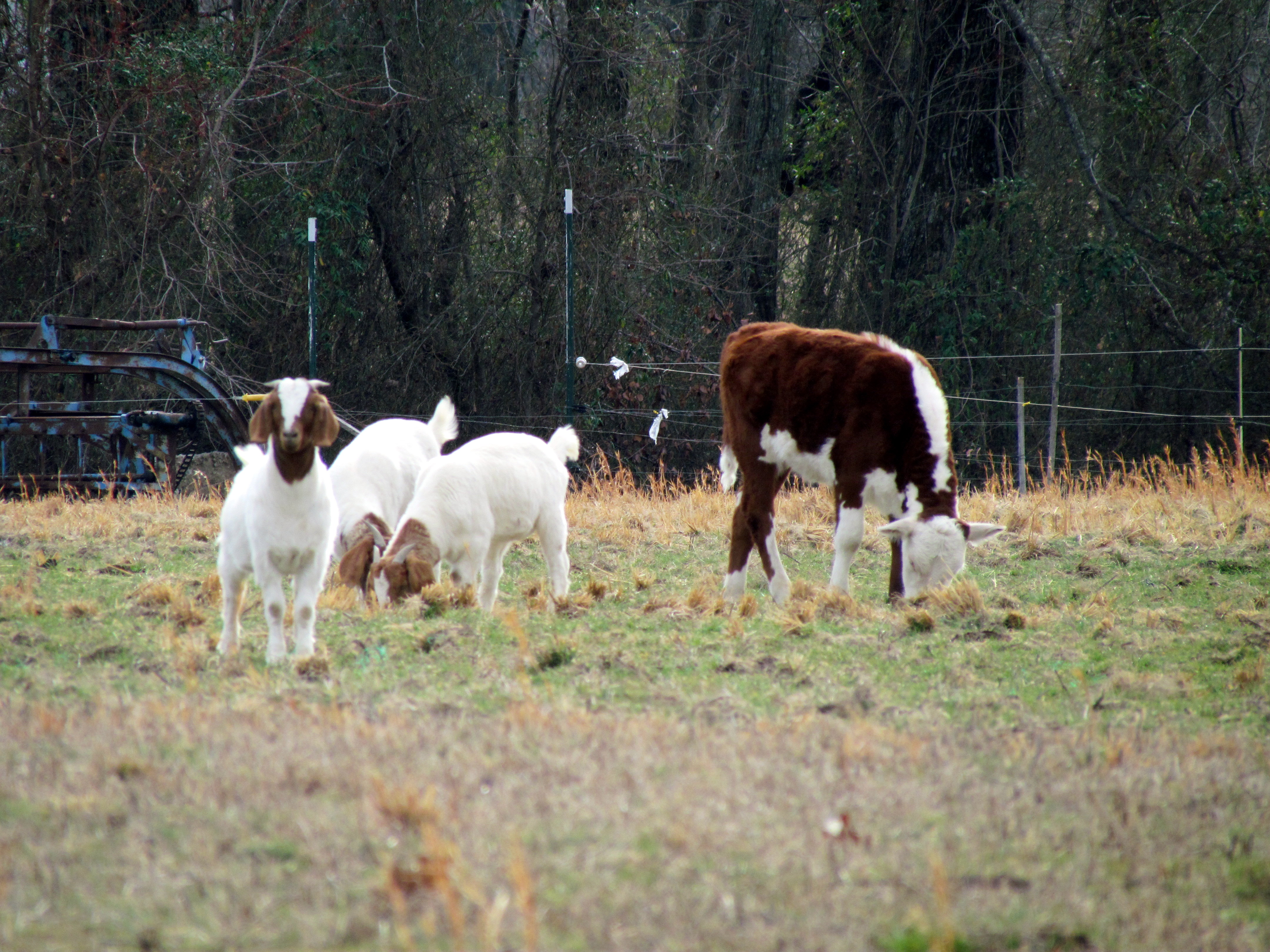
Cow and goats, Winter Hike Eno River 1514
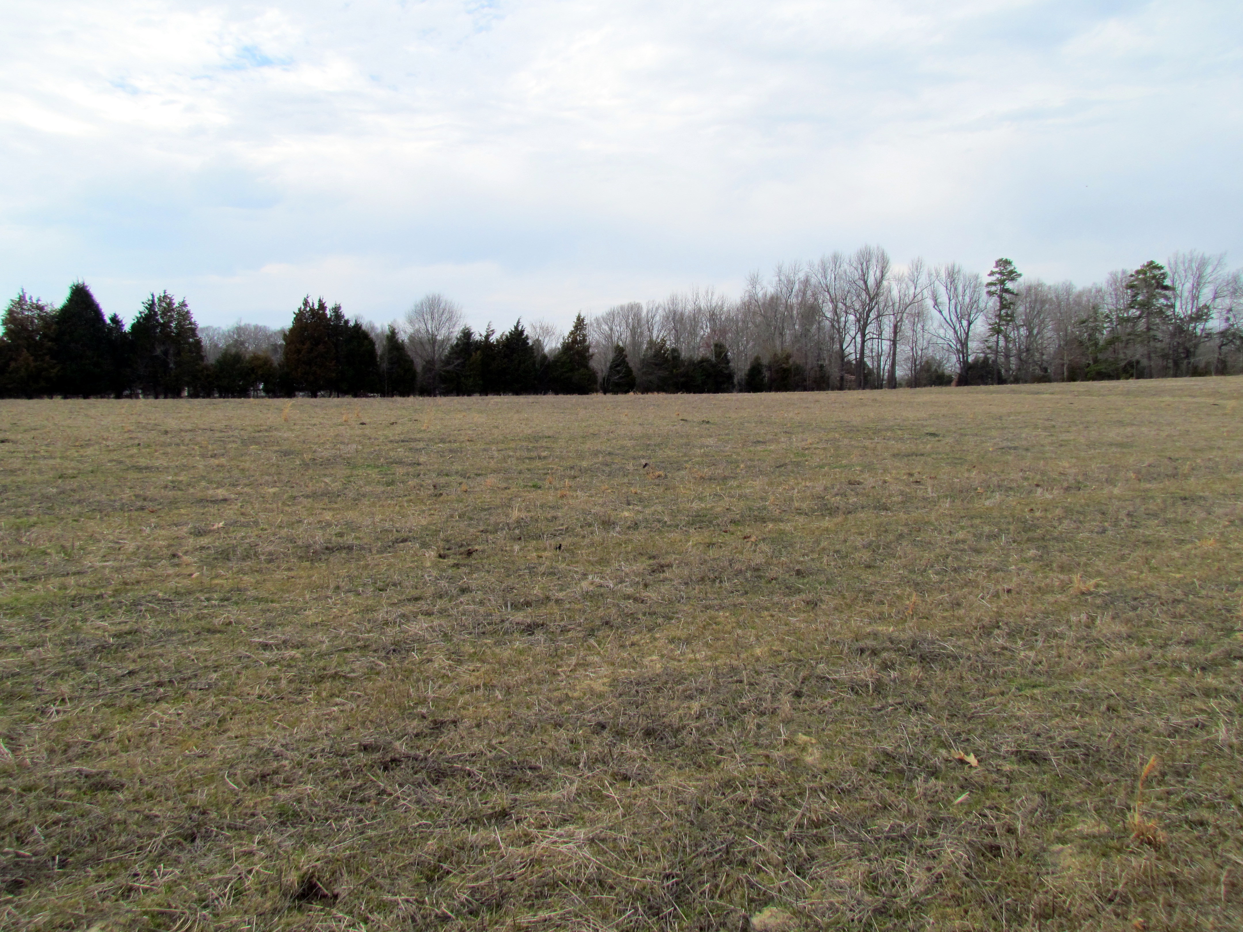
Winter Hike Eno River 1509
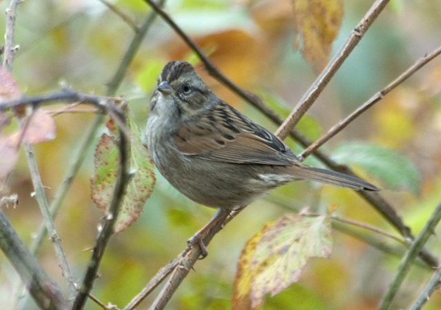
Swamp Sparrow 20141116001085

Azalea Landscaping
Topographic Map of Hightowers, NC, USA
Find elevation by address:

Places in Hightowers, NC, USA:
Places near Hightowers, NC, USA:
Roxboro Lake Road
Nc Hwy 86 S, Prospect Hill, NC, USA
1545 Wilson Rd
Leasburg
Leasburg, NC, USA
Baynes Rd, Burlington, NC, USA
Caswell County
Leasburg
NC-49, Cedar Grove, NC, USA
55 Richard Duncan Dr
7207 Nc-49
172 Gunn Ln
Yanceyville
1417 Zimmerman Rd
Bushy Fork
Yanceyville, NC, USA
Cedar Grove
279 Lake Shore Rd
Main St, Yanceyville, NC, USA
Yanceyville
Recent Searches:
- Elevation of N, Mt Pleasant, UT, USA
- Elevation of 6 Rue Jules Ferry, Beausoleil, France
- Elevation of Sattva Horizon, 4JC6+G9P, Vinayak Nagar, Kattigenahalli, Bengaluru, Karnataka, India
- Elevation of Great Brook Sports, Gold Star Hwy, Groton, CT, USA
- Elevation of 10 Mountain Laurels Dr, Nashua, NH, USA
- Elevation of 16 Gilboa Ln, Nashua, NH, USA
- Elevation of Laurel Rd, Townsend, TN, USA
- Elevation of 3 Nestling Wood Dr, Long Valley, NJ, USA
- Elevation of Ilungu, Tanzania
- Elevation of Yellow Springs Road, Yellow Springs Rd, Chester Springs, PA, USA