Elevation of Leasburg, NC, USA
Location: United States > North Carolina > Caswell County > Leasburg > Leasburg >
Longitude: -79.177426
Latitude: 36.3971858
Elevation: 170m / 558feet
Barometric Pressure: 99KPa
Elevation Map:
Satellite Map:
Related Photos:

Not enough heads in their business

Bell Tower on the Caswell County Courthouse Front View
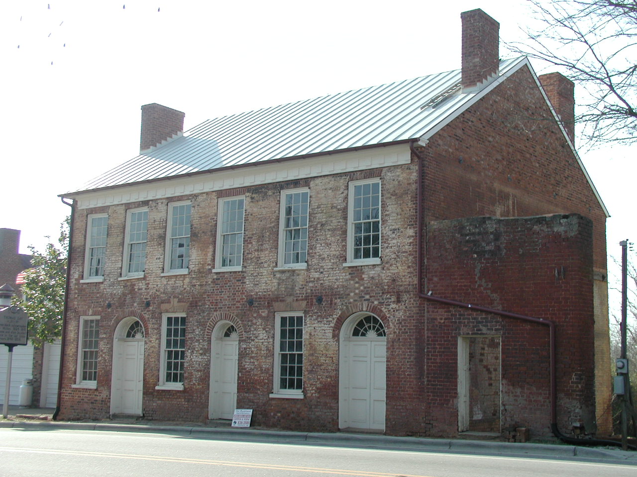
Thomas Day House, Union Tavern
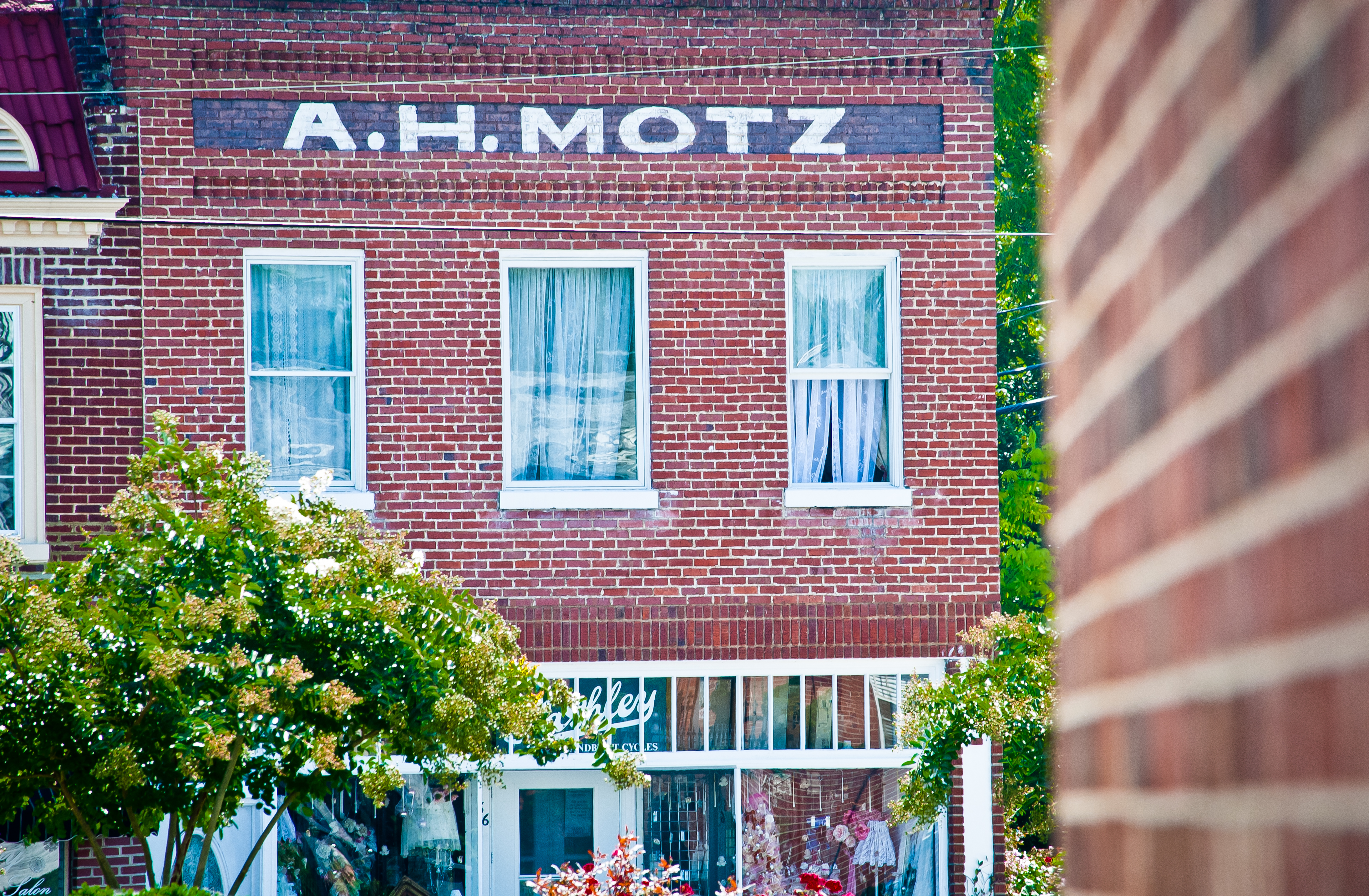
Yanceyville A. H. Motz
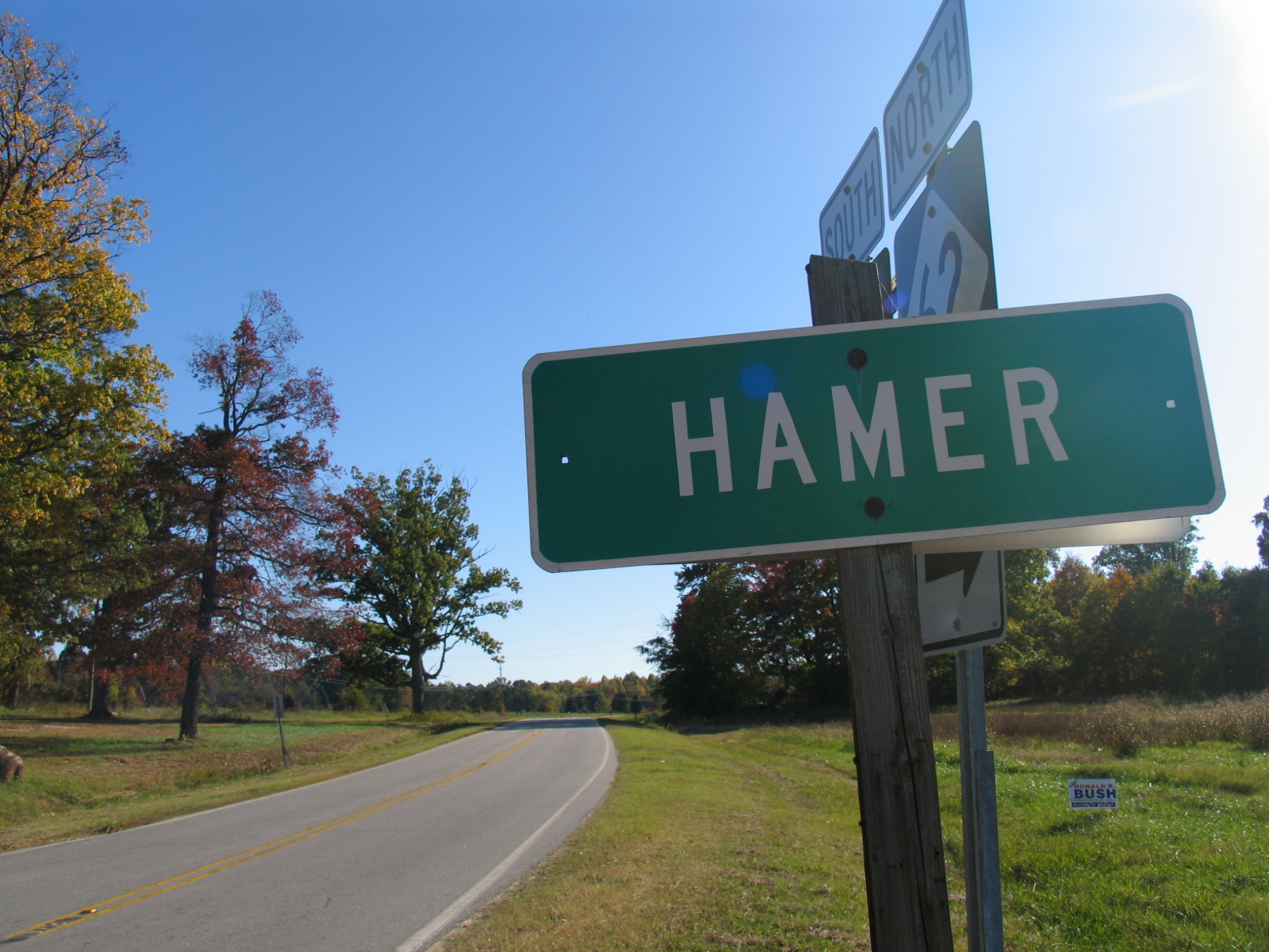
Hamer - 2

IMG_8349-2
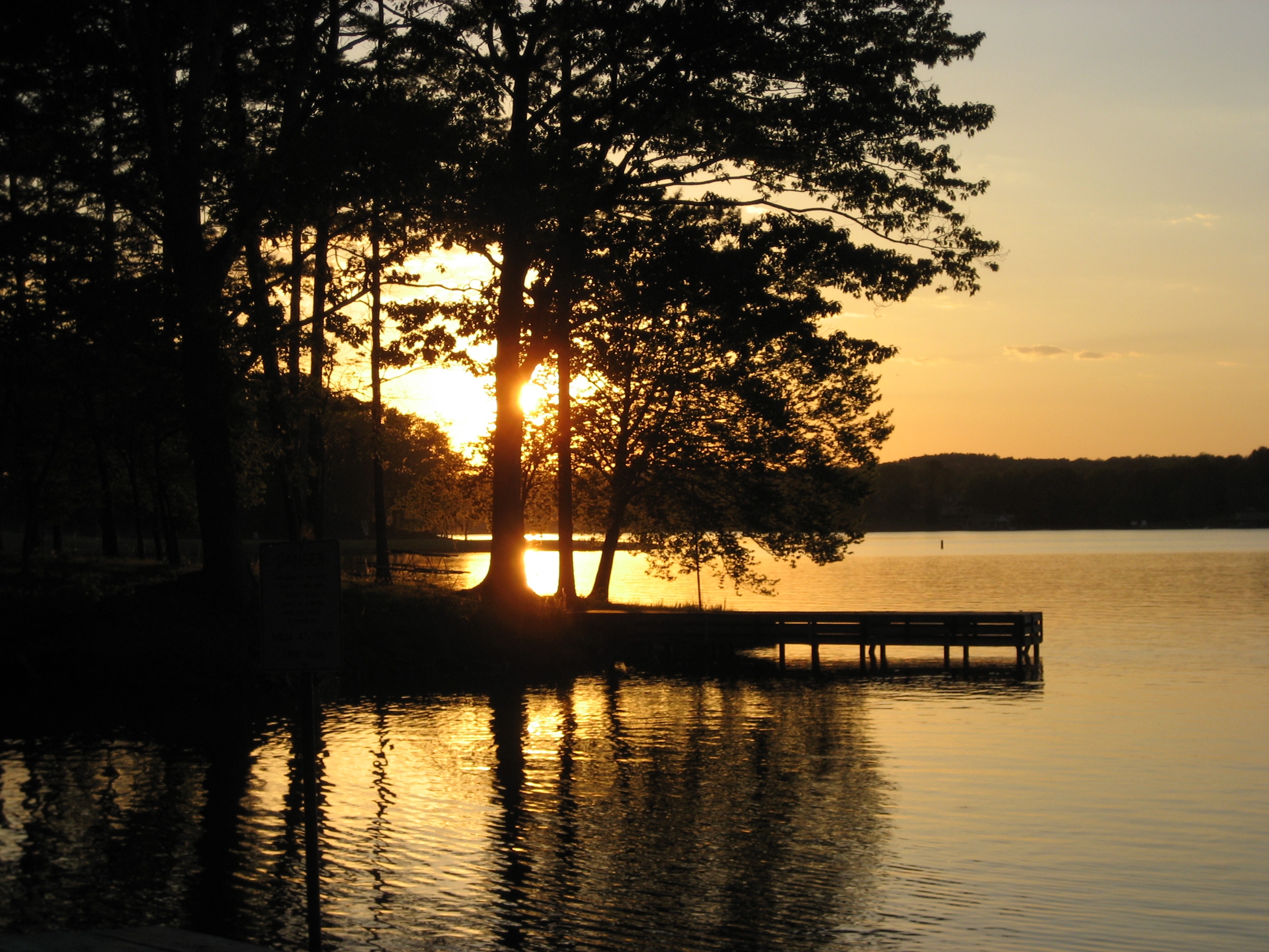
Hyco Lake Campground at sunset

Beautiful ending to our last day at the lake. #sunset
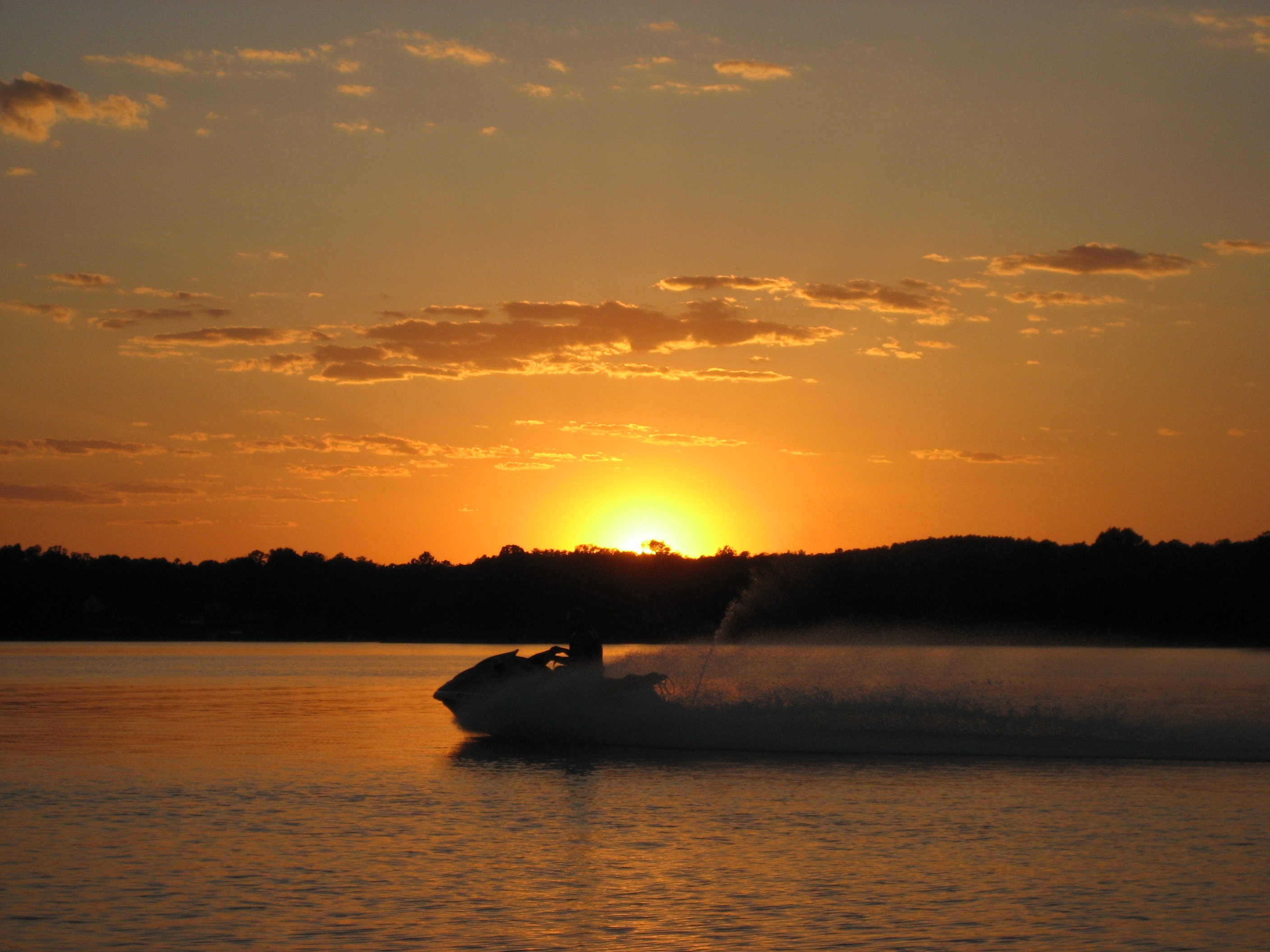
Sunset on the lake - 2
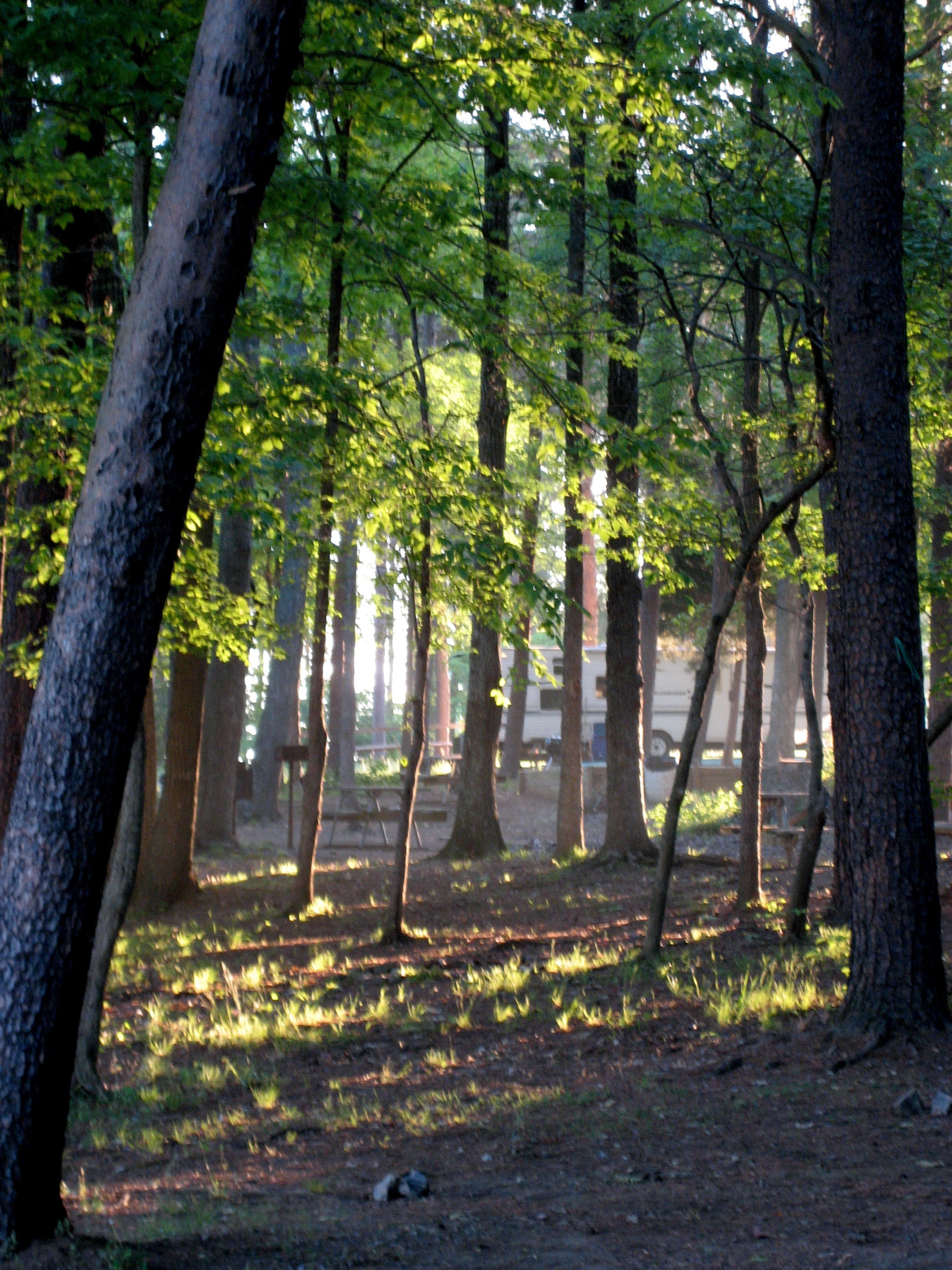
Early morning in camp
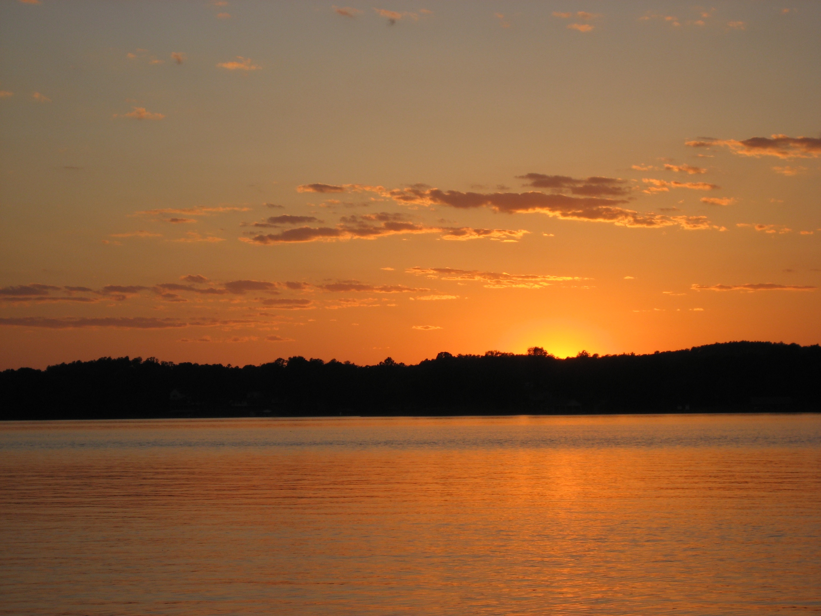
Sunset on the lake - 3
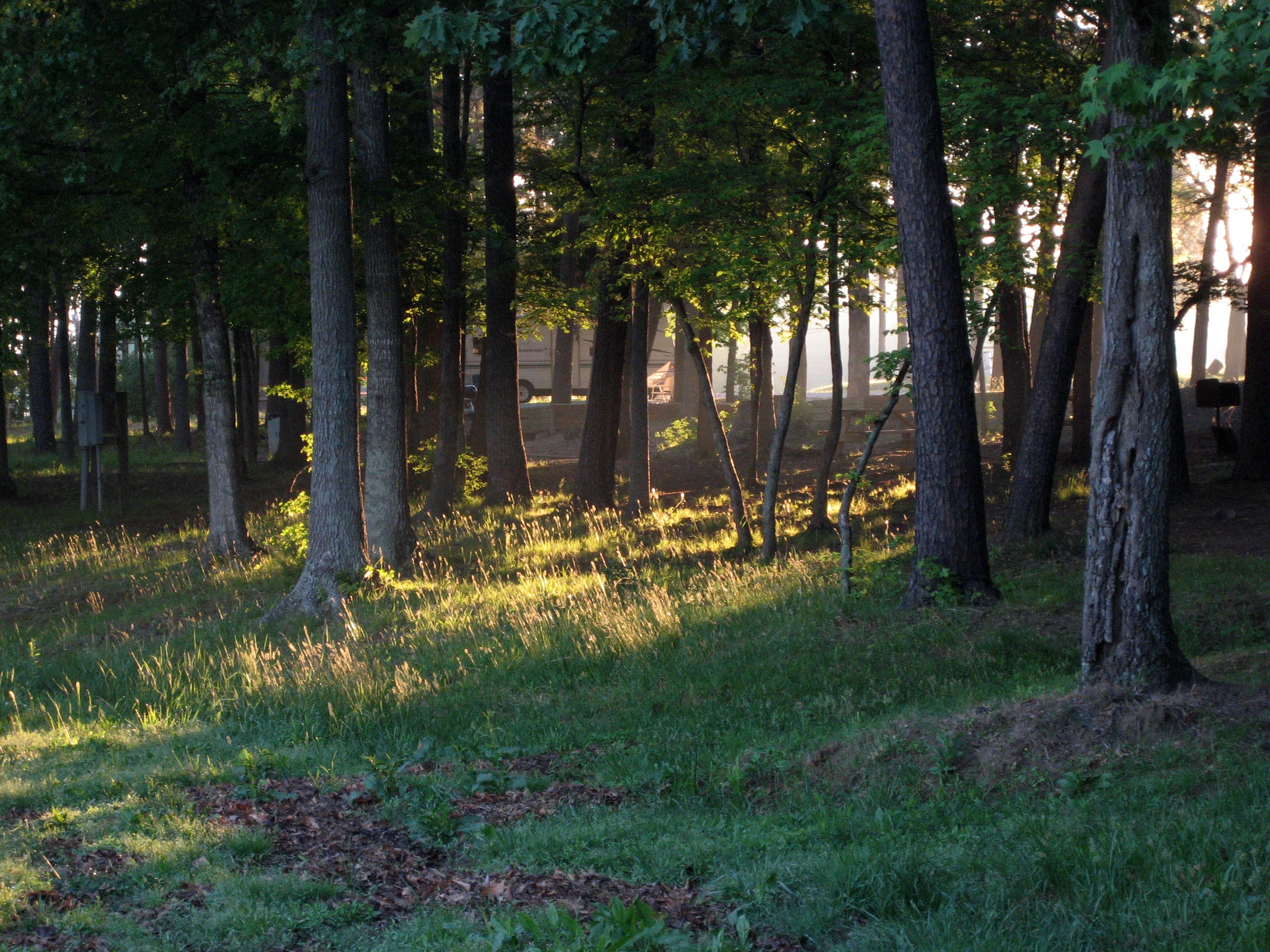
Early morning light slants through the trees

Swamp Sparrow 20141116001086
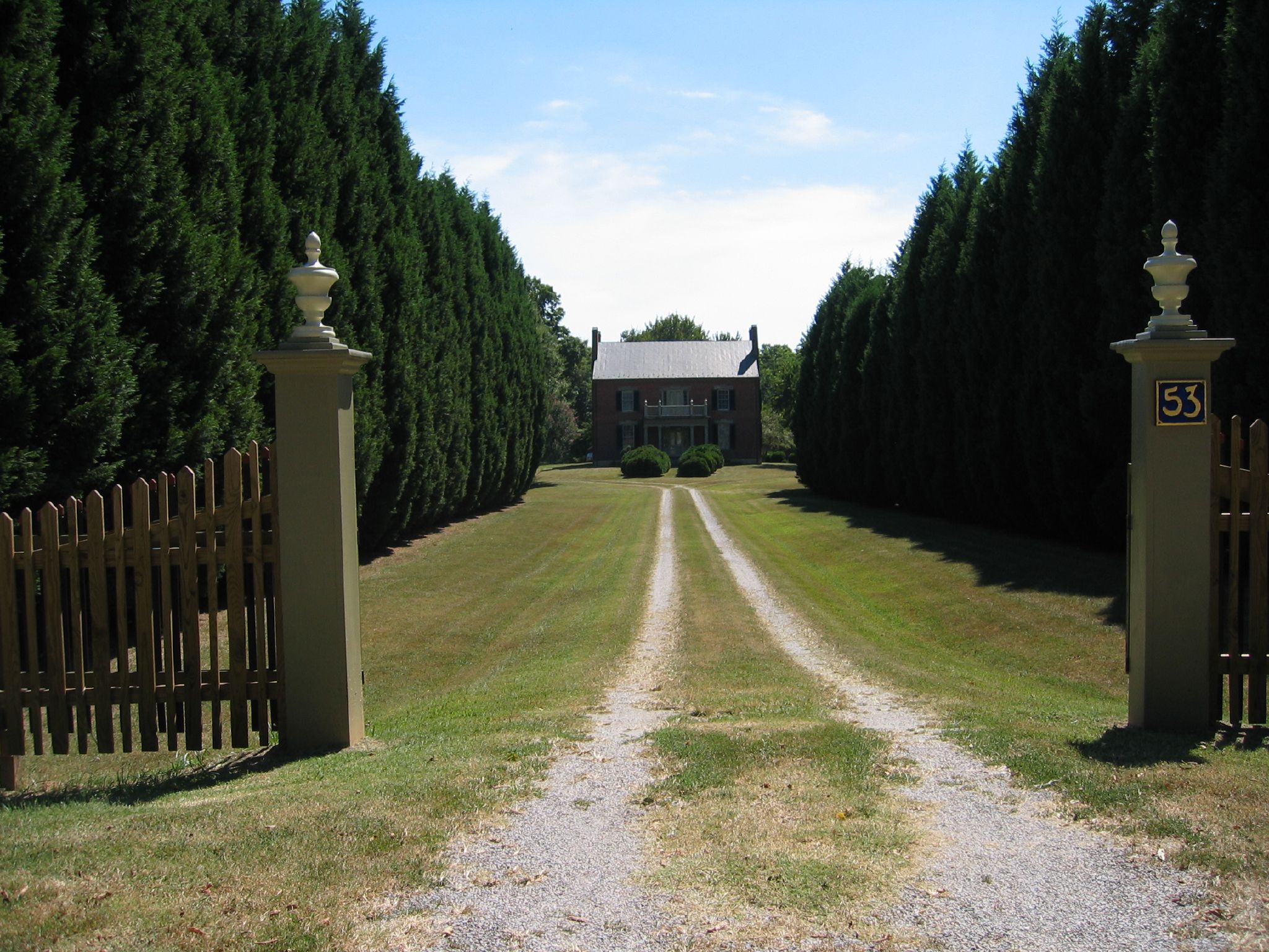
Clarendon Hall
Azalea Landscaping
Topographic Map of Leasburg, NC, USA
Find elevation by address:

Places near Leasburg, NC, USA:
Leasburg
55 Richard Duncan Dr
Leasburg
279 Lake Shore Rd
85 Holt Dr
1417 Zimmerman Rd
Milton
NC-, Milton, NC, USA
Hyco Lake
105 Possum Trot
105 Possum Trot
167 Possum Trot Ln
Yanceyville
Milton
1771 Slade Rd
Main St, Yanceyville, NC, USA
Yanceyville
Blanch
Blanch Rd, Blanch, NC, USA
1245 Pine Tree Rd
Recent Searches:
- Elevation of Groblershoop, South Africa
- Elevation of Power Generation Enterprises | Industrial Diesel Generators, Oak Ave, Canyon Country, CA, USA
- Elevation of Chesaw Rd, Oroville, WA, USA
- Elevation of N, Mt Pleasant, UT, USA
- Elevation of 6 Rue Jules Ferry, Beausoleil, France
- Elevation of Sattva Horizon, 4JC6+G9P, Vinayak Nagar, Kattigenahalli, Bengaluru, Karnataka, India
- Elevation of Great Brook Sports, Gold Star Hwy, Groton, CT, USA
- Elevation of 10 Mountain Laurels Dr, Nashua, NH, USA
- Elevation of 16 Gilboa Ln, Nashua, NH, USA
- Elevation of Laurel Rd, Townsend, TN, USA