Elevation of Yanceyville, NC, USA
Location: United States > North Carolina > Caswell County > Yanceyville >
Longitude: -79.336131
Latitude: 36.4040273
Elevation: 185m / 607feet
Barometric Pressure: 99KPa
Elevation Map:
Satellite Map:
Related Photos:

Bell Tower on the Caswell County Courthouse Front View

Not enough heads in their business
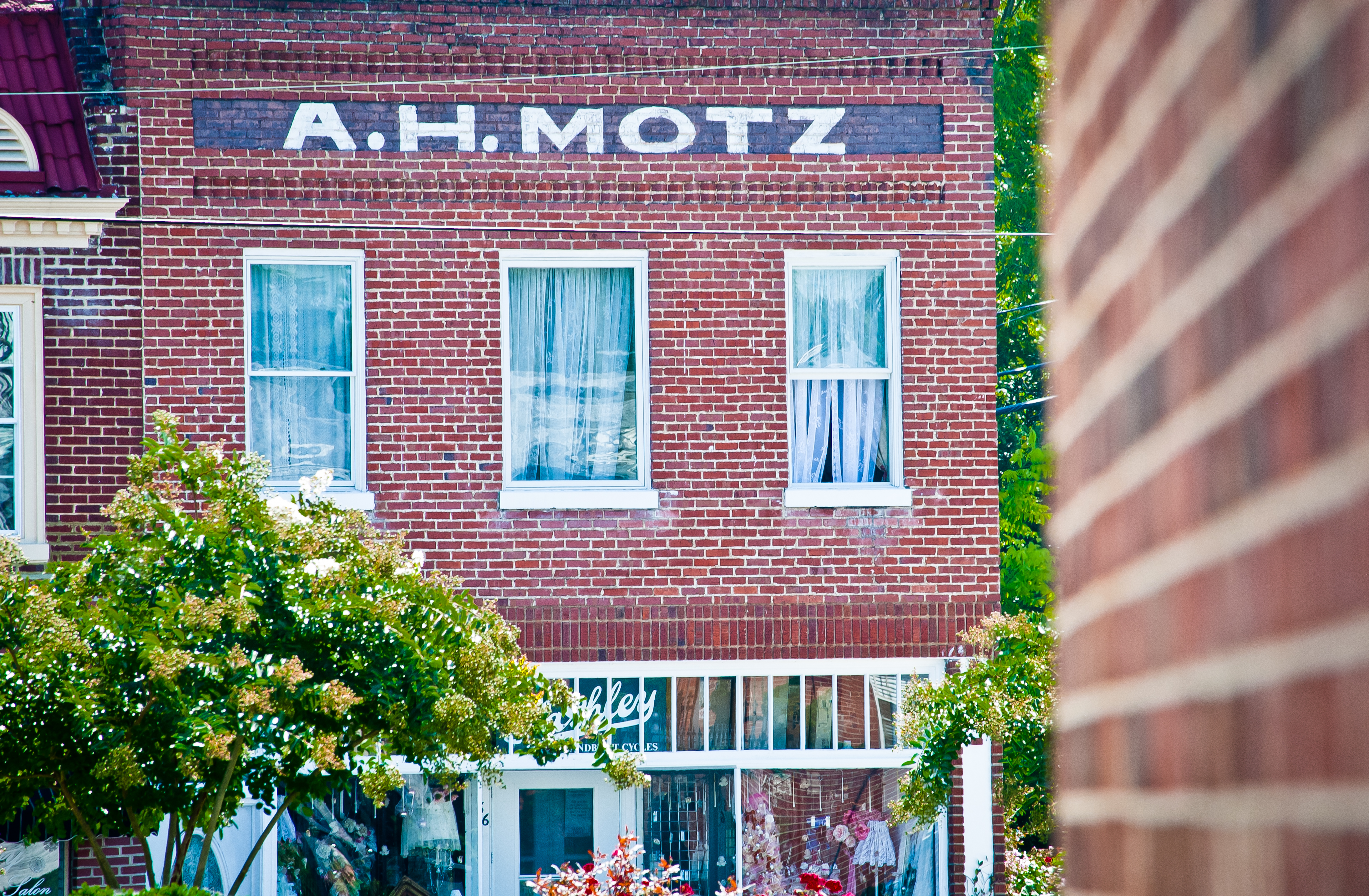
Yanceyville A. H. Motz

IMG_8349-2
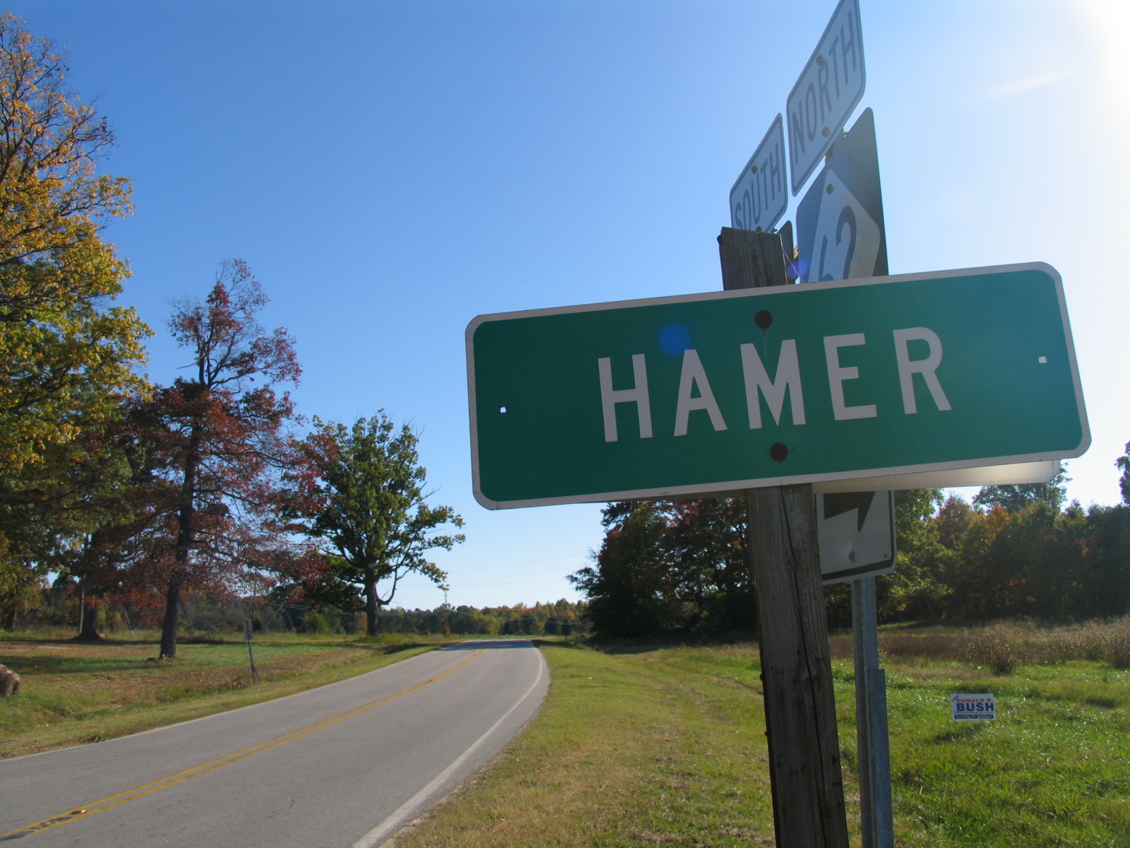
Hamer - 2
20131016 beautiful day here 289/365

IMG_6793 copy
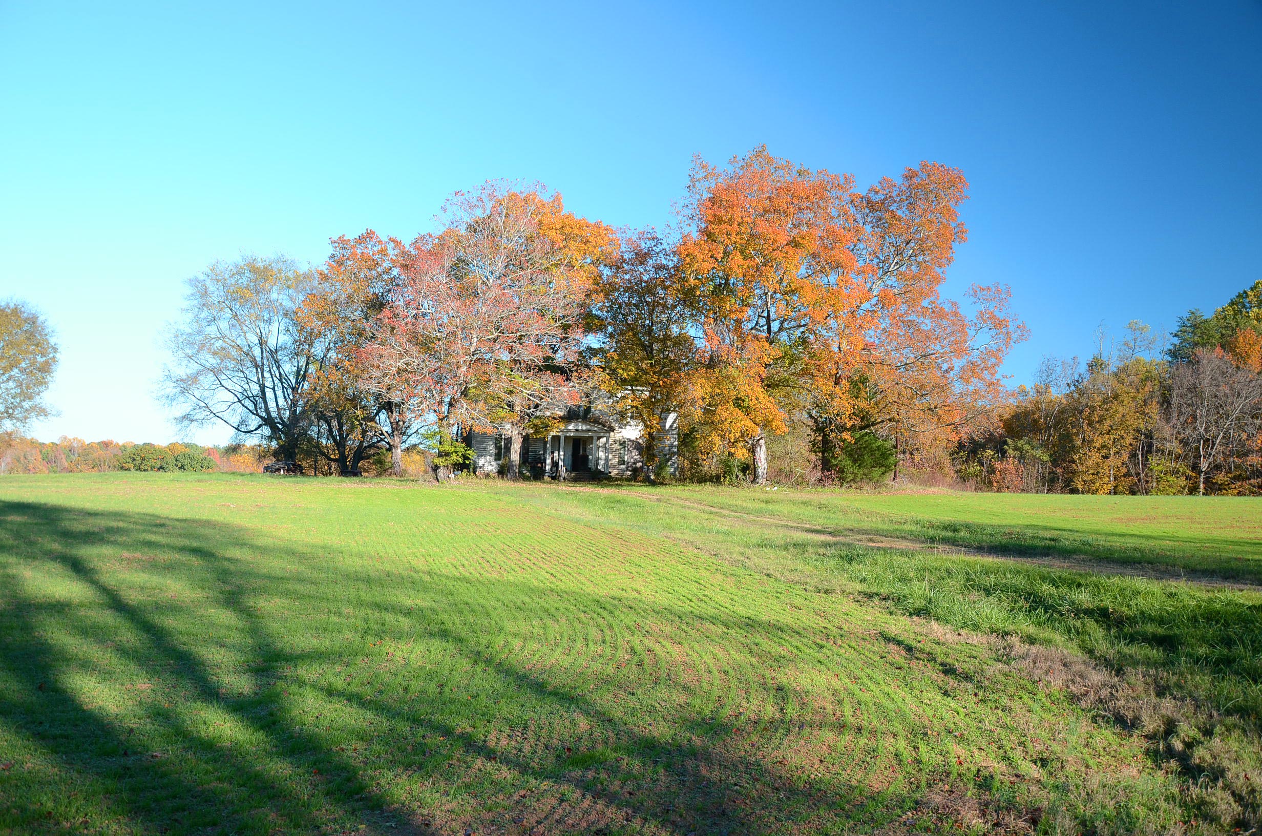
Haunted House
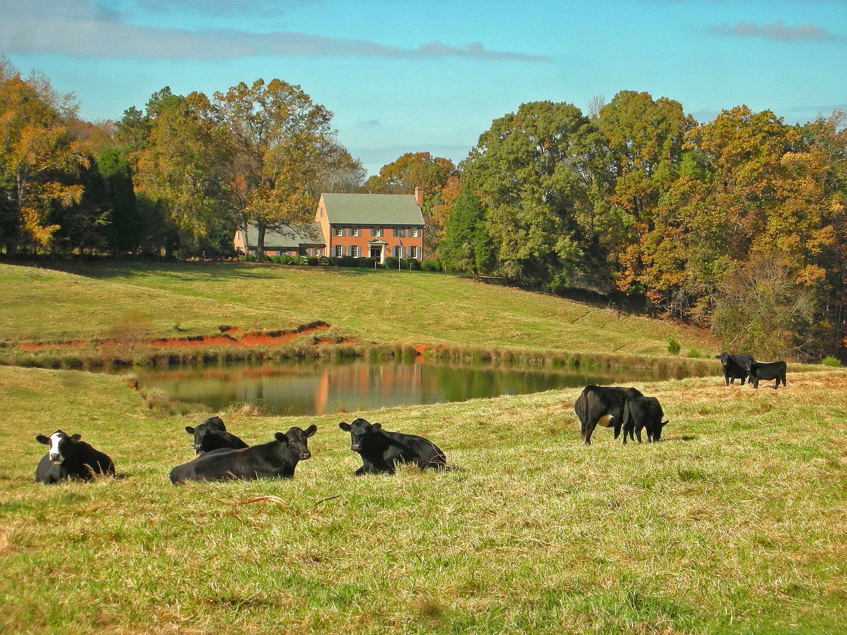
Bucolic Scene
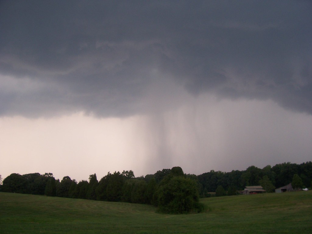
Approaching Storm

August Sunset 1

Azalea Landscaping

Swamp Sparrow 20141116001086

Swamp Sparrow 20141116001085
Topographic Map of Yanceyville, NC, USA
Find elevation by address:

Places in Yanceyville, NC, USA:
Places near Yanceyville, NC, USA:
Main St, Yanceyville, NC, USA
748 Main St
749 Main St
Fresenius Kidney Care Caswell
1253 Main St
Yanceyville
1446 Hatchett Rd
Old State Hwy, Yanceyville, NC, USA
1771 Slade Rd
1417 Zimmerman Rd
Dan River
Allison Rd, Pelham, NC, USA
Walters Mill Rd, Providence, NC, USA
Providence
Walters Mill Road
Blanch
Blanch Rd, Blanch, NC, USA
Leasburg
1401 Dix Rd
127 White Dr
Recent Searches:
- Elevation of Corso Fratelli Cairoli, 35, Macerata MC, Italy
- Elevation of Tallevast Rd, Sarasota, FL, USA
- Elevation of 4th St E, Sonoma, CA, USA
- Elevation of Black Hollow Rd, Pennsdale, PA, USA
- Elevation of Oakland Ave, Williamsport, PA, USA
- Elevation of Pedrógão Grande, Portugal
- Elevation of Klee Dr, Martinsburg, WV, USA
- Elevation of Via Roma, Pieranica CR, Italy
- Elevation of Tavkvetili Mountain, Georgia
- Elevation of Hartfords Bluff Cir, Mt Pleasant, SC, USA