Elevation of Baynes Rd, Burlington, NC, USA
Location: United States > North Carolina > Caswell County >
Longitude: -79.304848
Latitude: 36.268622
Elevation: 224m / 735feet
Barometric Pressure: 99KPa
Elevation Map:
Satellite Map:
Related Photos:

Bell Tower on the Caswell County Courthouse Front View

Not enough heads in their business
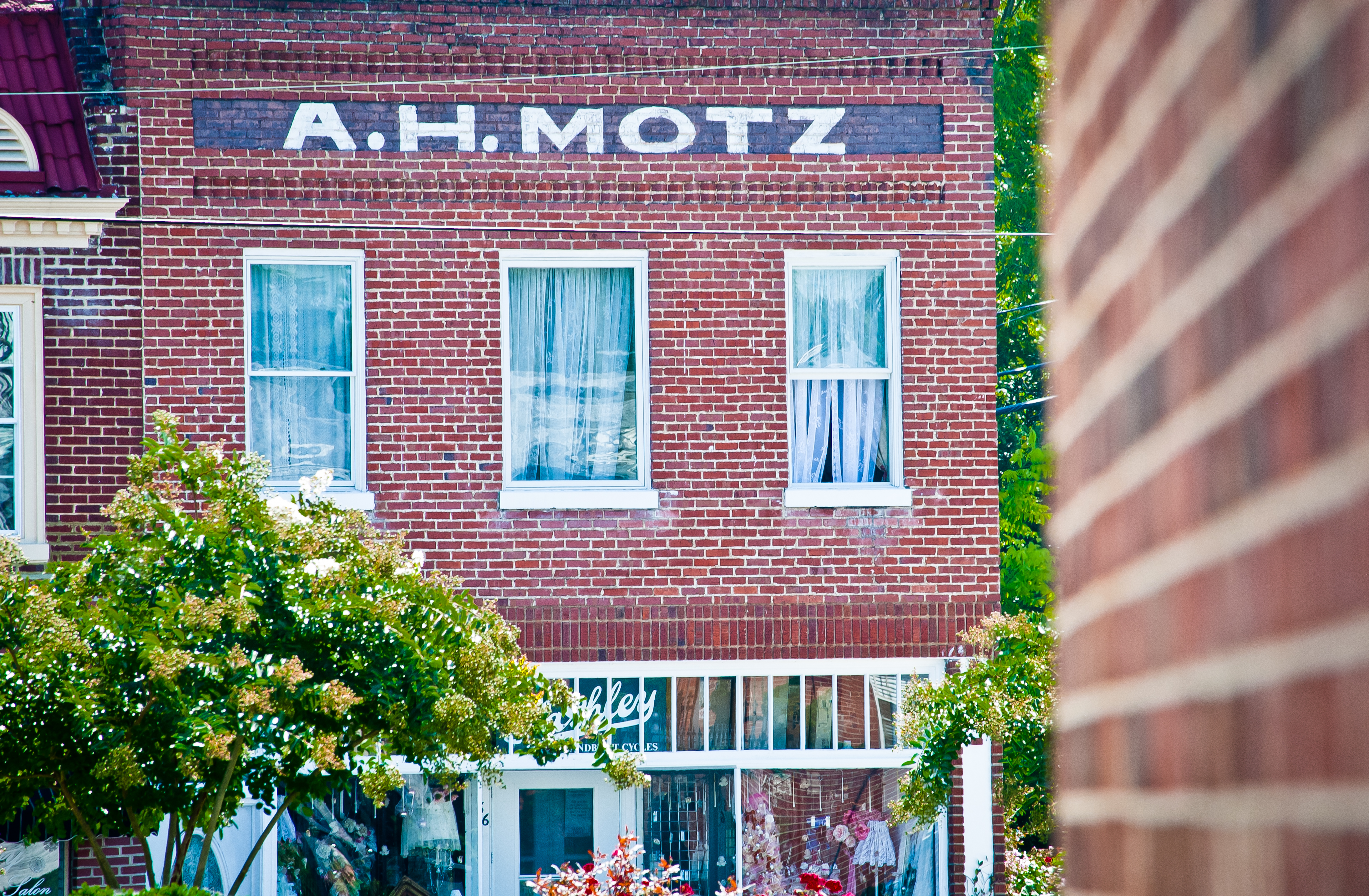
Yanceyville A. H. Motz

Starting Gate

Trailbuilding at Stoney Creek Marina

Trailbuilding at Stoney Creek Marina
Earth Day: Filter Not Required
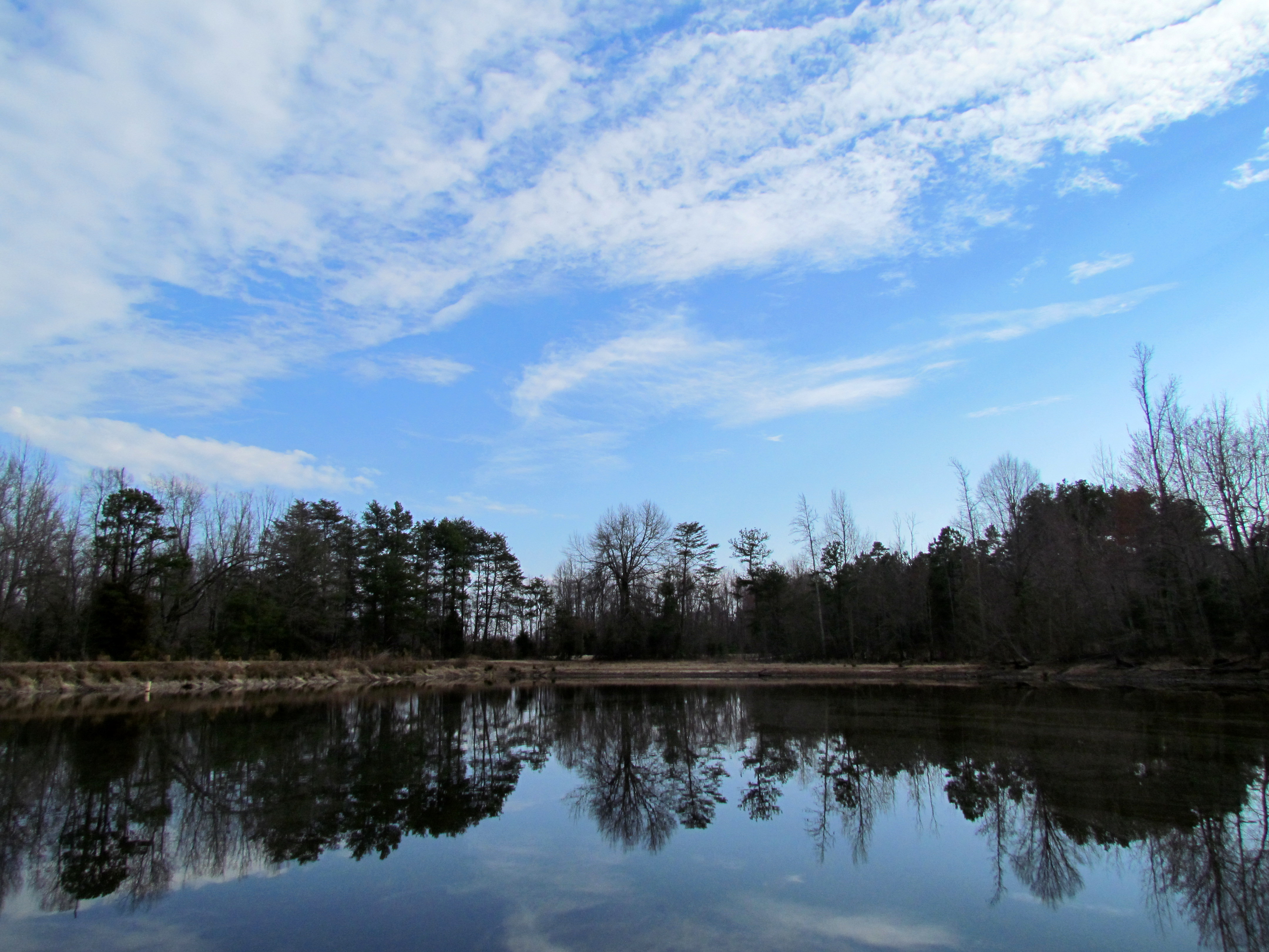
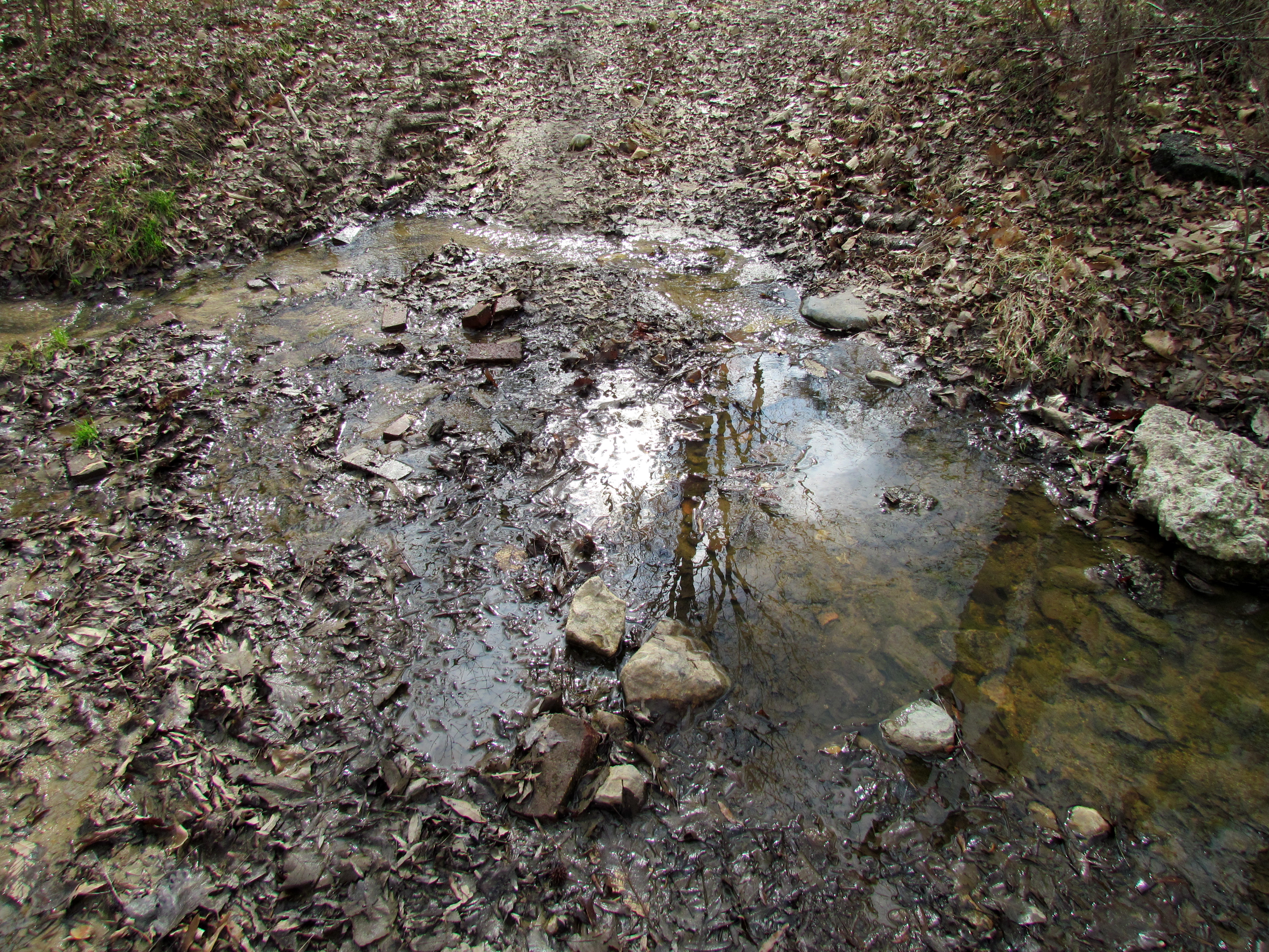
Farm, Pond source of the Eno, Winter Hike Eno River 1517

Azalea Landscaping

Farm, Pond source of the Eno, Winter Hike Eno River 1515
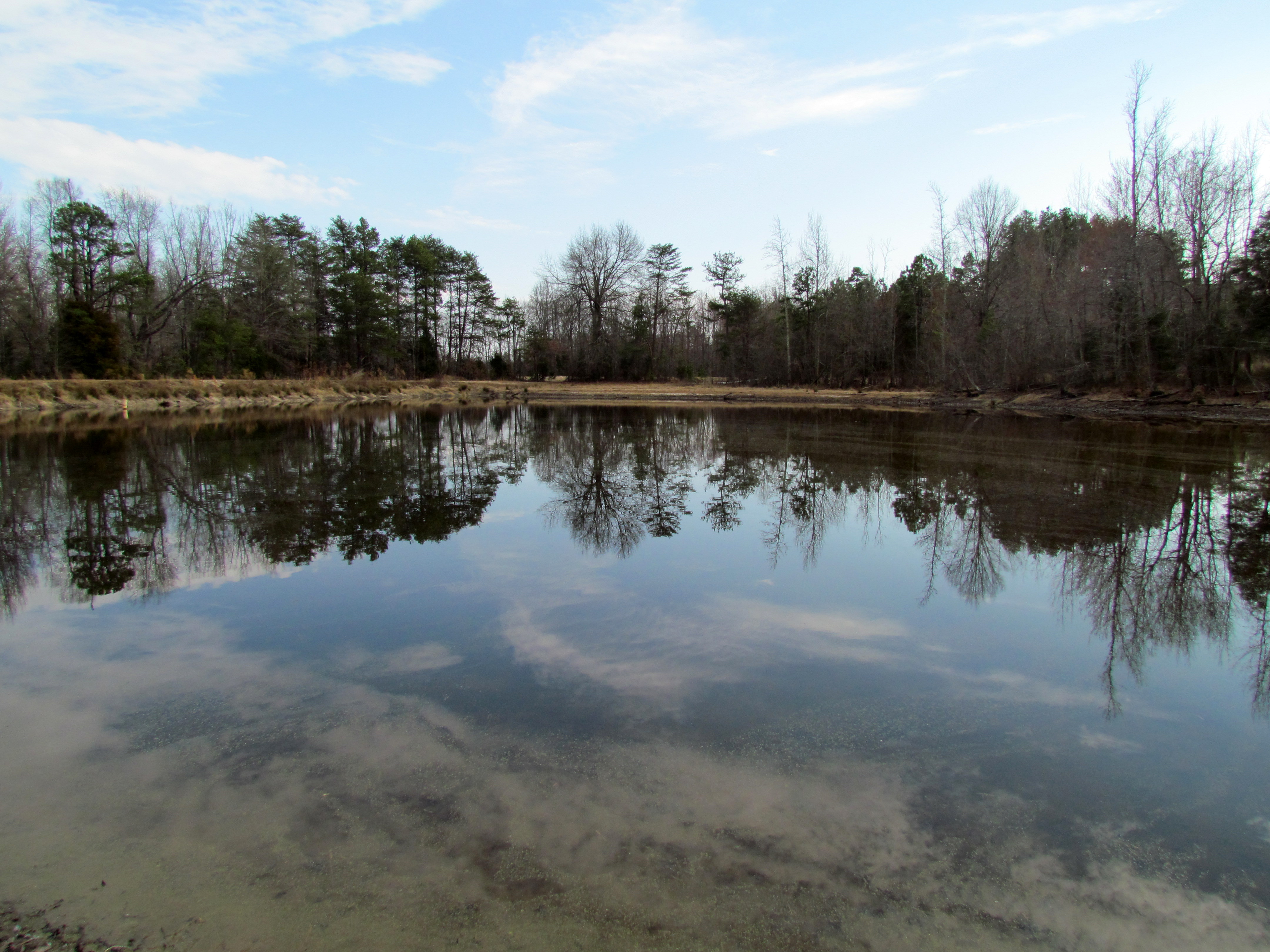
Farm, Pond source of the Eno, Winter Hike Eno River 1516

Farm 2 - Avillion Farm
Winter Hike Eno River 1500

Farm 2 - Avillion Farm
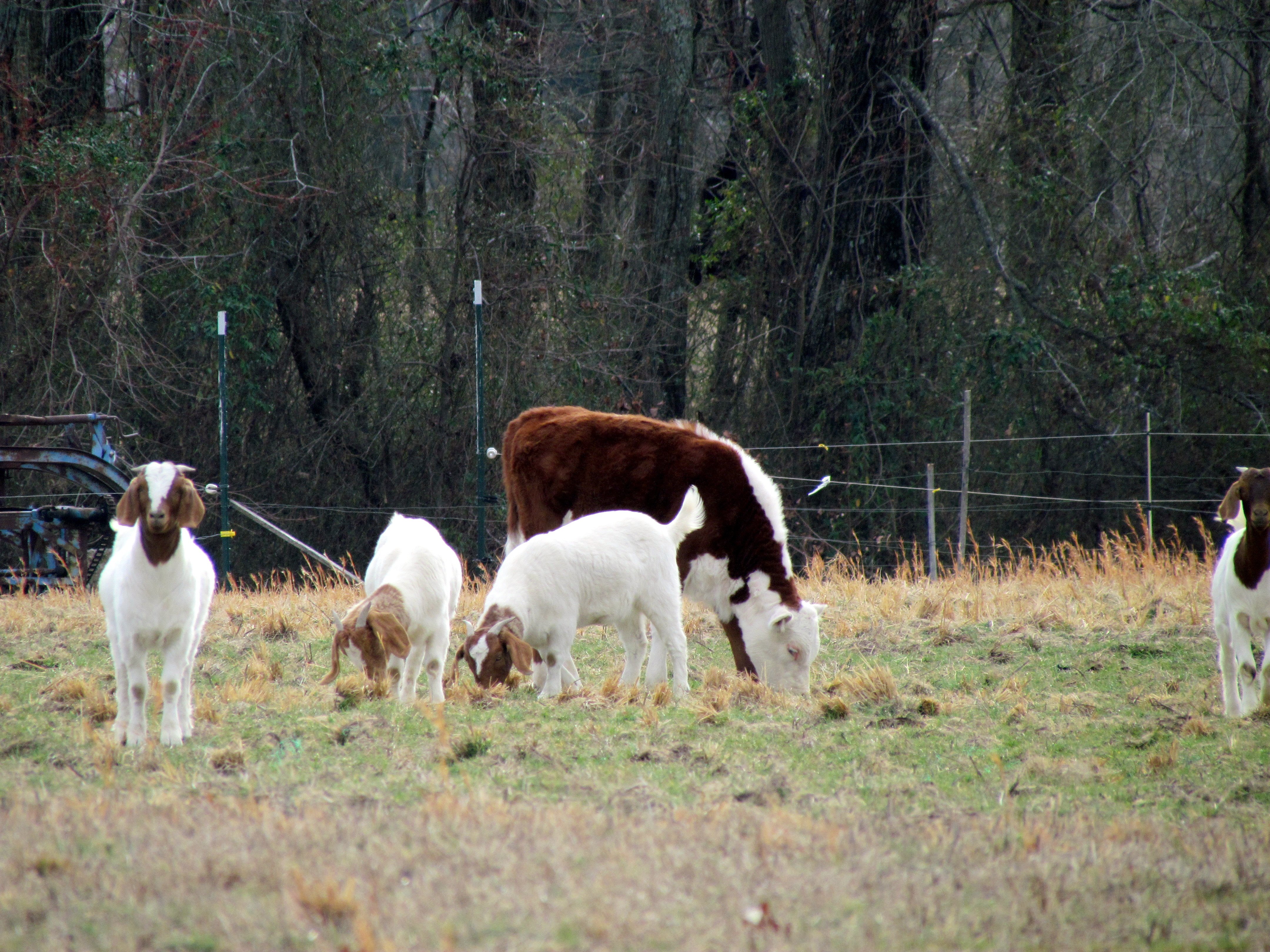
Cow and goats, Winter Hike Eno River 1512
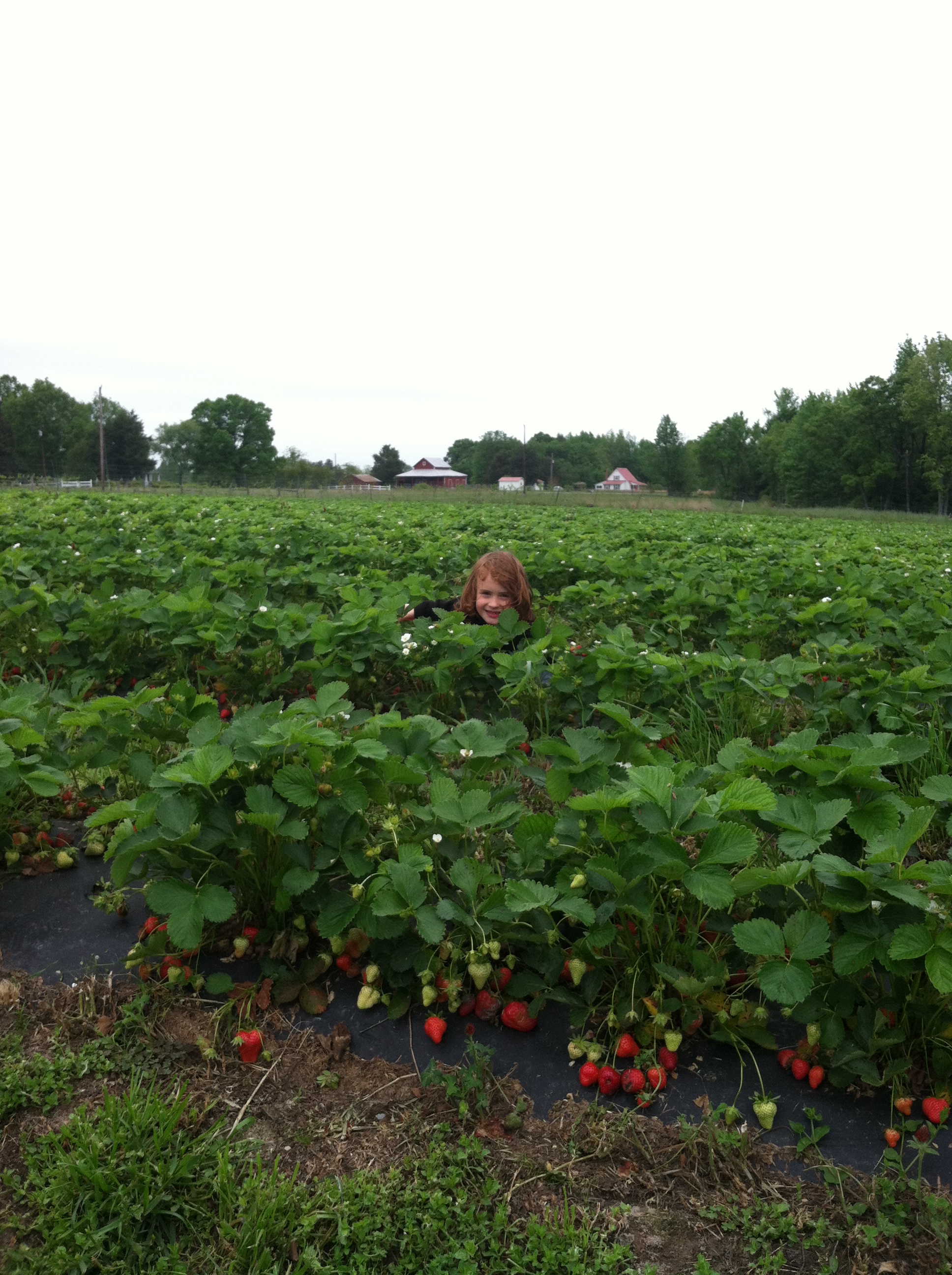
Strawberry Picking
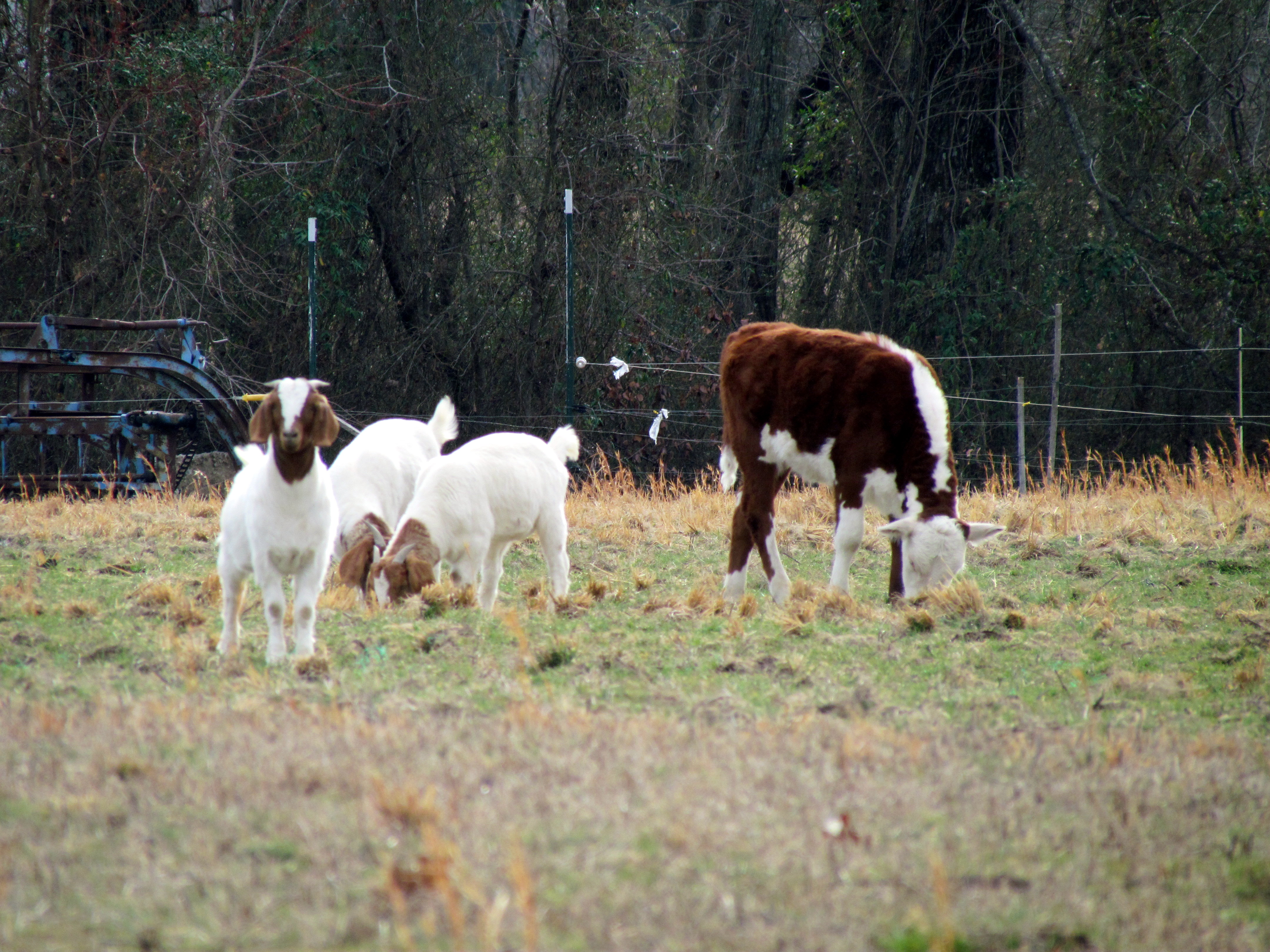
Cow and goats, Winter Hike Eno River 1514
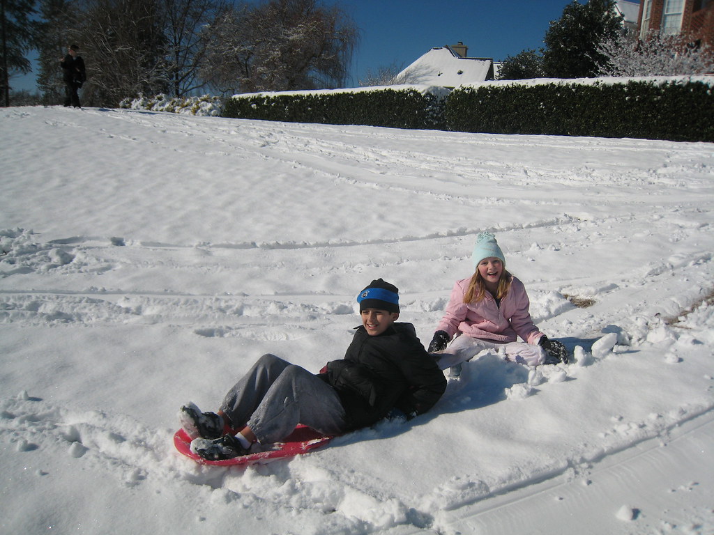
Snow Day
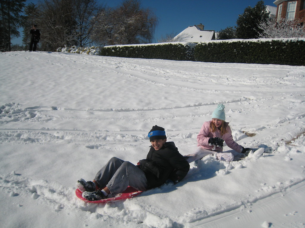
Snow Day
Topographic Map of Baynes Rd, Burlington, NC, USA
Find elevation by address:

Places near Baynes Rd, Burlington, NC, USA:
172 Gunn Ln
11, Pleasant Grove
6343 Union Ridge Rd
Hightowers
7207 Nc-49
5818 Stoney Mountain Rd
NC-49, Cedar Grove, NC, USA
Barnett Road
Cherokee Scout Reservation
4710 Nc-62
Nc Hwy 86 S, Prospect Hill, NC, USA
5, Faucette
Caswell County
3601 Cherry Grove Rd
Yanceyville, NC, USA
599 Lake Pointe Dr
Main St, Yanceyville, NC, USA
Yanceyville
1446 Hatchett Rd
Yanceyville
Recent Searches:
- Elevation of Groblershoop, South Africa
- Elevation of Power Generation Enterprises | Industrial Diesel Generators, Oak Ave, Canyon Country, CA, USA
- Elevation of Chesaw Rd, Oroville, WA, USA
- Elevation of N, Mt Pleasant, UT, USA
- Elevation of 6 Rue Jules Ferry, Beausoleil, France
- Elevation of Sattva Horizon, 4JC6+G9P, Vinayak Nagar, Kattigenahalli, Bengaluru, Karnataka, India
- Elevation of Great Brook Sports, Gold Star Hwy, Groton, CT, USA
- Elevation of 10 Mountain Laurels Dr, Nashua, NH, USA
- Elevation of 16 Gilboa Ln, Nashua, NH, USA
- Elevation of Laurel Rd, Townsend, TN, USA