Elevation of Hickory Grove, IA, USA
Location: United States > Iowa > Scott County >
Longitude: -90.734273
Latitude: 41.6586989
Elevation: 209m / 686feet
Barometric Pressure: 99KPa
Elevation Map:
Satellite Map:
Related Photos:

Table With a View
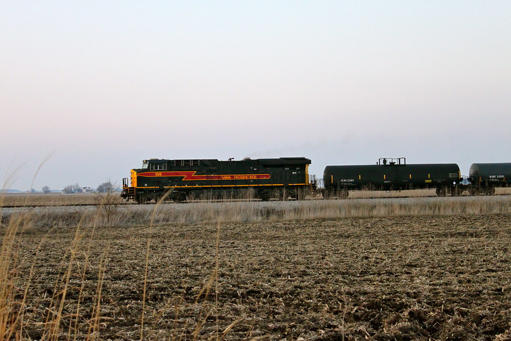
Iowa 509 West
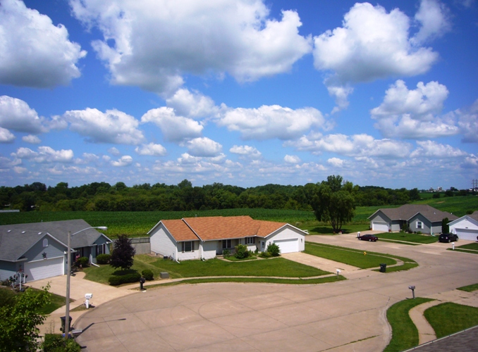
Rooftop view

I-80 east at US 61 (2010)

view from above

View off my vantage. Lovely night in Walcott.

view from the upper level

fall, fog, and foliage

I love driving through the open roads of random small towns out in Iowa.

Day 37

Iowa. #nofilter
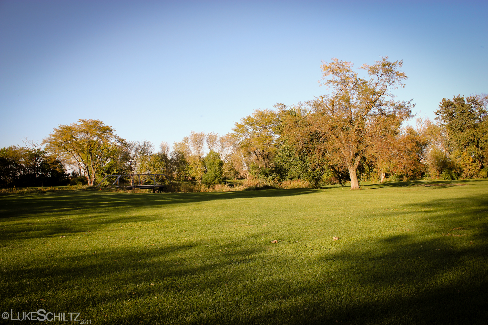
West Lake Park

Autumn Skies

family-94

Spooky Nights
family-91
Iowa Stitch 0613

2012-03-12 18.35.12 HDR

Rolling Fields

Queen Anns Lace in a field of gold

2012-03-12 18.35.09

2012-03-12 18.35.09
Prairie Rails in Iowa

2012-03-12 18.34.59

fpu_tmp_1376675593.1298_ebb64a
2012-03-12 18.34.59
West Lake Park
Topographic Map of Hickory Grove, IA, USA
Find elevation by address:

Places in Hickory Grove, IA, USA:
Places near Hickory Grove, IA, USA:
New Liberty Rd, Walcott, IA, USA
New Liberty Rd, Maysville, IA, USA
Maysville
W Walcott Rd, Walcott, IA, USA
Walcott
th St, Stockton, IA, USA
Blue Grass
Stockton
W Mayne St, Blue Grass, IA, USA
Blue Grass
Fulton
6286 Timber Ln
Buffalo
9932 123rd St
Co Hwy Y26, Durant, IA, USA
Durant
Durant High School
th St, Stockton, IA, USA
Montpelier
Farmington
Recent Searches:
- Elevation of Elwyn Dr, Roanoke Rapids, NC, USA
- Elevation of Congressional Dr, Stevensville, MD, USA
- Elevation of Bellview Rd, McLean, VA, USA
- Elevation of Stage Island Rd, Chatham, MA, USA
- Elevation of Shibuya Scramble Crossing, 21 Udagawacho, Shibuya City, Tokyo -, Japan
- Elevation of Jadagoniai, Kaunas District Municipality, Lithuania
- Elevation of Pagonija rock, Kranto 7-oji g. 8"N, Kaunas, Lithuania
- Elevation of Co Rd 87, Jamestown, CO, USA
- Elevation of Tenjo, Cundinamarca, Colombia
- Elevation of Côte-des-Neiges, Montreal, QC H4A 3J6, Canada