Elevation of Co Hwy Y26, Durant, IA, USA
Location: United States > Iowa > Cedar County > Farmington > Durant >
Longitude: -90.909982
Latitude: 41.6006879
Elevation: 218m / 715feet
Barometric Pressure: 99KPa
Elevation Map:
Satellite Map:
Related Photos:
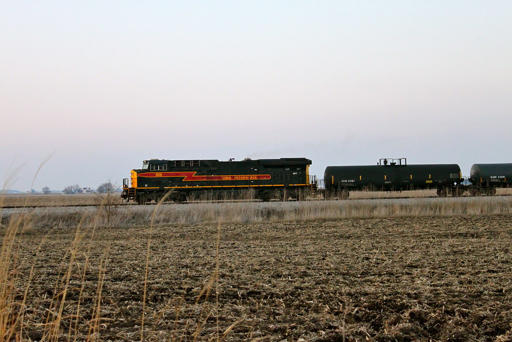
Iowa 509 West

view from above

View off my vantage. Lovely night in Walcott.

view from the upper level
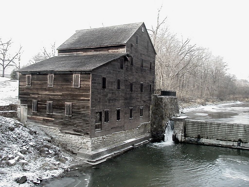
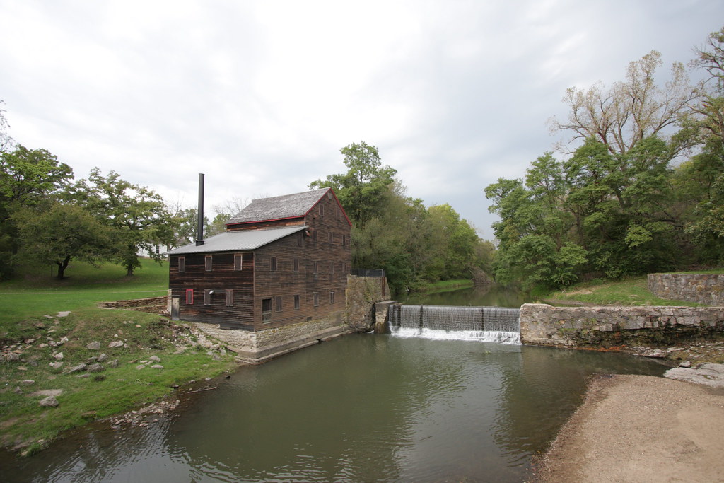
Pine Creek Mill, 1850, Muscatine, Iowa

Roadside Iowa: Purple, 110907
Roadtex pictures
Roadtex pictures

Spending Christmas Day driving across the Midwest
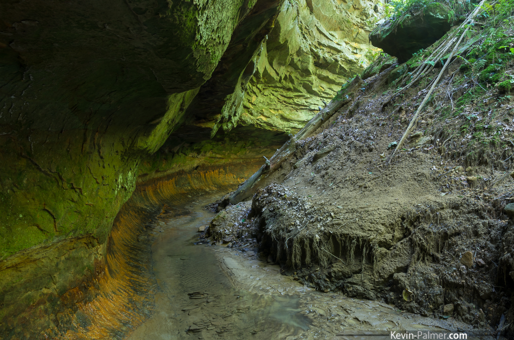
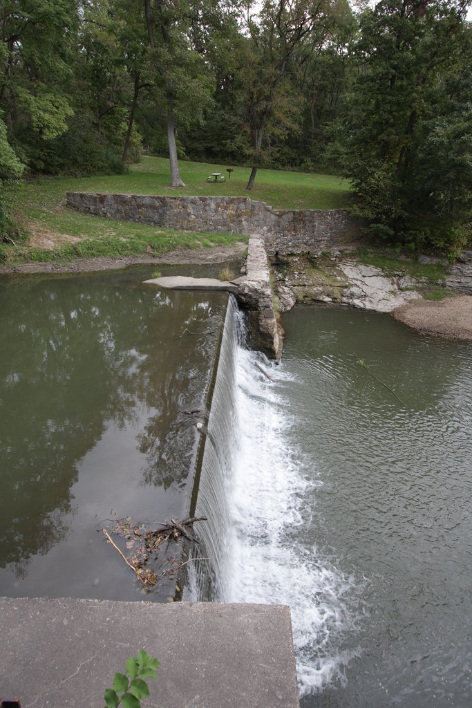
Iowa's Subway

Day 37
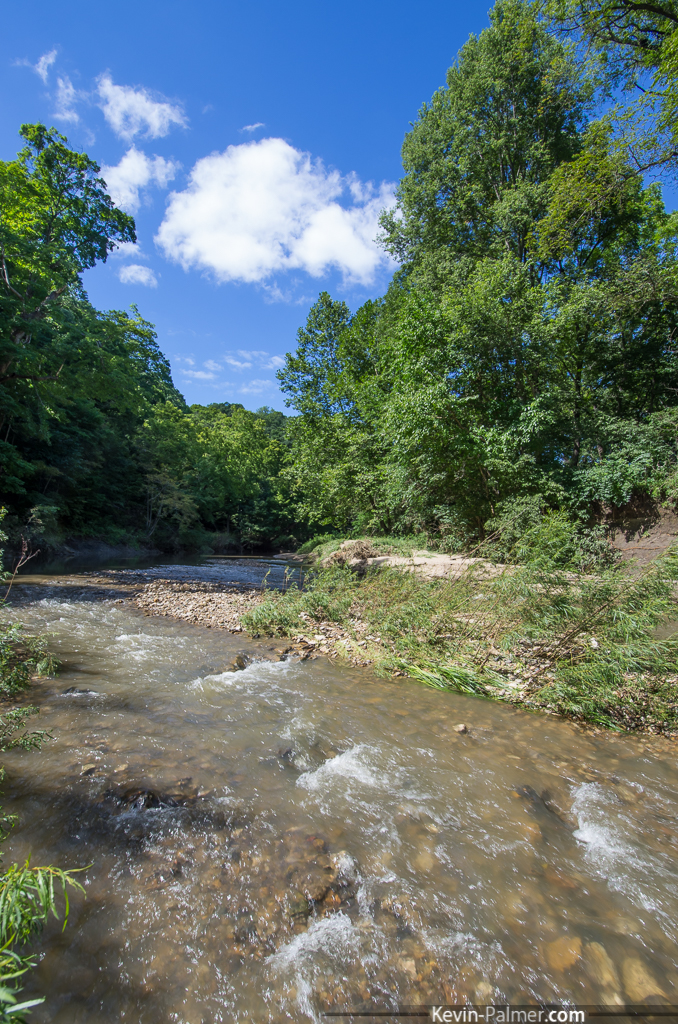
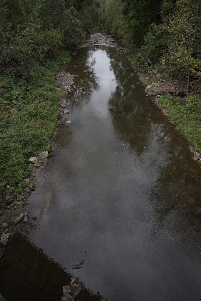
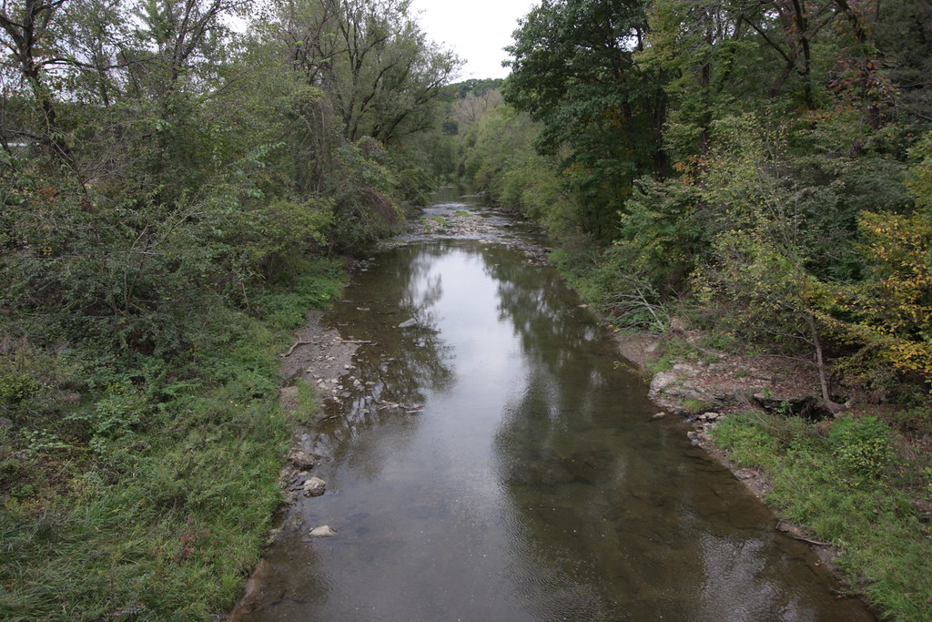
Pine Creek

family-94
family-91
IMG_12385.JPG
Iowa Stitch 0613
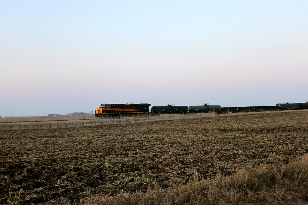
IAIS 6988 at Moscow
IMG_12384.JPG
IMG_12386.JPG

The Jerk
Prairie Rails in Iowa
IMG_12383.JPG
IMG_12417.JPG
IMG_12398.JPG
Topographic Map of Co Hwy Y26, Durant, IA, USA
Find elevation by address:

Places near Co Hwy Y26, Durant, IA, USA:
Durant
Durant High School
Stockton
Farmington
th St, Stockton, IA, USA
Fulton
Wilton
E 4th St, Wilton, IA, USA
Wilton
th St, Stockton, IA, USA
th St, Muscatine, IA, USA
W Walcott Rd, Walcott, IA, USA
Montpelier
Walcott
6286 Timber Ln
New Liberty Rd, Walcott, IA, USA
W Mayne St, Blue Grass, IA, USA
Blue Grass
Hickory Grove
Blue Grass
Recent Searches:
- Elevation of Corso Fratelli Cairoli, 35, Macerata MC, Italy
- Elevation of Tallevast Rd, Sarasota, FL, USA
- Elevation of 4th St E, Sonoma, CA, USA
- Elevation of Black Hollow Rd, Pennsdale, PA, USA
- Elevation of Oakland Ave, Williamsport, PA, USA
- Elevation of Pedrógão Grande, Portugal
- Elevation of Klee Dr, Martinsburg, WV, USA
- Elevation of Via Roma, Pieranica CR, Italy
- Elevation of Tavkvetili Mountain, Georgia
- Elevation of Hartfords Bluff Cir, Mt Pleasant, SC, USA