Elevation of Durant High School, 7th St, Durant, IA, USA
Location: United States > Iowa > Cedar County > Farmington > Durant >
Longitude: -90.912995
Latitude: 41.6040576
Elevation: 220m / 722feet
Barometric Pressure: 99KPa
Elevation Map:
Satellite Map:
Related Photos:
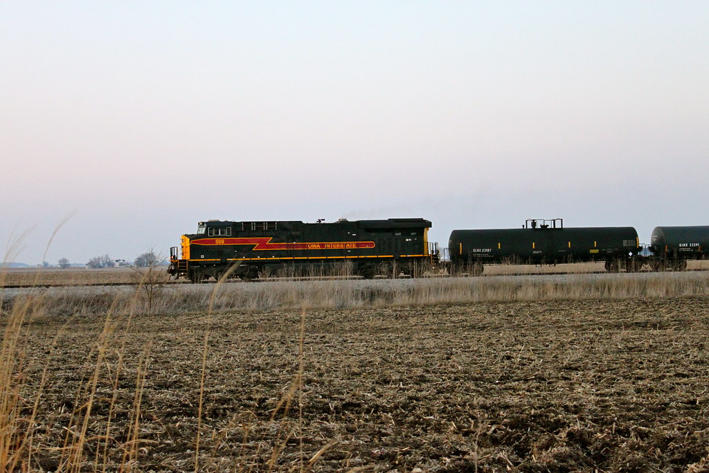
Iowa 509 West

View off my vantage. Lovely night in Walcott.

view from the upper level

Fire!
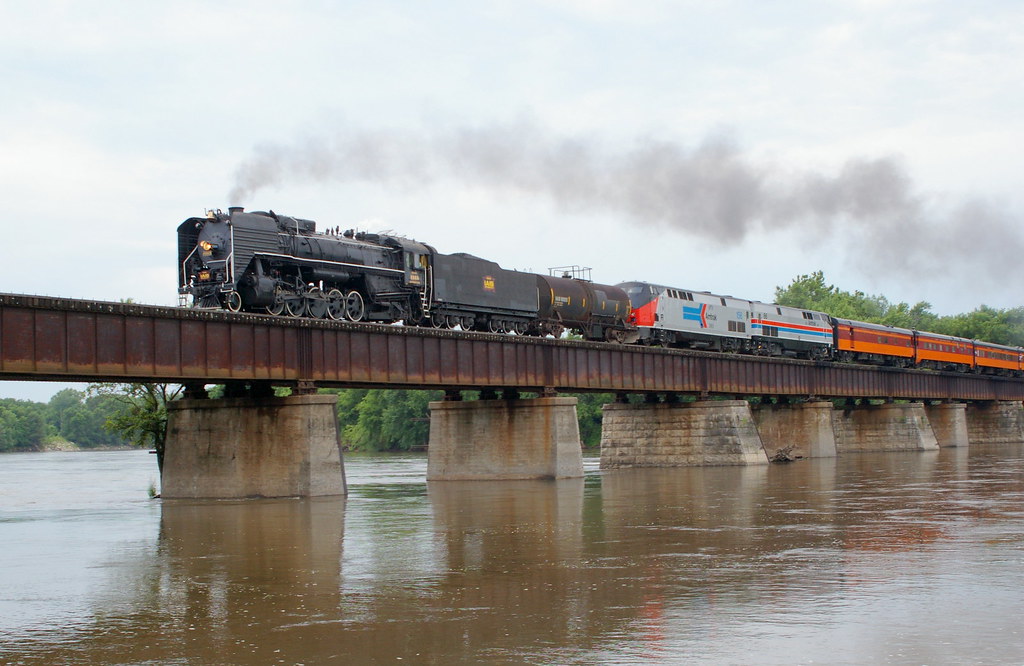
IAIS 6988 at Moscow
Don't go in there, Anthony
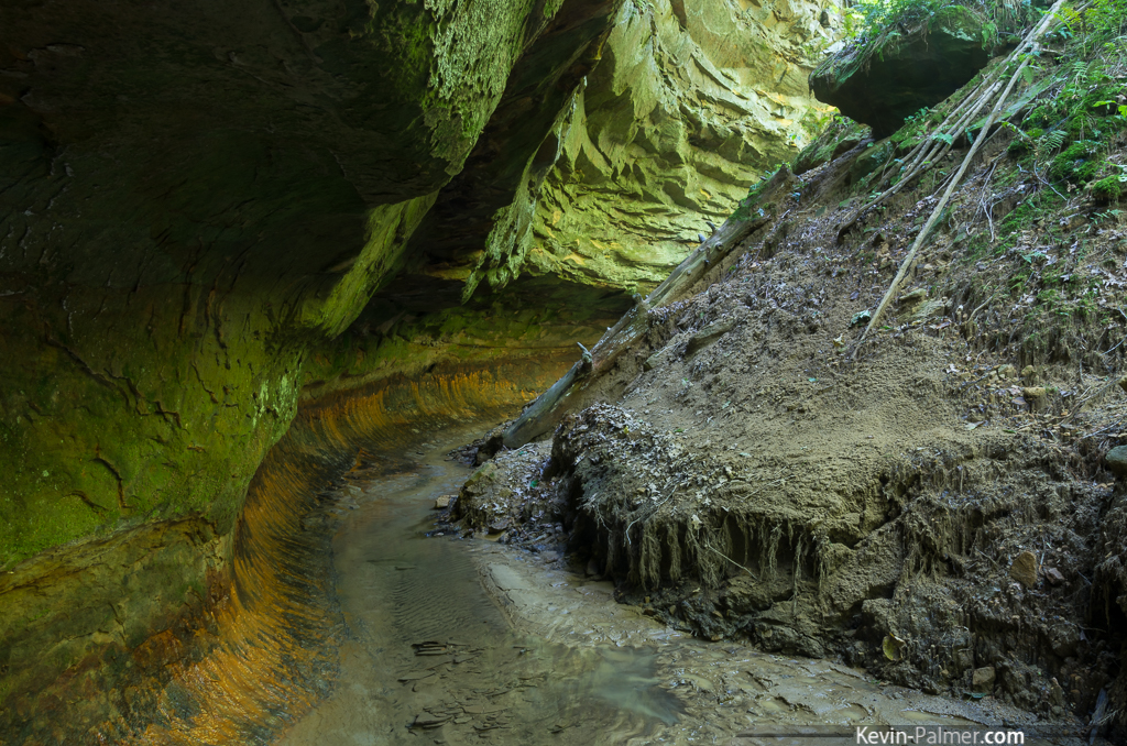
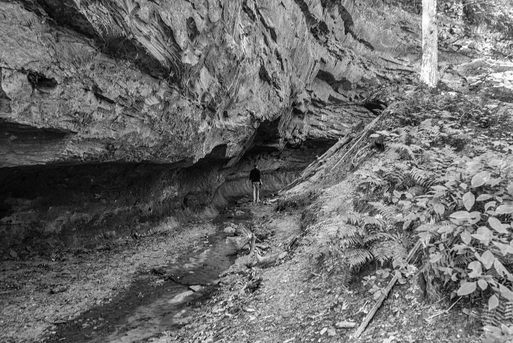
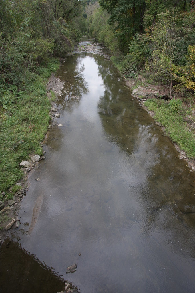
Iowa's Subway

family-94
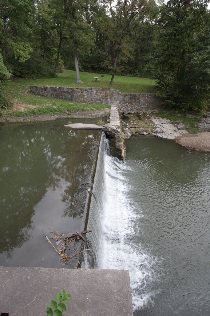
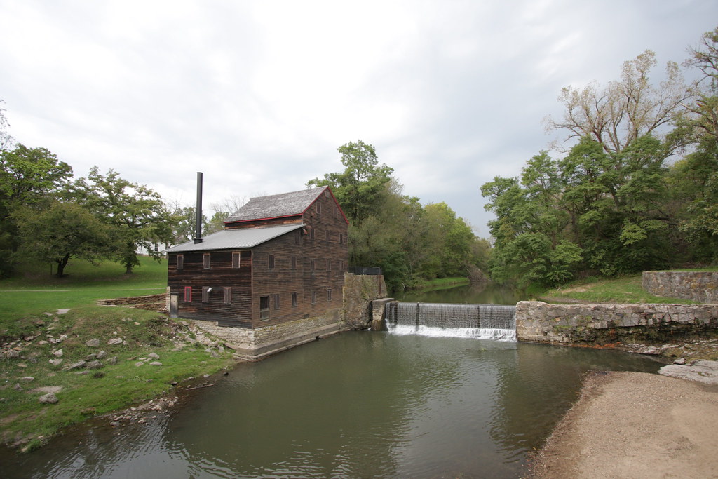
Pine Creek Mill, 1850, Muscatine, Iowa
IMG_12385.JPG
IMG_12384.JPG
Iowa Stitch 0613

IAIS Train BICB

The Jerk
IMG_12386.JPG
IMG_12398.JPG
IMG_12383.JPG

Whatcha looking at?

Roadside Iowa: Purple, 110907
IMG_12417.JPG

iais 6988moscow
Iowa landscape

Herd of cows
Topographic Map of Durant High School, 7th St, Durant, IA, USA
Find elevation by address:

Places near Durant High School, 7th St, Durant, IA, USA:
Co Hwy Y26, Durant, IA, USA
Durant
Stockton
Farmington
th St, Stockton, IA, USA
Fulton
Wilton
E 4th St, Wilton, IA, USA
Wilton
th St, Muscatine, IA, USA
th St, Stockton, IA, USA
W Walcott Rd, Walcott, IA, USA
Montpelier
Walcott
New Liberty Rd, Walcott, IA, USA
6286 Timber Ln
W Mayne St, Blue Grass, IA, USA
Blue Grass
Hickory Grove
Blue Grass
Recent Searches:
- Elevation of Congressional Dr, Stevensville, MD, USA
- Elevation of Bellview Rd, McLean, VA, USA
- Elevation of Stage Island Rd, Chatham, MA, USA
- Elevation of Shibuya Scramble Crossing, 21 Udagawacho, Shibuya City, Tokyo -, Japan
- Elevation of Jadagoniai, Kaunas District Municipality, Lithuania
- Elevation of Pagonija rock, Kranto 7-oji g. 8"N, Kaunas, Lithuania
- Elevation of Co Rd 87, Jamestown, CO, USA
- Elevation of Tenjo, Cundinamarca, Colombia
- Elevation of Côte-des-Neiges, Montreal, QC H4A 3J6, Canada
- Elevation of Bobcat Dr, Helena, MT, USA