Elevation of Farmington, IA, USA
Location: United States > Iowa > Cedar County >
Longitude: -90.962952
Latitude: 41.6570168
Elevation: 228m / 748feet
Barometric Pressure: 99KPa
Elevation Map:
Satellite Map:
Related Photos:

View off my vantage. Lovely night in Walcott.
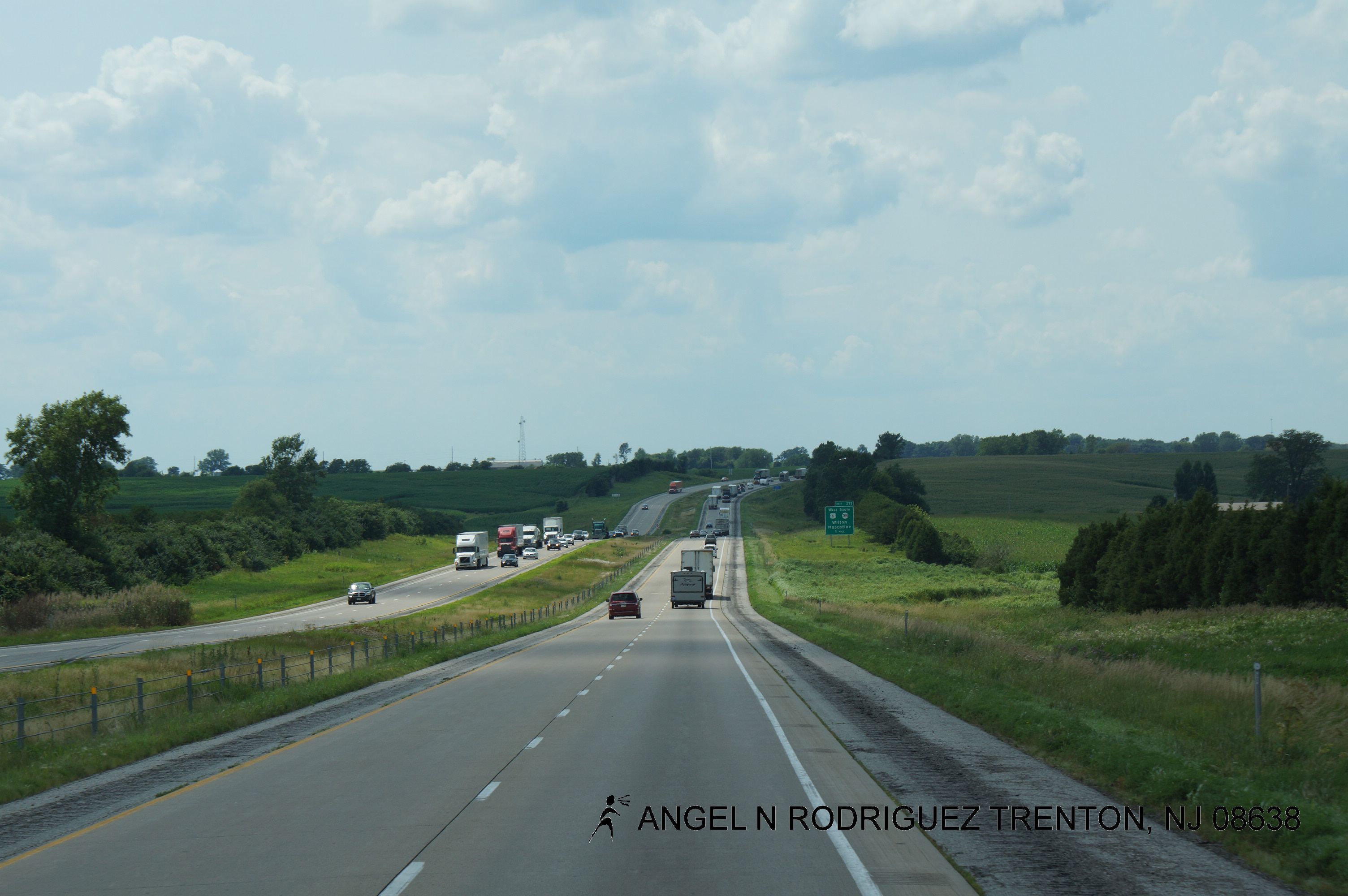
Spending Christmas Day driving across the Midwest
Iowa Stitch 0613
IAIS 6988 at Moscow

The Jerk

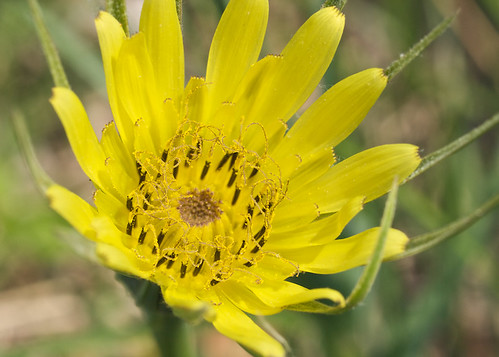
Roadside Iowa: Purple, 110907

iais 6988moscow
IAIS CBBI 27

Whatcha looking at?
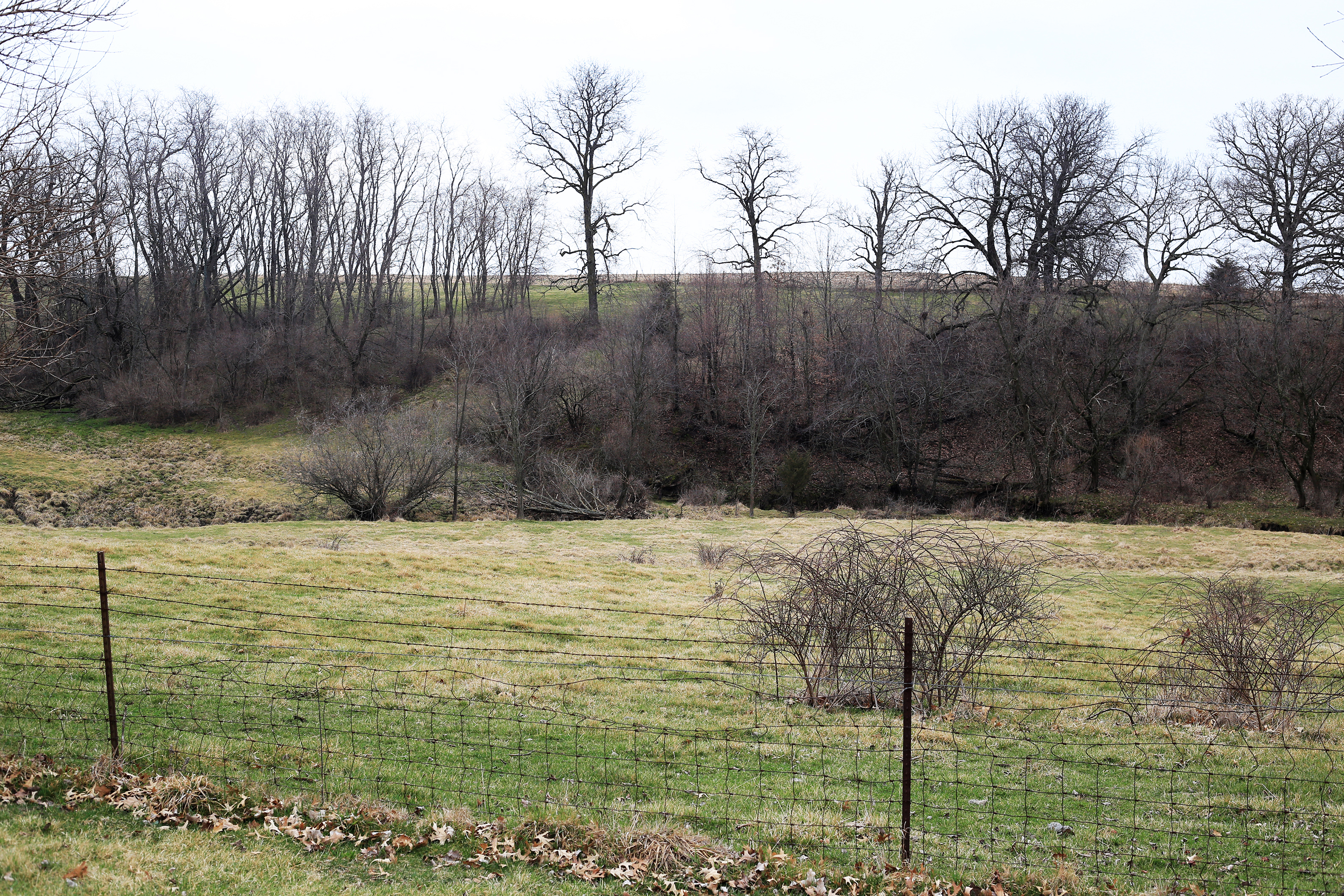
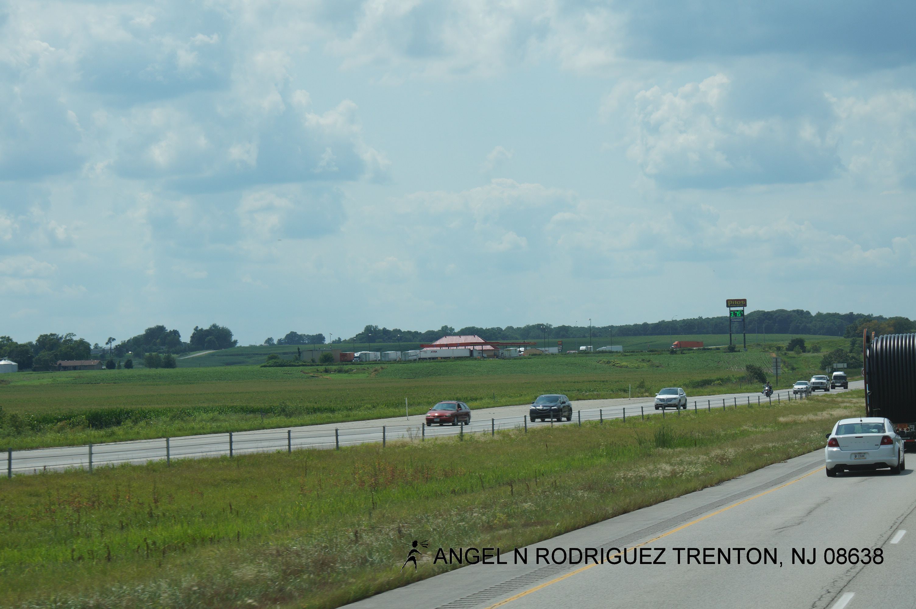
Iowa landscape

Herd of cows

Iowa pastoral
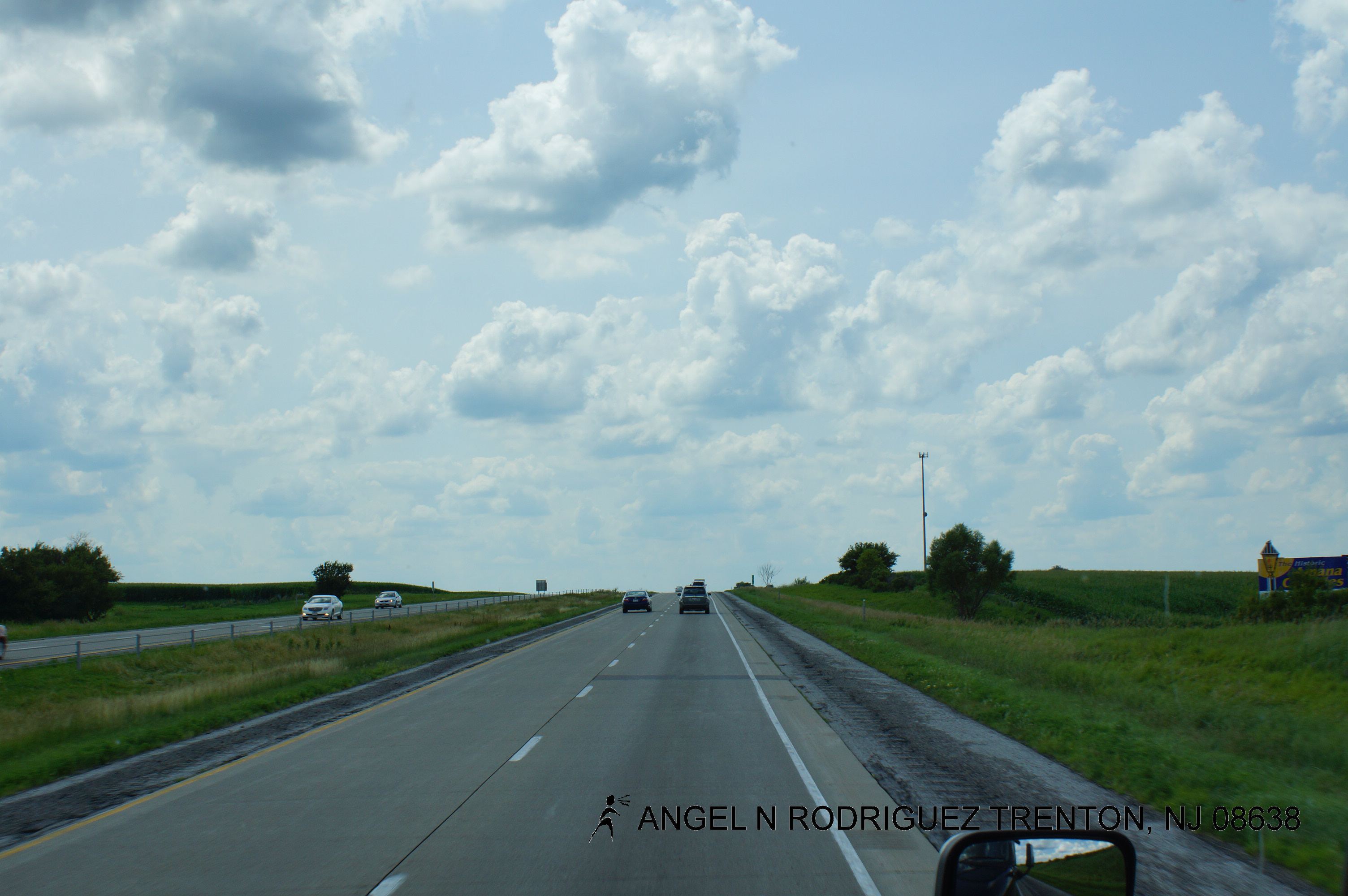
Roadtex pictures
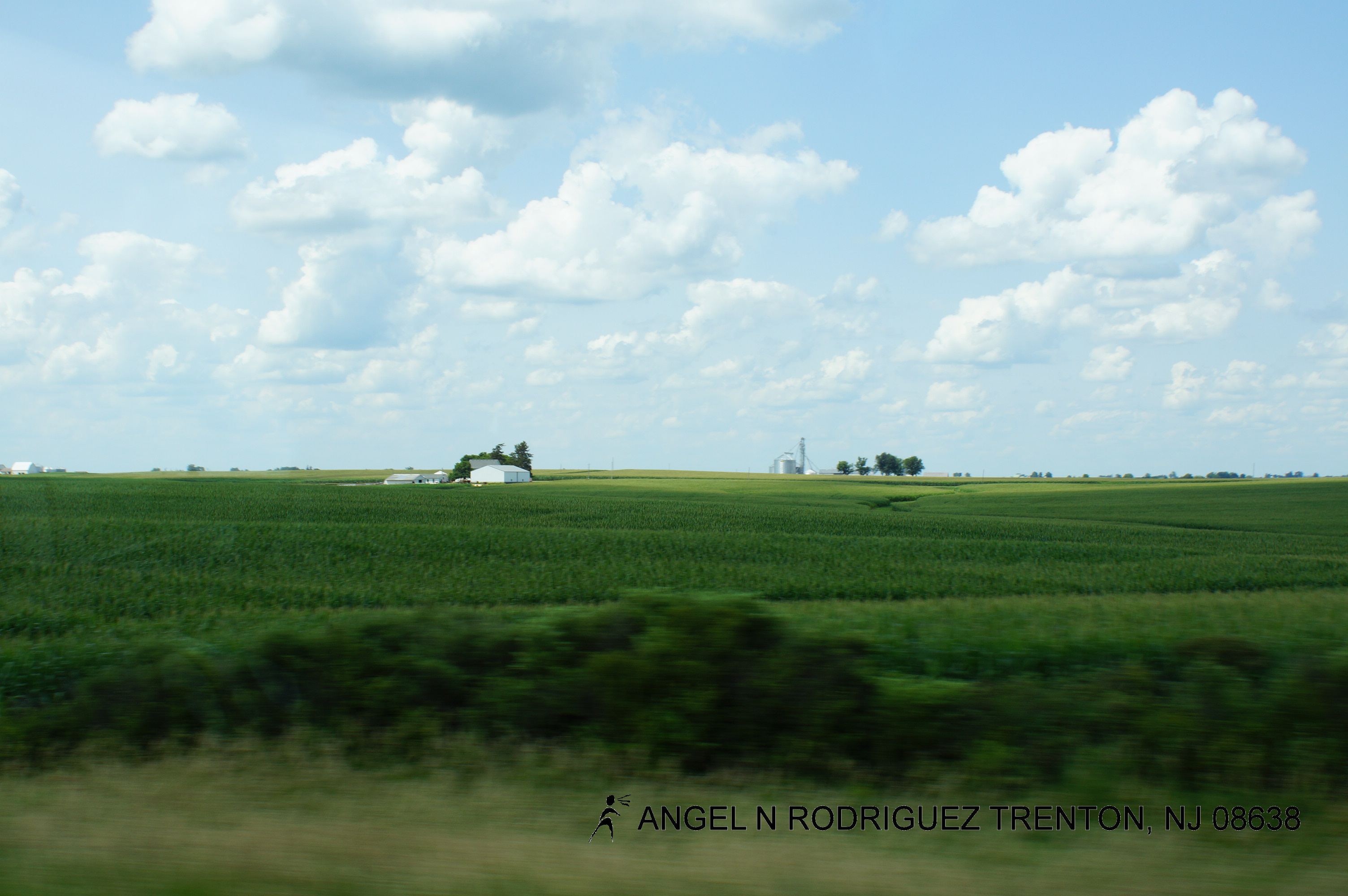
Roadtex pictures
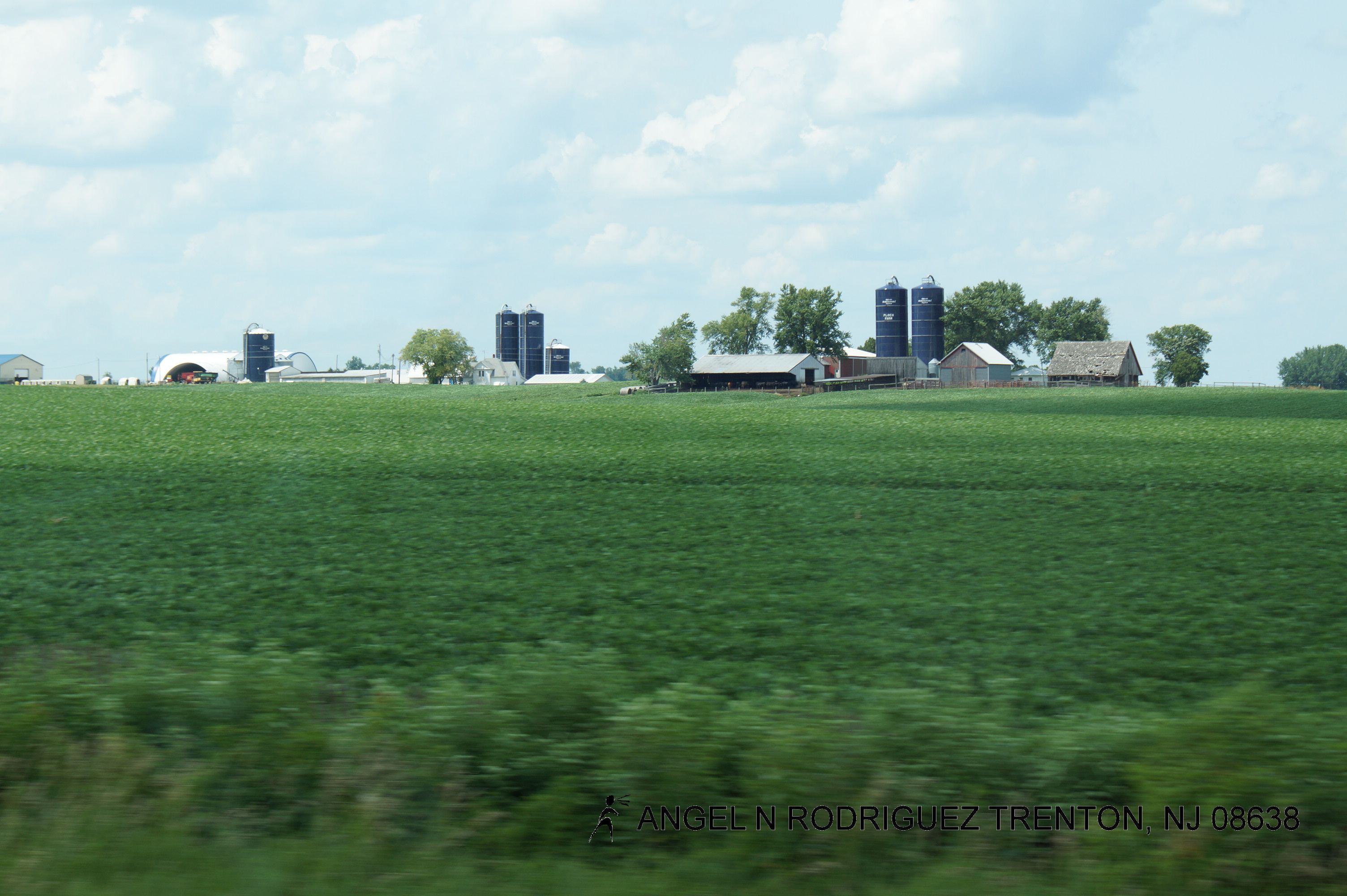
Roadtex pictures
Roadtex pictures
All wired up
Roadtex pictures
Roadtex pictures

Roadtex pictures
Roadtex pictures
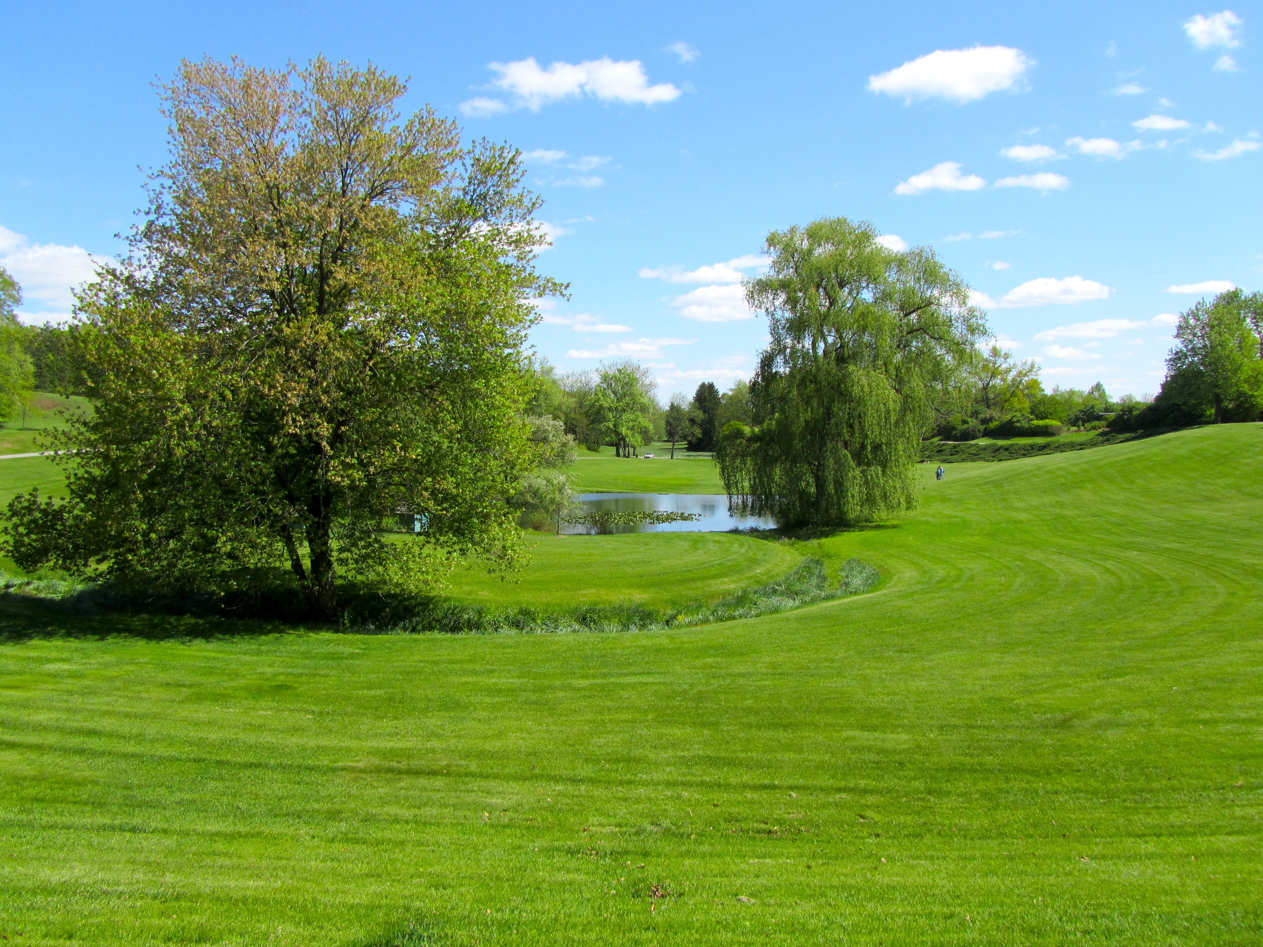
Hidden Gardens
Topographic Map of Farmington, IA, USA
Find elevation by address:

Places in Farmington, IA, USA:
Places near Farmington, IA, USA:
Durant High School
Co Hwy Y26, Durant, IA, USA
Durant
E 4th St, Wilton, IA, USA
Wilton
Wilton
Stockton
th St, Stockton, IA, USA
th St, Muscatine, IA, USA
Fulton
W Walcott Rd, Walcott, IA, USA
th St, Stockton, IA, USA
Walcott
Montpelier
New Liberty Rd, Walcott, IA, USA
Hickory Grove
6286 Timber Ln
New Liberty Rd, Maysville, IA, USA
Maysville
W Mayne St, Blue Grass, IA, USA
Recent Searches:
- Elevation of Corso Fratelli Cairoli, 35, Macerata MC, Italy
- Elevation of Tallevast Rd, Sarasota, FL, USA
- Elevation of 4th St E, Sonoma, CA, USA
- Elevation of Black Hollow Rd, Pennsdale, PA, USA
- Elevation of Oakland Ave, Williamsport, PA, USA
- Elevation of Pedrógão Grande, Portugal
- Elevation of Klee Dr, Martinsburg, WV, USA
- Elevation of Via Roma, Pieranica CR, Italy
- Elevation of Tavkvetili Mountain, Georgia
- Elevation of Hartfords Bluff Cir, Mt Pleasant, SC, USA