Elevation of Henleyville, CA, USA
Location: United States > California > Tehama County > Corning >
Longitude: -122.32666
Latitude: 39.9618224
Elevation: 131m / 430feet
Barometric Pressure: 100KPa
Elevation Map:
Satellite Map:
Related Photos:
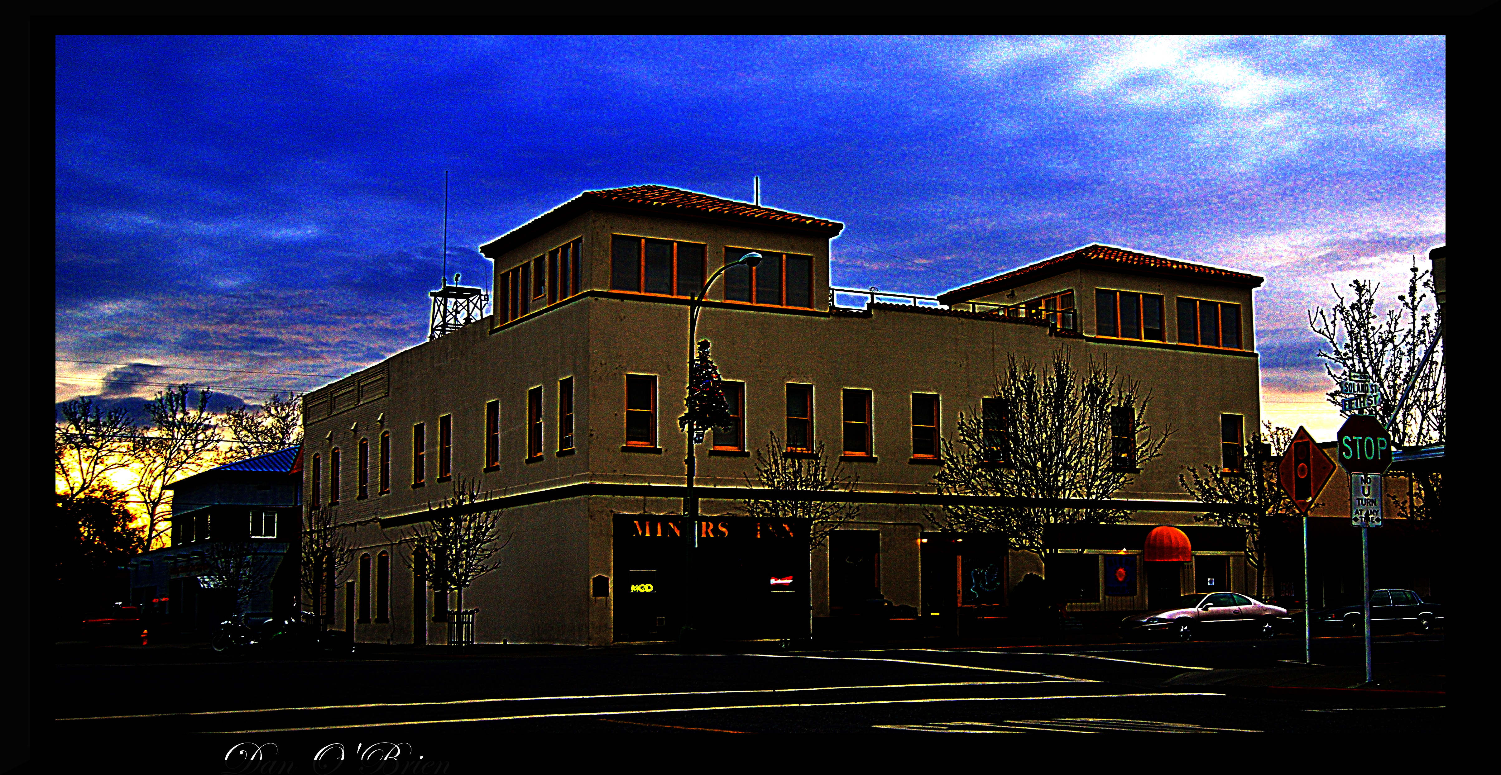
Corning CA.

Corning CA.

Corning CA.

Corning CA.
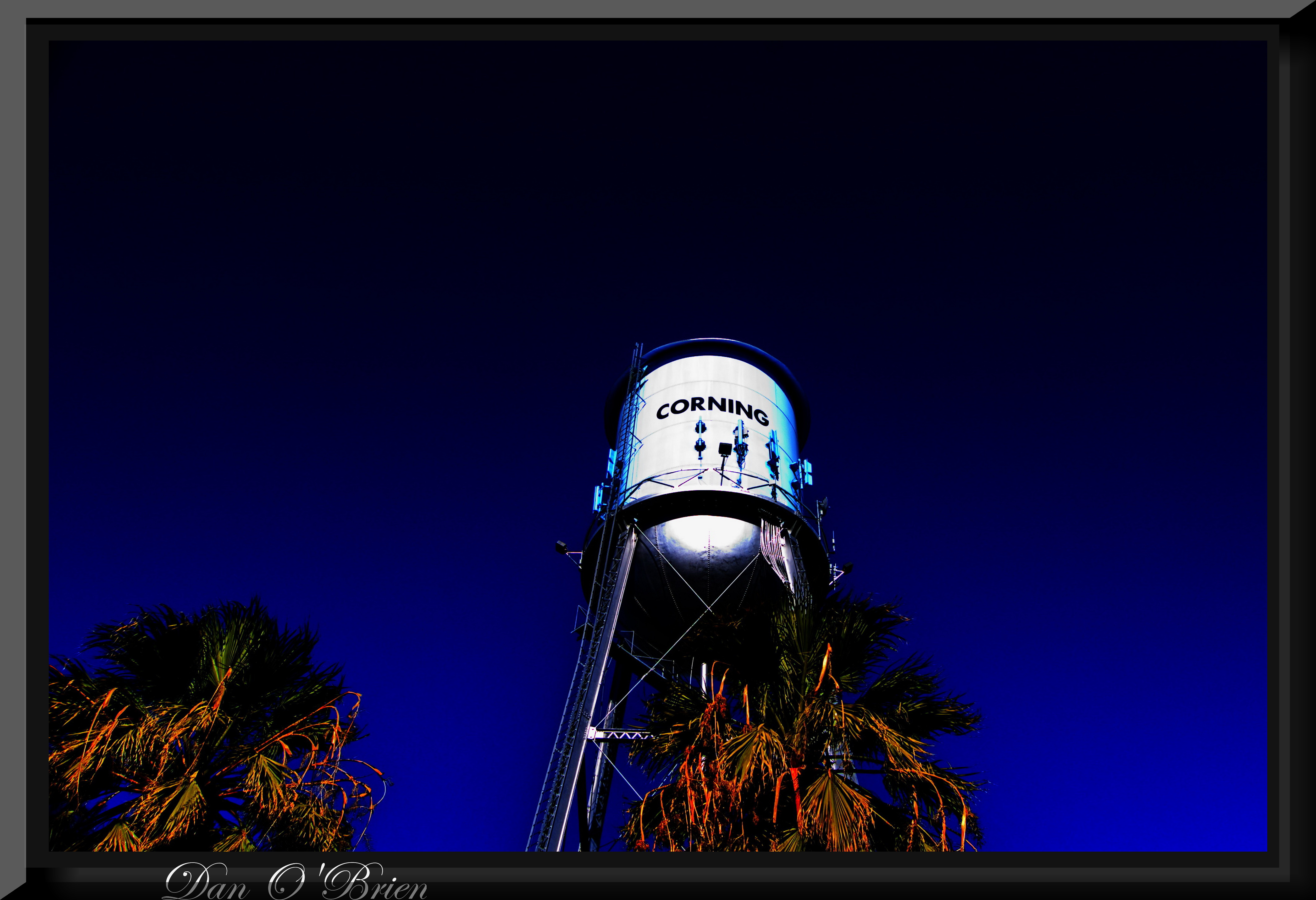
Corning CA.
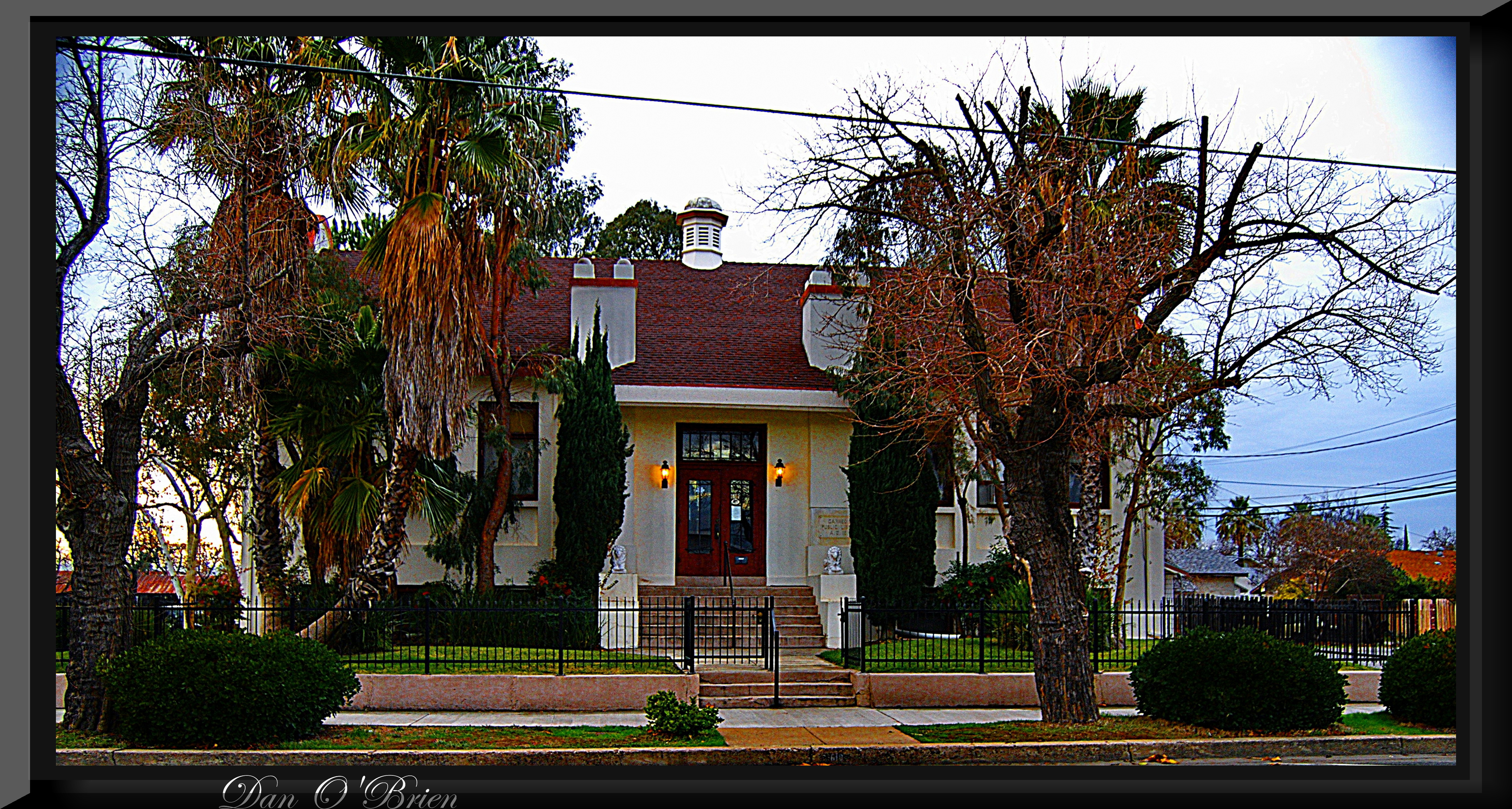
Corning CA.

Orchard, Tehama, California

I hate to burst your bubble, but...

Green Hills of Spring
Nowhere to hide.

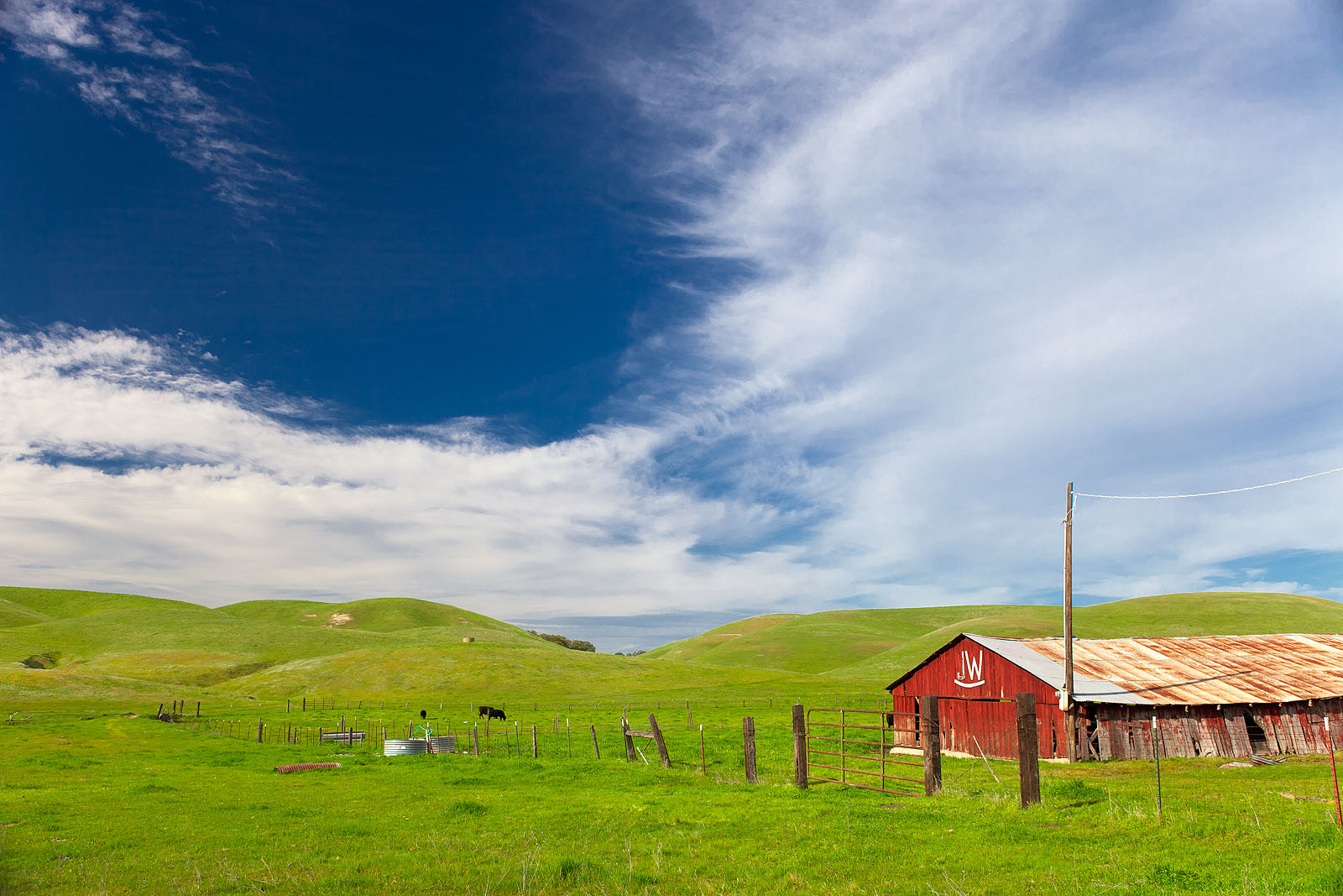
JW Ranch

Green Hills of Spring
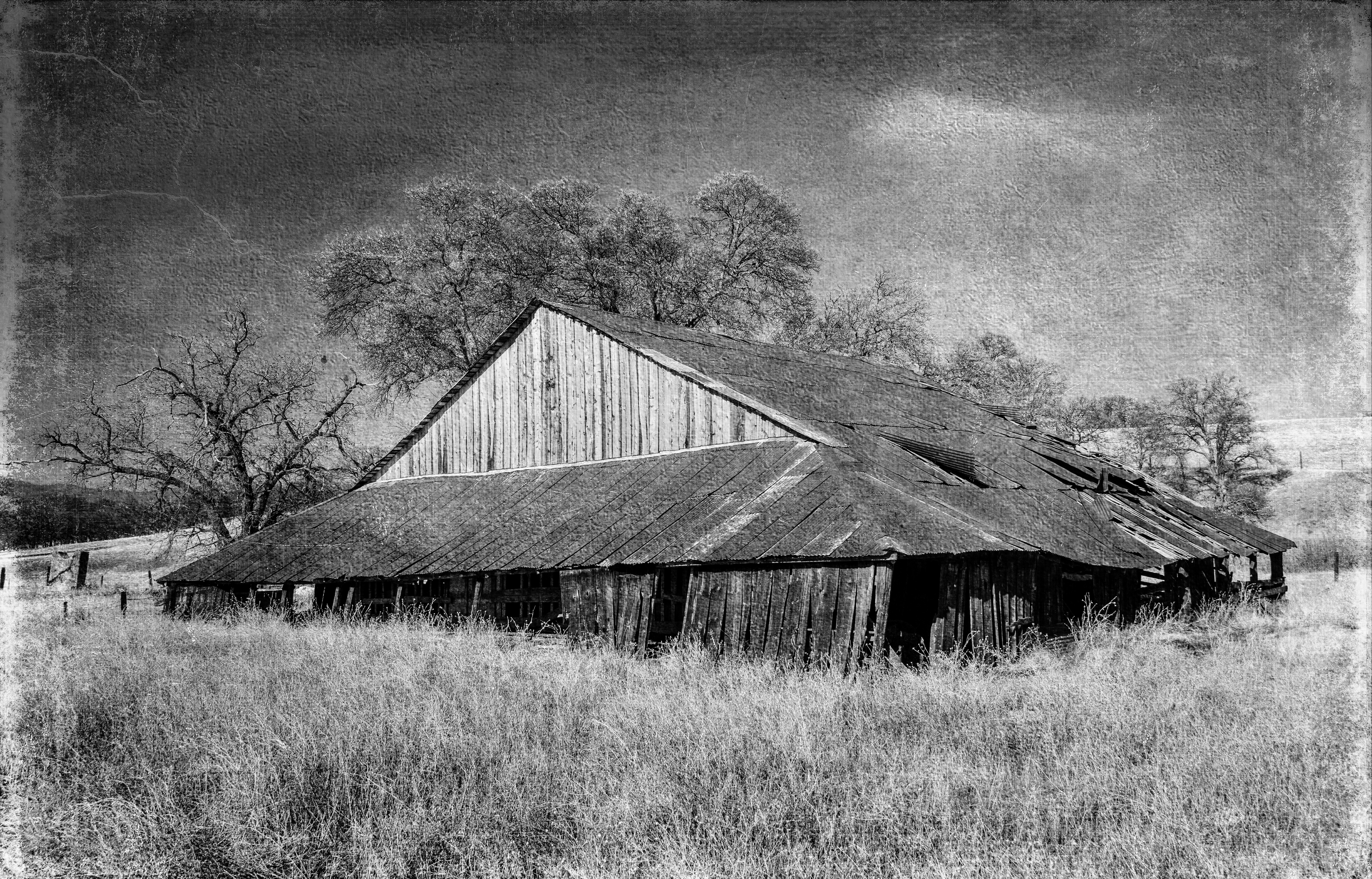
Barn near Paskenta

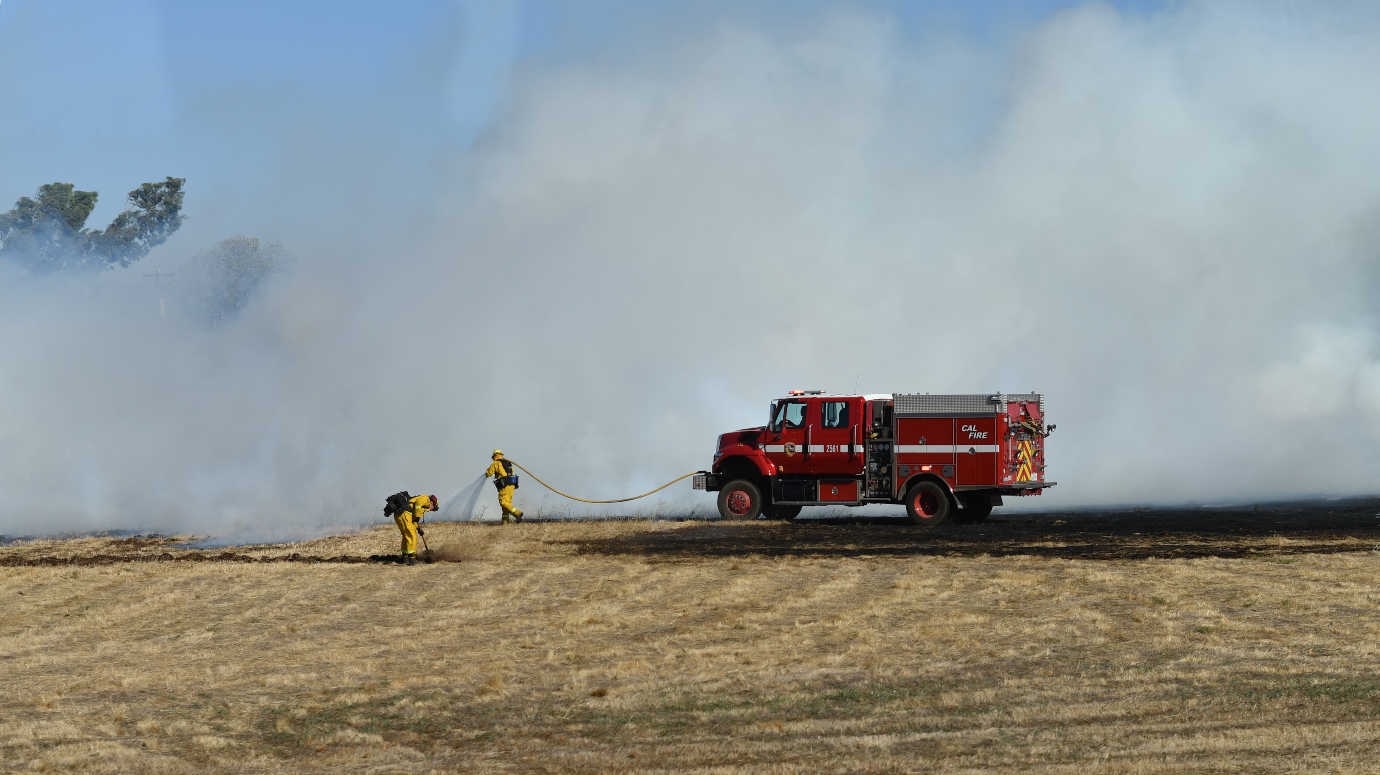
Farm-Sanctuary
10.8

Farm-Sanctuary

California Poppies

California Poppies

Farm-Sanctuary

Farm-Sanctuary
Topographic Map of Henleyville, CA, USA
Find elevation by address:

Places near Henleyville, CA, USA:
33370 Simpson Rd
5130 Orland Ave
1901 Mckinley Ave
Thomes Creek Rock Co
4450 Corning Rd
4455 Corning Rd
7233 Amador Rd
Corning
Solano St, Corning, CA, USA
Richfield
El Camino
State Hwy 99w, Gerber, CA, USA
4455 Mary Ave
4450 Mary Ave
Hoag Road
1st St, Gerber, CA, USA
Gerber
Ventura Ave, Gerber, CA, USA
Gerber-las Flores
24595 Dale Rd
Recent Searches:
- Elevation of Groblershoop, South Africa
- Elevation of Power Generation Enterprises | Industrial Diesel Generators, Oak Ave, Canyon Country, CA, USA
- Elevation of Chesaw Rd, Oroville, WA, USA
- Elevation of N, Mt Pleasant, UT, USA
- Elevation of 6 Rue Jules Ferry, Beausoleil, France
- Elevation of Sattva Horizon, 4JC6+G9P, Vinayak Nagar, Kattigenahalli, Bengaluru, Karnataka, India
- Elevation of Great Brook Sports, Gold Star Hwy, Groton, CT, USA
- Elevation of 10 Mountain Laurels Dr, Nashua, NH, USA
- Elevation of 16 Gilboa Ln, Nashua, NH, USA
- Elevation of Laurel Rd, Townsend, TN, USA