Elevation of Dale Rd, Corning, CA, USA
Location: United States > California > Tehama County > Corning >
Longitude: -122.11849
Latitude: 39.9286391
Elevation: 69m / 226feet
Barometric Pressure: 100KPa
Elevation Map:
Satellite Map:
Related Photos:
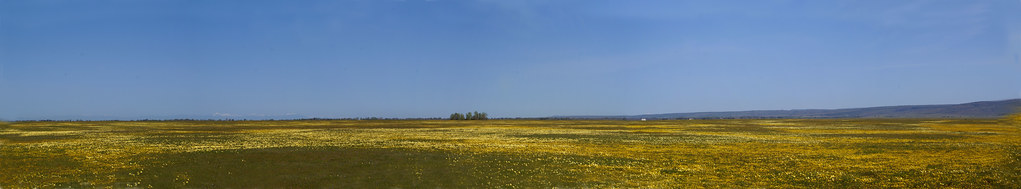
California Wildflowers Panoramas
O'B12
O'B10
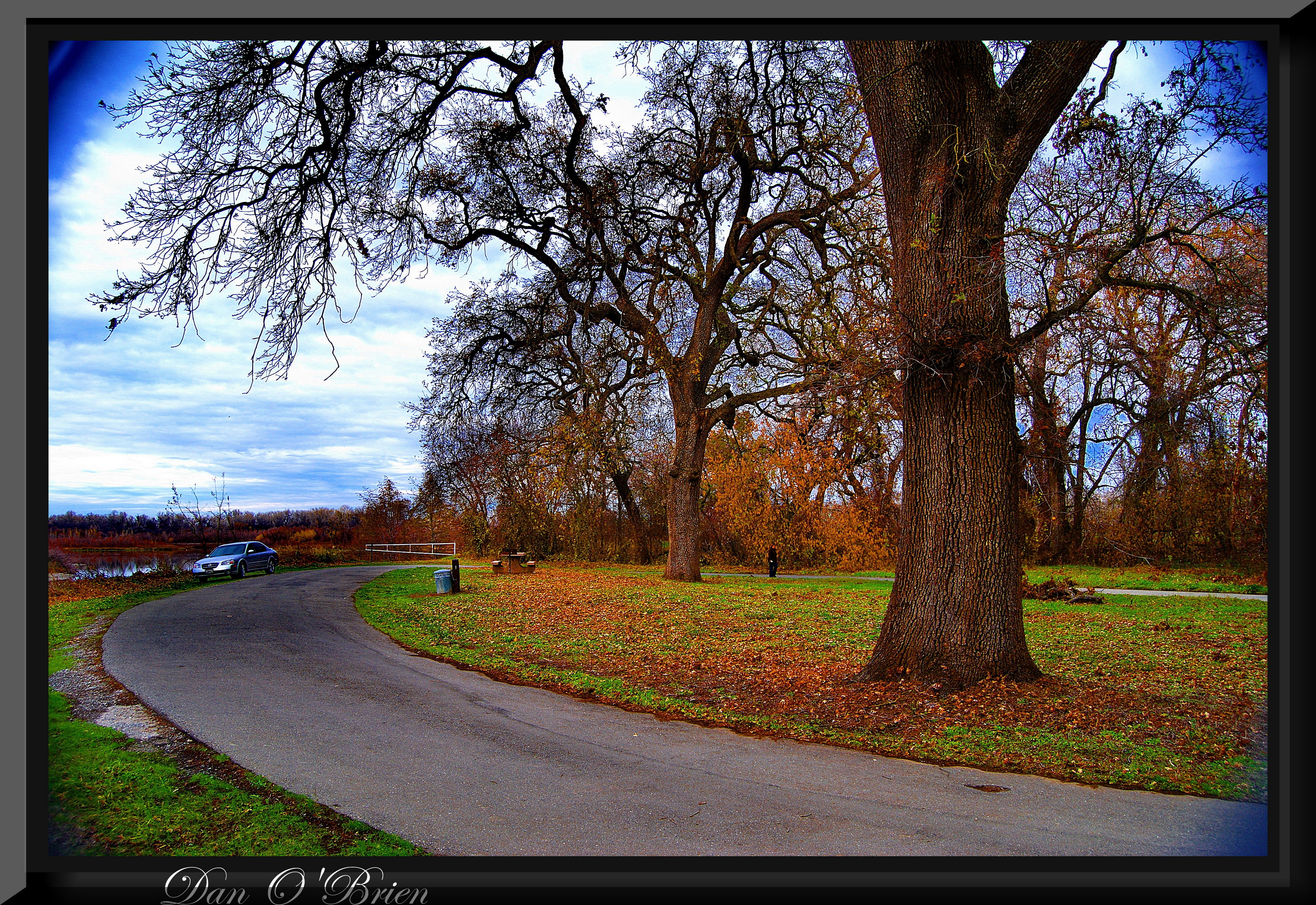
Sacramento River park (3)
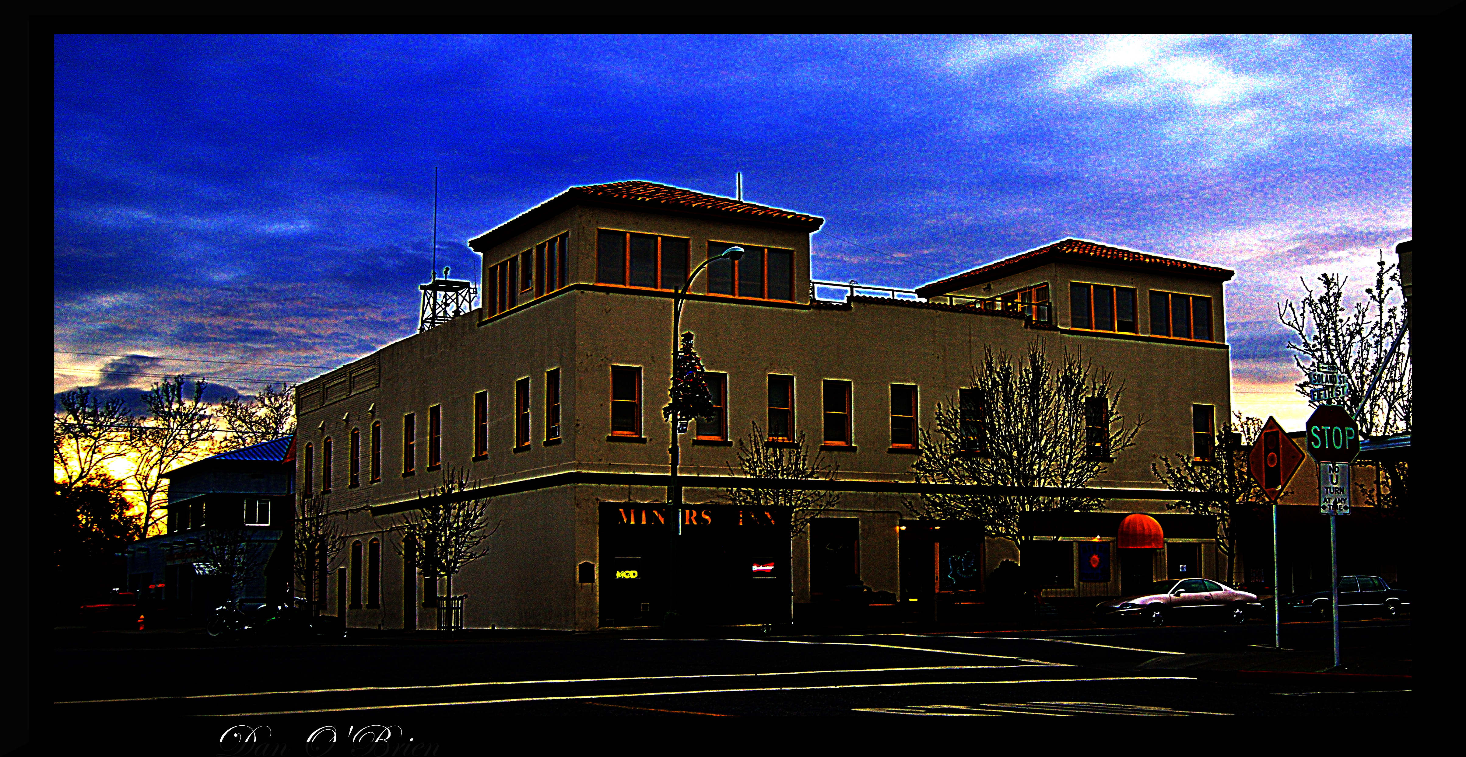
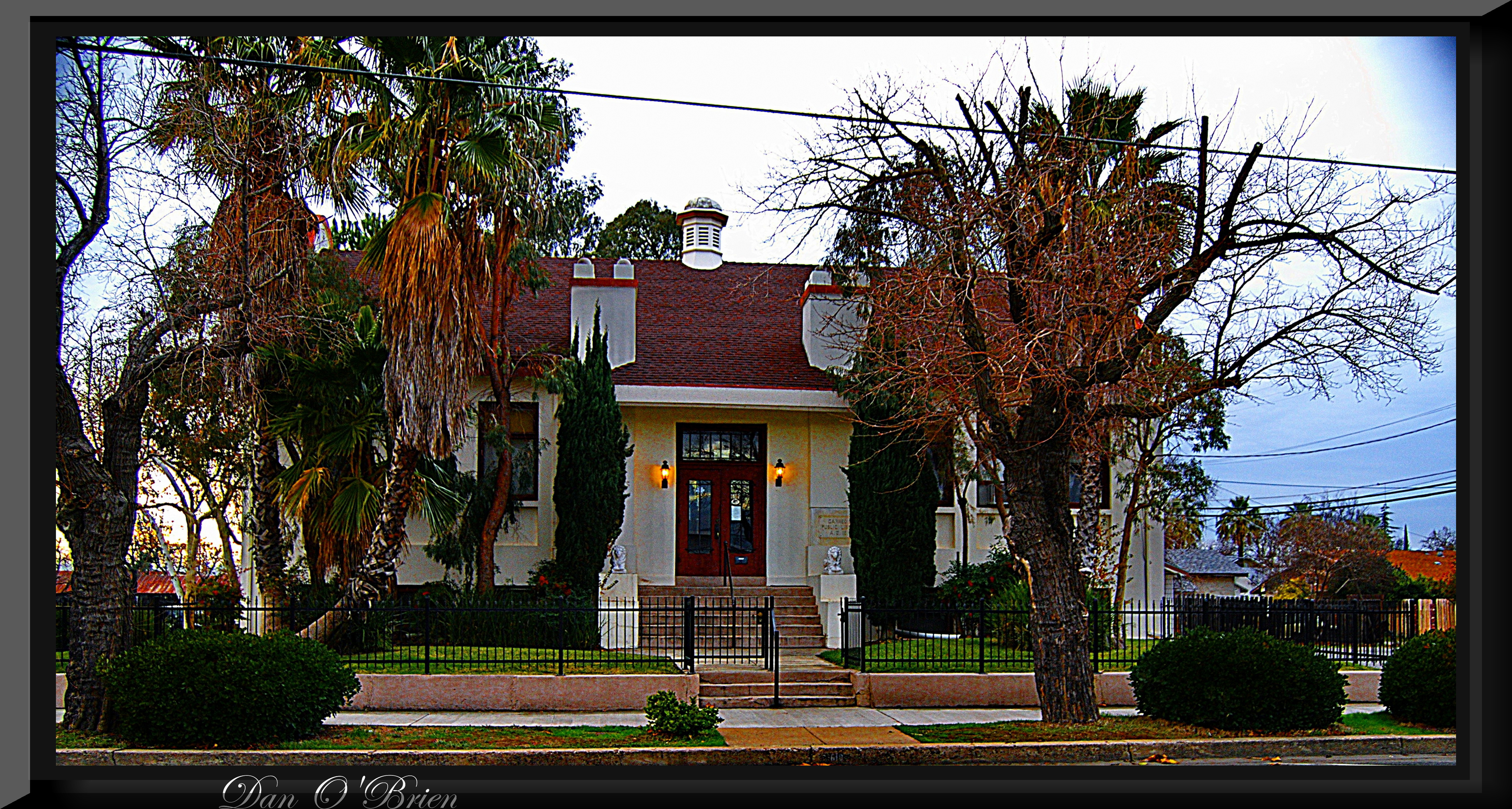
Corning CA.

Corning CA.

Cowboy collectable's
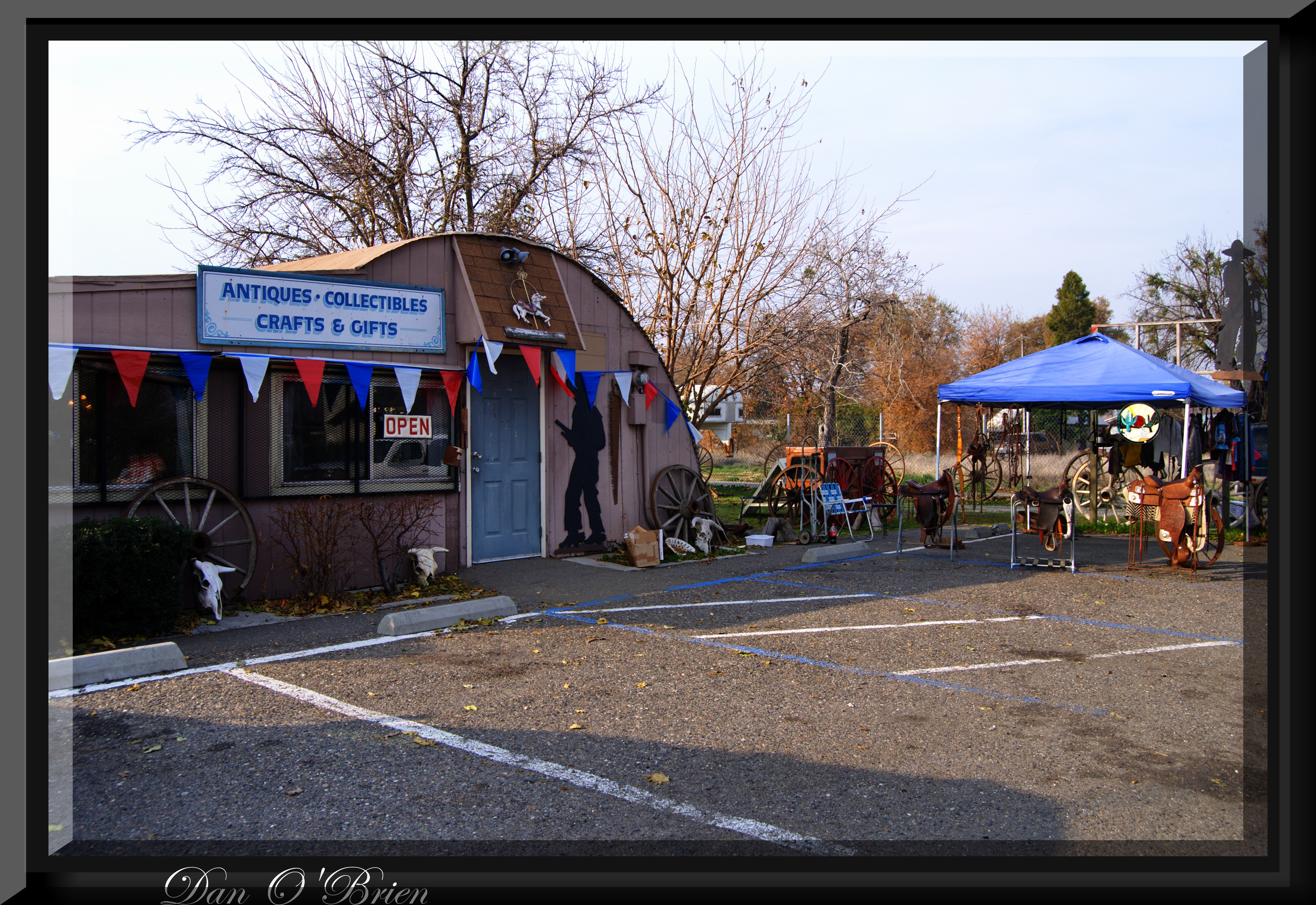
Cowboy collectable's(1)
country drive

Corning CA.

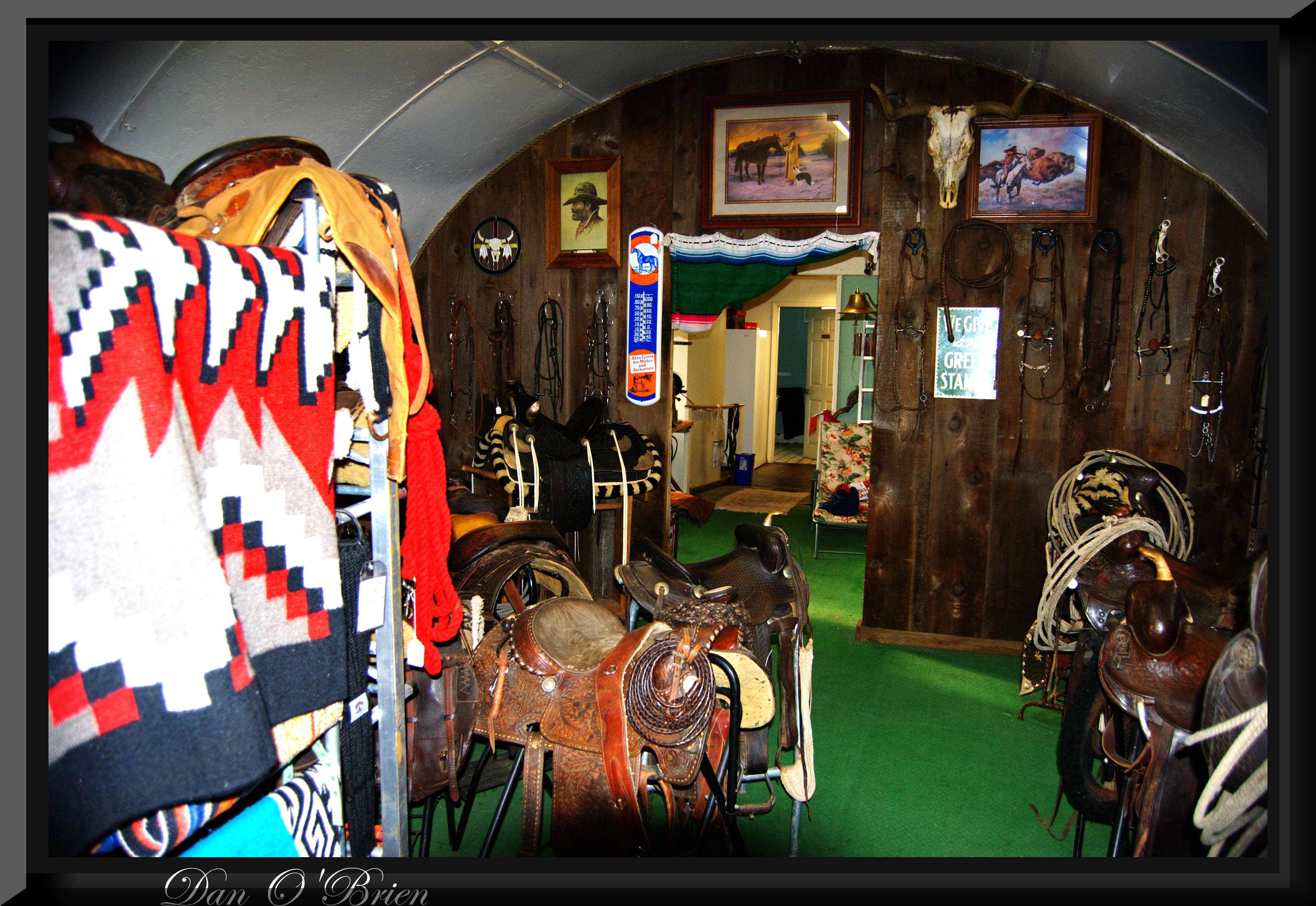
Carol's Browse Around(2)

Corning CA.
Cowboy collectable's(2)

Carol's Browse Around
Carol's Browse Around(1)
Cowboy collectable's(3)
Corning CA.
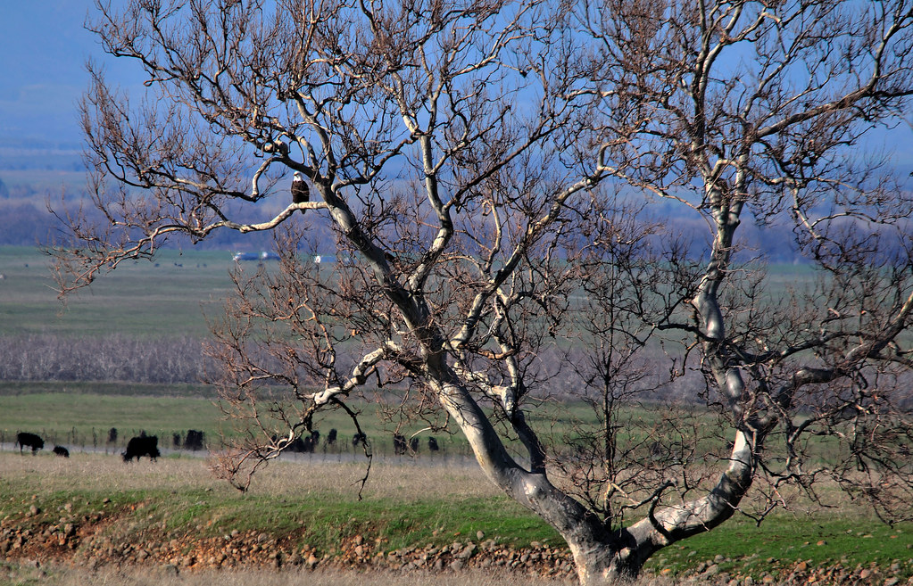
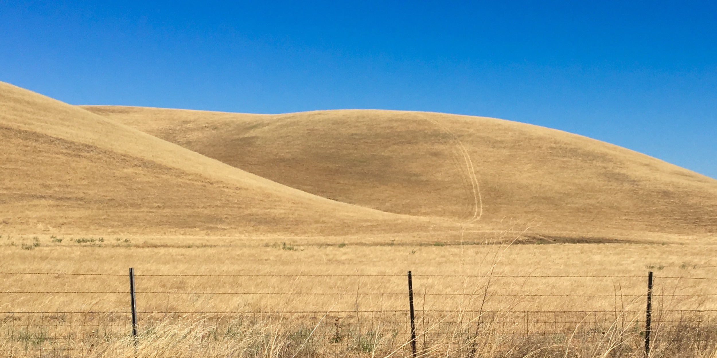
The view from here
Corning CA.
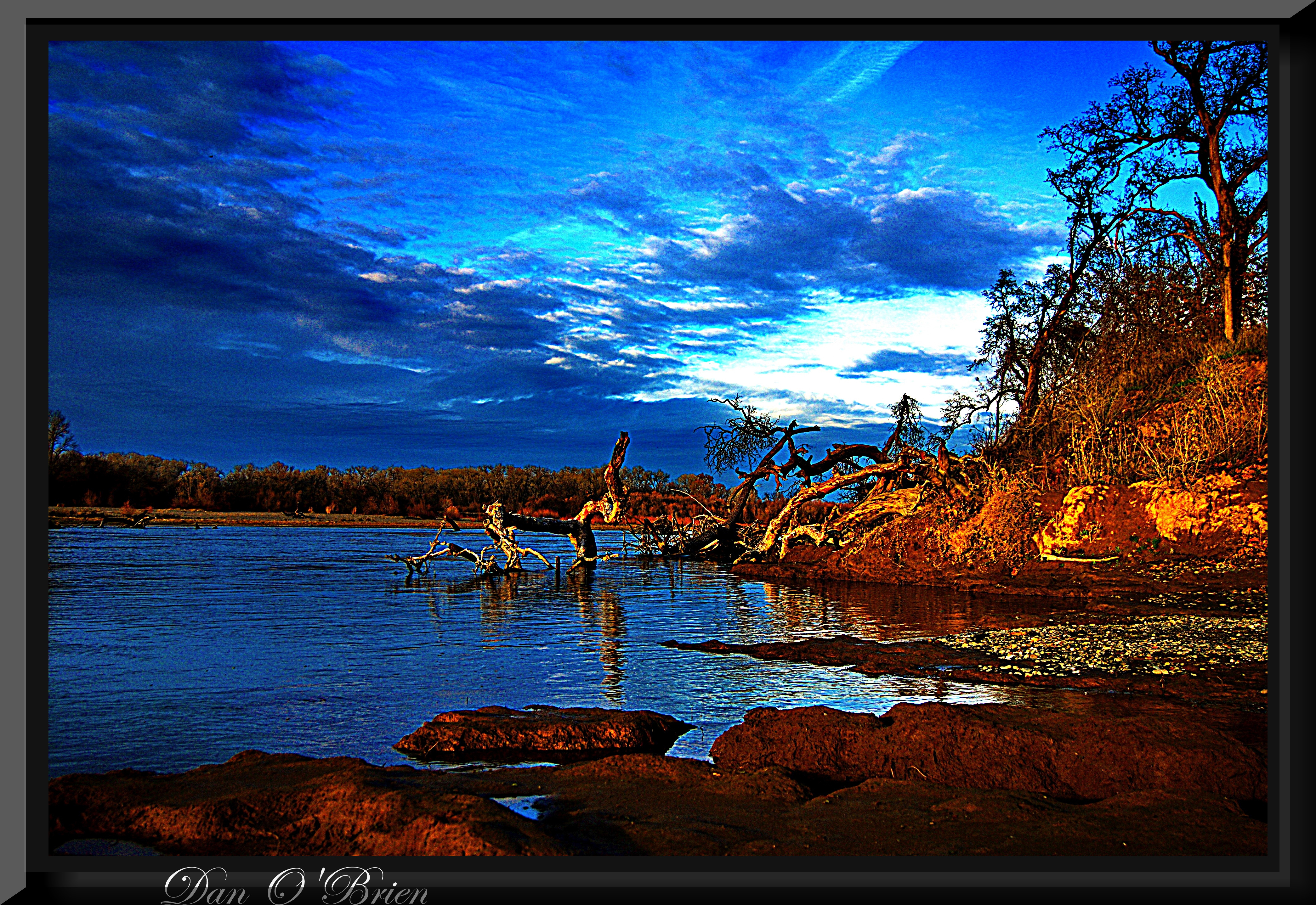
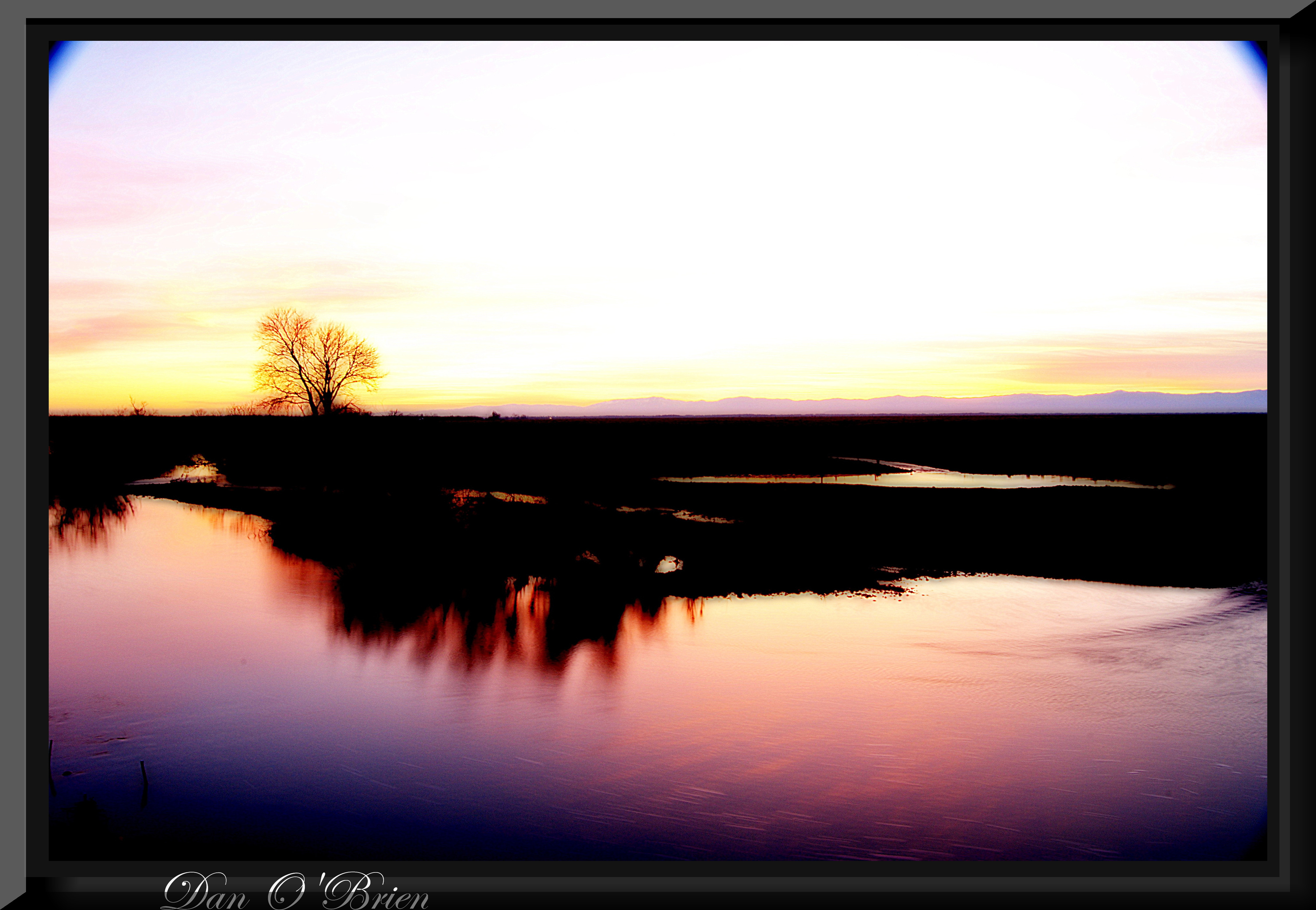
Sacramento River park
The Shortcut
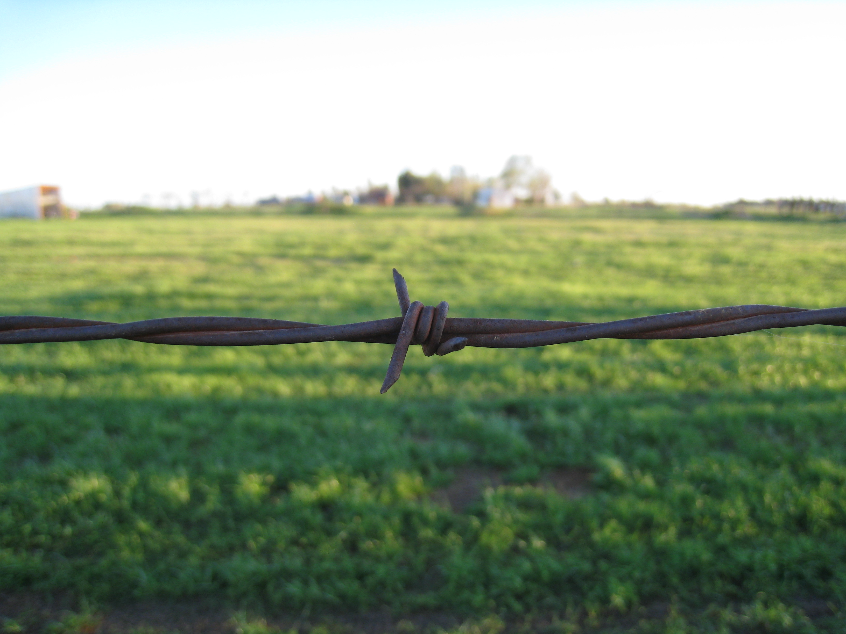
Barbed wire
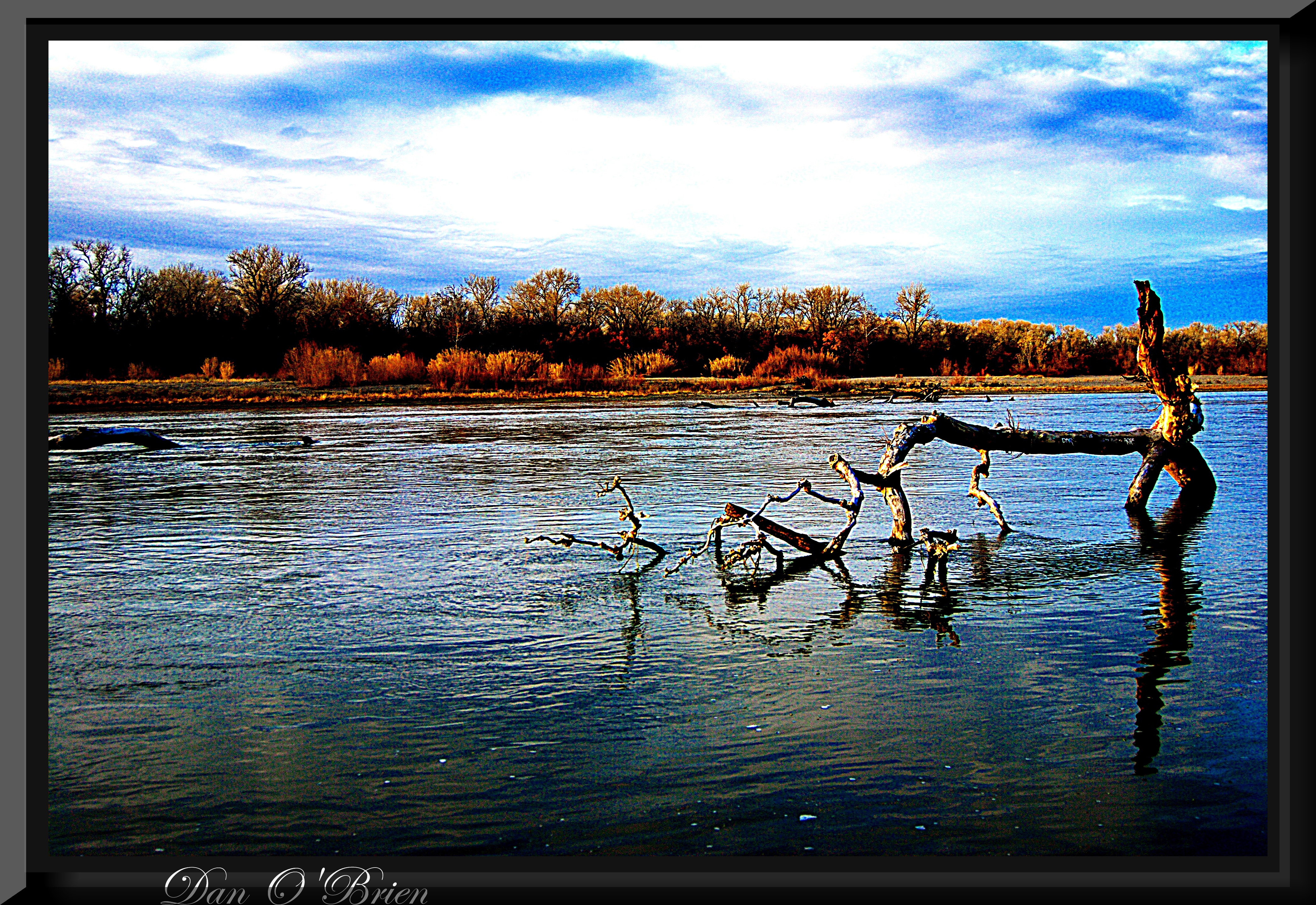
Sacramento River park
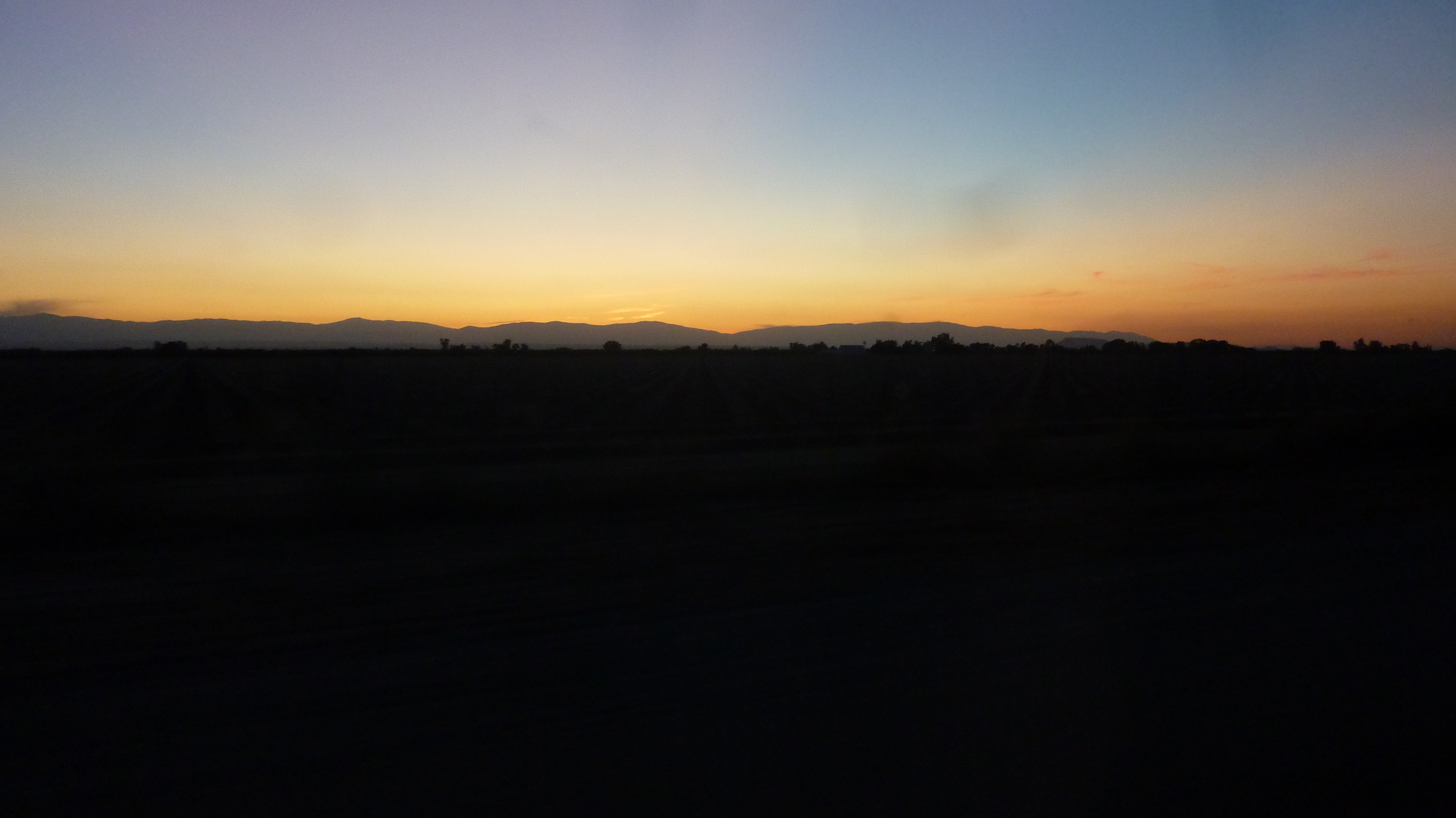
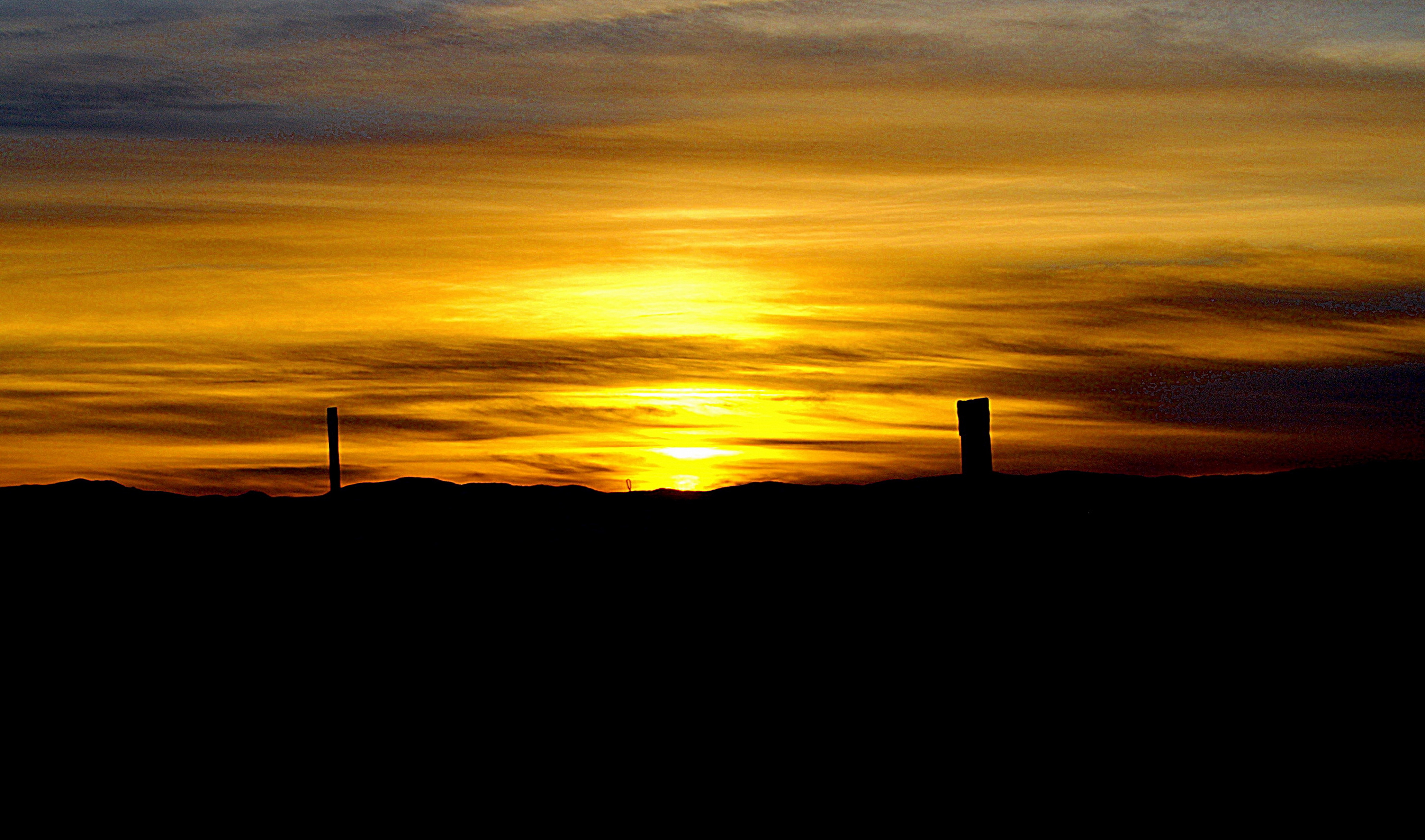
Mendocinos at Dusk 2
Topographic Map of Dale Rd, Corning, CA, USA
Find elevation by address:

Places near Dale Rd, Corning, CA, USA:
Hoag Road
4450 Mary Ave
4455 Mary Ave
3770 Illinois Ave
Illinois Ave, Corning, CA, USA
Blethen Island
Solano St, Corning, CA, USA
Corning
Vina
4795 D St
Golden State Hwy, Vina, CA, USA
4450 Corning Rd
4455 Corning Rd
1901 Mckinley Ave
7233 Amador Rd
Richfield
Thomes Creek Rock Co
5130 Orland Ave
7697 Sherwood Blvd
Los Molinos
Recent Searches:
- Elevation of Jalan Senandin, Lutong, Miri, Sarawak, Malaysia
- Elevation of Bilohirs'k
- Elevation of 30 Oak Lawn Dr, Barkhamsted, CT, USA
- Elevation of Luther Road, Luther Rd, Auburn, CA, USA
- Elevation of Unnamed Road, Respublika Severnaya Osetiya — Alaniya, Russia
- Elevation of Verkhny Fiagdon, North Ossetia–Alania Republic, Russia
- Elevation of F. Viola Hiway, San Rafael, Bulacan, Philippines
- Elevation of Herbage Dr, Gulfport, MS, USA
- Elevation of Lilac Cir, Haldimand, ON N3W 2G9, Canada
- Elevation of Harrod Branch Road, Harrod Branch Rd, Kentucky, USA