Elevation of Hazelgreen Rd, Harrisville, WV, USA
Location: United States > West Virginia > Ritchie County > Murphy >
Longitude: -80.987067
Latitude: 39.082562
Elevation: 233m / 764feet
Barometric Pressure: 99KPa
Elevation Map:
Satellite Map:
Related Photos:
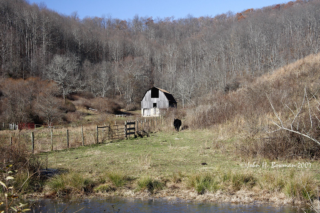
Sheltered barn

Lonely tree

Panorama: WV Gas Station
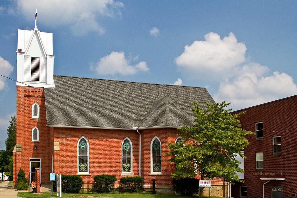
St. Luke's United Methodist Church
November barn
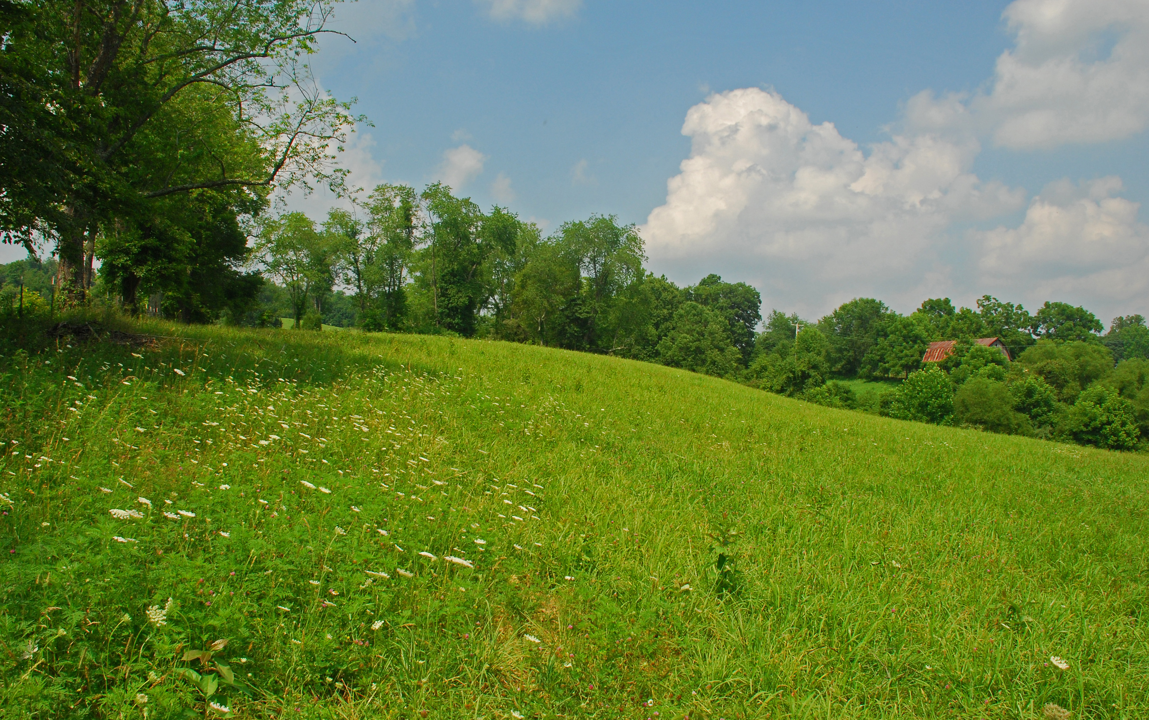
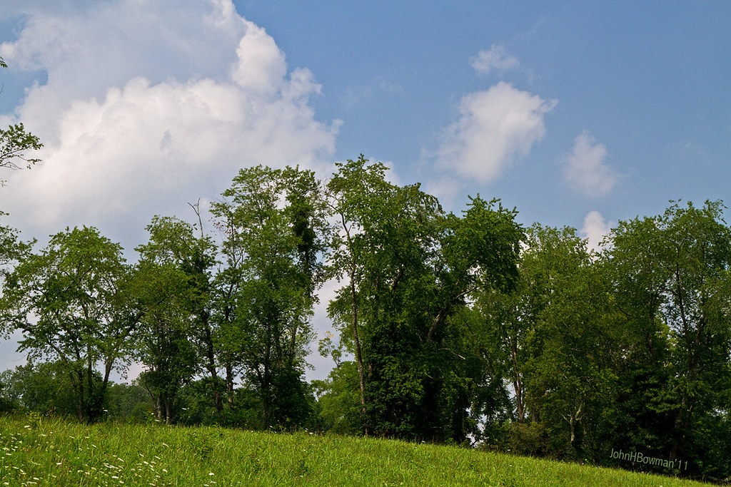
Summer Day Landscape
Summer Beauty
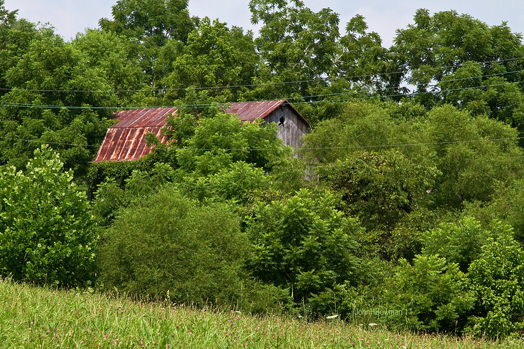
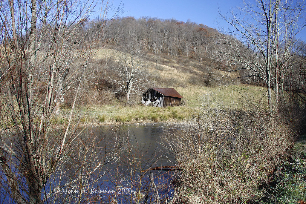
Peek-a-boo Barn

Ritchie County Courthouse

Downtown Harrisville
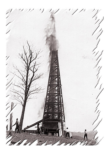
Strike !
Topographic Map of Hazelgreen Rd, Harrisville, WV, USA
Find elevation by address:

Places near Hazelgreen Rd, Harrisville, WV, USA:
Cox Rd, Harrisville, WV, USA
Berea
Berea, WV, USA
4664 Leatherbark Rd
Union
Ritchie County
Murphy
Pullman
26 Shady Ln, Pullman, WV, USA
710 Starr Ave
606 Ford St
597 Thomas St
Harrisville
103 W Main St
Cokeley Ridge Rd, Harrisville, WV, USA
Hale Street
West Virginia Avenue
424 W Main St
500 W Main St
West Virginia 47
Recent Searches:
- Elevation of 6 Rue Jules Ferry, Beausoleil, France
- Elevation of Sattva Horizon, 4JC6+G9P, Vinayak Nagar, Kattigenahalli, Bengaluru, Karnataka, India
- Elevation of Great Brook Sports, Gold Star Hwy, Groton, CT, USA
- Elevation of 10 Mountain Laurels Dr, Nashua, NH, USA
- Elevation of 16 Gilboa Ln, Nashua, NH, USA
- Elevation of Laurel Rd, Townsend, TN, USA
- Elevation of 3 Nestling Wood Dr, Long Valley, NJ, USA
- Elevation of Ilungu, Tanzania
- Elevation of Yellow Springs Road, Yellow Springs Rd, Chester Springs, PA, USA
- Elevation of Rēzekne Municipality, Latvia