Elevation of Union, WV, USA
Location: United States > West Virginia > Ritchie County >
Longitude: -80.920773
Latitude: 39.1529964
Elevation: 241m / 791feet
Barometric Pressure: 98KPa
Elevation Map:
Satellite Map:
Related Photos:
Sheltered barn
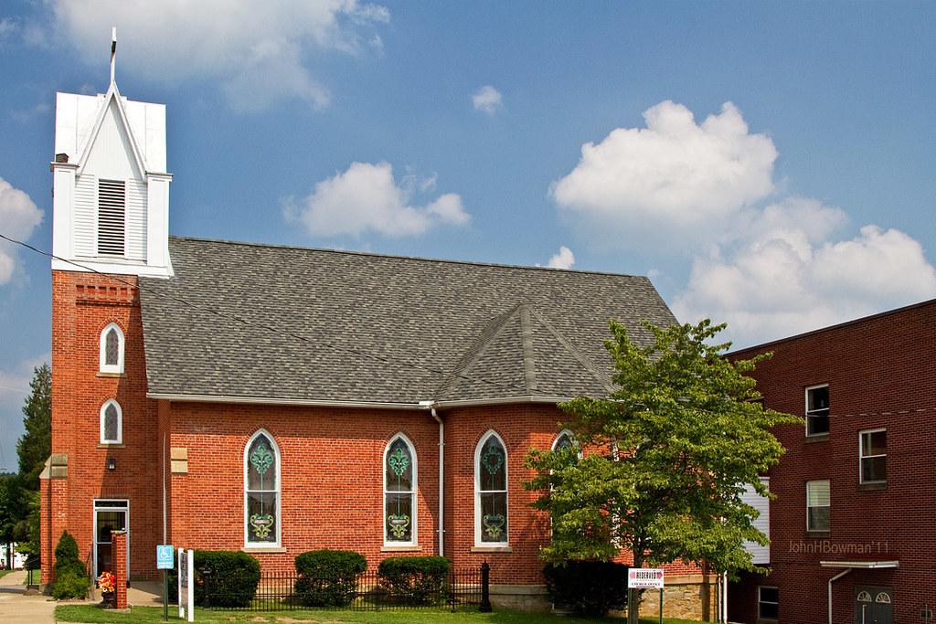
St. Luke's United Methodist Church
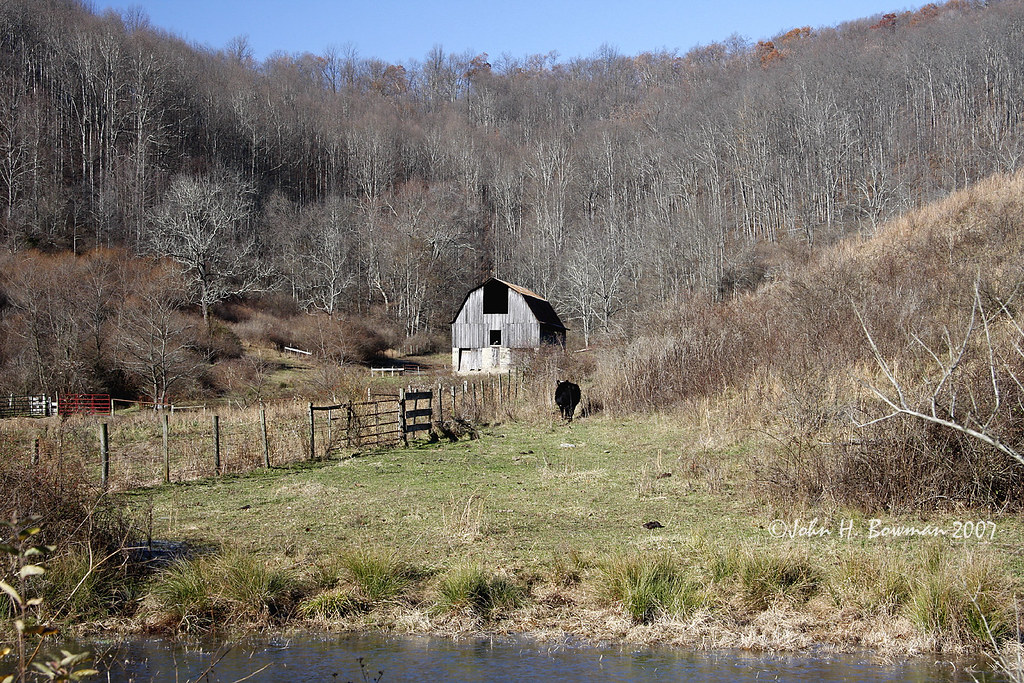
November barn
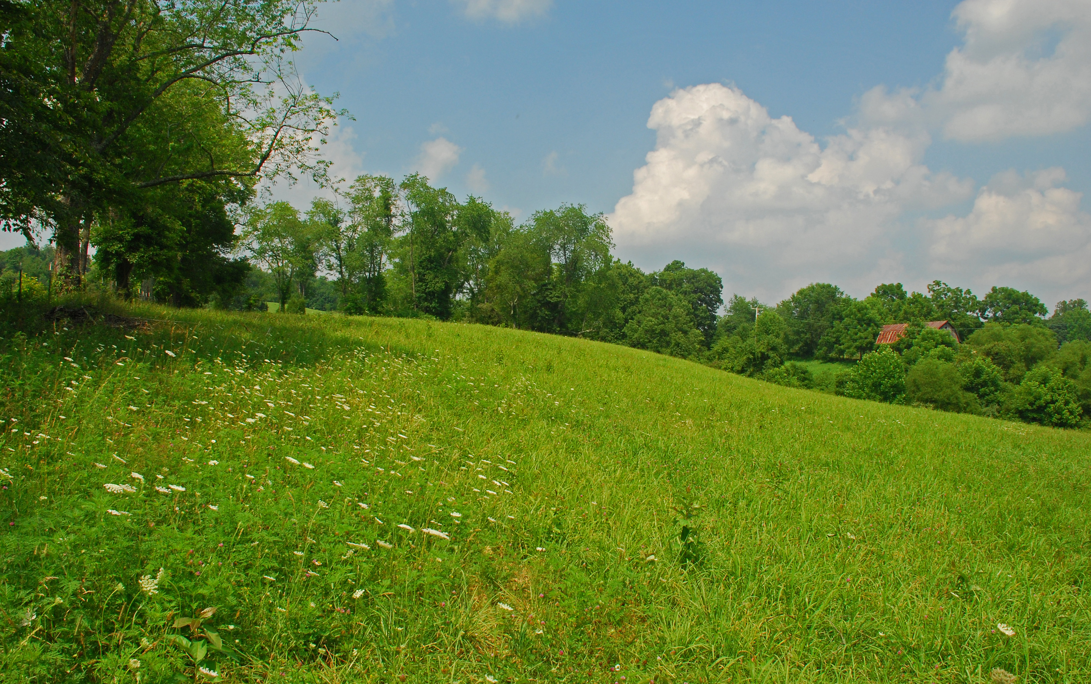
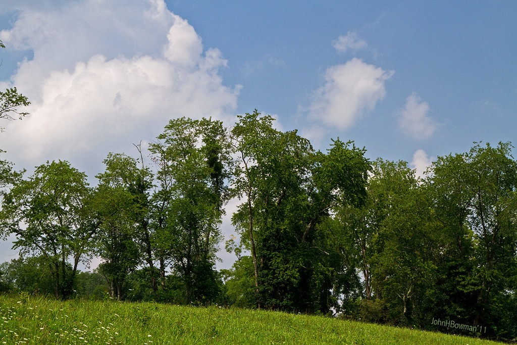
Summer Day Landscape
Summer Beauty
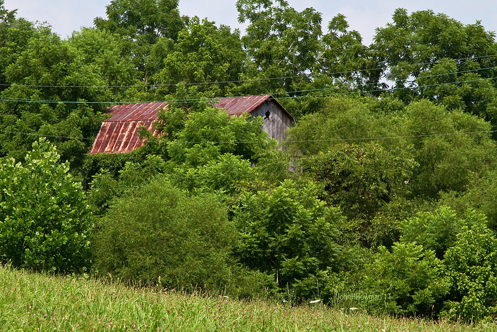
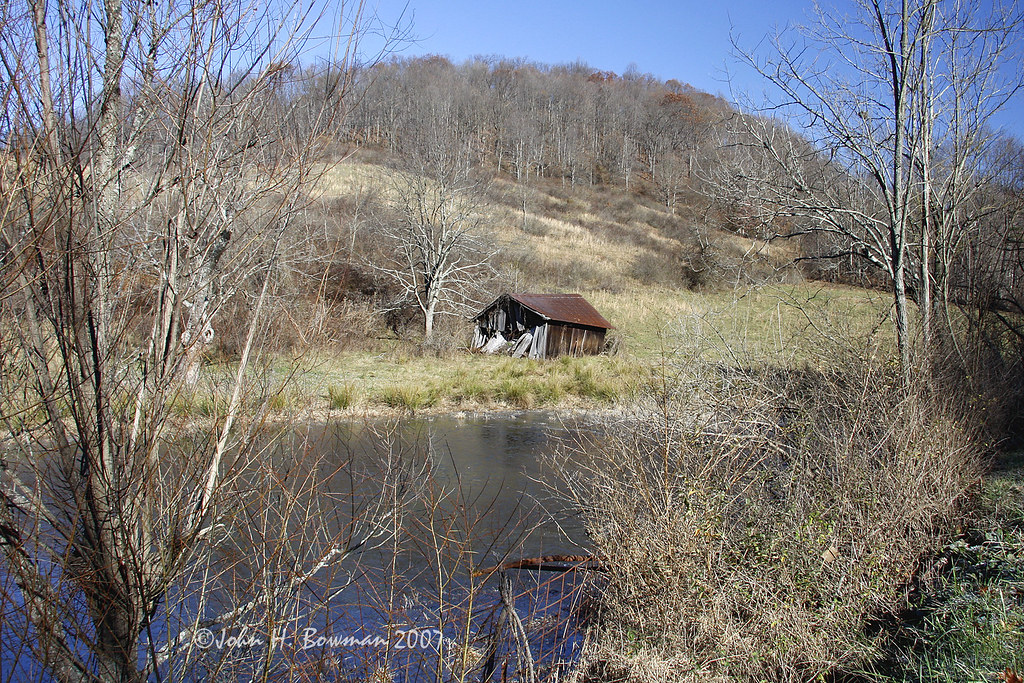
Peek-a-boo Barn

Lonely tree

Ritchie County Courthouse

Downtown Harrisville
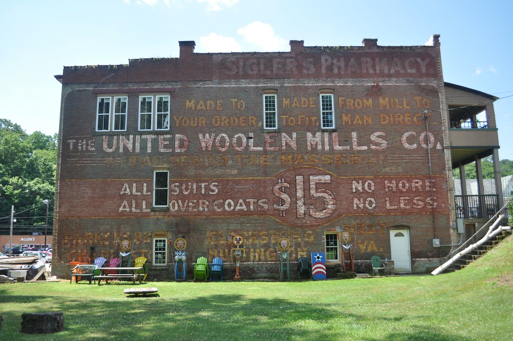
United Woolen Mills
Topographic Map of Union, WV, USA
Find elevation by address:

Places in Union, WV, USA:
Places near Union, WV, USA:
Berea
Berea, WV, USA
Pullman
26 Shady Ln, Pullman, WV, USA
Cox Rd, Harrisville, WV, USA
Hazelgreen Rd, Harrisville, WV, USA
Ritchie County
Greenwood
67 School St, Greenwood, WV, USA
710 Starr Ave
606 Ford St
Clay
Hale Street
West Virginia Avenue
Pennsboro
30 Collins Ave, Pennsboro, WV, USA
Harrisville
101 Cemetery Rd
103 W Main St
597 Thomas St
Recent Searches:
- Elevation of Gateway Blvd SE, Canton, OH, USA
- Elevation of East W.T. Harris Boulevard, E W.T. Harris Blvd, Charlotte, NC, USA
- Elevation of West Sugar Creek, Charlotte, NC, USA
- Elevation of Wayland, NY, USA
- Elevation of Steadfast Ct, Daphne, AL, USA
- Elevation of Lagasgasan, X+CQH, Tiaong, Quezon, Philippines
- Elevation of Rojo Ct, Atascadero, CA, USA
- Elevation of Flagstaff Drive, Flagstaff Dr, North Carolina, USA
- Elevation of Avery Ln, Lakeland, FL, USA
- Elevation of Woolwine, VA, USA