Elevation of Cox Rd, Harrisville, WV, USA
Location: United States > West Virginia > Ritchie County > Union > Harrisville >
Longitude: -80.974919
Latitude: 39.129802
Elevation: 235m / 771feet
Barometric Pressure: 99KPa
Elevation Map:
Satellite Map:
Related Photos:
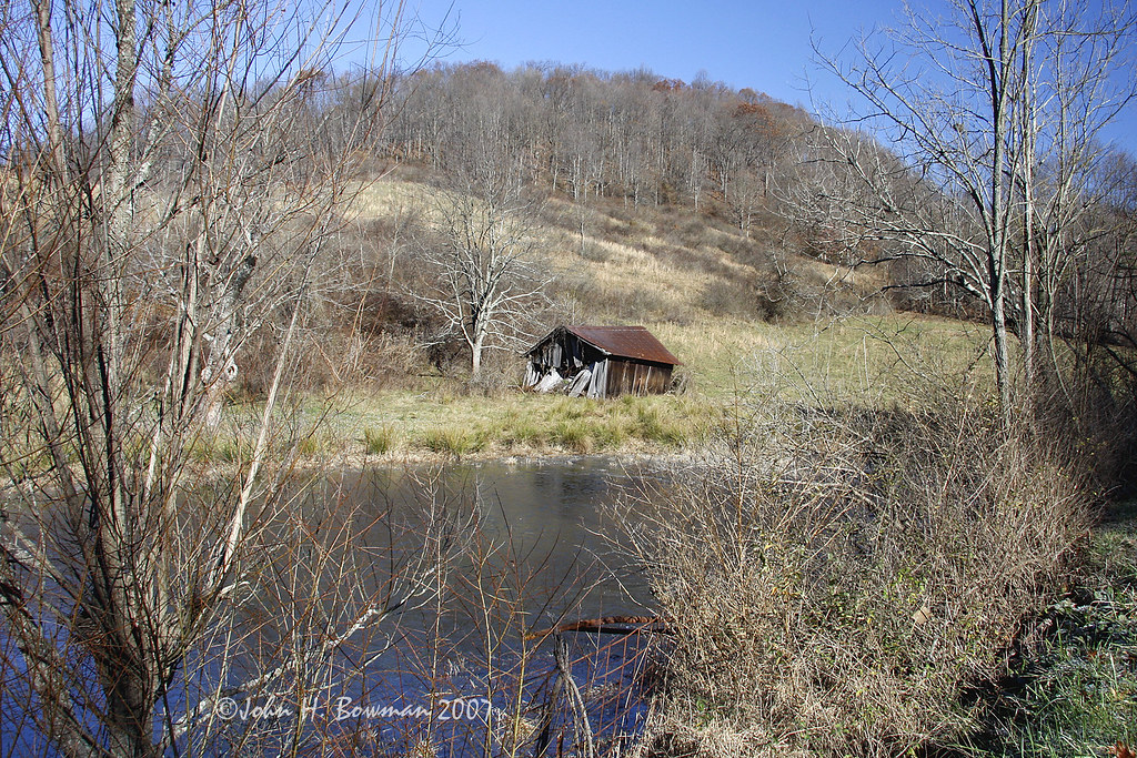
November barn

Common Merganser Pair
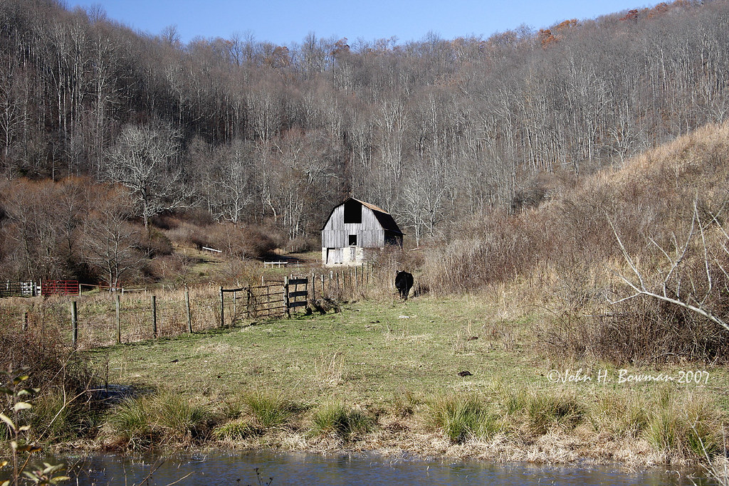
Sheltered barn
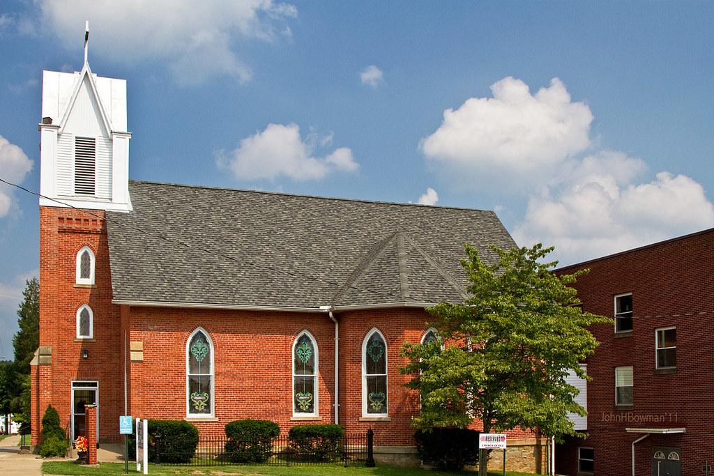
St. Luke's United Methodist Church
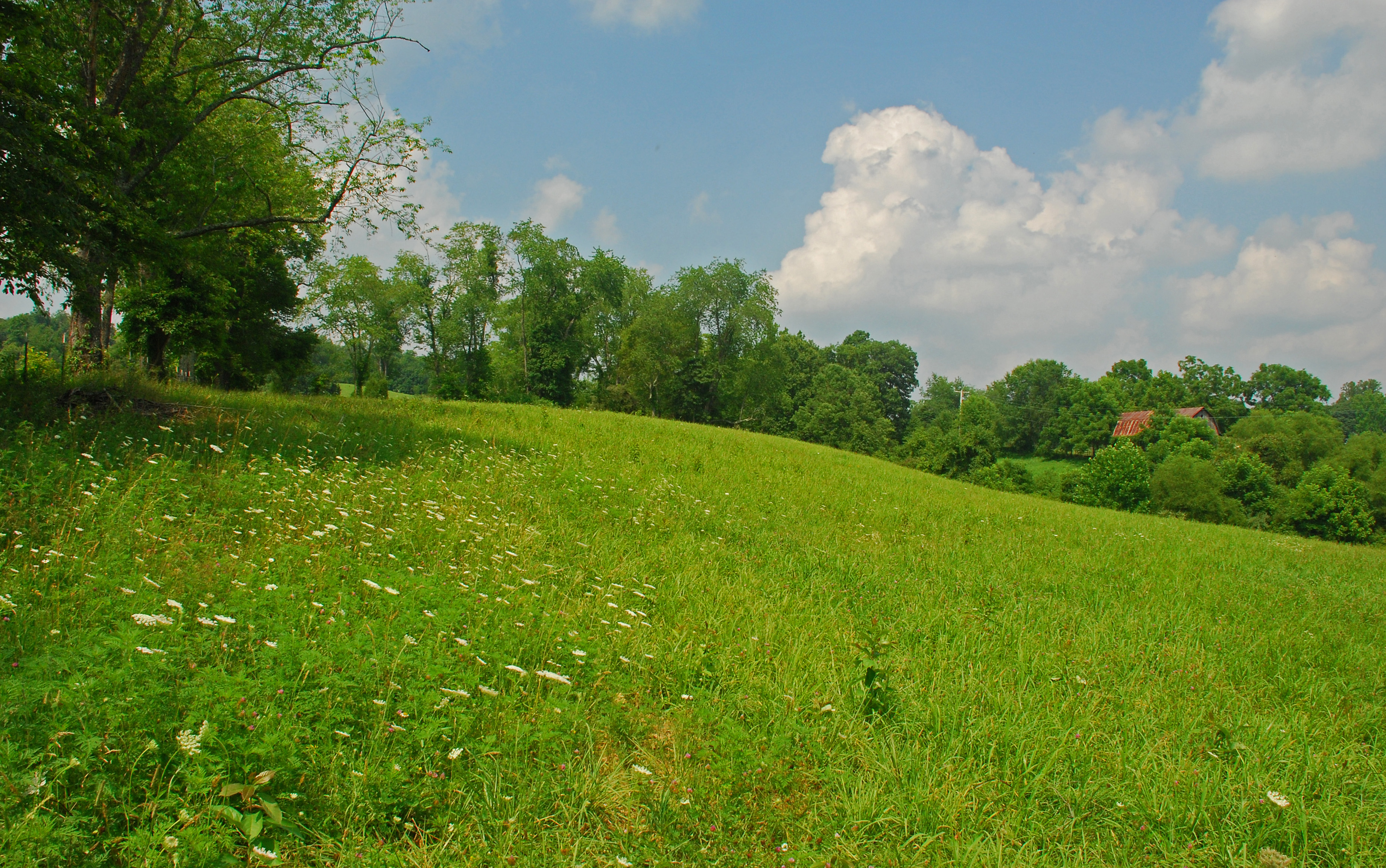
Summer Day Landscape
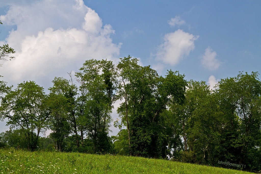
Summer Beauty
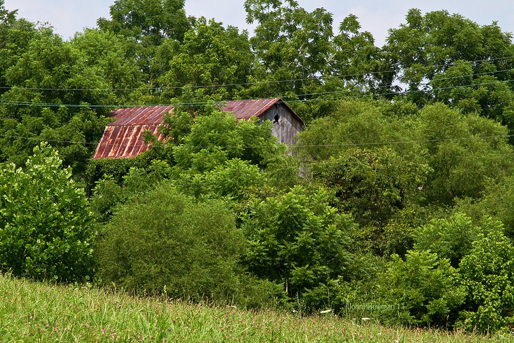
Peek-a-boo Barn

Lonely tree

Panorama: WV Gas Station

Ritchie County Courthouse

Downtown Harrisville
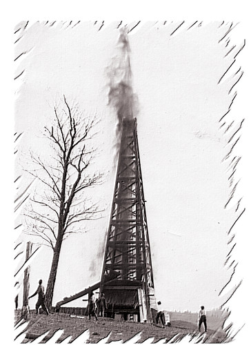
Strike !
Topographic Map of Cox Rd, Harrisville, WV, USA
Find elevation by address:

Places near Cox Rd, Harrisville, WV, USA:
Berea
Hazelgreen Rd, Harrisville, WV, USA
Union
Pullman
26 Shady Ln, Pullman, WV, USA
Berea, WV, USA
Ritchie County
710 Starr Ave
606 Ford St
Hale Street
West Virginia Avenue
Harrisville
103 W Main St
597 Thomas St
424 W Main St
500 W Main St
Murphy
4664 Leatherbark Rd
Cokeley Ridge Rd, Harrisville, WV, USA
211 Woodland Dr
Recent Searches:
- Elevation of Unnamed Road, Respublika Severnaya Osetiya — Alaniya, Russia
- Elevation of Verkhny Fiagdon, North Ossetia–Alania Republic, Russia
- Elevation of F. Viola Hiway, San Rafael, Bulacan, Philippines
- Elevation of Herbage Dr, Gulfport, MS, USA
- Elevation of Lilac Cir, Haldimand, ON N3W 2G9, Canada
- Elevation of Harrod Branch Road, Harrod Branch Rd, Kentucky, USA
- Elevation of Wyndham Grand Barbados Sam Lords Castle All Inclusive Resort, End of Belair Road, Long Bay, Bridgetown Barbados
- Elevation of Iga Trl, Maggie Valley, NC, USA
- Elevation of N Co Rd 31D, Loveland, CO, USA
- Elevation of Lindever Ln, Palmetto, FL, USA