Elevation of Cokeley Ridge Rd, Harrisville, WV, USA
Location: United States > West Virginia > Ritchie County > Murphy >
Longitude: -81.107836
Latitude: 39.1595609
Elevation: 345m / 1132feet
Barometric Pressure: 97KPa
Elevation Map:
Satellite Map:
Related Photos:

Common Merganser Pair
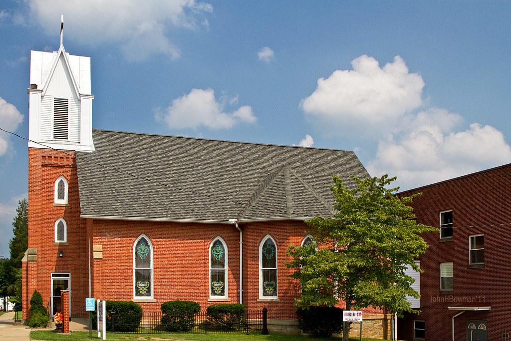
St. Luke's United Methodist Church
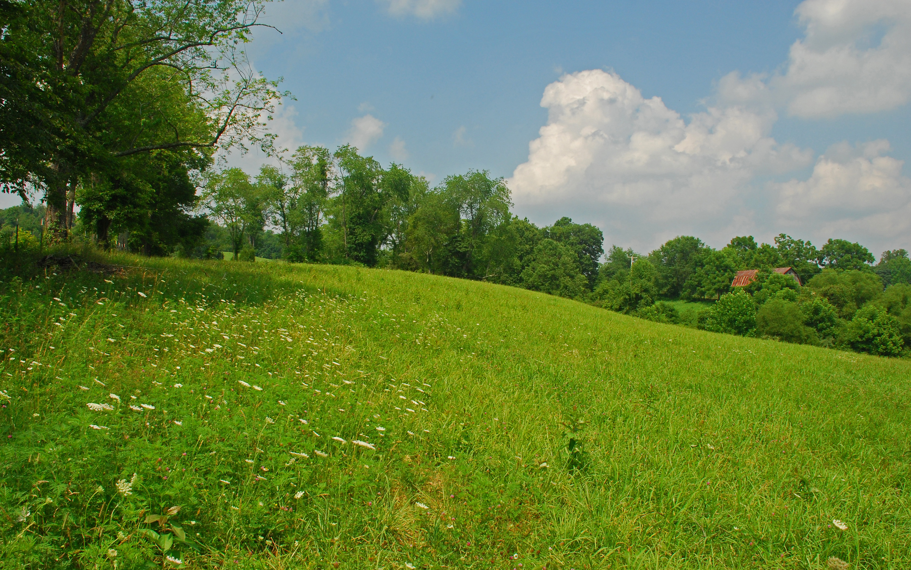
Summer Day Landscape
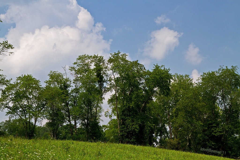
Summer Beauty
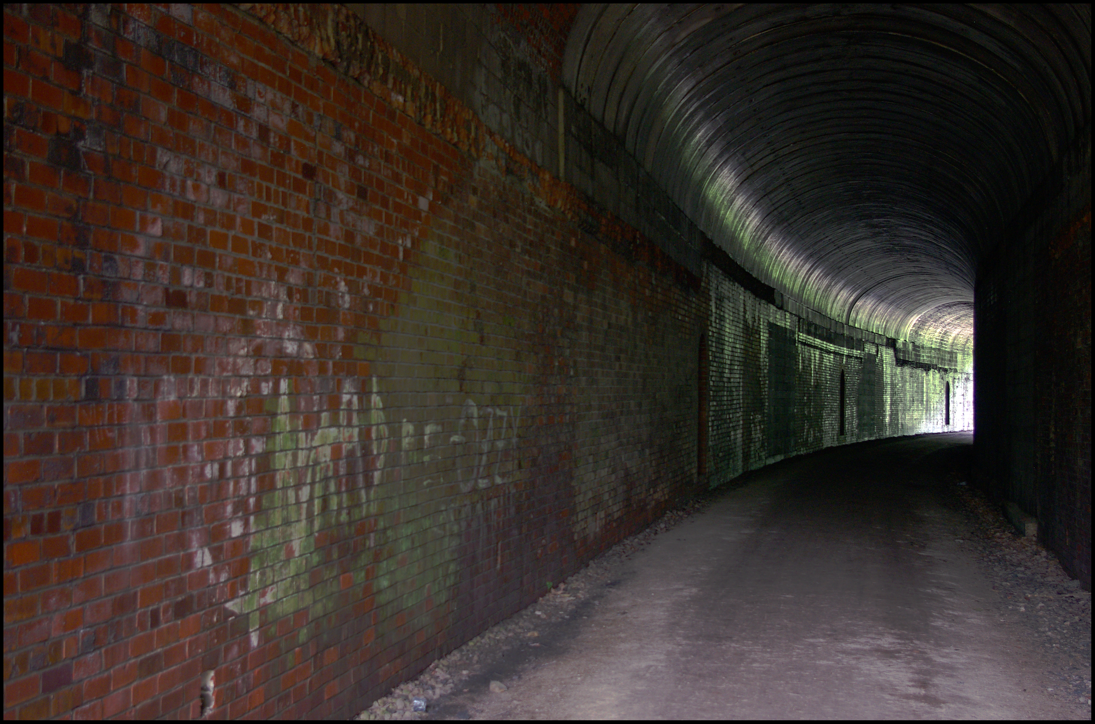
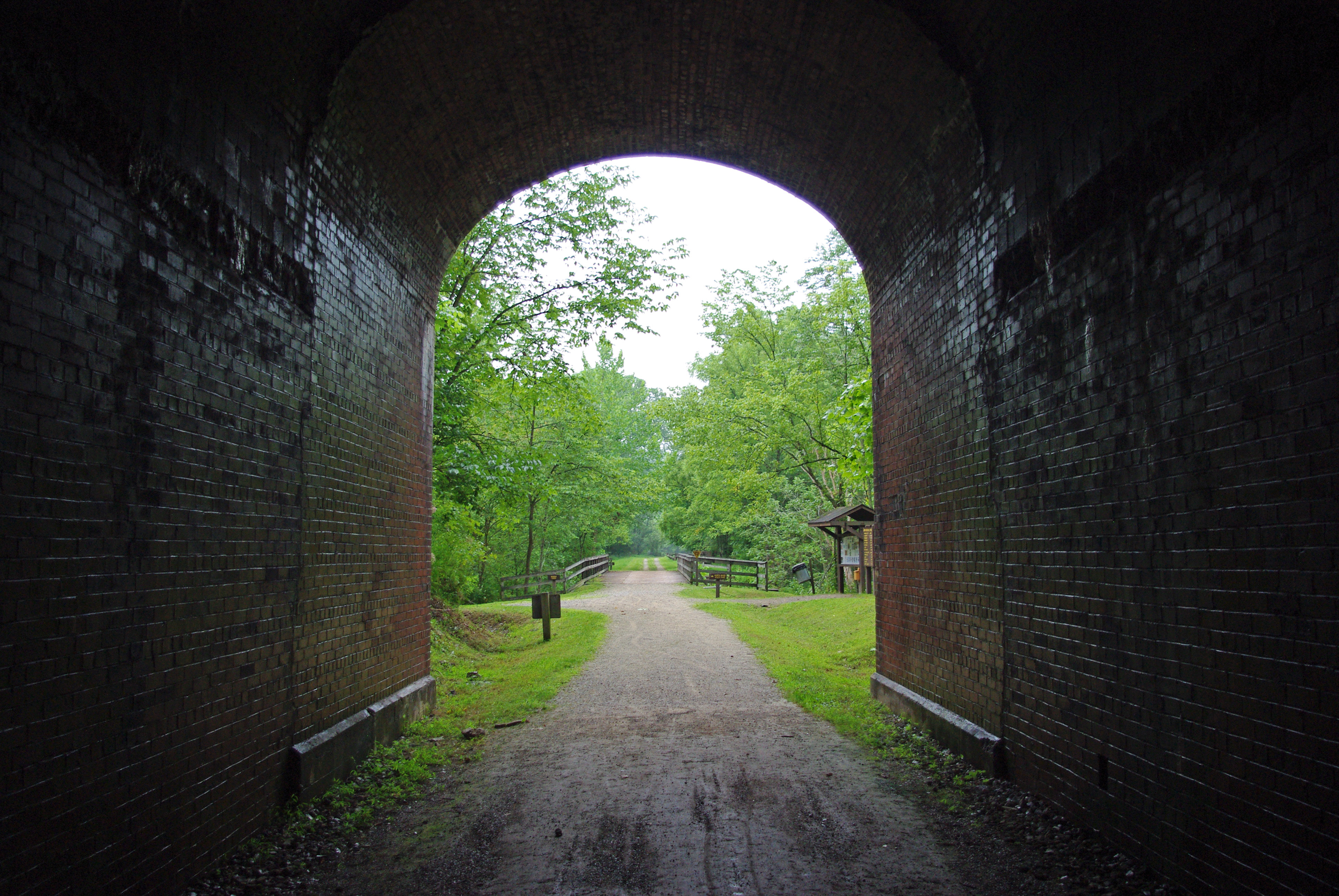
Tunnel 13 - North Bend Rail Trail - HDR 300
Vacation 2010 - p - 03 037-300
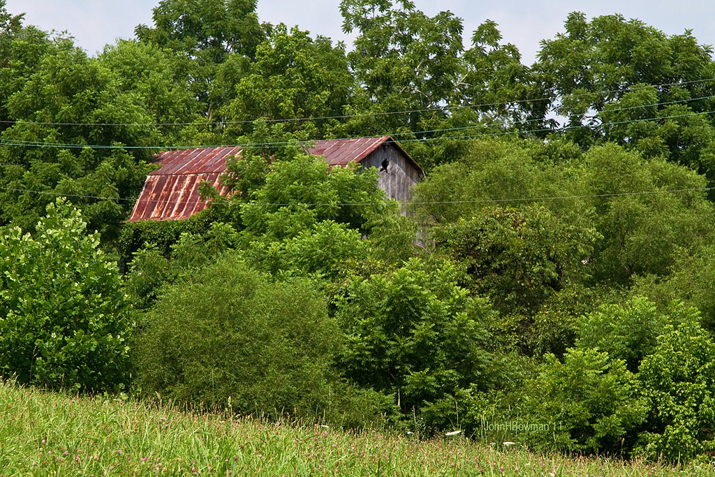
Peek-a-boo Barn

Panorama: WV Gas Station

Ritchie County Courthouse

Two Keyboards

Downtown Harrisville
Vacation 2010 - p - 03 016-300

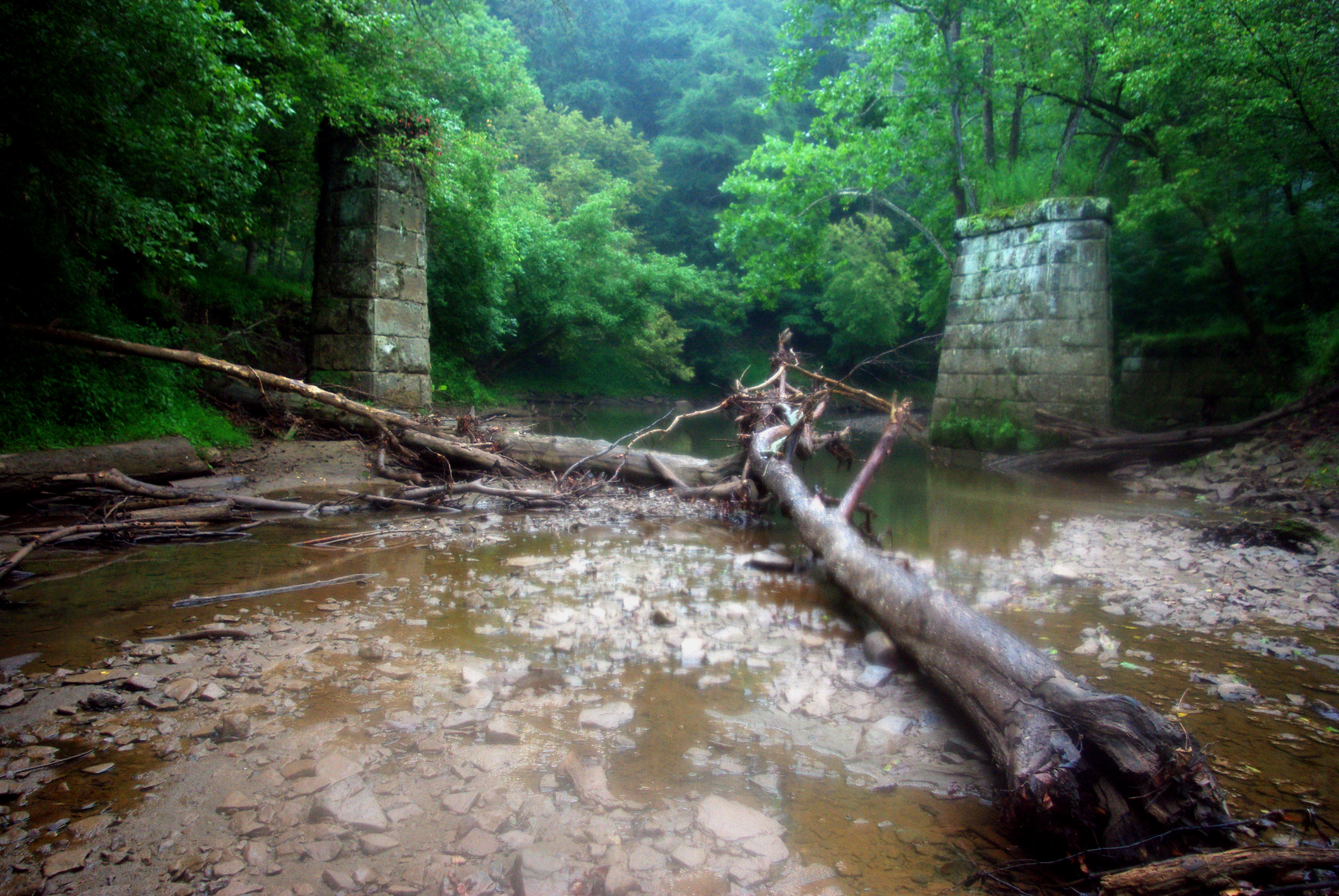
Bridge 698-08
Vacation 2010 - p - 03 008-300
Strike !
Topographic Map of Cokeley Ridge Rd, Harrisville, WV, USA
Find elevation by address:

Places near Cokeley Ridge Rd, Harrisville, WV, USA:
597 Thomas St
Cairo
259 Co Rd 31/4
500 W Main St
424 W Main St
103 W Main St
Harrisville
Murphy
606 Ford St
Ritchie County
710 Starr Ave
West Virginia 47
West Virginia Avenue
Hale Street
Grant
211 Woodland Dr
Ellenboro
Macfarlan
Racy Rd, Petroleum, WV, USA
Pine Grove Rd, Cairo, WV, USA
Recent Searches:
- Elevation of Corso Fratelli Cairoli, 35, Macerata MC, Italy
- Elevation of Tallevast Rd, Sarasota, FL, USA
- Elevation of 4th St E, Sonoma, CA, USA
- Elevation of Black Hollow Rd, Pennsdale, PA, USA
- Elevation of Oakland Ave, Williamsport, PA, USA
- Elevation of Pedrógão Grande, Portugal
- Elevation of Klee Dr, Martinsburg, WV, USA
- Elevation of Via Roma, Pieranica CR, Italy
- Elevation of Tavkvetili Mountain, Georgia
- Elevation of Hartfords Bluff Cir, Mt Pleasant, SC, USA