Elevation of Co Rd 31/4, Cairo, WV, USA
Location: United States > West Virginia > Ritchie County > Grant > Cairo >
Longitude: -81.161401
Latitude: 39.2047431
Elevation: 204m / 669feet
Barometric Pressure: 99KPa
Elevation Map:
Satellite Map:
Related Photos:
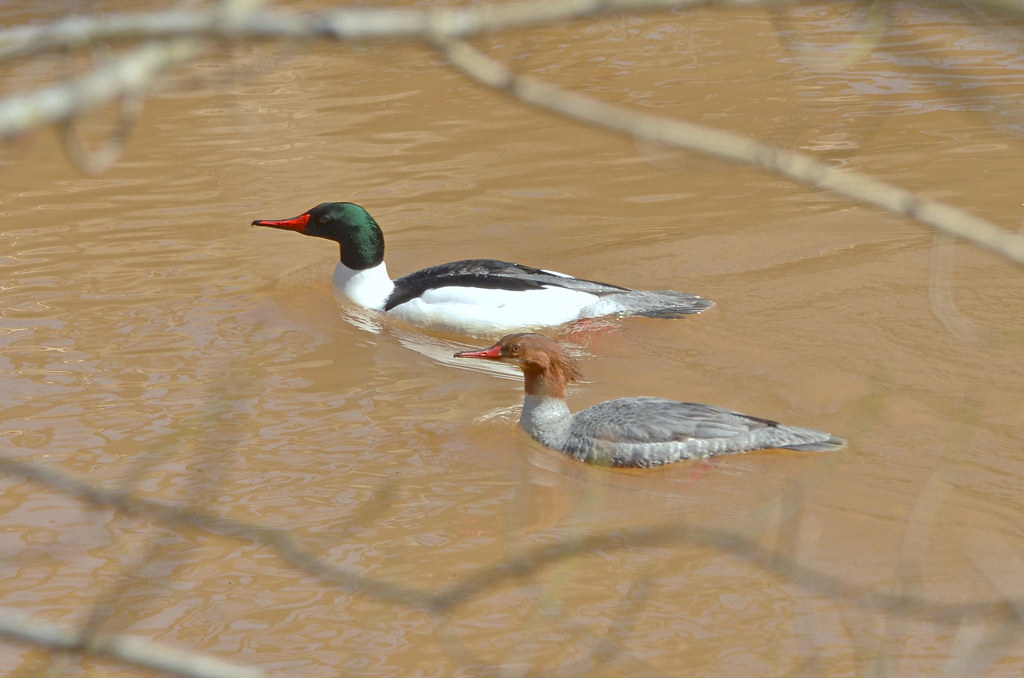
Common Merganser Pair
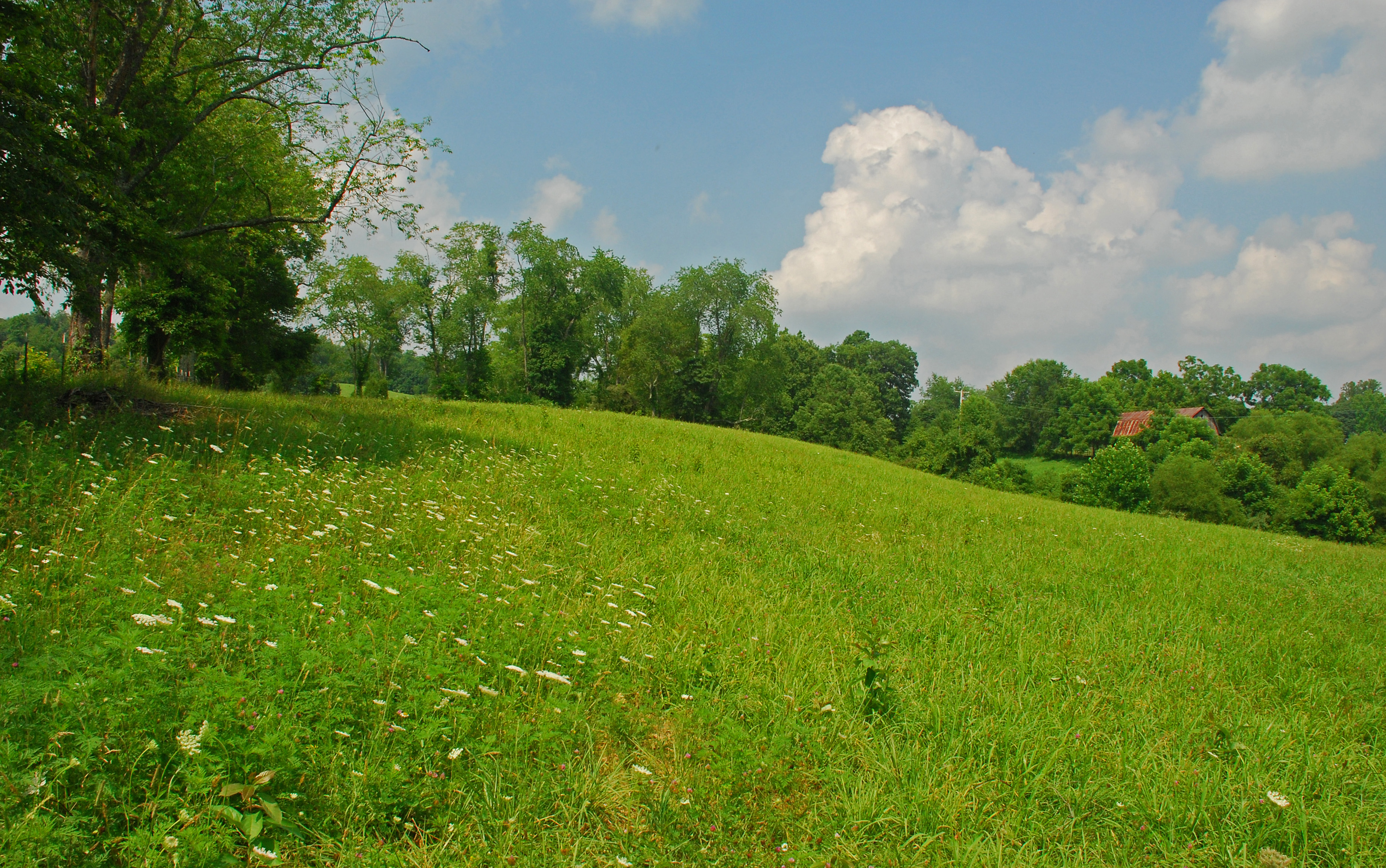
Summer Day Landscape
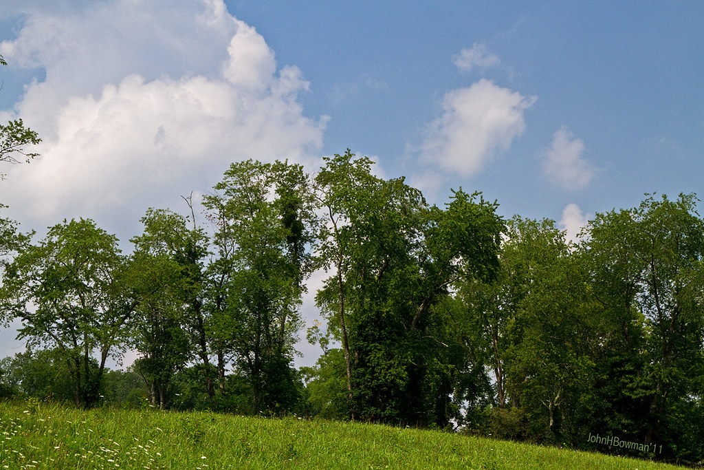
Summer Beauty
Vacation 2010 - p - 03 037-300
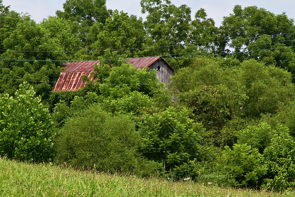
Peek-a-boo Barn

Panorama: WV Gas Station
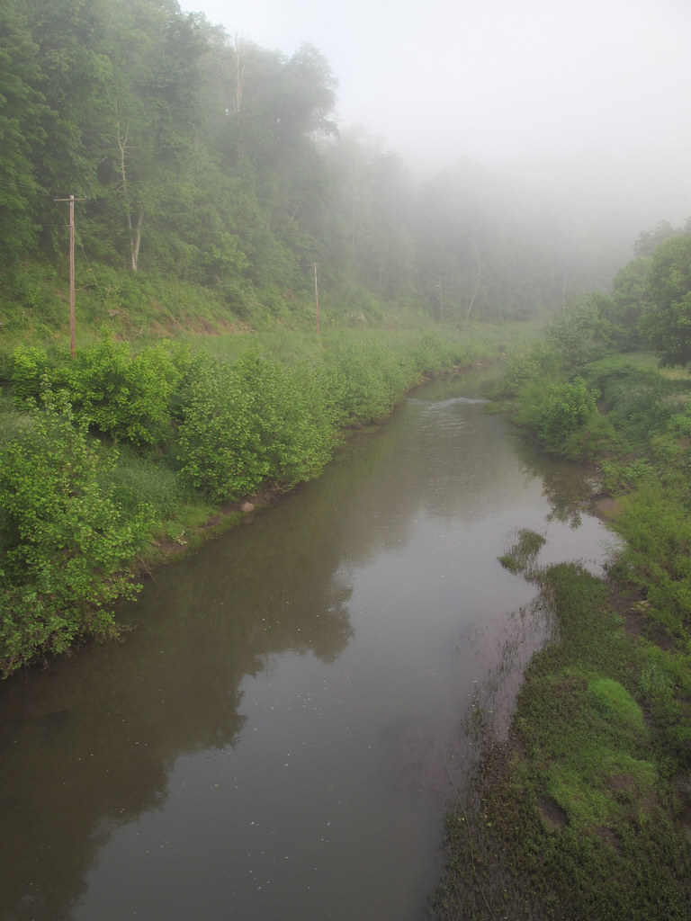
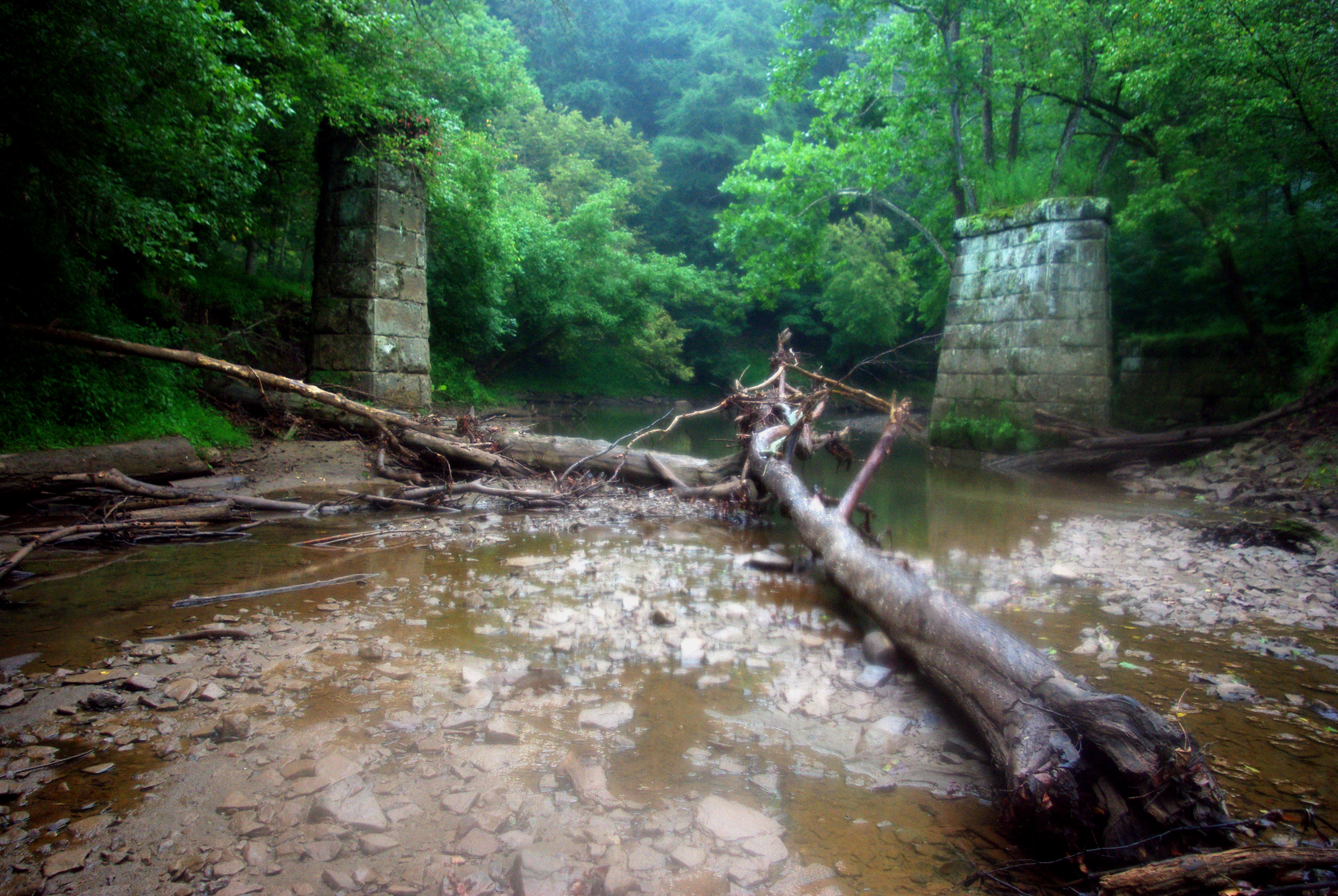
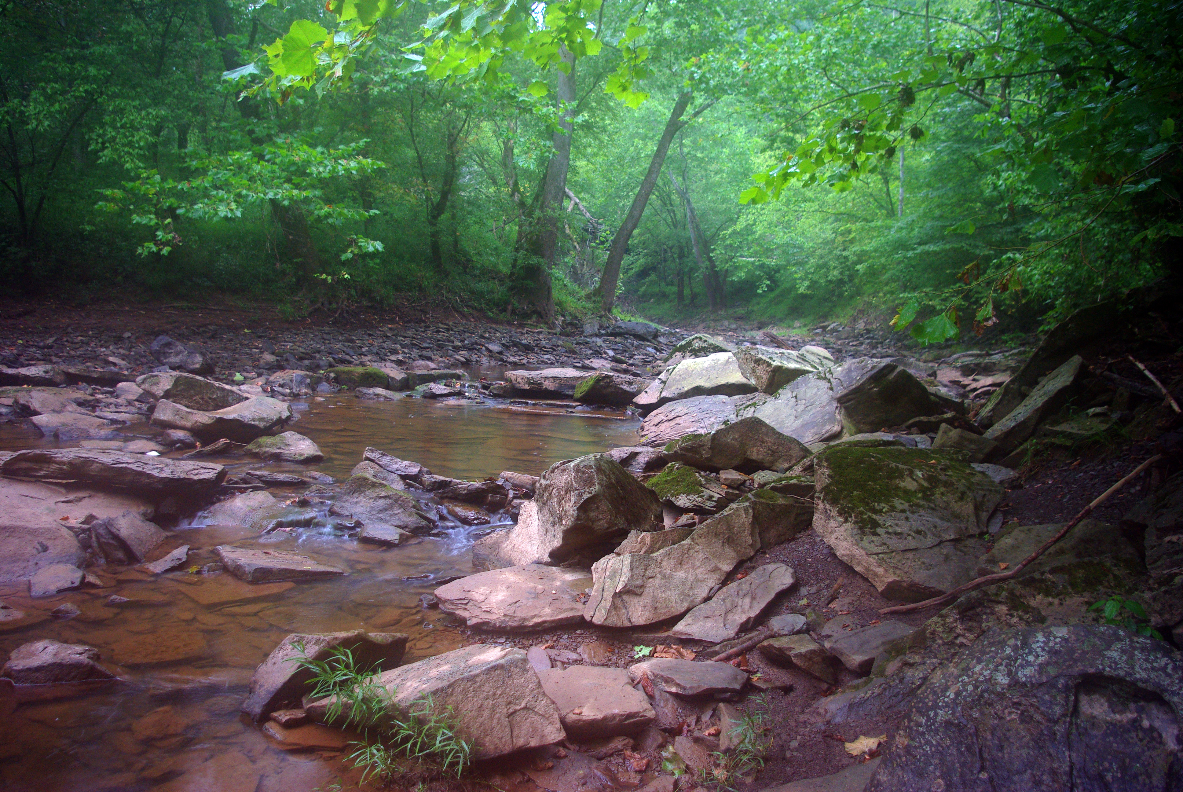
The North Fork [of the] Hughes River, which maybe some people have noticed shown as a squiggly blue line on their maps of West Virginia.

Two Keyboards

Ritchie County Courthouse

Downtown Harrisville
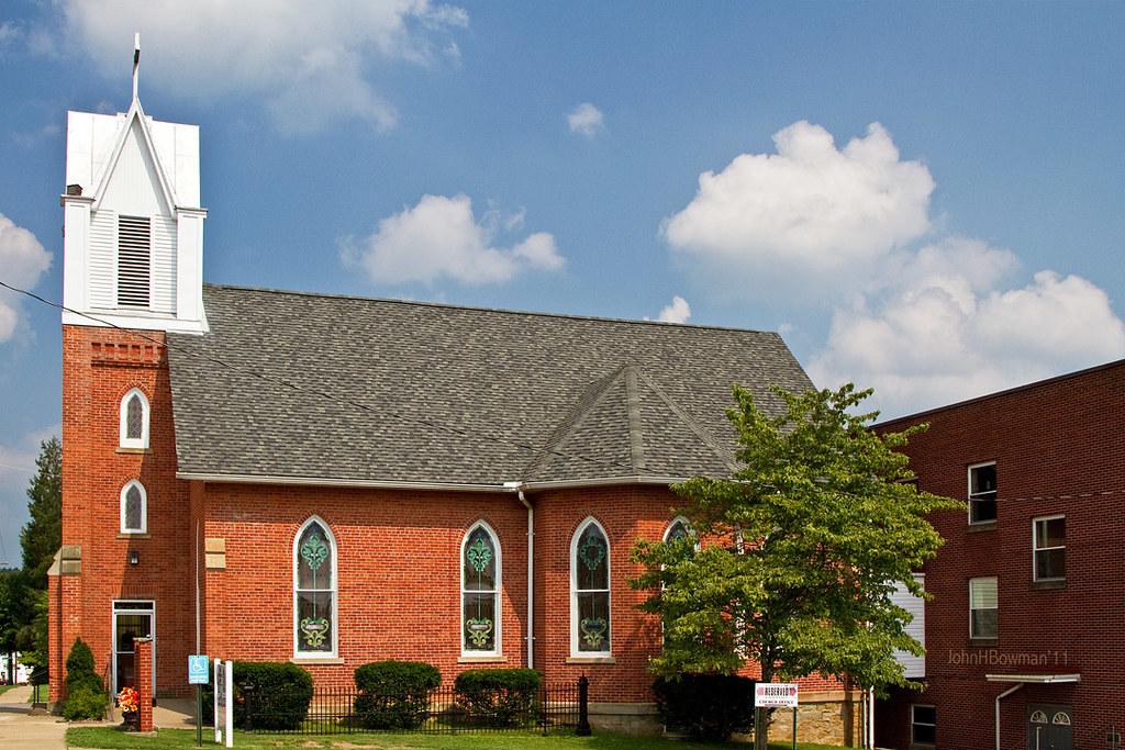
St. Luke's United Methodist Church
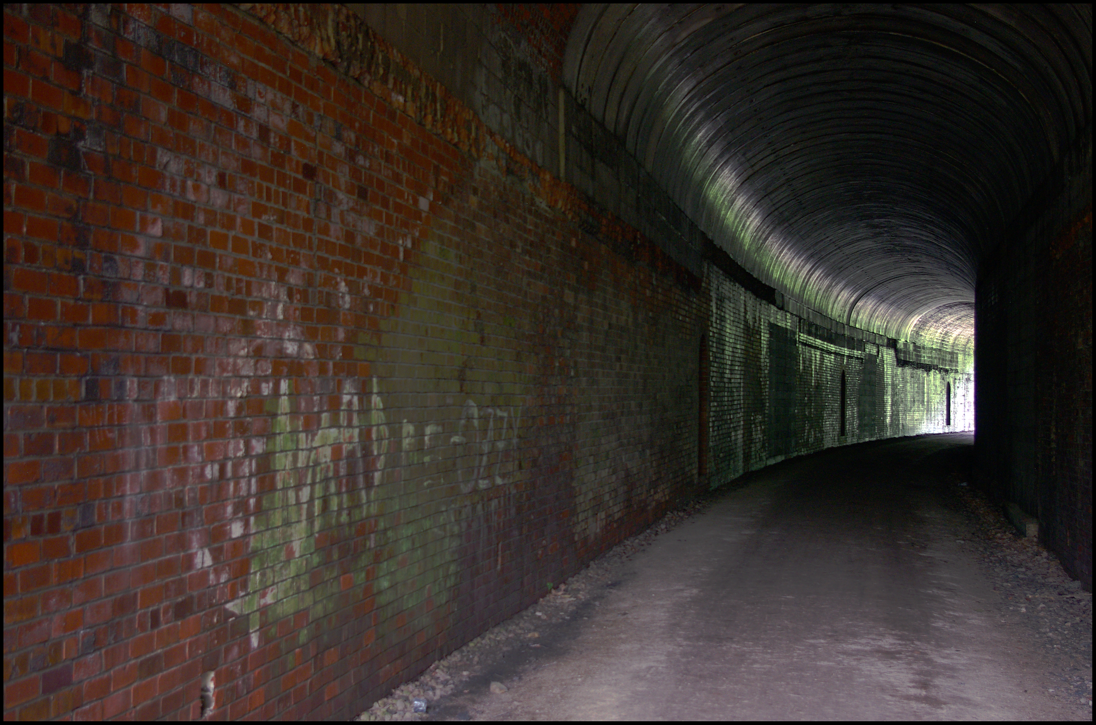
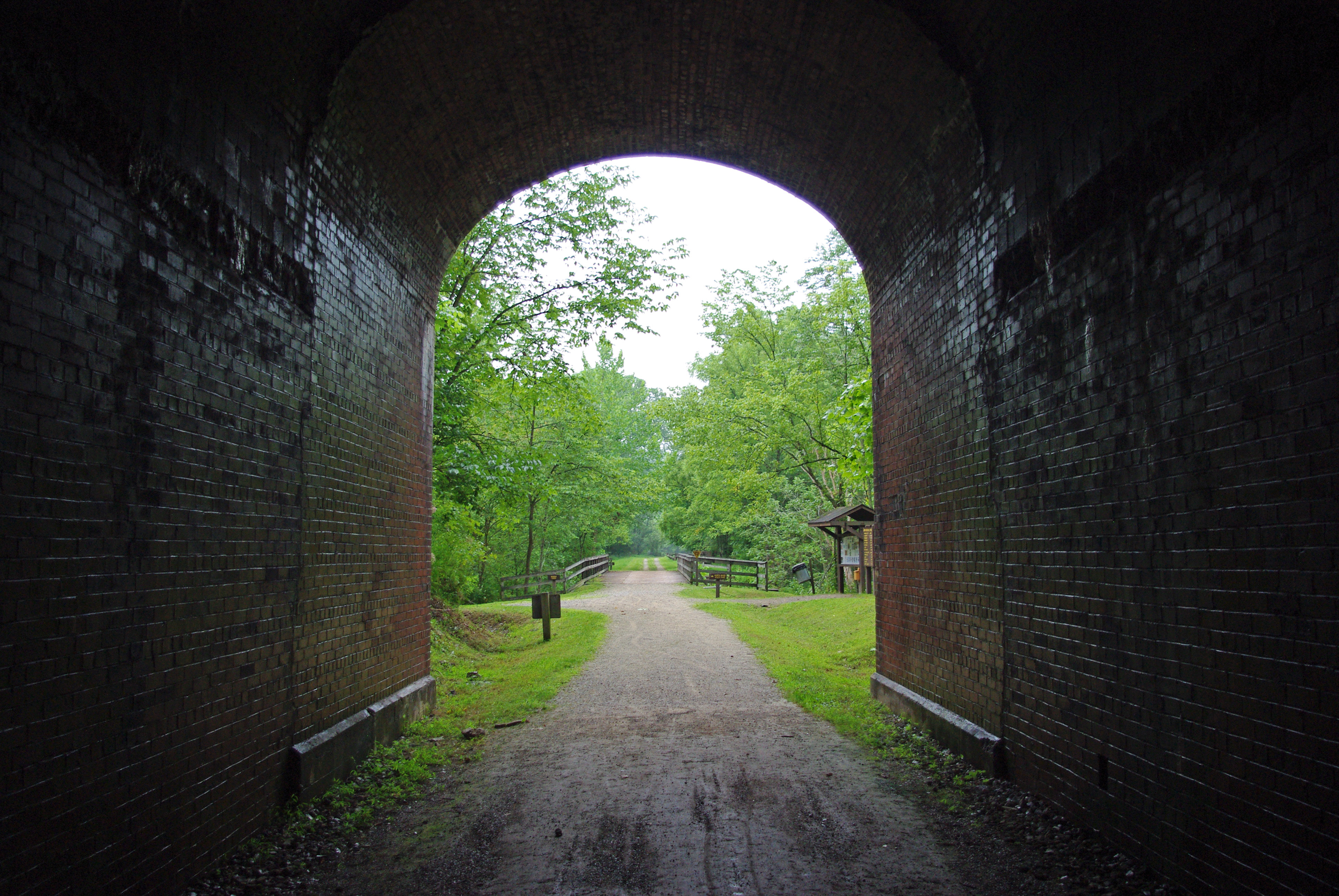
Tunnel 13 - North Bend Rail Trail - HDR 300
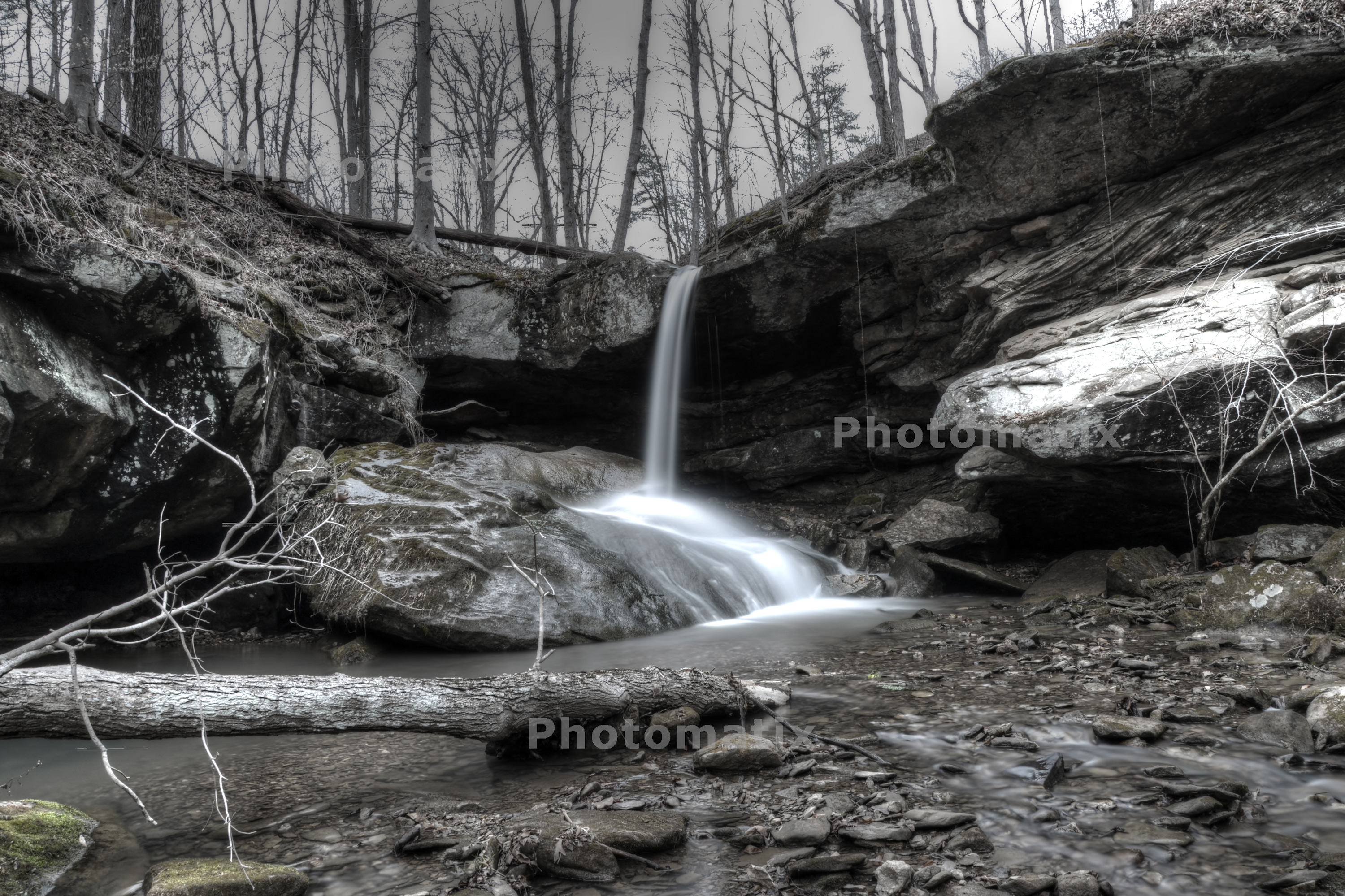
Photomatix HDR
Strike !
Vacation 2010 - p - 03 008-300
North Bend Rail Trail
Vacation 2010 - p - 03 016-300
Topographic Map of Co Rd 31/4, Cairo, WV, USA
Find elevation by address:

Places near Co Rd 31/4, Cairo, WV, USA:
Cairo
500 W Main St
424 W Main St
597 Thomas St
Pine Grove Rd, Cairo, WV, USA
103 W Main St
Harrisville
West Virginia Avenue
606 Ford St
Deer Run Road
Hale Street
710 Starr Ave
Ellenboro
211 Woodland Dr
Mt Dewey French Creek, St Marys, WV, USA
B
101 Cemetery Rd
30 Collins Ave, Pennsboro, WV, USA
Pennsboro
Clay
Recent Searches:
- Elevation of 15th Ave SE, St. Petersburg, FL, USA
- Elevation of Beall Road, Beall Rd, Florida, USA
- Elevation of Leguwa, Nepal
- Elevation of County Rd, Enterprise, AL, USA
- Elevation of Kolchuginsky District, Vladimir Oblast, Russia
- Elevation of Shustino, Vladimir Oblast, Russia
- Elevation of Lampiasi St, Sarasota, FL, USA
- Elevation of Elwyn Dr, Roanoke Rapids, NC, USA
- Elevation of Congressional Dr, Stevensville, MD, USA
- Elevation of Bellview Rd, McLean, VA, USA