Elevation of Cemetery Rd, Pennsboro, WV, USA
Location: United States > West Virginia > Ritchie County > Clay > Pennsboro >
Longitude: -80.981624
Latitude: 39.2822949
Elevation: 245m / 804feet
Barometric Pressure: 98KPa
Elevation Map:
Satellite Map:
Related Photos:

Common Merganser Pair
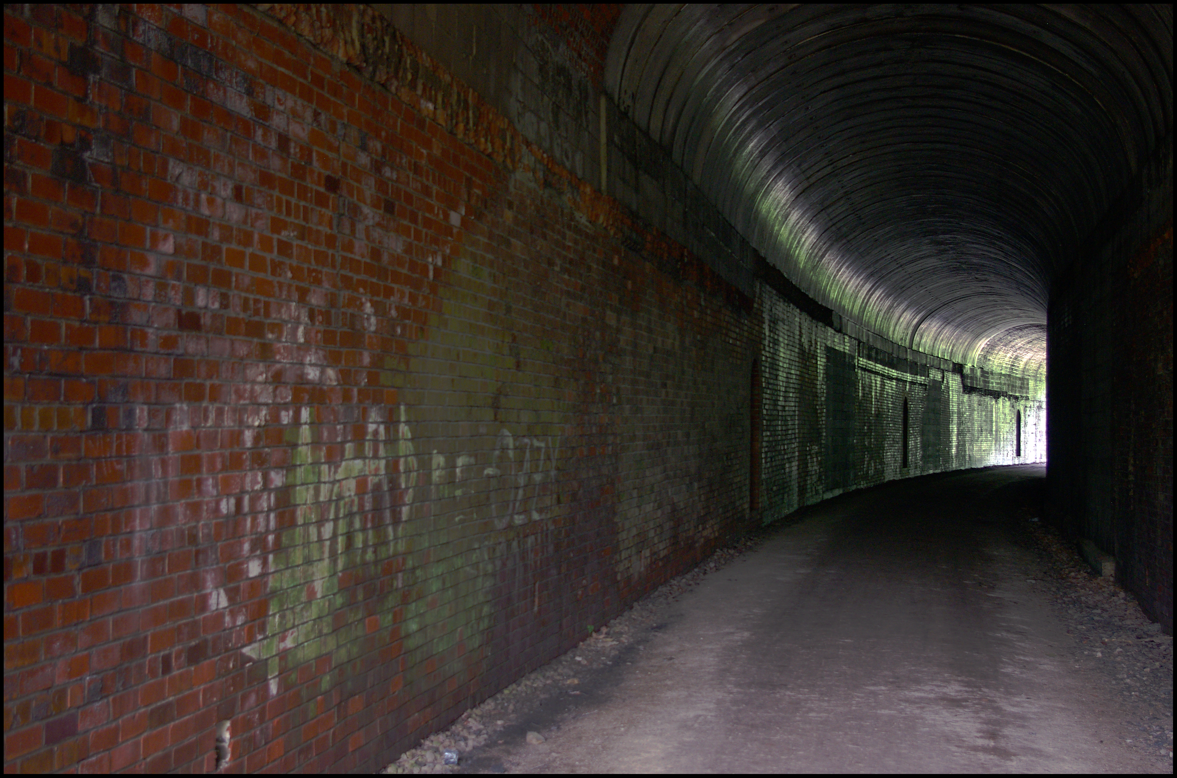
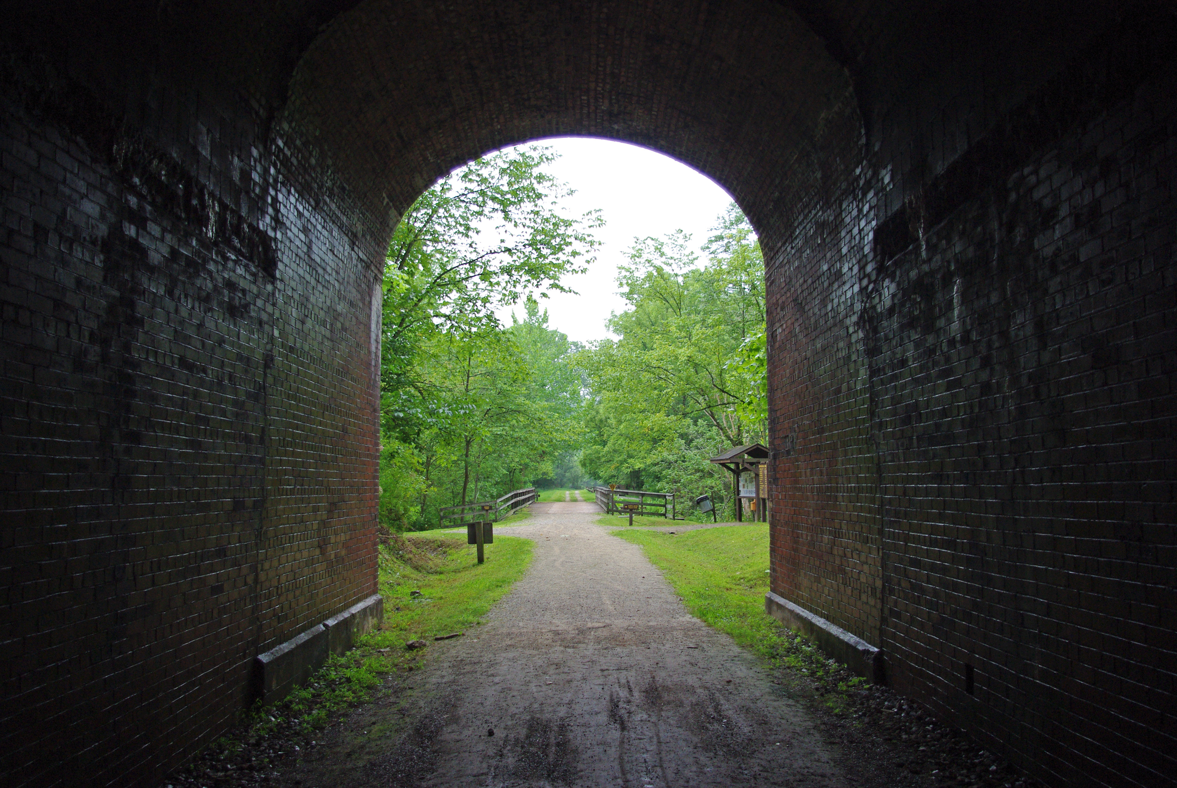
Tunnel 13 - North Bend Rail Trail - HDR 300

Ritchie County Courthouse
Vacation 2010 - p - 03 037-300
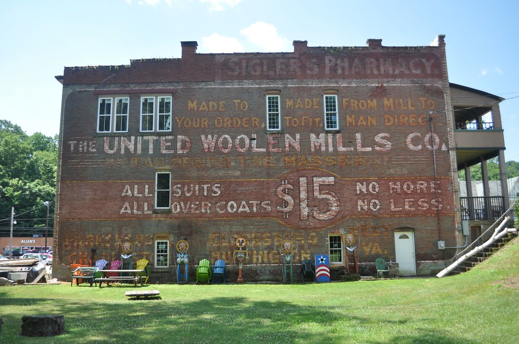
United Woolen Mills

Downtown Harrisville
Vacation 2010 - p - 03 008-300
2015-12-28 10.03.36
2015-12-27 10.52.52
2015-12-28 09.57.00
2015-12-28 09.56.53
2015-12-27 10.52.56
Vacation 2010 - p - 03 016-300
Topographic Map of Cemetery Rd, Pennsboro, WV, USA
Find elevation by address:

Places near Cemetery Rd, Pennsboro, WV, USA:
30 Collins Ave, Pennsboro, WV, USA
Pennsboro
Clay
211 Woodland Dr
Ellenboro
Hale Street
Greenwood
West Virginia Avenue
67 School St, Greenwood, WV, USA
710 Starr Ave
Harrisville
103 W Main St
606 Ford St
424 W Main St
500 W Main St
597 Thomas St
Mountain
Pine Grove Rd, Cairo, WV, USA
Mt Dewey French Creek, St Marys, WV, USA
Deer Run Road
Recent Searches:
- Elevation of Hercules Dr, Colorado Springs, CO, USA
- Elevation of Szlak pieszy czarny, Poland
- Elevation of Griffing Blvd, Biscayne Park, FL, USA
- Elevation of Kreuzburger Weg 13, Düsseldorf, Germany
- Elevation of Gateway Blvd SE, Canton, OH, USA
- Elevation of East W.T. Harris Boulevard, E W.T. Harris Blvd, Charlotte, NC, USA
- Elevation of West Sugar Creek, Charlotte, NC, USA
- Elevation of Wayland, NY, USA
- Elevation of Steadfast Ct, Daphne, AL, USA
- Elevation of Lagasgasan, X+CQH, Tiaong, Quezon, Philippines