Elevation of Pennsboro, WV, USA
Location: United States > West Virginia > Ritchie County > Clay >
Longitude: -80.968442
Latitude: 39.2850799
Elevation: 263m / 863feet
Barometric Pressure: 98KPa
Elevation Map:
Satellite Map:
Related Photos:
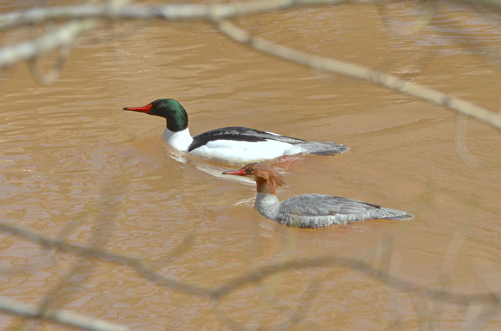
Common Merganser Pair
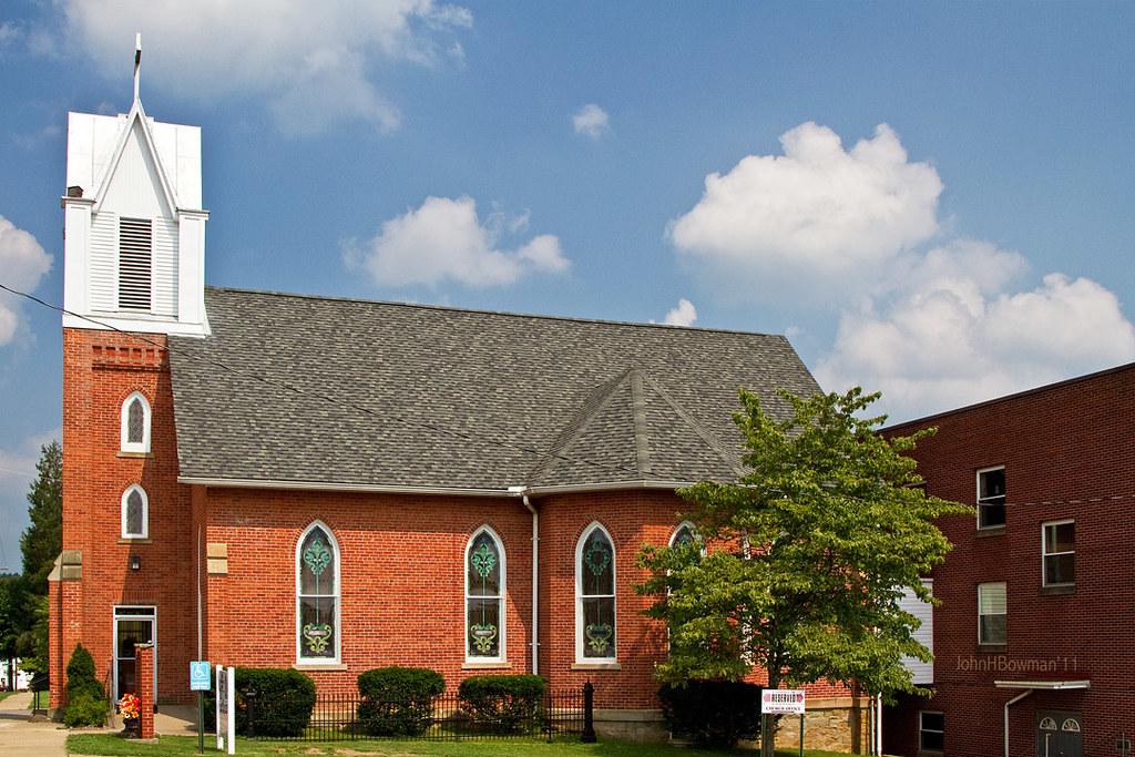
St. Luke's United Methodist Church
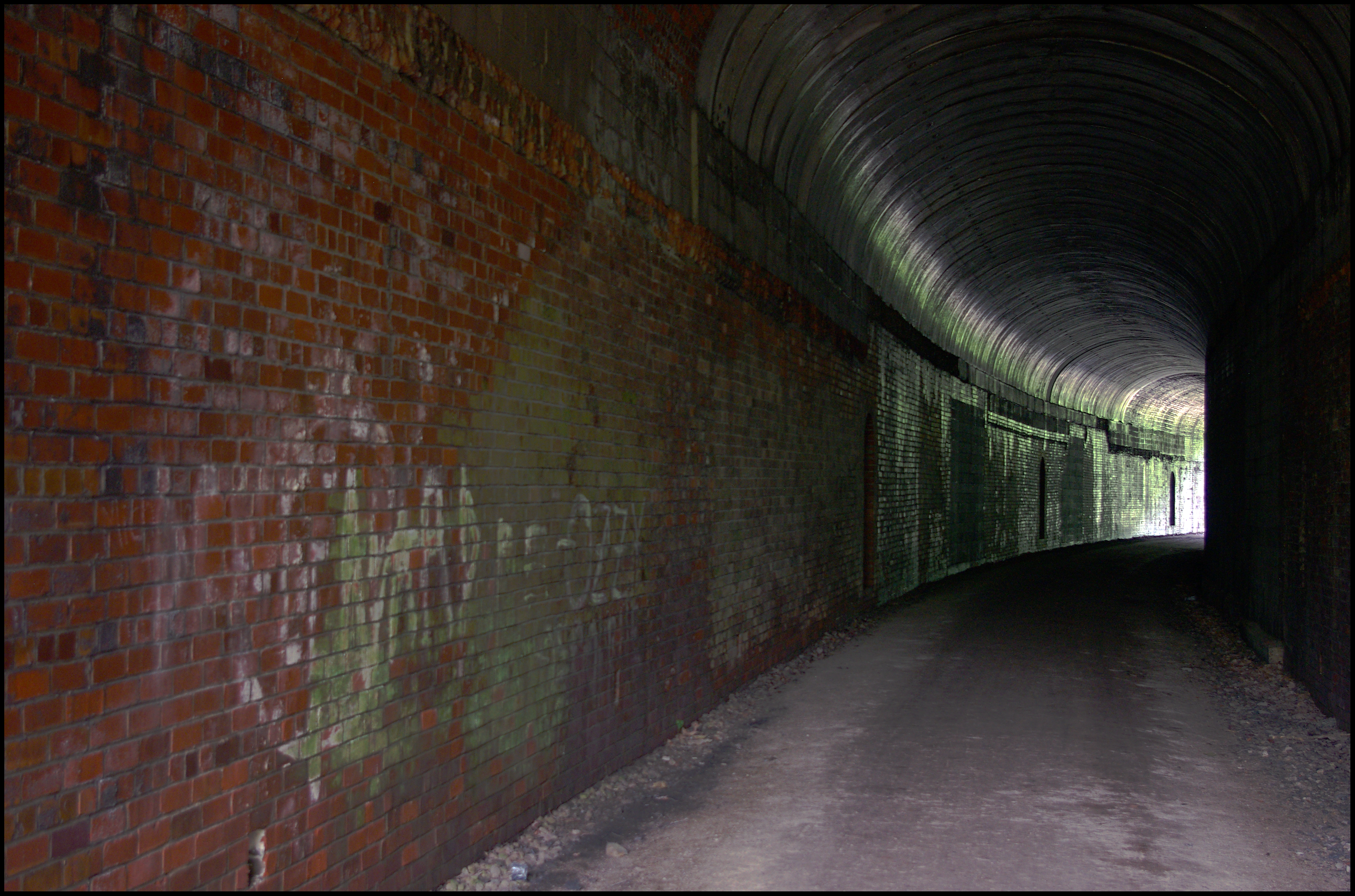
Tunnel 13 - North Bend Rail Trail - HDR 300
Vacation 2010 - p - 03 037-300
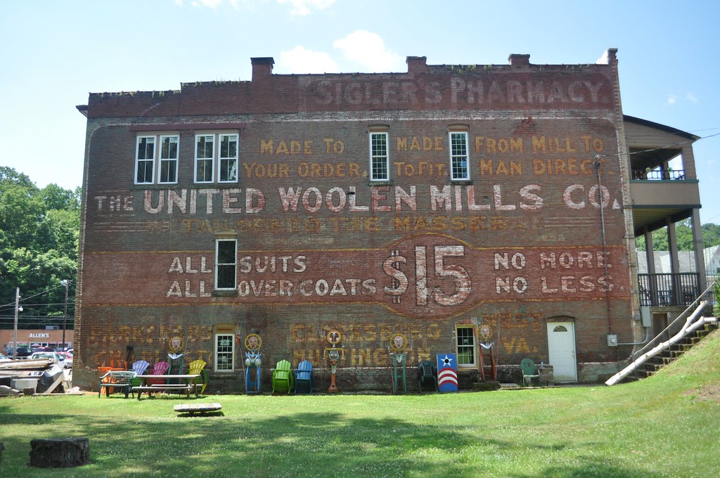
United Woolen Mills

Ritchie County Courthouse

Downtown Harrisville
Vacation 2010 - p - 03 016-300
Vacation 2010 - p - 03 008-300
2015-12-28 09.56.53
2015-12-28 09.57.00
2015-12-27 10.52.52
2015-12-28 10.03.36
2015-12-27 10.52.56
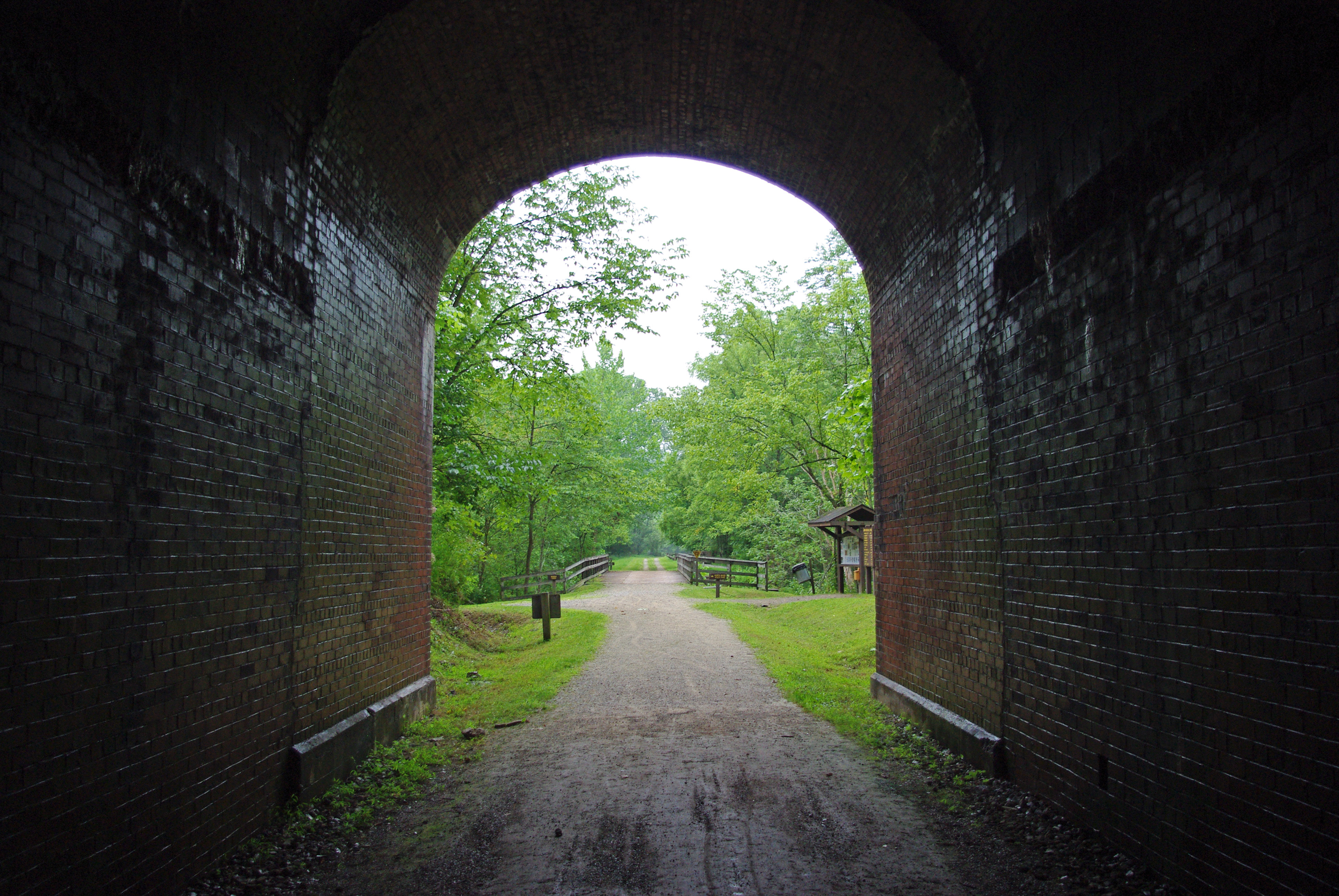
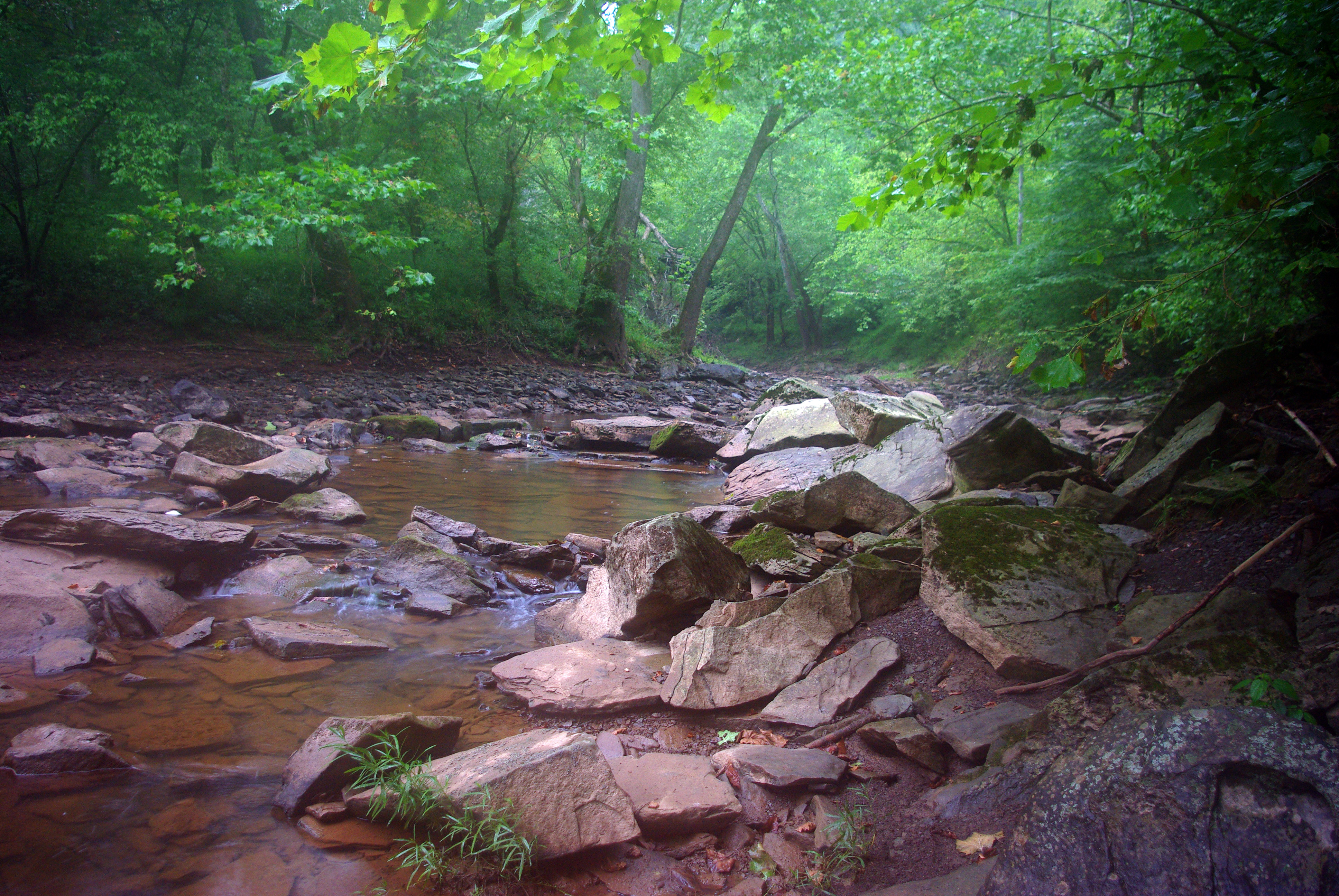
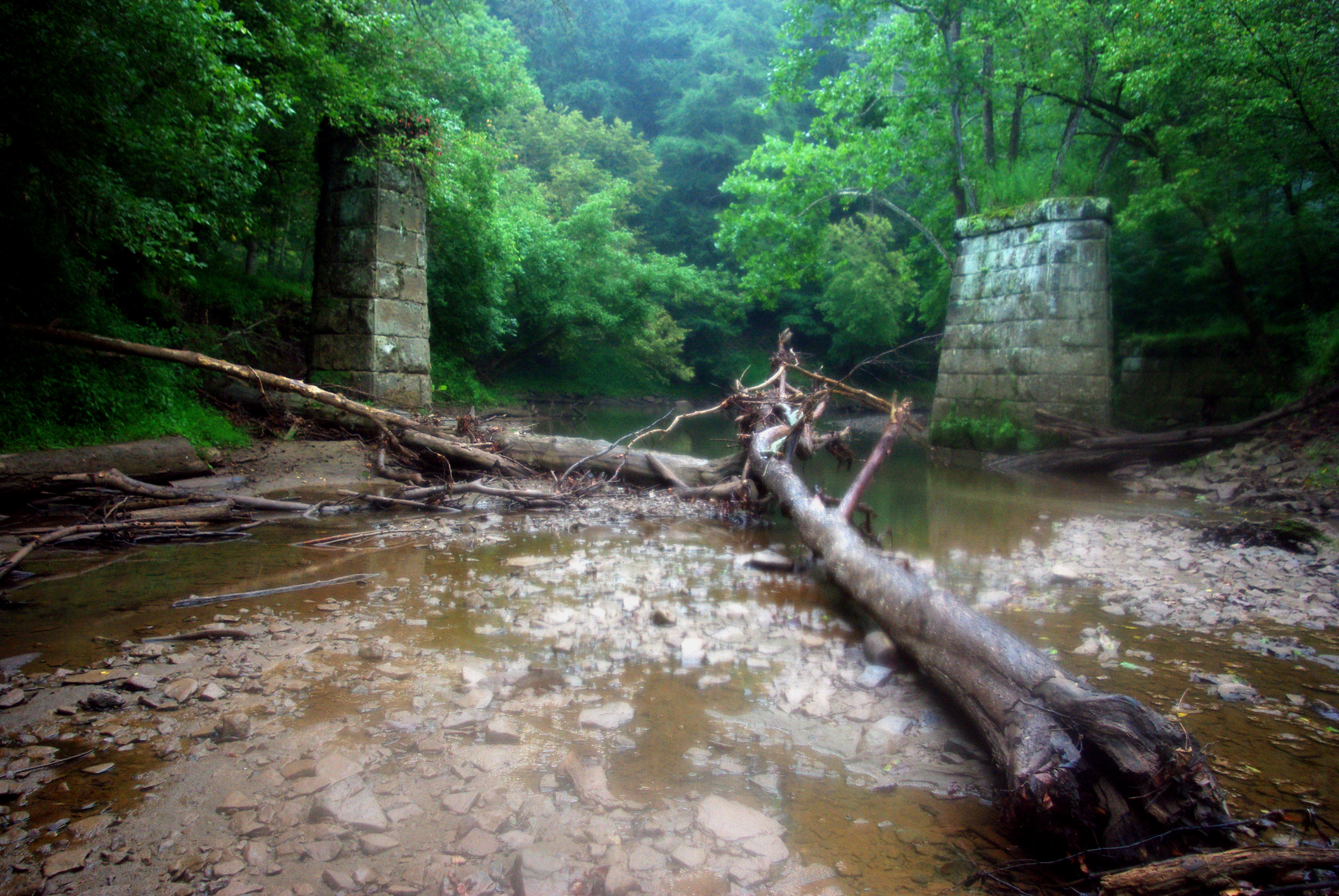
North Bend Rail Trail
Topographic Map of Pennsboro, WV, USA
Find elevation by address:

Places near Pennsboro, WV, USA:
30 Collins Ave, Pennsboro, WV, USA
Clay
101 Cemetery Rd
Greenwood
67 School St, Greenwood, WV, USA
211 Woodland Dr
Ellenboro
Mountain
Hale Street
West Virginia Avenue
710 Starr Ave
606 Ford St
Harrisville
103 W Main St
424 W Main St
500 W Main St
597 Thomas St
Pine Grove Rd, Cairo, WV, USA
Mt Dewey French Creek, St Marys, WV, USA
Deer Run Road
Recent Searches:
- Elevation of Elwyn Dr, Roanoke Rapids, NC, USA
- Elevation of Congressional Dr, Stevensville, MD, USA
- Elevation of Bellview Rd, McLean, VA, USA
- Elevation of Stage Island Rd, Chatham, MA, USA
- Elevation of Shibuya Scramble Crossing, 21 Udagawacho, Shibuya City, Tokyo -, Japan
- Elevation of Jadagoniai, Kaunas District Municipality, Lithuania
- Elevation of Pagonija rock, Kranto 7-oji g. 8"N, Kaunas, Lithuania
- Elevation of Co Rd 87, Jamestown, CO, USA
- Elevation of Tenjo, Cundinamarca, Colombia
- Elevation of Côte-des-Neiges, Montreal, QC H4A 3J6, Canada