Elevation of Greenwood, WV, USA
Location: United States > West Virginia > Doddridge County > Pine >
Longitude: -80.890662
Latitude: 39.2748037
Elevation: 255m / 837feet
Barometric Pressure: 98KPa
Elevation Map:
Satellite Map:
Related Photos:
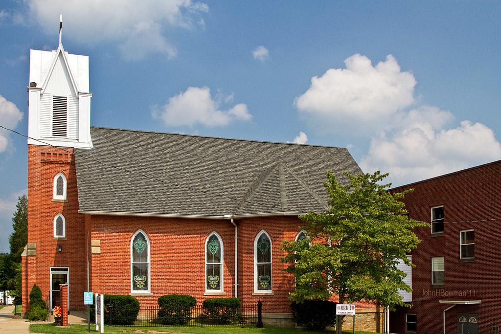
St. Luke's United Methodist Church
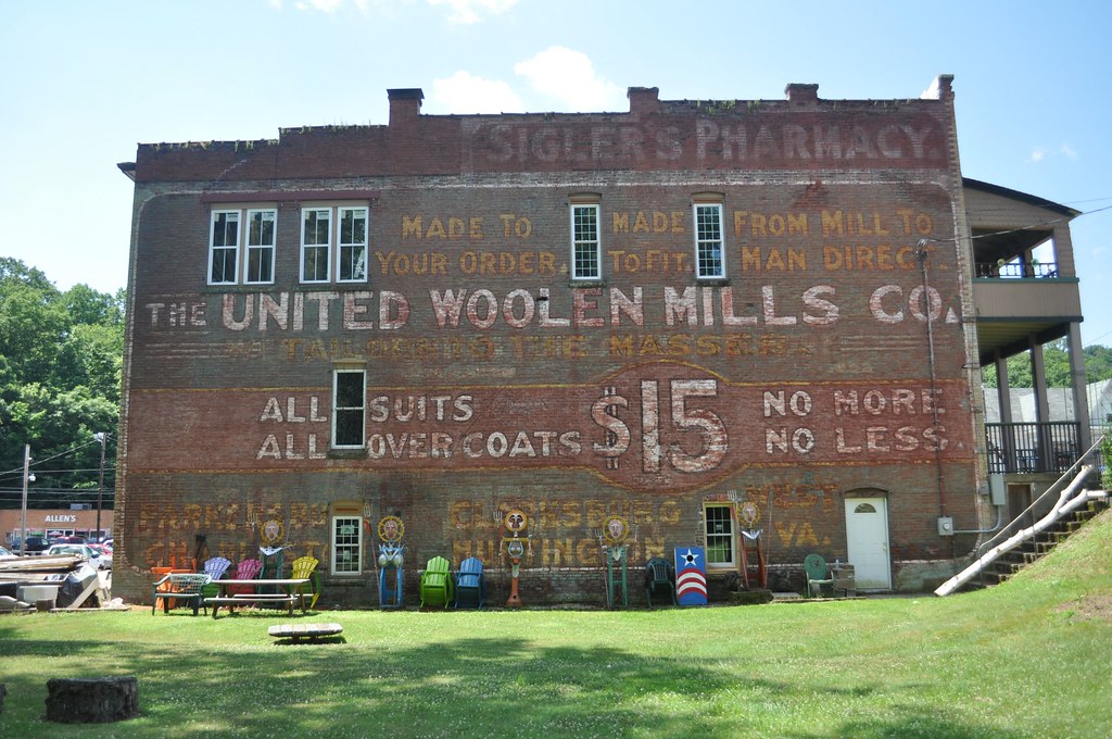
United Woolen Mills

Ritchie County Courthouse

Downtown Harrisville

IMG_20150418_122247_hdr
DSC_7586
img18
img16

IMG_20150418_122258_hdr

InstagramCapture_9d36a150-e5f3-4f19-ab36-e58c60e5758c

InstagramCapture_13656f56-3659-431a-956d-e2246c0a349a

InstagramCapture_08d33427-1a11-4cea-93ad-6dde28772389

InstagramCapture_f627741b-f42e-45a1-a476-45fe84df38c5

InstagramCapture_f627741b-f42e-45a1-a476-45fe84df38c5

InstagramCapture_9d36a150-e5f3-4f19-ab36-e58c60e5758c

InstagramCapture_08d33427-1a11-4cea-93ad-6dde28772389

InstagramCapture_f627741b-f42e-45a1-a476-45fe84df38c5

InstagramCapture_9d36a150-e5f3-4f19-ab36-e58c60e5758c

InstagramCapture_9d36a150-e5f3-4f19-ab36-e58c60e5758c

InstagramCapture_13656f56-3659-431a-956d-e2246c0a349a

InstagramCapture_f627741b-f42e-45a1-a476-45fe84df38c5

InstagramCapture_f627741b-f42e-45a1-a476-45fe84df38c5

InstagramCapture_08d33427-1a11-4cea-93ad-6dde28772389

InstagramCapture_9d36a150-e5f3-4f19-ab36-e58c60e5758c

InstagramCapture_22b0a703-a80b-4866-bd20-d35b7a1c2d7e

WP_20150809_022(2)

WP_20150809_020(4)

InstagramCapture_f627741b-f42e-45a1-a476-45fe84df38c5

WP_20150809_022(1)

InstagramCapture_22b0a703-a80b-4866-bd20-d35b7a1c2d7e
Topographic Map of Greenwood, WV, USA
Find elevation by address:

Places in Greenwood, WV, USA:
Places near Greenwood, WV, USA:
67 School St, Greenwood, WV, USA
Clay
Pennsboro
30 Collins Ave, Pennsboro, WV, USA
Mountain
101 Cemetery Rd
211 Woodland Dr
Hale Street
Ellenboro
West Virginia Avenue
710 Starr Ave
606 Ford St
Harrisville
103 W Main St
424 W Main St
597 Thomas St
500 W Main St
Pine Grove Rd, Cairo, WV, USA
Mt Dewey French Creek, St Marys, WV, USA
Cairo
Recent Searches:
- Elevation of Corso Fratelli Cairoli, 35, Macerata MC, Italy
- Elevation of Tallevast Rd, Sarasota, FL, USA
- Elevation of 4th St E, Sonoma, CA, USA
- Elevation of Black Hollow Rd, Pennsdale, PA, USA
- Elevation of Oakland Ave, Williamsport, PA, USA
- Elevation of Pedrógão Grande, Portugal
- Elevation of Klee Dr, Martinsburg, WV, USA
- Elevation of Via Roma, Pieranica CR, Italy
- Elevation of Tavkvetili Mountain, Georgia
- Elevation of Hartfords Bluff Cir, Mt Pleasant, SC, USA