Elevation of Macfarlan, WV, USA
Location: United States > West Virginia > Ritchie County > Murphy >
Longitude: -81.198725
Latitude: 39.0778582
Elevation: 199m / 653feet
Barometric Pressure: 99KPa
Elevation Map:
Satellite Map:
Related Photos:

Peek-a-boo Barn

Two Keyboards

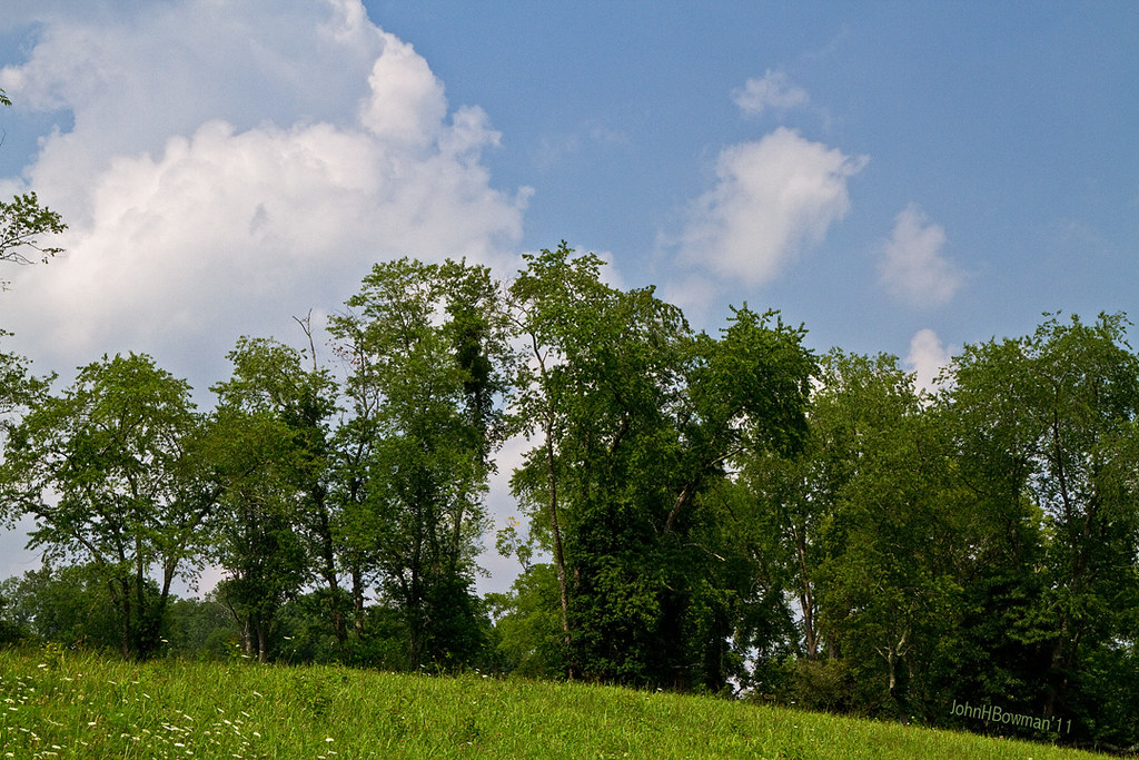
Summer Day Landscape
Summer Beauty

Panorama: WV Gas Station

The North Fork [of the] Hughes River, which maybe some people have noticed shown as a squiggly blue line on their maps of West Virginia.

Strike !

Photomatix HDR
Topographic Map of Macfarlan, WV, USA
Find elevation by address:

Places in Macfarlan, WV, USA:
Places near Macfarlan, WV, USA:
Laurel Run
Brohard
West Virginia 47
Racy Rd, Petroleum, WV, USA
Munday
Munday Rd, Munday, WV, USA
5 Mile Run
Staunton Tpke, Petroleum, WV, USA
Murphy
Grant
Big Bend
Cokeley Ridge Rd, Harrisville, WV, USA
259 Co Rd 31/4
Petroleum
Cairo
Creston, WV, USA
Creston
4664 Leatherbark Rd
Glendale Rd, Cairo, WV, USA
Sanoma Rd, Palestine, WV, USA
Recent Searches:
- Elevation of N, Mt Pleasant, UT, USA
- Elevation of 6 Rue Jules Ferry, Beausoleil, France
- Elevation of Sattva Horizon, 4JC6+G9P, Vinayak Nagar, Kattigenahalli, Bengaluru, Karnataka, India
- Elevation of Great Brook Sports, Gold Star Hwy, Groton, CT, USA
- Elevation of 10 Mountain Laurels Dr, Nashua, NH, USA
- Elevation of 16 Gilboa Ln, Nashua, NH, USA
- Elevation of Laurel Rd, Townsend, TN, USA
- Elevation of 3 Nestling Wood Dr, Long Valley, NJ, USA
- Elevation of Ilungu, Tanzania
- Elevation of Yellow Springs Road, Yellow Springs Rd, Chester Springs, PA, USA