Elevation of Haramosh
Longitude: 74.8976612
Latitude: 35.8405686
Elevation: 6758m / 22172feet
Barometric Pressure: 42KPa
Elevation Map:
Satellite Map:
Related Photos:
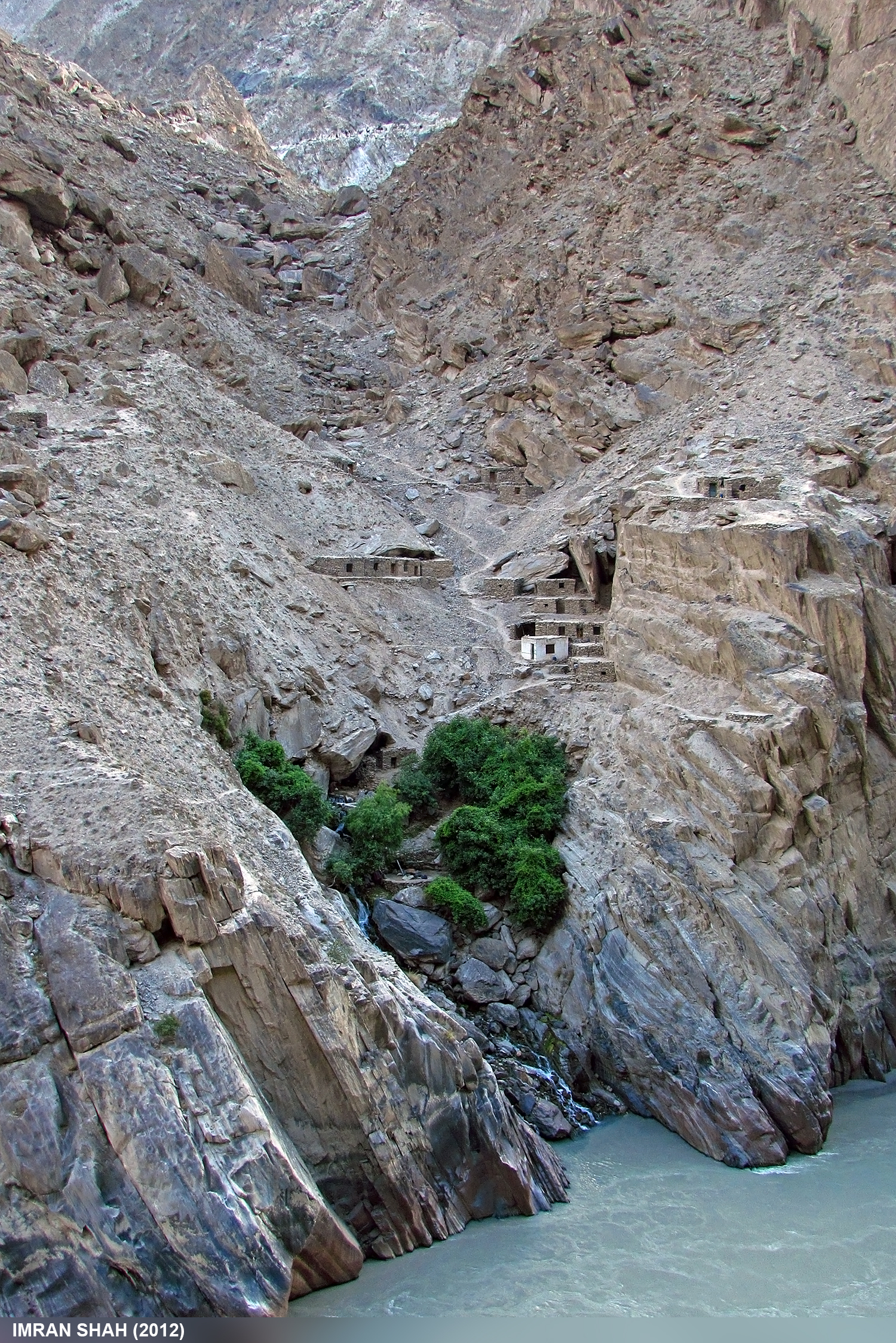
Gemstone Miner Settlement in Rondu
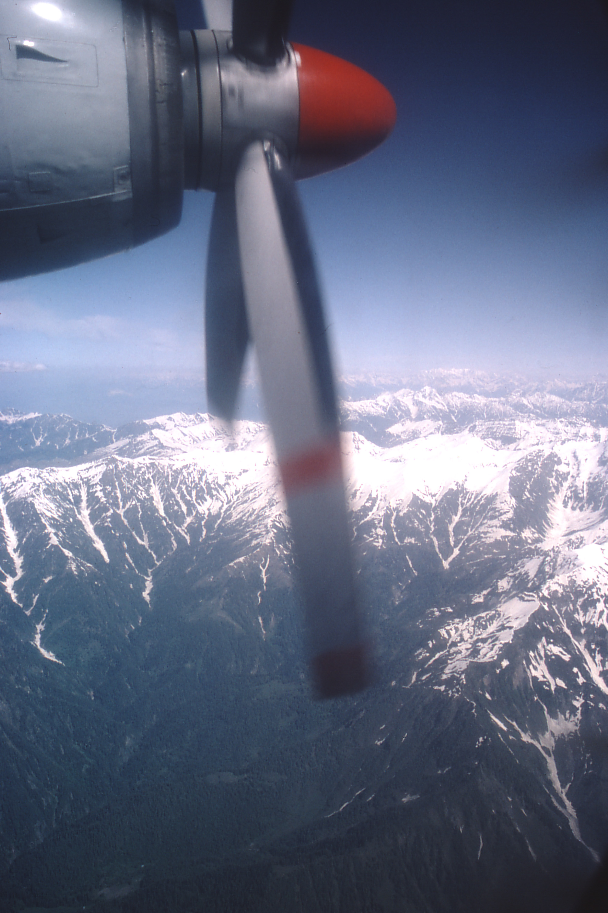
Kashmir 1983
Topographic Map of Haramosh
Find elevation by address:

Places near Haramosh:
Gilgit-baltistan
Malubiting
Spantik
Bilchhar Dobani
Indus-gilgit Confluence
Bunji
Jaglot
Rush Lake
Harpoh
Diran
Hopar Valley
Hispar Glacier
Nagar Khas
Kunyang Chhish
Attabad Lake
Trivor
Astore
Momhil Sar
Rama Meadows
Pumari Chhish
Recent Searches:
- Elevation of Corso Fratelli Cairoli, 35, Macerata MC, Italy
- Elevation of Tallevast Rd, Sarasota, FL, USA
- Elevation of 4th St E, Sonoma, CA, USA
- Elevation of Black Hollow Rd, Pennsdale, PA, USA
- Elevation of Oakland Ave, Williamsport, PA, USA
- Elevation of Pedrógão Grande, Portugal
- Elevation of Klee Dr, Martinsburg, WV, USA
- Elevation of Via Roma, Pieranica CR, Italy
- Elevation of Tavkvetili Mountain, Georgia
- Elevation of Hartfords Bluff Cir, Mt Pleasant, SC, USA