Elevation of Diran
Longitude: 74.6611977
Latitude: 36.1206822
Elevation: 4339m / 14236feet
Barometric Pressure: 59KPa
Elevation Map:
Satellite Map:
Related Photos:
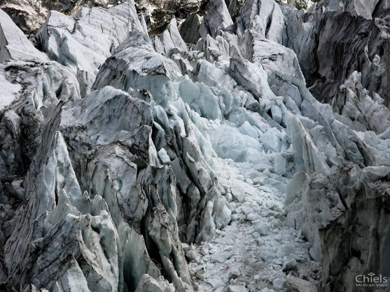
Close view of the ice.
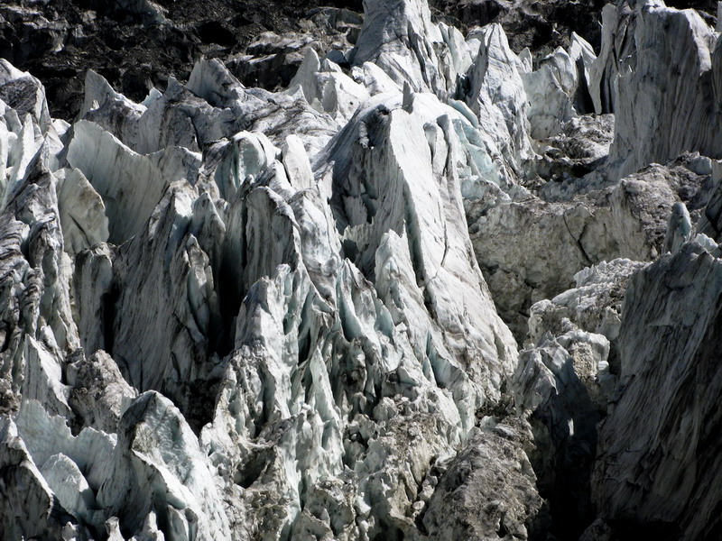
The ice mountain in the glacier
Topographic Map of Diran
Find elevation by address:

Places near Diran:
Hopar Valley
Minapin
Nagar Khas
Bilchhar Dobani
Hunza River
Ptdc Motel, Hunza
Hunza Valley
Hunza Embassy Hotel
Darbar Hotel
Hunza Serena Inn
Mulberry Hotel
Cafe De Hunza
Baltit Fort
Karimabad
Hunza View Hotel
Rush Lake
Malubiting
Hunza Nagar
Attabad Lake
Spantik
Recent Searches:
- Elevation of Corso Fratelli Cairoli, 35, Macerata MC, Italy
- Elevation of Tallevast Rd, Sarasota, FL, USA
- Elevation of 4th St E, Sonoma, CA, USA
- Elevation of Black Hollow Rd, Pennsdale, PA, USA
- Elevation of Oakland Ave, Williamsport, PA, USA
- Elevation of Pedrógão Grande, Portugal
- Elevation of Klee Dr, Martinsburg, WV, USA
- Elevation of Via Roma, Pieranica CR, Italy
- Elevation of Tavkvetili Mountain, Georgia
- Elevation of Hartfords Bluff Cir, Mt Pleasant, SC, USA