Elevation map of Greenlee County, AZ, USA
Location: United States > Arizona >
Longitude: -109.28315
Latitude: 33.2405598
Elevation: 1656m / 5433feet
Barometric Pressure: 83KPa
Elevation Map:
Satellite Map:
Related Photos:
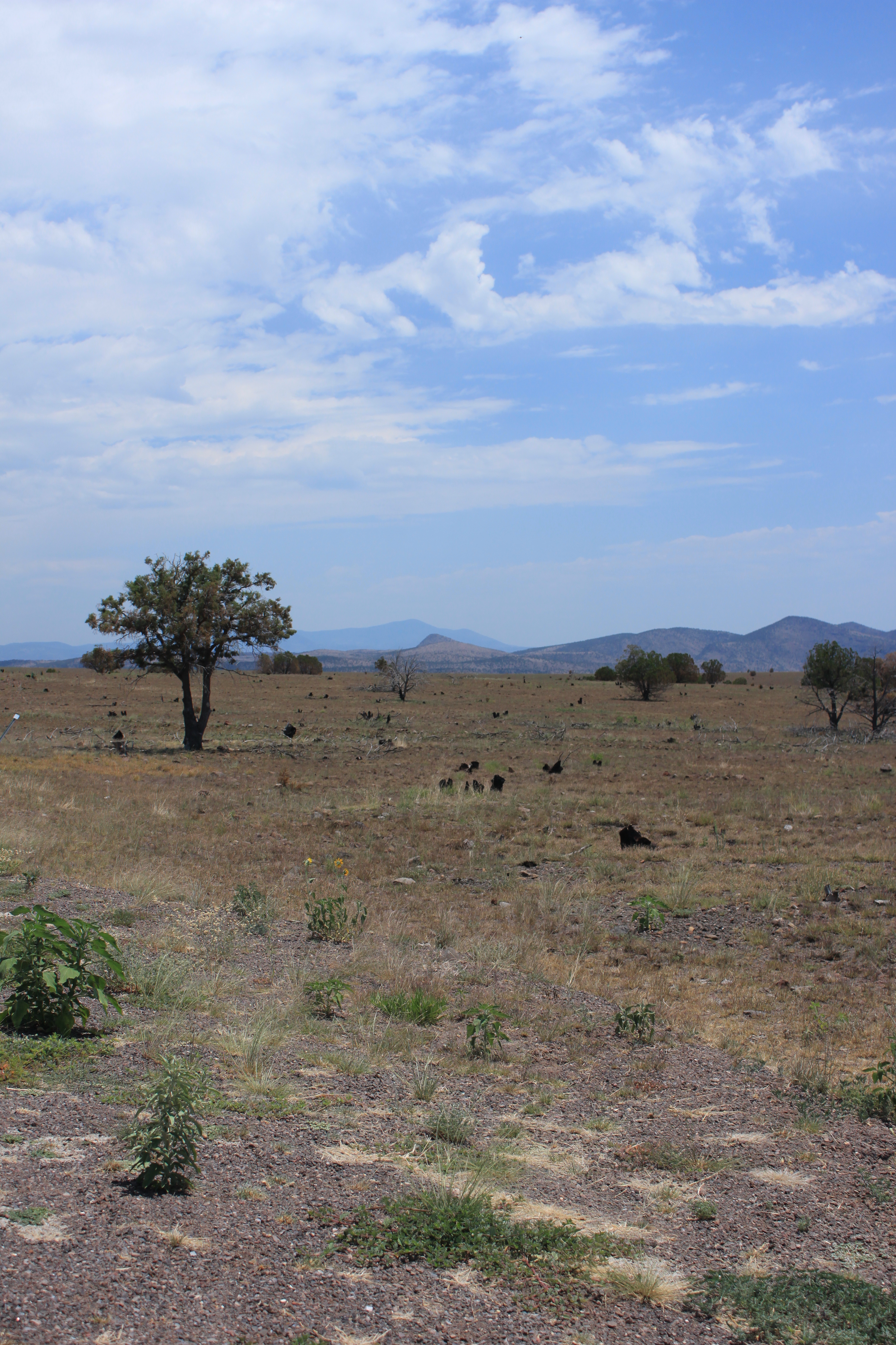
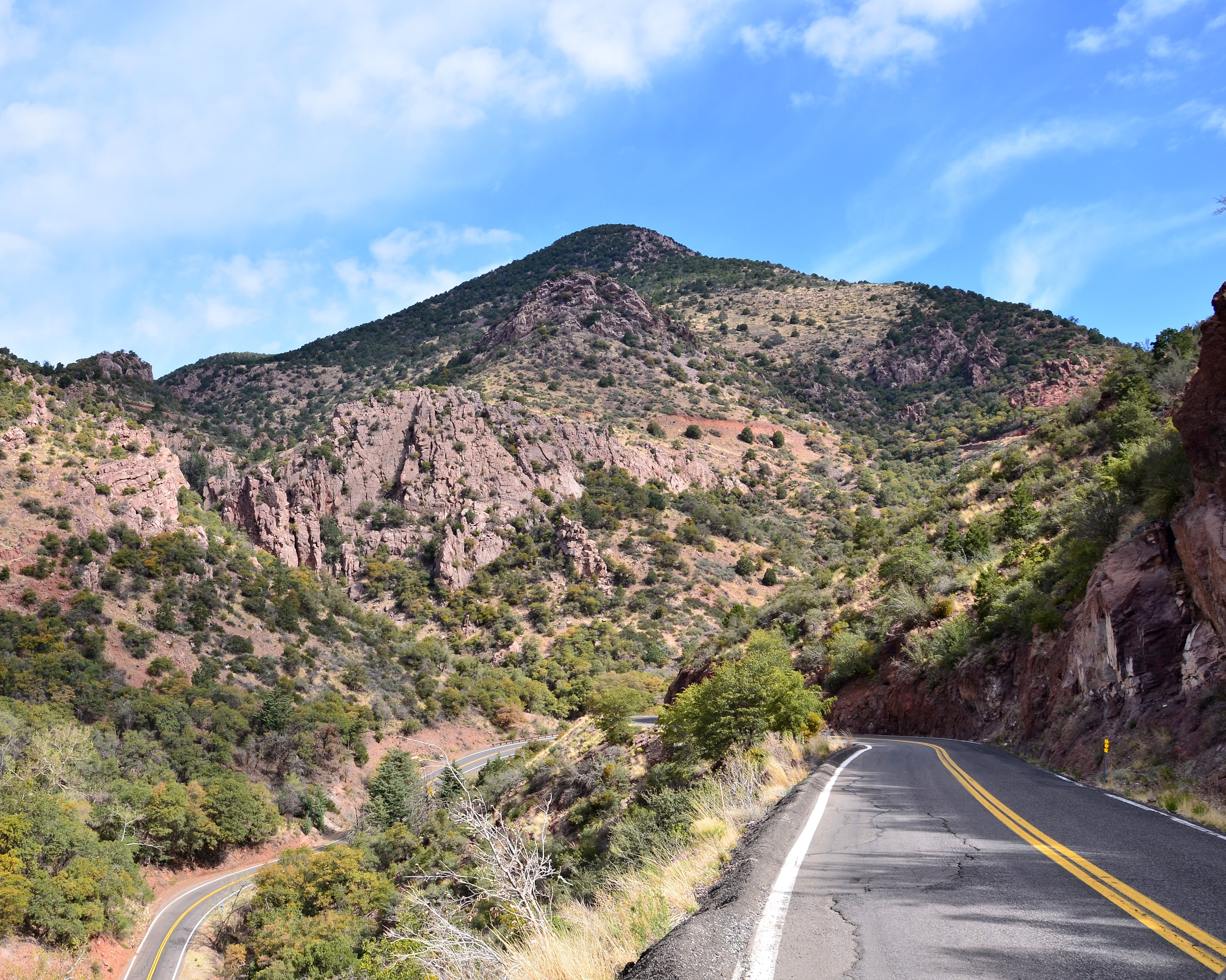
Coronado Trail, US Route 191 Scenic Byway - Arizona
Going Out In Style

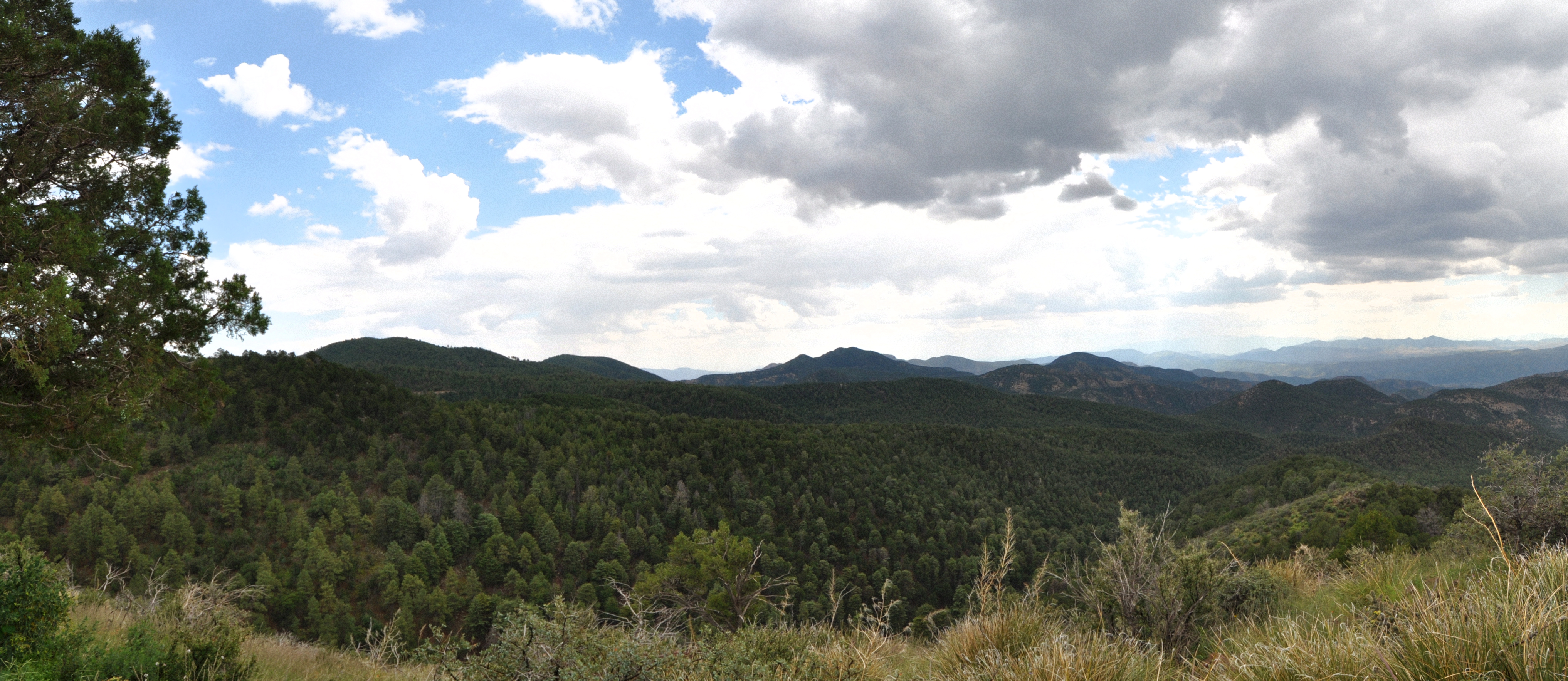
Eastern Arizona Panorama
Prickly Buds

040514-917F

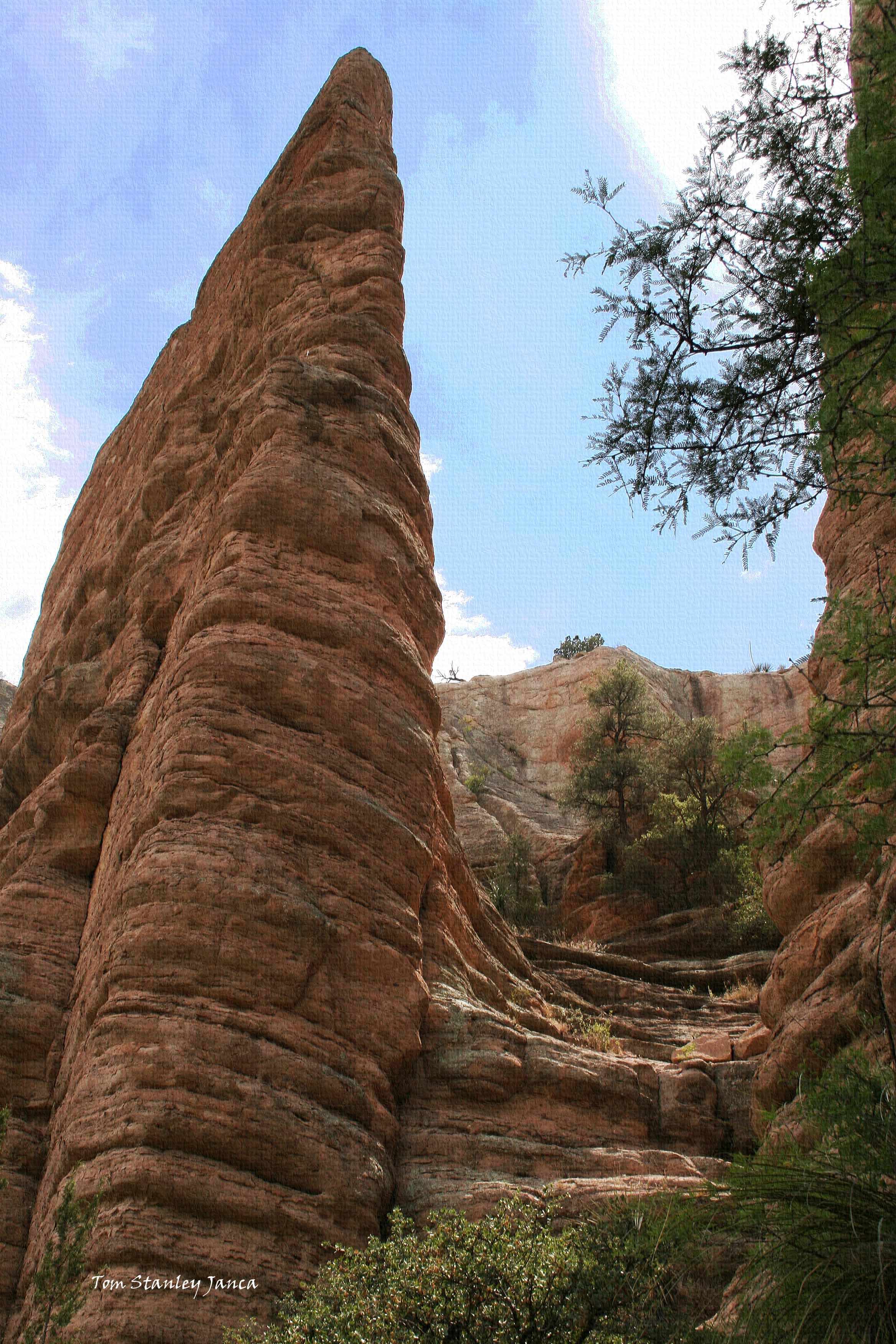
Chase Creek Vista
HWY. 78

HWY. 191

IMG_2101-Edit.jpg

Chase Creek Vista

Chase Creek Vista

IMG_2170-Edit.jpg

US191 - Curves R Us
Coronado Highway

Coronado Trail, US Route 191 Scenic Byway - Arizona

Coronado Trail, US Route 191 Scenic Byway - Arizona
At Blue River Crossing

Thunderstorm over The Coronado Trail
Vista Point on The Coronado Trail

Chase Creek Vista
1992 NAU Geology Field Camp
040514-914F

Devil's Highway, Arizona
Topographic Map of Greenlee County, AZ, USA
Find elevation by address:

Places in Greenlee County, AZ, USA:
Places near Greenlee County, AZ, USA:
125 Park Ave
United States Postal Service
30 Coronado Blvd, Clifton, AZ, USA
Clifton
Maple Peak
831 Bobcat Dr
Guthrie
Turtle Mountain
Mcmullen Peak
Mule Creek
Winchester Peak
Tillie Hall Peak
1368 Brushy Mountain Rd
Outlaw Mountain
Yellowjacket Peak
Hannagan Meadow
Alma
Sundial Mountain
Glenwood
Brushy Mountain
Recent Searches:
- Elevation of Corso Fratelli Cairoli, 35, Macerata MC, Italy
- Elevation of Tallevast Rd, Sarasota, FL, USA
- Elevation of 4th St E, Sonoma, CA, USA
- Elevation of Black Hollow Rd, Pennsdale, PA, USA
- Elevation of Oakland Ave, Williamsport, PA, USA
- Elevation of Pedrógão Grande, Portugal
- Elevation of Klee Dr, Martinsburg, WV, USA
- Elevation of Via Roma, Pieranica CR, Italy
- Elevation of Tavkvetili Mountain, Georgia
- Elevation of Hartfords Bluff Cir, Mt Pleasant, SC, USA