Elevation of Turtle Mountain, Arizona, USA
Location: United States > Arizona > Graham County >
Longitude: -109.51479
Latitude: 33.0342279
Elevation: 2105m / 6906feet
Barometric Pressure: 78KPa
Elevation Map:
Satellite Map:
Related Photos:
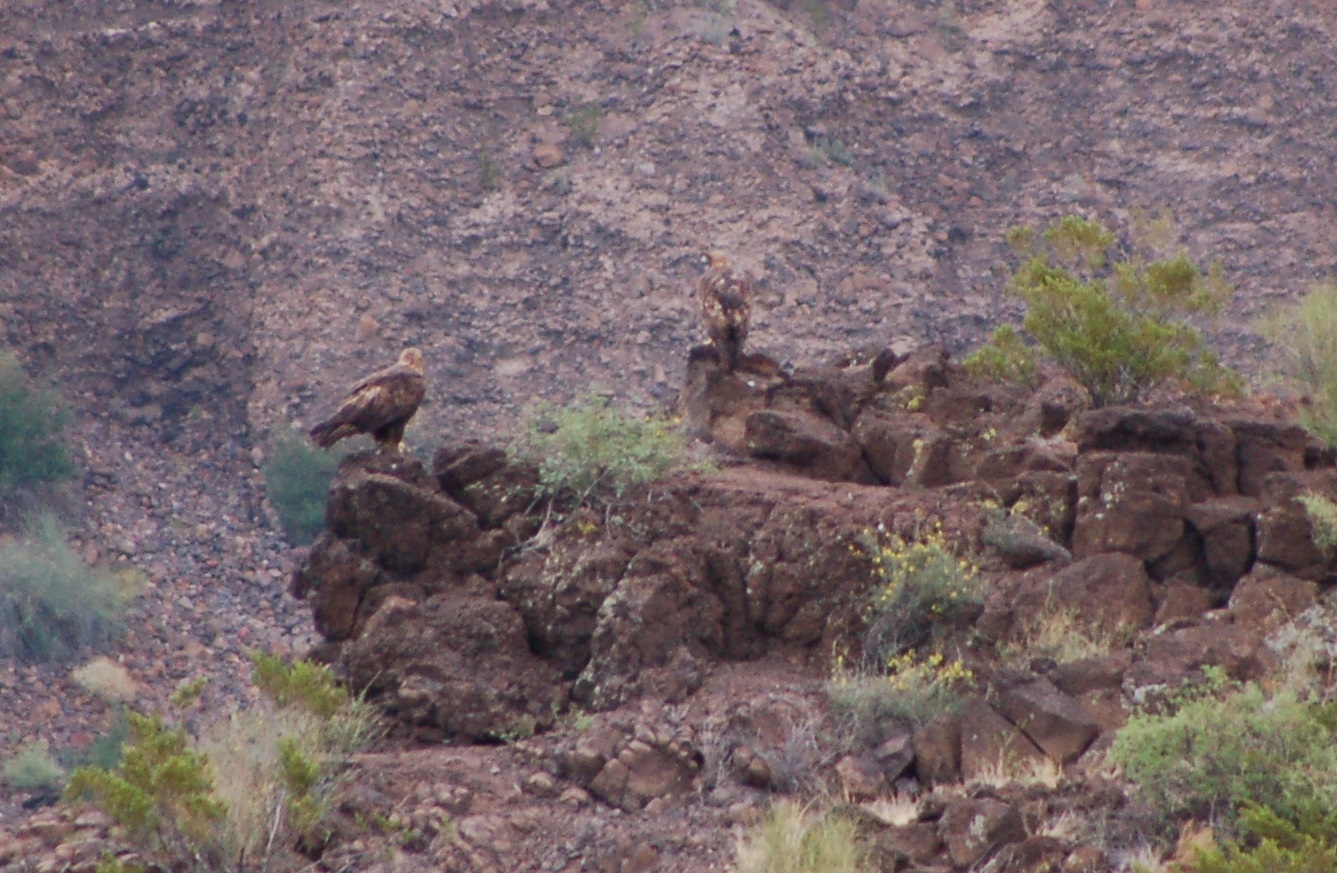
Golden Eagle.3
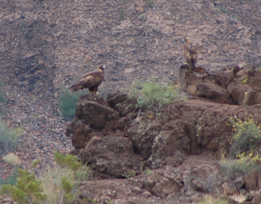
Golden Eagle.1
Topographic Map of Turtle Mountain, Arizona, USA
Find elevation by address:

Places near Turtle Mountain, Arizona, USA:
E Buena Vista Rd, Safford, AZ, USA
United States Postal Service
125 Park Ave
Clifton
30 Coronado Blvd, Clifton, AZ, USA
S Church St, Safford, AZ, USA
South Larson Lane
Solomon
E Clifton St, Solomon, AZ, USA
831 Bobcat Dr
E Hollywood Rd, Safford, AZ, USA
Guthrie
5334 Foote Ave
Greenlee County
10250 Sky Blue Rd
Burma Road
Mcmullen Peak
Winchester Peak
Tillie Hall Peak
Duncan
Recent Searches:
- Elevation of Corso Fratelli Cairoli, 35, Macerata MC, Italy
- Elevation of Tallevast Rd, Sarasota, FL, USA
- Elevation of 4th St E, Sonoma, CA, USA
- Elevation of Black Hollow Rd, Pennsdale, PA, USA
- Elevation of Oakland Ave, Williamsport, PA, USA
- Elevation of Pedrógão Grande, Portugal
- Elevation of Klee Dr, Martinsburg, WV, USA
- Elevation of Via Roma, Pieranica CR, Italy
- Elevation of Tavkvetili Mountain, Georgia
- Elevation of Hartfords Bluff Cir, Mt Pleasant, SC, USA