Elevation of Hannagan Meadow, AZ, USA
Location: United States > Arizona > Greenlee County >
Longitude: -109.32910
Latitude: 33.636639
Elevation: 2796m / 9173feet
Barometric Pressure: 72KPa
Elevation Map:
Satellite Map:
Related Photos:
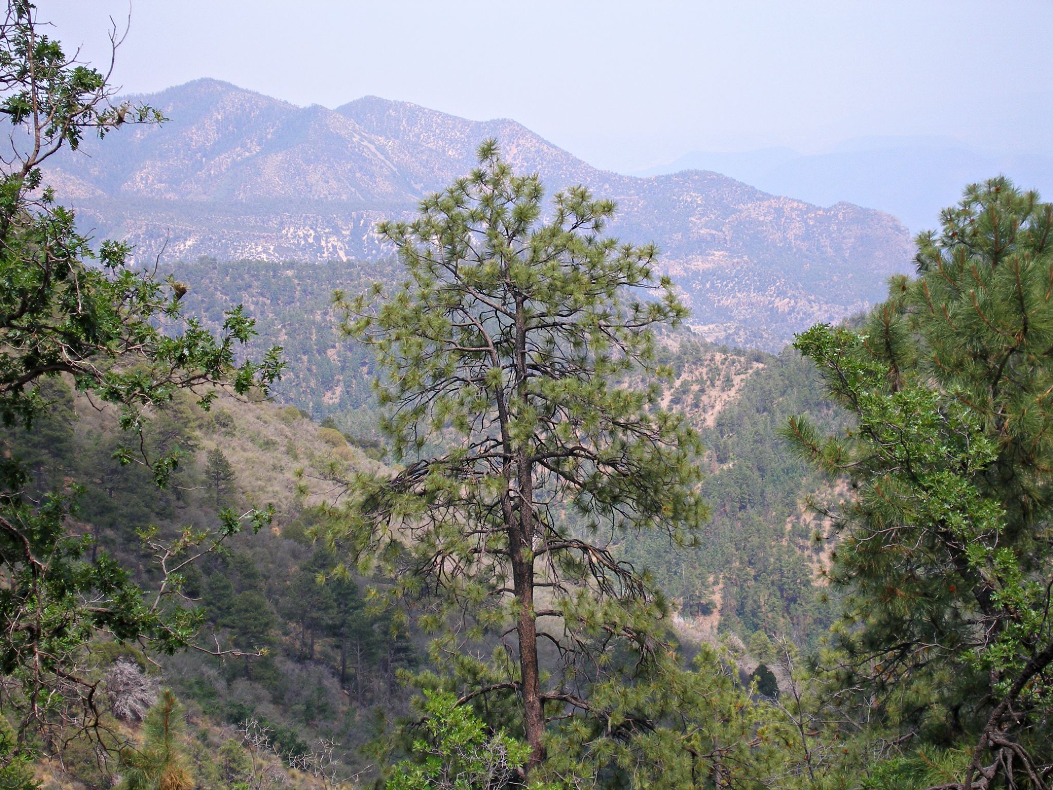
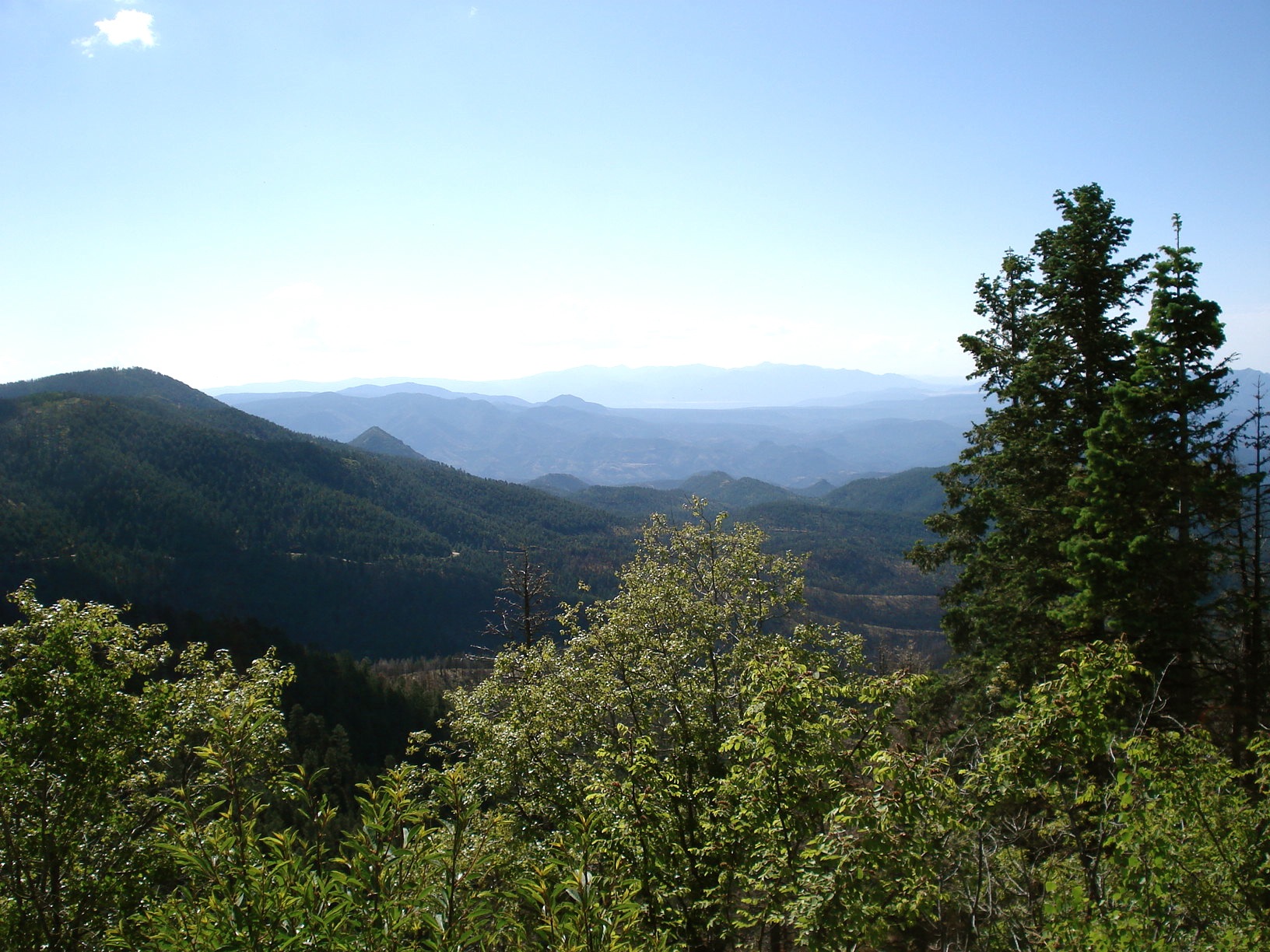
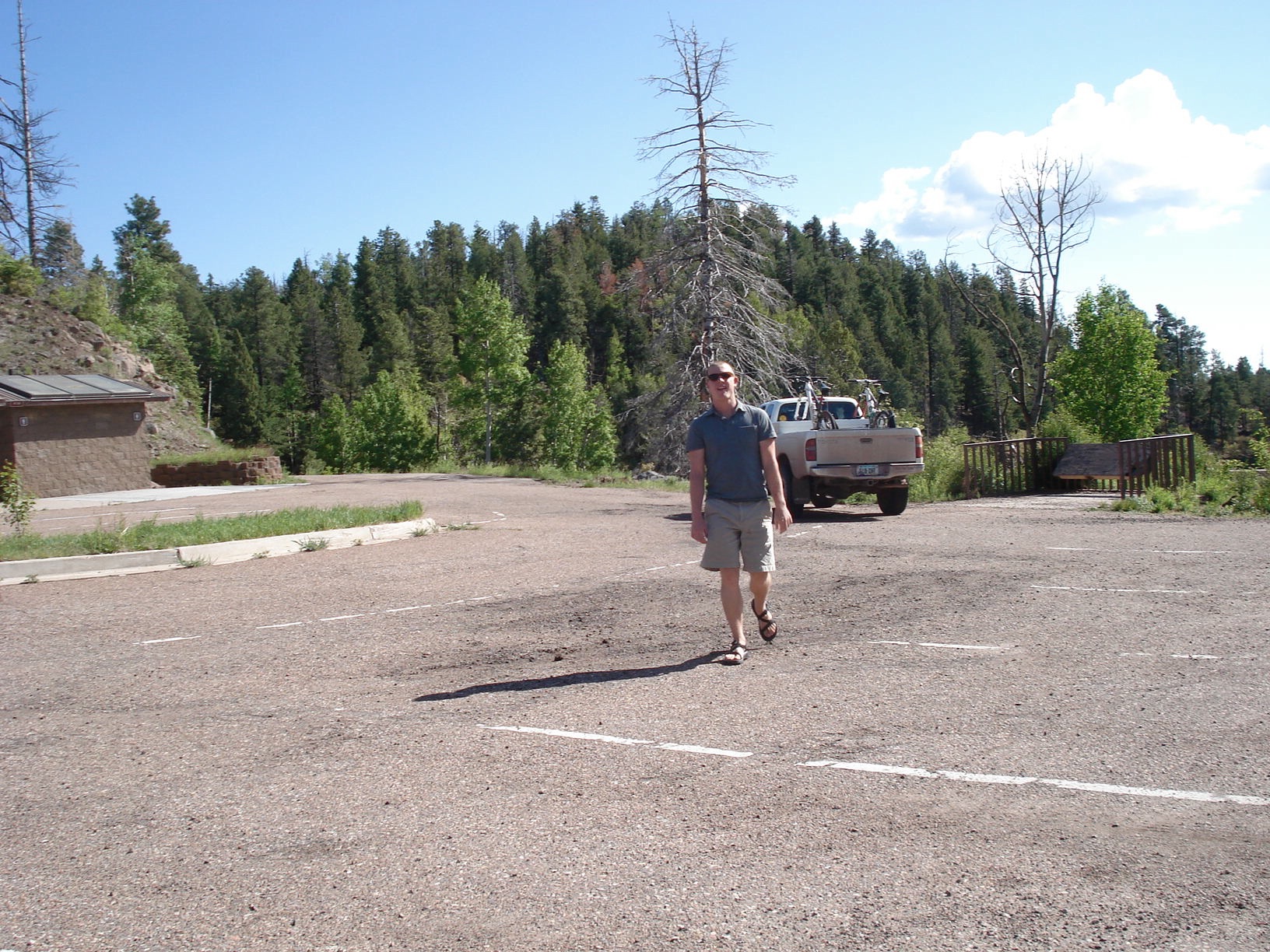
view from the road
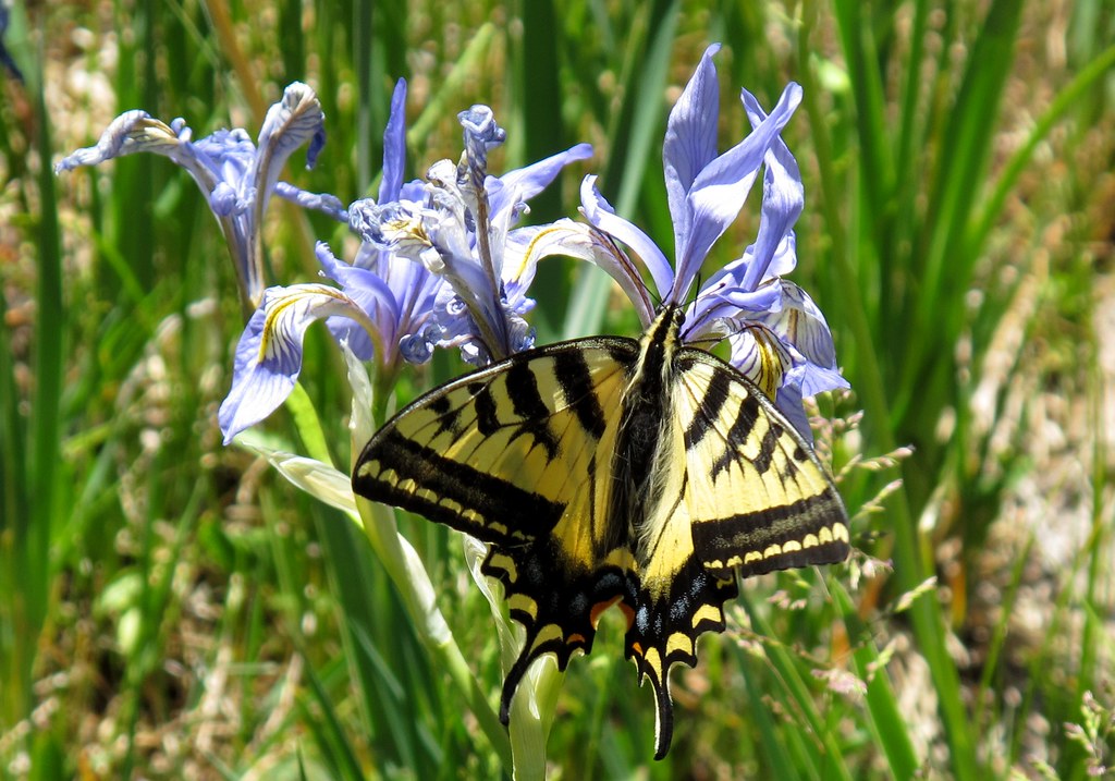
Flittery Flutterby

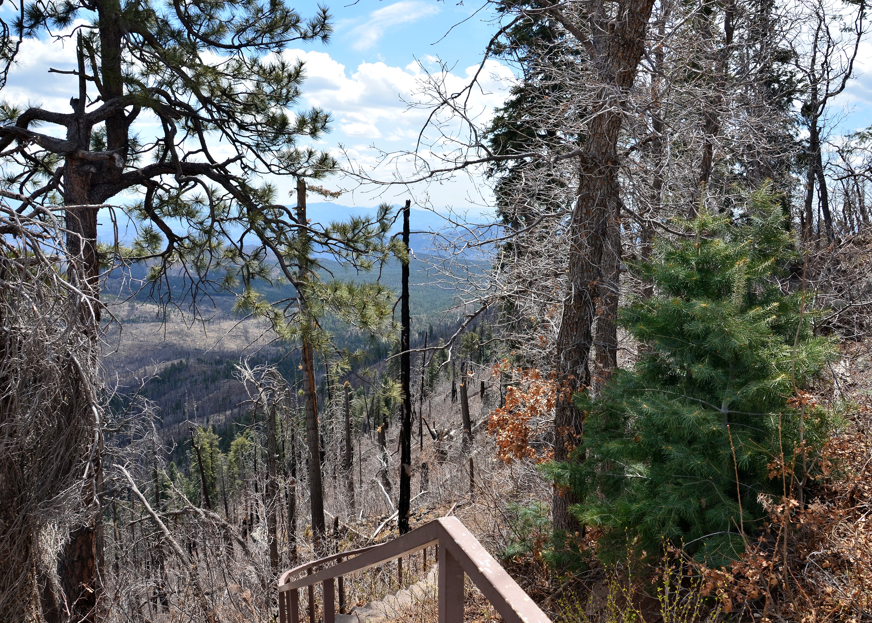
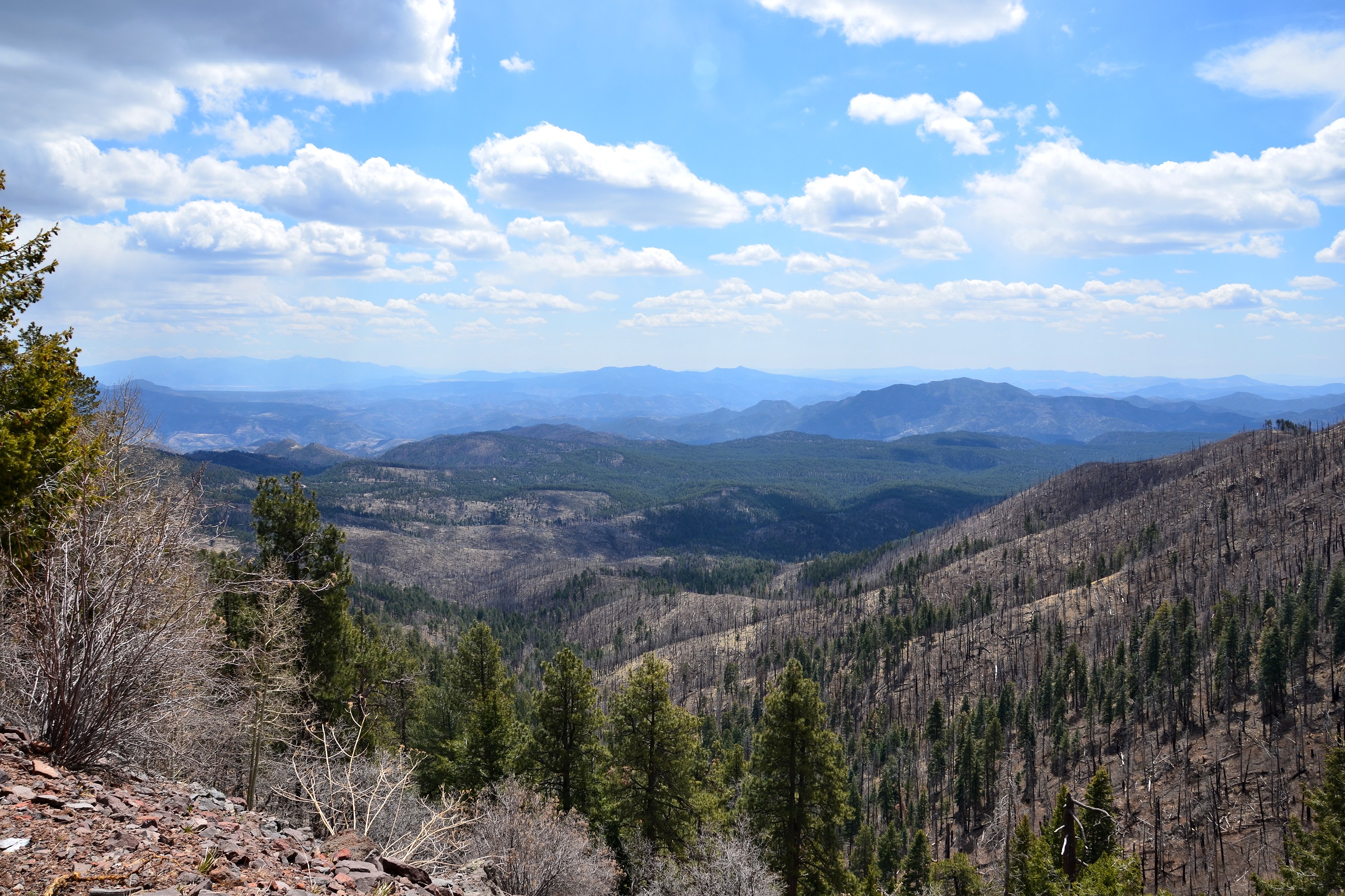
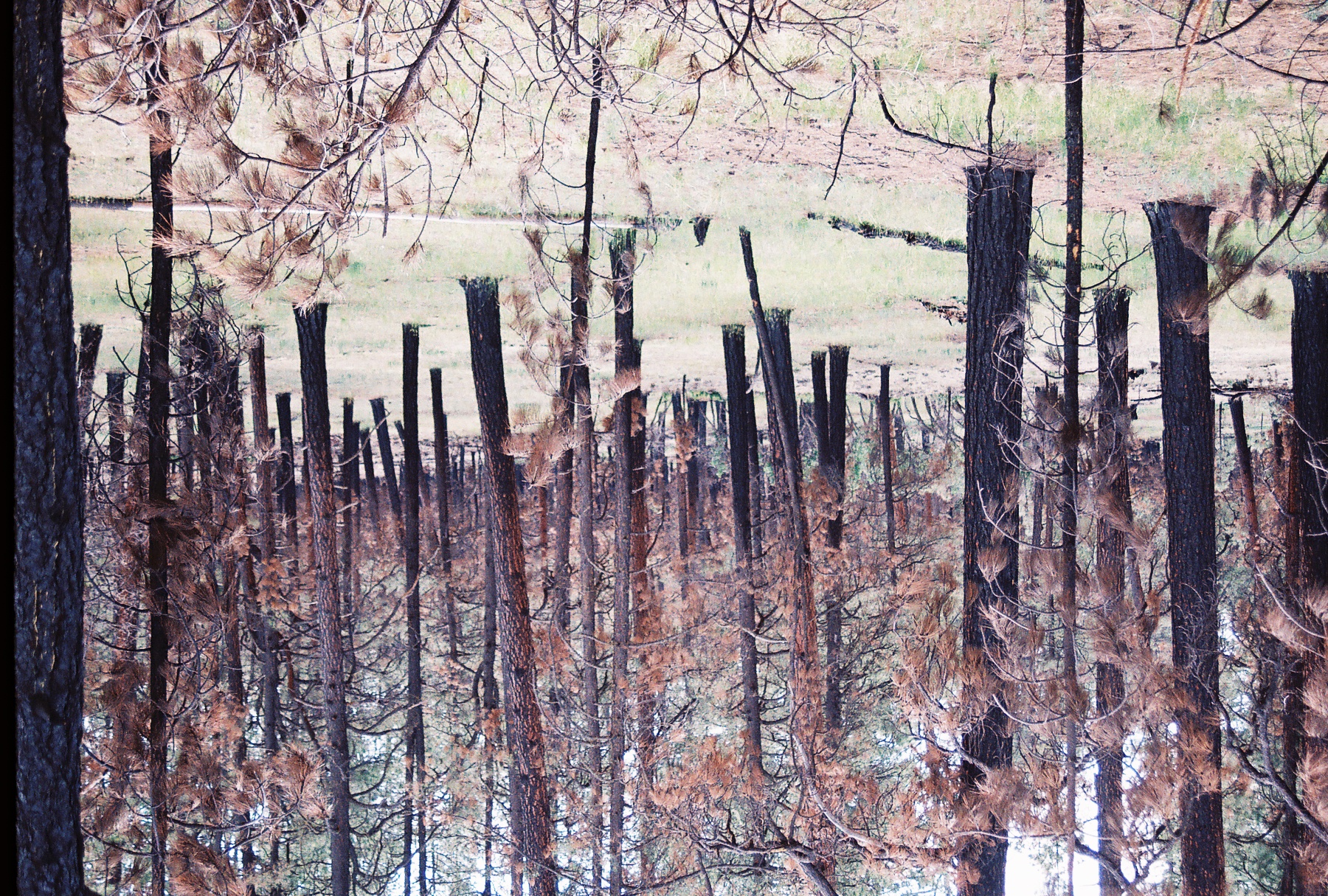
Ecosystem Reset
040514-934F

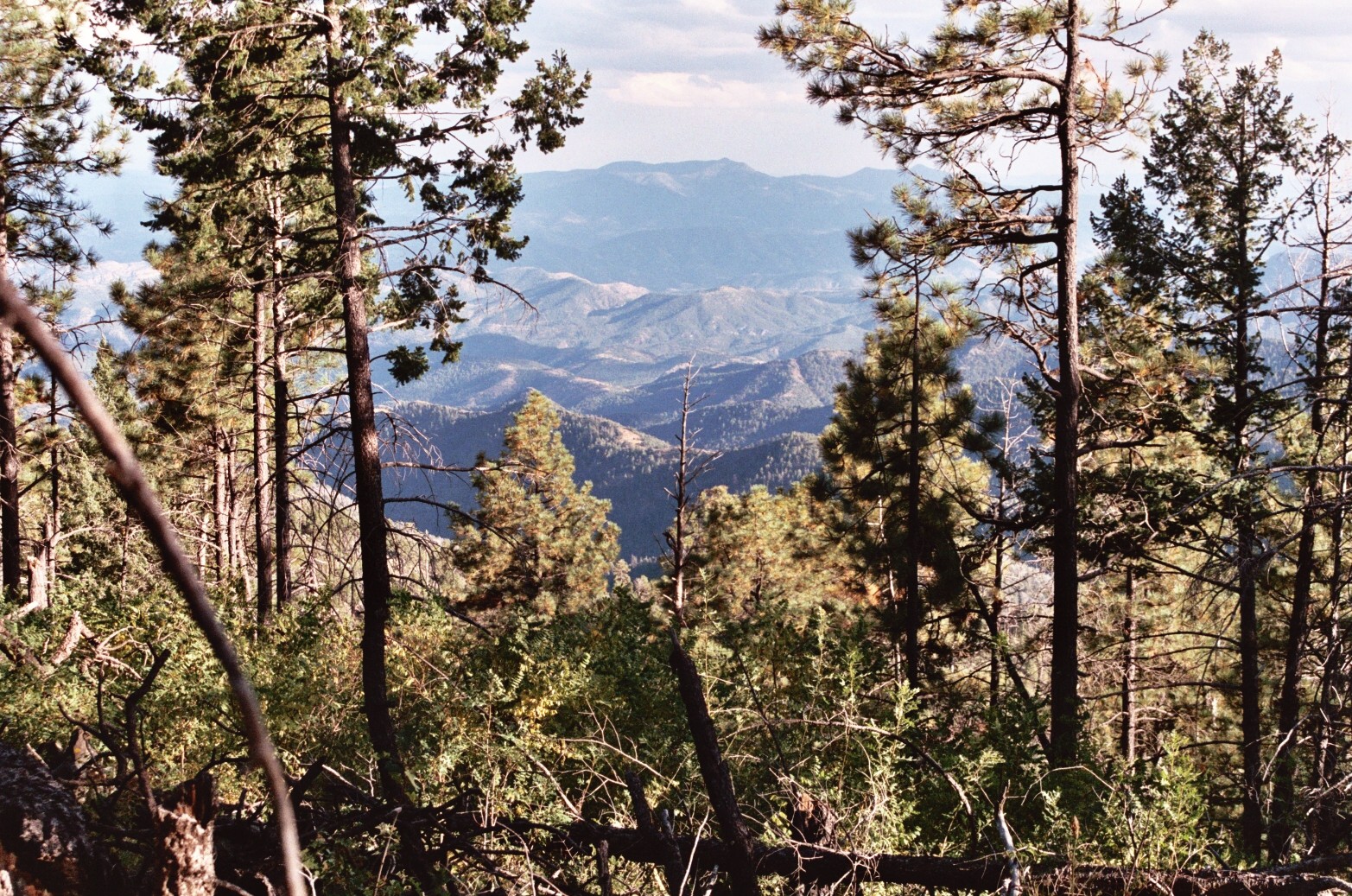
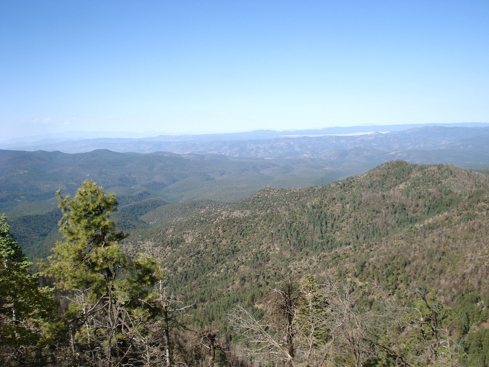
The highway peg's view
Apache National Forest, Arizona
Edge of the World on Route 191
Edge of the World on Route 191
Edge of the World on Route 191

Dirty Truck
Edge of the World on Route 191
Edge of the World on Route 191

IMG_2123-Edit.jpg
040514-928F
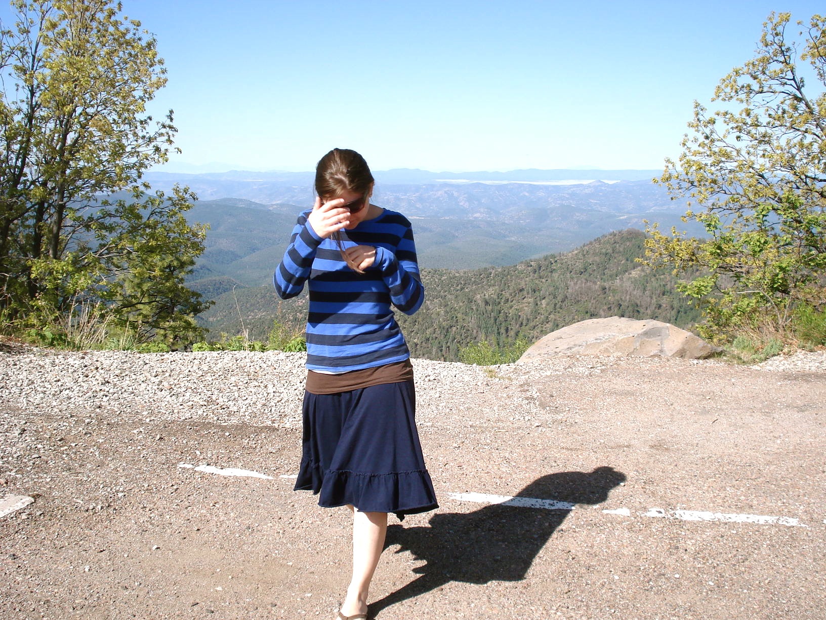
Stacey's Photo
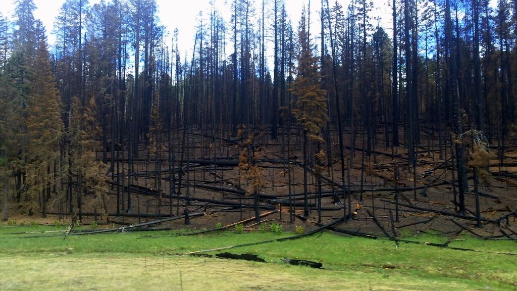
Green Meets Black
Apache National Forest, Arizona
KP Cieniga
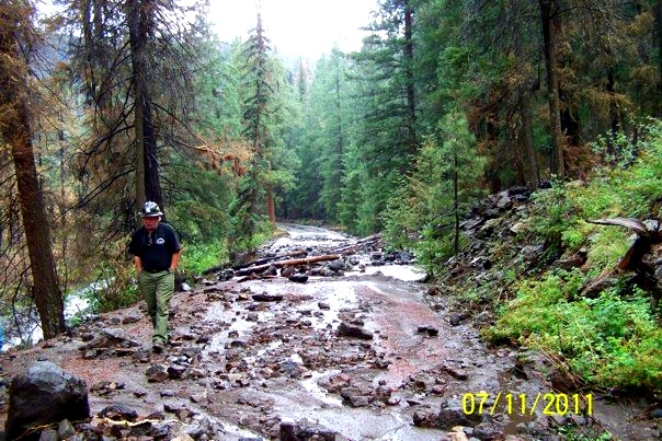
Landslide across the road

Black River

Blue Vista Point
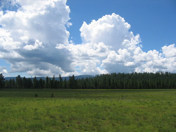
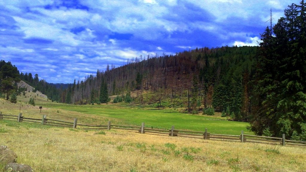
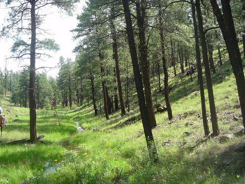
Mountain Meadow, White Mountains, AZ
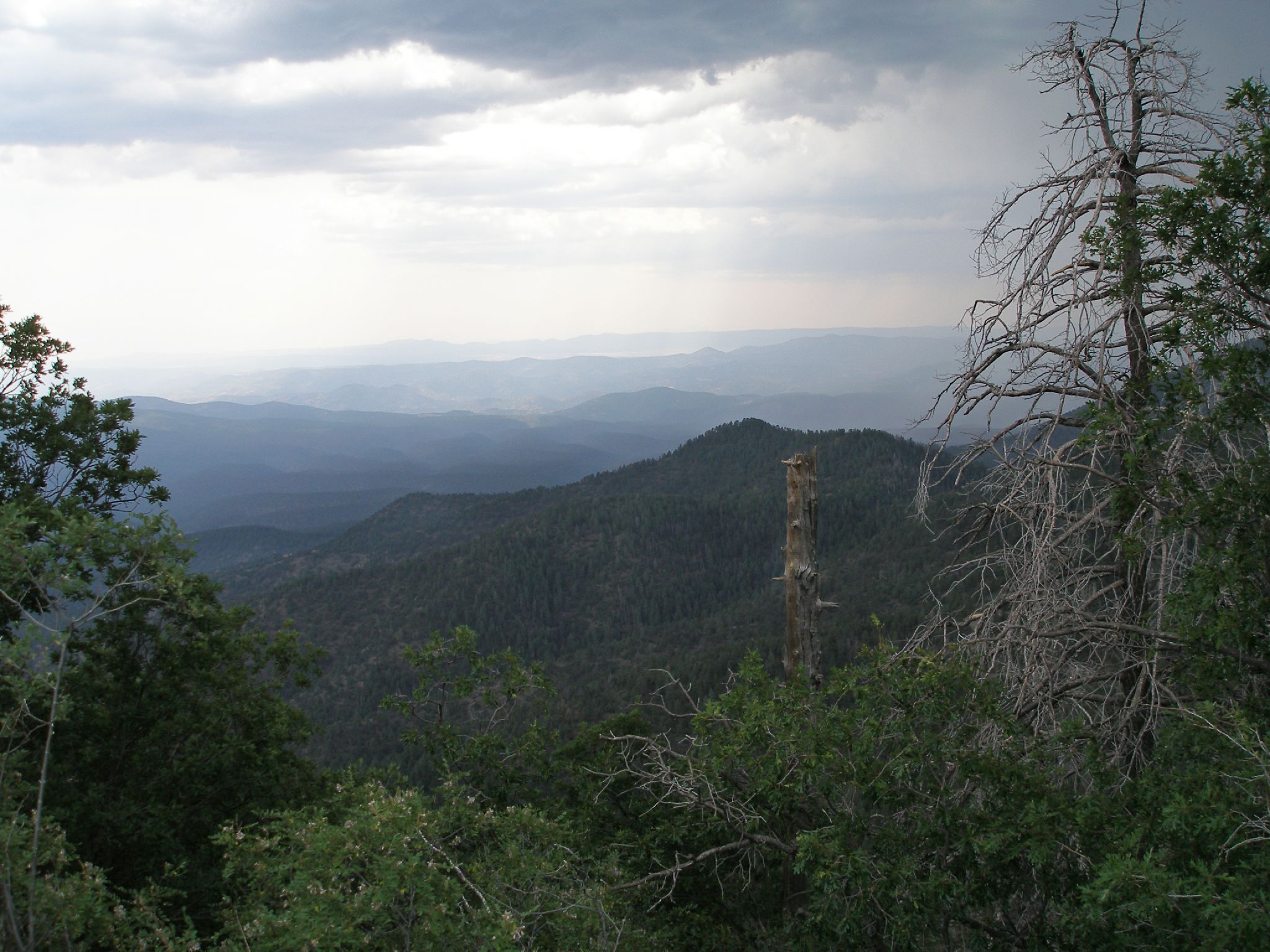
Thunderstorm over Hannagan Medow
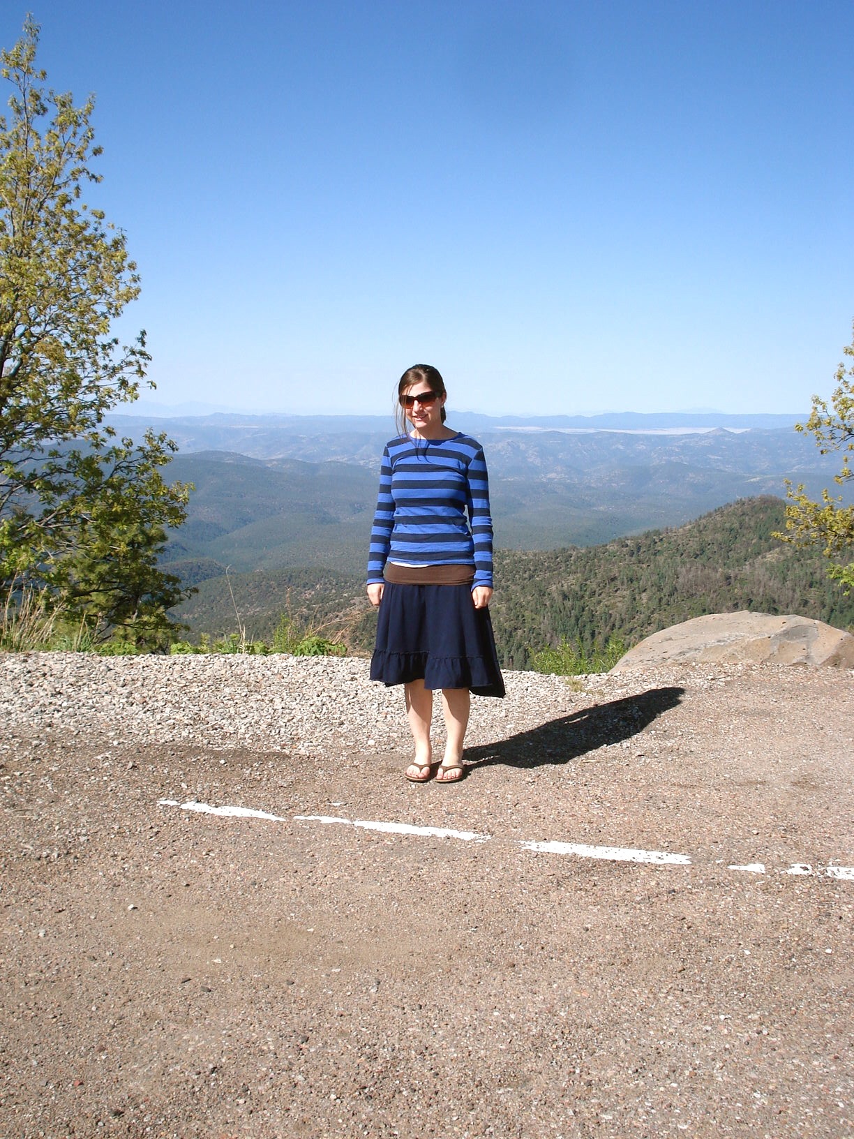
Stacey's Photo
Topographic Map of Hannagan Meadow, AZ, USA
Find elevation by address:

Places near Hannagan Meadow, AZ, USA:
Blue
Saddle Mountain
Black Bull Peak
Maple Peak
Aspen Mountain
Greenlee County
Cottonwood Campground
Cosmic Campground
Prairie Peak
Alma
Saliz Mountains Hp
Silver Peak
Glenwood
Catwalk Recreation Area
Danny George Road
196 Nm-435
Fannie Hill
Reserve
United States Postal Service
125 Park Ave
Recent Searches:
- Elevation of Leguwa, Nepal
- Elevation of County Rd, Enterprise, AL, USA
- Elevation of Kolchuginsky District, Vladimir Oblast, Russia
- Elevation of Shustino, Vladimir Oblast, Russia
- Elevation of Lampiasi St, Sarasota, FL, USA
- Elevation of Elwyn Dr, Roanoke Rapids, NC, USA
- Elevation of Congressional Dr, Stevensville, MD, USA
- Elevation of Bellview Rd, McLean, VA, USA
- Elevation of Stage Island Rd, Chatham, MA, USA
- Elevation of Shibuya Scramble Crossing, 21 Udagawacho, Shibuya City, Tokyo -, Japan