Elevation of Mule Creek, NM, USA
Location: United States > New Mexico >
Longitude: -108.95617
Latitude: 33.12201
Elevation: 1595m / 5233feet
Barometric Pressure: 84KPa
Elevation Map:
Satellite Map:
Related Photos:
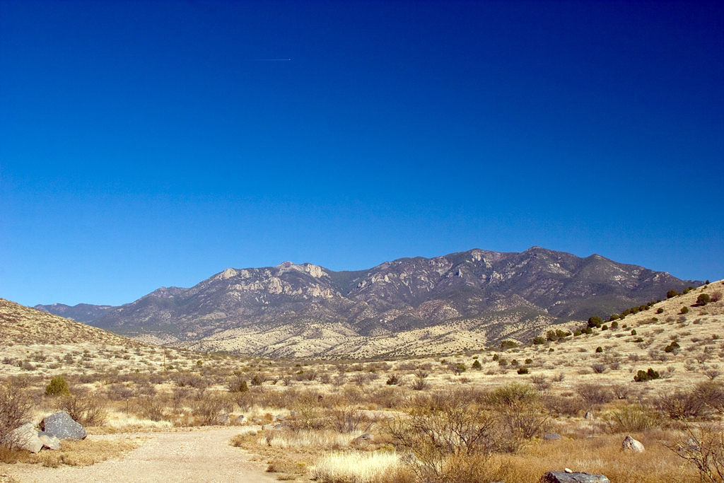
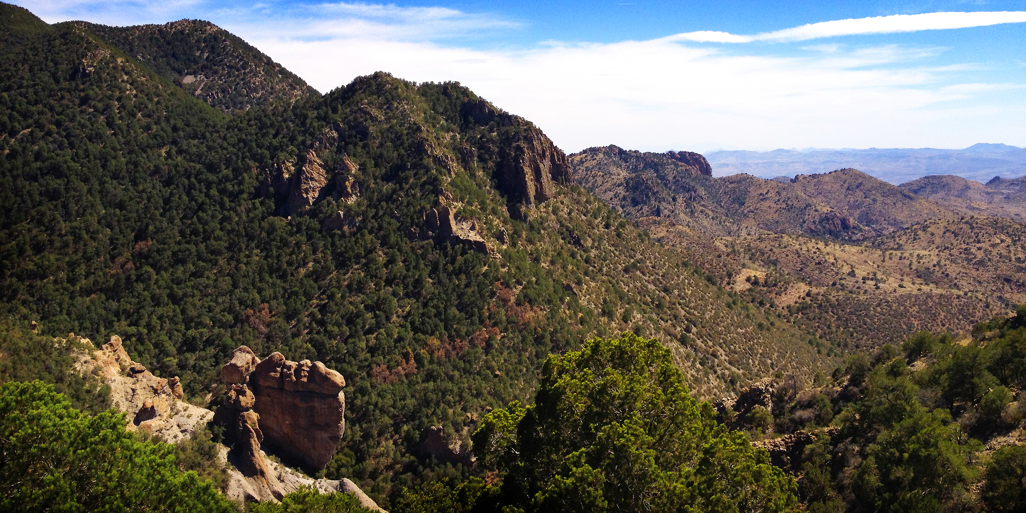
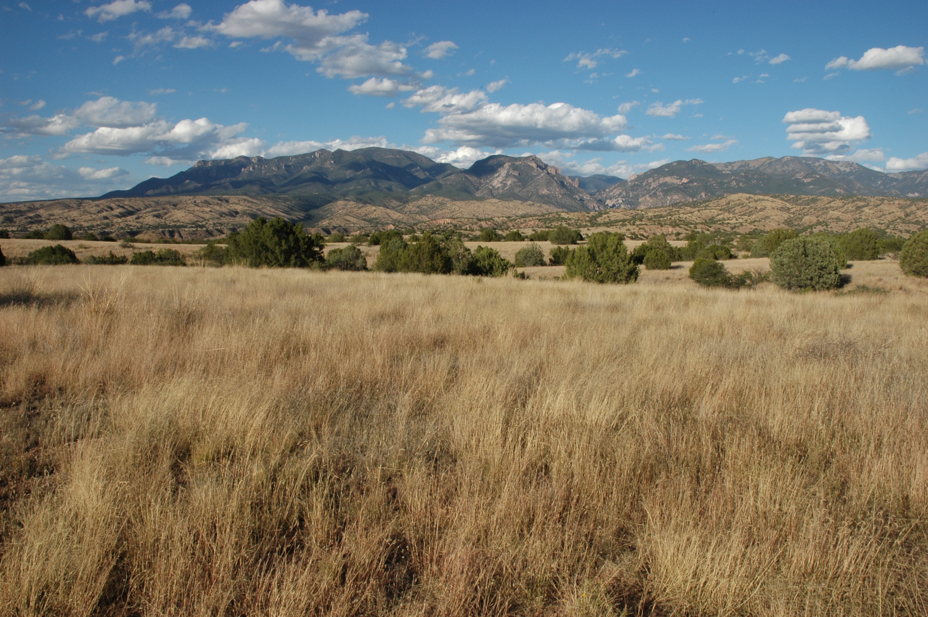
Mogollon Mountains
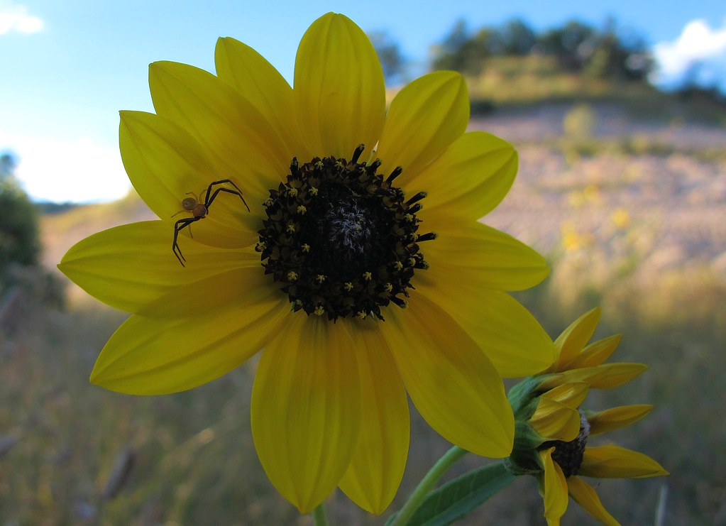
Lurking Predator
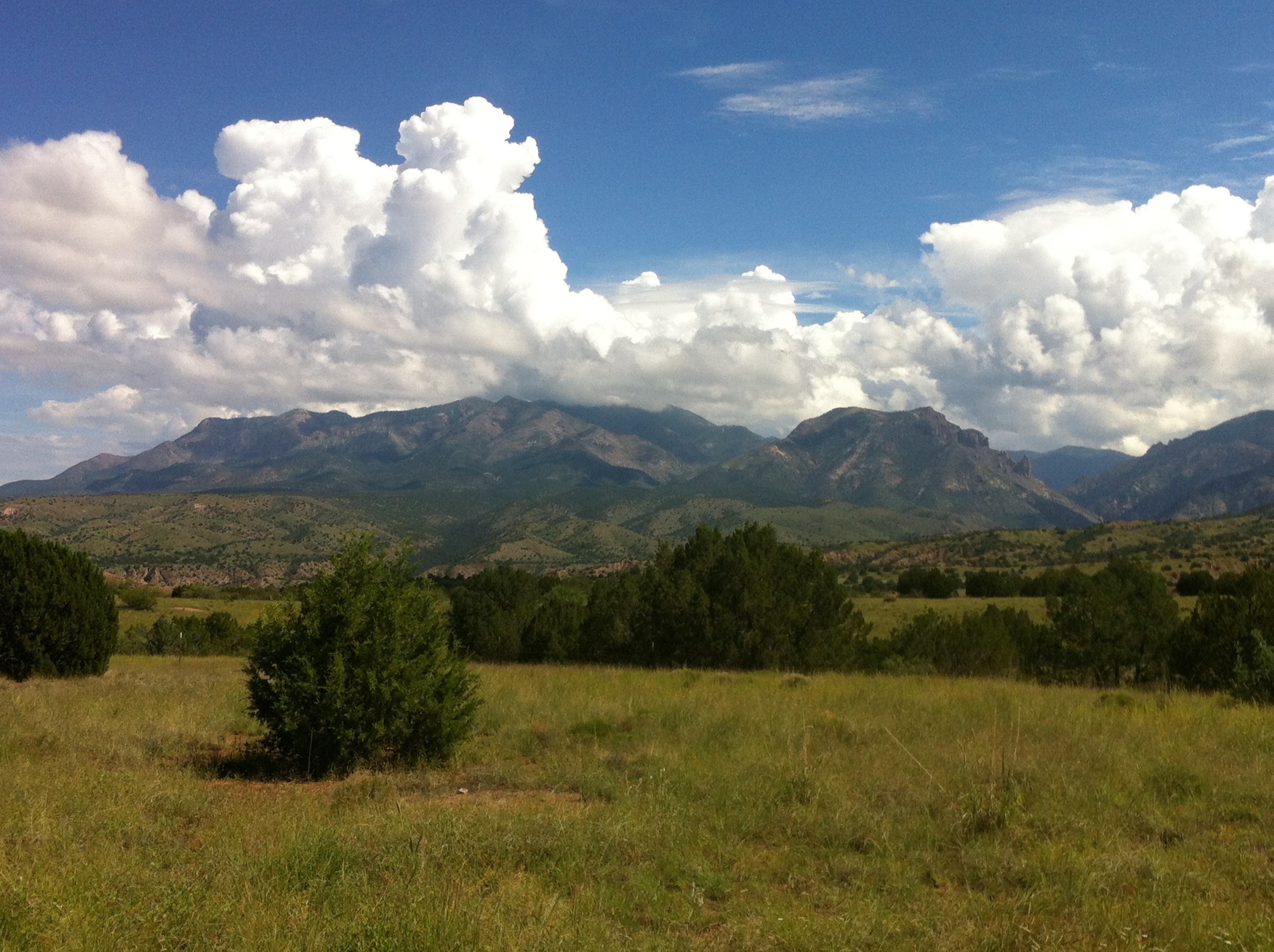
Gila Wilderness

Gila Wilderness
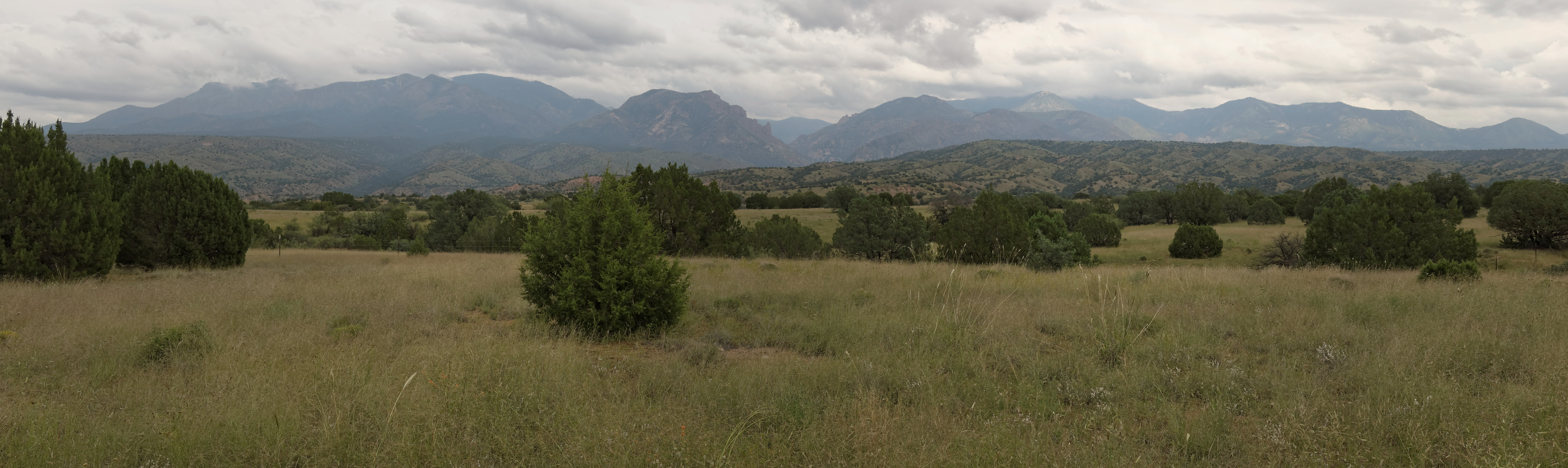
Gila National Forest Wilderness
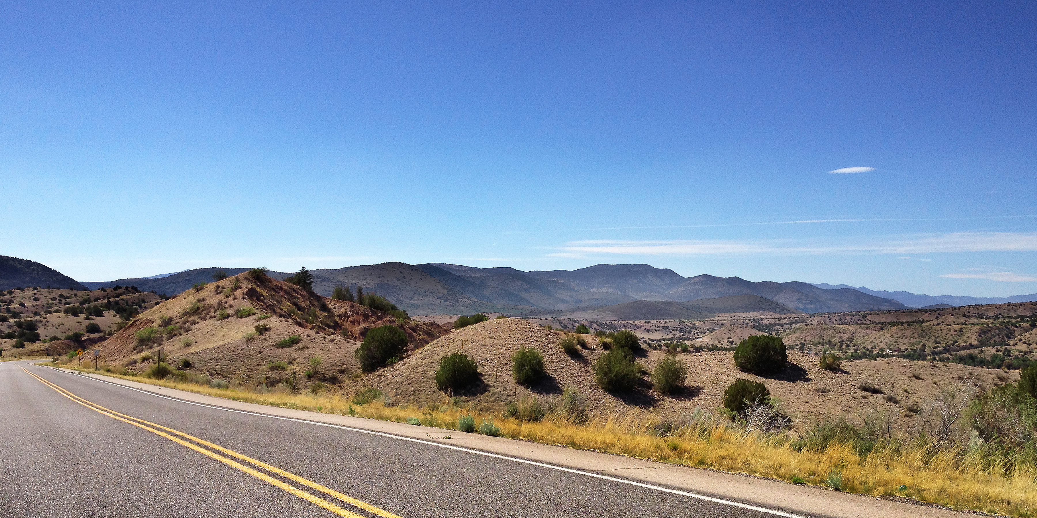
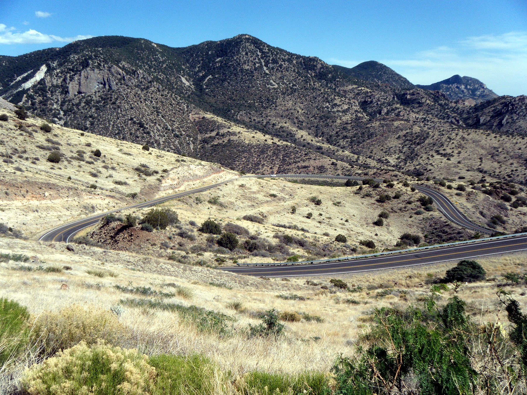
Hwy. 180
US-180 West Approaching NM-78

Lone Tree

Duckweed on pond on old ranch near Mule Cr, NM_Nov 2014

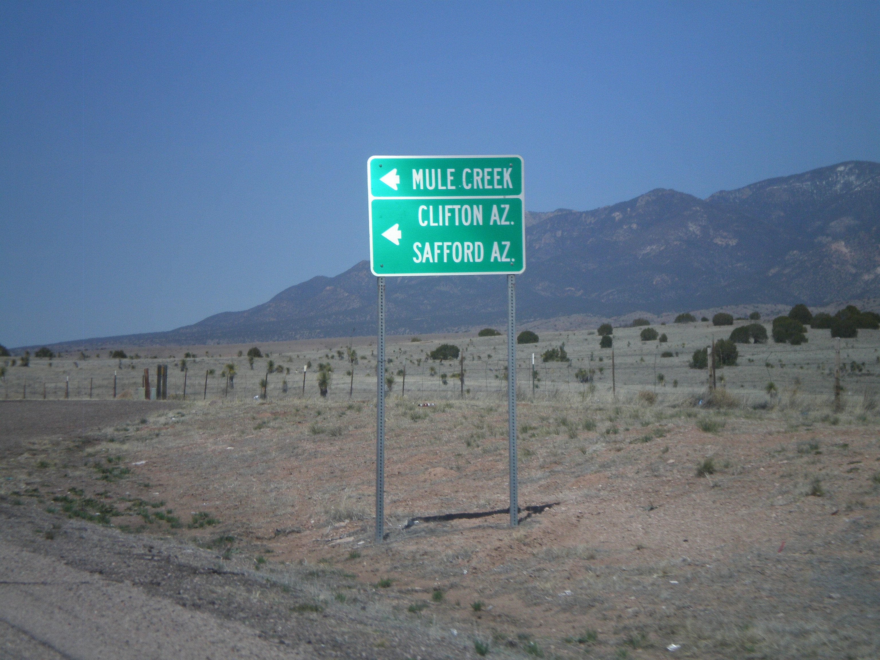
Hwy 78, the Apache National Forest
HWY 78

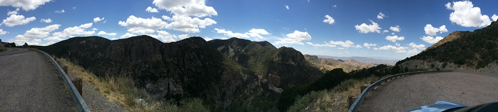
Mogollon Day Trip
West side of AZ-78
Leopold Wilderness

Duncan Sunset
For a biker, does it get better than this?
Topographic Map of Mule Creek, NM, USA
Find elevation by address:

Places in Mule Creek, NM, USA:
Brushy Mountain
Mule Mountains Hp
Dry Section Mountain
Deer Peak
Vanderbilt Peak
Summit Peak
Crookson Peak
Saddleback Mountain
Tillie Hall Peak
Yellowjacket Peak
Winchester Peak
Mcmullen Peak
Places near Mule Creek, NM, USA:
Mule Mountains Hp
Outlaw Mountain
1368 Brushy Mountain Rd
Sundial Mountain
Brushy Mountain
Mcmullen Peak
Aldo Leopold Vista Picnic Area (recgovnpsdata)
6034 Us-180
Tillie Hall Peak
Winchester Peak
Yellowjacket Peak
Dry Section Mountain
Danny George Road
Glenwood
Applegate Mountain
Sheridan Mountain
Deer Peak
Crookson Peak
Saddleback Mountain
Holt Mountain
Recent Searches:
- Elevation of Corso Fratelli Cairoli, 35, Macerata MC, Italy
- Elevation of Tallevast Rd, Sarasota, FL, USA
- Elevation of 4th St E, Sonoma, CA, USA
- Elevation of Black Hollow Rd, Pennsdale, PA, USA
- Elevation of Oakland Ave, Williamsport, PA, USA
- Elevation of Pedrógão Grande, Portugal
- Elevation of Klee Dr, Martinsburg, WV, USA
- Elevation of Via Roma, Pieranica CR, Italy
- Elevation of Tavkvetili Mountain, Georgia
- Elevation of Hartfords Bluff Cir, Mt Pleasant, SC, USA