Elevation of Dry Section Mountain, New Mexico, USA
Location: United States > New Mexico > Mule Creek >
Longitude: -108.85367
Latitude: 32.9689576
Elevation: 2087m / 6847feet
Barometric Pressure: 79KPa
Elevation Map:
Satellite Map:
Related Photos:
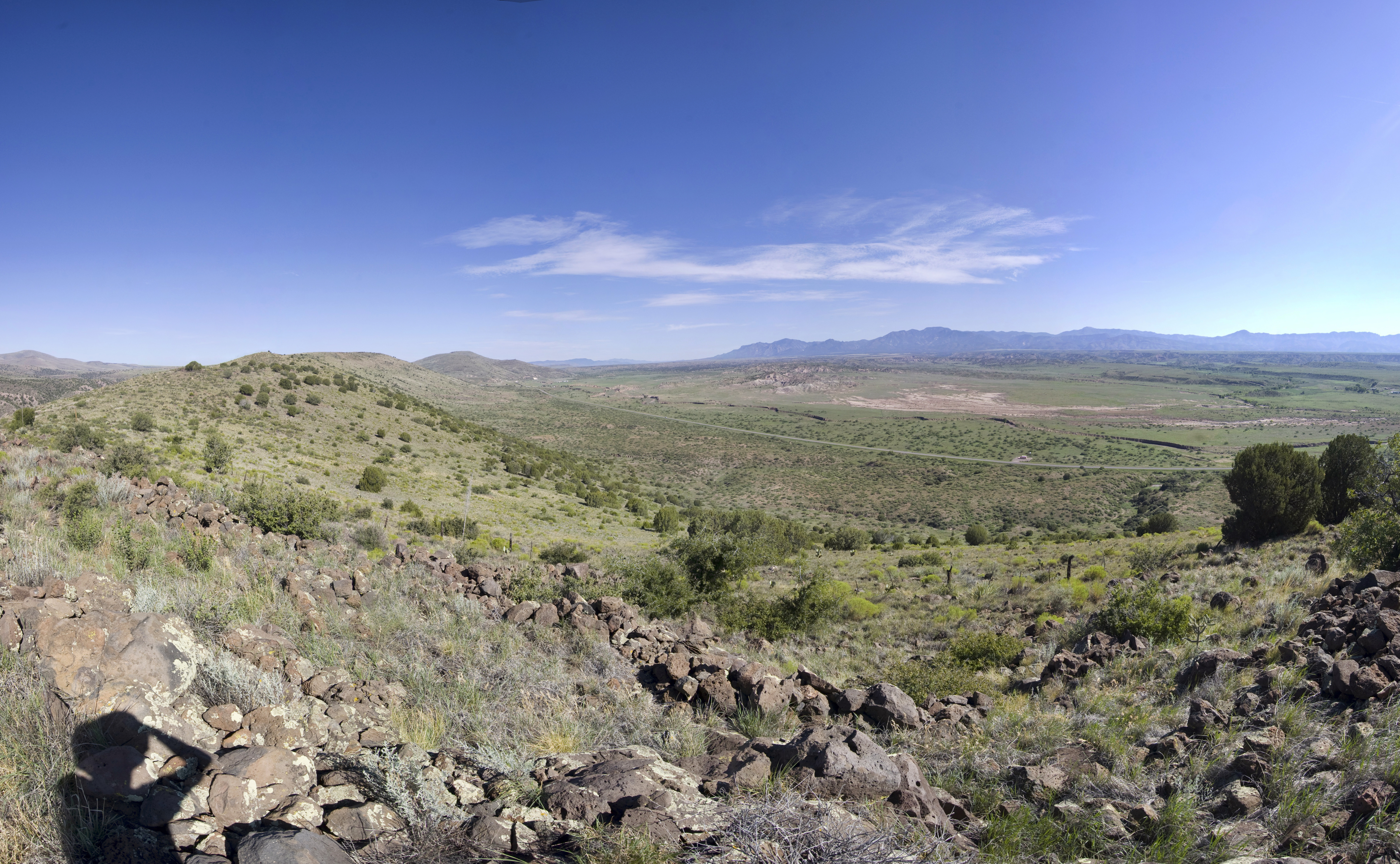
Old Native American Outpost
Topographic Map of Dry Section Mountain, New Mexico, USA
Find elevation by address:

Places near Dry Section Mountain, New Mexico, USA:
Applegate Mountain
Deer Peak
Brushy Mountain
Crookson Peak
Mule Mountains Hp
1368 Brushy Mountain Rd
Yellowjacket Peak
Tillie Hall Peak
Buckhorn
Summit Peak
352 Duck Creek Rd
Winchester Peak
Mule Creek
Vanderbilt Peak
Saddleback Mountain
Mcmullen Peak
Aldo Leopold Vista Picnic Area (recgovnpsdata)
Outlaw Mountain
6034 Us-180
Sundial Mountain
Recent Searches:
- Elevation of Corso Fratelli Cairoli, 35, Macerata MC, Italy
- Elevation of Tallevast Rd, Sarasota, FL, USA
- Elevation of 4th St E, Sonoma, CA, USA
- Elevation of Black Hollow Rd, Pennsdale, PA, USA
- Elevation of Oakland Ave, Williamsport, PA, USA
- Elevation of Pedrógão Grande, Portugal
- Elevation of Klee Dr, Martinsburg, WV, USA
- Elevation of Via Roma, Pieranica CR, Italy
- Elevation of Tavkvetili Mountain, Georgia
- Elevation of Hartfords Bluff Cir, Mt Pleasant, SC, USA