Elevation of Granite Creek Rd, Placerville, ID, USA
Location: United States > Idaho > Boise County > Placerville >
Longitude: -115.96404
Latitude: 43.940982
Elevation: 1369m / 4491feet
Barometric Pressure: 86KPa
Elevation Map:
Satellite Map:
Related Photos:
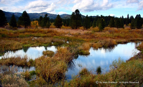
View Outside Placerville, ID
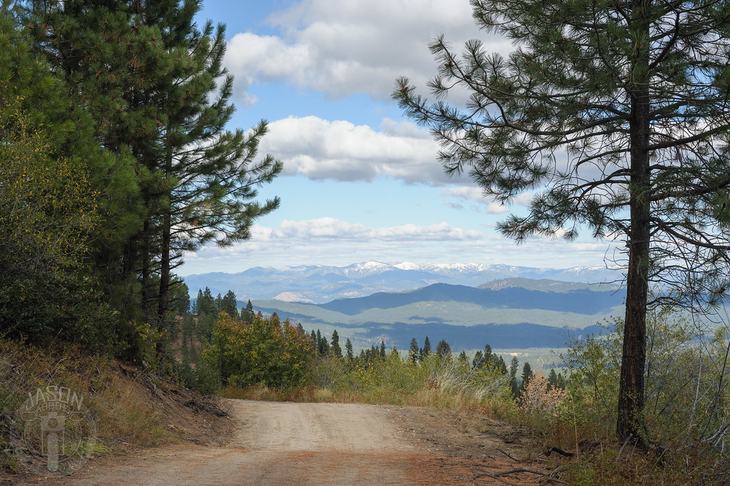
Ridge all the way

Star Ranch view

Sugarloaf Rock
Star Ranch - Harris Creek - in HDR

Forest Fire and Smoke

Fall in the Forest

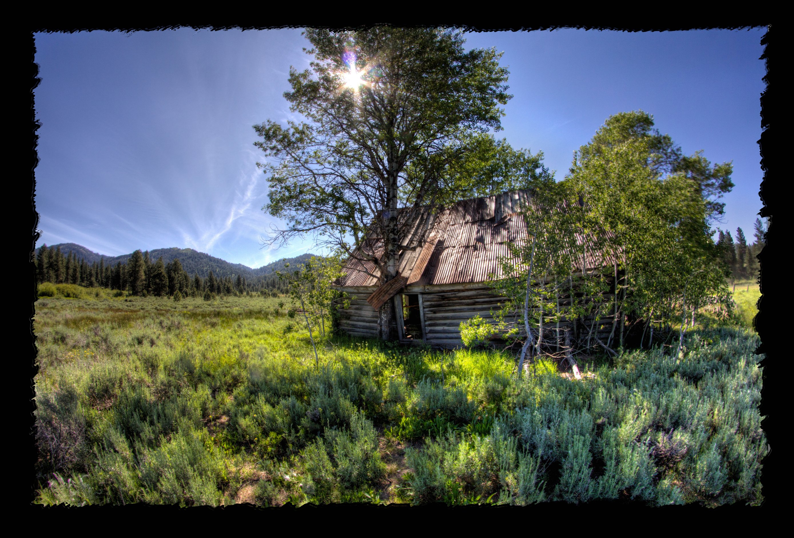
Sheepherder's Cabin

019-17 USA, Idaho, Idaho City, Pioneer Cemetery, Tall trees around the cemetery

Grimes Pass
All to himself

Grimes Pass
Pioneer Cemetery

untitled-120.jpg

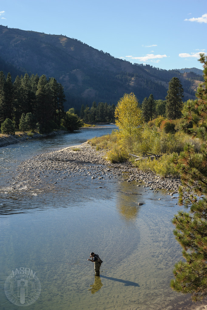
Salmon shooter

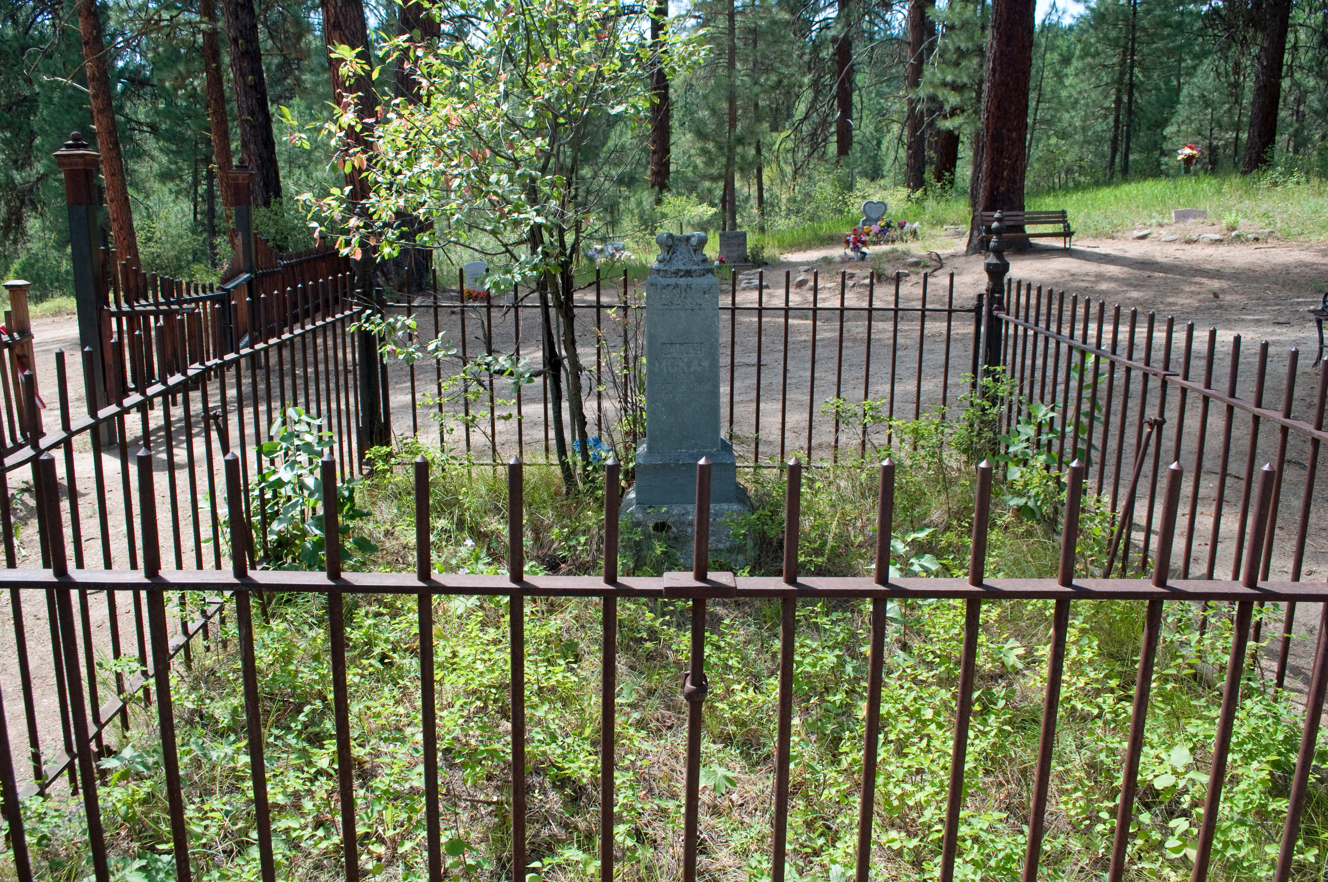
Placerville Cemetery-23
Topographic Map of Granite Creek Rd, Placerville, ID, USA
Find elevation by address:

Places near Granite Creek Rd, Placerville, ID, USA:
Placerville
18 Hopkins Dr
49 Hopkins Dr
9 Hiatt St, Idaho City, ID, USA
Granite Creek Rd, Placerville, ID, USA
Harris Creek Road
Forest Road 395
Centerville Rd, Idaho City, ID, USA
Boise County
Pioneerville
Harris Creek Road
Harris Creek Road
Harris Creek Road
Grimes Creek
Banks Lowman Rd, Garden Valley, ID, USA
Garden Valley
Porter Creek Road
74 Tamarack Rd
16 Frazier Creek Rd
Idaho City
Recent Searches:
- Elevation of Côte-des-Neiges, Montreal, QC H4A 3J6, Canada
- Elevation of Bobcat Dr, Helena, MT, USA
- Elevation of Zu den Ihlowbergen, Althüttendorf, Germany
- Elevation of Badaber, Peshawar, Khyber Pakhtunkhwa, Pakistan
- Elevation of SE Heron Loop, Lincoln City, OR, USA
- Elevation of Slanický ostrov, 01 Námestovo, Slovakia
- Elevation of Spaceport America, Co Rd A, Truth or Consequences, NM, USA
- Elevation of Warwick, RI, USA
- Elevation of Fern Rd, Whitmore, CA, USA
- Elevation of 62 Abbey St, Marshfield, MA, USA