Elevation of Banks Lowman Rd, Garden Valley, ID, USA
Location: United States > Idaho > Boise County > Garden Valley >
Longitude: -115.86052
Latitude: 44.046495
Elevation: 1001m / 3284feet
Barometric Pressure: 90KPa
Elevation Map:
Satellite Map:
Related Photos:
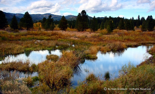
View Outside Placerville, ID

Sunny bend
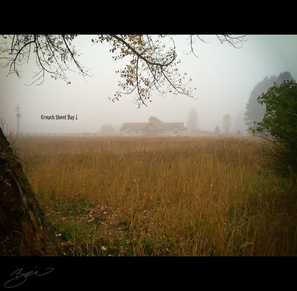
Crouch Shoot Day 1 - 365 Day 290

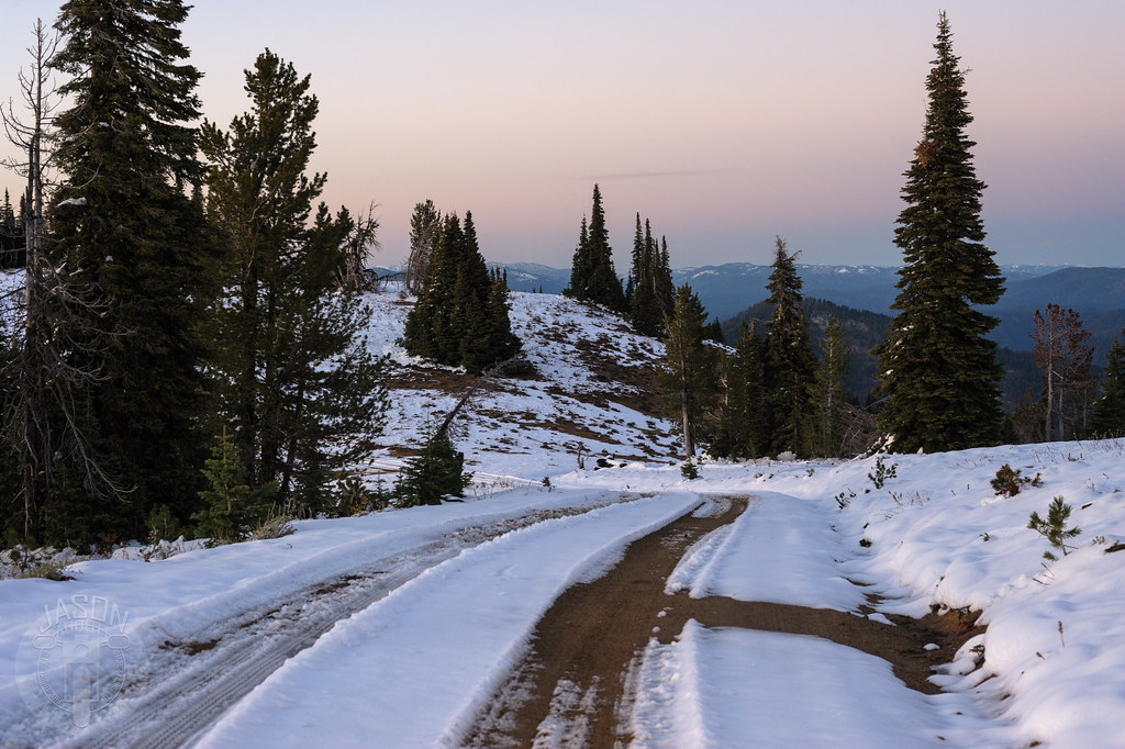
Two track for the win

Circle the wagons

High road

View from the Pioneer cemetary, Orchard Valley, Idaho
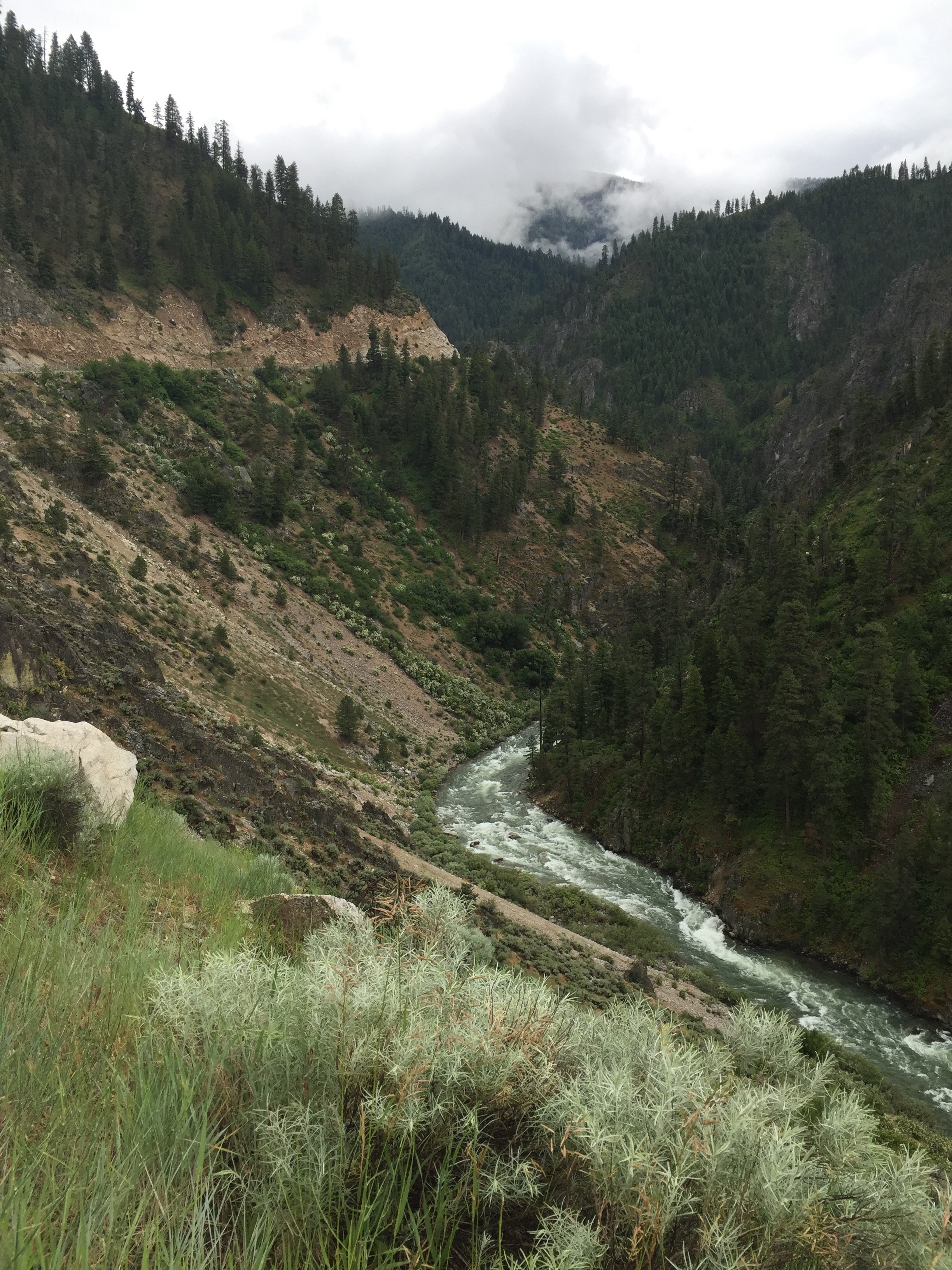
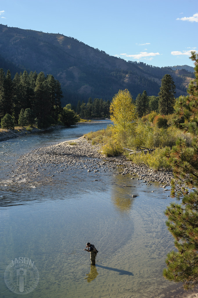
Salmon River view, in the Boise National Forest, Lowman, Idaho.
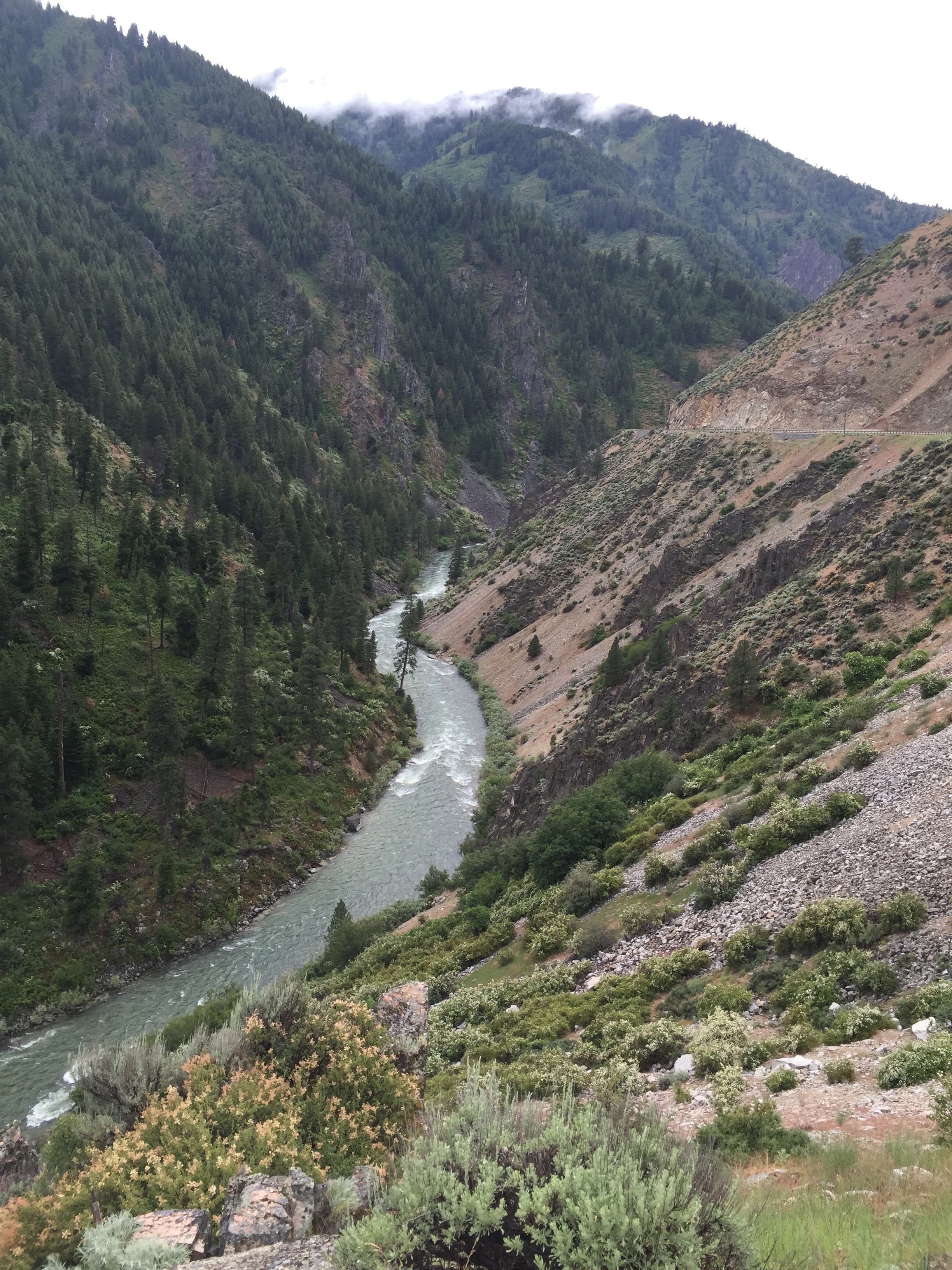
Salmon River view, in the Boise National Forest, Lowman, Idaho.
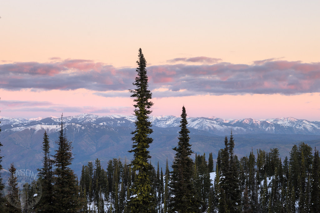
Snow on the tops

Sheepherder's Cabin

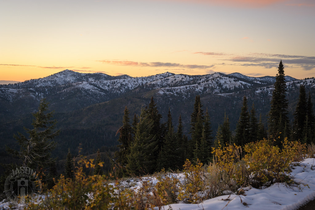
Fall in the Forest
Another retreat
Scott Mountain

Scott Mountain Lookout
All to himself

Grimes Pass

Grimes Pass

untitled-120.jpg
Snow line

Placerville Cemetery-23
Topographic Map of Banks Lowman Rd, Garden Valley, ID, USA
Find elevation by address:

Places near Banks Lowman Rd, Garden Valley, ID, USA:
Pioneerville
Forest Road 395
Boise County
Garden Valley
Placerville
63 Valley High Rd
Granite Creek Rd, Placerville, ID, USA
130 Valley High Rd
131 Valley High Rd
River Meadow Drive
138 Valley High Rd
Grimes Creek
18 Hopkins Dr
Granite Creek Rd, Placerville, ID, USA
49 Hopkins Dr
16 Frazier Creek Rd
Forest Trail Road
9 Hiatt St, Idaho City, ID, USA
Centerville Rd, Idaho City, ID, USA
7 Antler Point
Recent Searches:
- Elevation of Rojo Ct, Atascadero, CA, USA
- Elevation of Flagstaff Drive, Flagstaff Dr, North Carolina, USA
- Elevation of Avery Ln, Lakeland, FL, USA
- Elevation of Woolwine, VA, USA
- Elevation of Lumagwas Diversified Farmers Multi-Purpose Cooperative, Lumagwas, Adtuyon, RV32+MH7, Pangantucan, Bukidnon, Philippines
- Elevation of Homestead Ridge, New Braunfels, TX, USA
- Elevation of Orchard Road, Orchard Rd, Marlborough, NY, USA
- Elevation of 12 Hutchinson Woods Dr, Fletcher, NC, USA
- Elevation of Holloway Ave, San Francisco, CA, USA
- Elevation of Norfolk, NY, USA