Elevation of Forest Road, Forest Rd, Placerville, ID, USA
Location: United States > Idaho > Boise County > Placerville >
Longitude: -115.91196
Latitude: 43.9853714
Elevation: 1602m / 5256feet
Barometric Pressure: 83KPa
Elevation Map:
Satellite Map:
Related Photos:
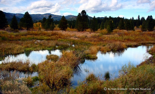
View Outside Placerville, ID

Sunny bend

Star Ranch view
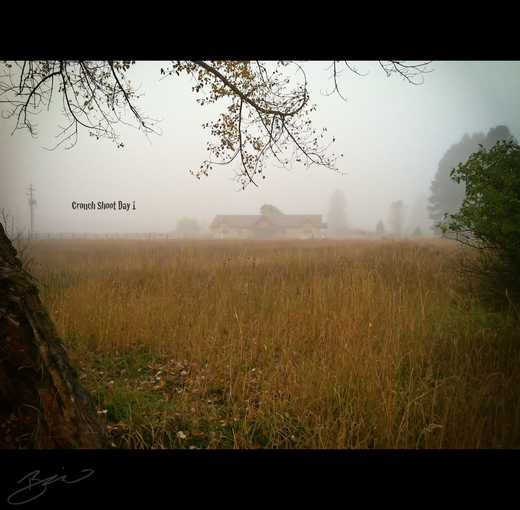
Crouch Shoot Day 1 - 365 Day 290
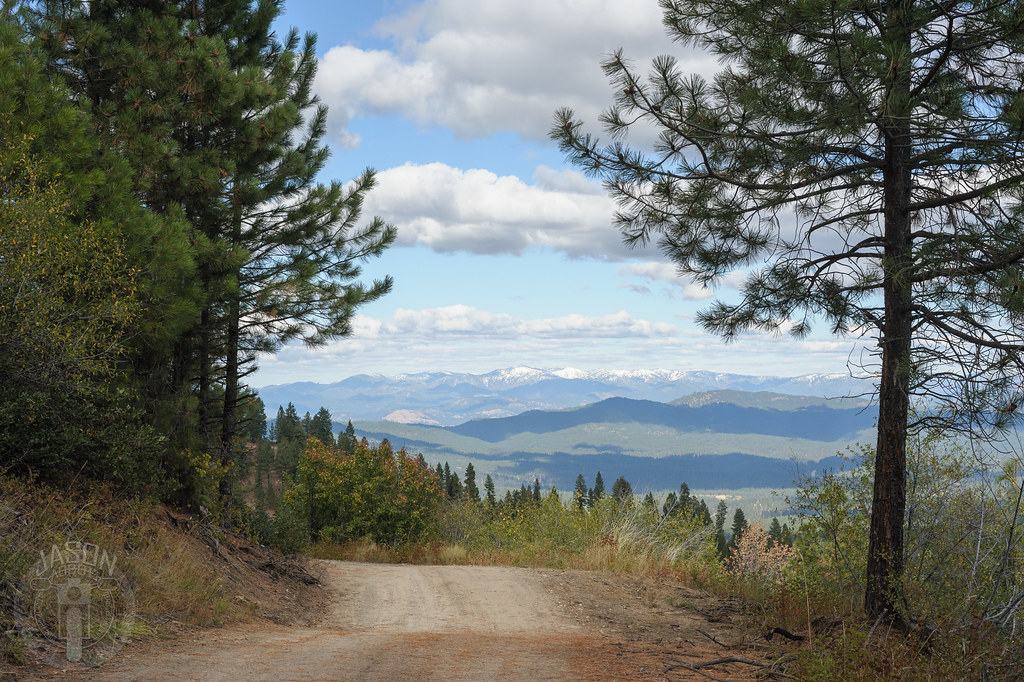
Ridge all the way

View from the Pioneer cemetary, Orchard Valley, Idaho
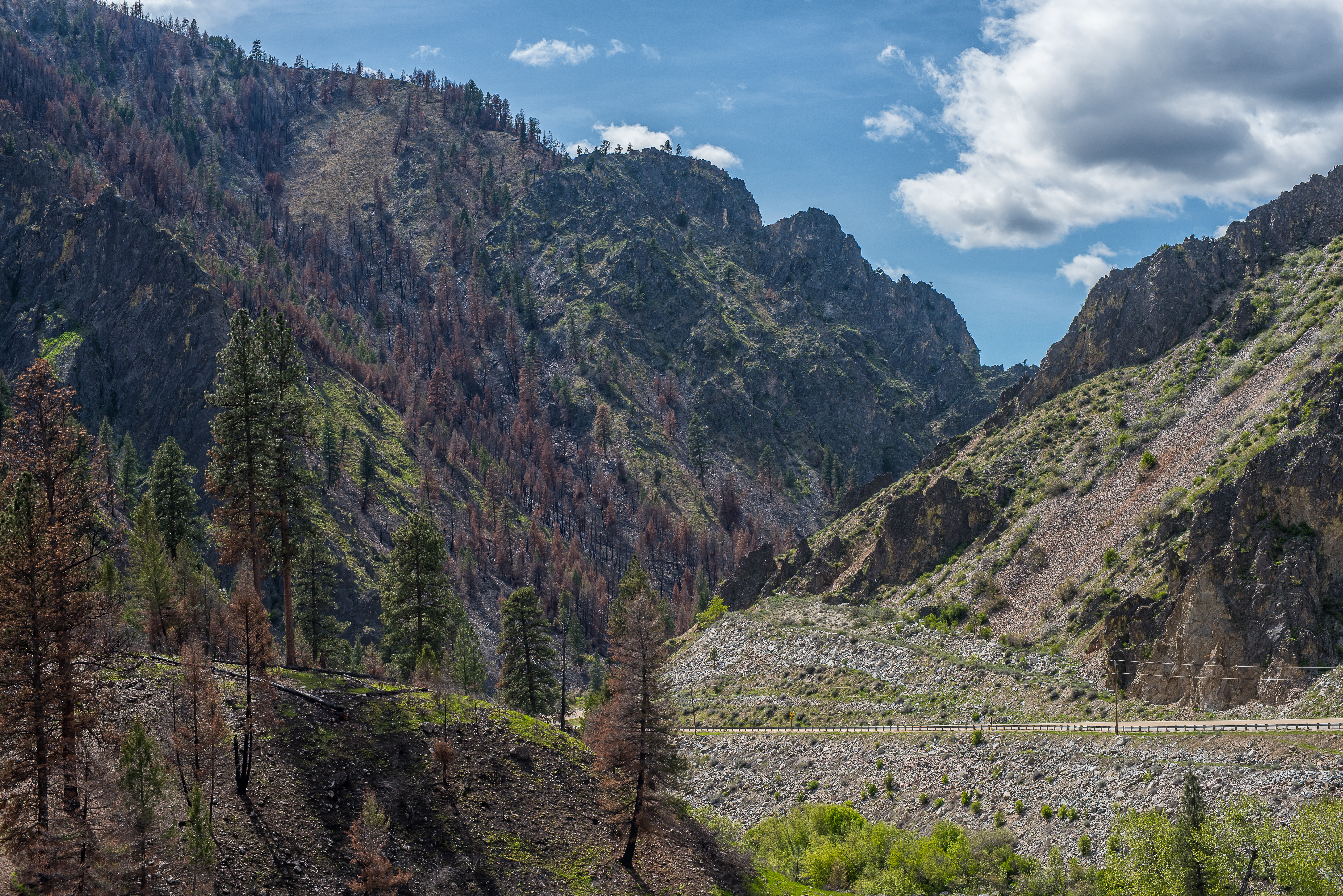
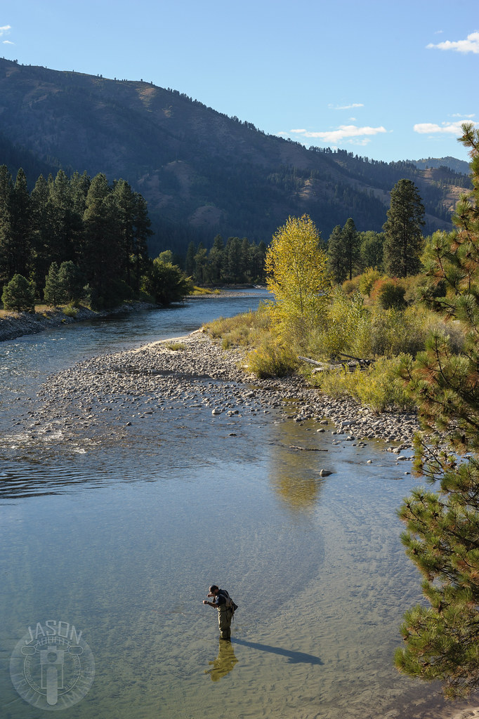
South Fork Payette Canyon
Star Ranch - Harris Creek - in HDR

Fall in the Forest

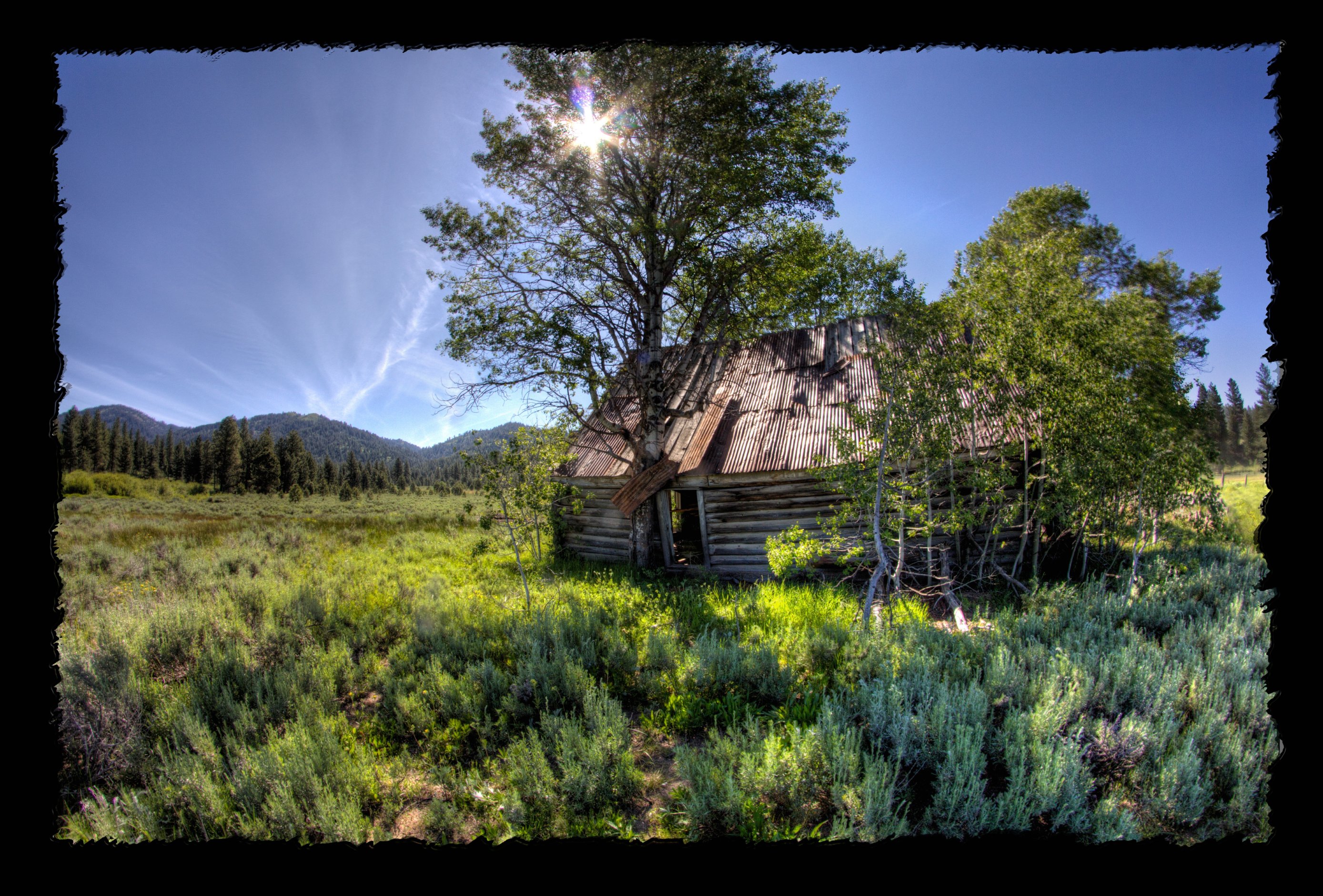
Sheepherder's Cabin
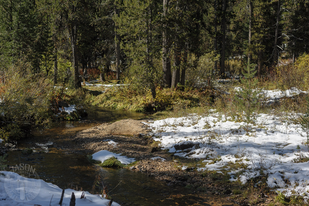
Clearly cold

Grimes Pass
All to himself

Grimes Pass

untitled-120.jpg

Placerville Cemetery-23

If you come to a fork in the river...
Topographic Map of Forest Road, Forest Rd, Placerville, ID, USA
Find elevation by address:

Places near Forest Road, Forest Rd, Placerville, ID, USA:
Placerville
Boise County
Pioneerville
Granite Creek Rd, Placerville, ID, USA
Banks Lowman Rd, Garden Valley, ID, USA
18 Hopkins Dr
49 Hopkins Dr
Granite Creek Rd, Placerville, ID, USA
9 Hiatt St, Idaho City, ID, USA
Harris Creek Road
Centerville Rd, Idaho City, ID, USA
Grimes Creek
Garden Valley
16 Frazier Creek Rd
63 Valley High Rd
130 Valley High Rd
131 Valley High Rd
138 Valley High Rd
74 Tamarack Rd
Idaho City
Recent Searches:
- Elevation of Pykes Down, Ivybridge PL21 0BY, UK
- Elevation of Jalan Senandin, Lutong, Miri, Sarawak, Malaysia
- Elevation of Bilohirs'k
- Elevation of 30 Oak Lawn Dr, Barkhamsted, CT, USA
- Elevation of Luther Road, Luther Rd, Auburn, CA, USA
- Elevation of Unnamed Road, Respublika Severnaya Osetiya — Alaniya, Russia
- Elevation of Verkhny Fiagdon, North Ossetia–Alania Republic, Russia
- Elevation of F. Viola Hiway, San Rafael, Bulacan, Philippines
- Elevation of Herbage Dr, Gulfport, MS, USA
- Elevation of Lilac Cir, Haldimand, ON N3W 2G9, Canada