Elevation of Centerville Rd, Idaho City, ID, USA
Location: United States > Idaho > Boise County > Idaho City >
Longitude: -115.90888
Latitude: 43.881185
Elevation: 1256m / 4121feet
Barometric Pressure: 87KPa
Elevation Map:
Satellite Map:
Related Photos:
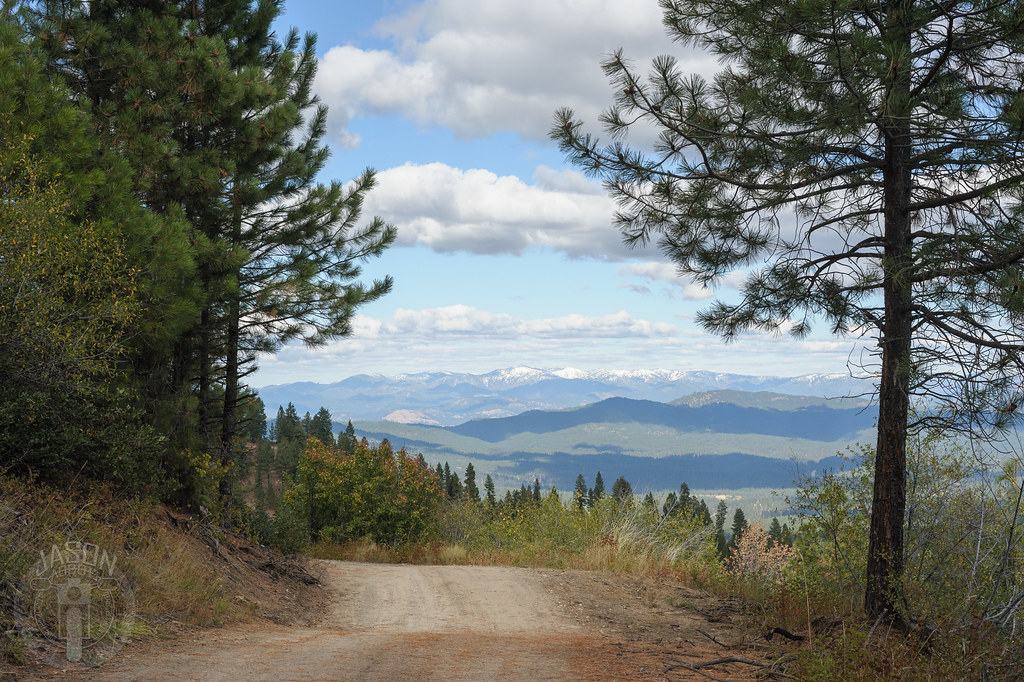
View Outside Placerville, ID
Ridge all the way

Sugarloaf Rock

Star Ranch view

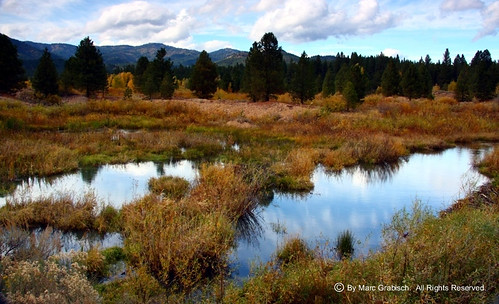
Idaho City, Idaho

Idaho City, Idaho

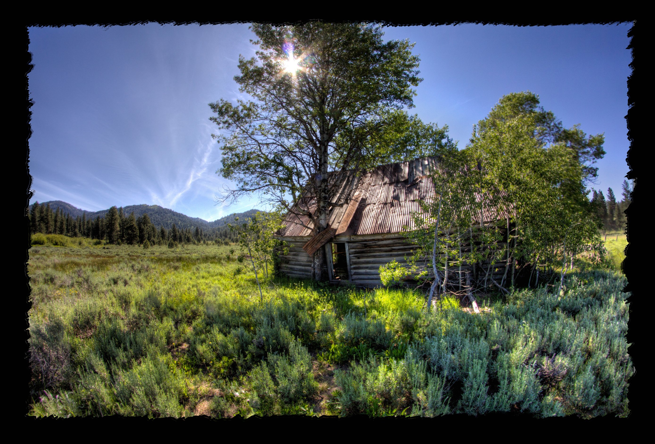
Sheepherder's Cabin

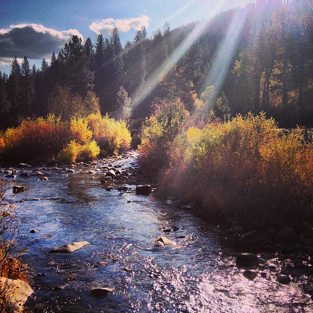
Fall in the Forest

Morning haze

Placerville Cemetery-23

Forest Fire and Smoke
#Idaho City was so great today with @jaxon_marz and @soccerr_loverr
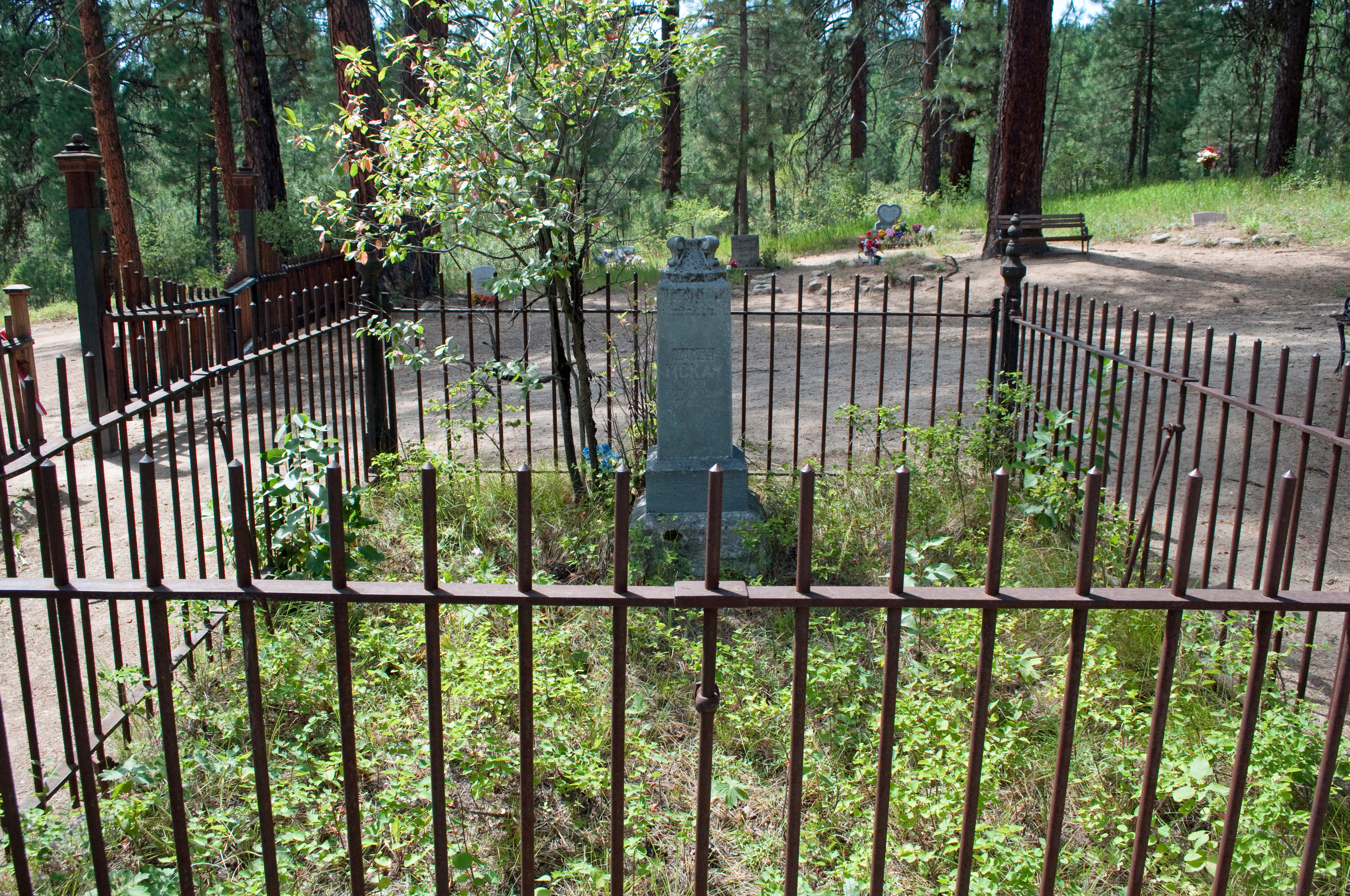
Idaho City Idaho cemetery
Star Ranch - Harris Creek - in HDR
Idaho City Idaho cemetery

Idaho City in the valley

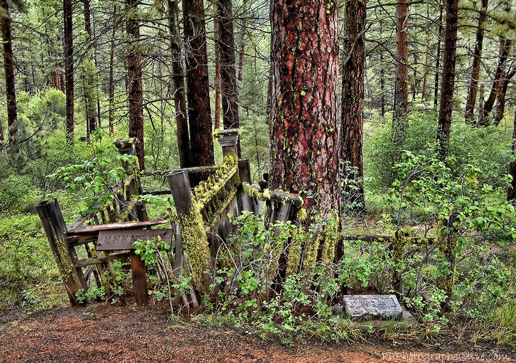
019-17 USA, Idaho, Idaho City, Pioneer Cemetery, Tall trees around the cemetery

Salmon shooter
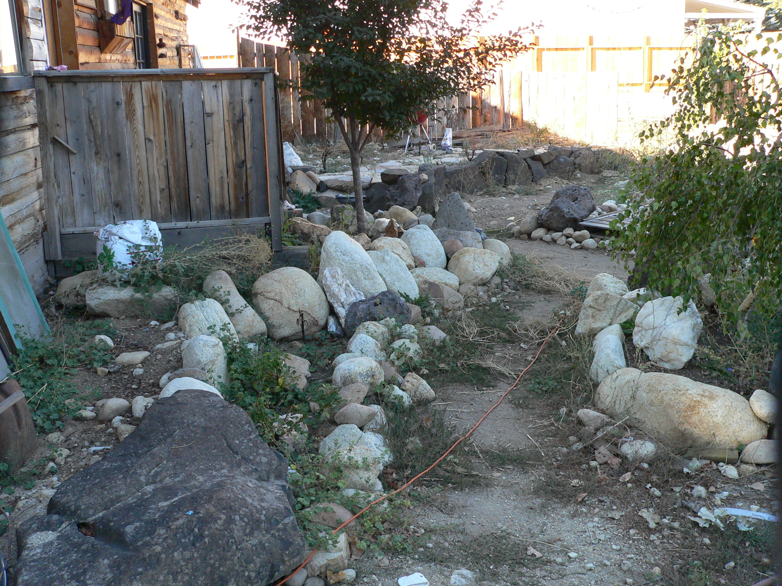
018-15 USA, Idaho, ID21, Idaho City, Rock Garden
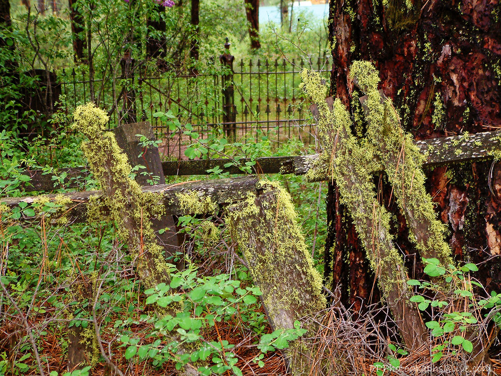
Pioneer Cemetery
Topographic Map of Centerville Rd, Idaho City, ID, USA
Find elevation by address:

Places near Centerville Rd, Idaho City, ID, USA:
Grimes Creek
9 Hiatt St, Idaho City, ID, USA
18 Hopkins Dr
Harris Creek Road
Placerville
49 Hopkins Dr
74 Tamarack Rd
Granite Creek Rd, Placerville, ID, USA
Idaho City
Trudy's Kitchen
Boise County
Forest Road 395
Pioneerville
Granite Creek Rd, Placerville, ID, USA
13 Sperry Lode Loop Rd
Midgaard Way
76 High Mountain Rd
120 Johnson Creek Rd
Harris Creek Road
Harris Creek Road
Recent Searches:
- Elevation of Unnamed Road, Respublika Severnaya Osetiya — Alaniya, Russia
- Elevation of Verkhny Fiagdon, North Ossetia–Alania Republic, Russia
- Elevation of F. Viola Hiway, San Rafael, Bulacan, Philippines
- Elevation of Herbage Dr, Gulfport, MS, USA
- Elevation of Lilac Cir, Haldimand, ON N3W 2G9, Canada
- Elevation of Harrod Branch Road, Harrod Branch Rd, Kentucky, USA
- Elevation of Wyndham Grand Barbados Sam Lords Castle All Inclusive Resort, End of Belair Road, Long Bay, Bridgetown Barbados
- Elevation of Iga Trl, Maggie Valley, NC, USA
- Elevation of N Co Rd 31D, Loveland, CO, USA
- Elevation of Lindever Ln, Palmetto, FL, USA