Elevation of Grahams Rd, Kensington, PE C0B 1M0, Canada
Location: Canada > Prince Edward Island > Queens County > Lot 67 >
Longitude: -63.548892
Latitude: 46.401203
Elevation: 69m / 226feet
Barometric Pressure: 100KPa
Elevation Map:
Satellite Map:
Related Photos:

Milton enjoying the view.
View from our cottage.

Prince Edward Island
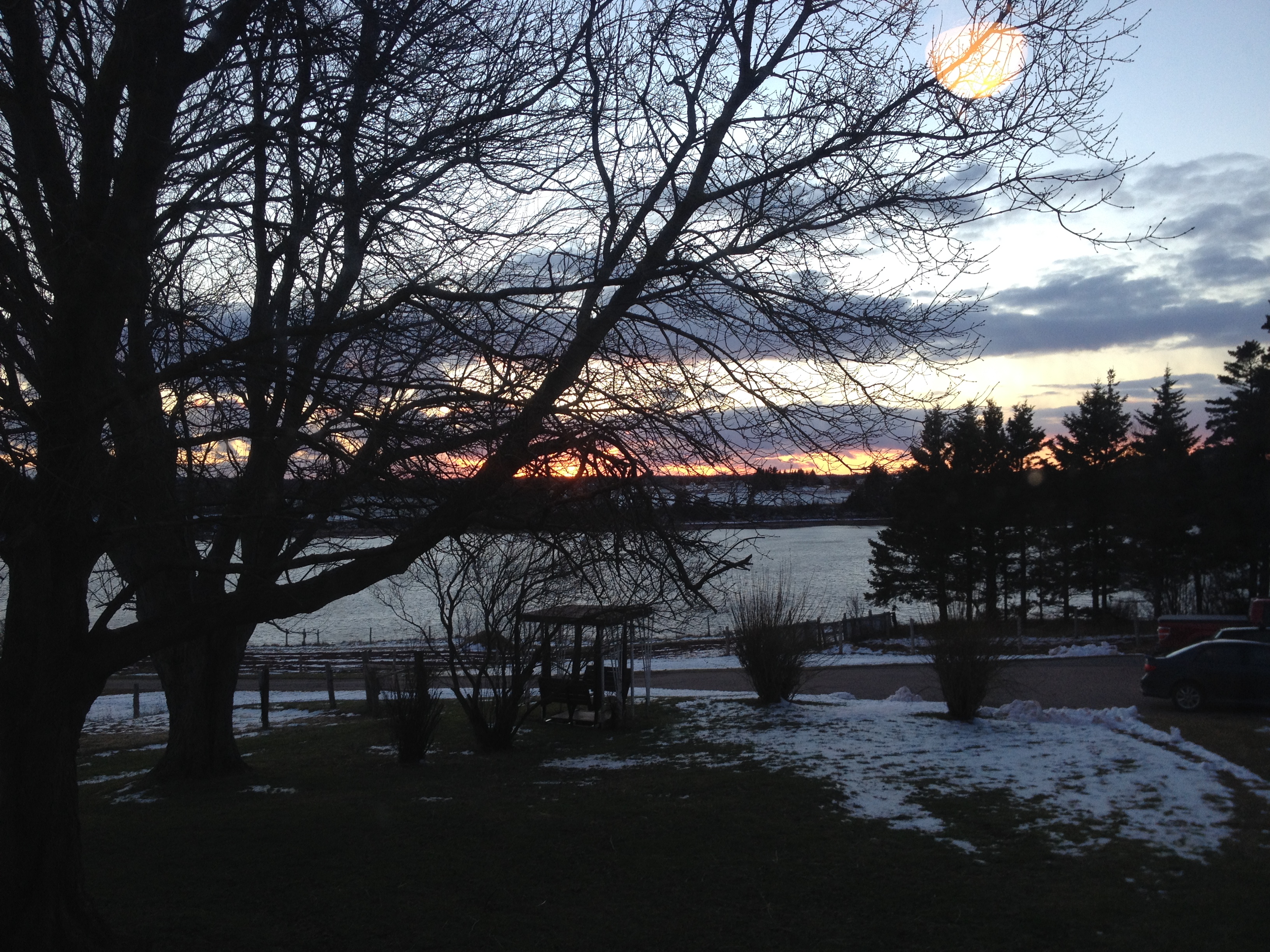
View of New London Bay at sunset.
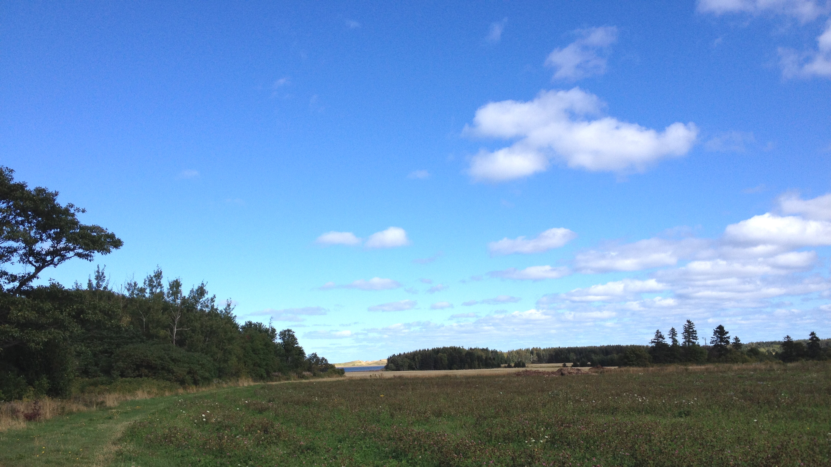
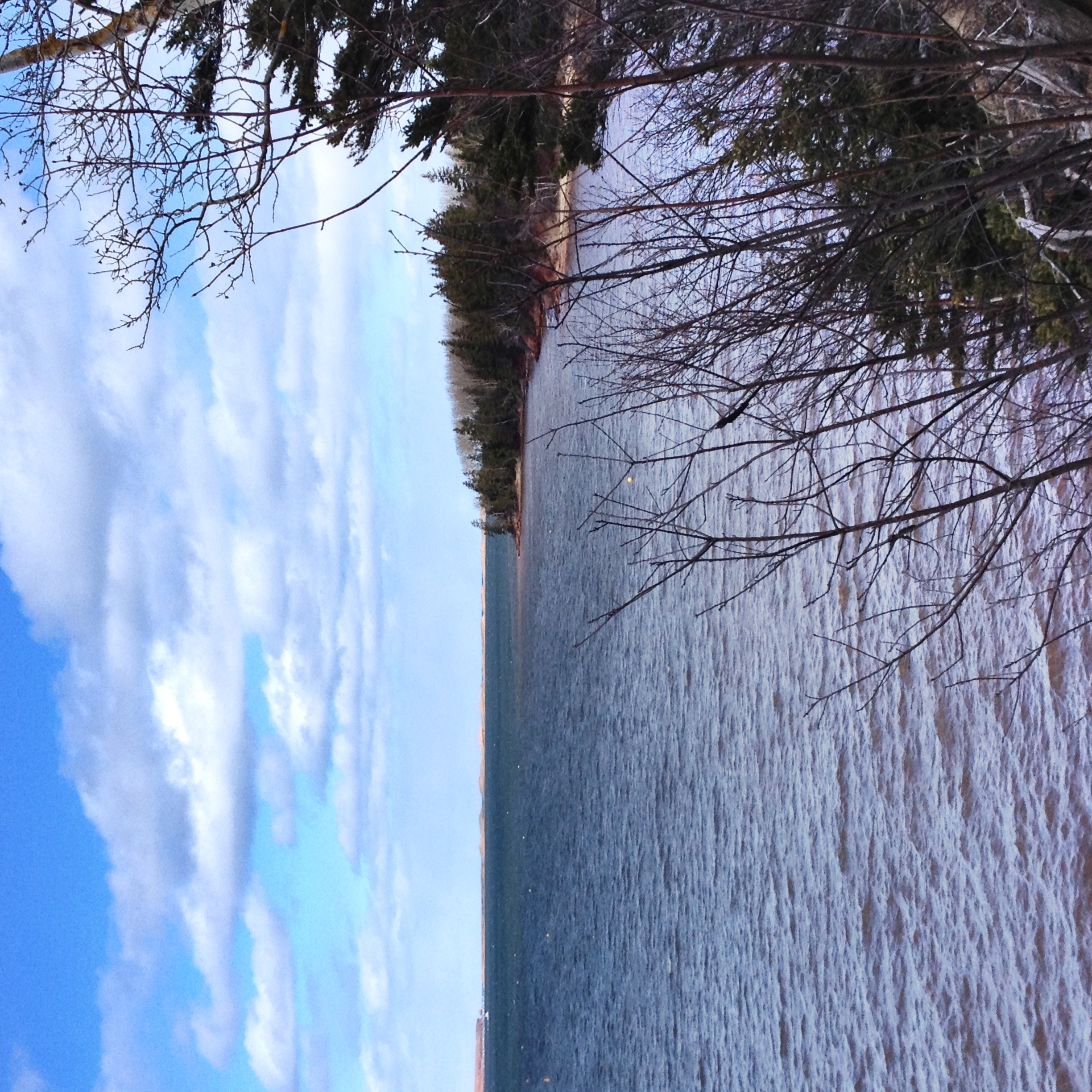
View of New London Bay.
View from Homestead Trail.

View of New London Bay from the bridge on the Homestead Trail.
View from the top of the hill behind Karen's house.
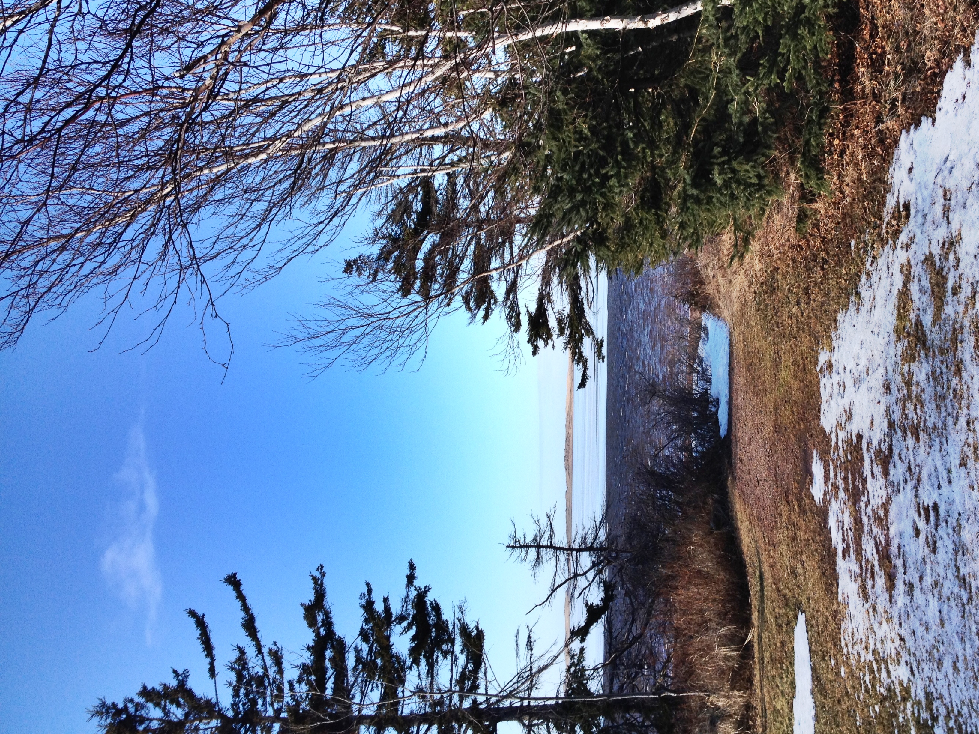
View toward French River.

Another view of the beach.
View towards Spring Brook.
The view off the back deck of the random lunch spot we stopped at on our third year anniversary day. Blown away by the sights on no filter island! #PEI #Gorgeous #BaySide #SeaSide #LocalFlavours #Love #Year4Ever

New Glasgow, PEI

View of the bay from Bruce's gazebo.

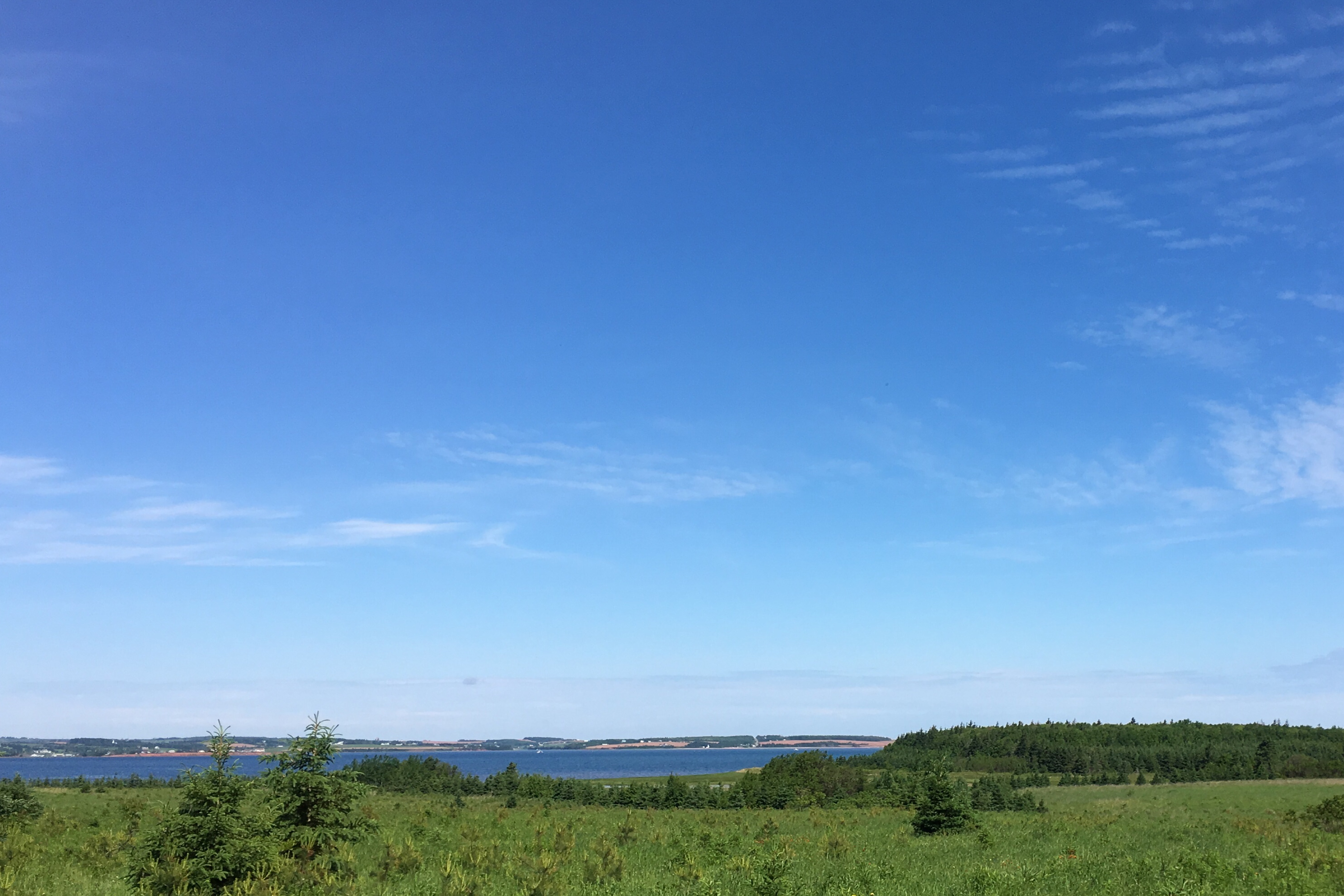
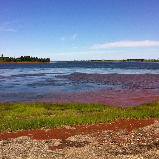
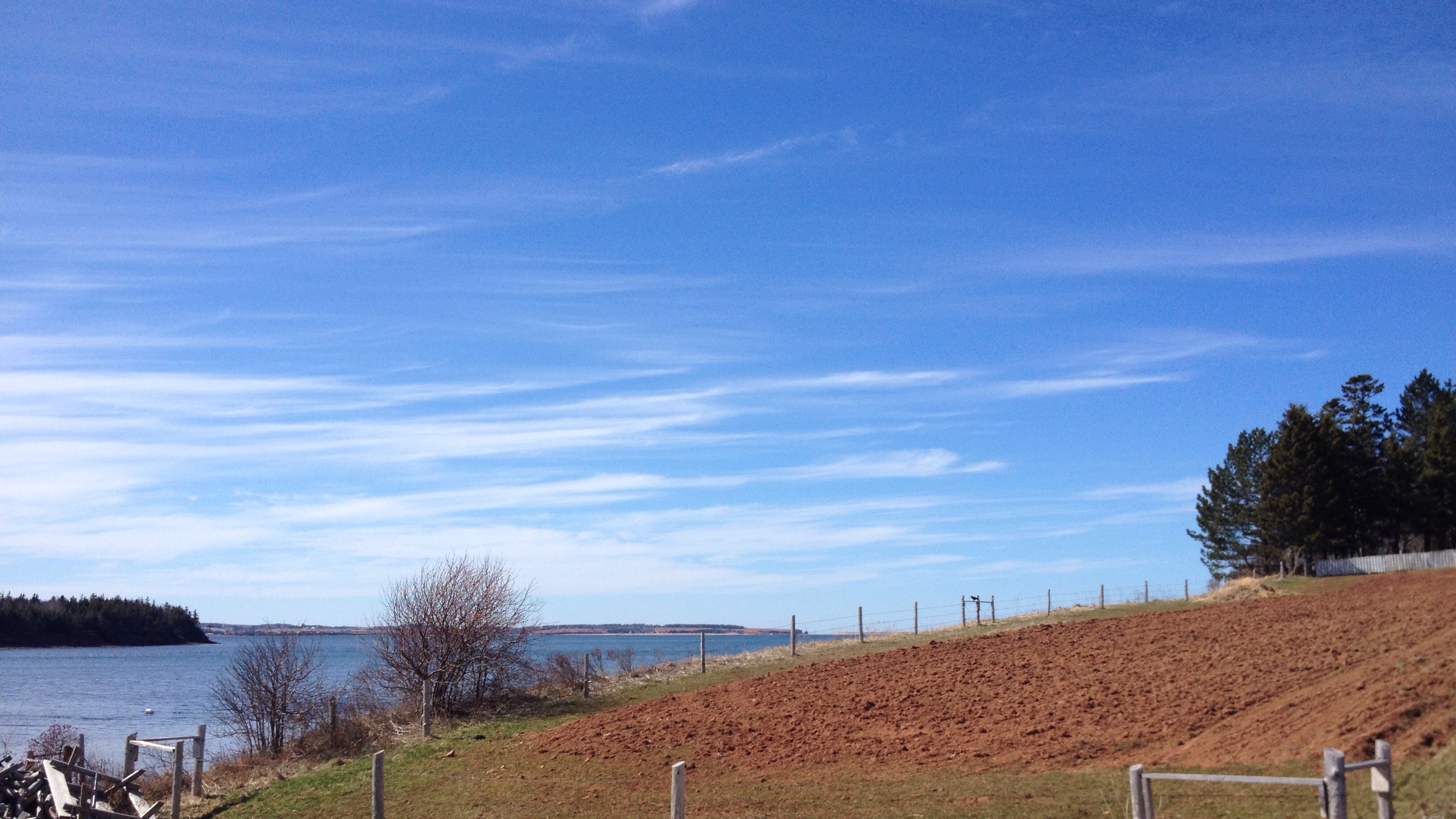
View across New London Bay.

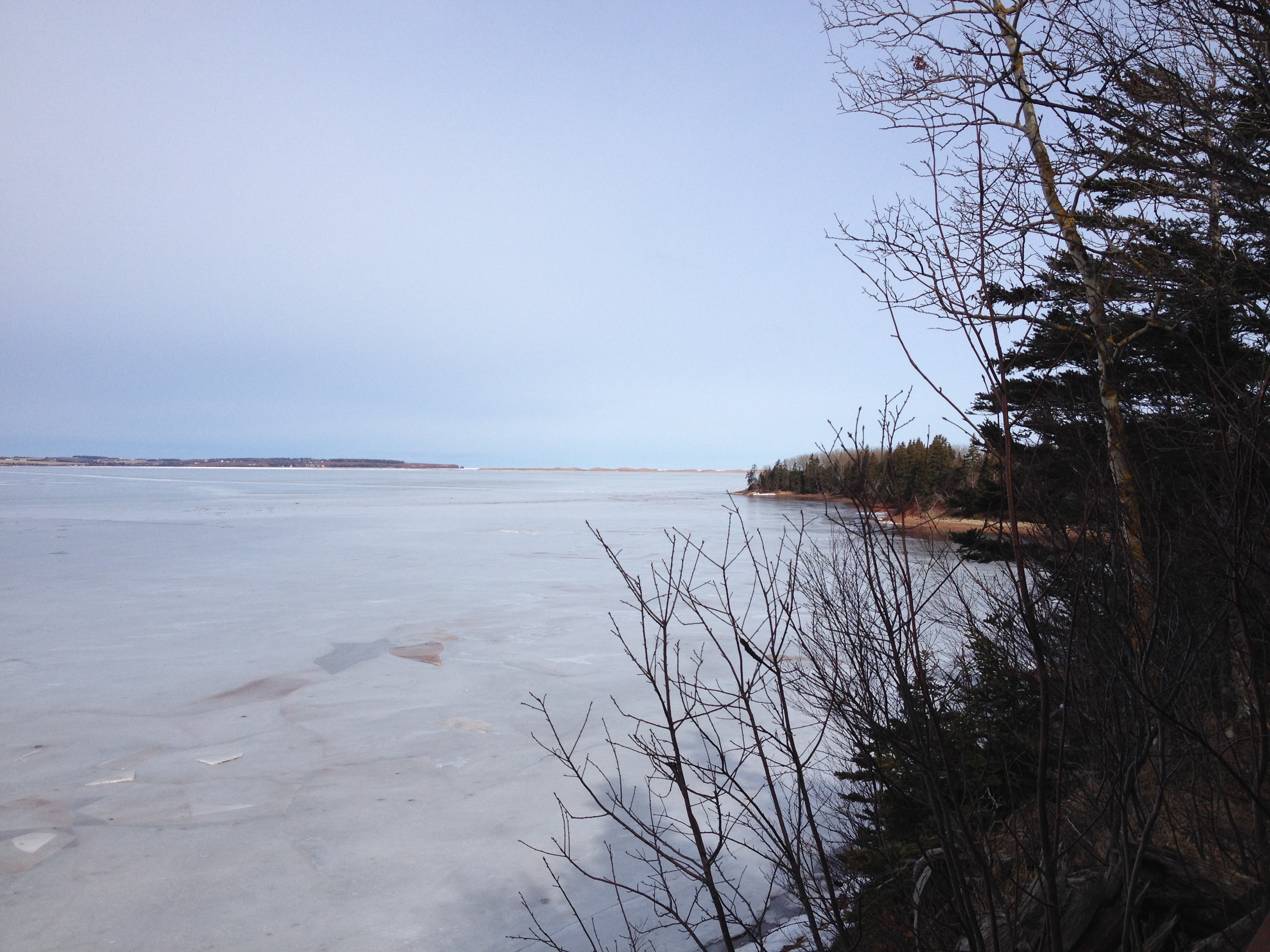
View towards the sand dunes.
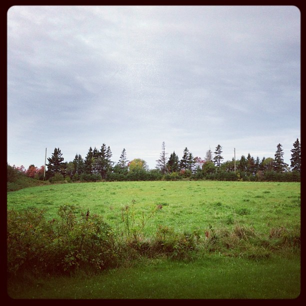
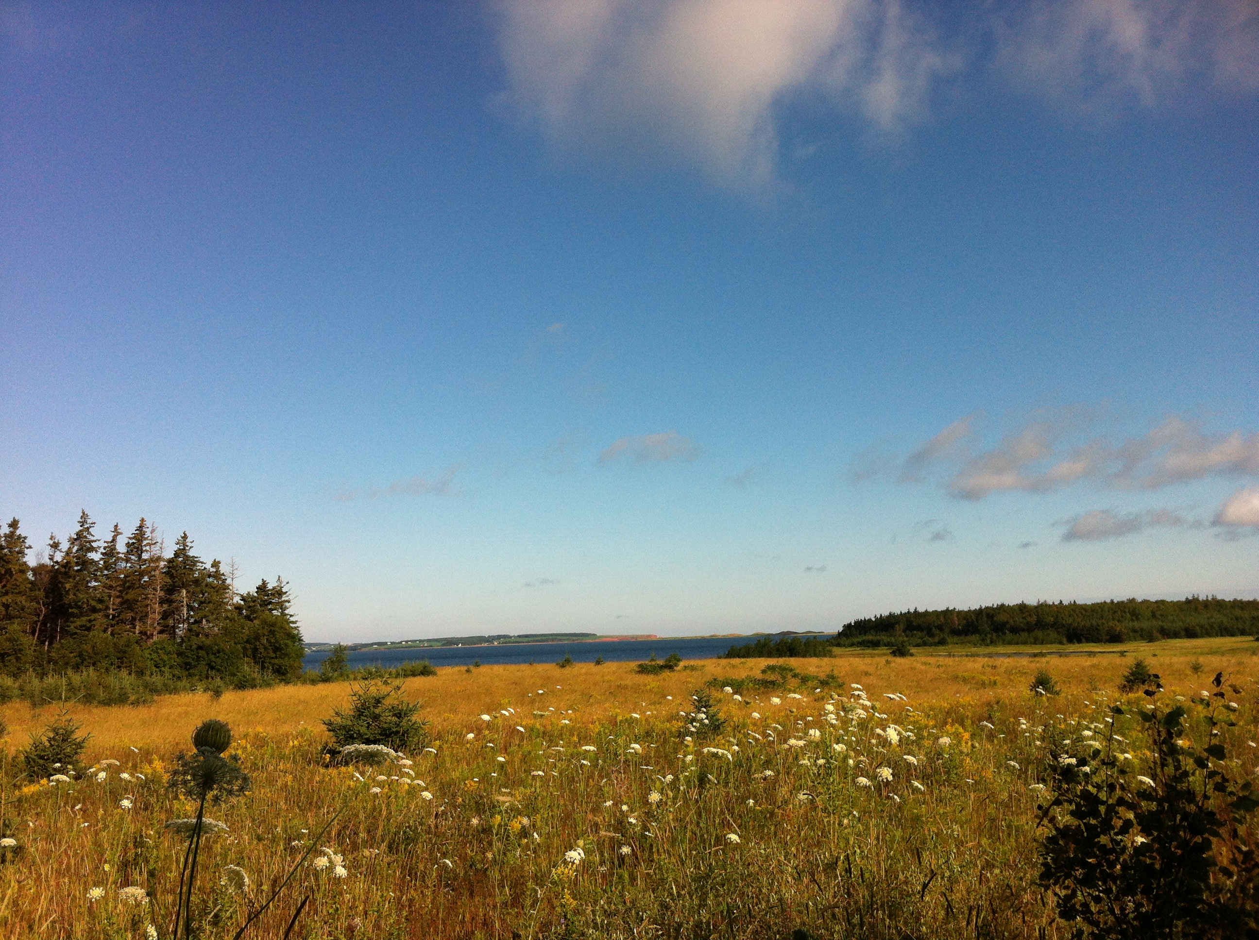
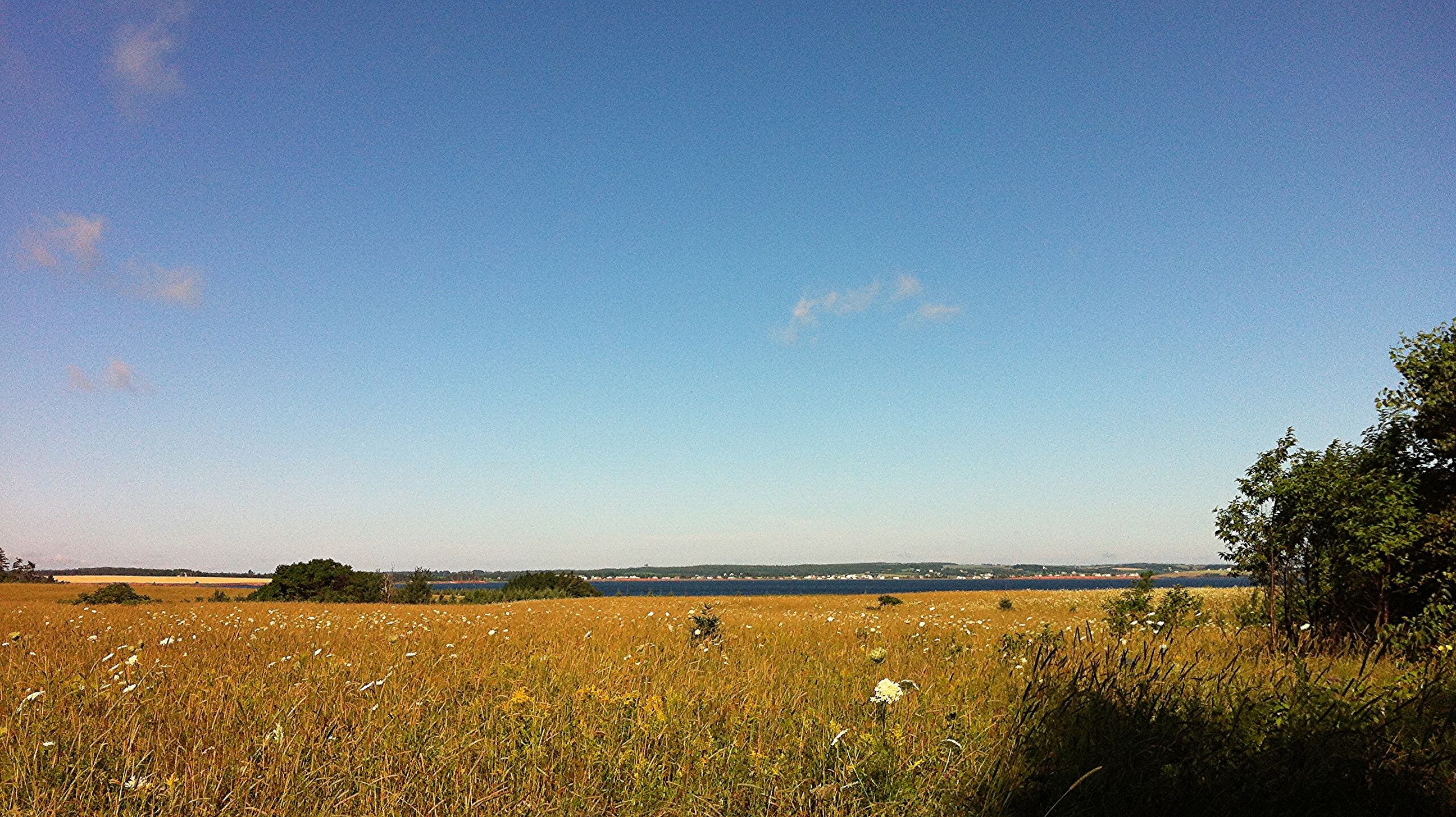
View from the field behind Karen's house.
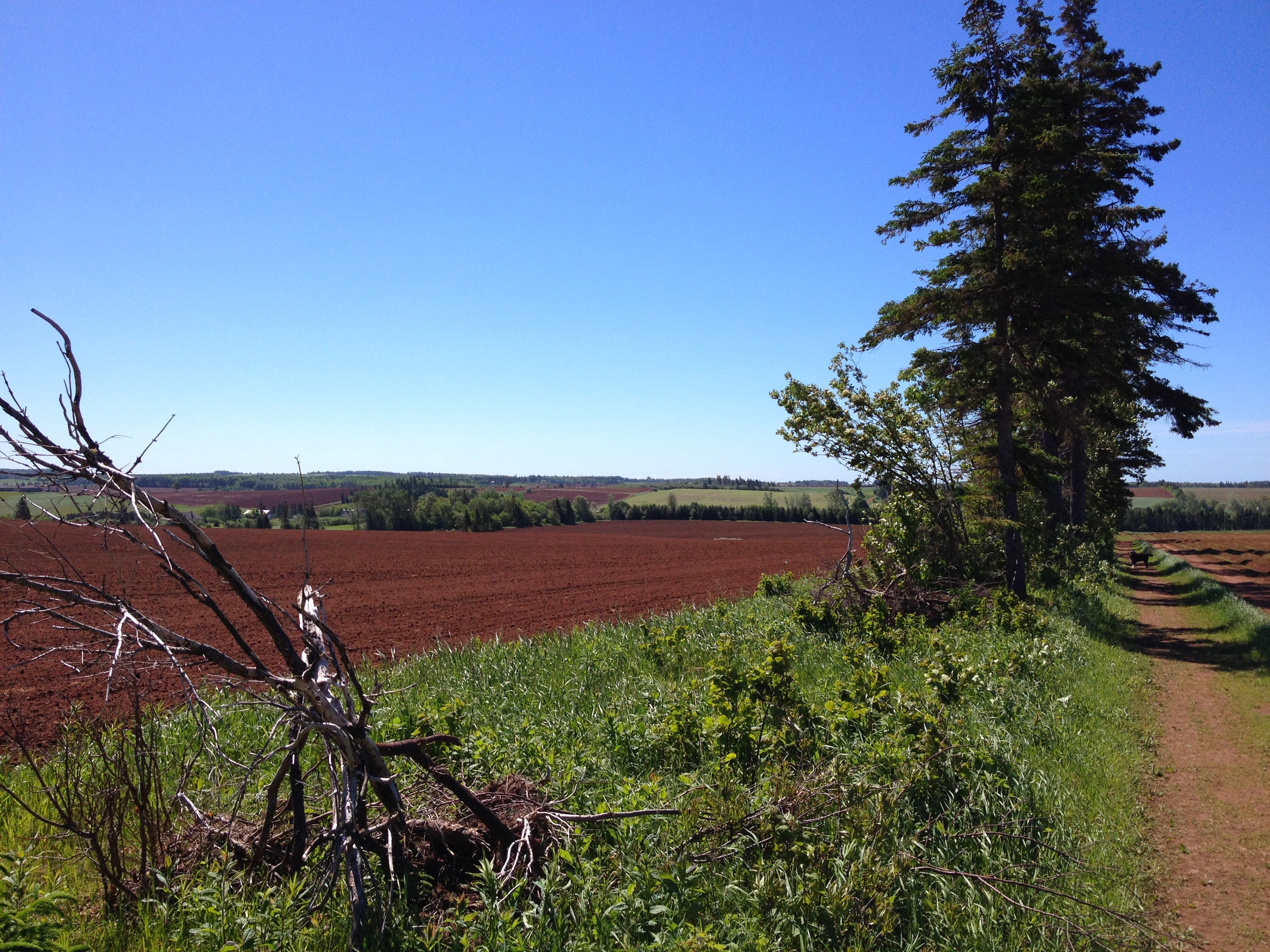
One year of pictures 2015, September 26: View of fields from David's farm down towards the water.
View of bay from Bruce's gazebo.
View from the lane on a beautiful day,
View from Susan's swing.

The Old Barn
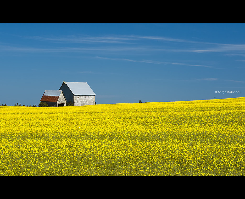
Fields of Yellow
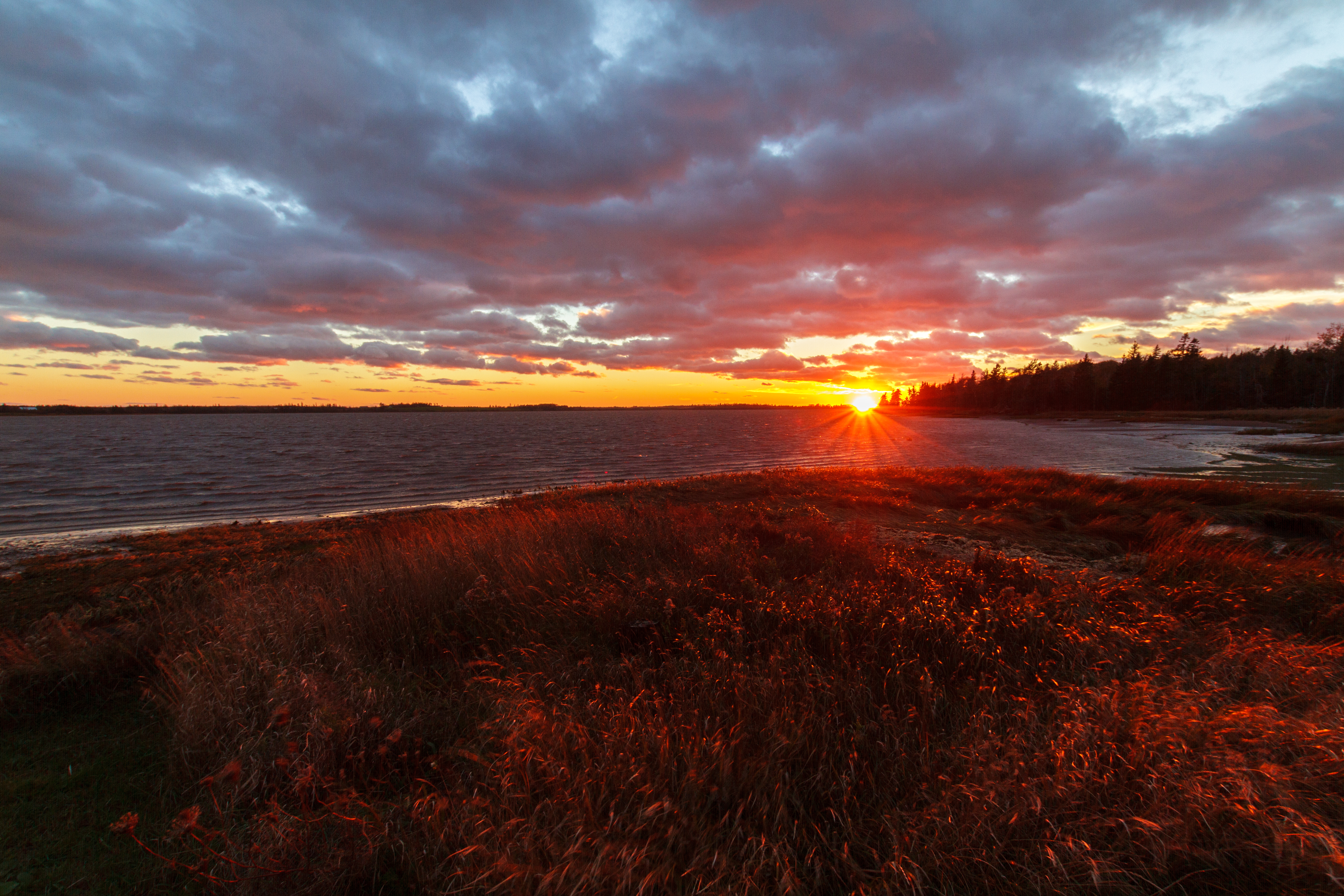
Windy Island Sunset
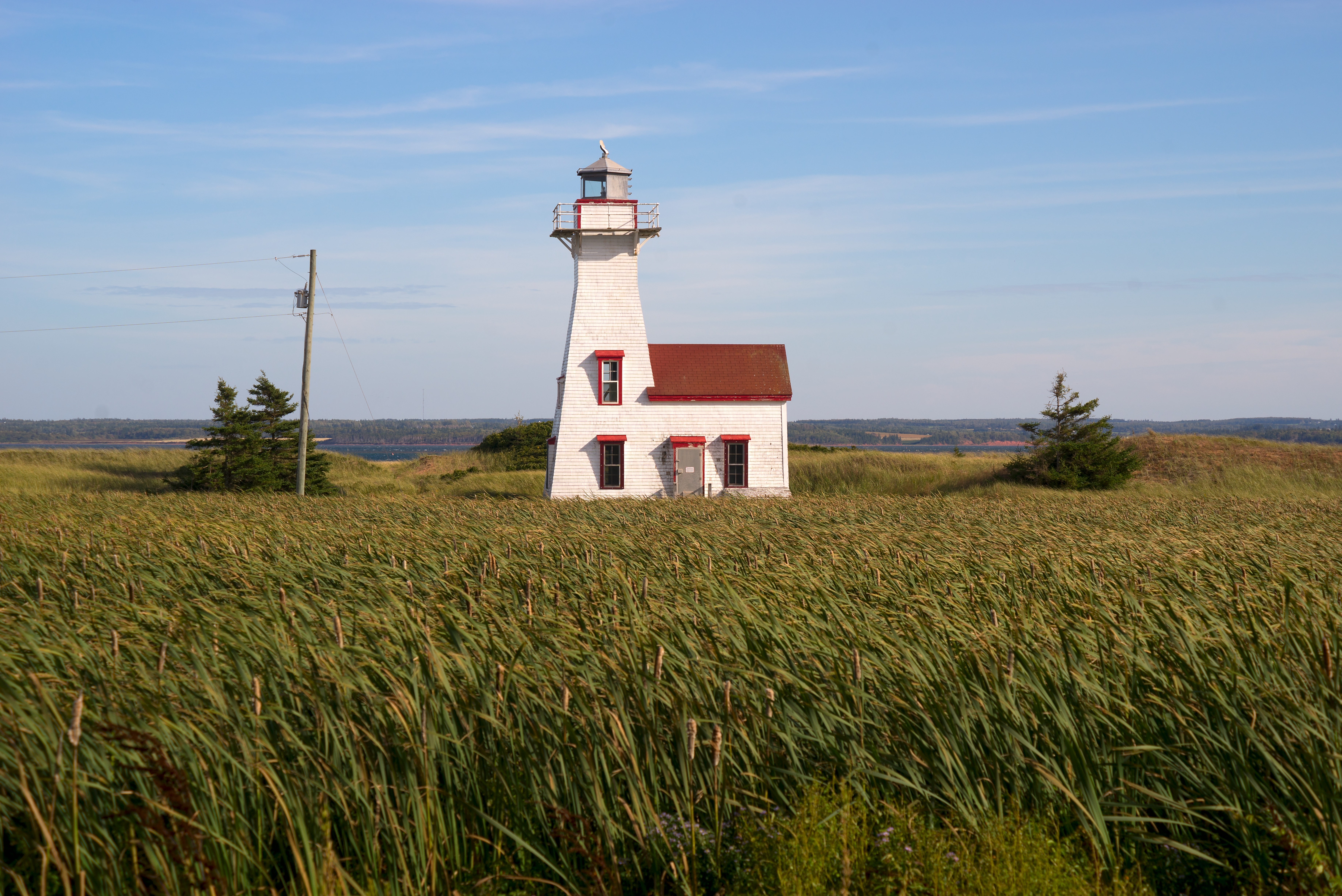
New London Range Rear Lighthouse
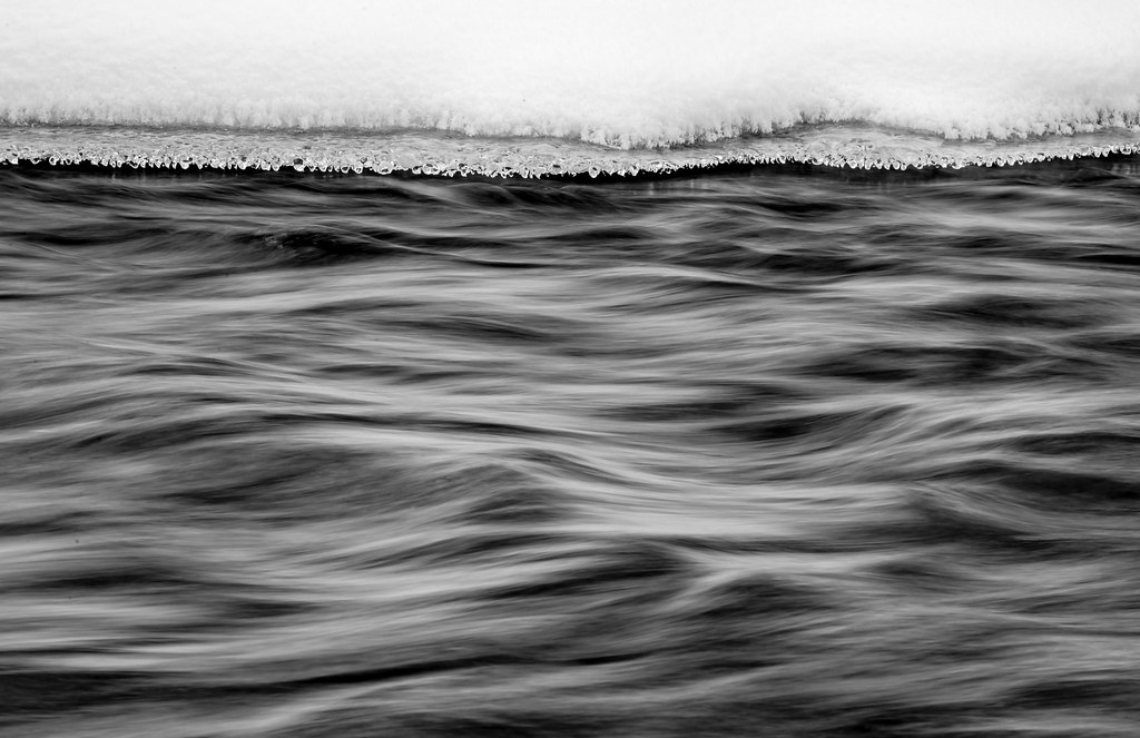
Along the River

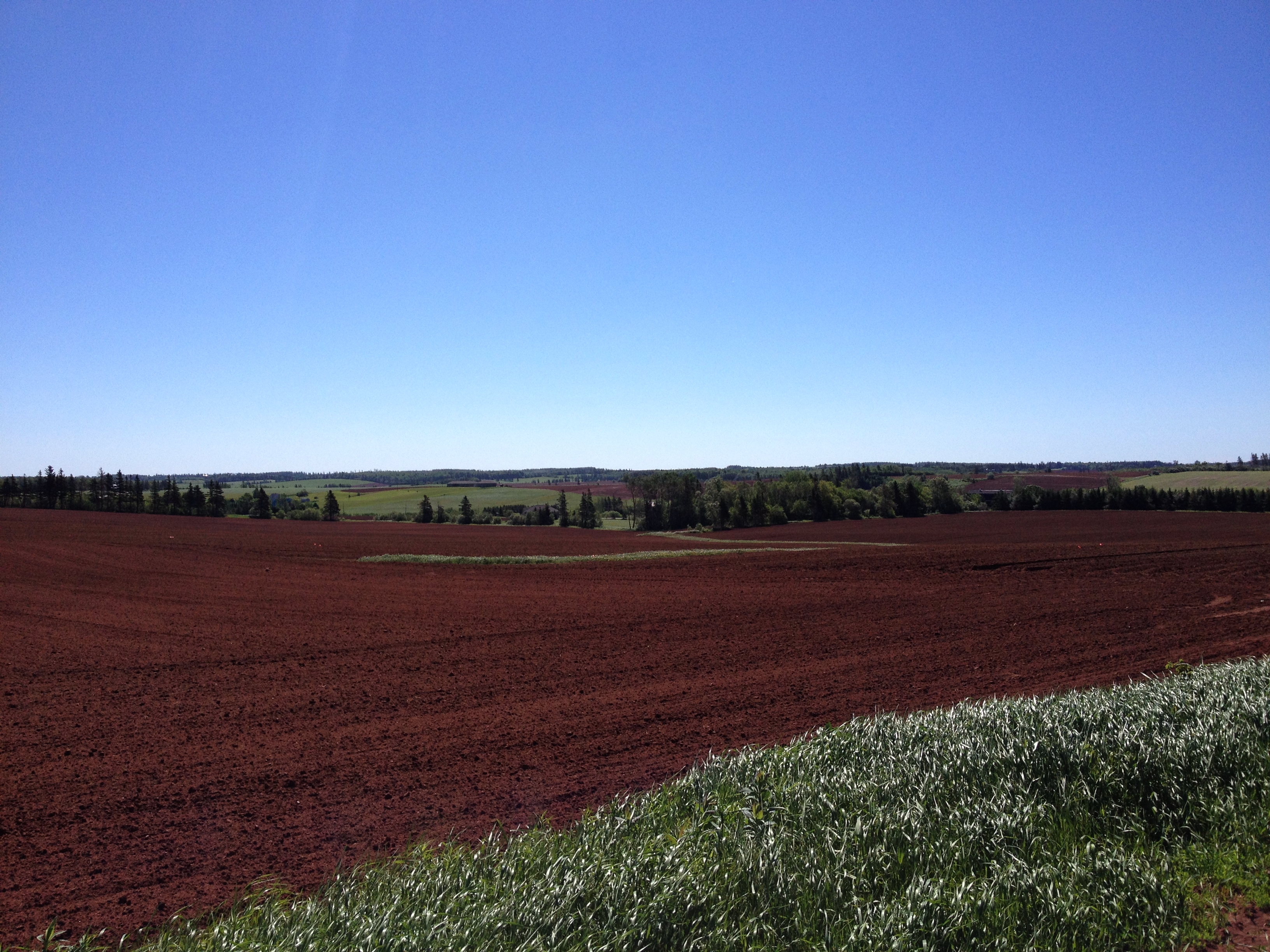
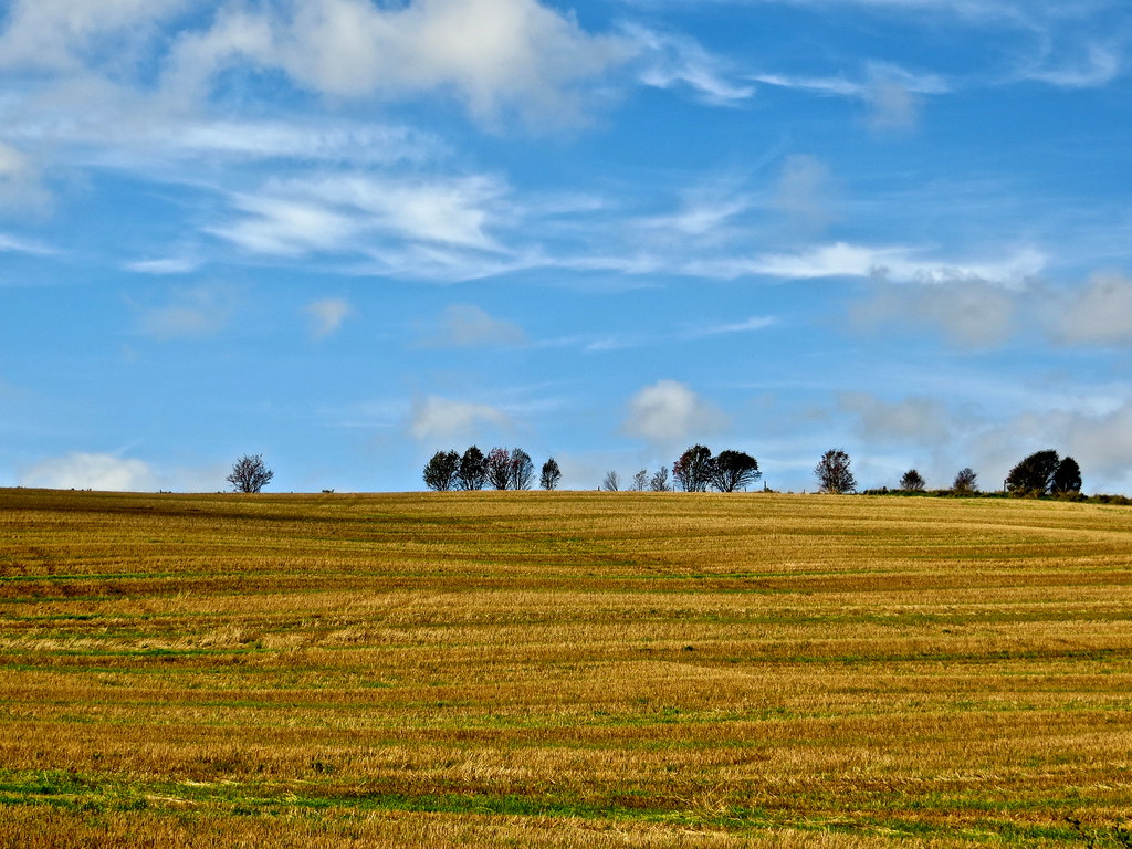
Field, near Kensington, PEI

Need more orange in the buildings....but I like the blue in the sky
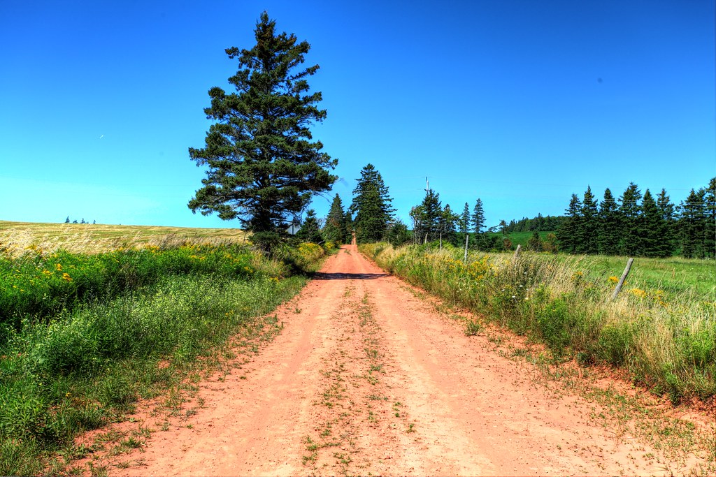
Back road on PEI, HDR

Cliffs at Old Cape Tryon Light
PEI 2013

Spuds. #pei
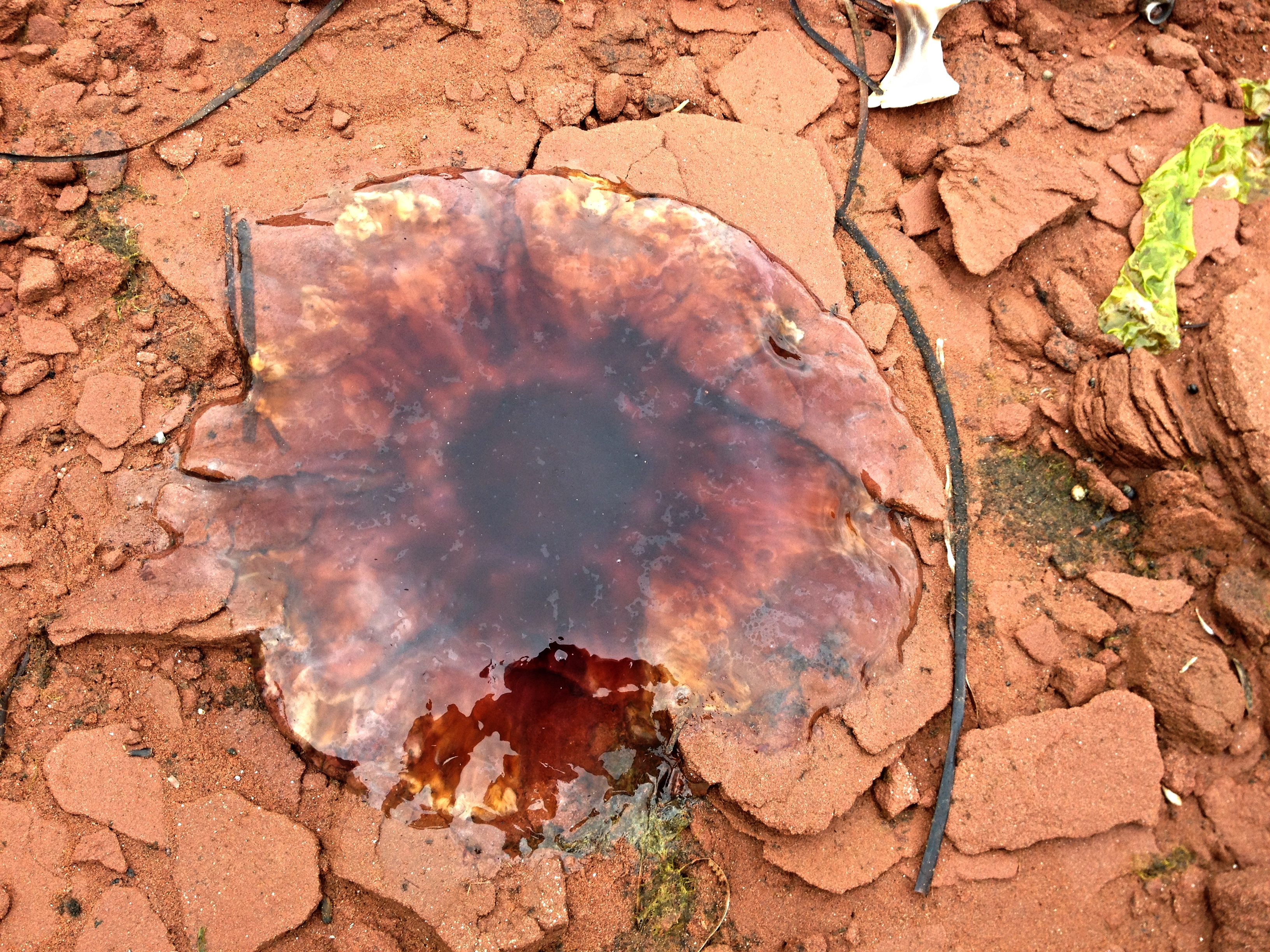
Dead jellyfish on the rocks.

New London Range Rear lighthouse
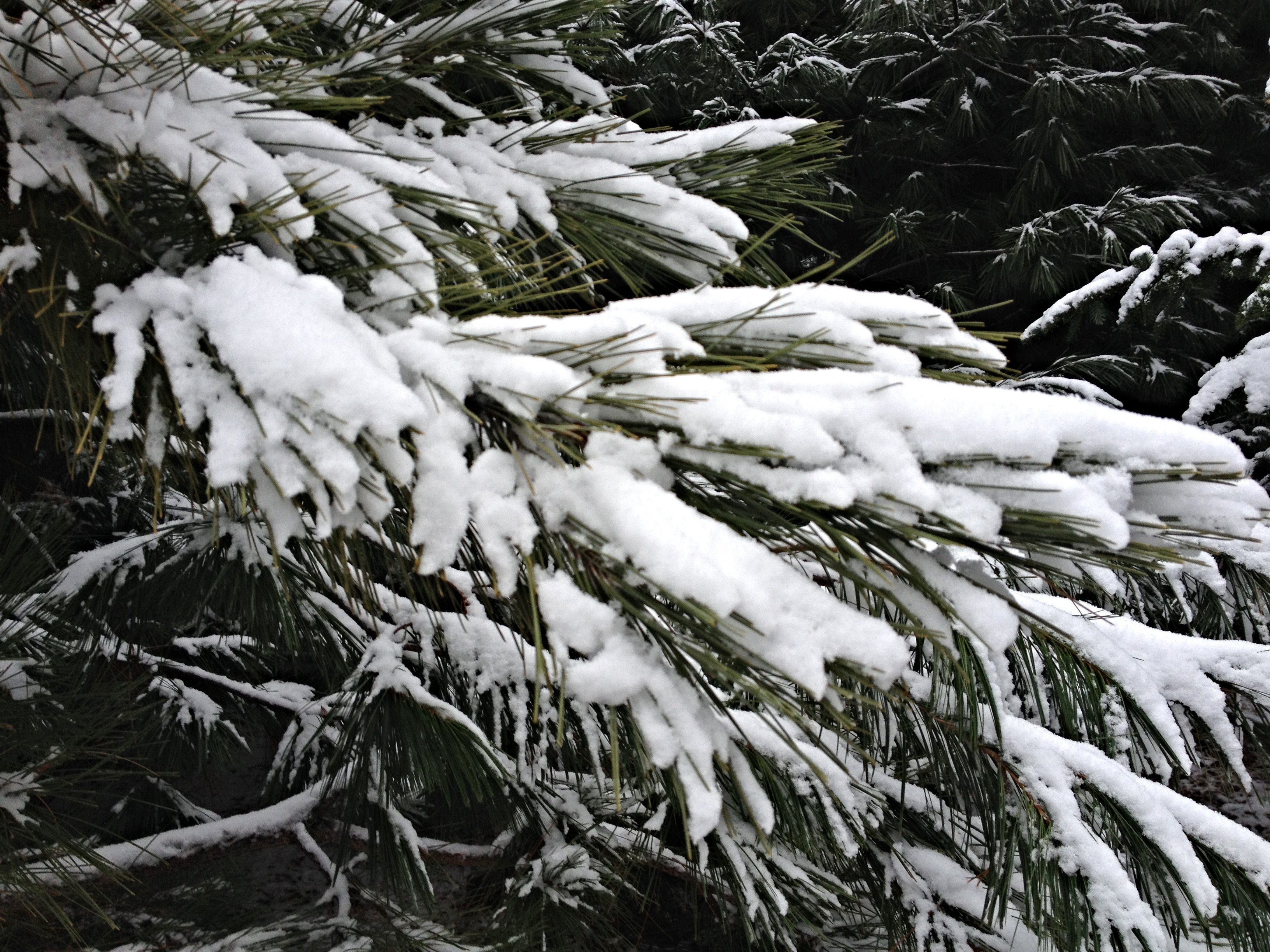
Snow on the pine branches.
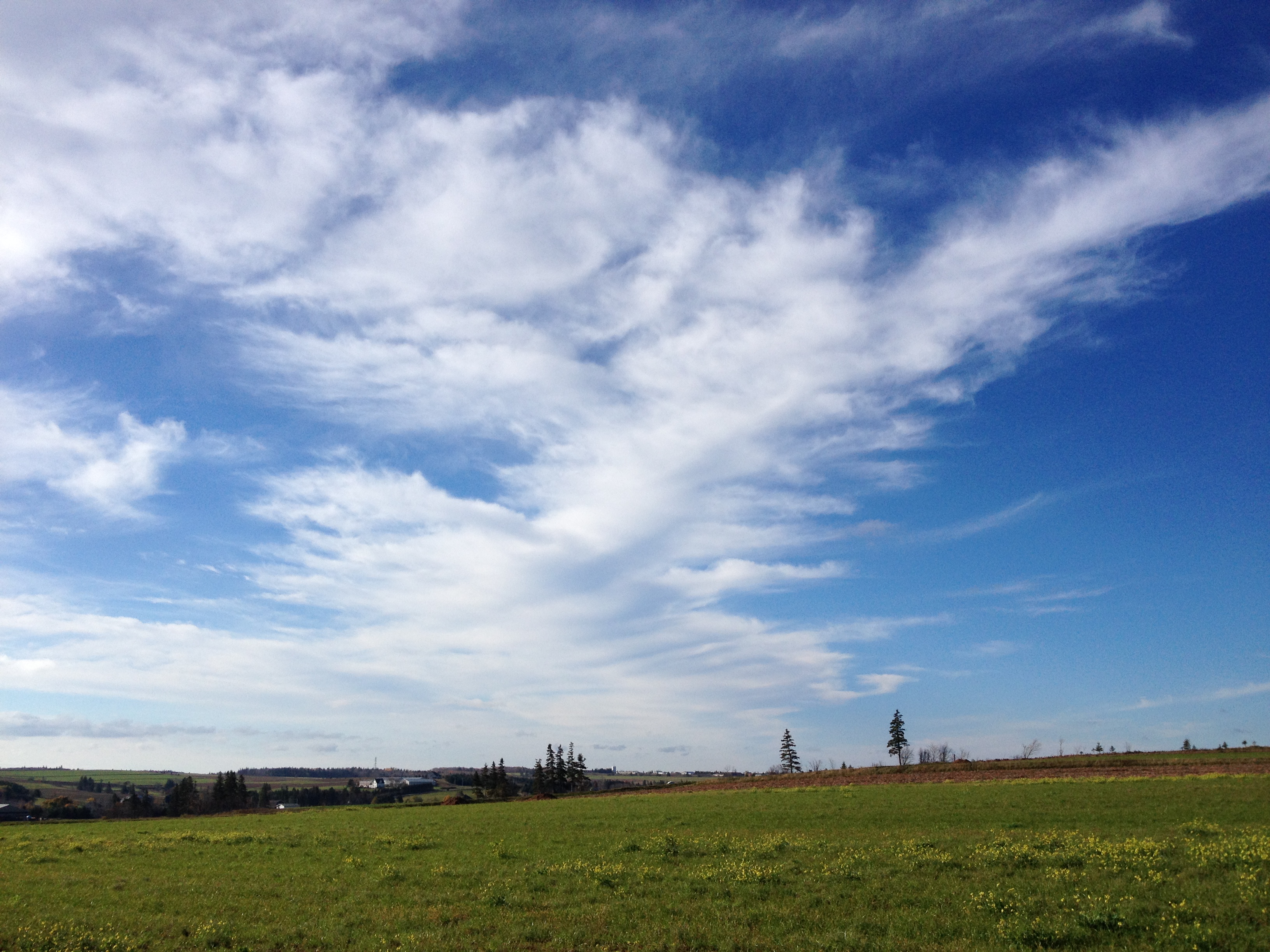
One year of pictures 2014, no. 303: Pretty sky over the field behind Karen and Chris's house.
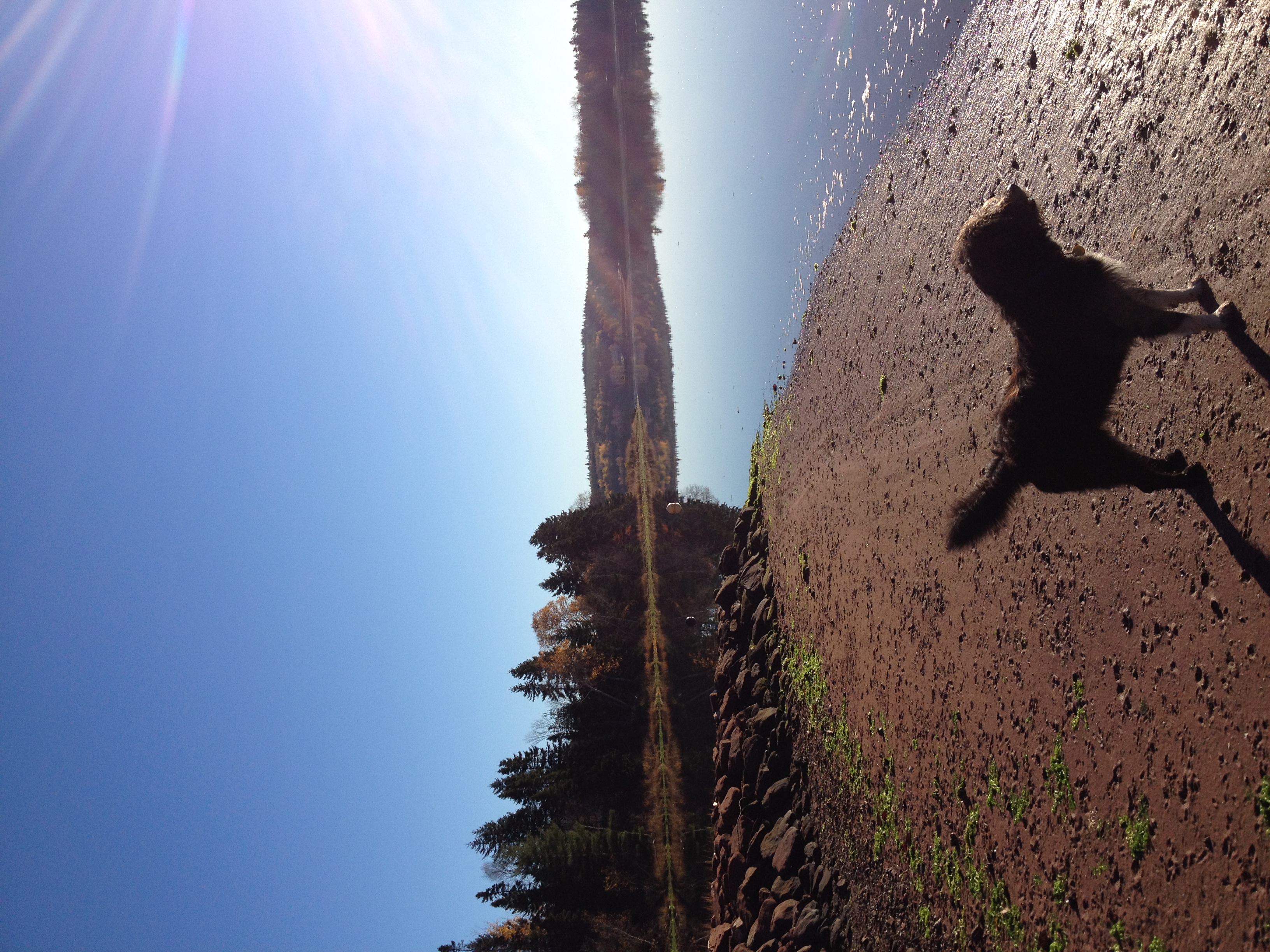
Clifford on the beach.

Dogs on the beach.
Topographic Map of Grahams Rd, Kensington, PE C0B 1M0, Canada
Find elevation by address:

Places near Grahams Rd, Kensington, PE C0B 1M0, Canada:
County Line Rd, Breadalbane, PE C0A 1E0, Canada
Breadalbane
37 Hilltop Rd
Freetown
Kelvin Rd, Kensington, PE C0B 1M0, Canada
Kinkora
74 Anderson Rd, Kinkora, PE C0B 1N0, Canada
3421 Dixon Rd
3378 Dixon Rd
1500 County Line Rd
Lot 67
Fredericton
52 Fredericton Station Rd
New Orleans Rd, New Glasgow, PE C0A 1N0, Canada
Lot 22
1217 New Orleans Rd
42 Clyde Rd, New Glasgow, PE C0A 1N0, Canada
Springton
Lot 28
60 Tobin Rd, Albany, PE C0B 1A0, Canada
Recent Searches:
- Elevation of Tenjo, Cundinamarca, Colombia
- Elevation of Côte-des-Neiges, Montreal, QC H4A 3J6, Canada
- Elevation of Bobcat Dr, Helena, MT, USA
- Elevation of Zu den Ihlowbergen, Althüttendorf, Germany
- Elevation of Badaber, Peshawar, Khyber Pakhtunkhwa, Pakistan
- Elevation of SE Heron Loop, Lincoln City, OR, USA
- Elevation of Slanický ostrov, 01 Námestovo, Slovakia
- Elevation of Spaceport America, Co Rd A, Truth or Consequences, NM, USA
- Elevation of Warwick, RI, USA
- Elevation of Fern Rd, Whitmore, CA, USA