Elevation of Lot 67, PE C0A, Canada
Location: Canada > Prince Edward Island > Queens County >
Longitude: -63.454744
Latitude: 46.3242295
Elevation: 81m / 266feet
Barometric Pressure: 100KPa
Elevation Map:
Satellite Map:
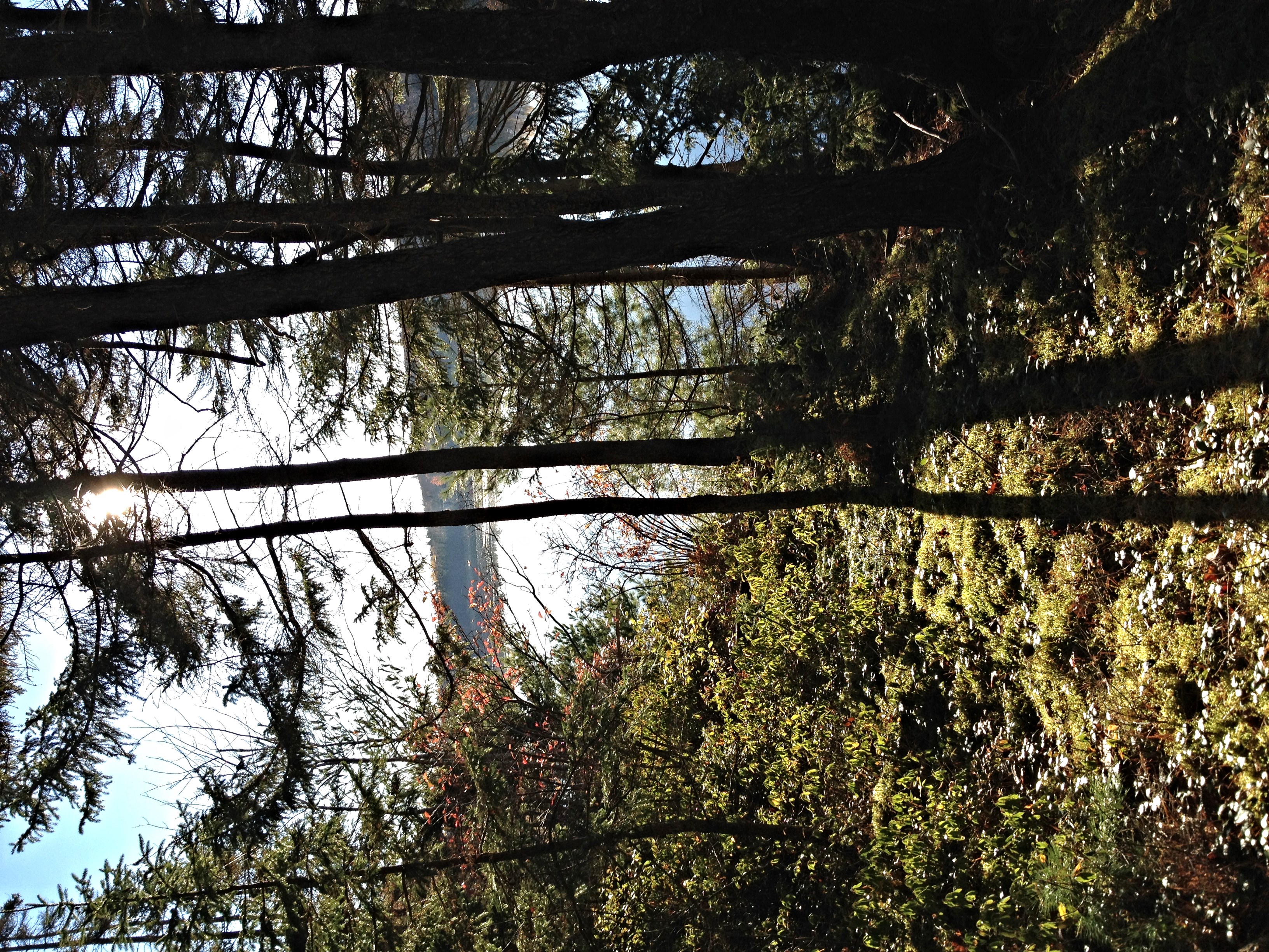
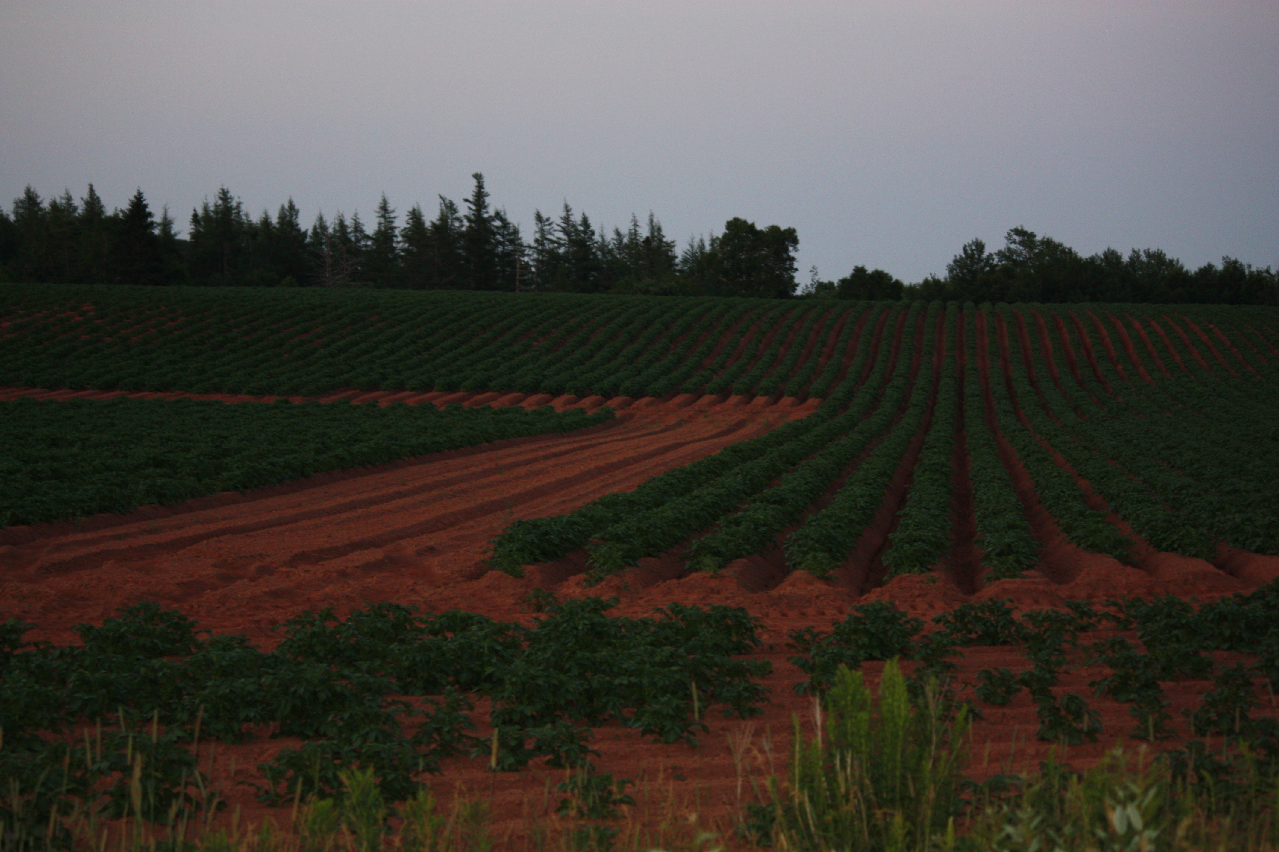
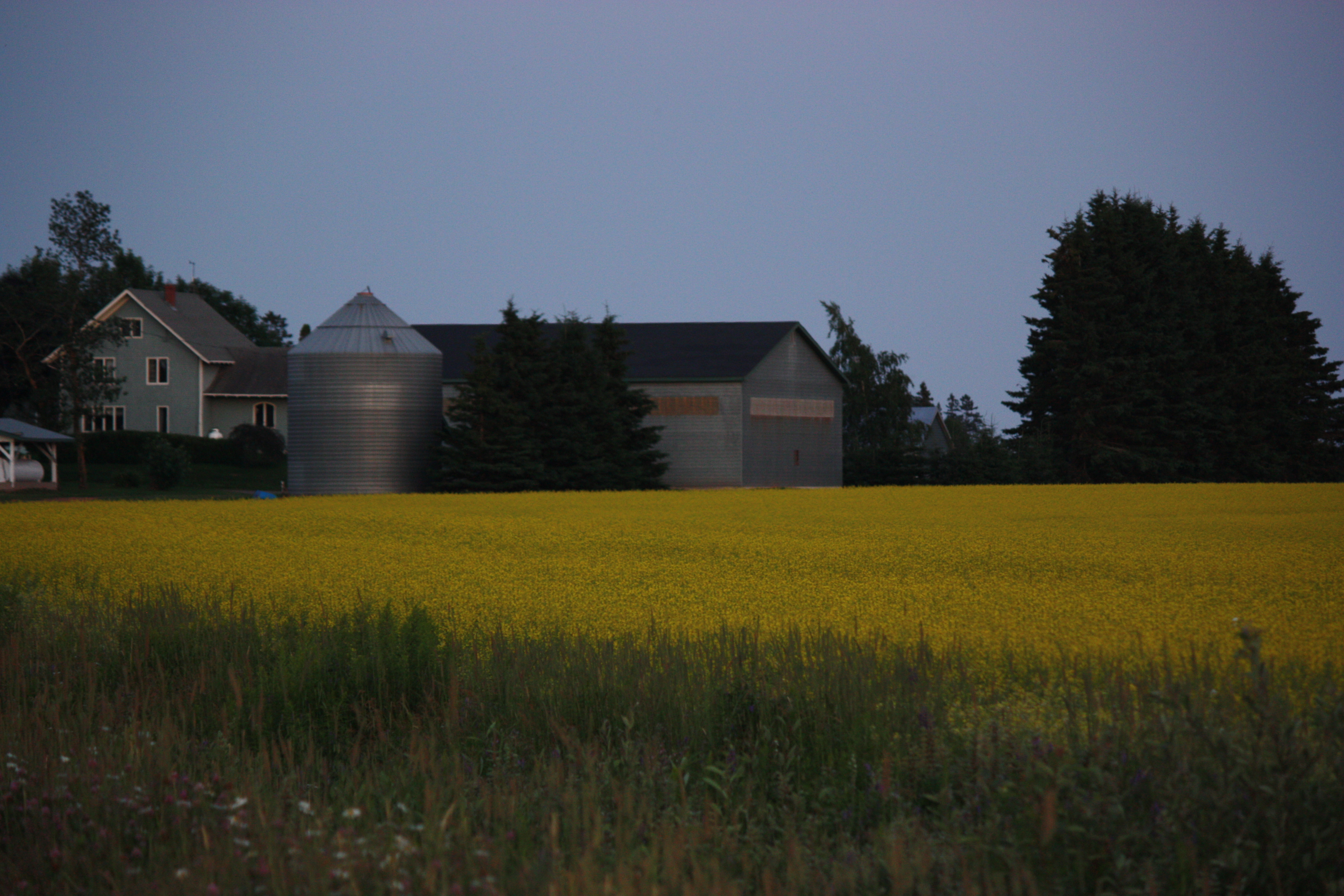
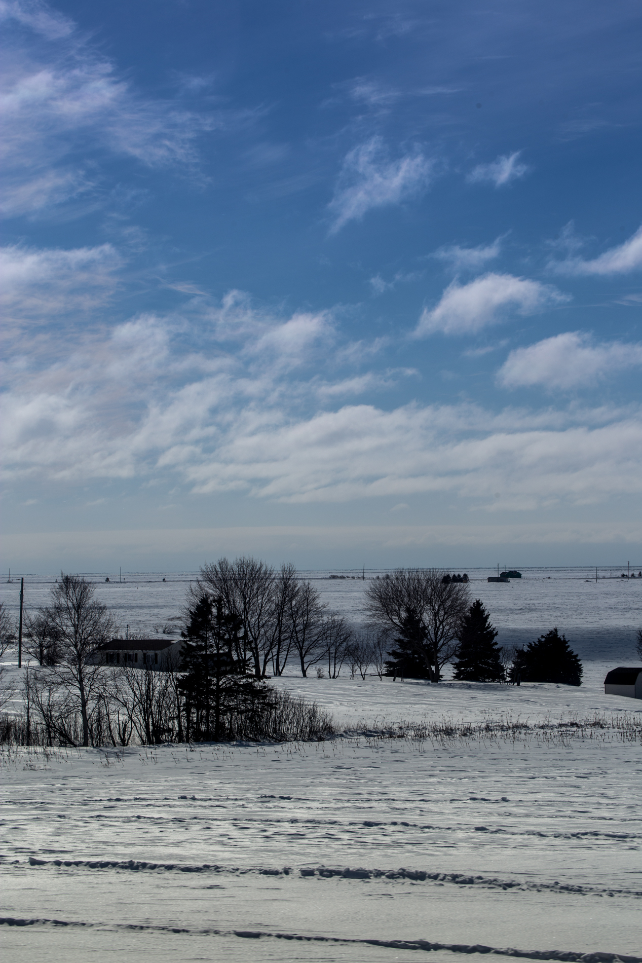
Related Photos:
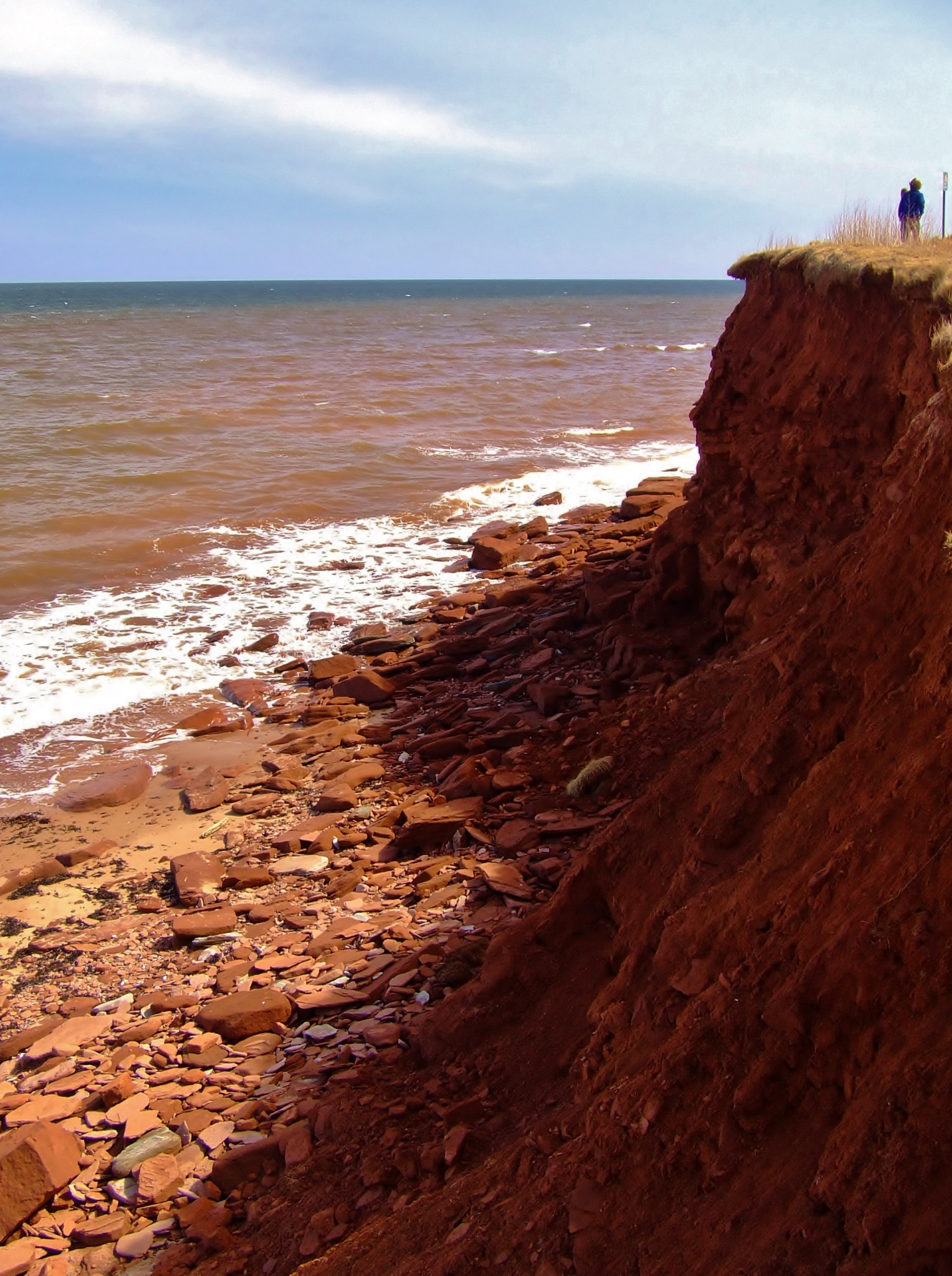
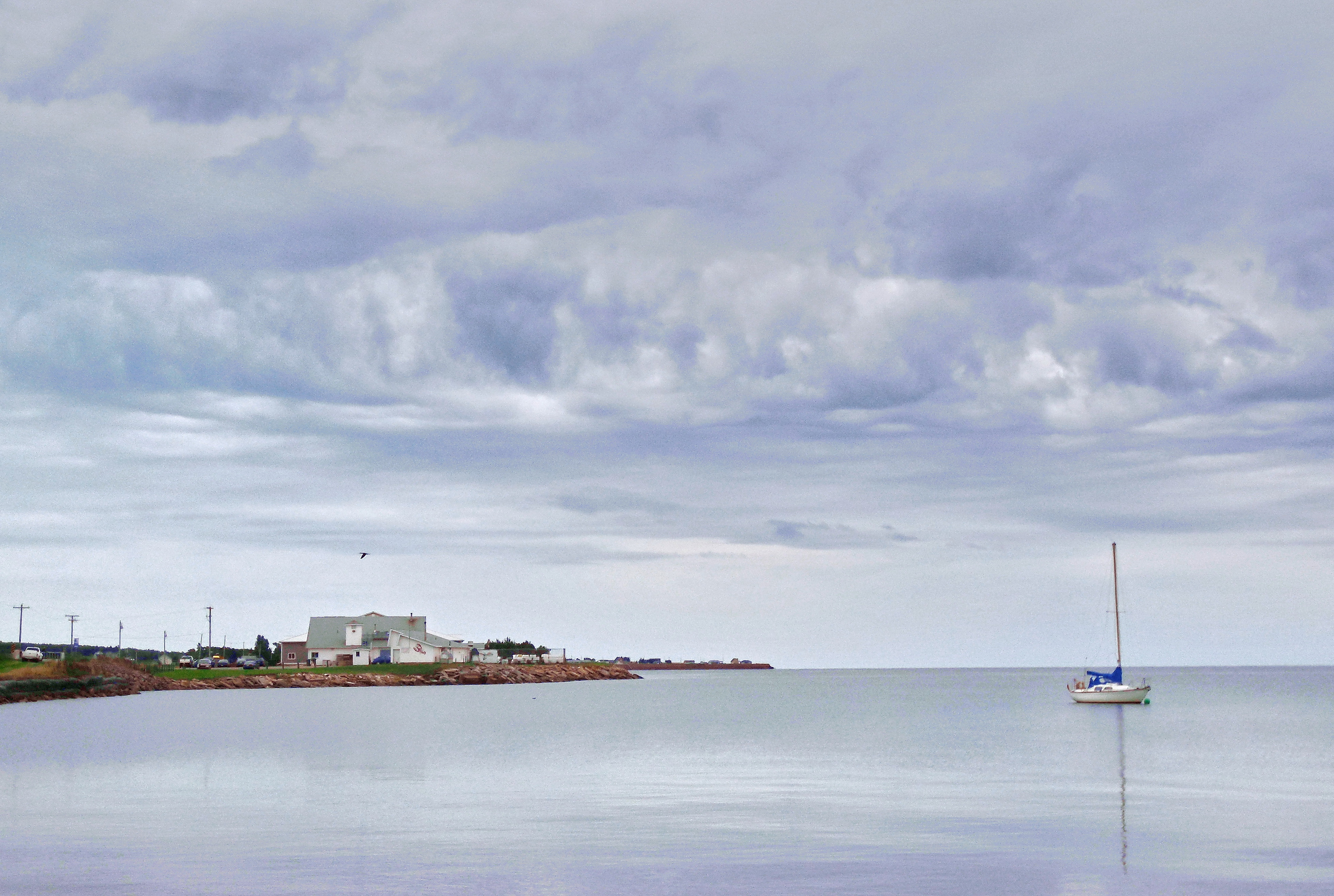
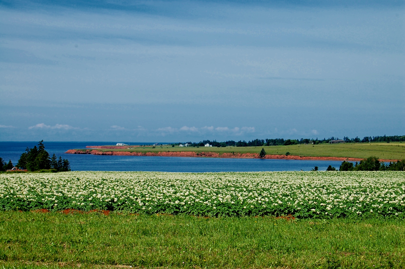
Island Shoreline I
South Granville, PEI

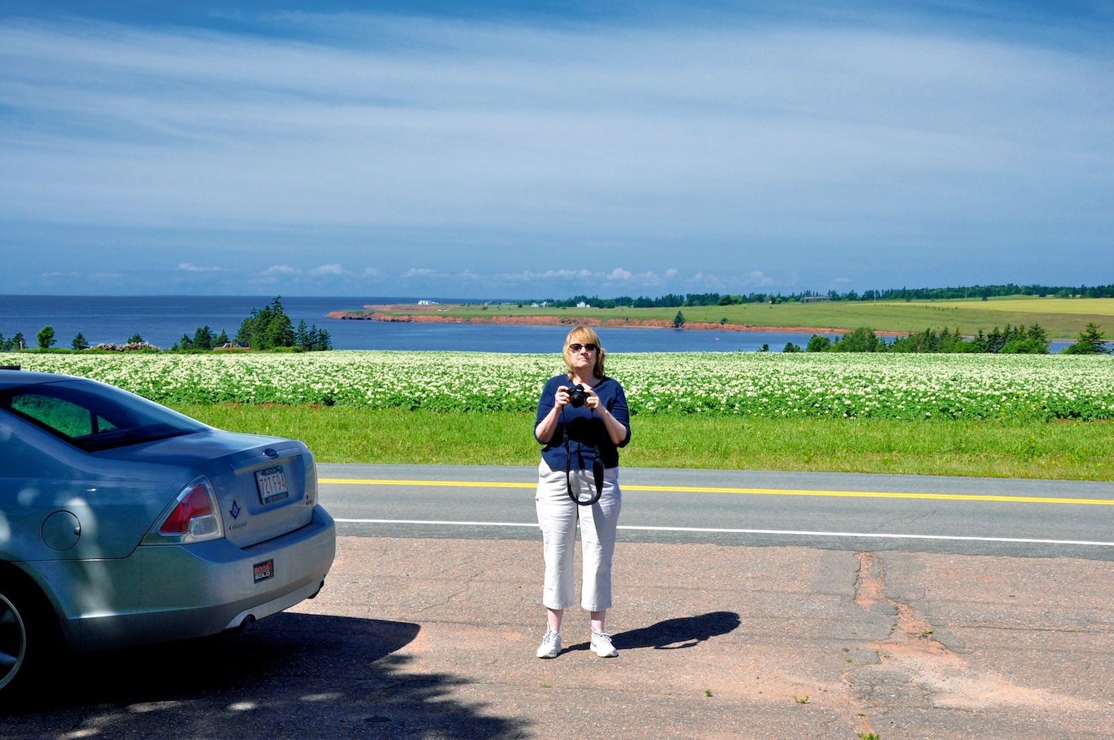
Lunch time view
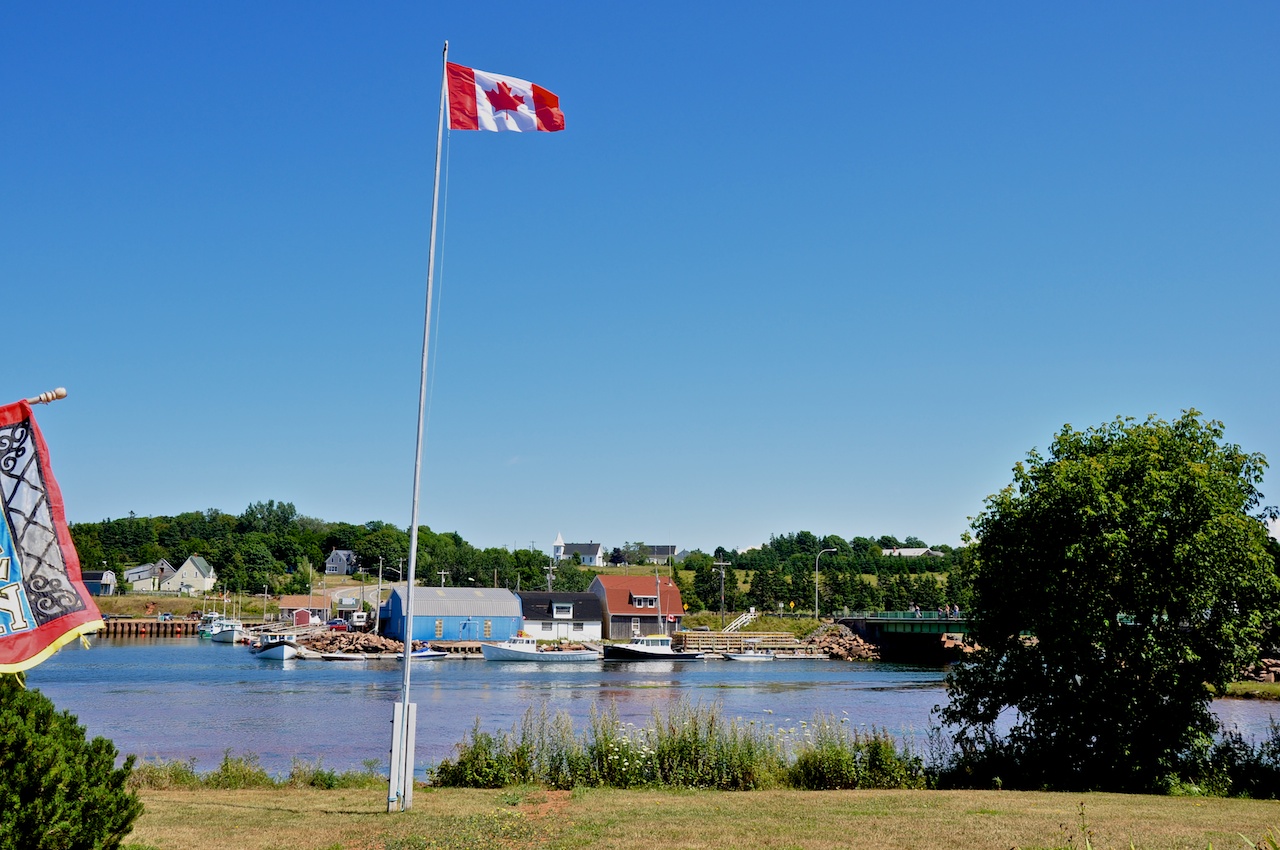
View of the Oyster boats at Stanley Bridge (2012 pic)
Hunter River, PEI

Lunch time view
One year of pictures 2015, June 17: View of New Glasgow from the Preserve Company.
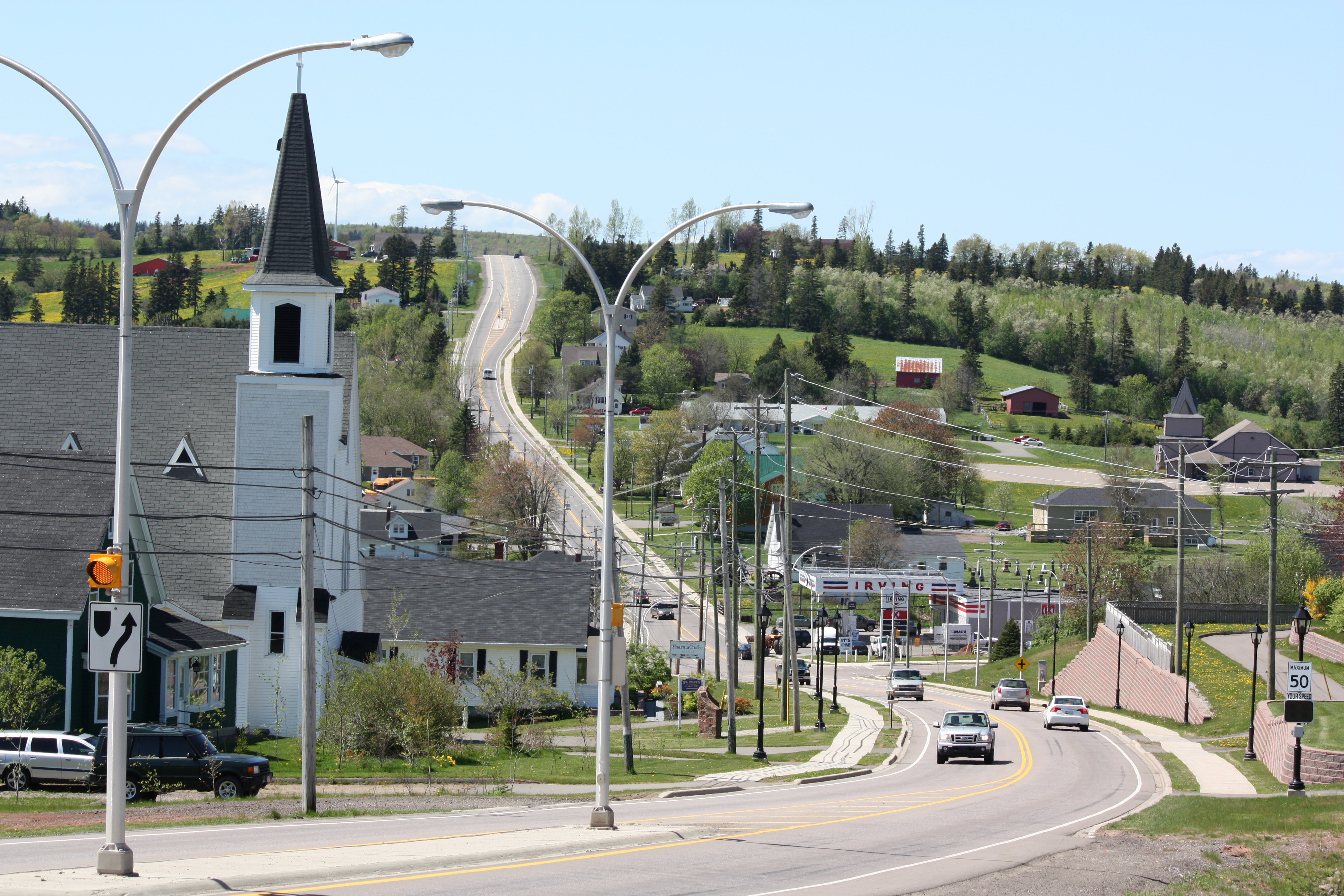
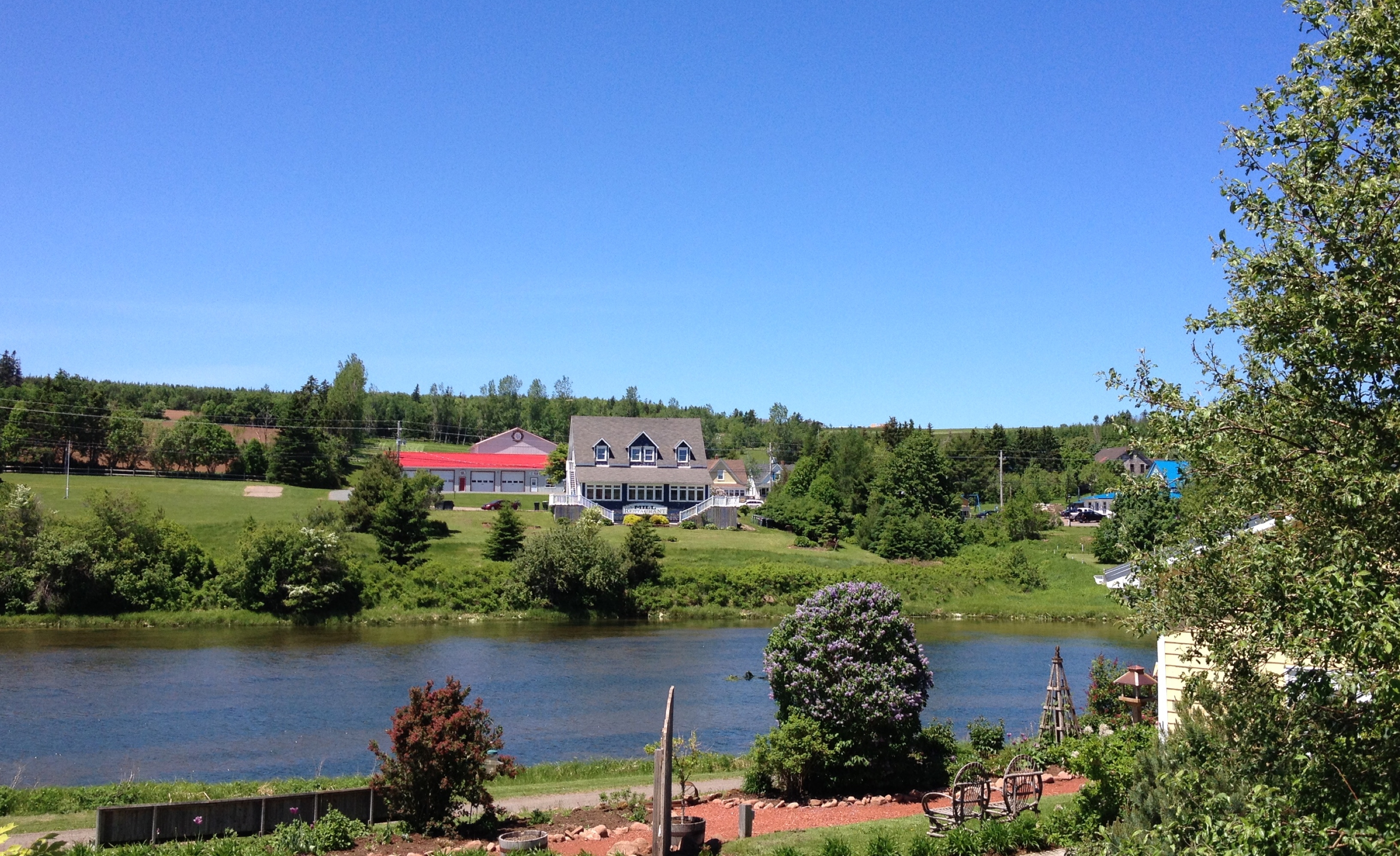
New Glasgow, PEI
New Glasgow, PEI

New Glasgow, PEI

New Glasgow, PEI
View across the church
Last view of the little boat that could not sail.
View across the church
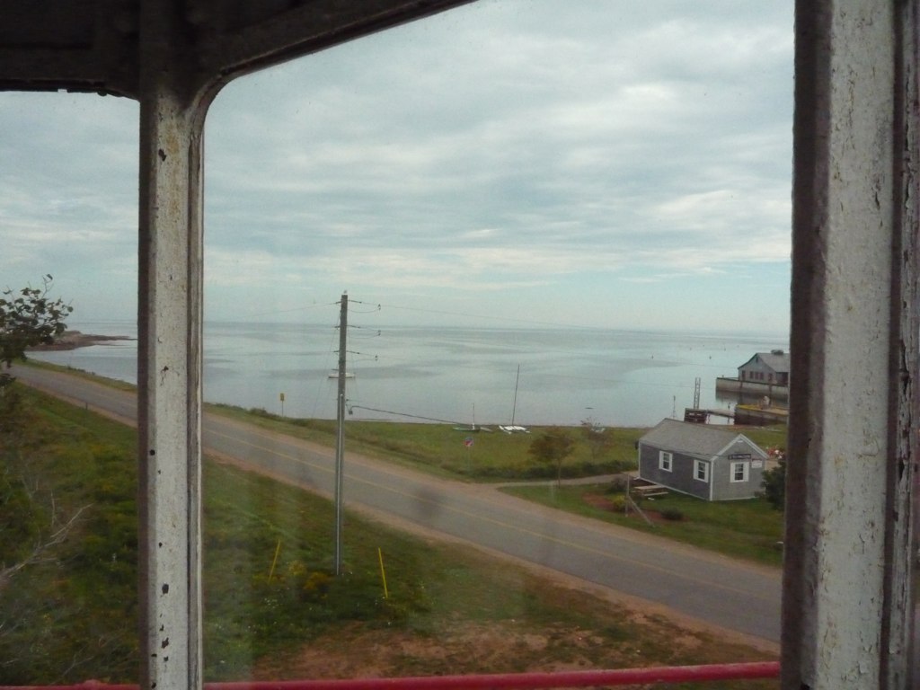
View from the top
View across the church
View across the church

Day 1671 - Day 210
View across the church
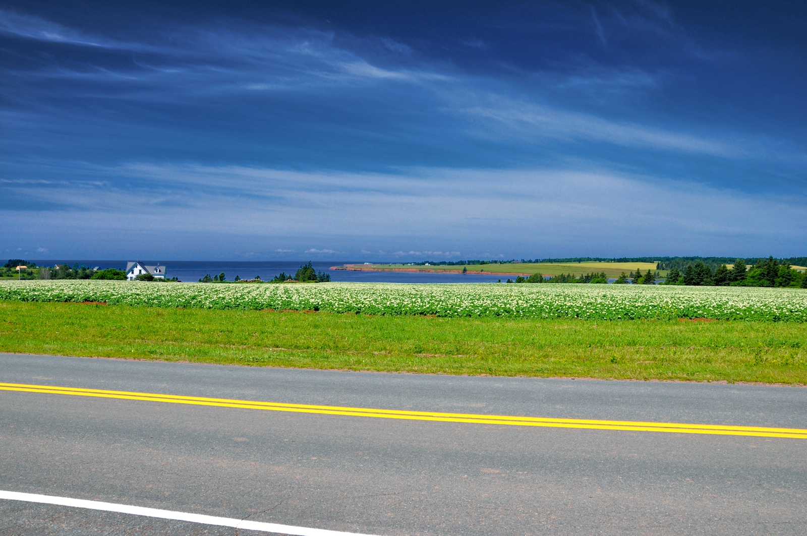
View looking back to Crapaud

View across the church (distance focus)

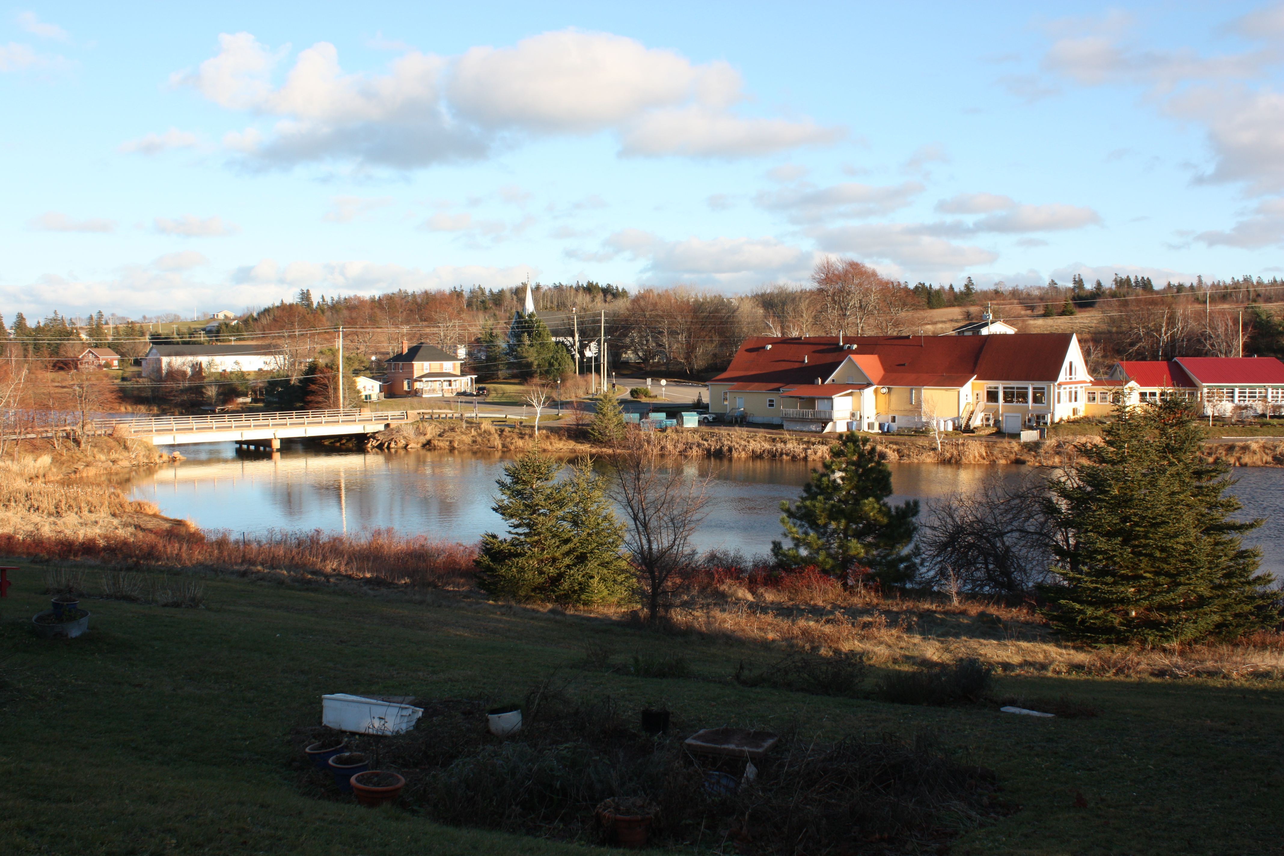
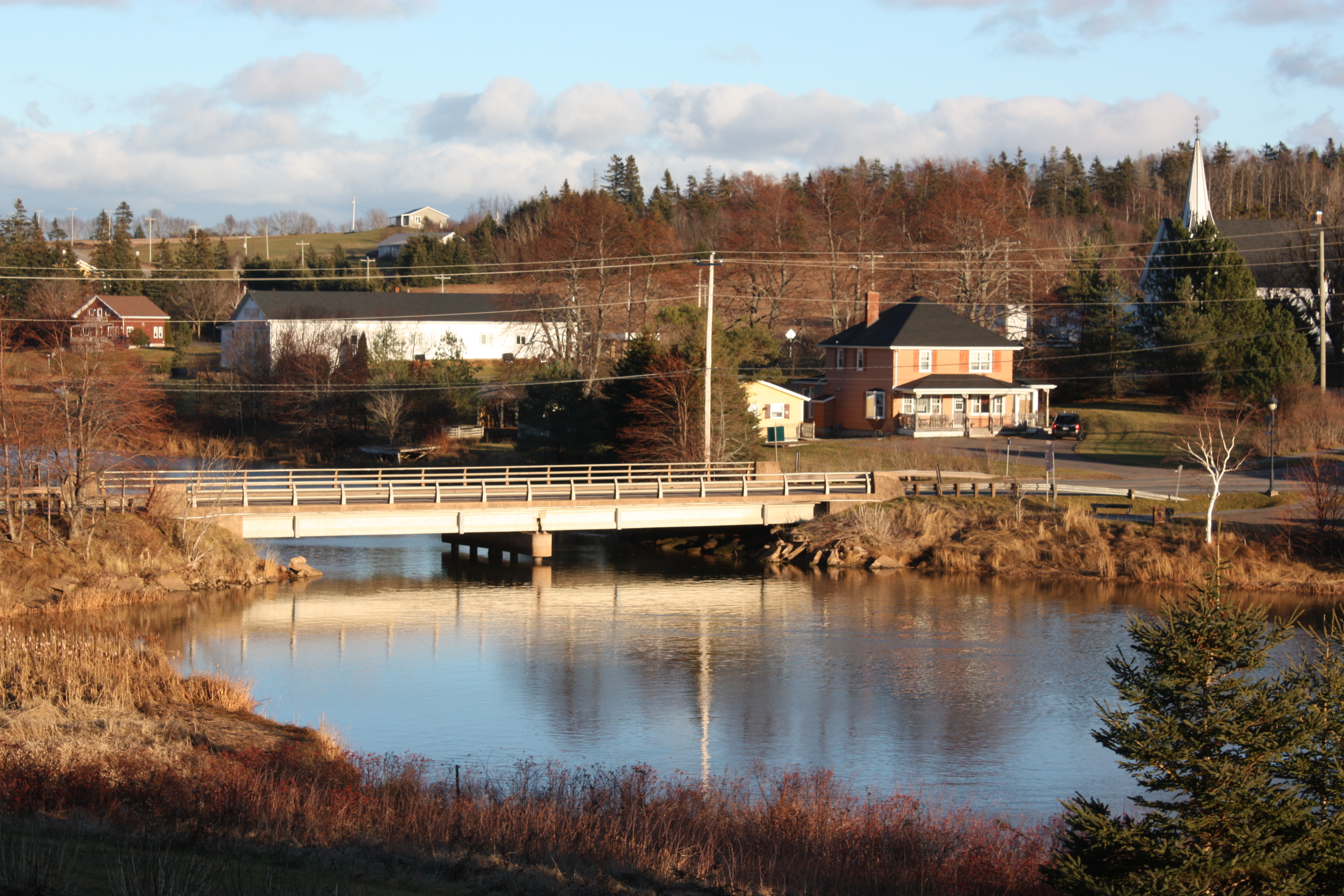
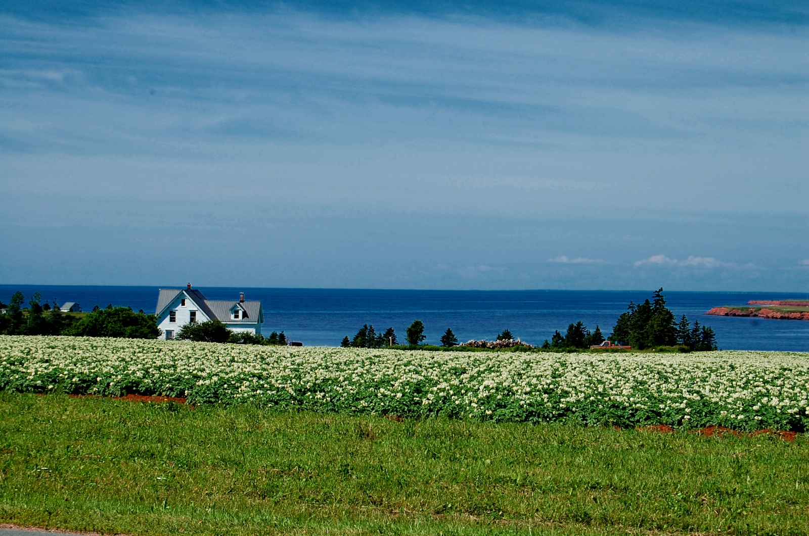
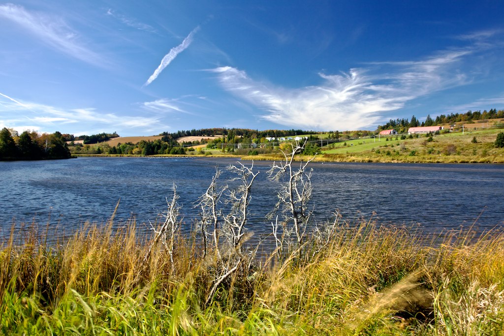
Along the River

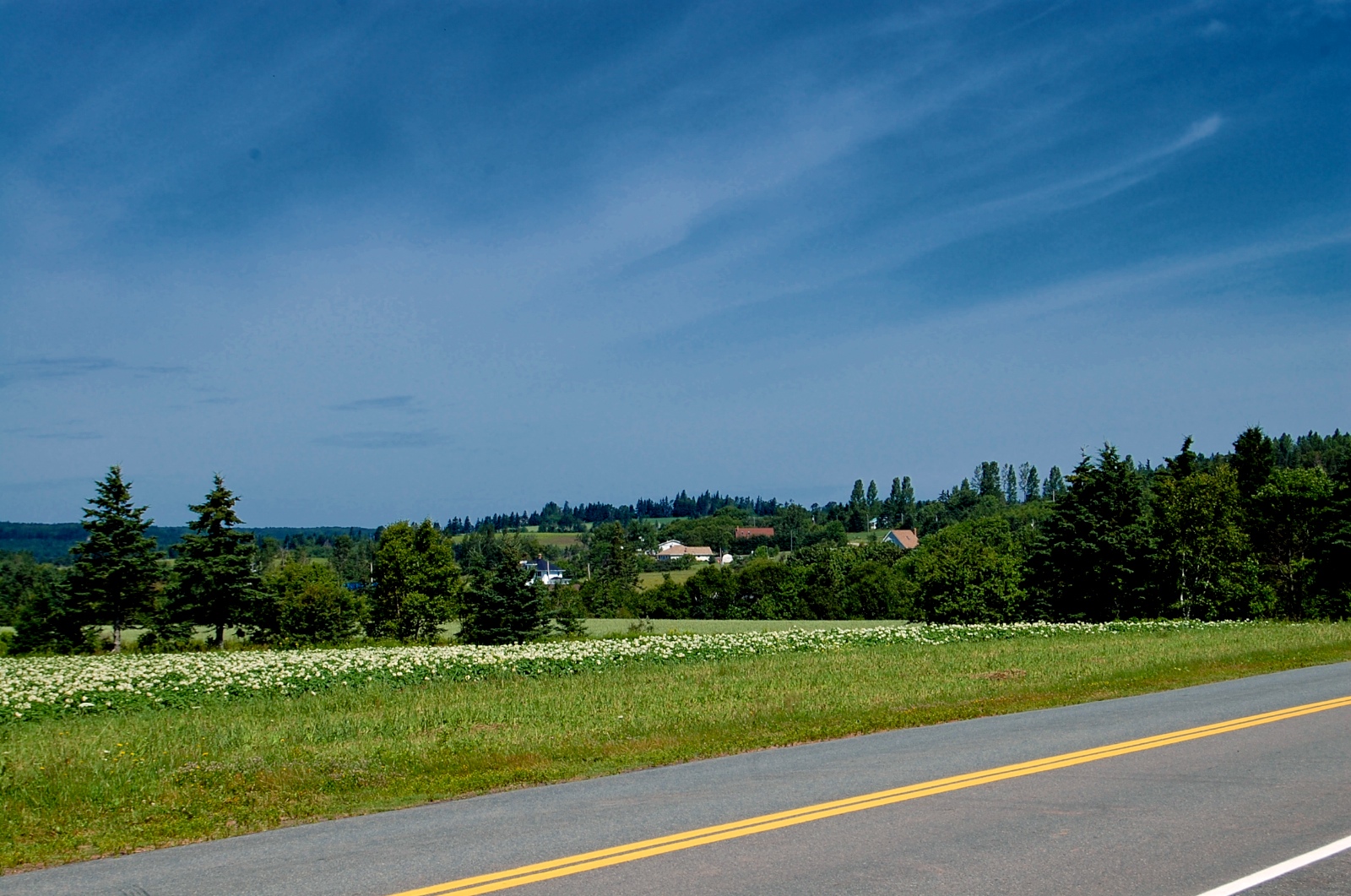
Field, near Kensington, PEI

Need more orange in the buildings....but I like the blue in the sky
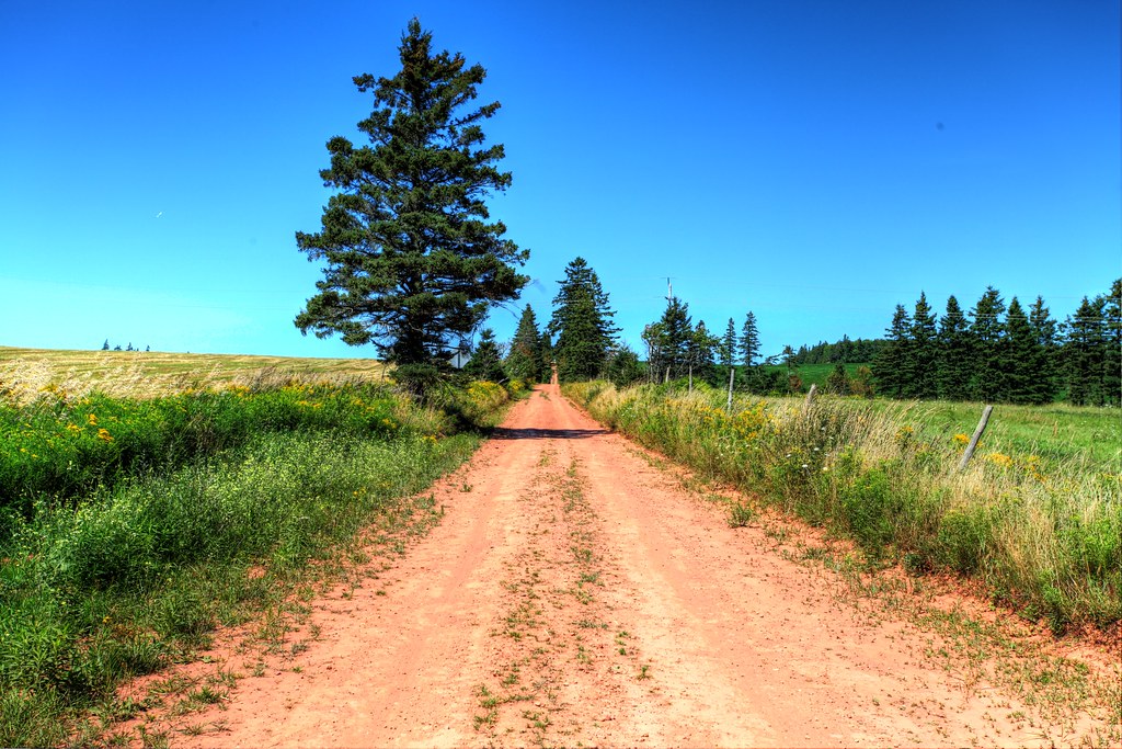
Back road on PEI, HDR

Spuds. #pei
Yellow Fields #2

The Old Barn

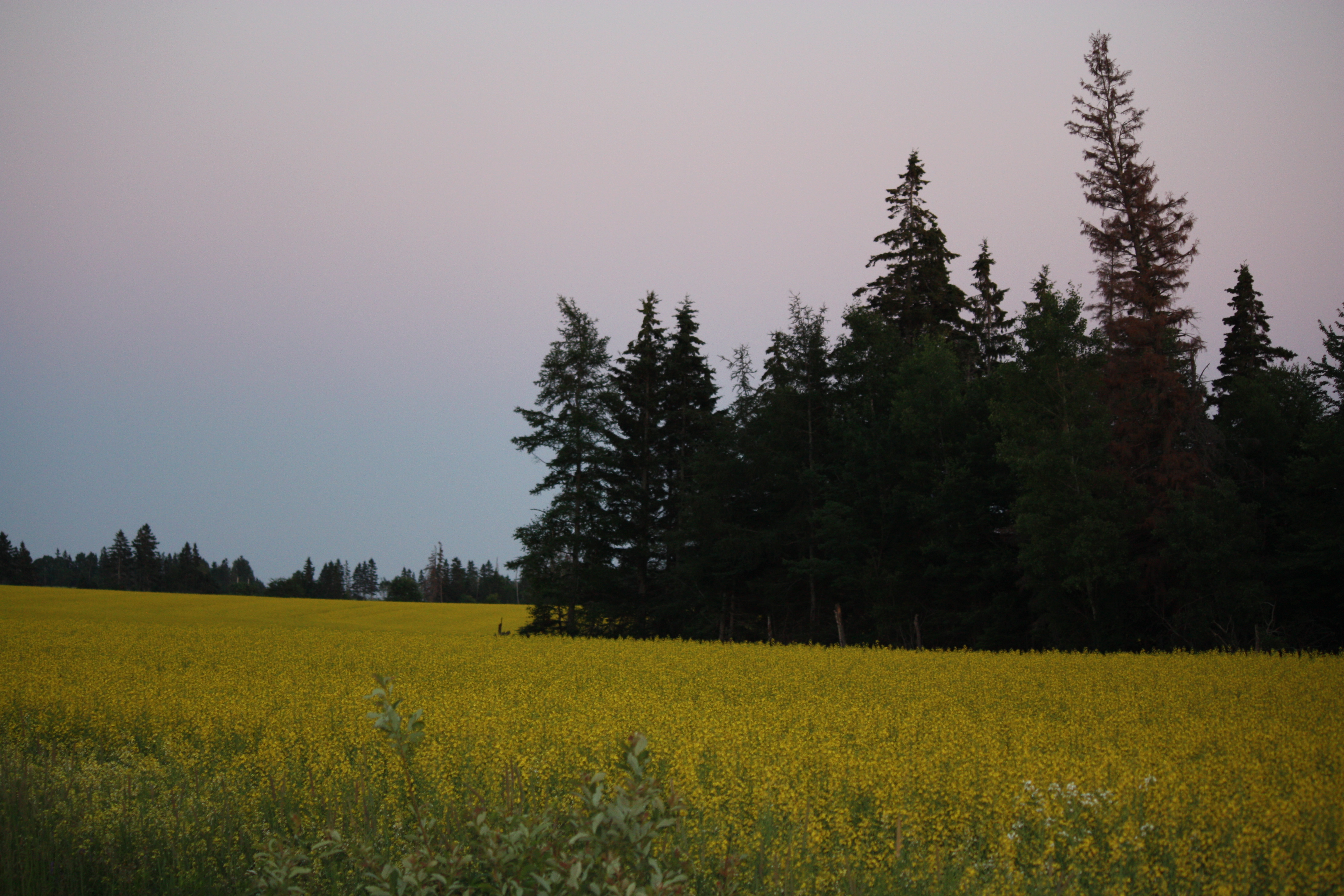
Fields of Yellow
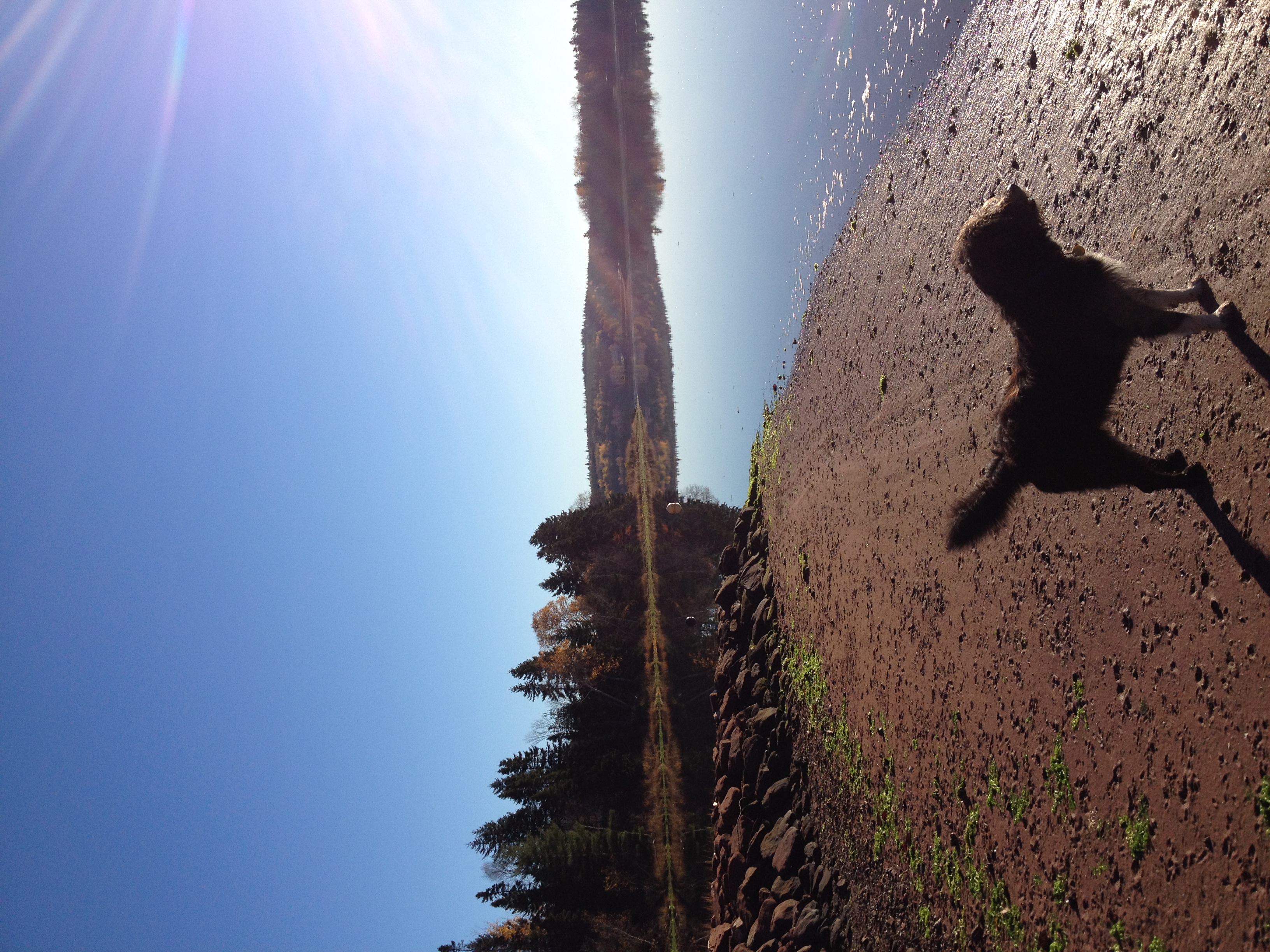
Clifford on the beach.
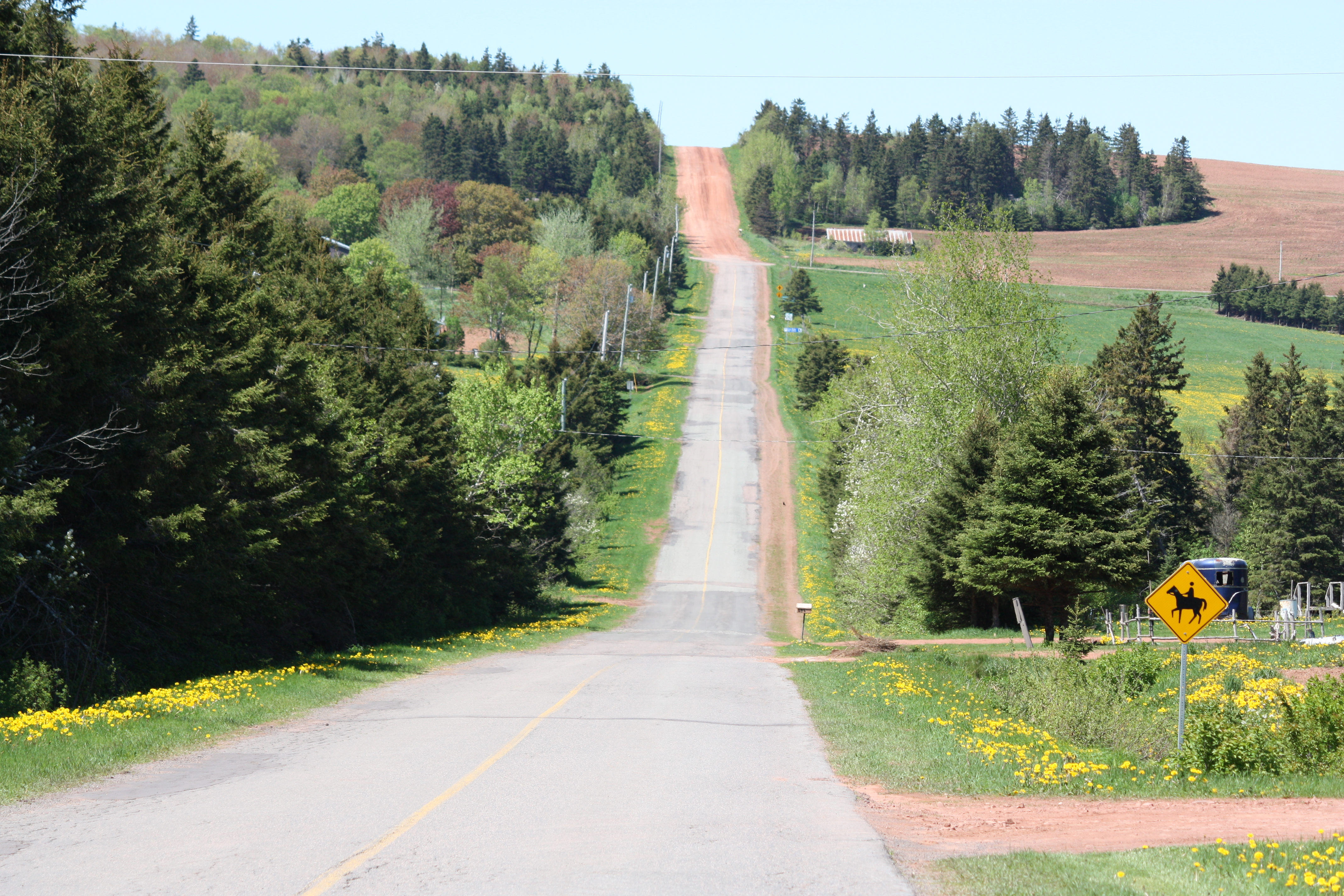
on the way
Gardens of Hope
River through the trees.
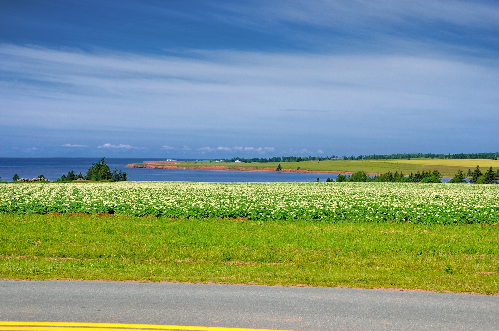
Farm Fields

Victoria-by-the-Sea
Yellow Fields
on the way
One year of pictures 2016, March 14: Stanley Bridge from field on the Douglas Road.
North Wiltshire
Prince Edward Island cycling
Topographic Map of Lot 67, PE C0A, Canada
Find elevation by address:

Places in Lot 67, PE C0A, Canada:
County Line Rd, Breadalbane, PE C0A 1E0, Canada
Grahams Rd, Kensington, PE C0B 1M0, Canada
Springton
Places near Lot 67, PE C0A, Canada:
3378 Dixon Rd
3421 Dixon Rd
Springton
52 Fredericton Station Rd
Fredericton
37 Hilltop Rd
Breadalbane
Hartsville
42 Clyde Rd, New Glasgow, PE C0A 1N0, Canada
Macdonald Road
1500 County Line Rd
Lot 22
Prince Edward Island 2
1217 New Orleans Rd
New Orleans Rd, New Glasgow, PE C0A 1N0, Canada
51 Macleod Rd
3817 Hopedale Rd
3800 Hopedale Rd
Prince Edward Island 13
Crapaud
Recent Searches:
- Elevation of W Granada St, Tampa, FL, USA
- Elevation of Pykes Down, Ivybridge PL21 0BY, UK
- Elevation of Jalan Senandin, Lutong, Miri, Sarawak, Malaysia
- Elevation of Bilohirs'k
- Elevation of 30 Oak Lawn Dr, Barkhamsted, CT, USA
- Elevation of Luther Road, Luther Rd, Auburn, CA, USA
- Elevation of Unnamed Road, Respublika Severnaya Osetiya — Alaniya, Russia
- Elevation of Verkhny Fiagdon, North Ossetia–Alania Republic, Russia
- Elevation of F. Viola Hiway, San Rafael, Bulacan, Philippines
- Elevation of Herbage Dr, Gulfport, MS, USA