Elevation of 52 Fredericton Station Rd, North Wiltshire, PE C0A 1Y0, Canada
Location: Canada > Prince Edward Island > Queens County > Lot 31 > North Wiltshire >
Longitude: -63.425404
Latitude: 46.3583742
Elevation: 94m / 308feet
Barometric Pressure: 100KPa
Elevation Map:
Satellite Map:
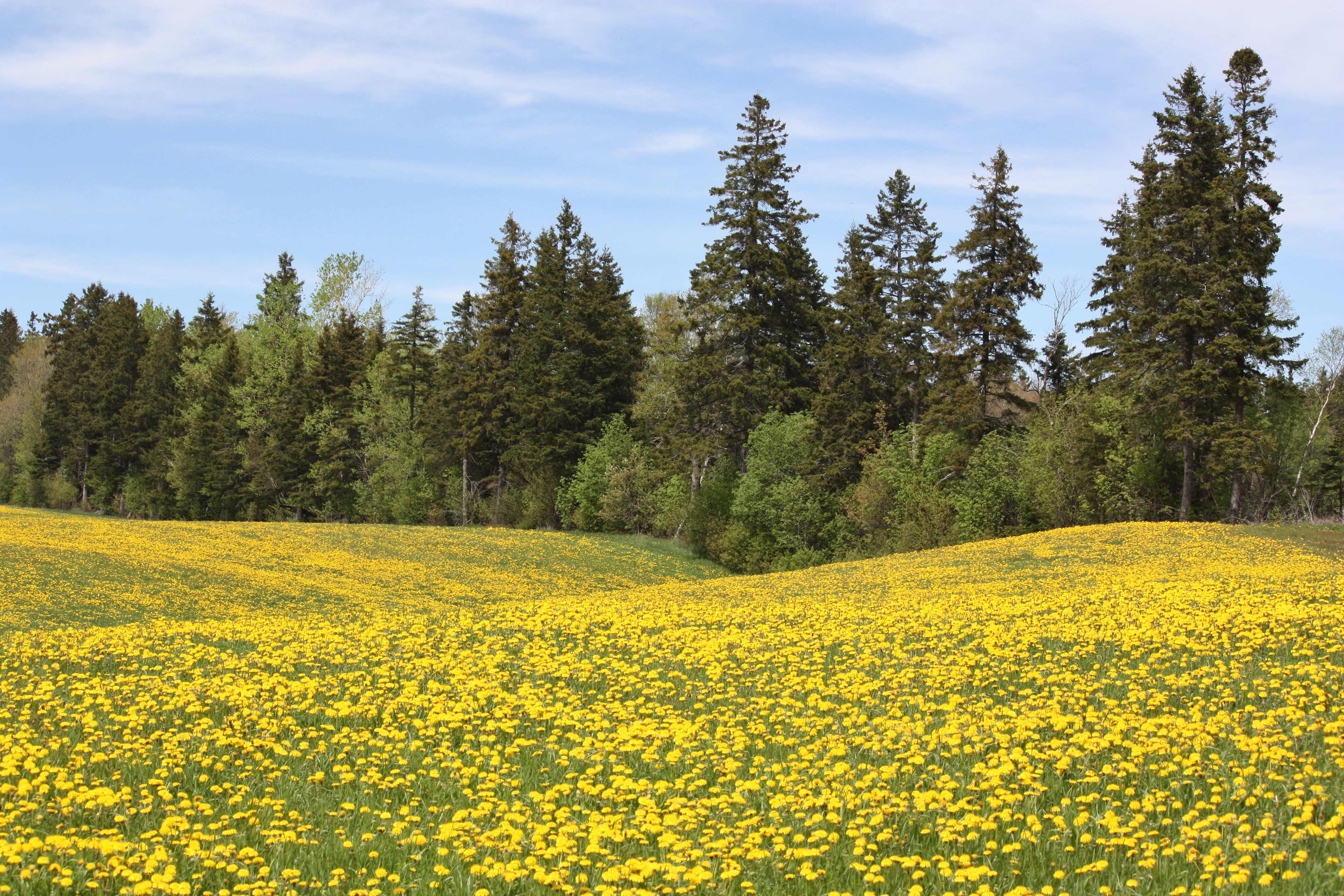
Related Photos:
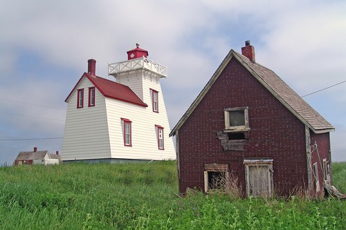
North Rustico Lighthouse
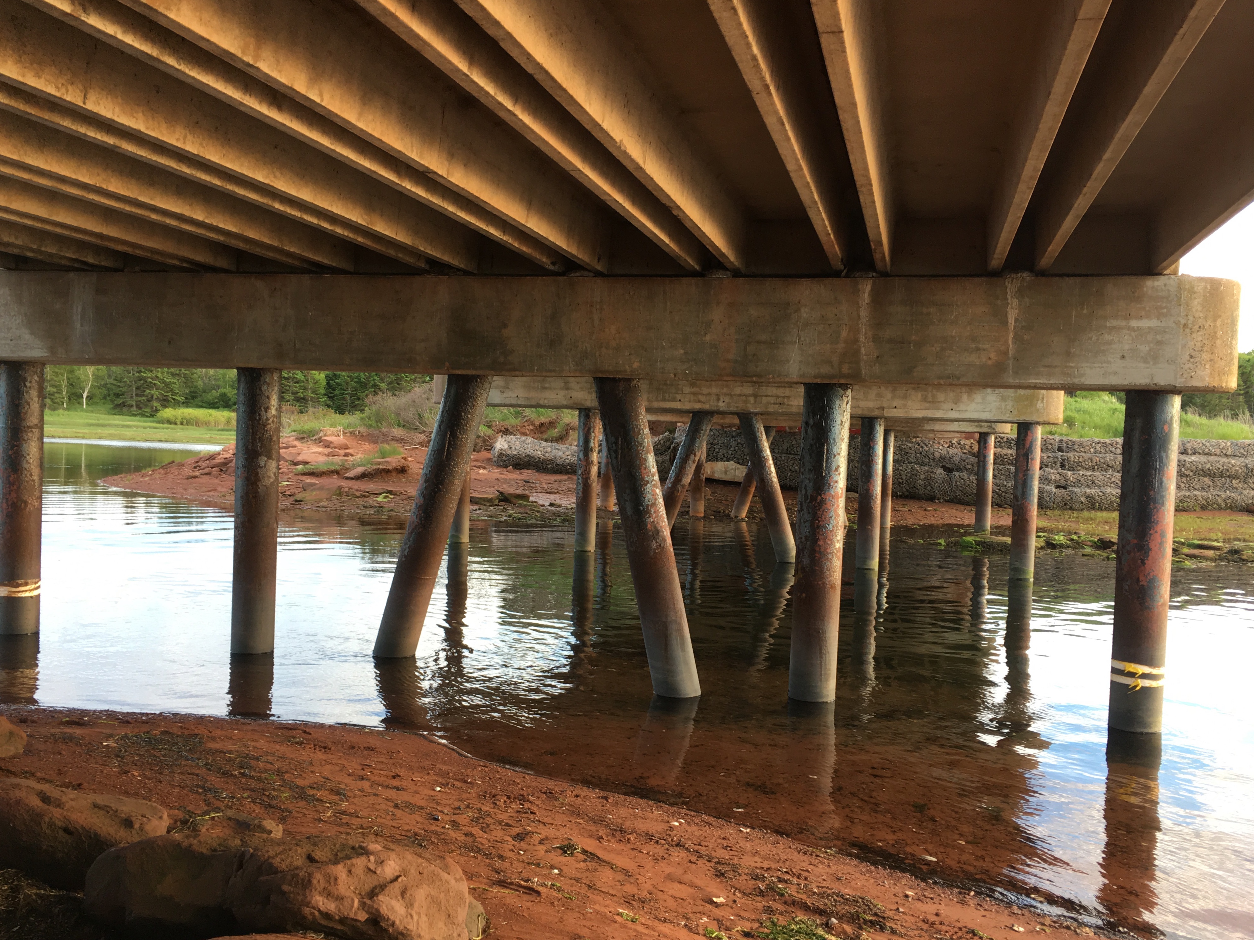
Under the Bay View Bridge.
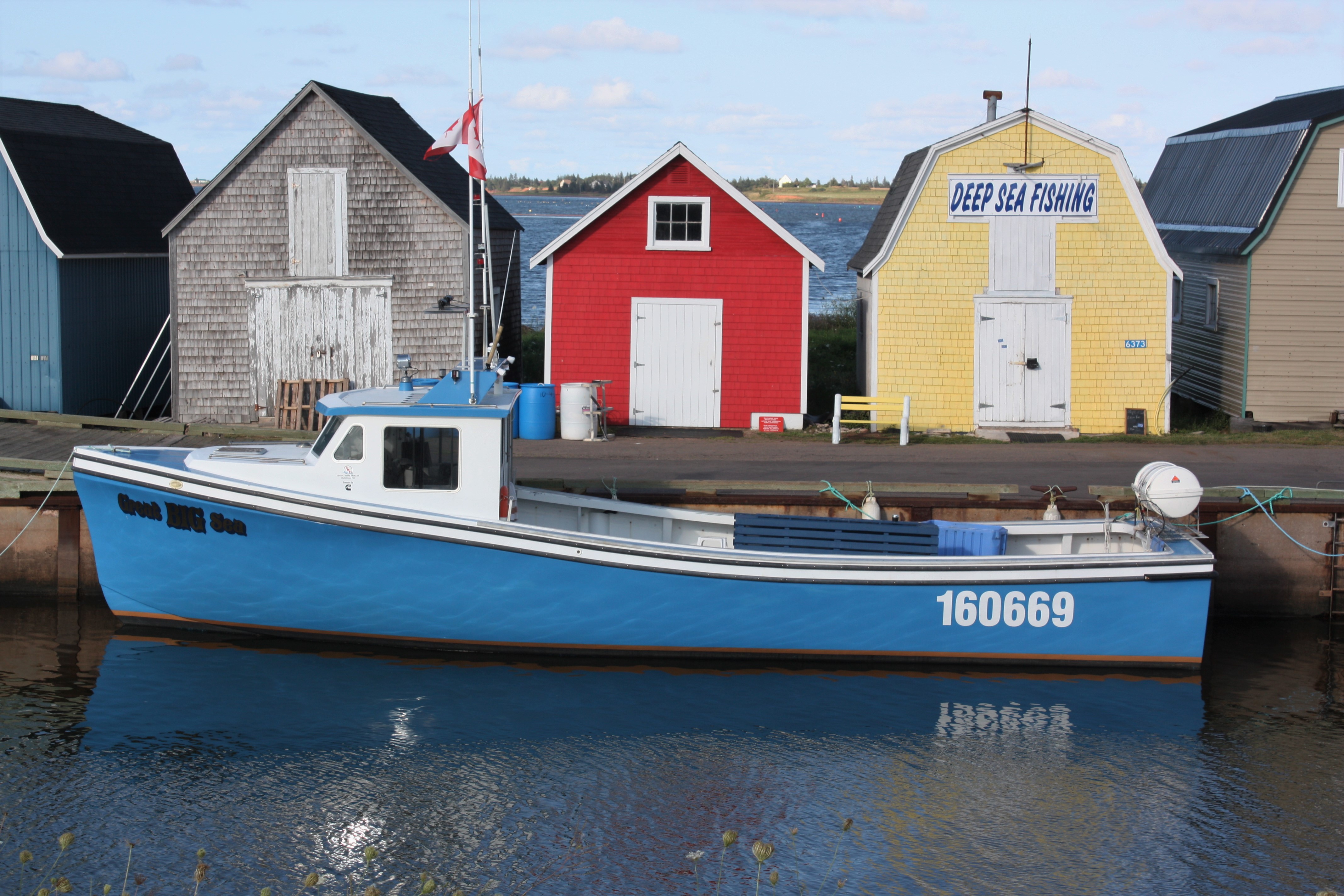
Wharf at New London, PEI

Milton enjoying the view.

Wheatley River, PEI
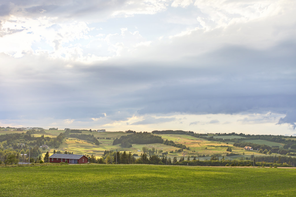
View of Glasgow Hills Golf Course, New Glasgow, Prince Edward Island
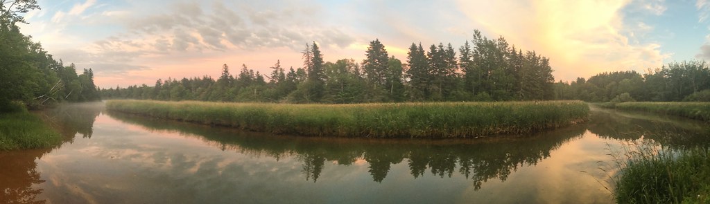
Panorama - Down by Wheatley River, Prince Edward Island
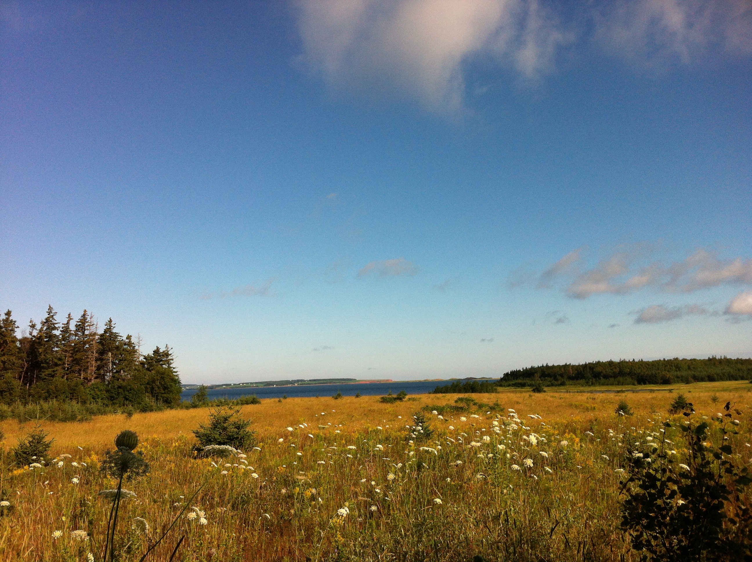
View of New London Bay.
Shamrock, PEI
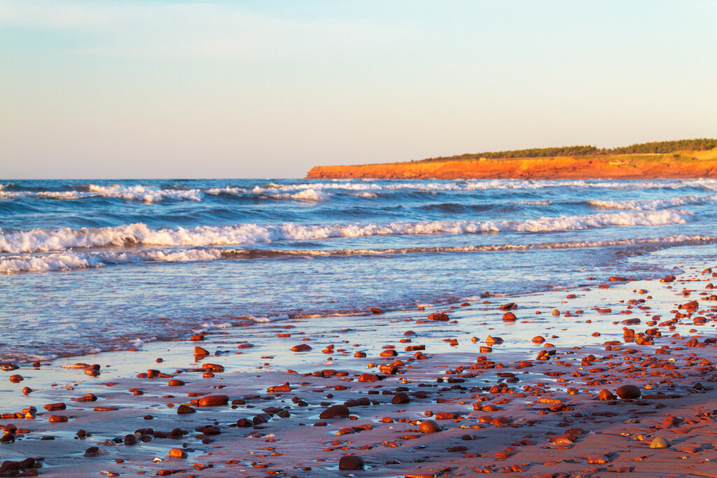
A closer view of Cavendish Beach.
Springfield, PEI

Window crosses

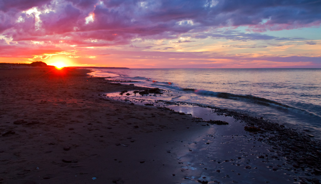
Sunset at the Dunes
View from our cottage.
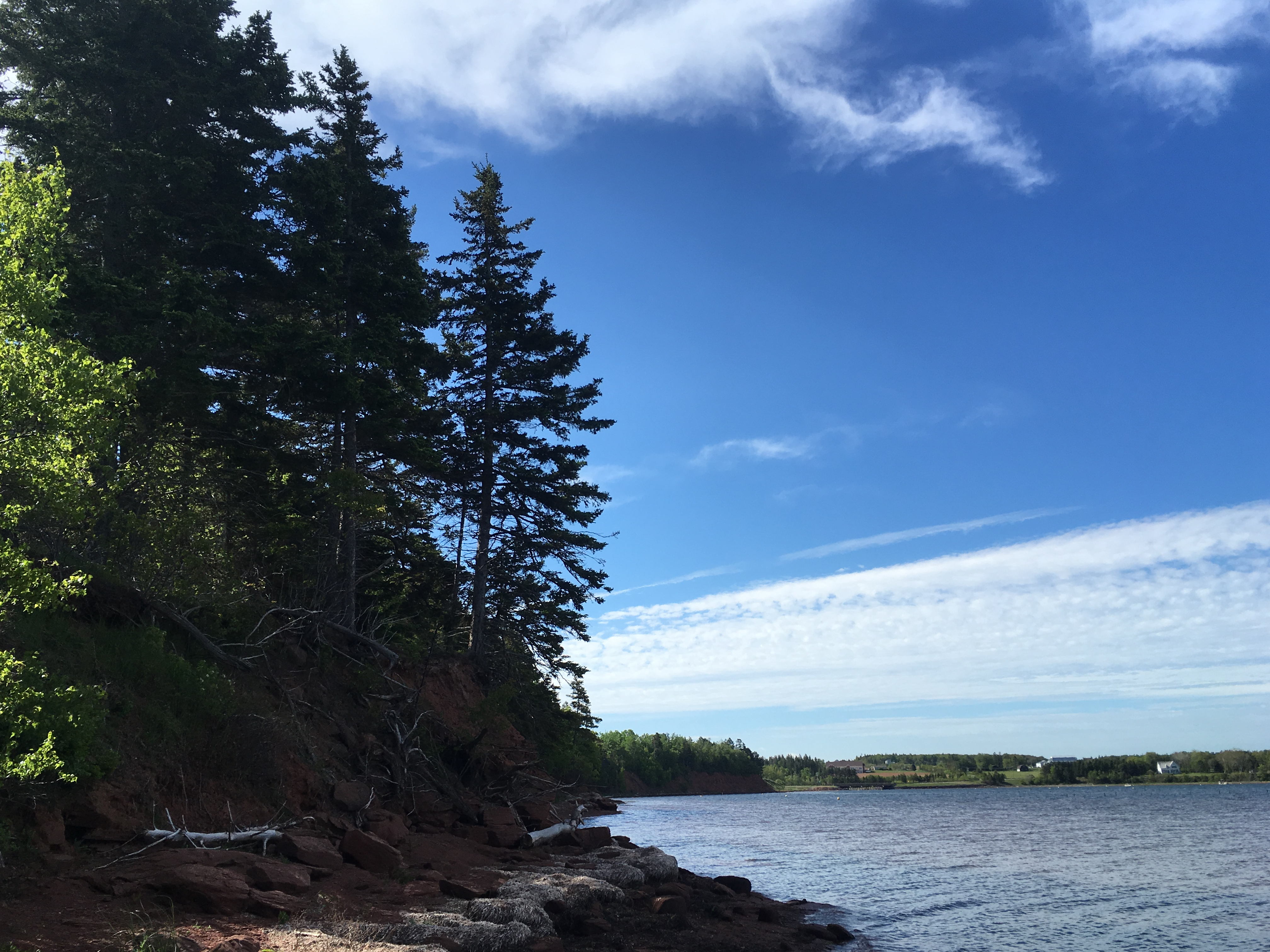
Island Shoreline I
View from Cois Farraige
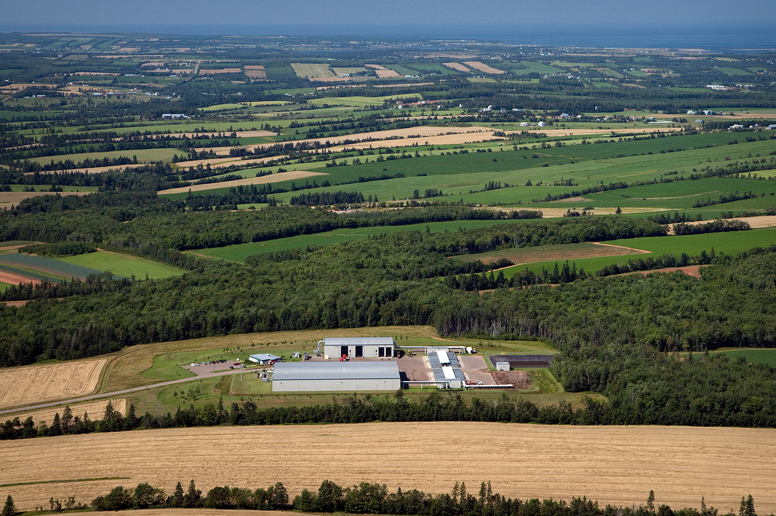
Aerial view of IWMC Compost Facility in Brookfield
South Granville, PEI

Another view of the beach.
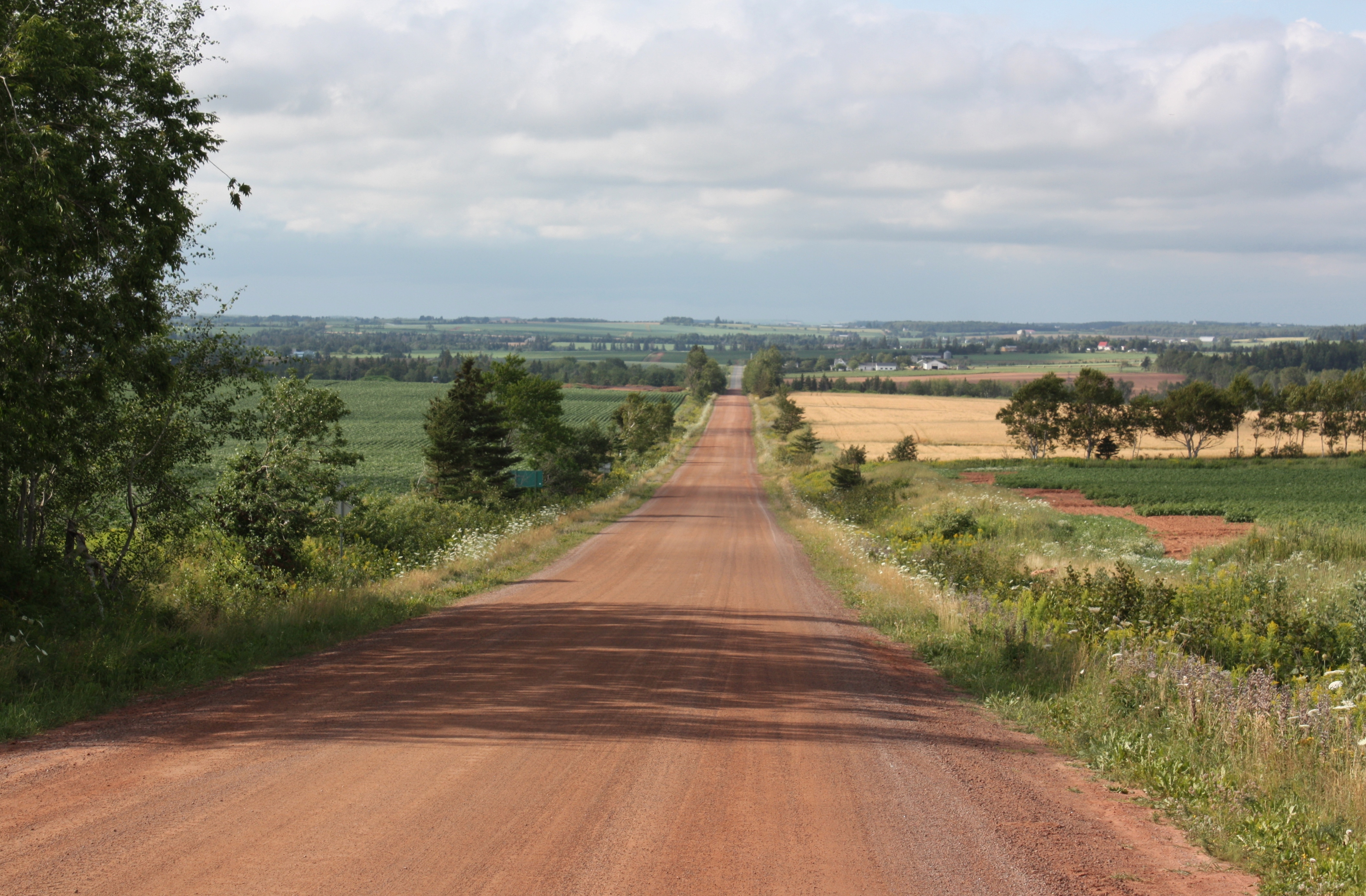
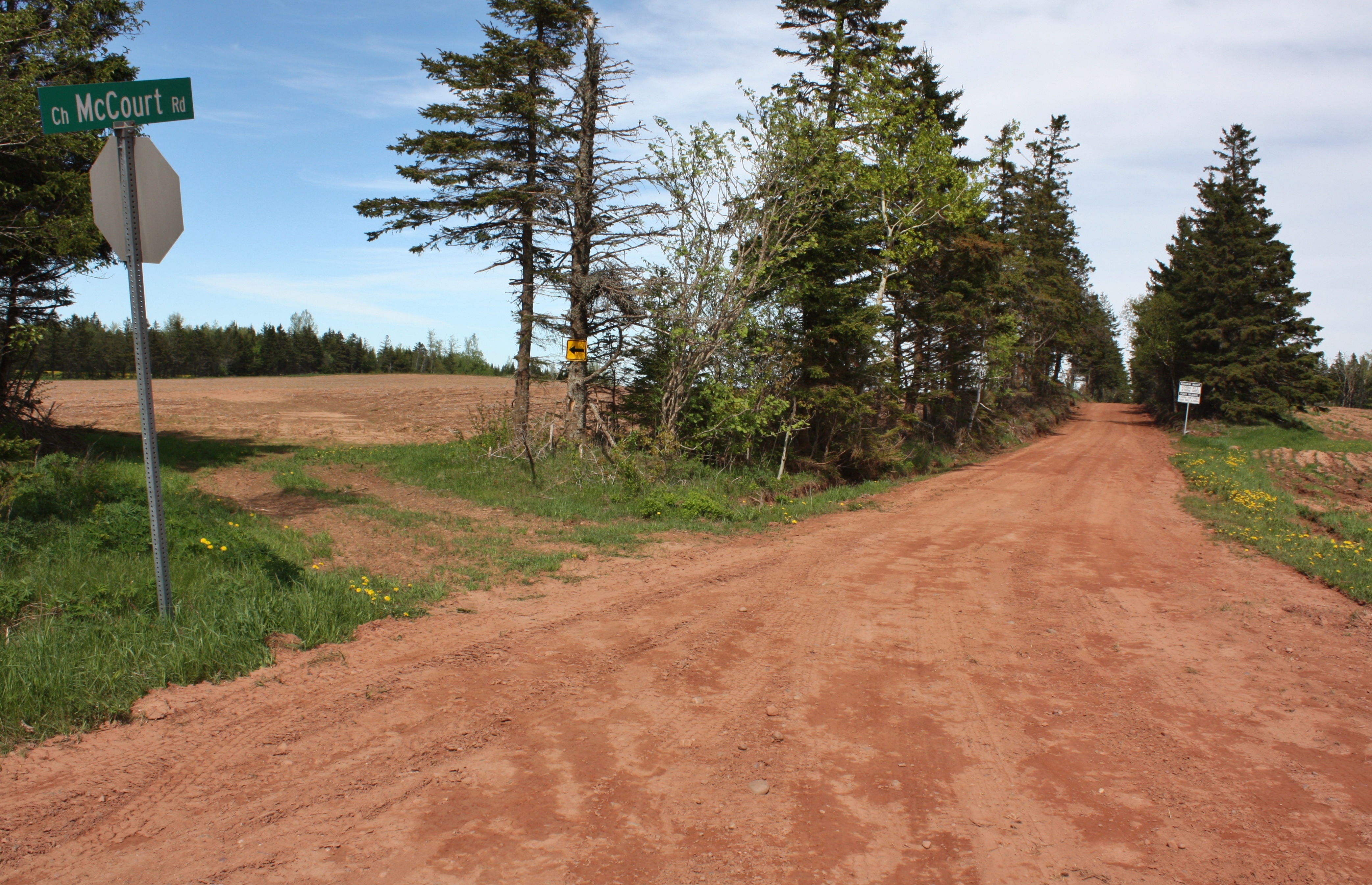
Route 266 in St. Patricks, PEI
View toward French River.
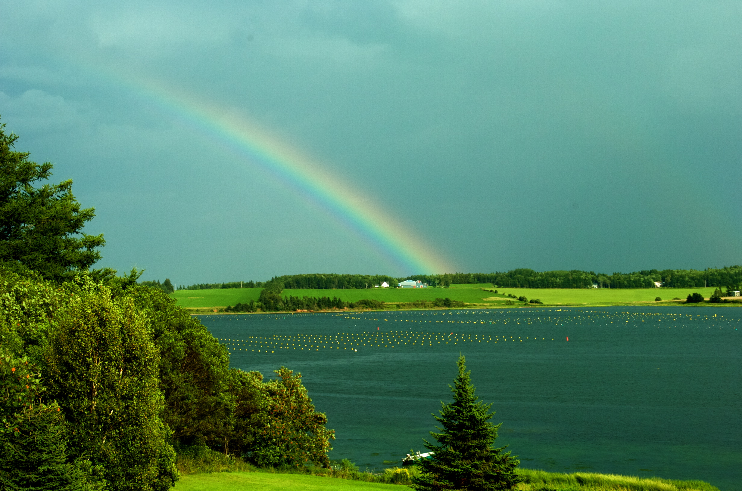
Windy island evening

Springvale, PEI
North Rustico, PEI
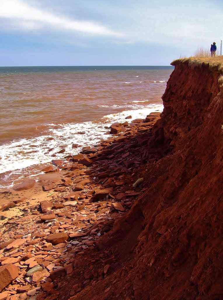
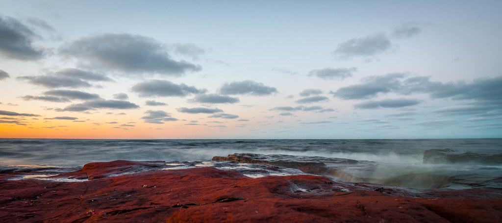
Red Shores of P.E.I.
Summerfield, PEI
haystack草垛 6
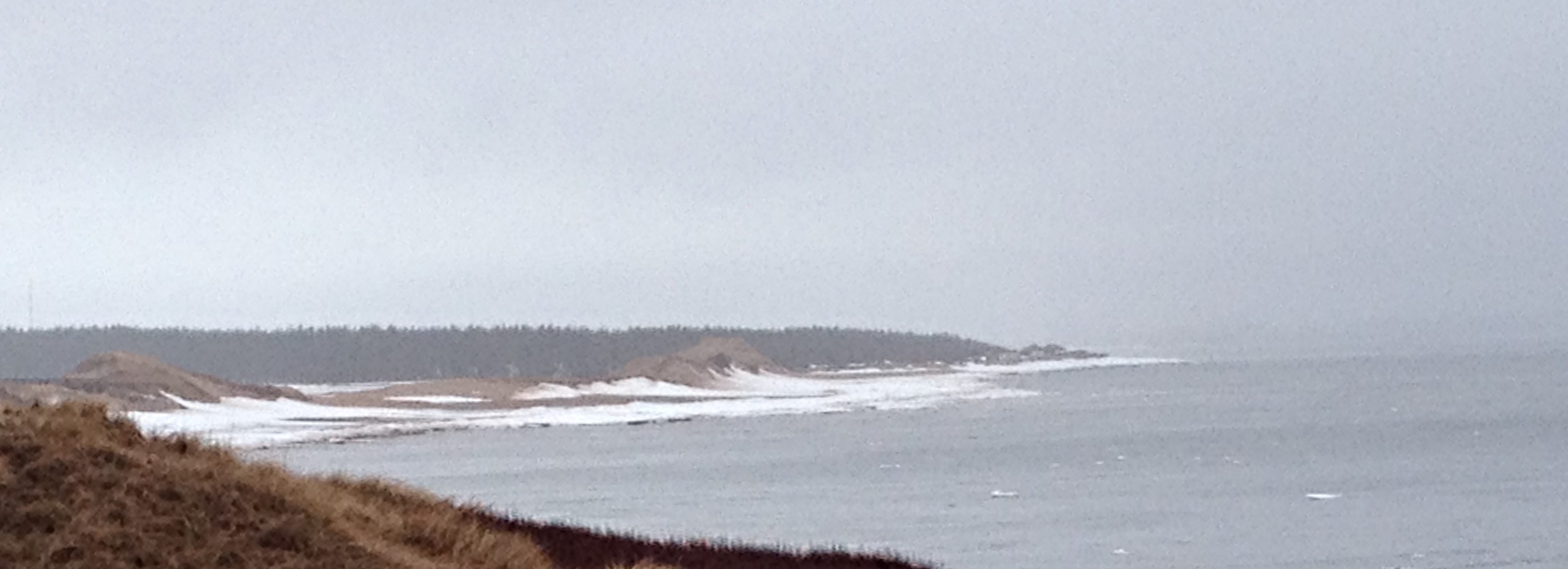
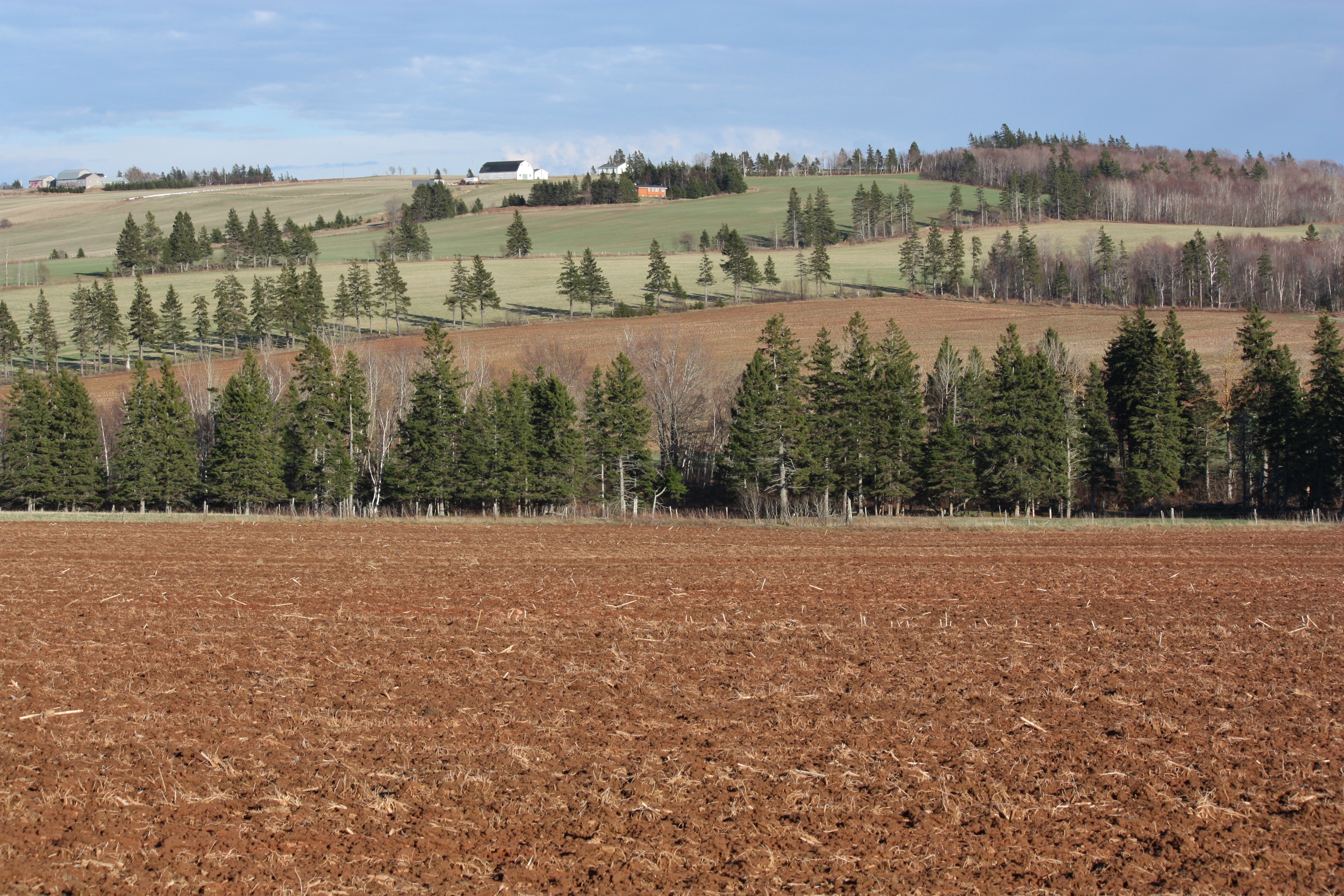
PEI - north shore
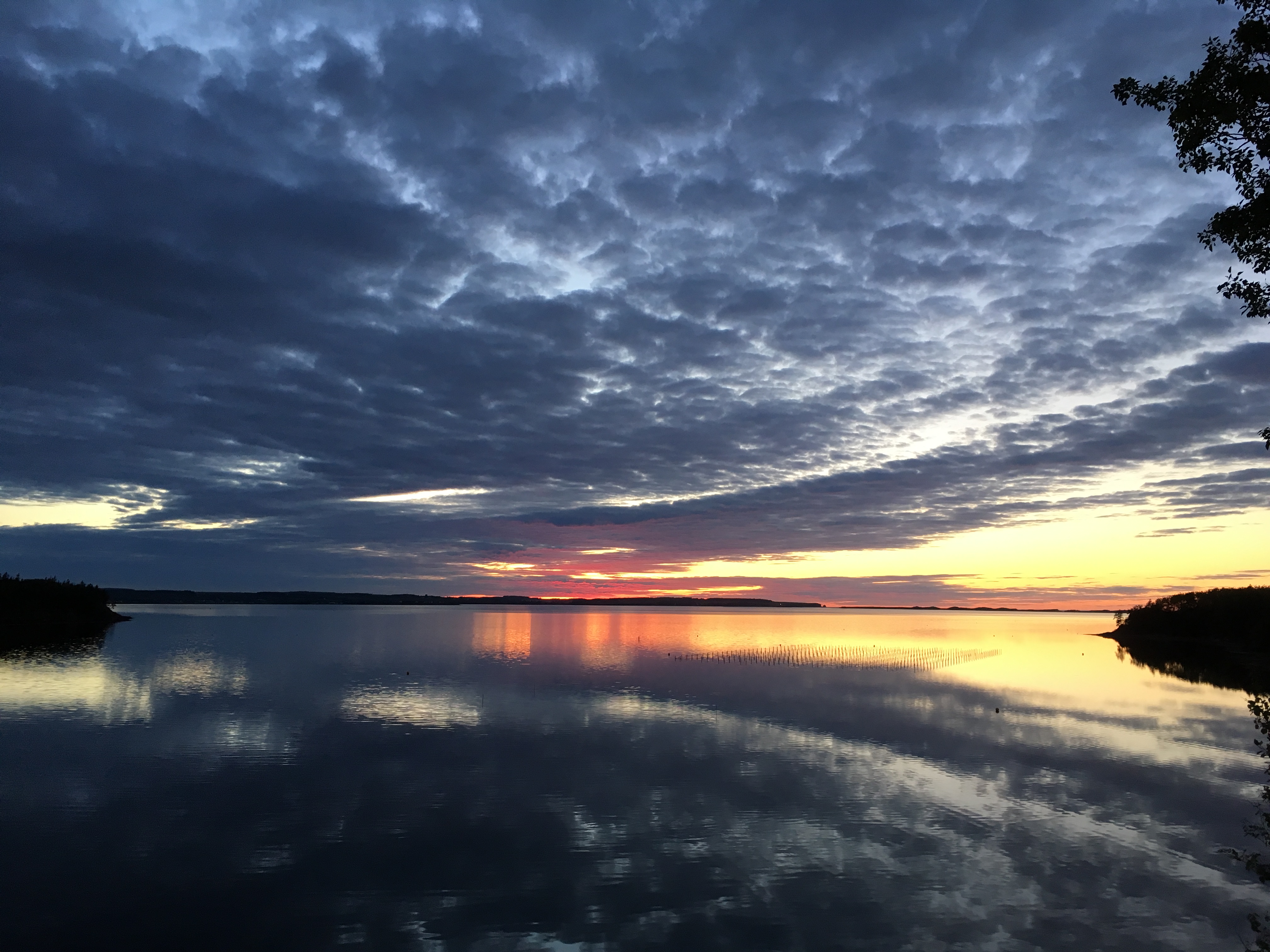
Sunset over New London Bay.
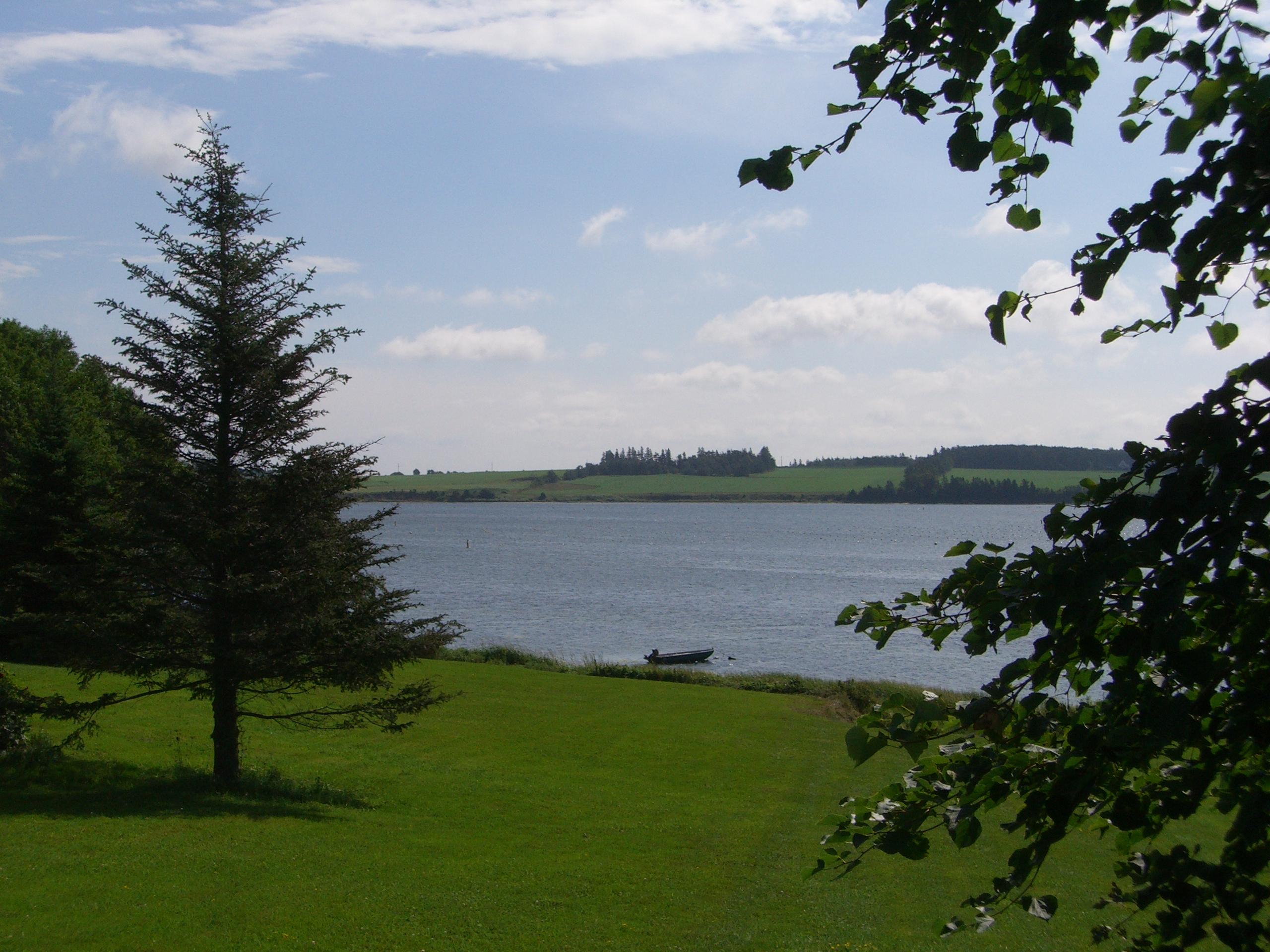
New London Bay.
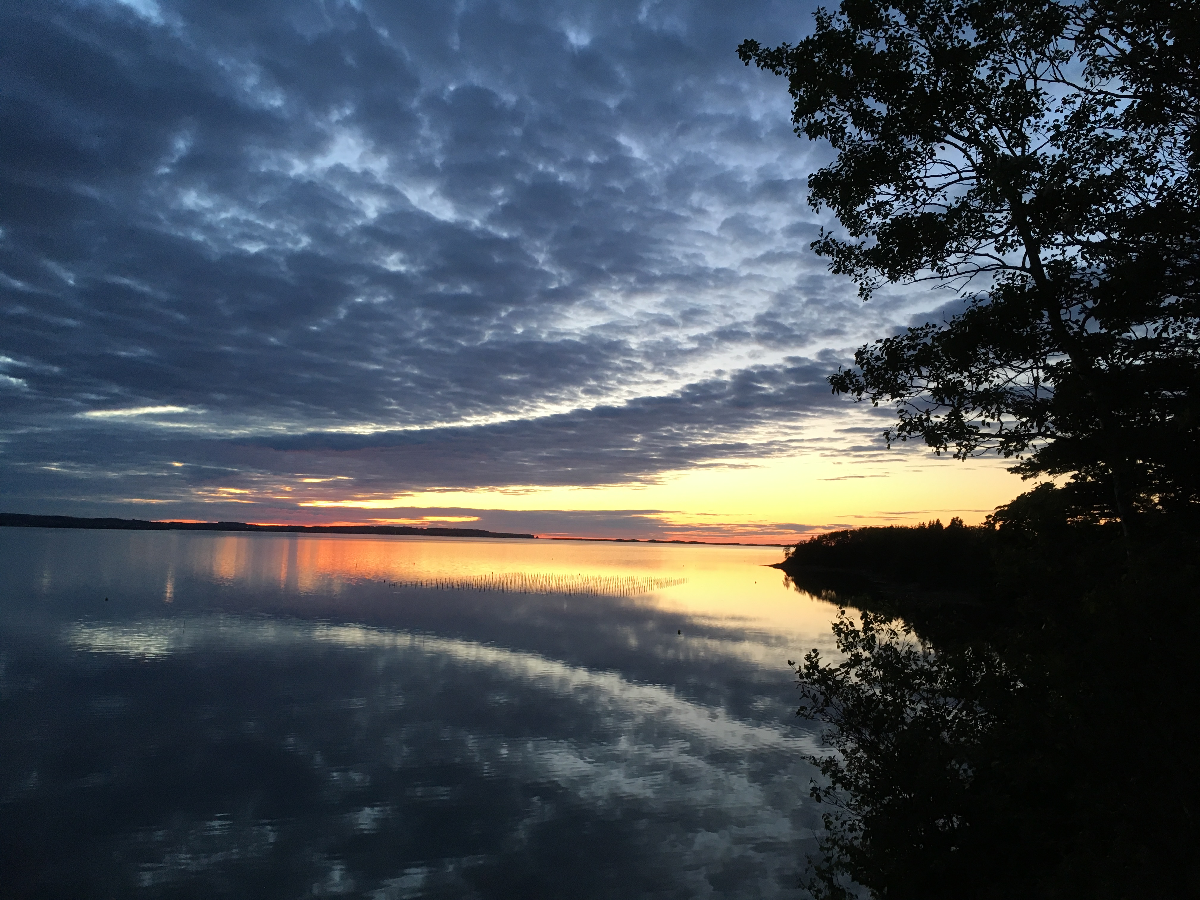
Sunset over New London Bay.
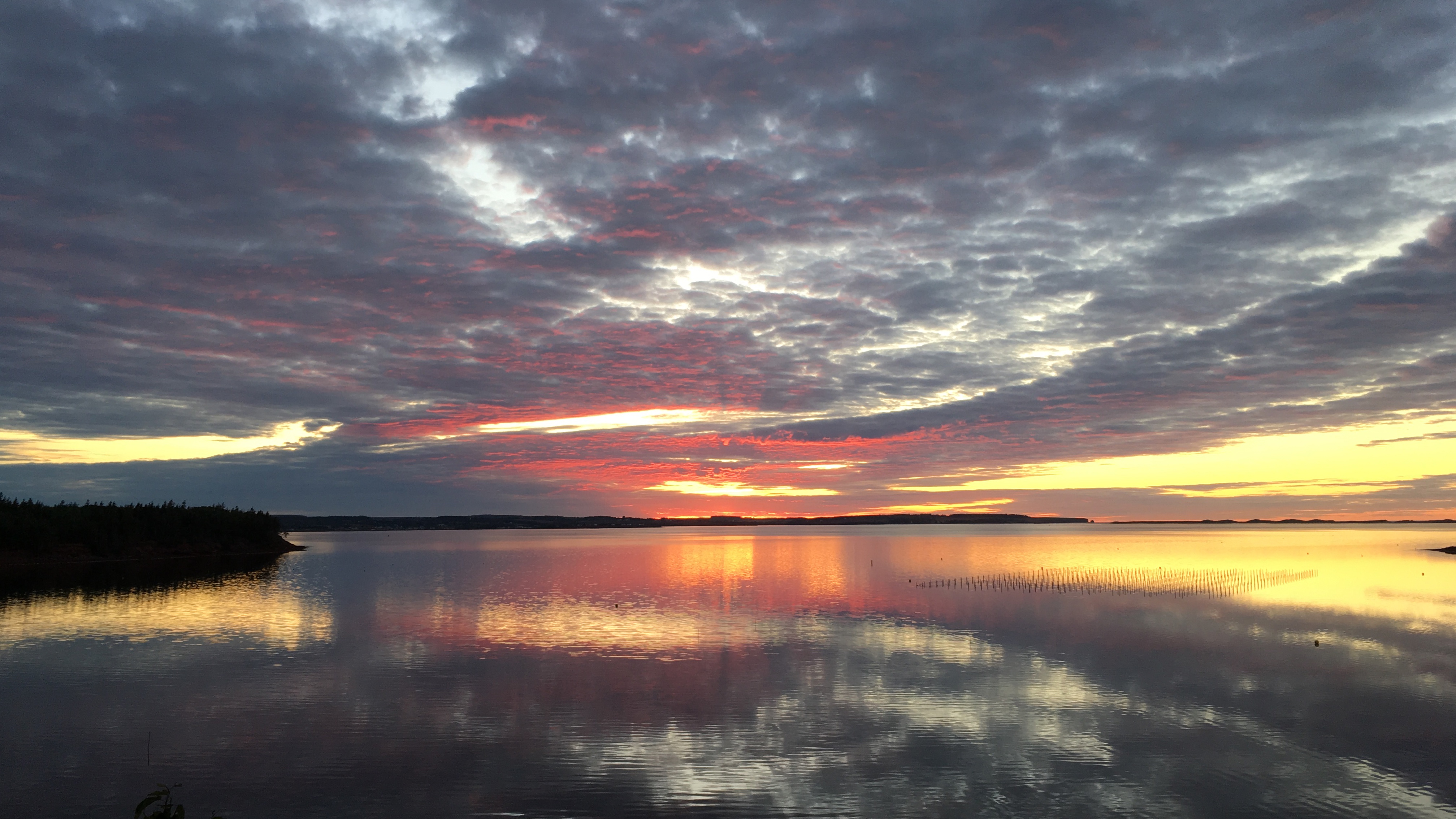
Sunset over New London Bay.
RTT_4141_2.jpg
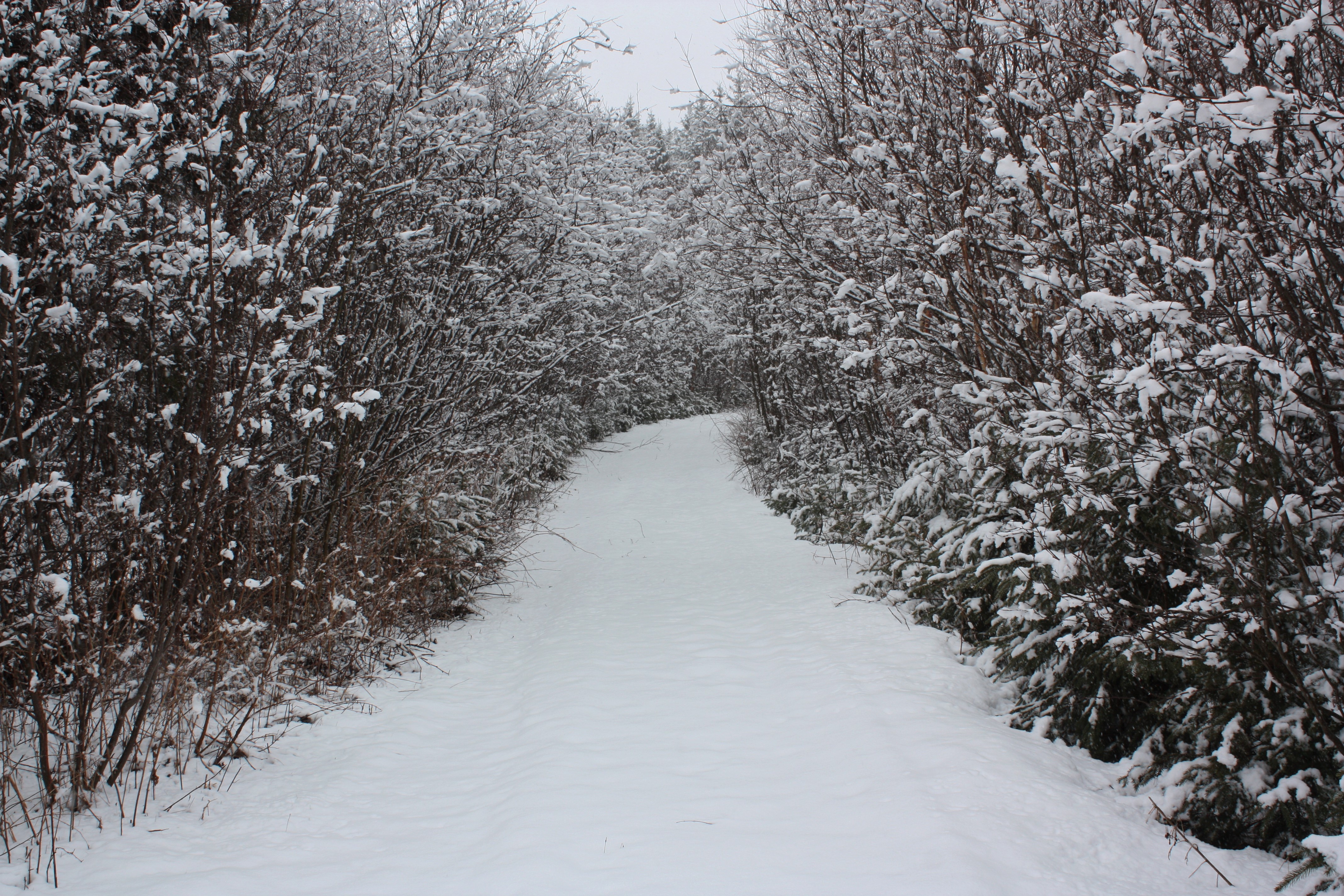
Snow Covered Path
Cavendish Beach sunset 2
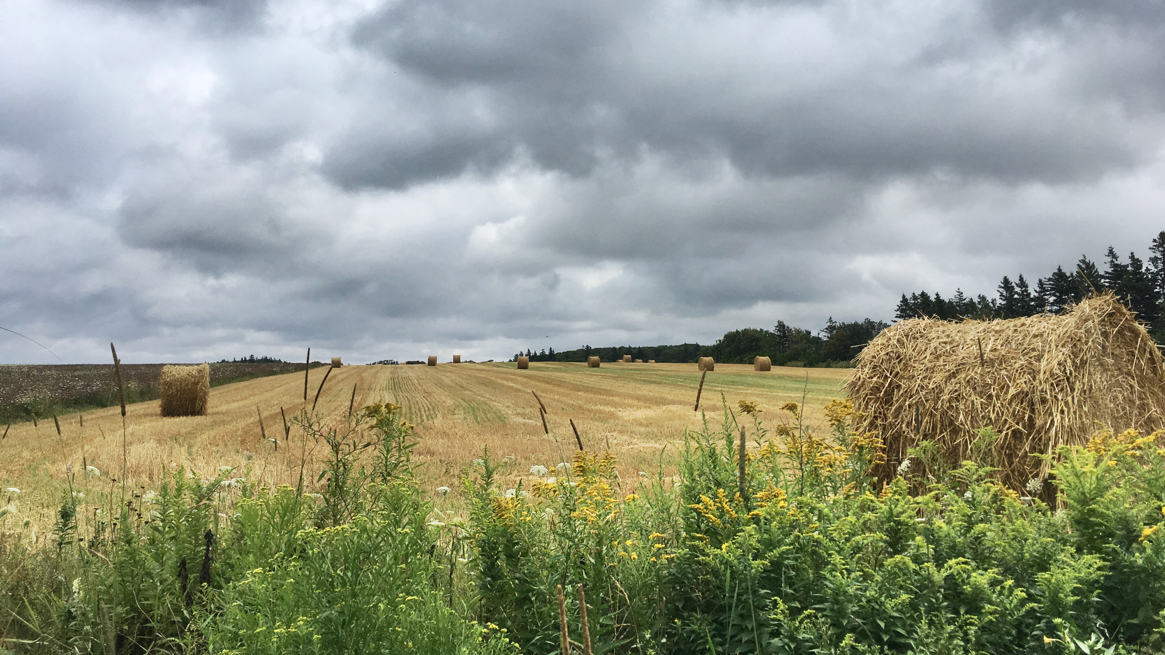
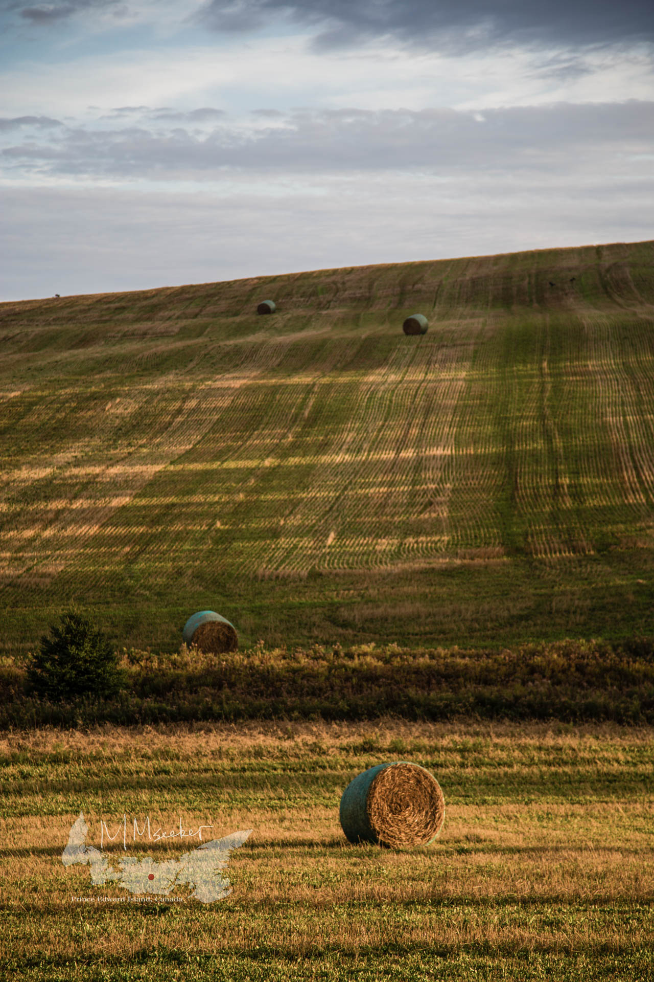
Large straw bales.
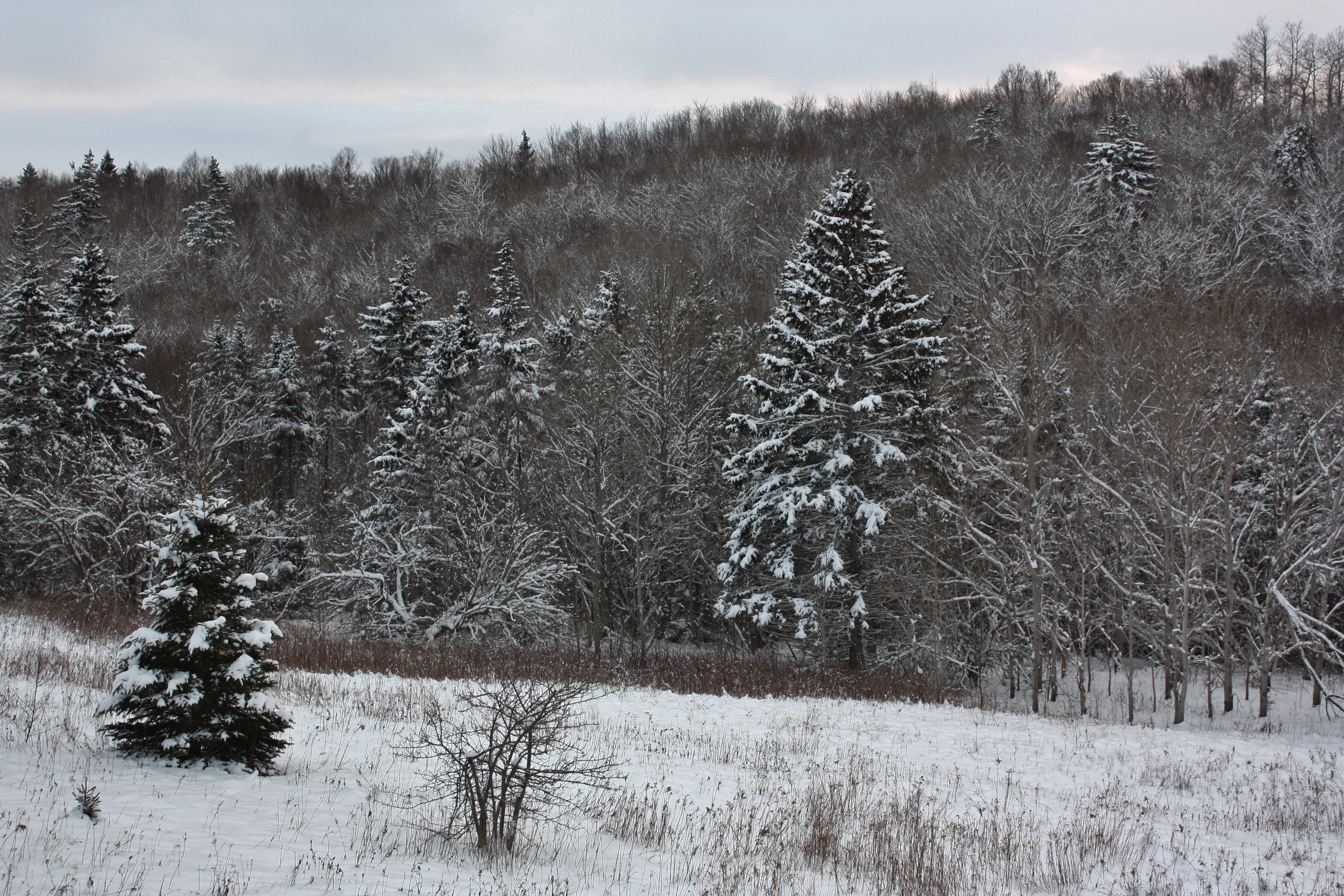
Winter Forest
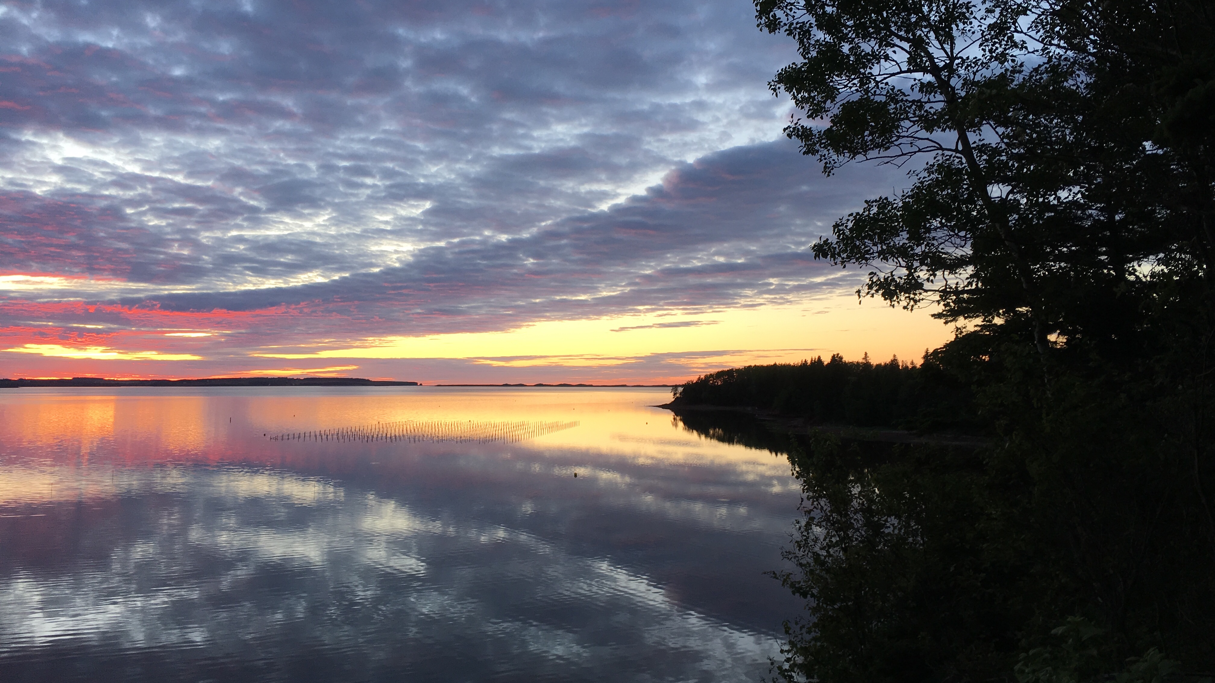
Sunset over New London Bay.
Springvale, PEI

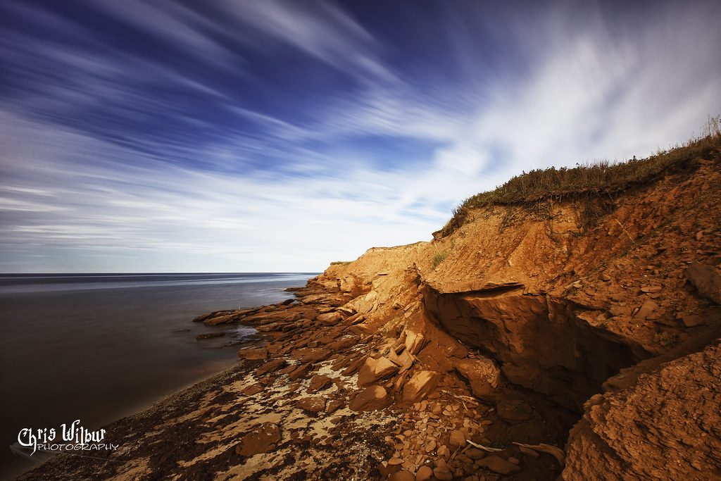
Cavendish Cliff, PEI

North Shore. #pei #christmasvacation
Topographic Map of 52 Fredericton Station Rd, North Wiltshire, PE C0A 1Y0, Canada
Find elevation by address:

Places near 52 Fredericton Station Rd, North Wiltshire, PE C0A 1Y0, Canada:
Fredericton
42 Clyde Rd, New Glasgow, PE C0A 1N0, Canada
Lot 22
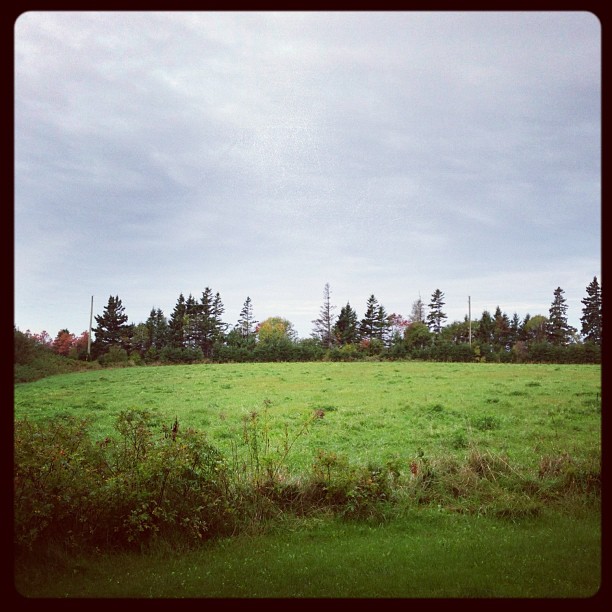
Springton
1217 New Orleans Rd
Lot 67
New Orleans Rd, New Glasgow, PE C0A 1N0, Canada
Hartsville
Prince Edward Island 2
St Patricks Rd, New Glasgow, PE C0A 1N0, Canada
3378 Dixon Rd
3421 Dixon Rd
51 Macleod Rd
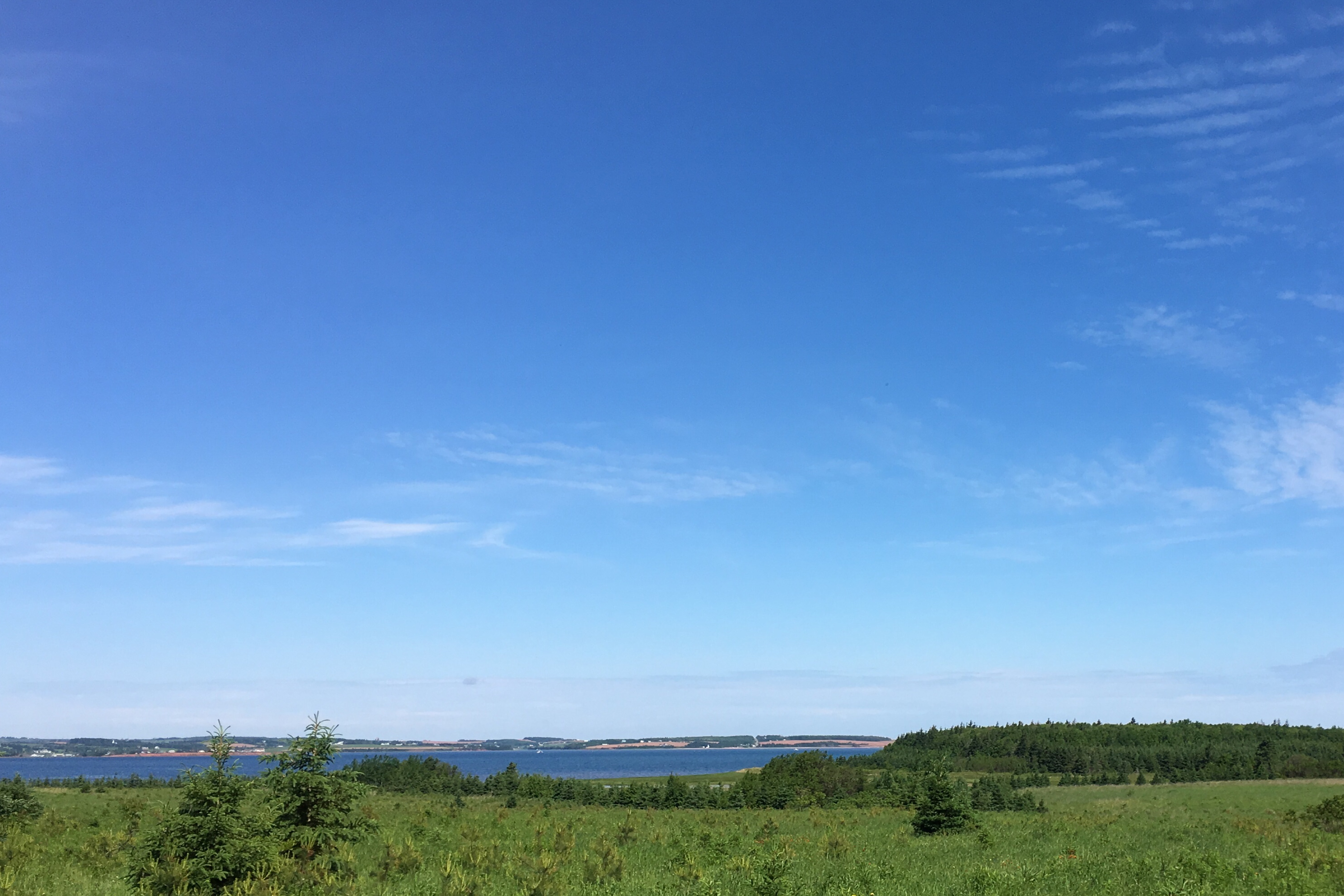
Prince Edward Island 13
3817 Hopedale Rd
3800 Hopedale Rd
Breadalbane
37 Hilltop Rd
Rennies Road
Hunter River
Recent Searches:
- Elevation of Lumagwas Diversified Farmers Multi-Purpose Cooperative, Lumagwas, Adtuyon, RV32+MH7, Pangantucan, Bukidnon, Philippines
- Elevation of Homestead Ridge, New Braunfels, TX, USA
- Elevation of Orchard Road, Orchard Rd, Marlborough, NY, USA
- Elevation of 12 Hutchinson Woods Dr, Fletcher, NC, USA
- Elevation of Holloway Ave, San Francisco, CA, USA
- Elevation of Norfolk, NY, USA
- Elevation of - San Marcos Pass Rd, Santa Barbara, CA, USA
- Elevation of th Pl SE, Issaquah, WA, USA
- Elevation of 82- D Rd, Captain Cook, HI, USA
- Elevation of Harlow CM20 2PR, UK