Elevation of New Orleans Rd, New Glasgow, PE C0A 1N0, Canada
Location: Canada > Prince Edward Island > Queens County > Lot 22 >
Longitude: -63.412742
Latitude: 46.40229
Elevation: 14m / 46feet
Barometric Pressure: 0KPa
Related Photos:
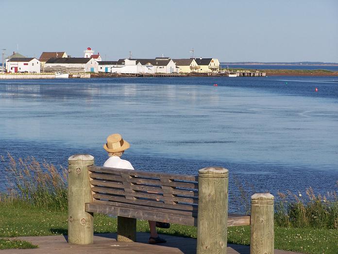
A View of North Rustico, PEI

Quintessential North Shore PEI - HDR
View from our cottage.

Milton enjoying the view.
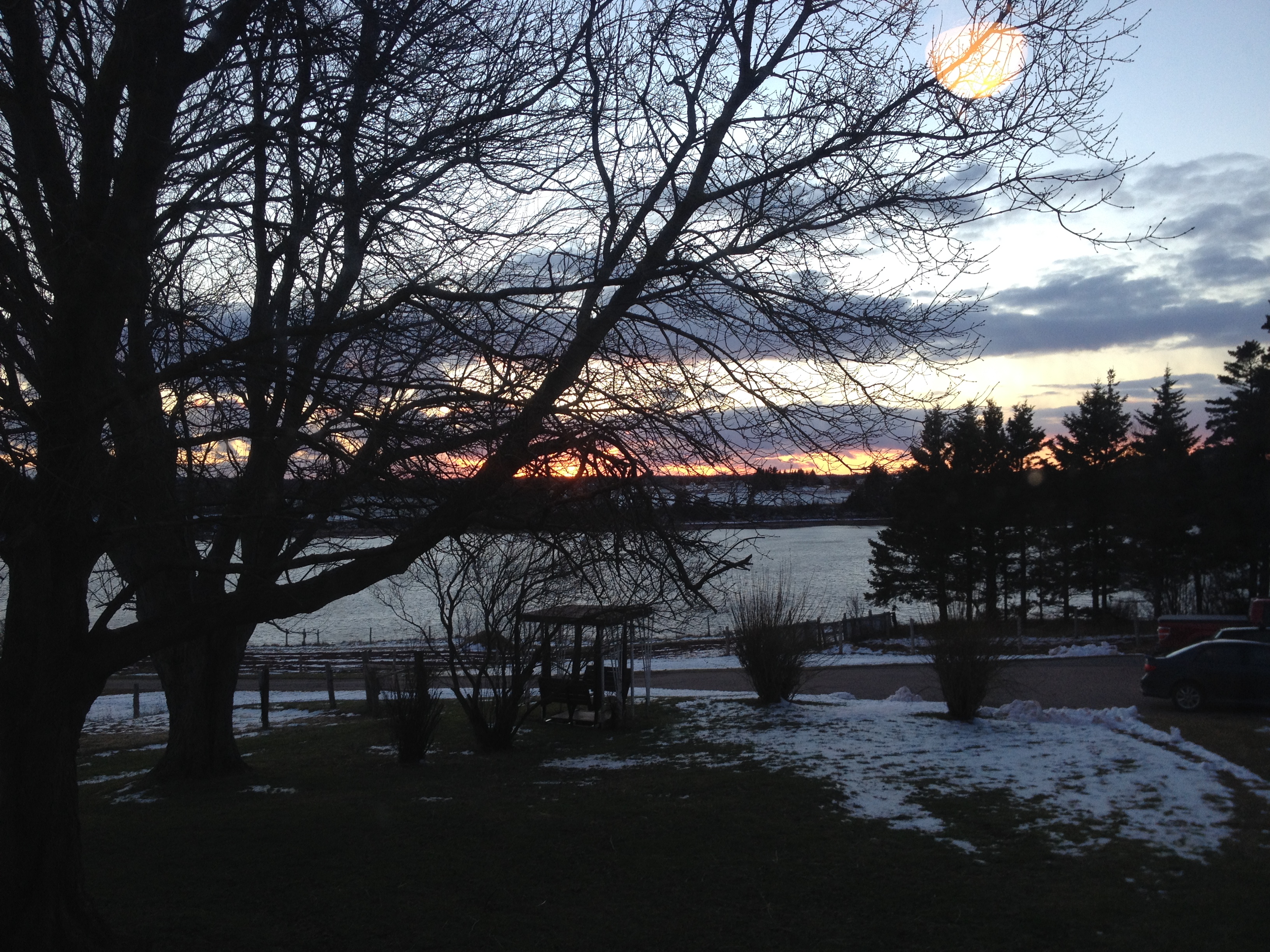
View of New London Bay at sunset.
View from Homestead Trail.
View from the top of the hill behind Karen's house.
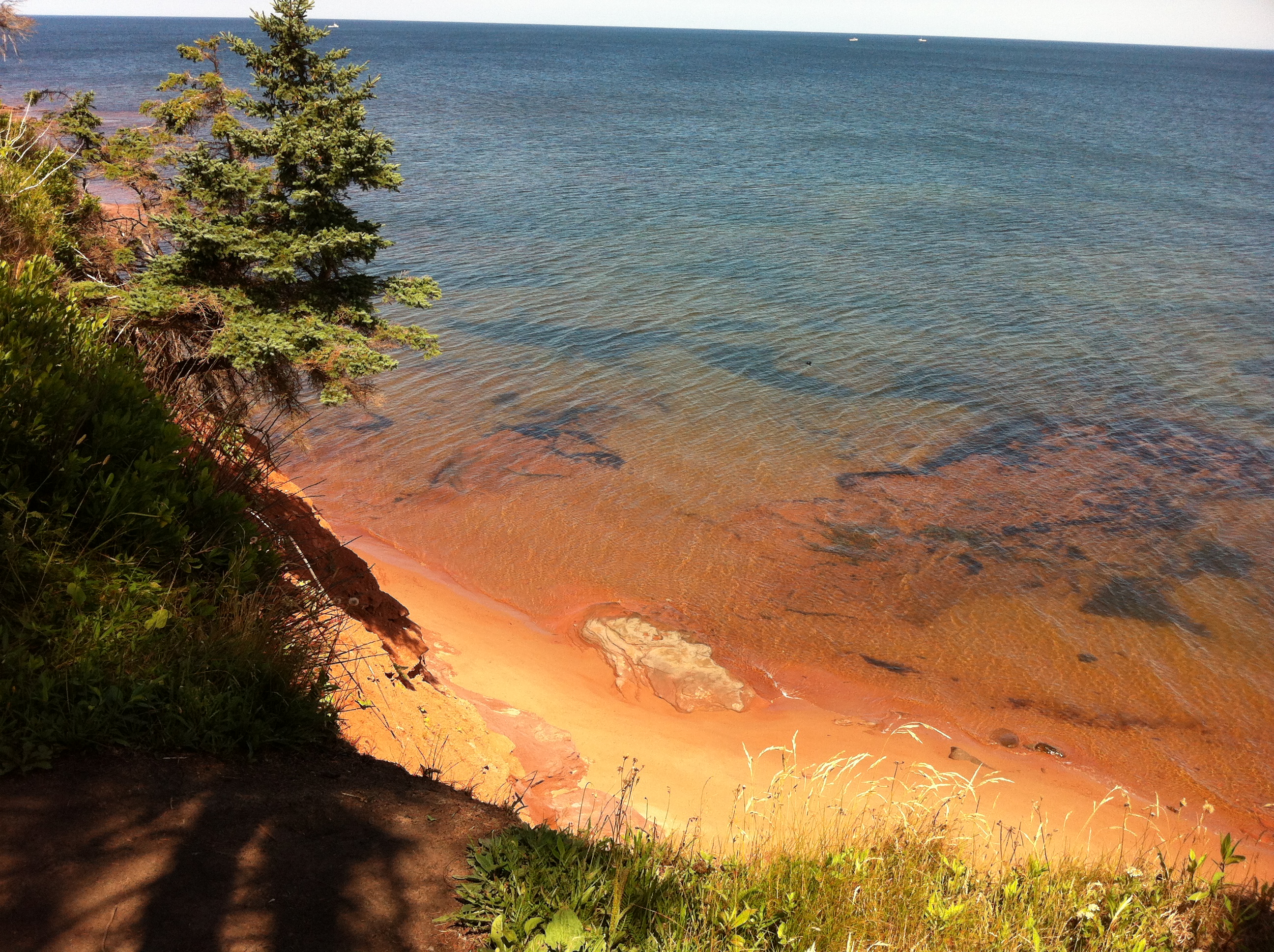
A closer view of Cavendish Beach.
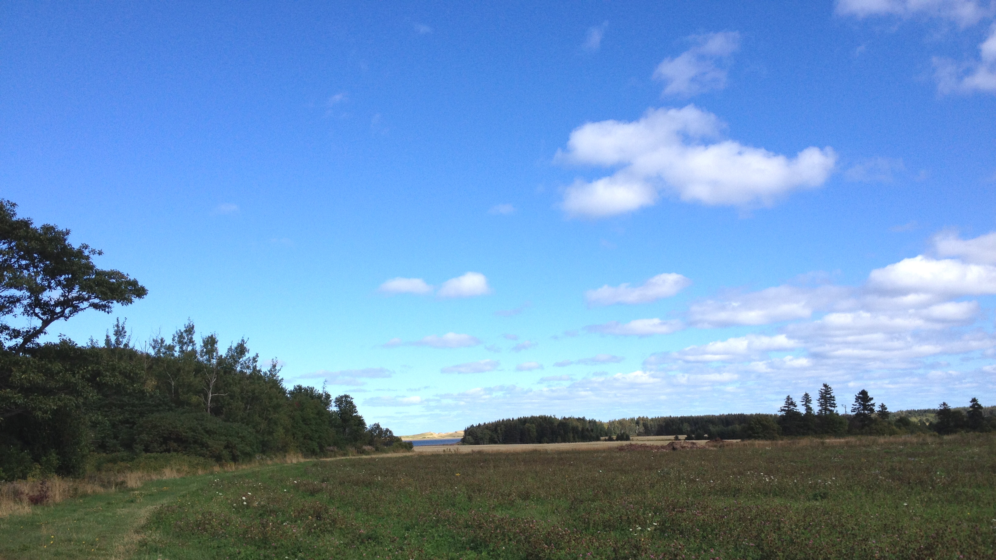
View toward French River.

Another view of the beach.
View towards Spring Brook.
The view off the back deck of the random lunch spot we stopped at on our third year anniversary day. Blown away by the sights on no filter island! #PEI #Gorgeous #BaySide #SeaSide #LocalFlavours #Love #Year4Ever

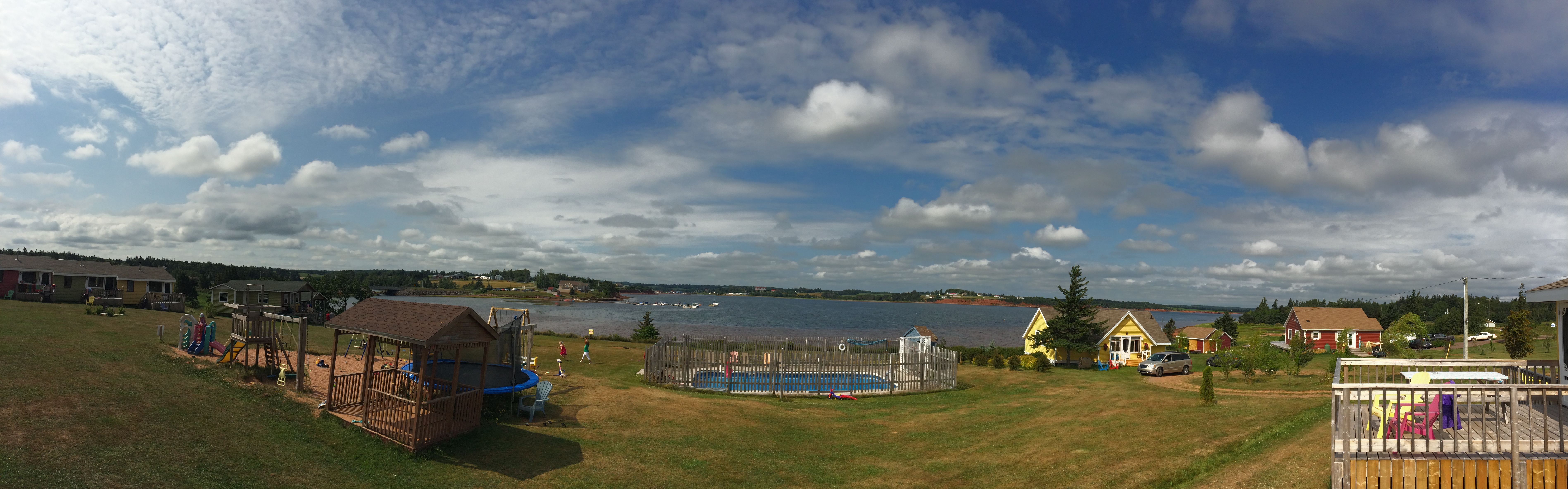
View of the bay from Bruce's gazebo.

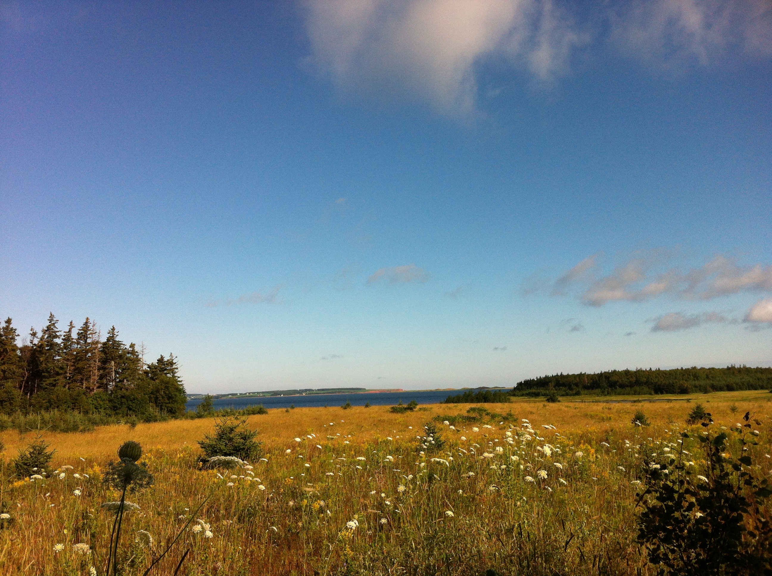
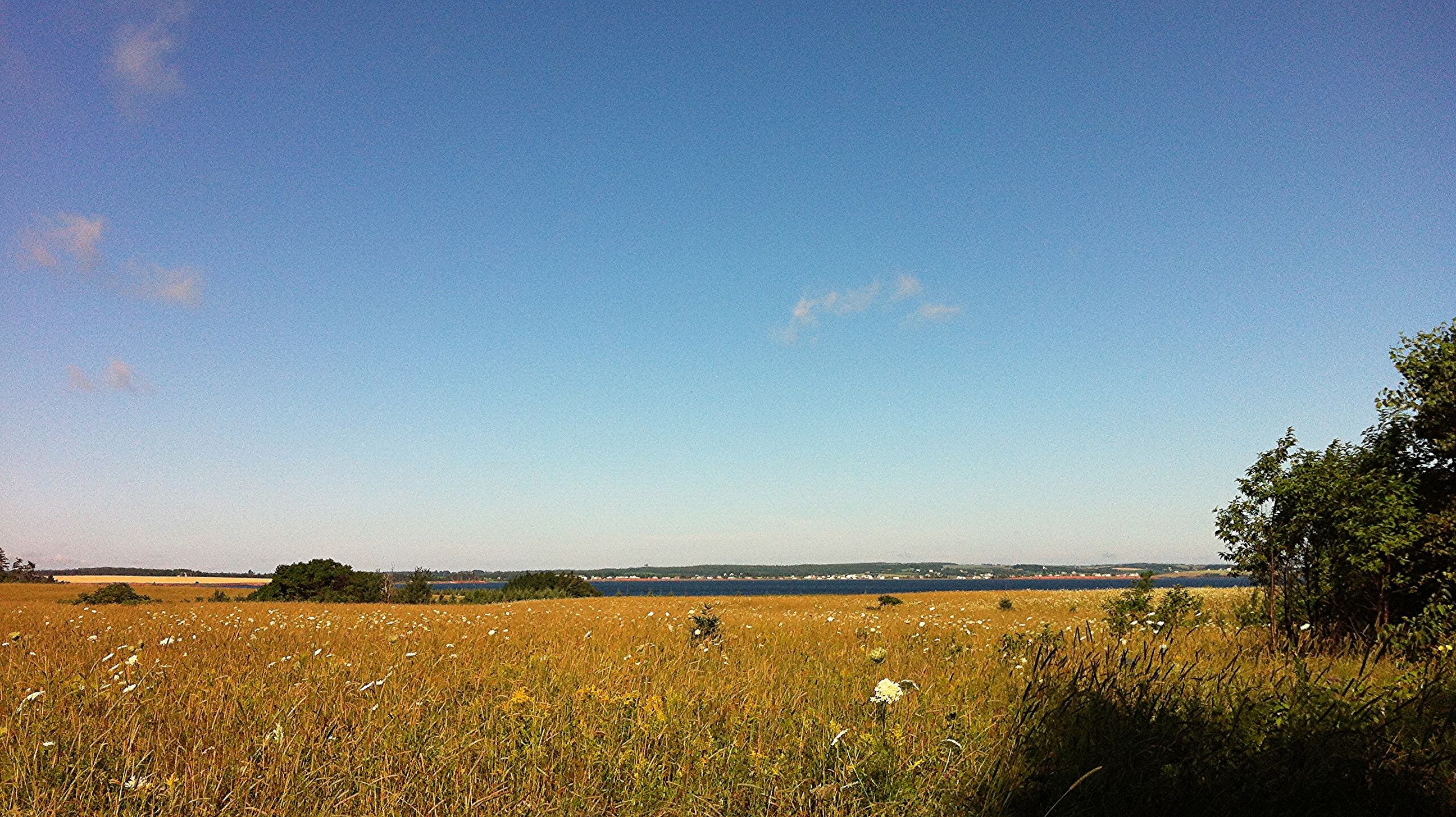
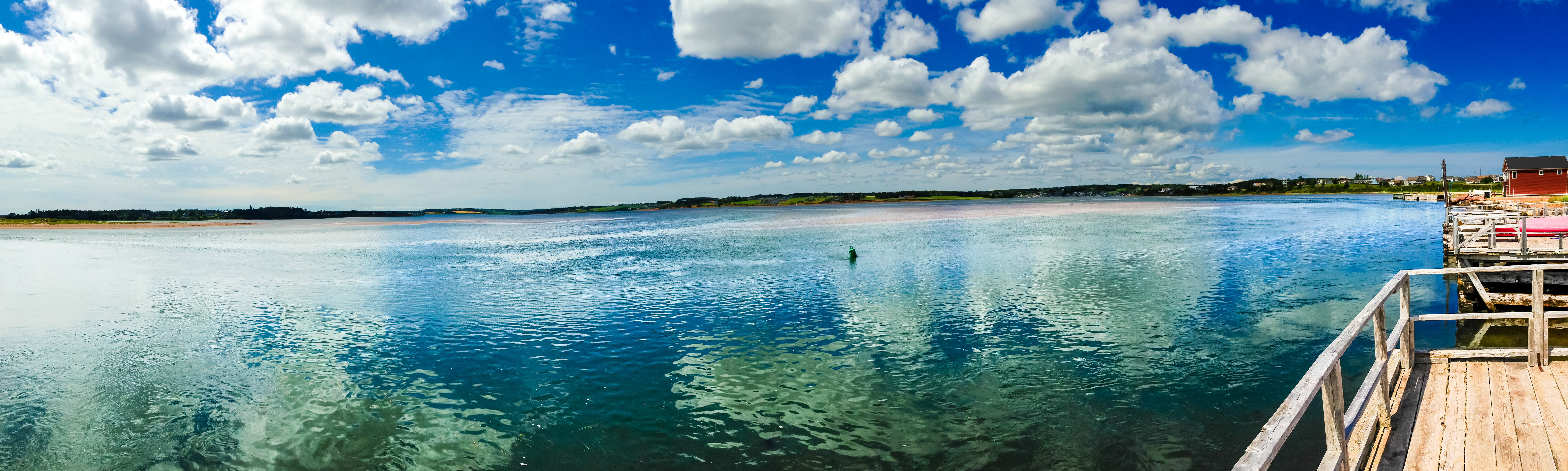
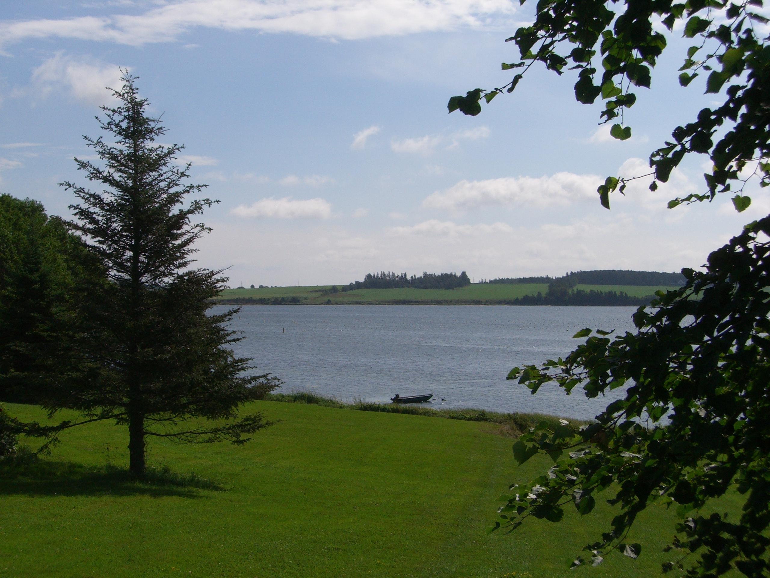
View across New London Bay.

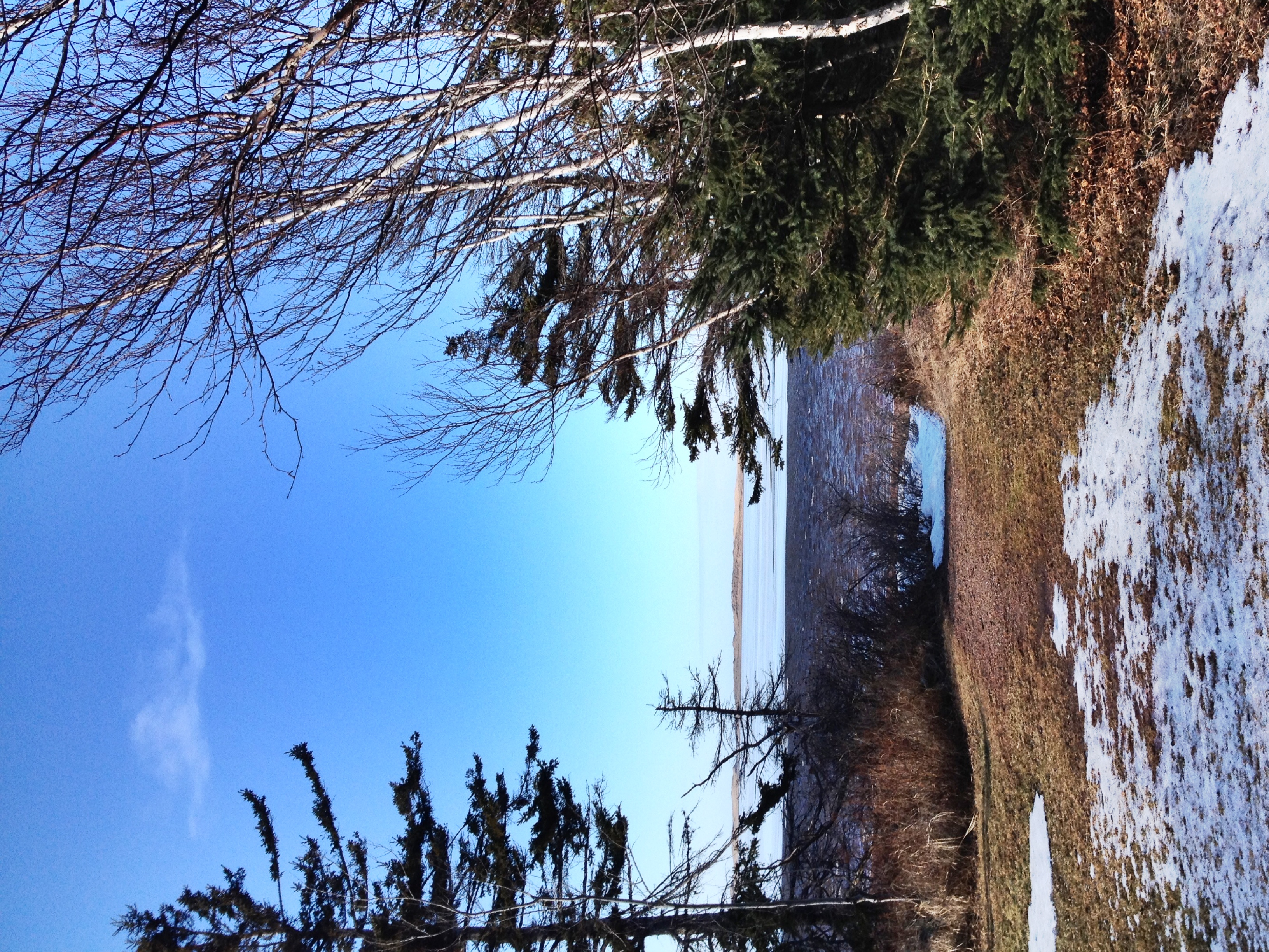
View towards the sand dunes.
View in PEI
View from the field behind Karen's house.
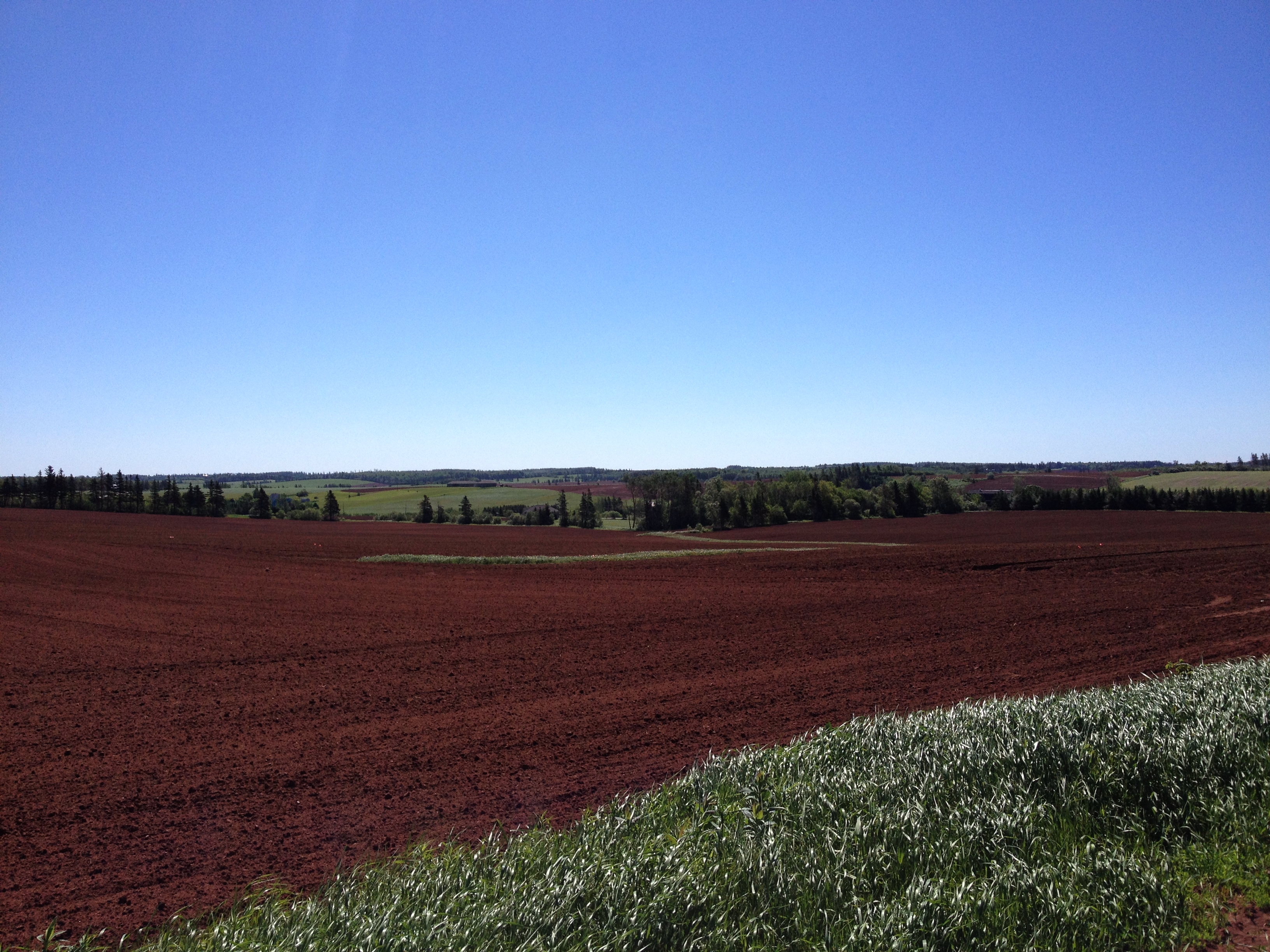
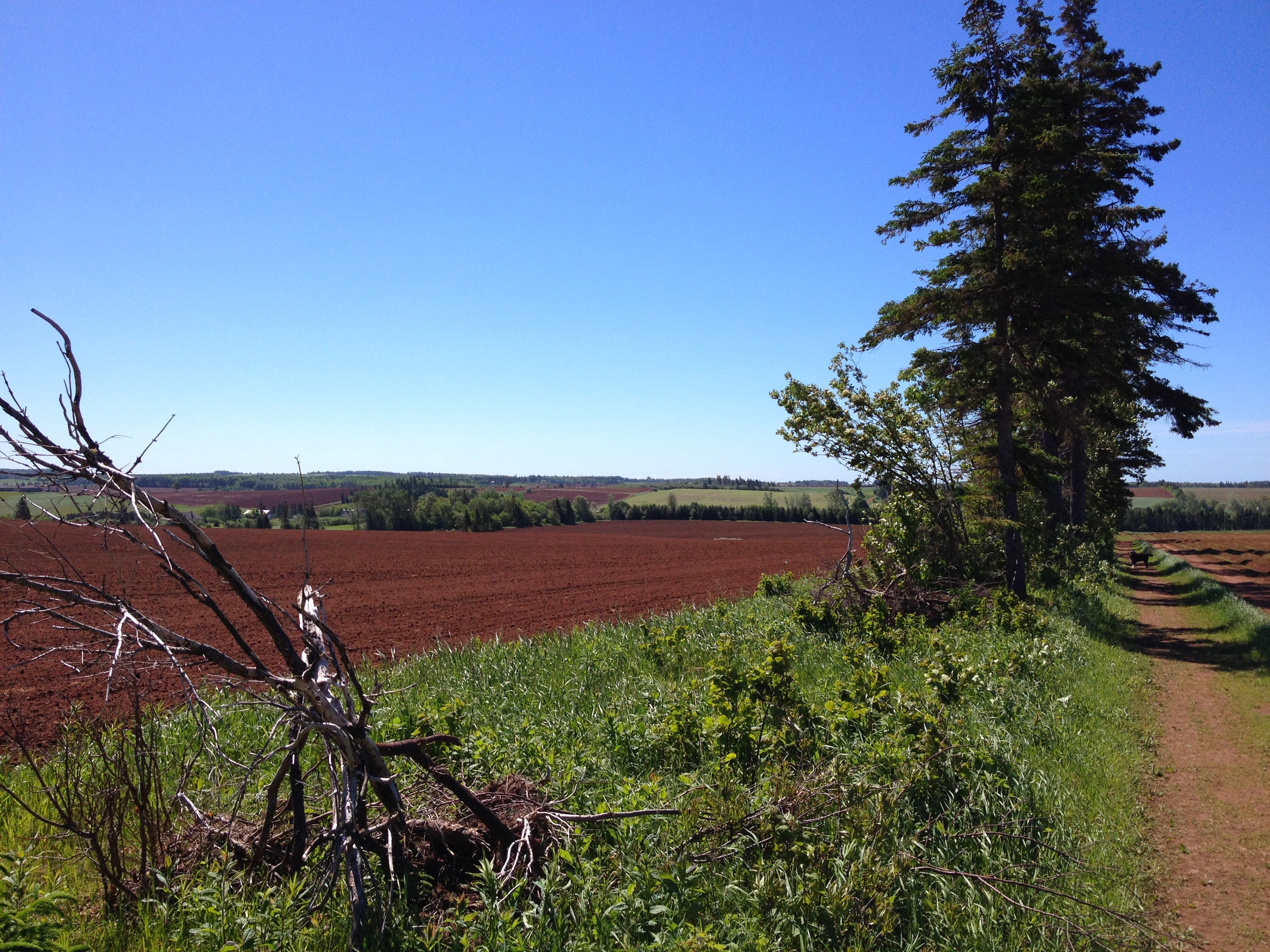
One year of pictures 2015, September 26: View of fields from David's farm down towards the water.
View of bay from Bruce's gazebo.
Stanley Bridge
View from Cois Farraige

Going Down the Rustico Road (explored)

The Old Barn
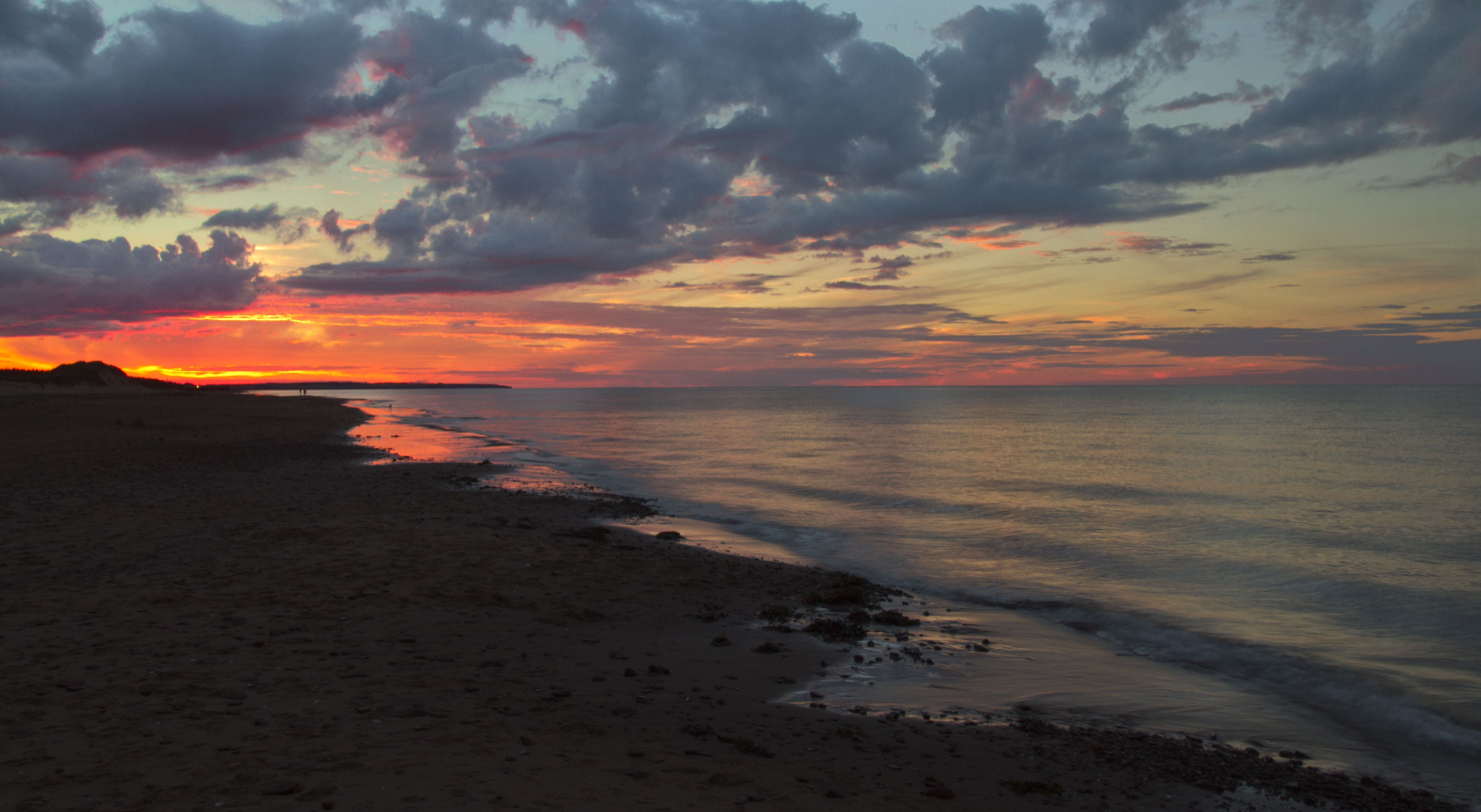
Windy island evening

On the Beach
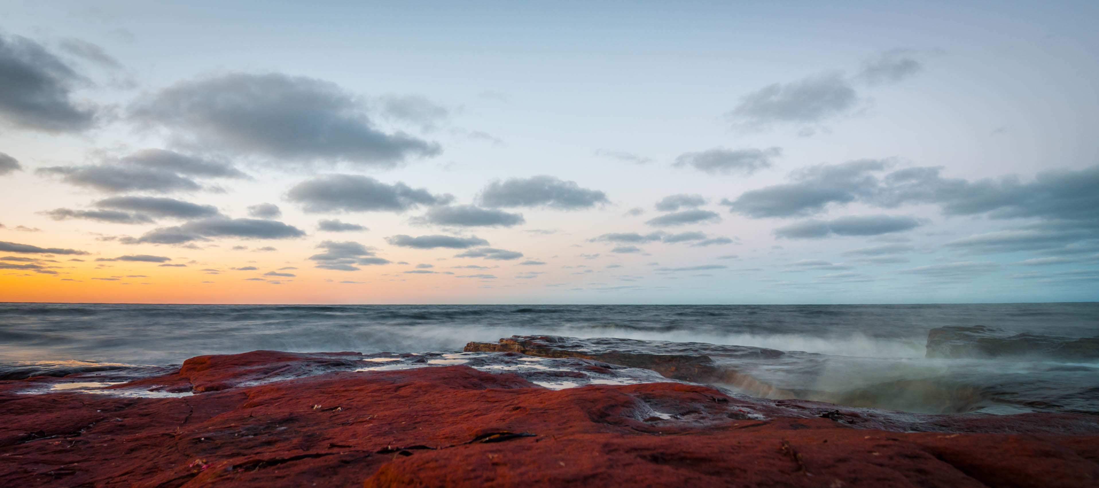
PEI - north shore
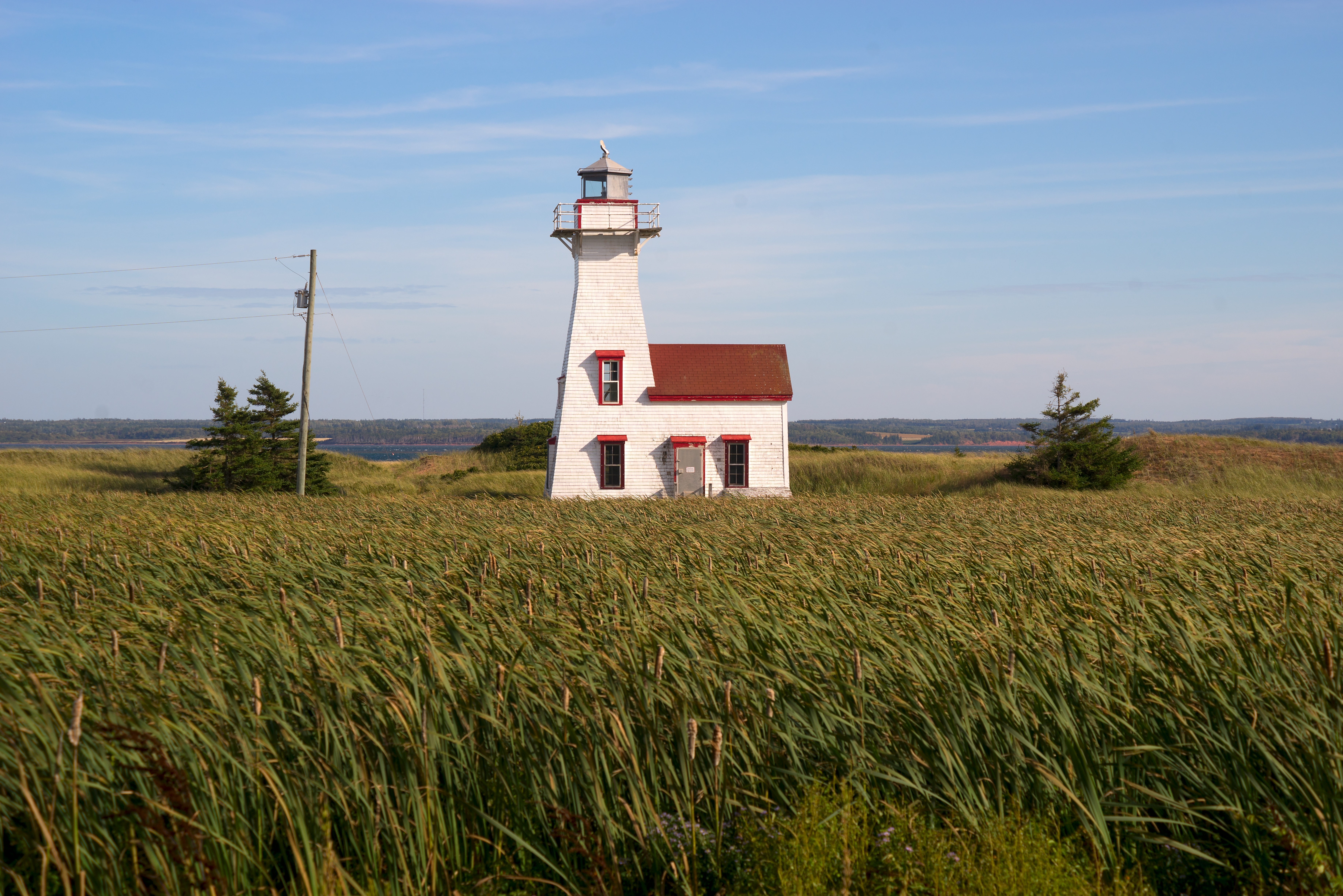
New London Range Rear Lighthouse

Cavendish Beach sunset 2
Magic Wood/Bois Magique

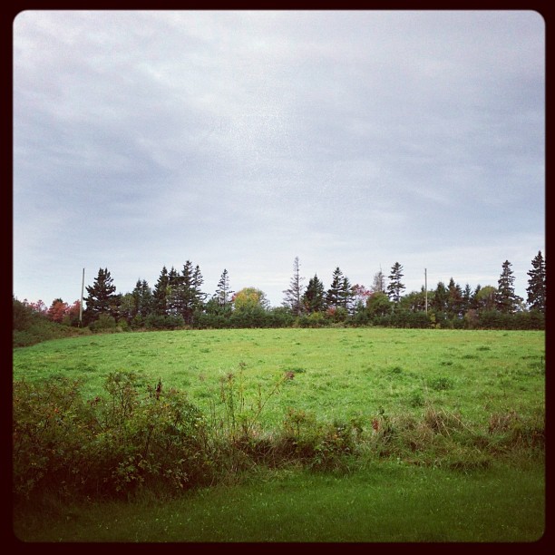
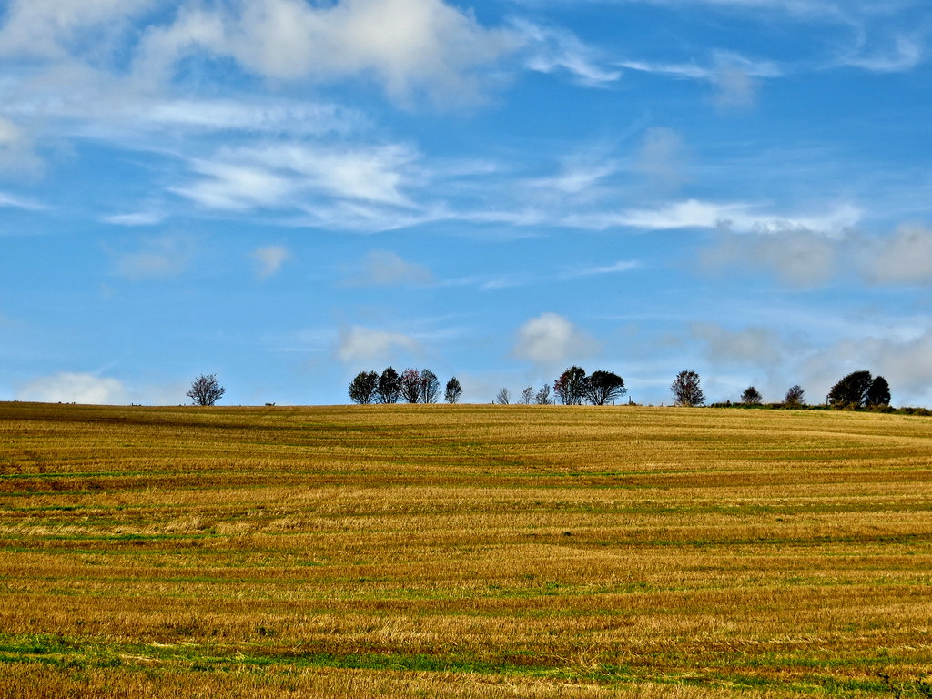
Field, near Kensington, PEI

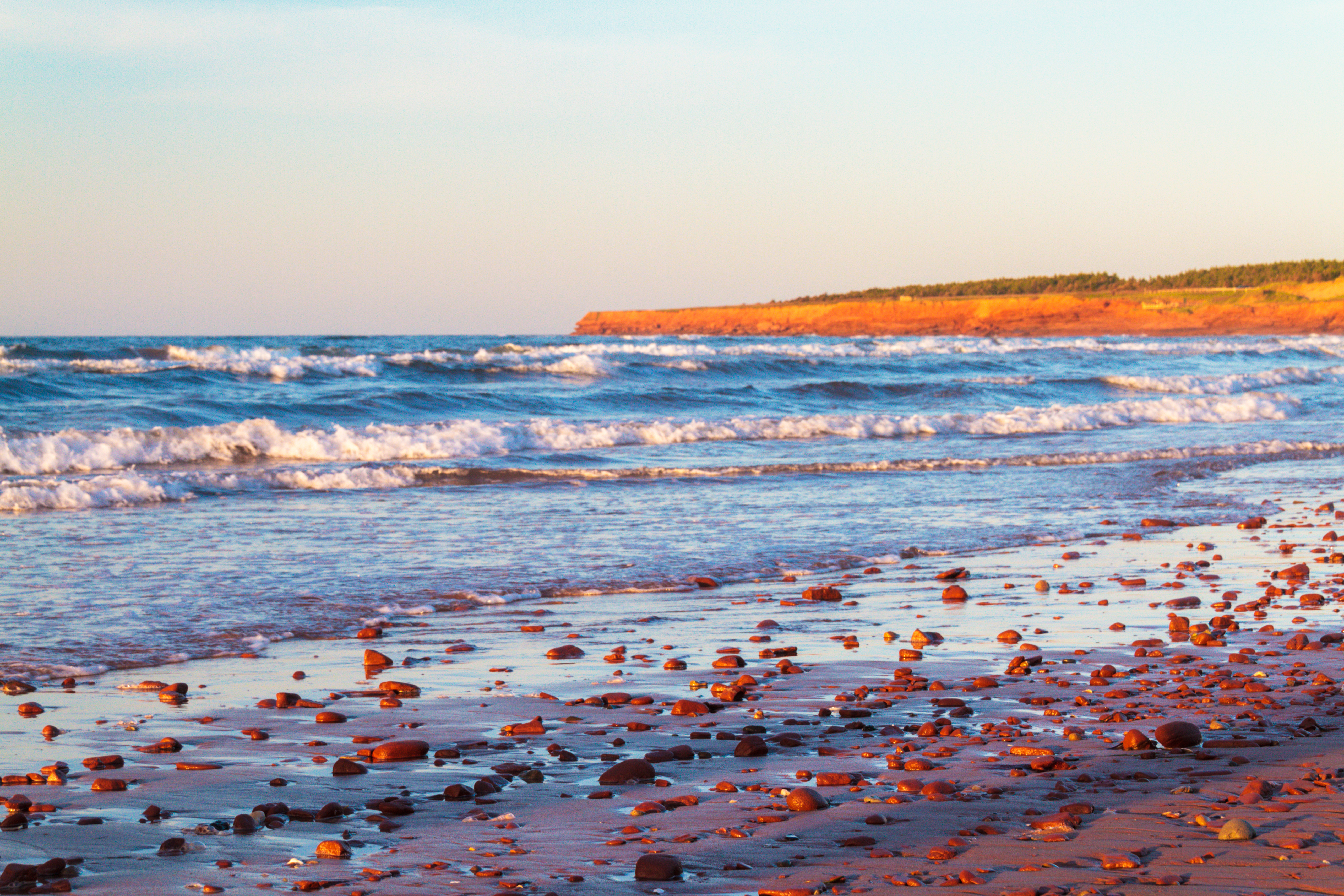
Cavendish Beach, PEI
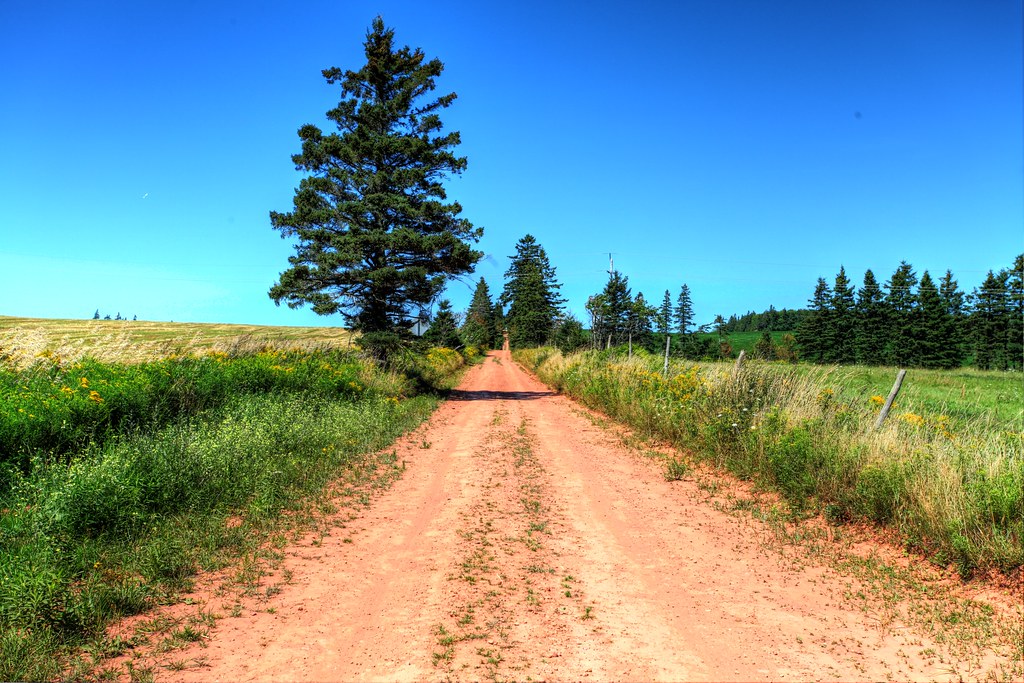
Back road on PEI, HDR
Cavendish Beach sunset 4
PEI 2013

Spuds. #pei

New London Range Rear lighthouse
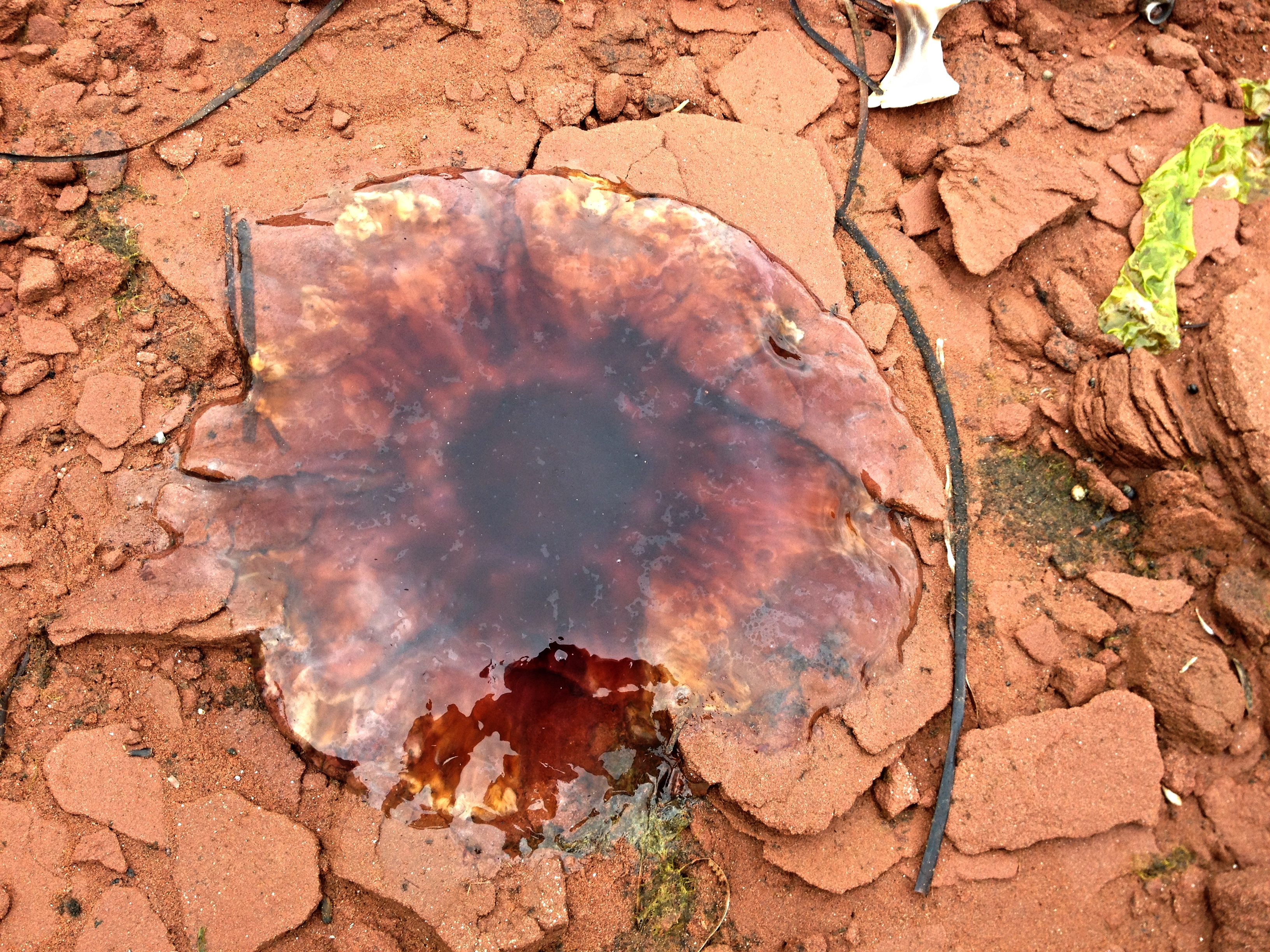
Dead jellyfish on the rocks.
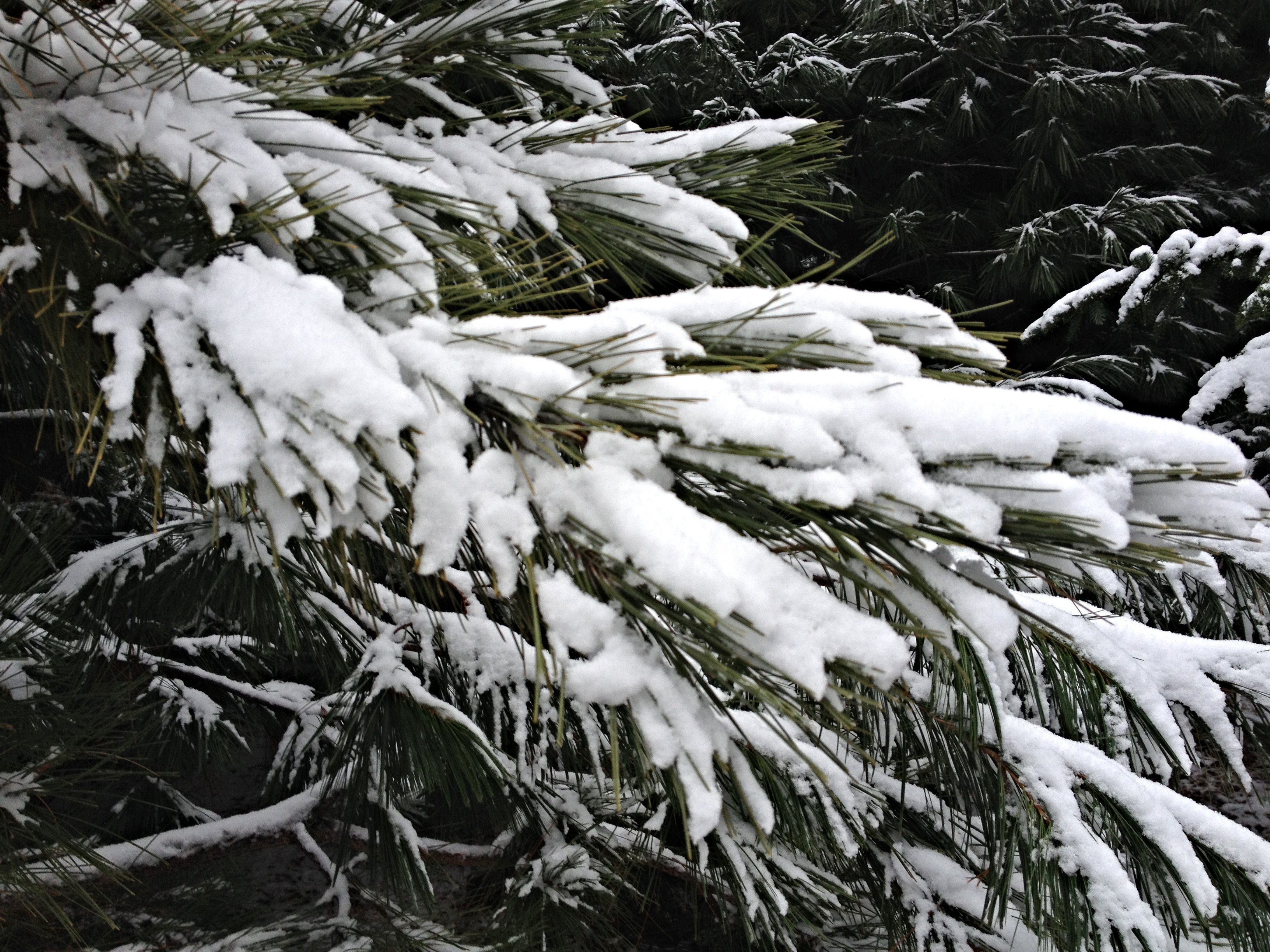
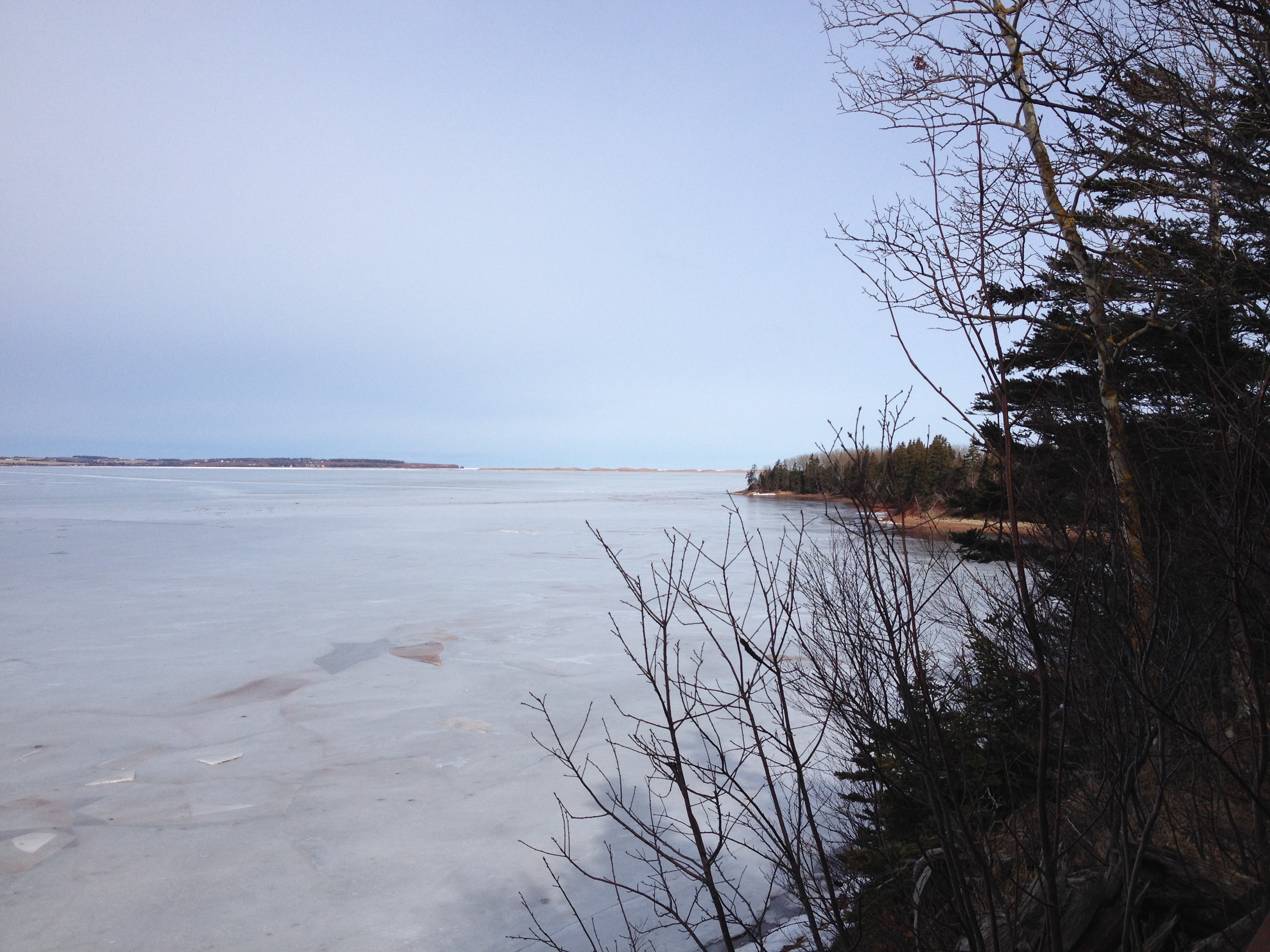
Snow on the pine branches.

PRINCE EDWARD ISLAND
Cape Turner.
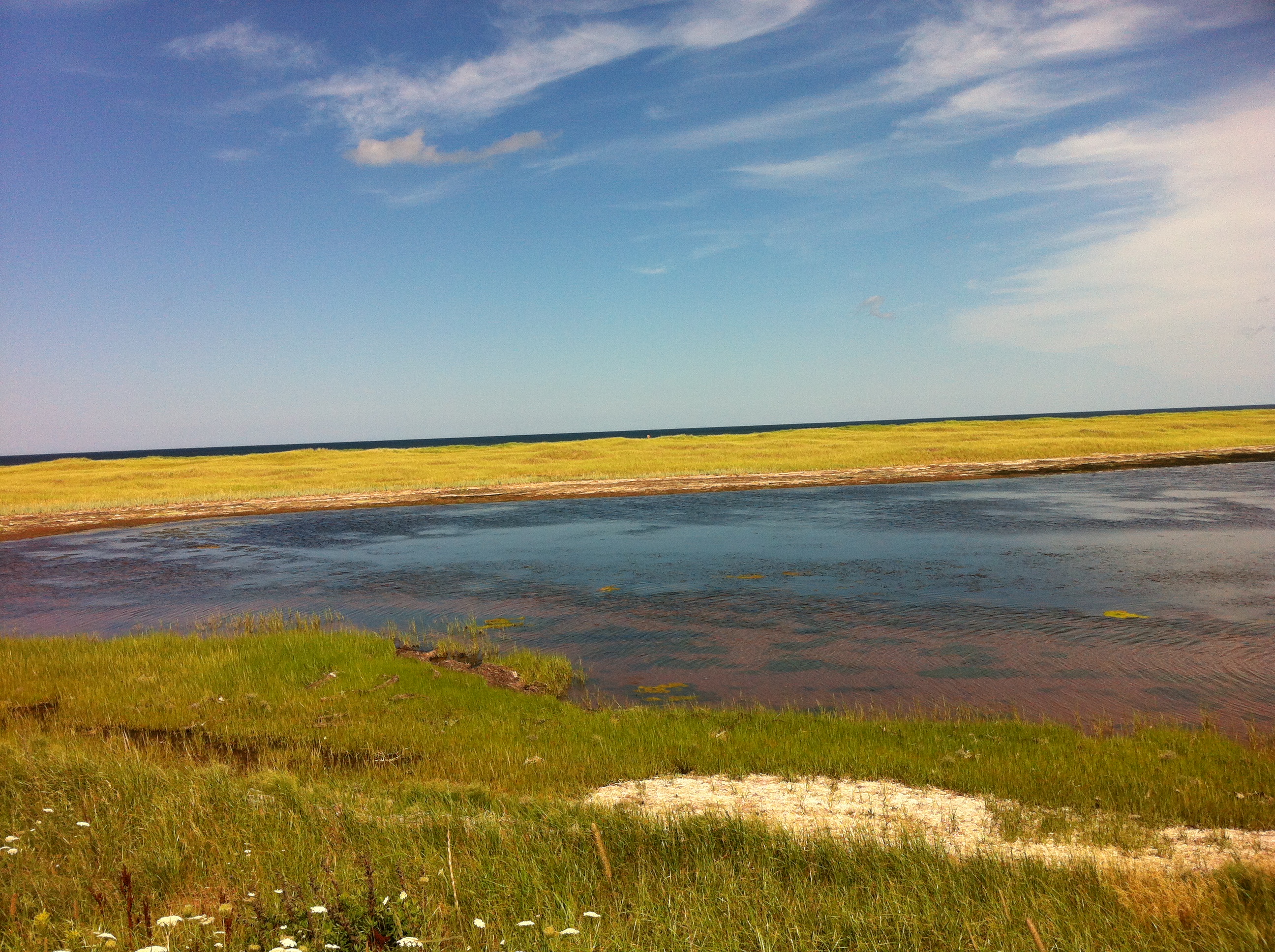
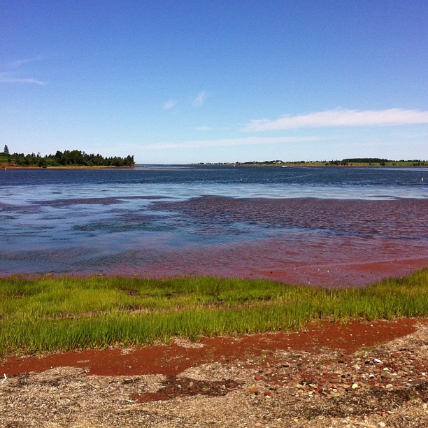
More of the marsh near South Rustico.
Topographic Map of New Orleans Rd, New Glasgow, PE C0A 1N0, Canada
Find elevation by address:

Places near New Orleans Rd, New Glasgow, PE C0A 1N0, Canada:
1217 New Orleans Rd
Lot 22
St Patricks Rd, New Glasgow, PE C0A 1N0, Canada
42 Clyde Rd, New Glasgow, PE C0A 1N0, Canada
Fredericton
52 Fredericton Station Rd
Prince Edward Island 2
Rennies Road
Lot 23
51 Macleod Rd
Prince Edward Island 13
Hunter River
3817 Hopedale Rd
3800 Hopedale Rd
19908 Malpeque Rd
Springton
Hartsville
Lot 67
3421 Dixon Rd
3378 Dixon Rd
Recent Searches:
- Elevation map of Greenland, Greenland
- Elevation of Sullivan Hill, New York, New York, 10002, USA
- Elevation of Morehead Road, Withrow Downs, Charlotte, Mecklenburg County, North Carolina, 28262, USA
- Elevation of 2800, Morehead Road, Withrow Downs, Charlotte, Mecklenburg County, North Carolina, 28262, USA
- Elevation of Yangbi Yi Autonomous County, Yunnan, China
- Elevation of Pingpo, Yangbi Yi Autonomous County, Yunnan, China
- Elevation of Mount Malong, Pingpo, Yangbi Yi Autonomous County, Yunnan, China
- Elevation map of Yongping County, Yunnan, China
- Elevation of North 8th Street, Palatka, Putnam County, Florida, 32177, USA
- Elevation of 107, Big Apple Road, East Palatka, Putnam County, Florida, 32131, USA
- Elevation of Jiezi, Chongzhou City, Sichuan, China
- Elevation of Chongzhou City, Sichuan, China
- Elevation of Huaiyuan, Chongzhou City, Sichuan, China
- Elevation of Qingxia, Chengdu, Sichuan, China
- Elevation of Corso Fratelli Cairoli, 35, Macerata MC, Italy
- Elevation of Tallevast Rd, Sarasota, FL, USA
- Elevation of 4th St E, Sonoma, CA, USA
- Elevation of Black Hollow Rd, Pennsdale, PA, USA
- Elevation of Oakland Ave, Williamsport, PA, USA
- Elevation of Pedrógão Grande, Portugal