Elevation of Goosenecks State Park, UT-, Mexican Hat, UT, USA
Location: United States > Utah > San Juan County >
Longitude: -109.92694
Latitude: 37.1755197
Elevation: 1515m / 4970feet
Barometric Pressure: 84KPa
Elevation Map:
Satellite Map:
Related Photos:
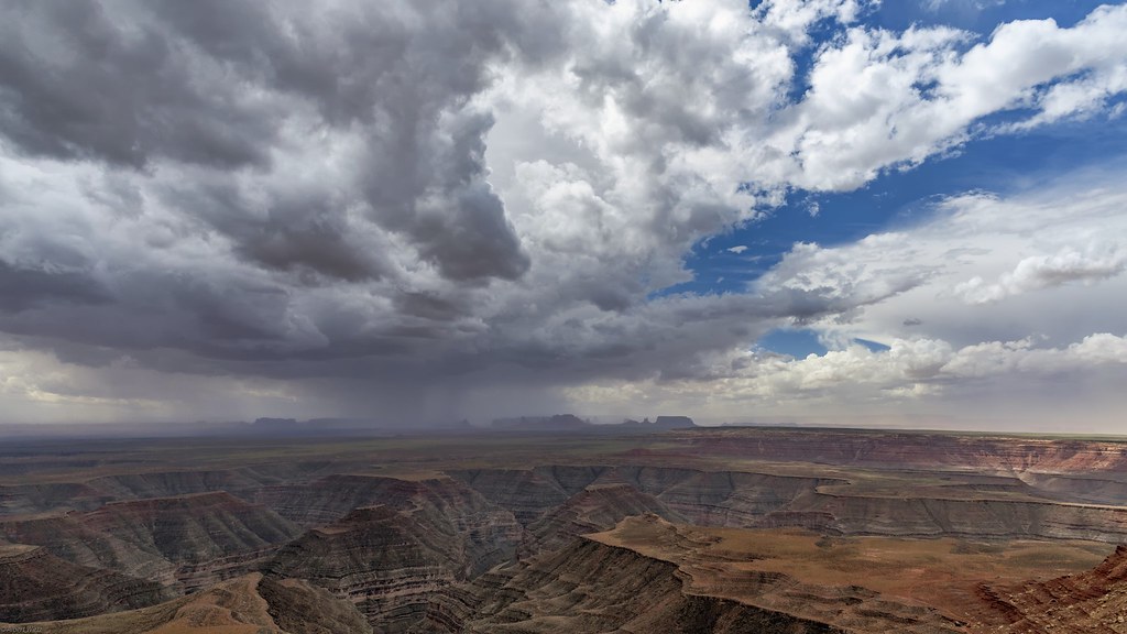
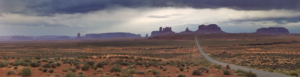
*Muley Point @ Storm over Monument Valley*

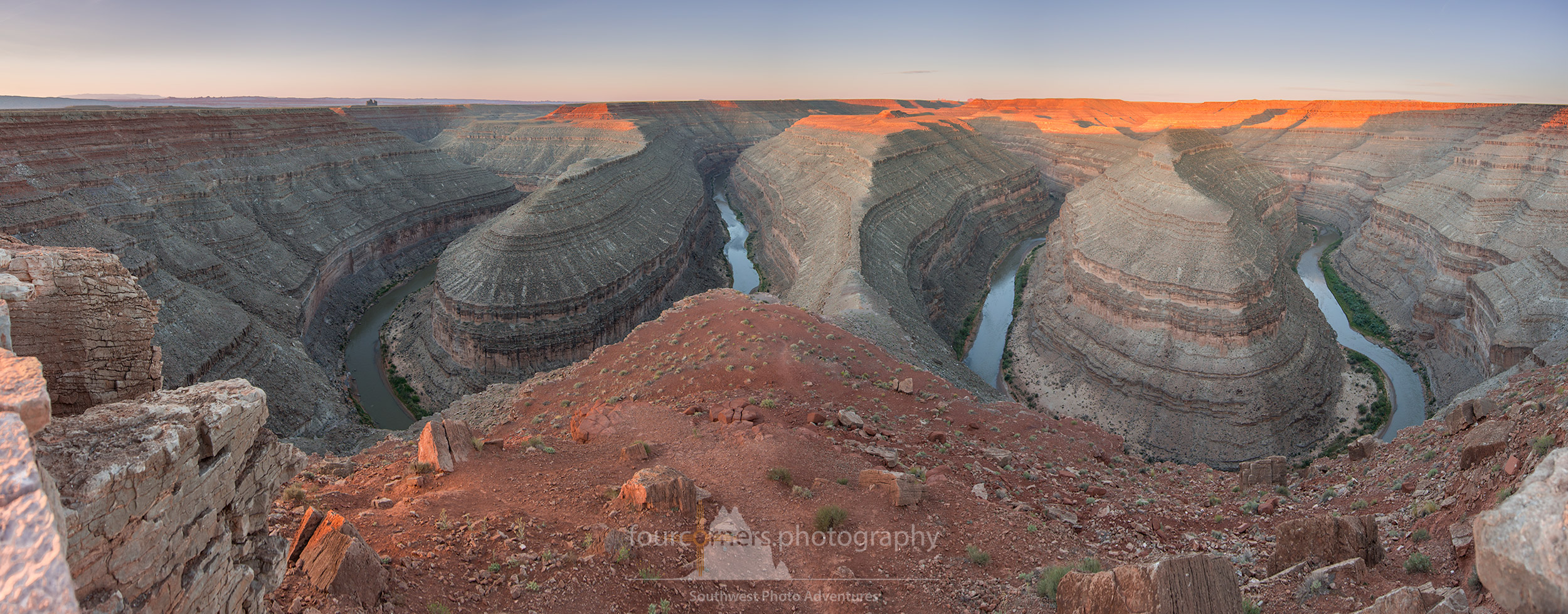
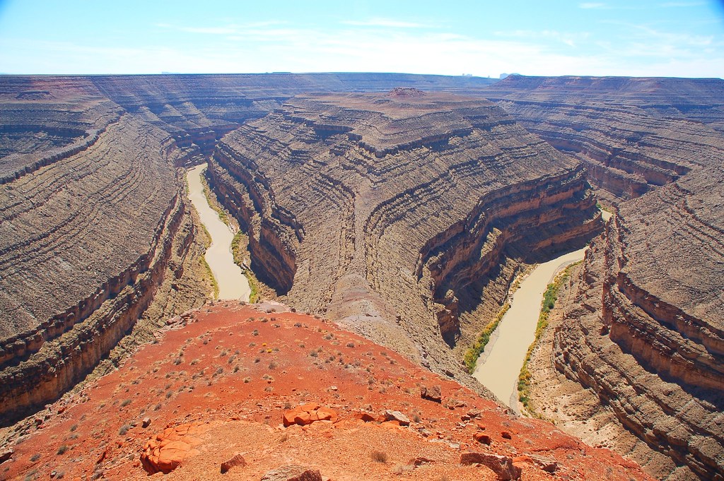
Panorama of Goosenecks of the San Juan River at Utah's Gooseneck State Park
One For The Road

Gooseneck State Park
San Juan Goosenecks

Clouds over Monuments
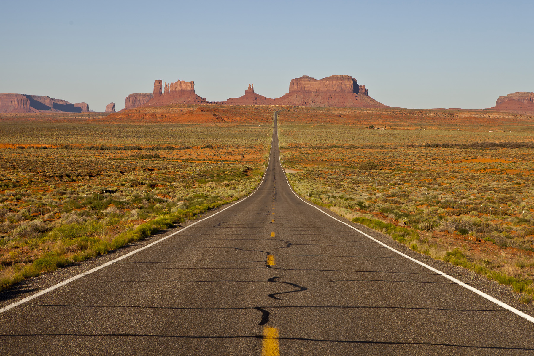
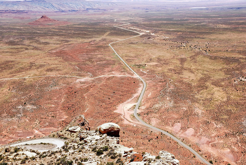
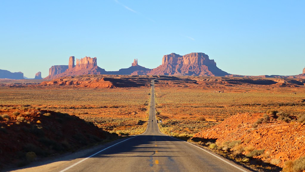
The Long Road
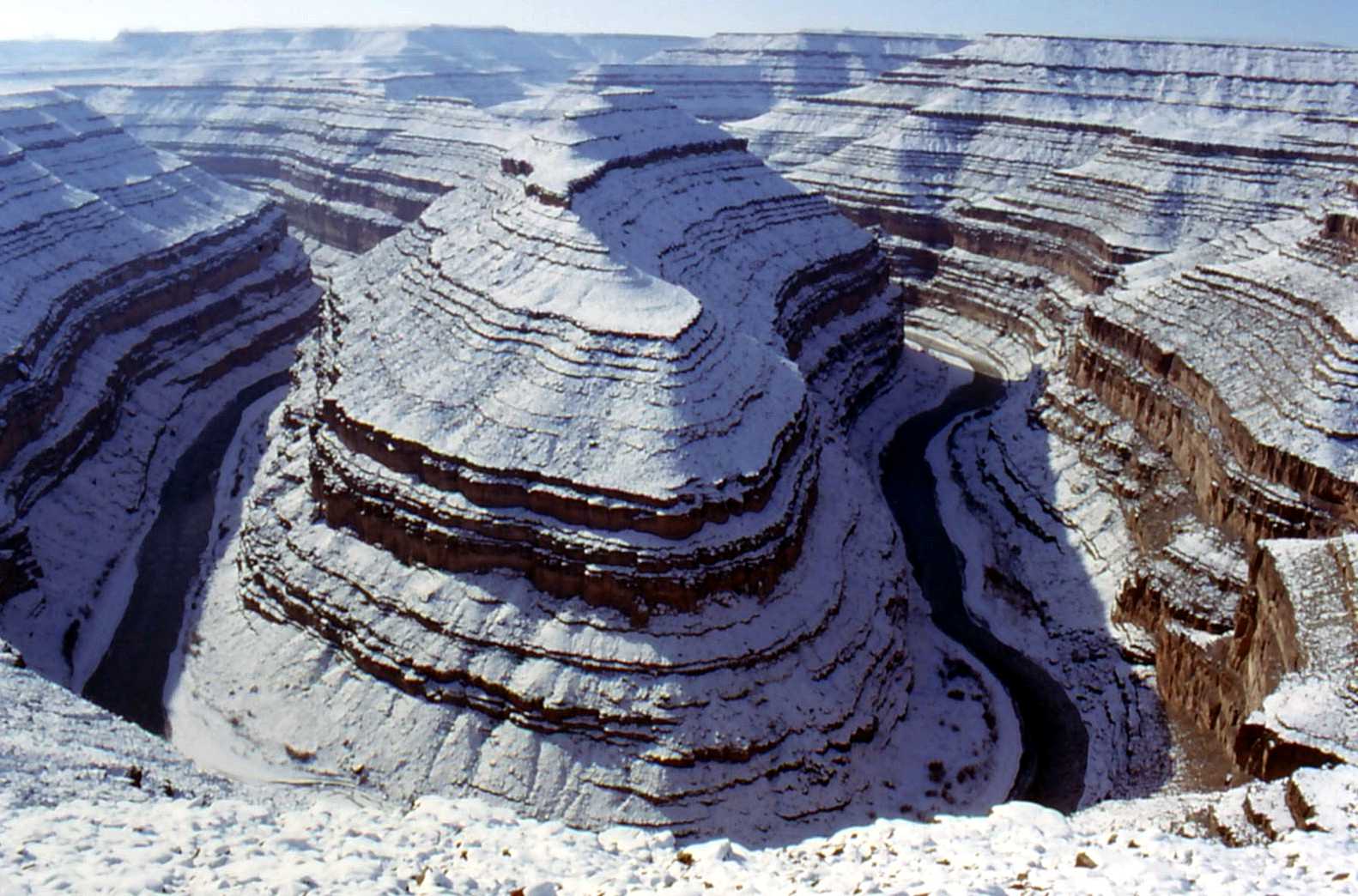
Gooseneck Canyon

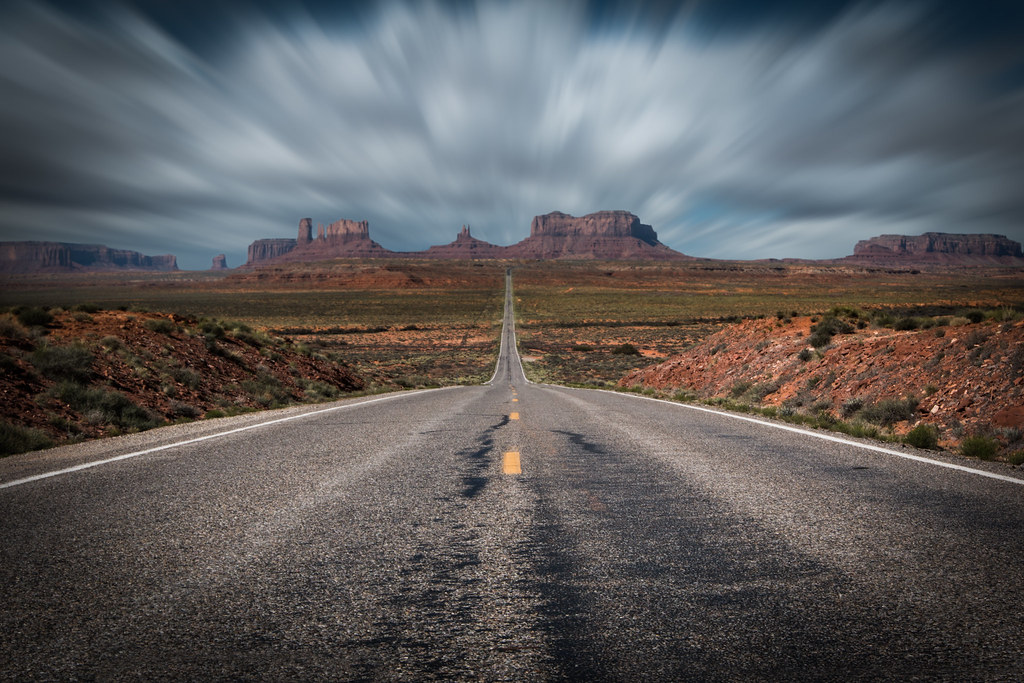
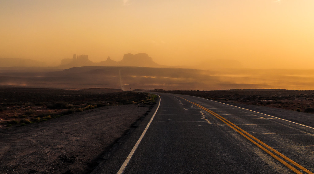
US 163

The Mittens of Monument Valley

Gooseneck State Park
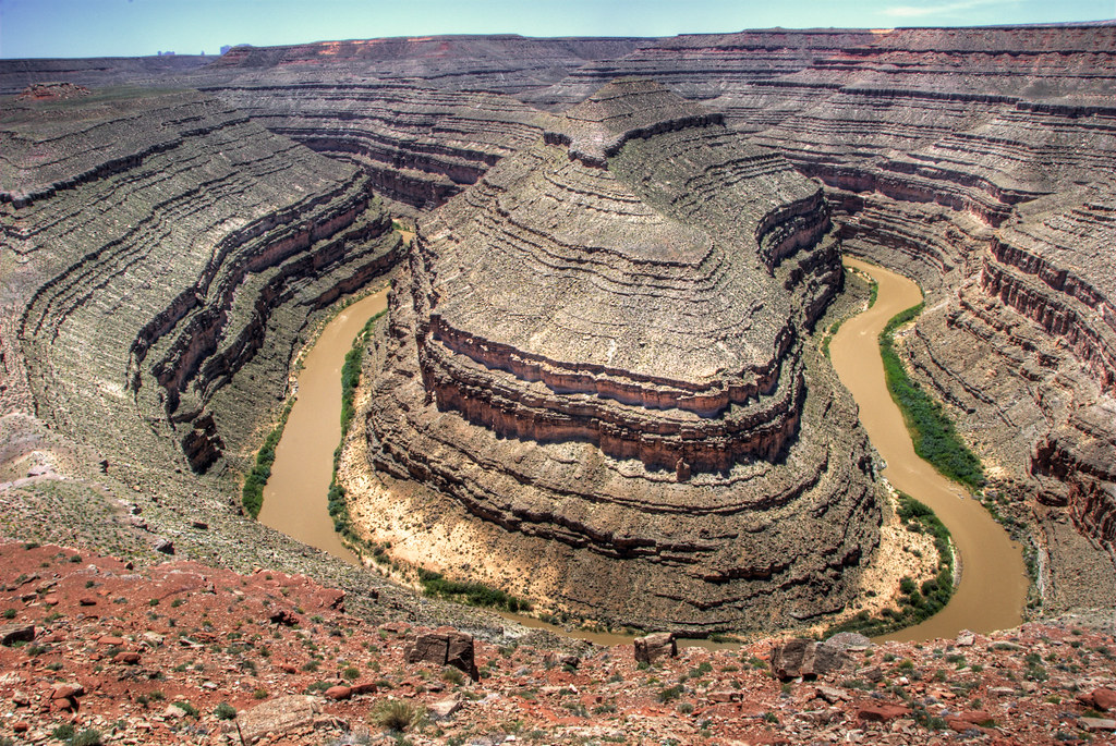
San Juan River and its gooseneck, Utah
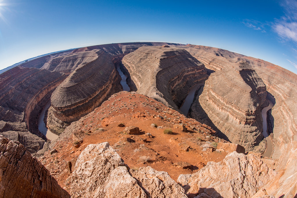
Gooseneck State Park
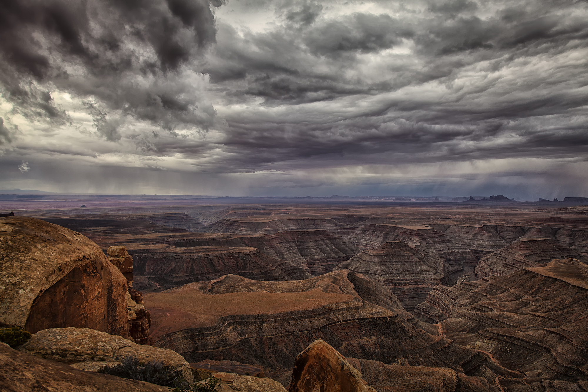
Thunderstorm over Monument Valley and The San Juan Goosenecks

Road to My Past
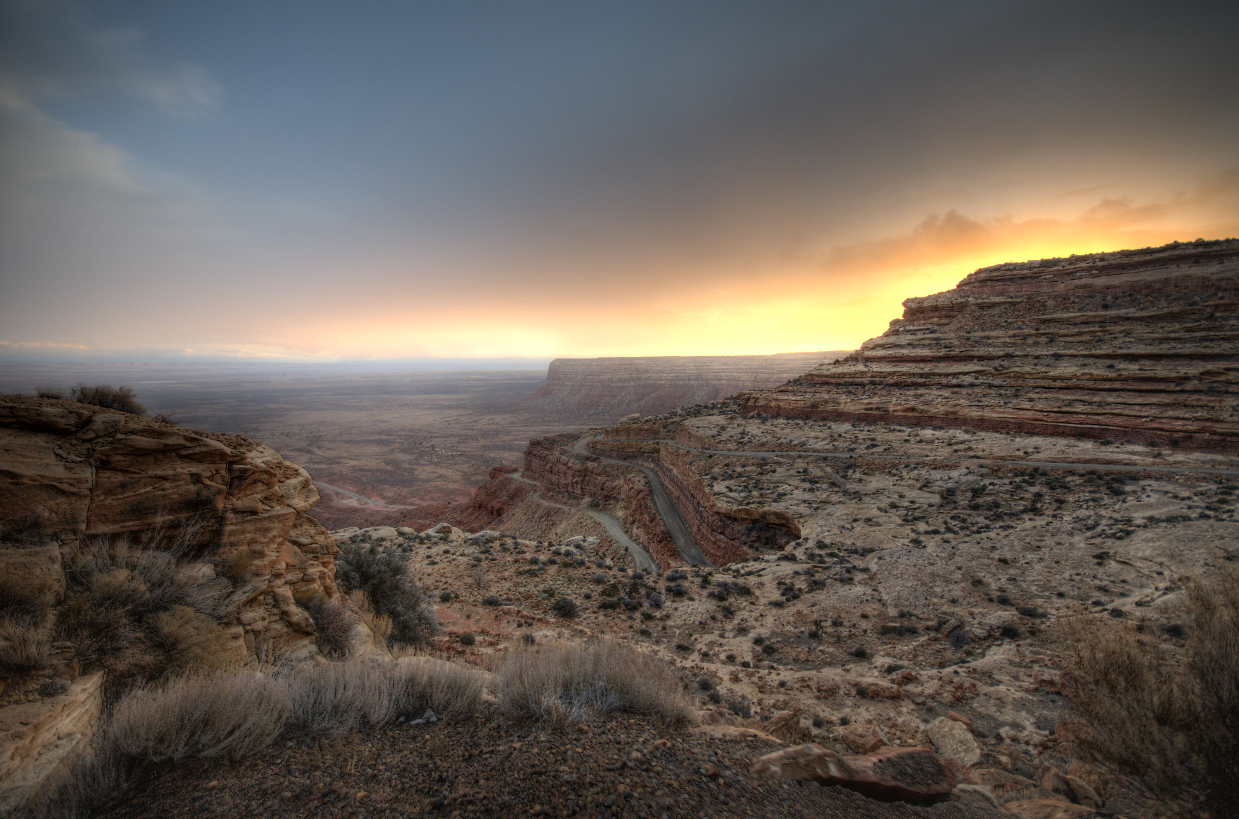
sunset over SR 261
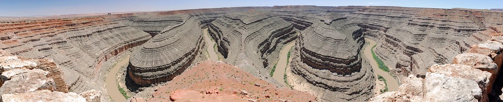
Goosenecks panorama, Utah
Mulie Point Road, Utah

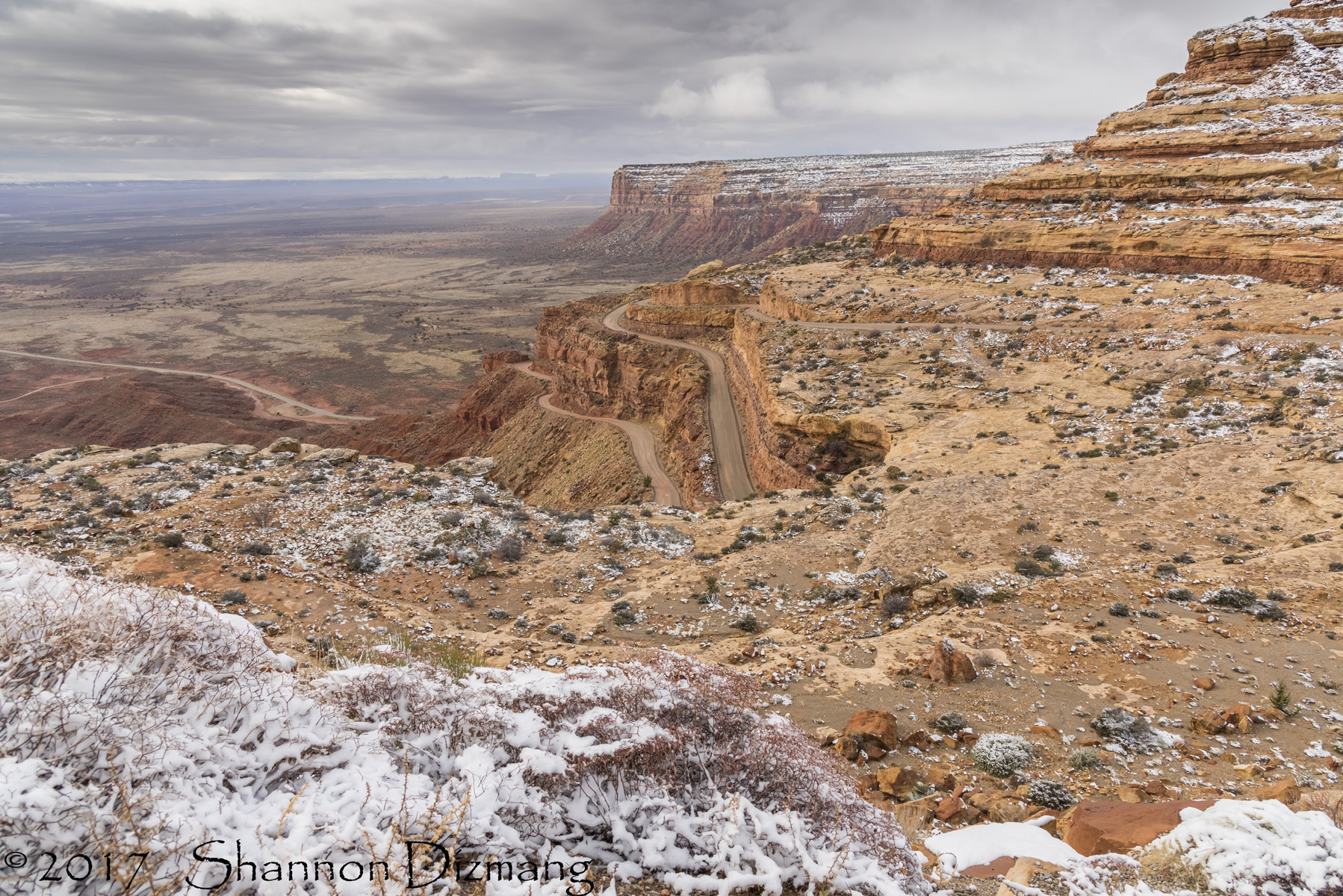
Moki Dugway
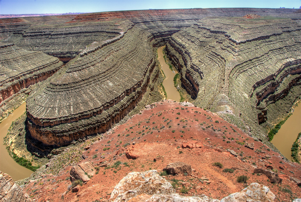
The Goosenecks, Utah
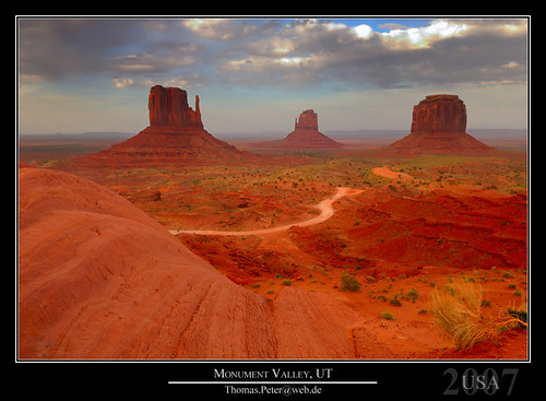
Monument Valley, UT
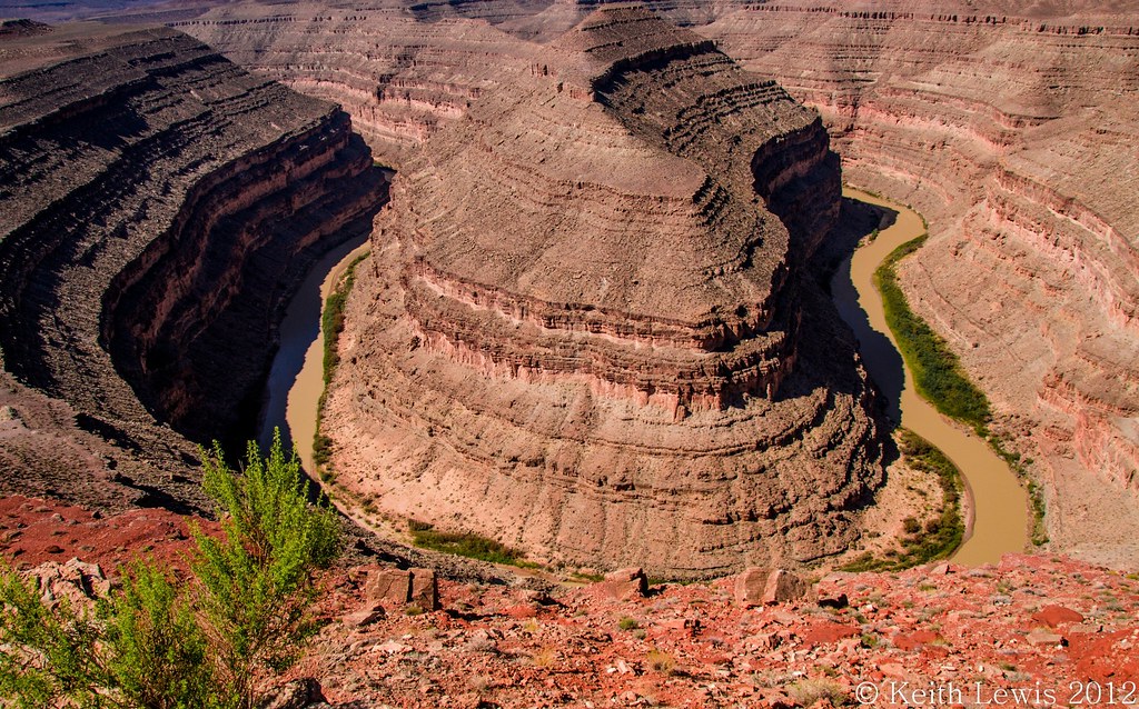
Goosenecks State Park...Utah

USA // Utah // Goosenecks State Reserve (HDR)

San Juan River
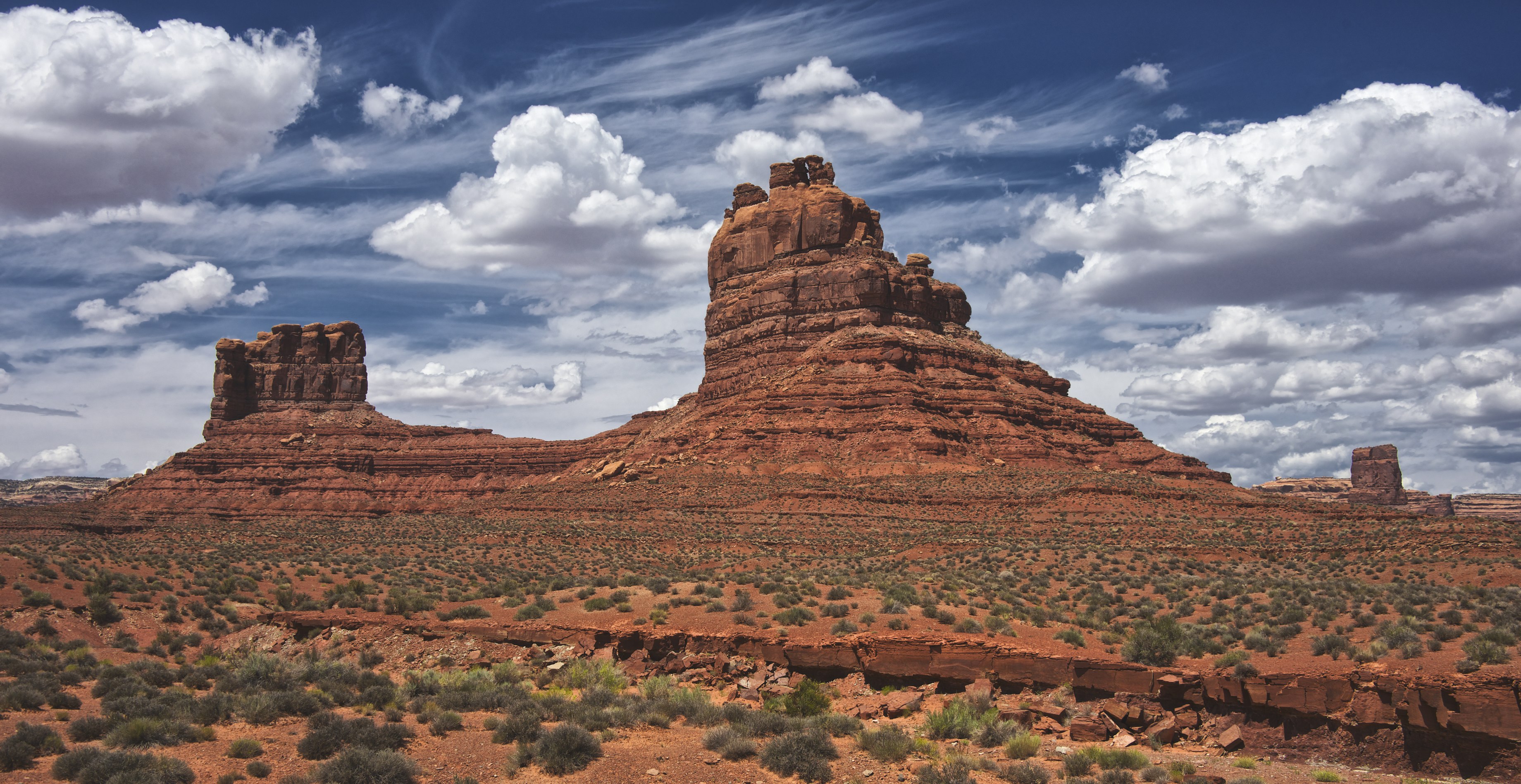
Valley of Gods, Utah
Desert iPhoneography
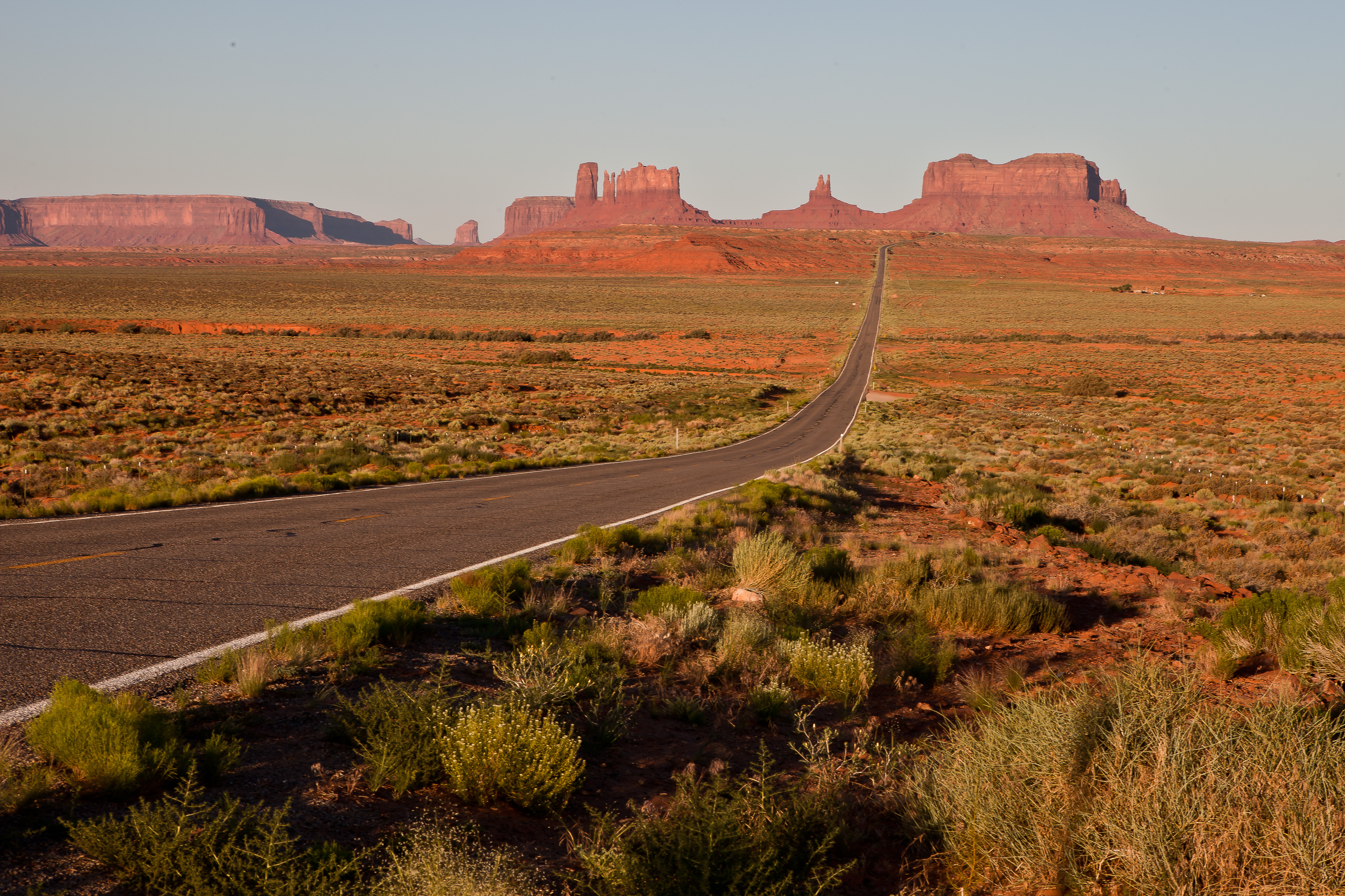
Road to Monument Valley
2012-04-13 at 19-43-40 - Monument Valley - V3

The Moki Dugway
Monument Valley

Utah _D802190
Valley of the Gods from Moki Dugway (150°)

1994_087.jpg
...and back again
Utah Landscape

1994_086.jpg

1994_085.jpg
Sandstorm in Momument Valley
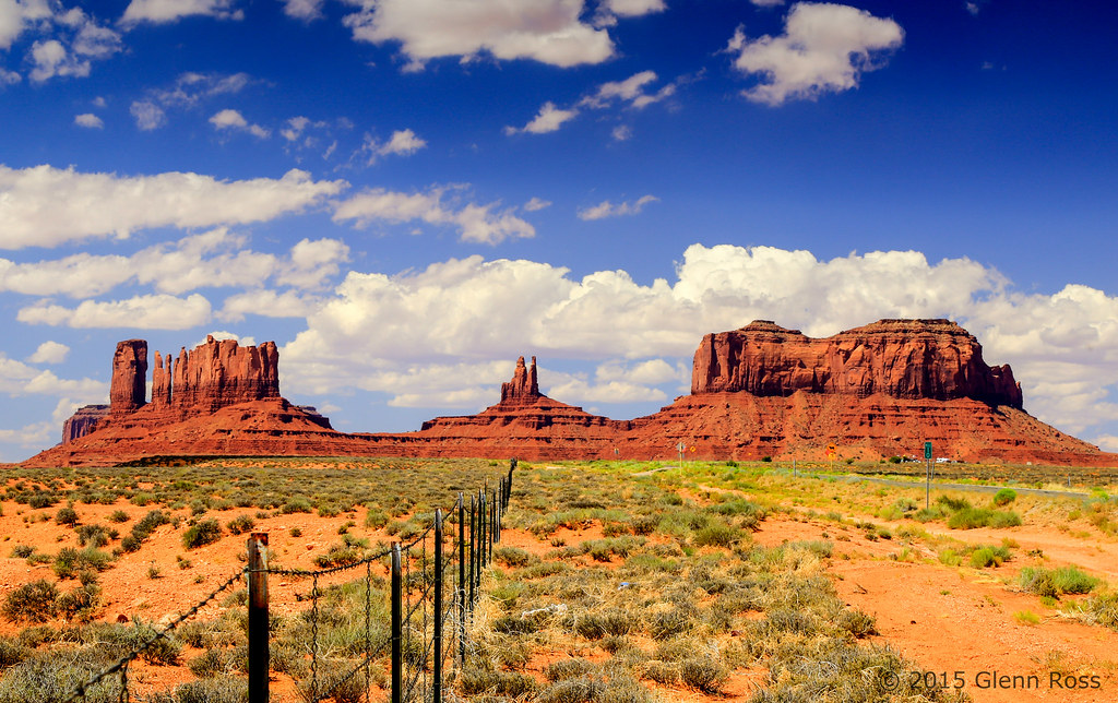
Monument Valley Fencing-844401

The Goosenecks
Topographic Map of Goosenecks State Park, UT-, Mexican Hat, UT, USA
Find elevation by address:

Places near Goosenecks State Park, UT-, Mexican Hat, UT, USA:
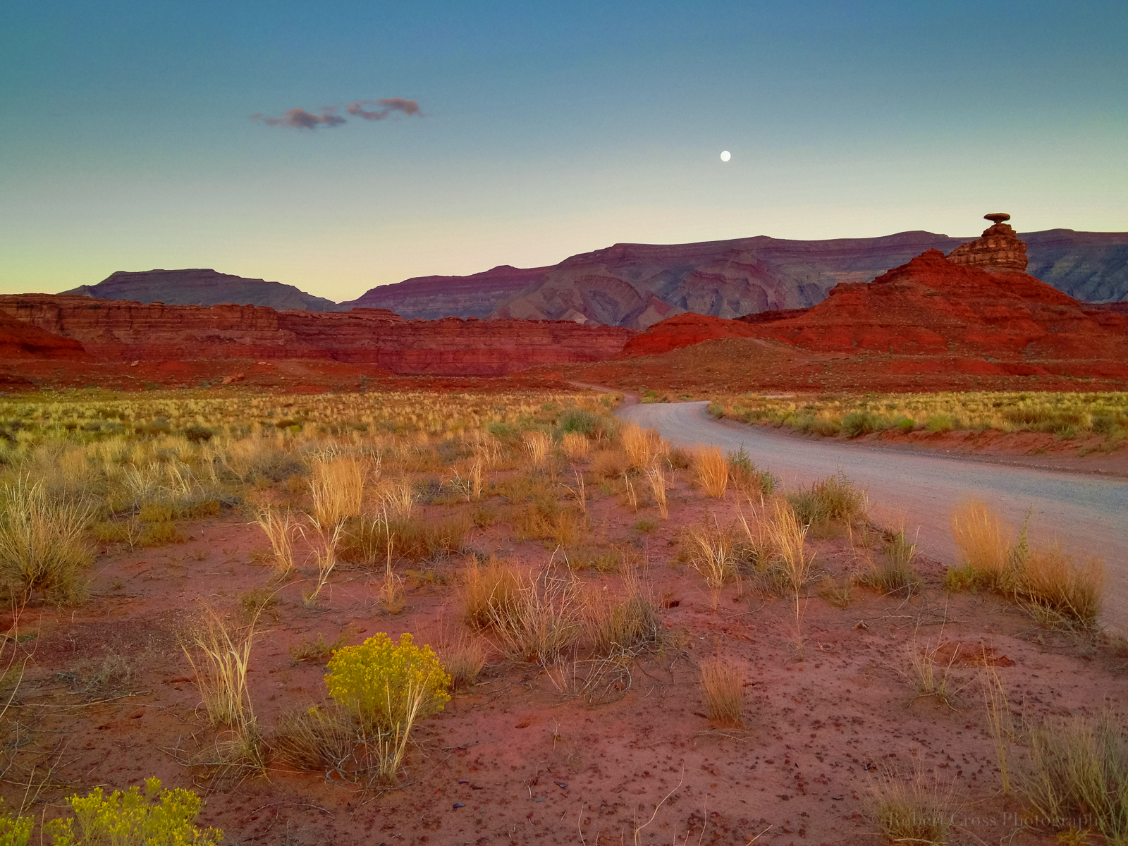
Mexican Hat
U.s. 163 Scenic
Forrest Gump Point
Moki Dugway
Moki Dugway
Colorado Plateau
Utah 261
Monument Pass
West And East Mitten Buttes
Monument Valley
Spearhead Mesa
Wildcat Trail
Monument Valley Navajo Tribal Park Visitor Center
The View Hotel
John Ford Point
Oljato-monument Valley
Oljato-Monument Valley, UT, USA
Goulding
Oljato-monument Valley
Goulding's Lodge | Monument Valley
Recent Searches:
- Elevation of Corso Fratelli Cairoli, 35, Macerata MC, Italy
- Elevation of Tallevast Rd, Sarasota, FL, USA
- Elevation of 4th St E, Sonoma, CA, USA
- Elevation of Black Hollow Rd, Pennsdale, PA, USA
- Elevation of Oakland Ave, Williamsport, PA, USA
- Elevation of Pedrógão Grande, Portugal
- Elevation of Klee Dr, Martinsburg, WV, USA
- Elevation of Via Roma, Pieranica CR, Italy
- Elevation of Tavkvetili Mountain, Georgia
- Elevation of Hartfords Bluff Cir, Mt Pleasant, SC, USA