Elevation of Mexican Hat, UT, USA
Location: United States > Utah > San Juan County >
Longitude: -109.86706
Latitude: 37.151946
Elevation: 1295m / 4249feet
Barometric Pressure: 87KPa
Elevation Map:
Satellite Map:
Related Photos:
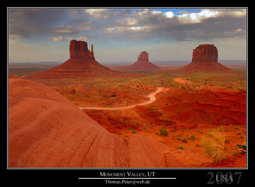
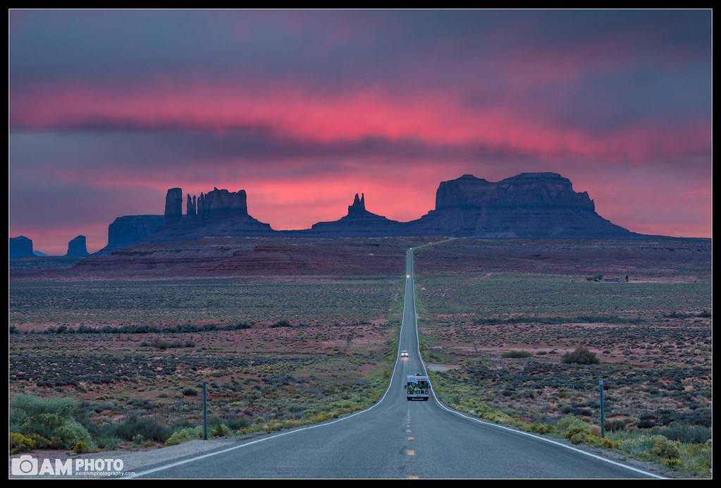
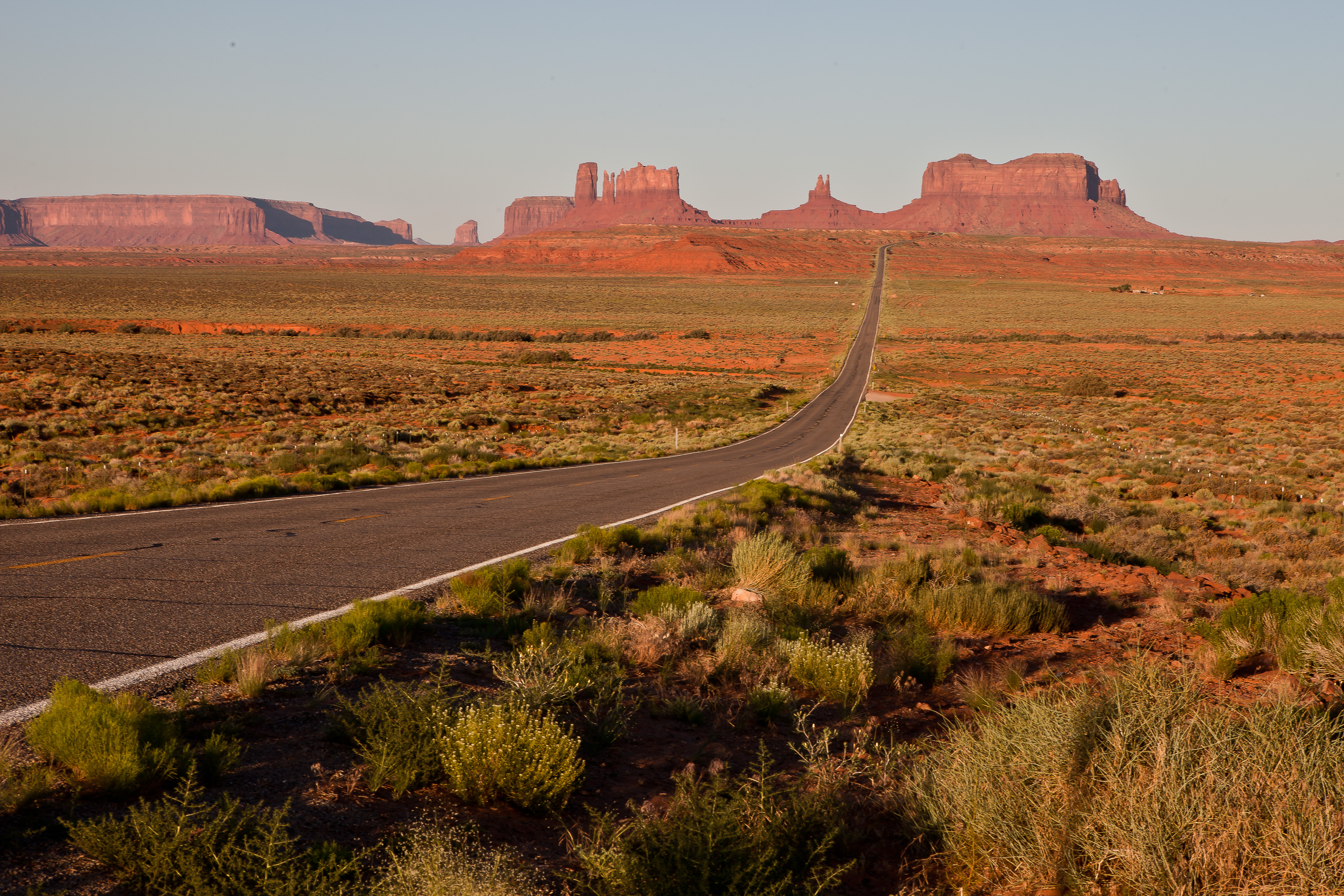
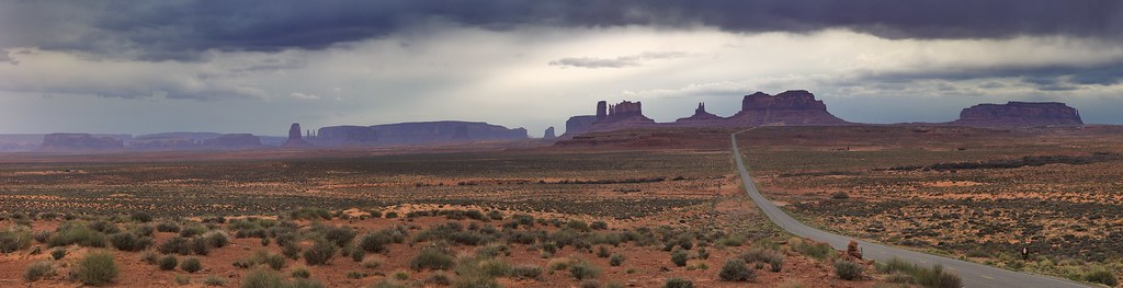
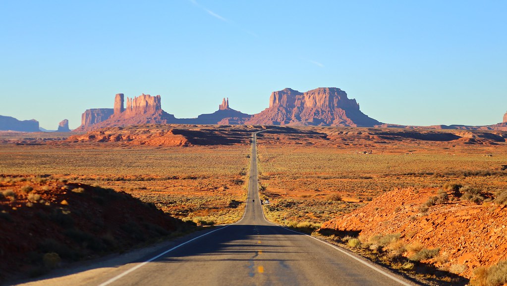
Monument Valley, UT

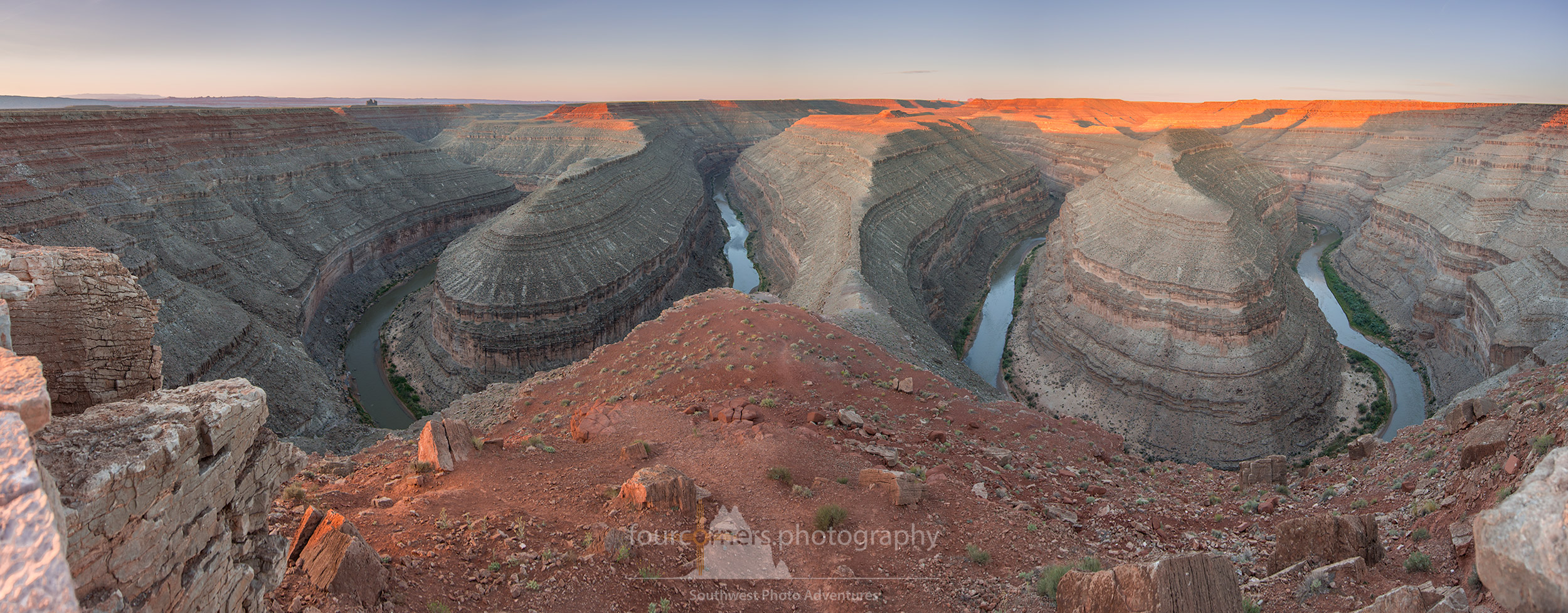
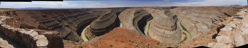
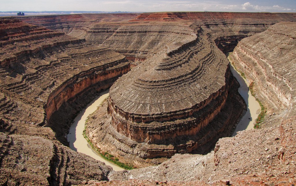
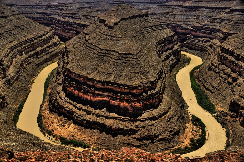
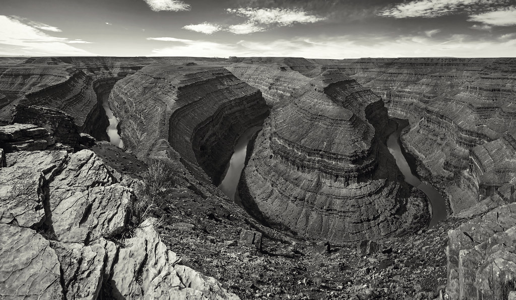
Panorama of Goosenecks of the San Juan River at Utah's Gooseneck State Park

One For The Road
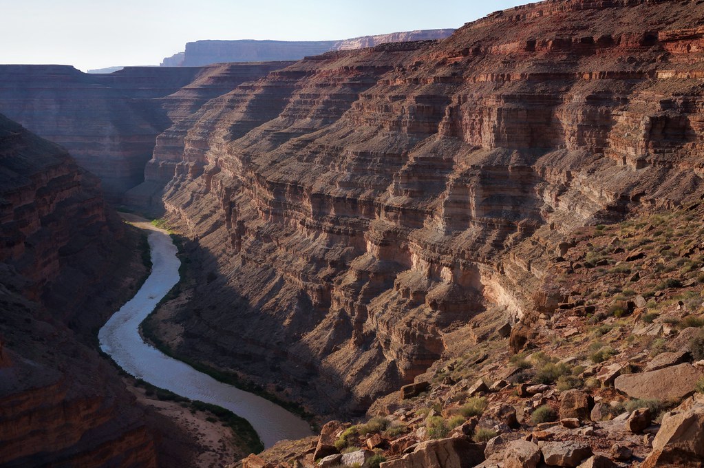
San Juan Goosenecks
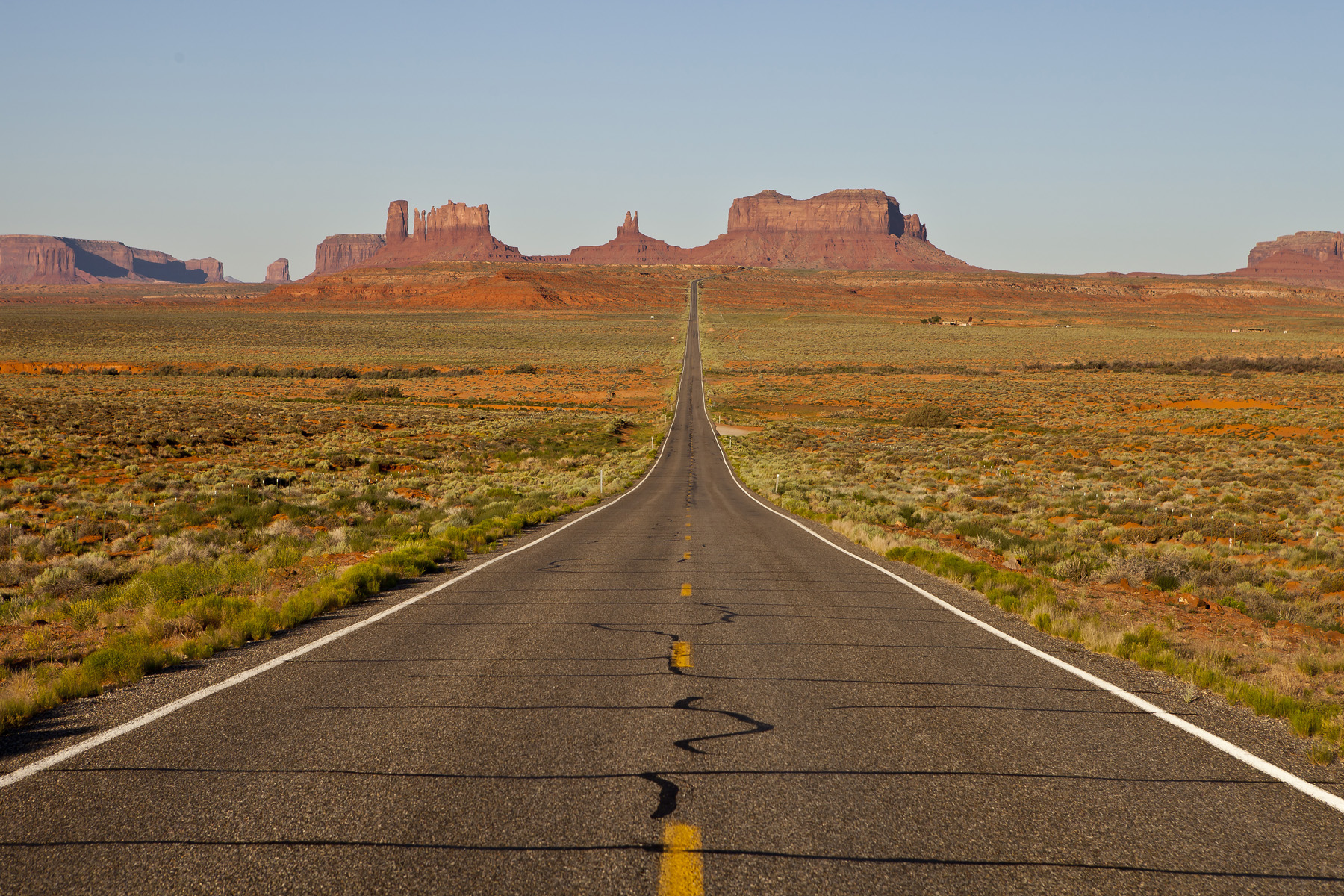
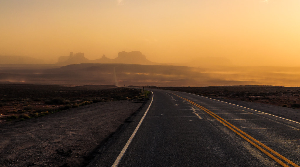
The Long Road
Gooseneck Canyon

US 163
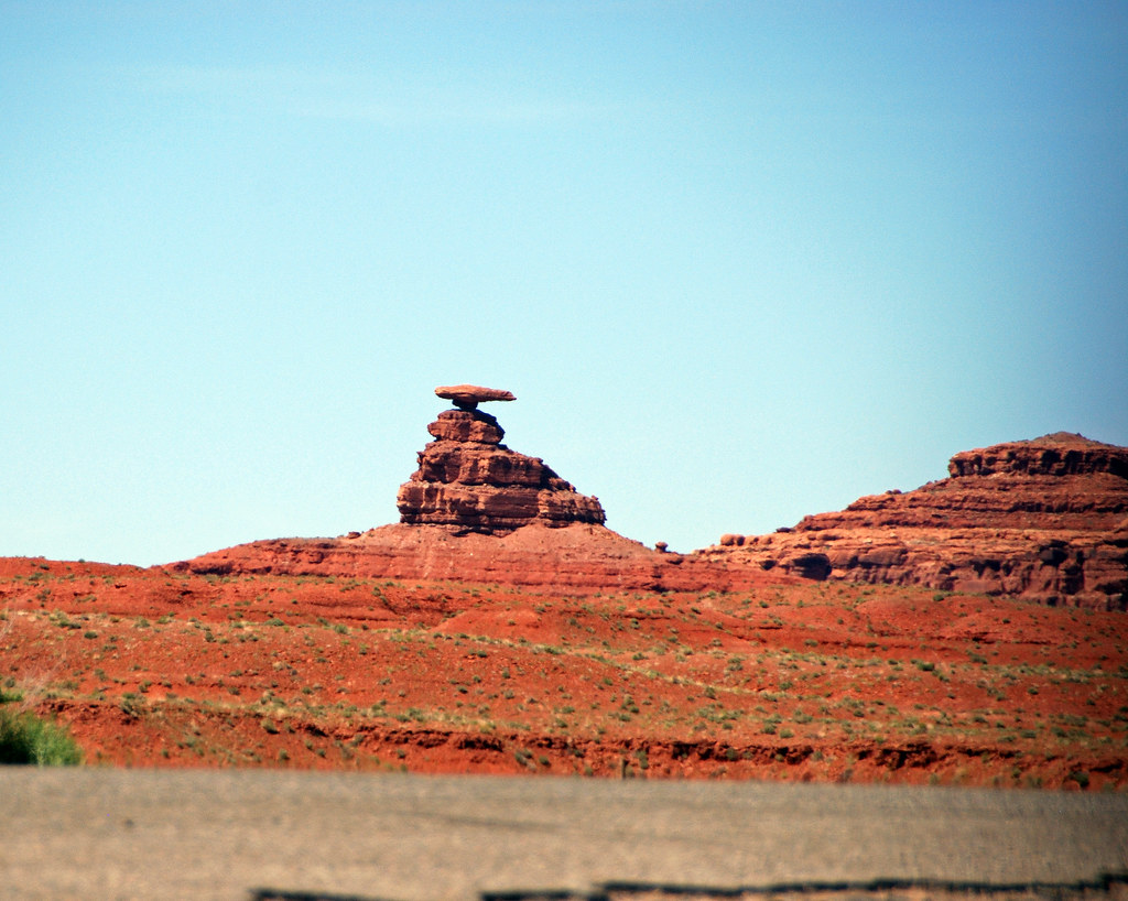
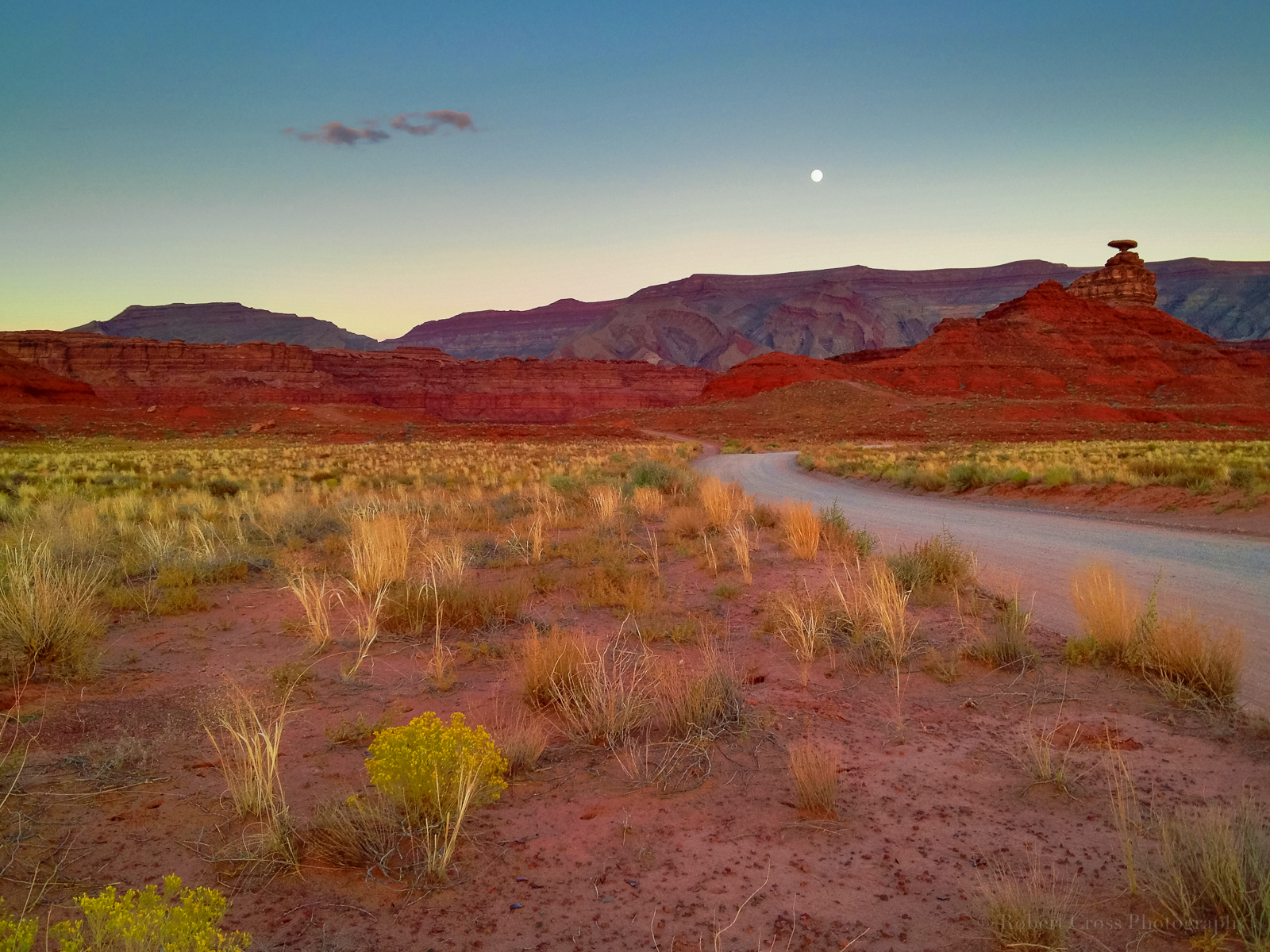
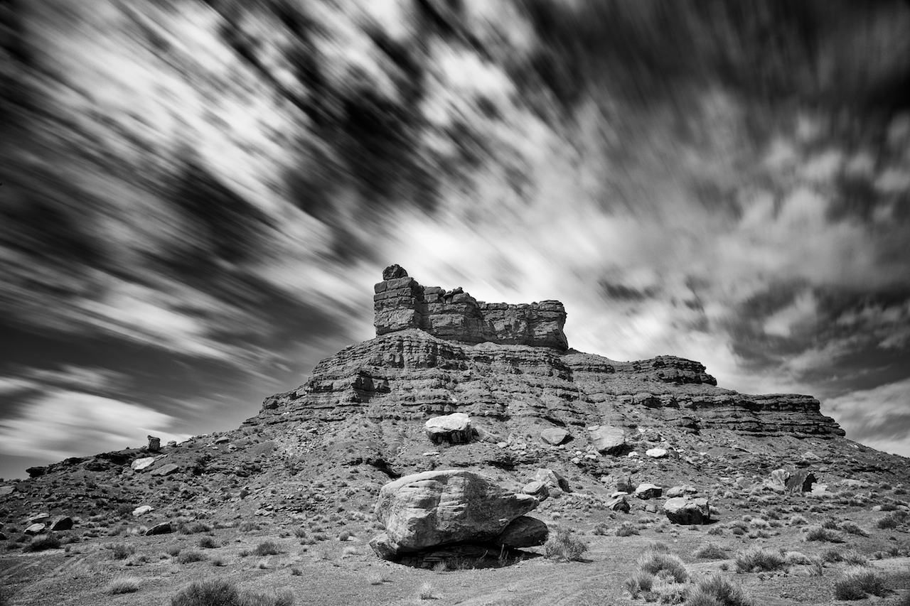
Mexican Hat rock, Mexican Hat, Utah
3 sizes of the goosenecks: Mondo
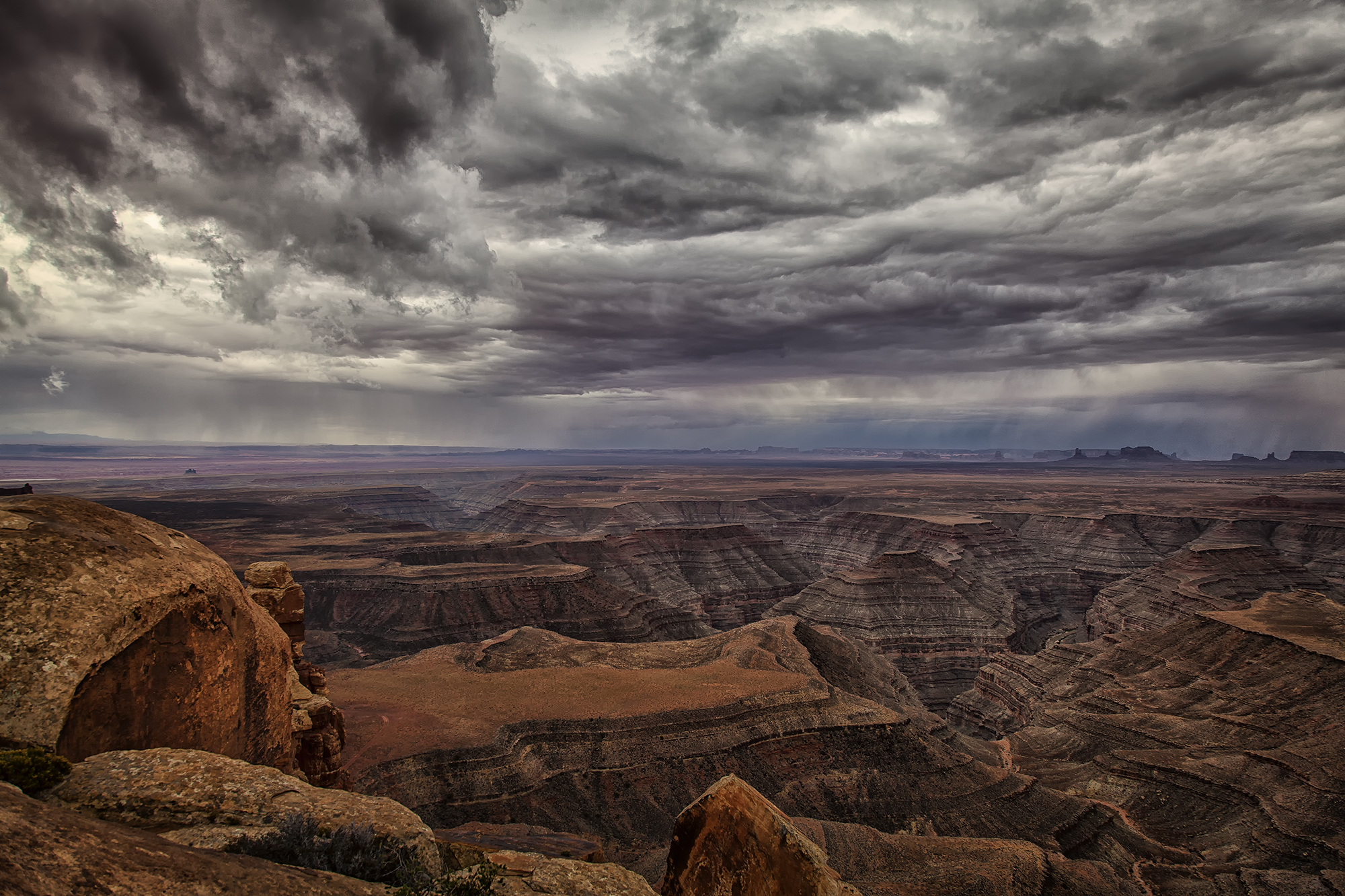
Thunderstorm over Monument Valley and The San Juan Goosenecks
The Way Down to Monument Vallley

Road to My Past
3 sizes of the goosenecks: Larger

Moki Dugway
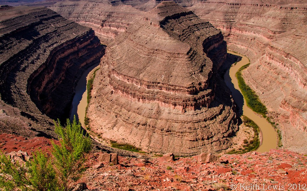
The Goosenecks, Utah
Pink Mile

Close to the edge
Monument Valley
2012-04-13 at 19-43-40 - Monument Valley - V3
Just Meandering through...
DSC_0113GPPfxCmcBk+RlIlln)2exHDRCompo - Goosenecks State Park - Utah - USA
Sandstorm in Momument Valley
'Goosenecks' ~ Goosenecks State Park, UT
Desert iPhoneography

looking for a road... :)

USA // Utah // Monument Valley (aka the "Forrest Gump Road")
Road to Monument Valley

The Moki Dugway

within moments - part 2
Thin sliced
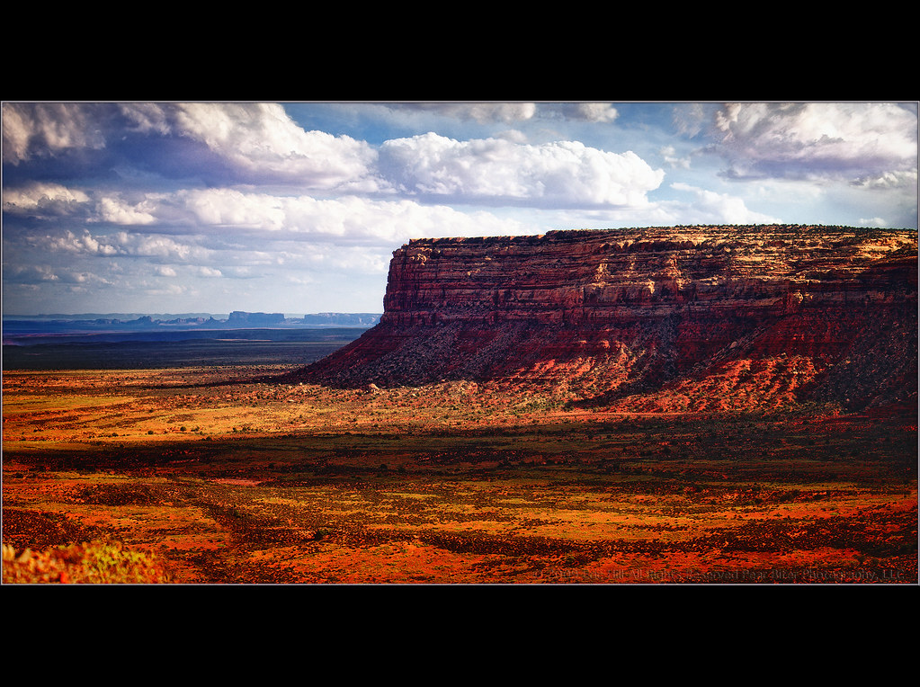
Echo Butte

The Goosenecks

Desert Solitude 28

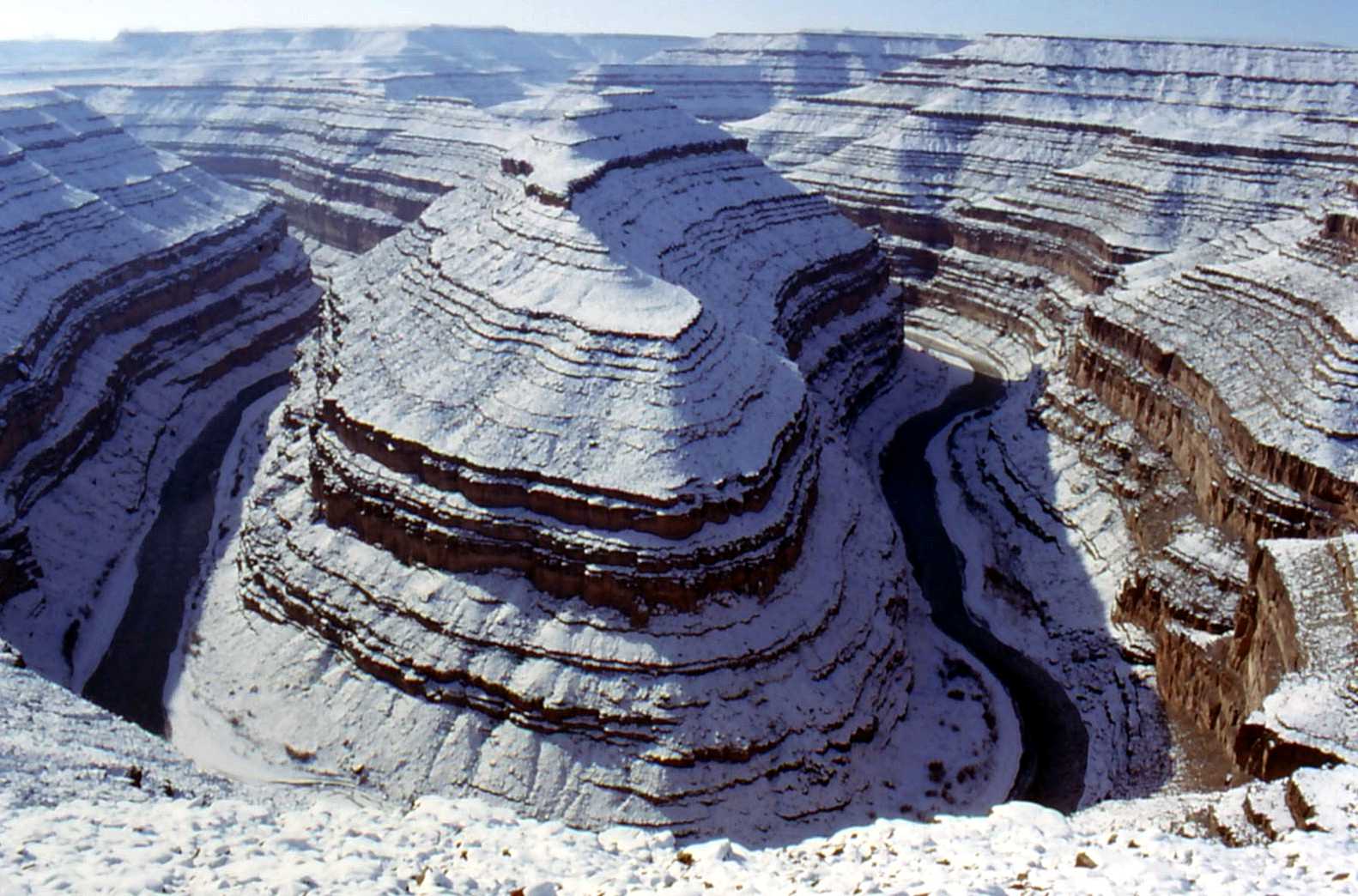
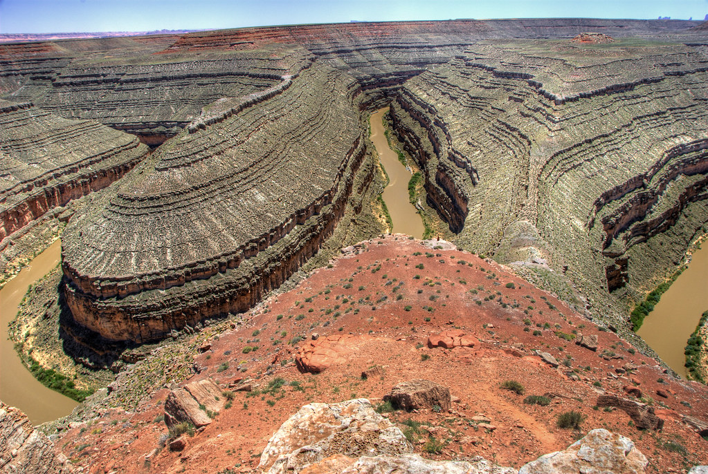
Gooseneck meander, Utah

U.S. Highway 163
wrinkly old Earth
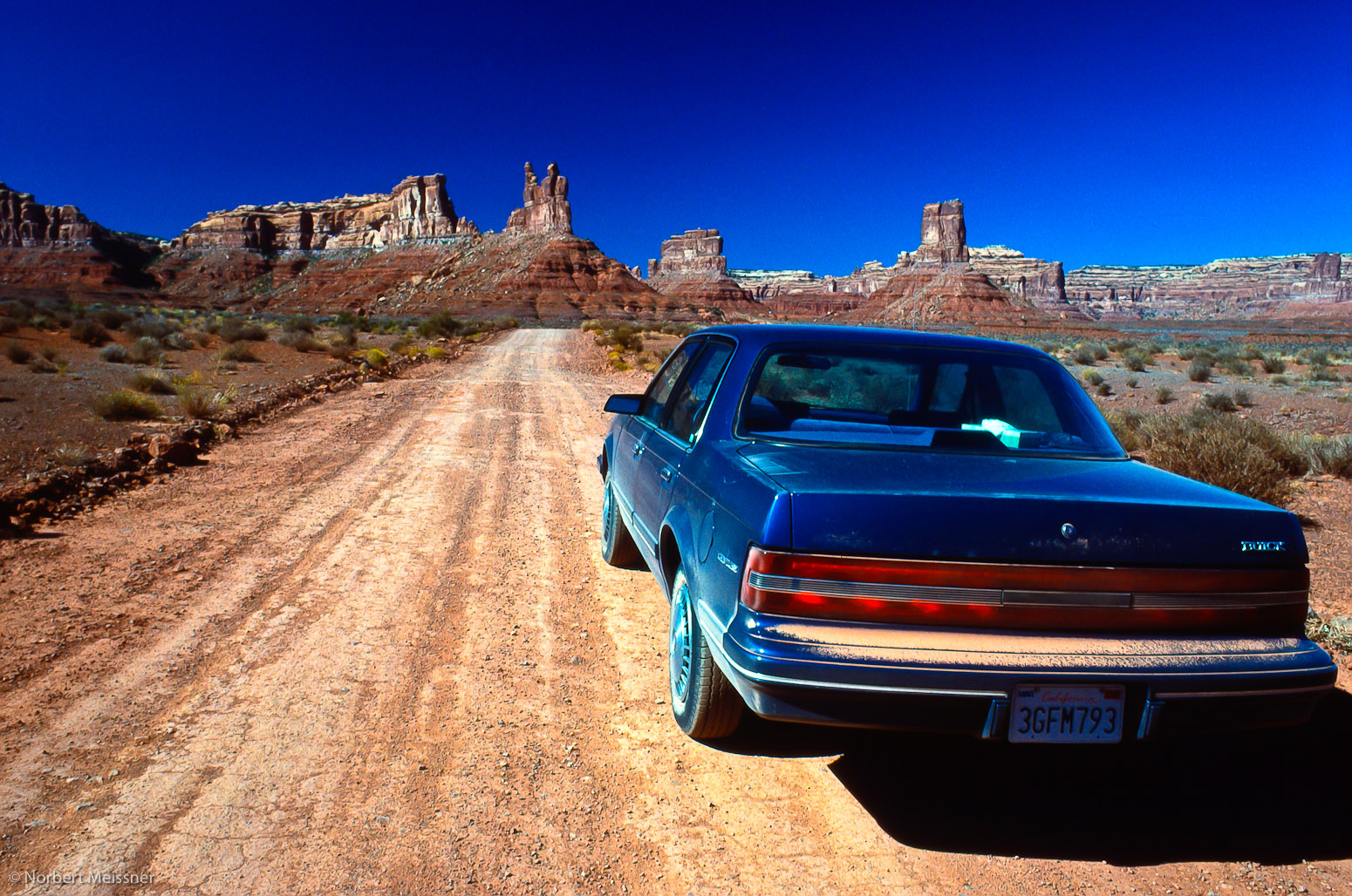
Buick Century @ Valley of the Gods, Utah
Goosenecks State Park...Utah
Topographic Map of Mexican Hat, UT, USA
Find elevation by address:

Places in Mexican Hat, UT, USA:
Places near Mexican Hat, UT, USA:
U.s. 163 Scenic
Goosenecks State Park
Forrest Gump Point
Moki Dugway
Moki Dugway
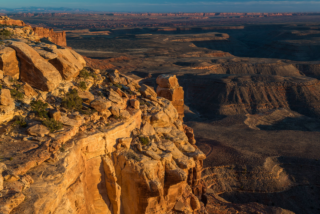
Colorado Plateau
Utah 261
Monument Pass
Spearhead Mesa
West And East Mitten Buttes
Monument Valley
John Ford Point
Wildcat Trail
Monument Valley Navajo Tribal Park Visitor Center
The View Hotel
San Juan County
Oljato-monument Valley
Oljato-monument Valley
Goulding
Goulding's Lodge | Monument Valley
Recent Searches:
- Elevation of Gateway Blvd SE, Canton, OH, USA
- Elevation of East W.T. Harris Boulevard, E W.T. Harris Blvd, Charlotte, NC, USA
- Elevation of West Sugar Creek, Charlotte, NC, USA
- Elevation of Wayland, NY, USA
- Elevation of Steadfast Ct, Daphne, AL, USA
- Elevation of Lagasgasan, X+CQH, Tiaong, Quezon, Philippines
- Elevation of Rojo Ct, Atascadero, CA, USA
- Elevation of Flagstaff Drive, Flagstaff Dr, North Carolina, USA
- Elevation of Avery Ln, Lakeland, FL, USA
- Elevation of Woolwine, VA, USA