Elevation of Forrest Gump Point, US- Scenic, Mexican Hat, UT, USA
Location: United States > Utah > San Juan County > Mexican Hat >
Longitude: -109.99081
Latitude: 37.1014959
Elevation: -10000m / -32808feet
Barometric Pressure: 295KPa
Elevation Map:
Satellite Map:
Related Photos:
Monument Night Sky

Panorama of Goosenecks of the San Juan River at Utah's Gooseneck State Park

Monument Valley view
Misty Monuments

San Juan Goosenecks

Classic View

Monument Valley

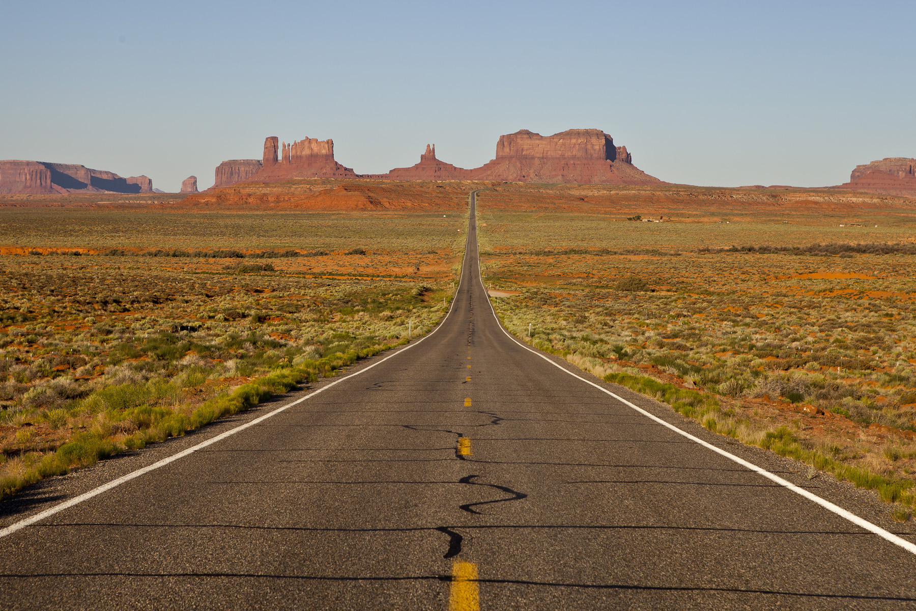
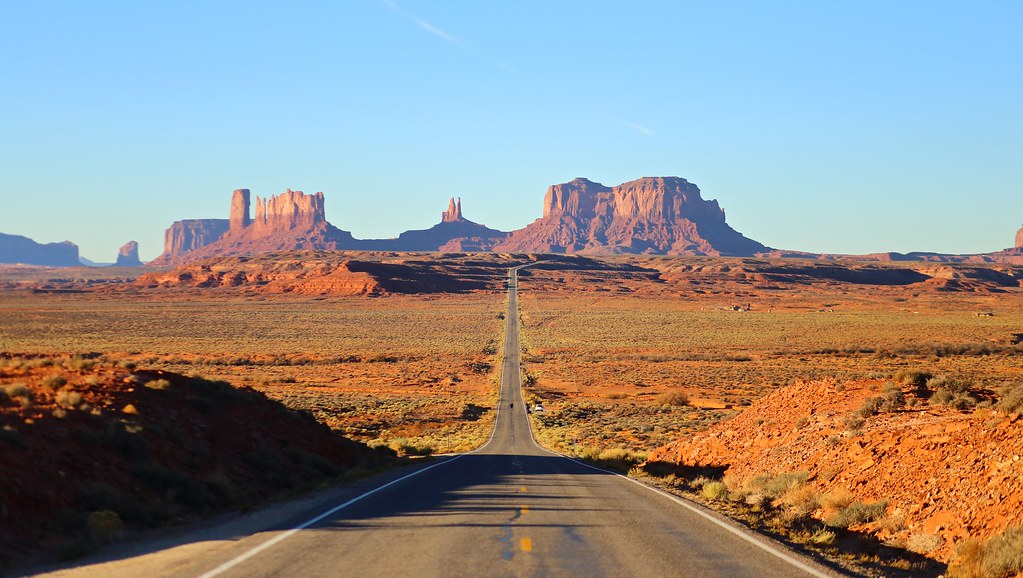
13 Miles
Winter Wonderland

Monument Valley
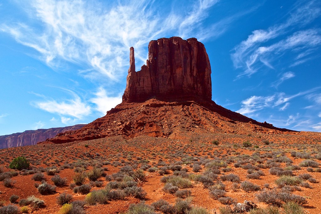
West Mitten Butte close view, Monument Valley, Arizona

West Mitten Butte

Sentinel Mesa view across the border from Arizona, Monument Valley
The Long Road

*Muley Point @ pulling thunderstorm over Goosenecks State Park*

Gooseneck of the San Juan River at Utah's Gooseneck State Park

Gooseneck Canyon

Mexican Hat Sunset

Forrest Gump point bokeh

US 163

Mexican Hat rock, Mexican Hat, Utah

USA // Utah // Goosenecks State Reserve (HDR)

U.S. Highway 163

AU PAYS NAVAJO - MONUMENT VALLEY Arizona
Monument Valley

U2014-5-ZM-123

The Monument Road

Picturesque crooked pine tree, Monument Valley, USA

Among Giants

One For The Road

USA // Utah // Monument Valley (aka the "Forrest Gump Road")

Goosenecks carvings
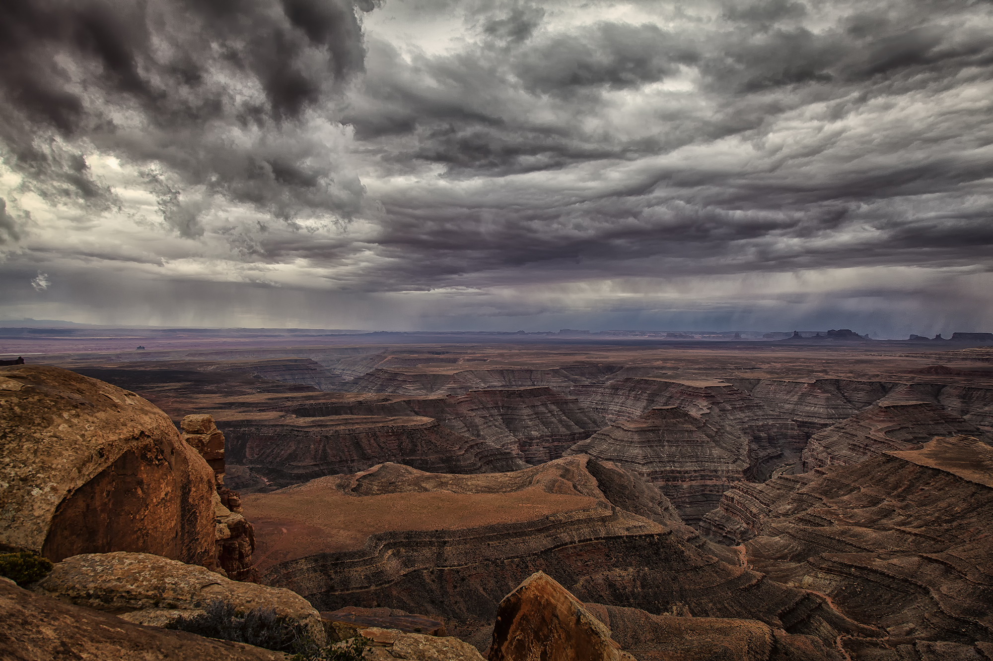
Thunderstorm over Monument Valley and The San Juan Goosenecks

Goosenecks State Park...Utah

Wildcat Trail, Monument Valley, USA
Road to Monument Valley

Desert iPhoneography

Eagle Mesa

a postcard from the west

San Juan River
Topographic Map of Forrest Gump Point, US- Scenic, Mexican Hat, UT, USA
Find elevation by address:

Places near Forrest Gump Point, US- Scenic, Mexican Hat, UT, USA:
Goosenecks State Park
Colorado Plateau
Monument Pass
Mexican Hat
West And East Mitten Buttes
Monument Valley
U.s. 163 Scenic
Spearhead Mesa
Wildcat Trail
Monument Valley Navajo Tribal Park Visitor Center
The View Hotel
John Ford Point
Moki Dugway
Moki Dugway
Oljato-monument Valley
Oljato-monument Valley
Goulding
Goulding's Lodge | Monument Valley
1000 Gouldings Trading Post Rd
Goulding's Campground
Recent Searches:
- Elevation of Holloway Ave, San Francisco, CA, USA
- Elevation of Norfolk, NY, USA
- Elevation of - San Marcos Pass Rd, Santa Barbara, CA, USA
- Elevation of th Pl SE, Issaquah, WA, USA
- Elevation of 82- D Rd, Captain Cook, HI, USA
- Elevation of Harlow CM20 2PR, UK
- Elevation of Shenyang Agricultural University, Dong Ling Lu, Shen He Qu, Shen Yang Shi, Liao Ning Sheng, China
- Elevation of Alpha Dr, Melbourne, FL, USA
- Elevation of Hiroshima University, 1-chōme-3-2 Kagamiyama, Higashihiroshima, Hiroshima -, Japan
- Elevation of Bernina Dr, Lake Arrowhead, CA, USA