Elevation map of San Juan County, UT, USA
Location: United States > Utah >
Longitude: -109.75916
Latitude: 37.4634157
Elevation: 1780m / 5840feet
Barometric Pressure: 82KPa
Elevation Map:
Satellite Map:
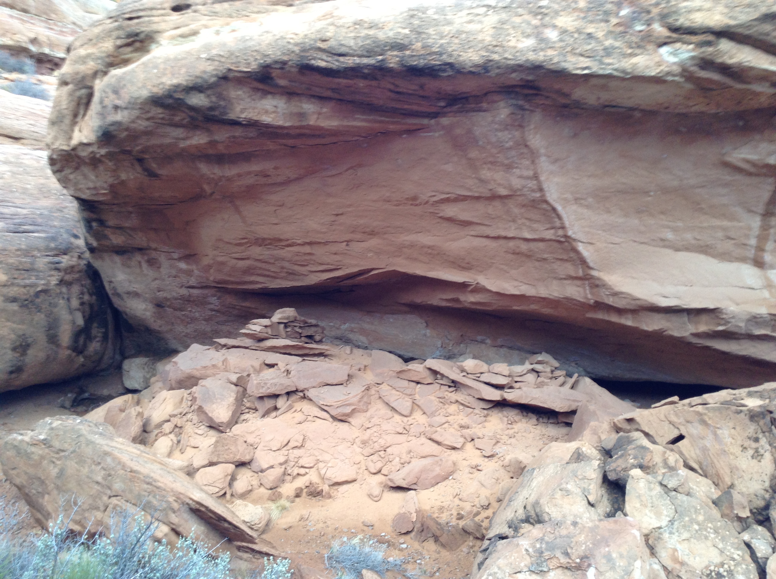
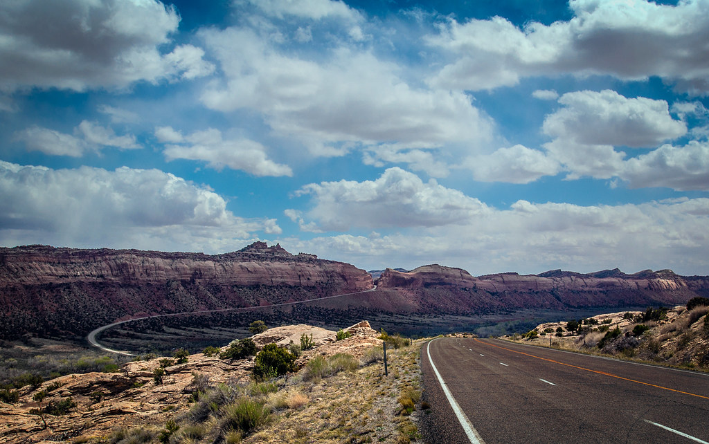
Related Photos:

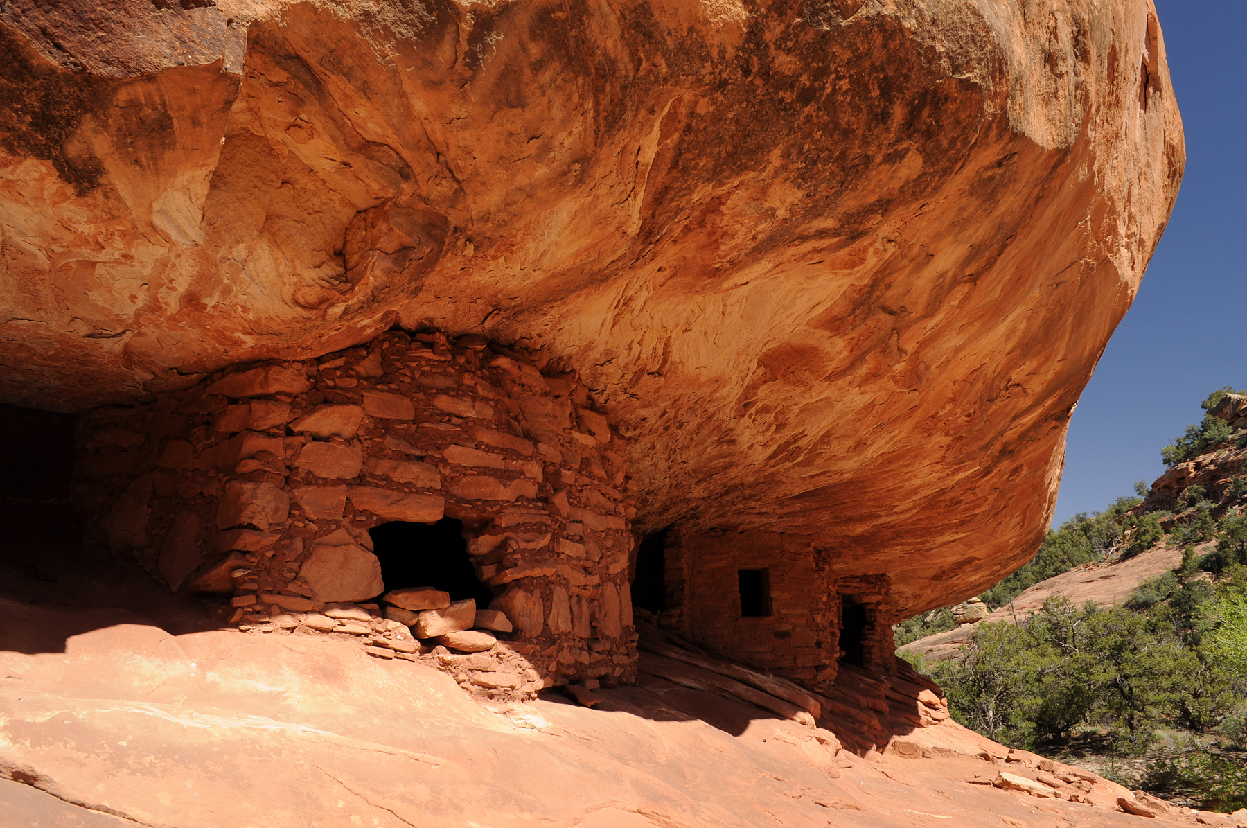
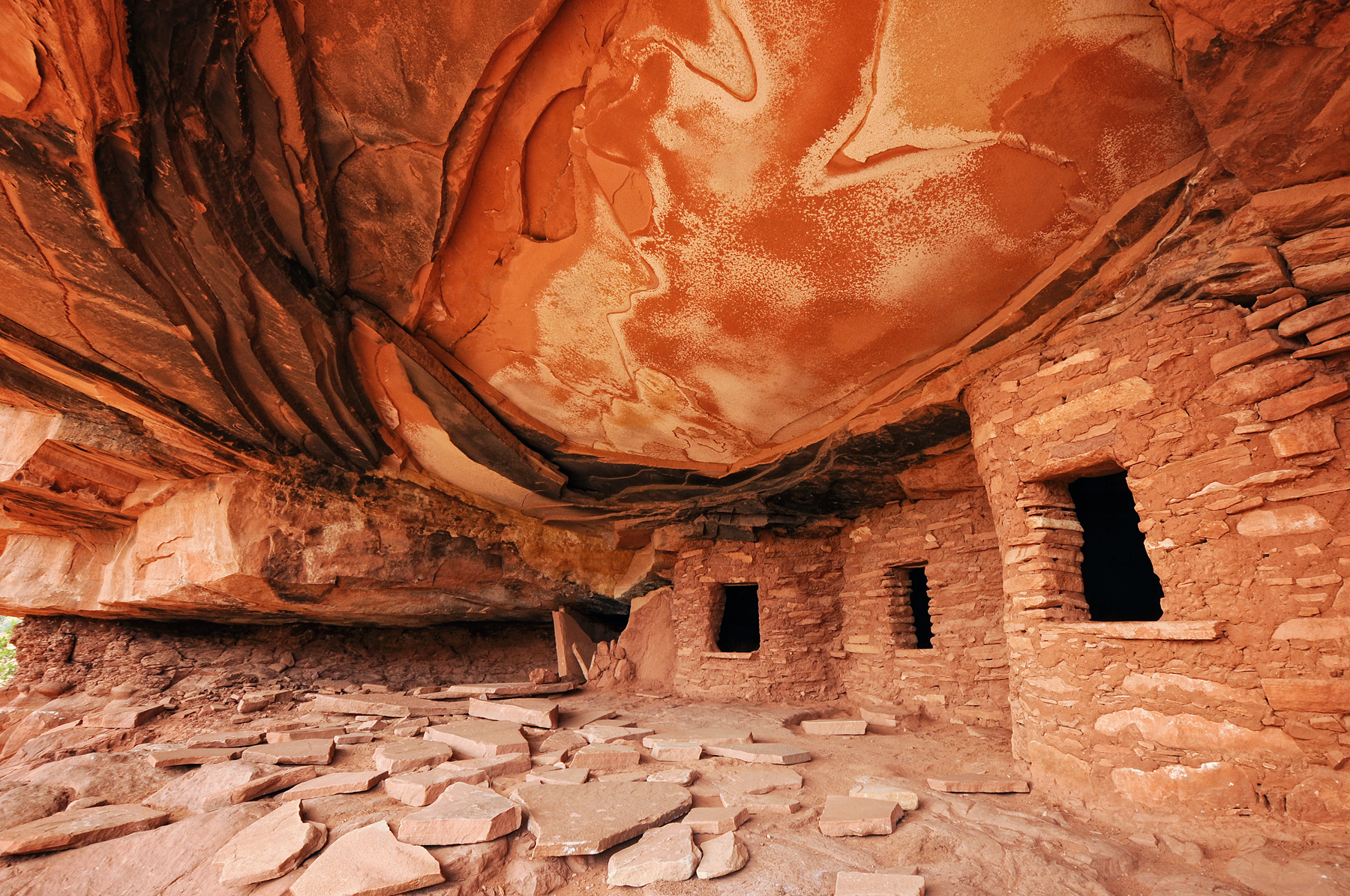
" House on Fire " ruin....another view
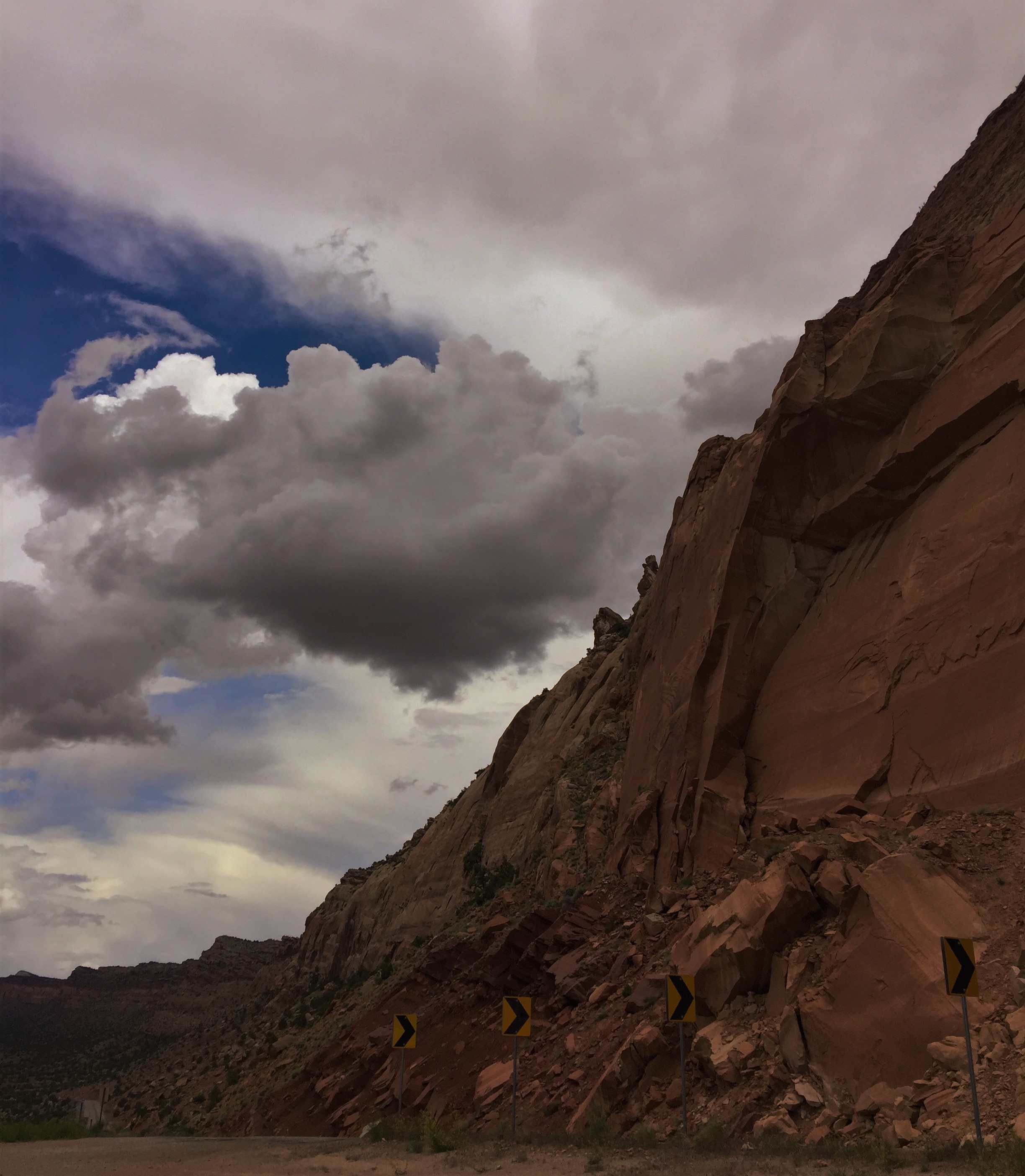
Trouble Around the Corner
hazy view of the wall
Near Natural Bridges National Moument, Utah
Near Natural Bridges National Moument, Utah
Natural Bridges National Moument, Utah
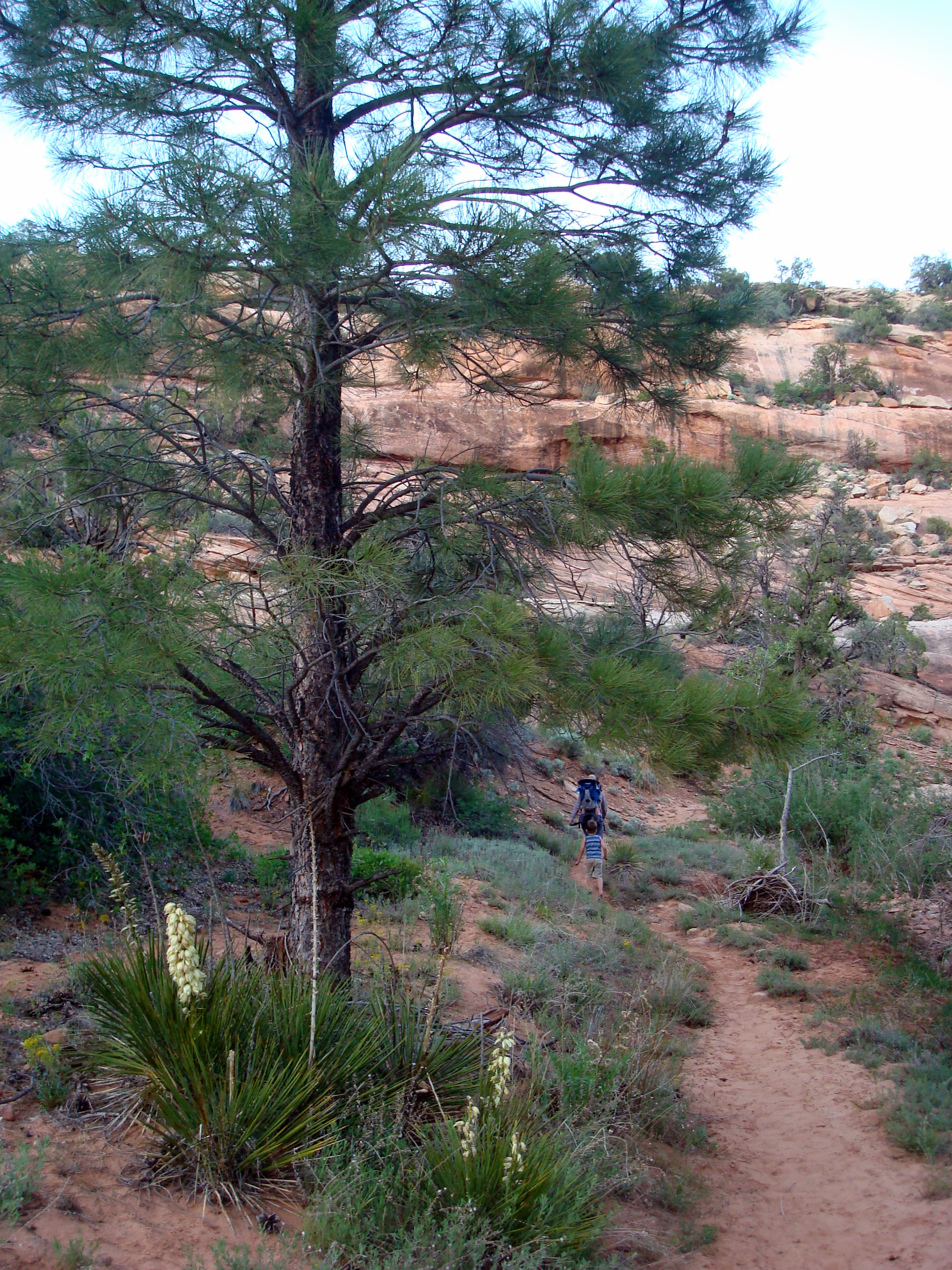
trying to catch up, next to a yucca
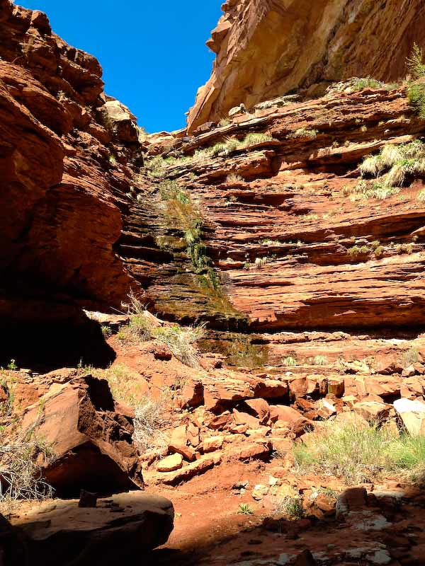
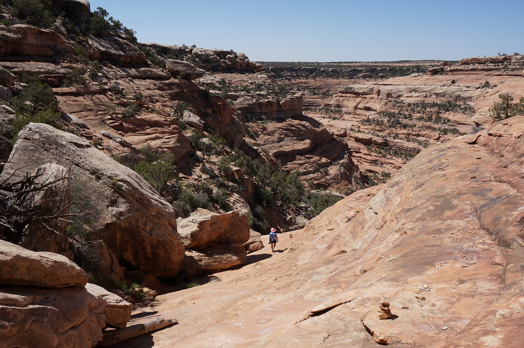
Arch Canyon View
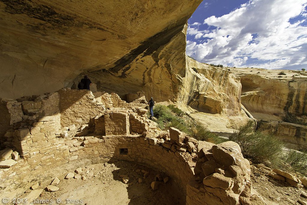
high ruin view
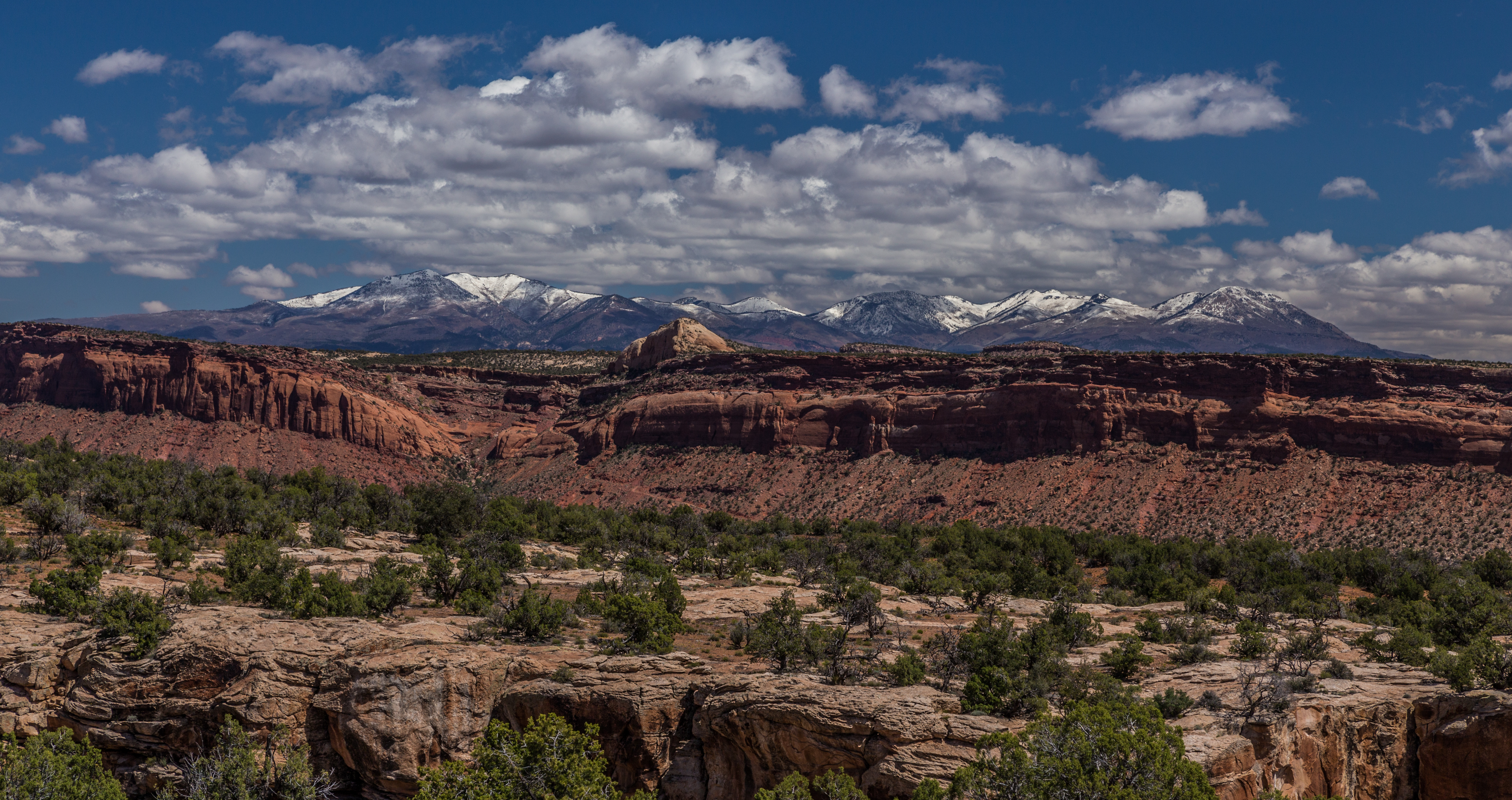
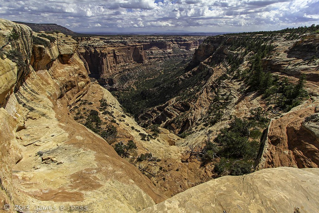
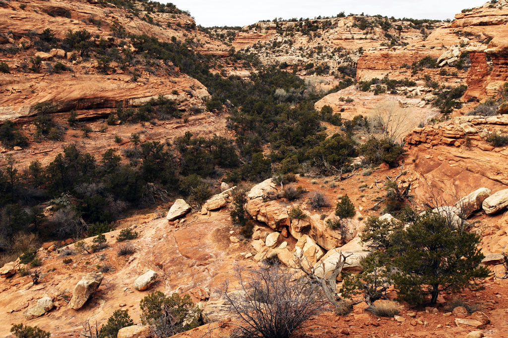
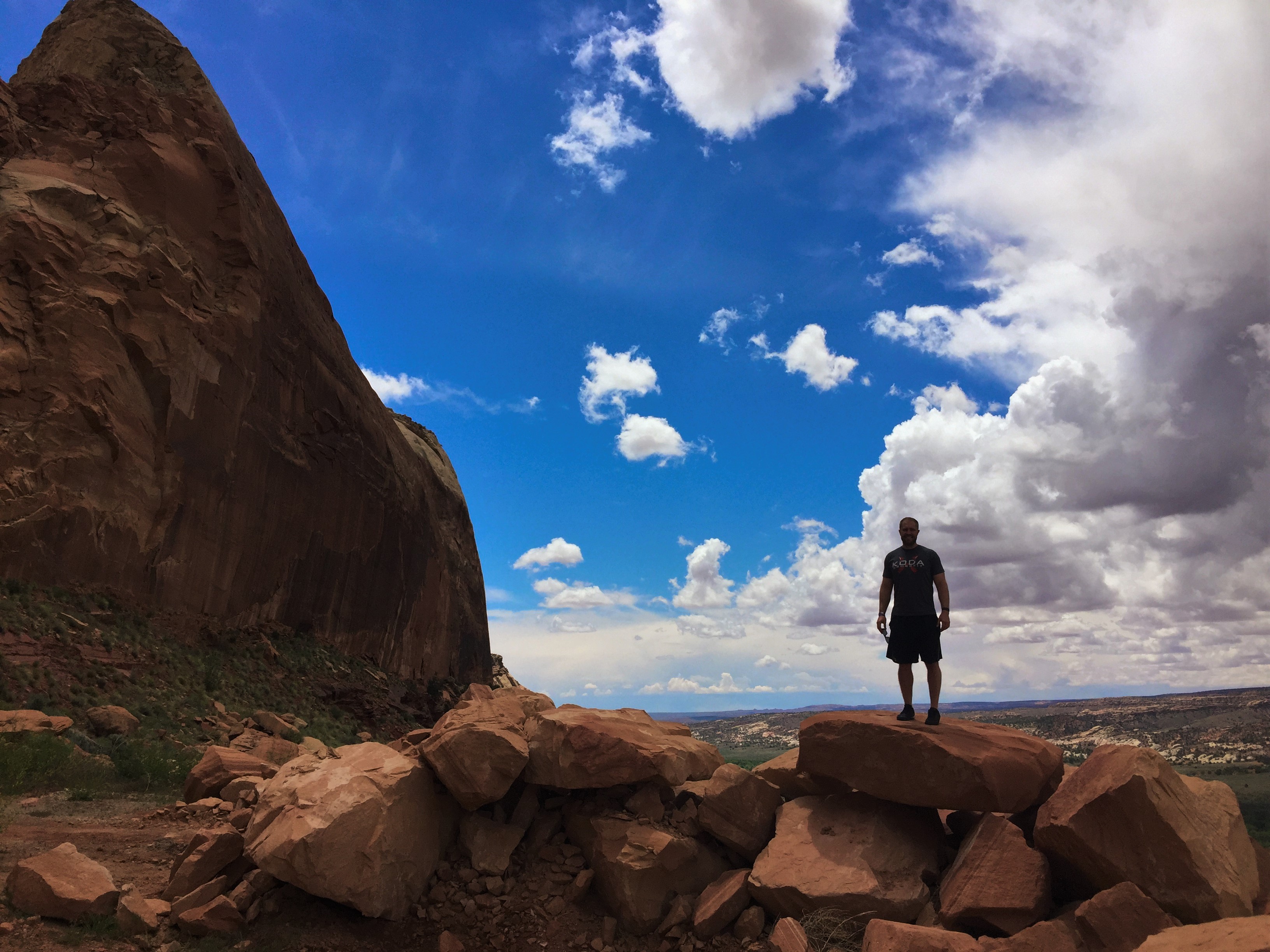
Grand View
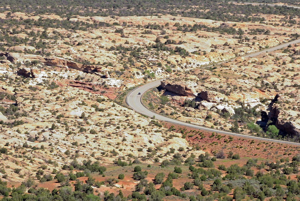
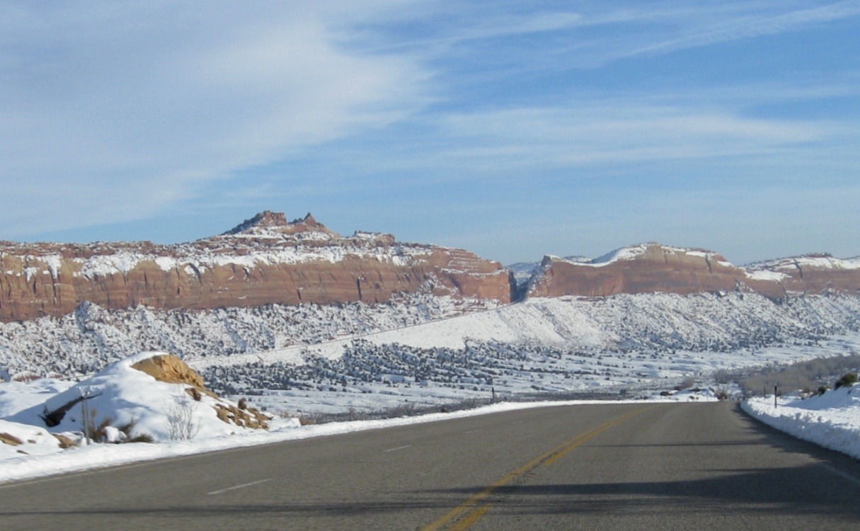
The road to Natural Bridges National Monument
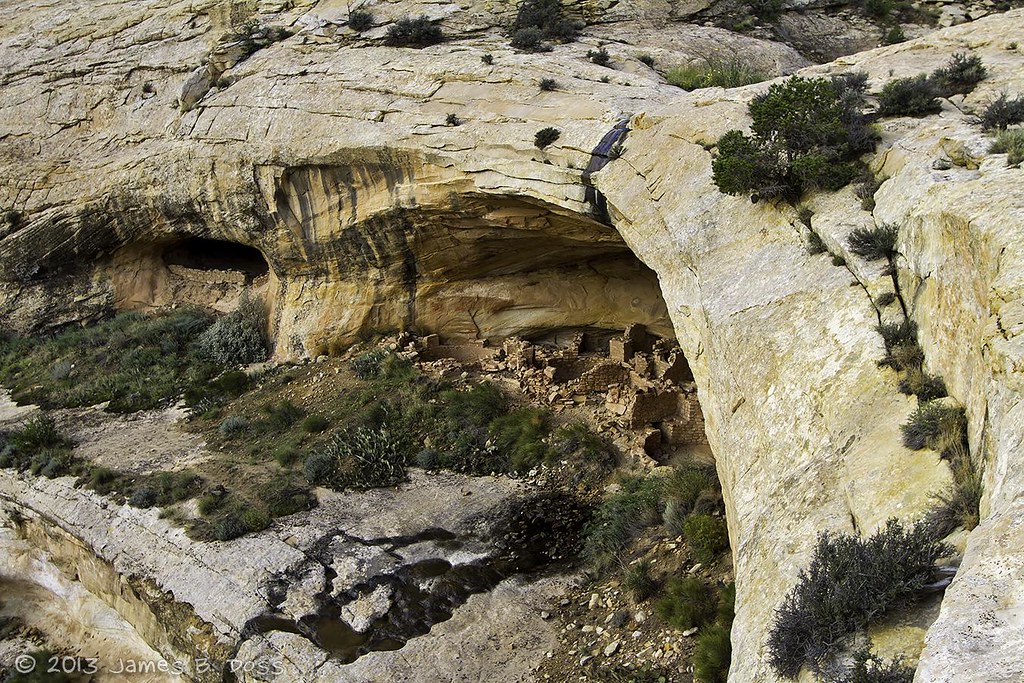
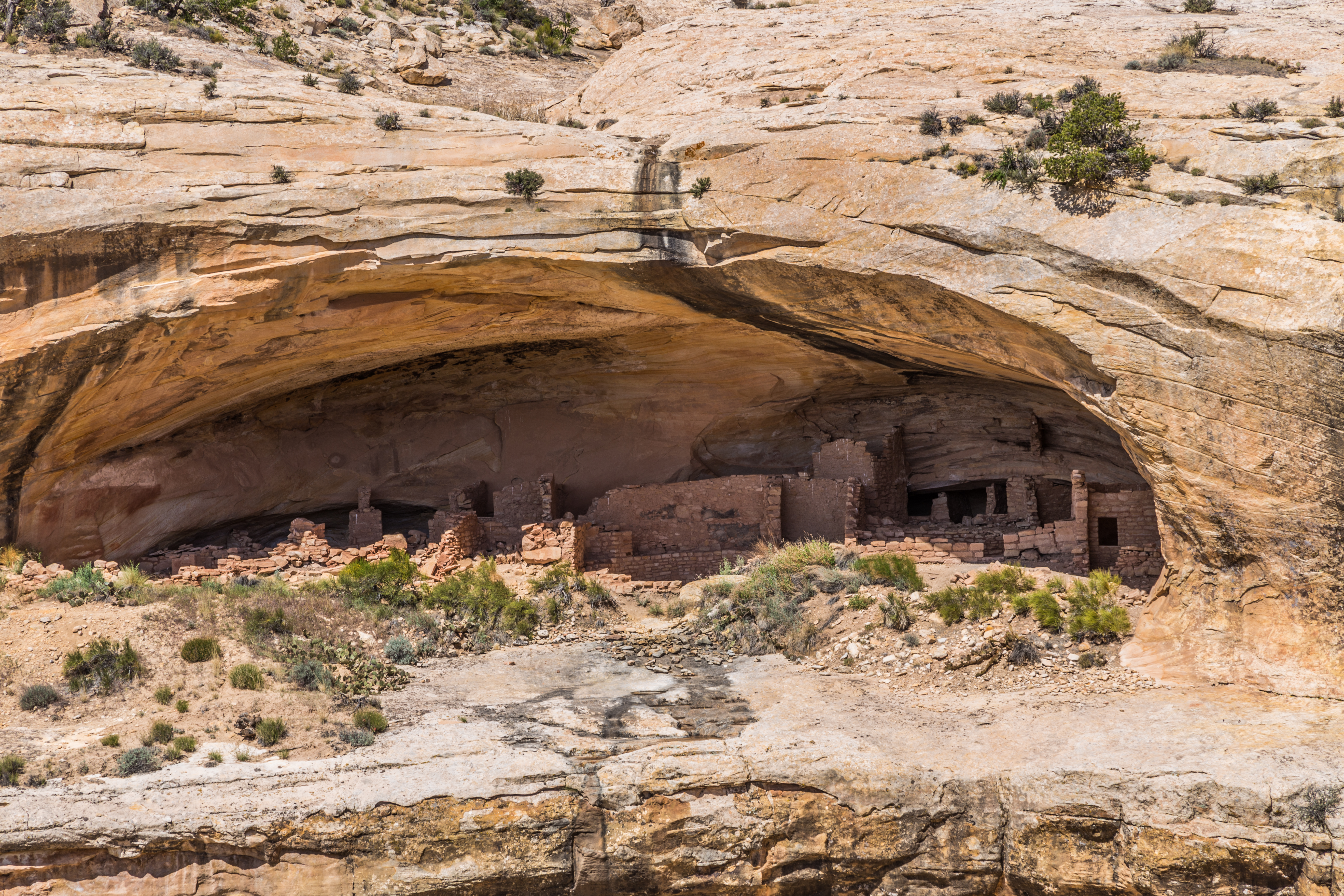
Mule Canyon Ruins

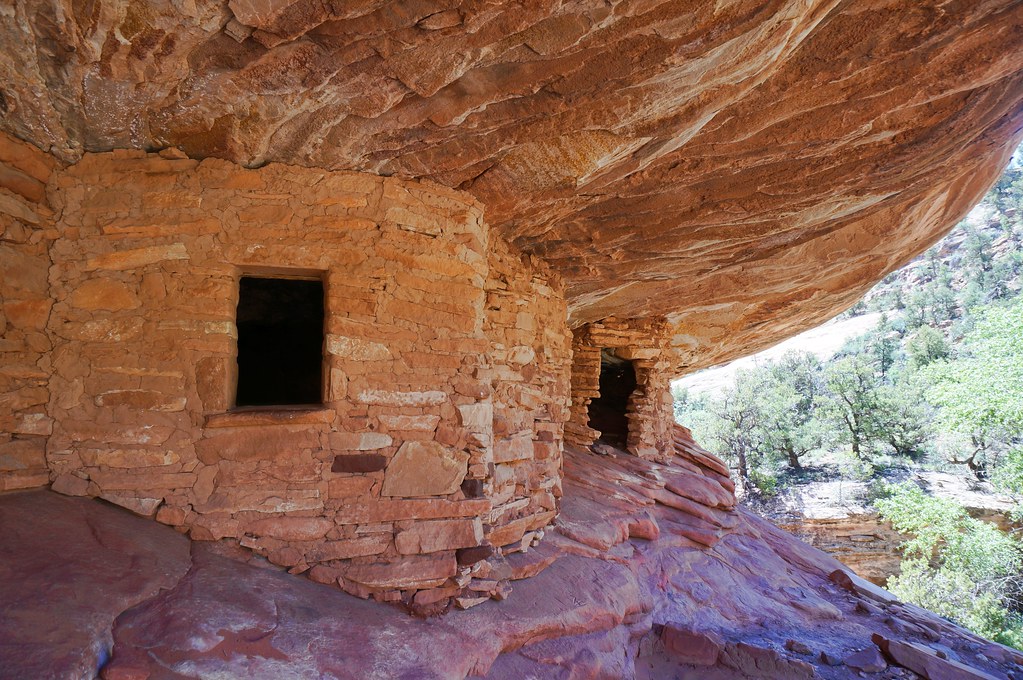
House on Fire

House On Fire 10-24-14
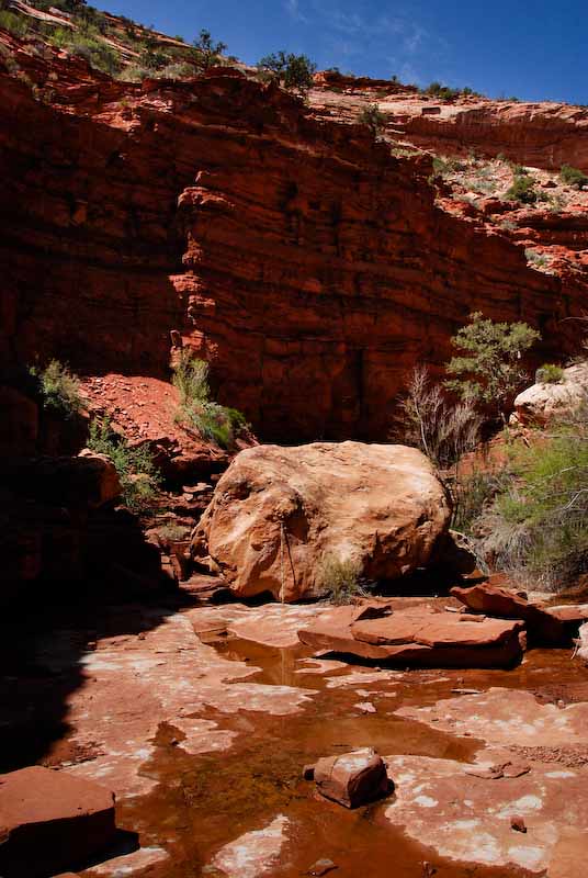
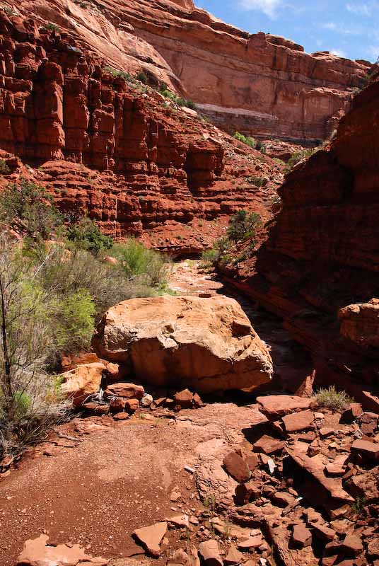
Boulder (upstream view)
Stopped by this pour-off
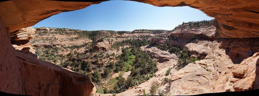
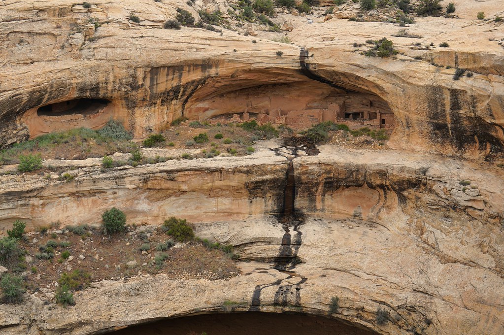
The View from Fallen Roof
Boulder (downstream view)
UT 95 1725a
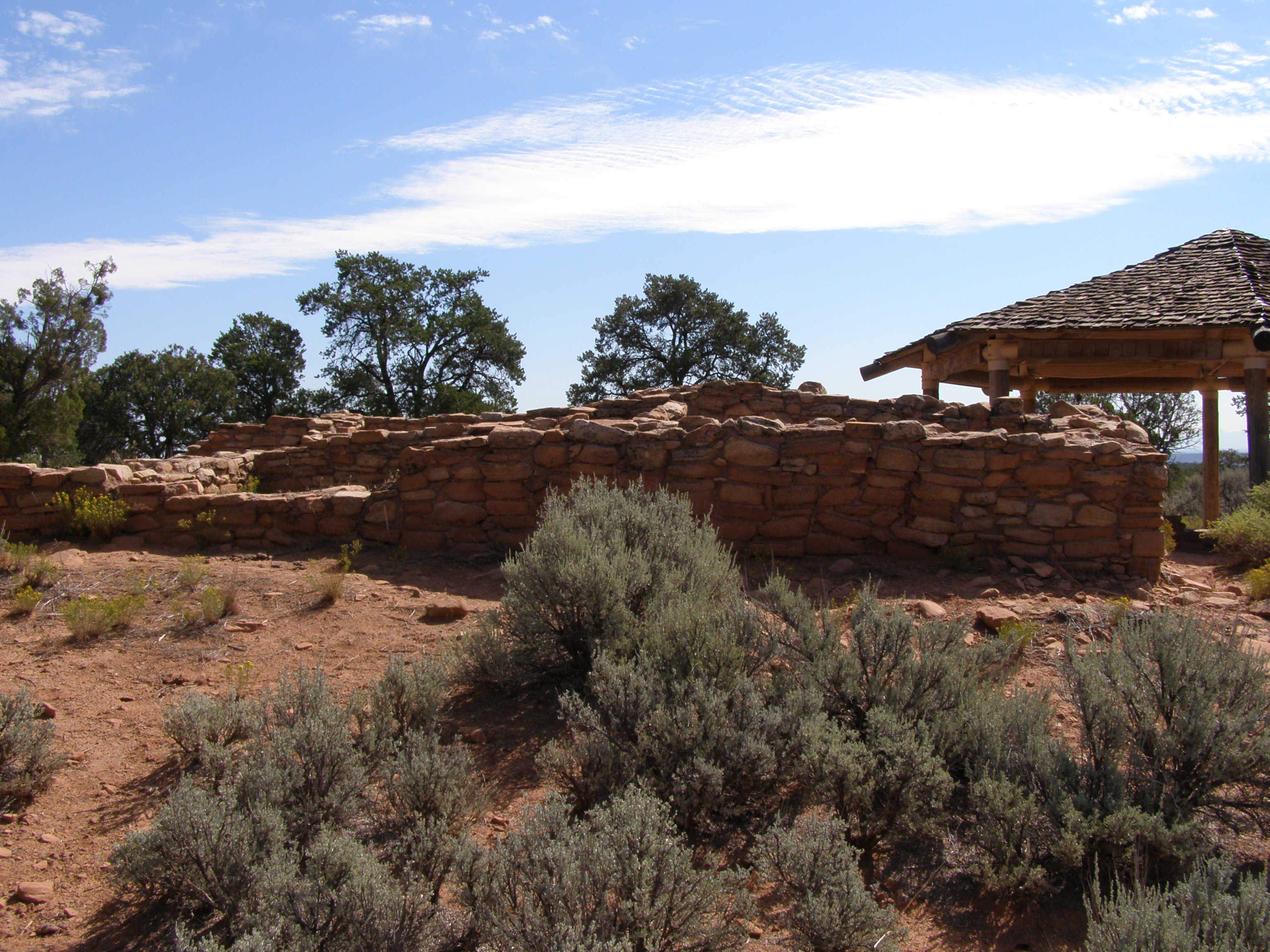
Mule Canyon Ruin, UT
cedarmesa 242
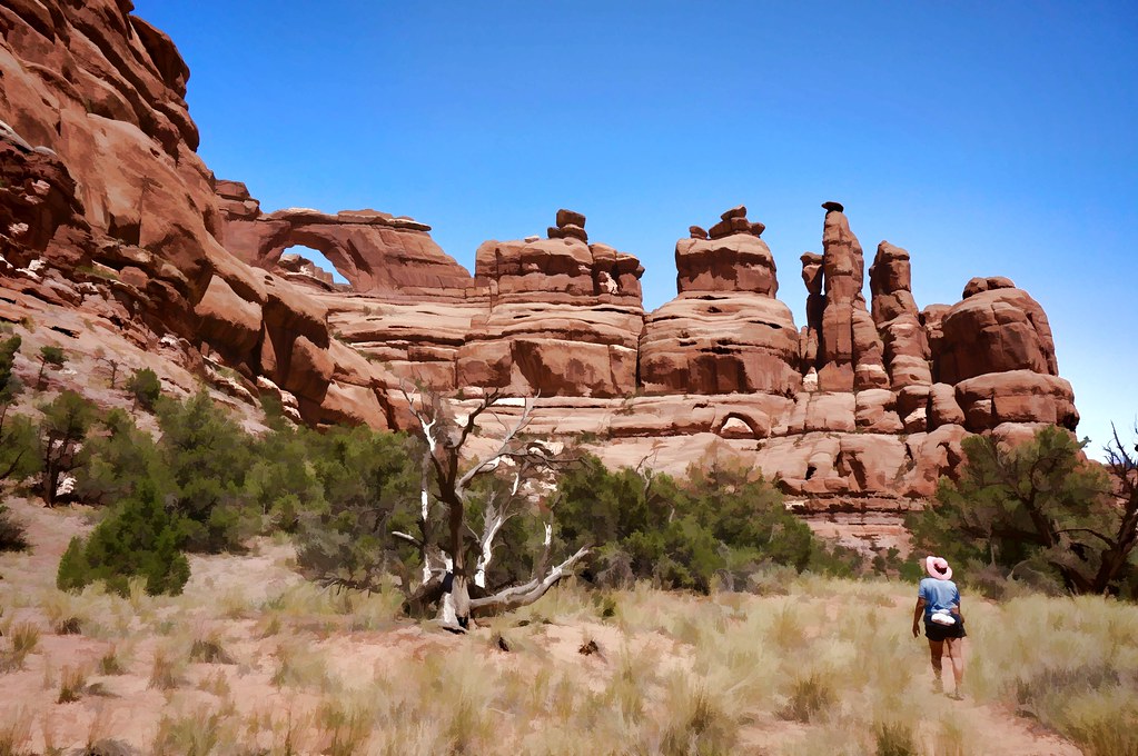
On the way to Arches Nationalpark
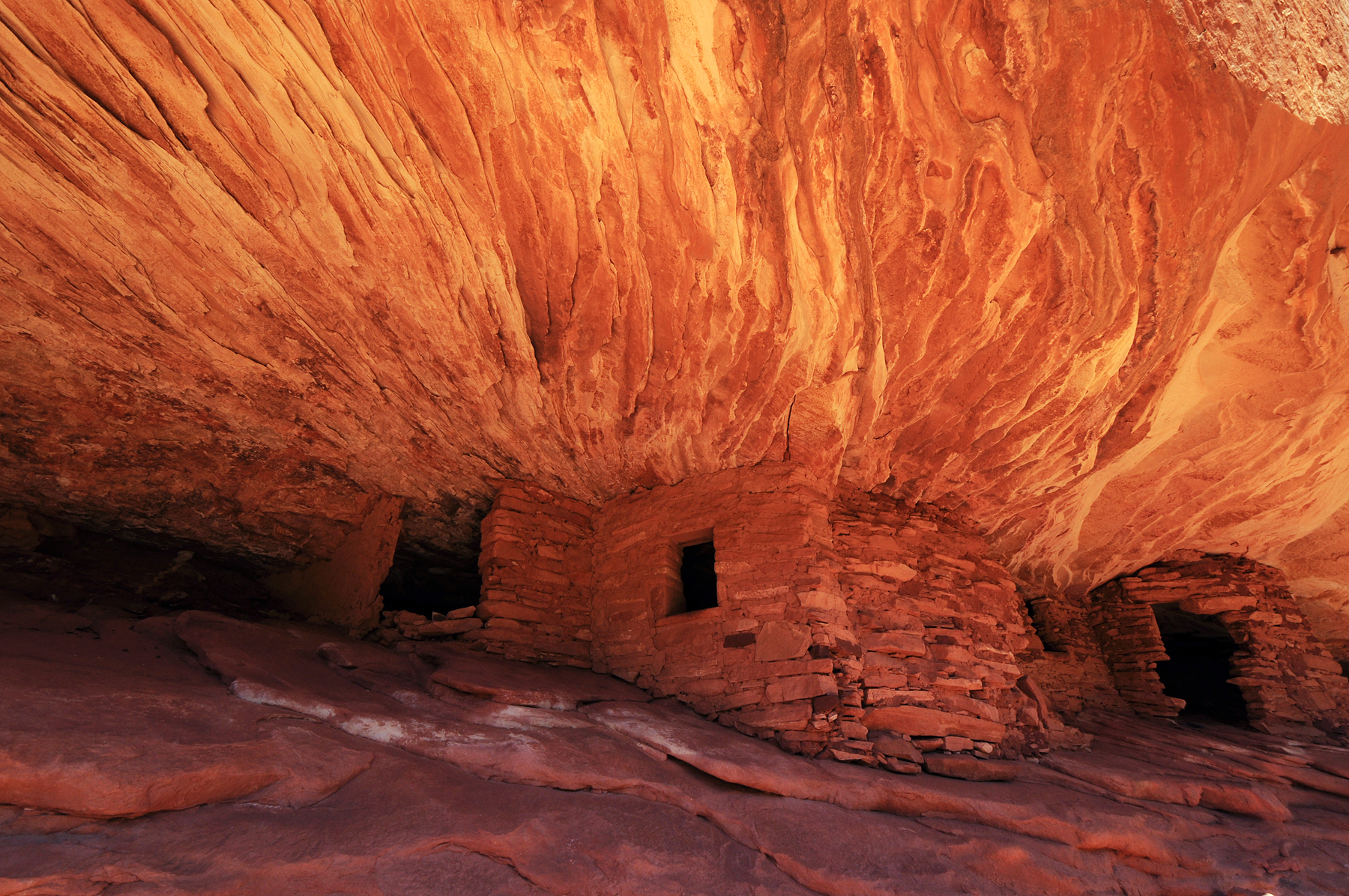
House on Fire
Headed to the Private Sector
Fallen Roof Ruin
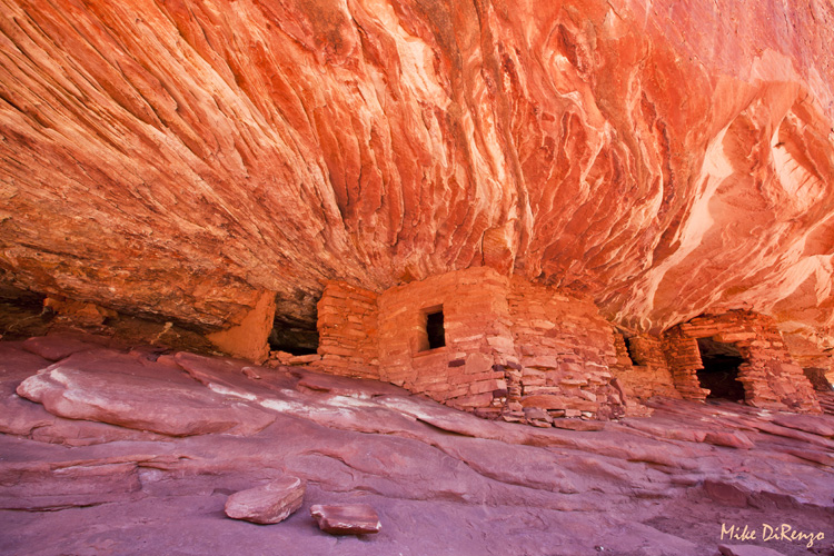
House on Fire 3633

Washed Out
Butler Wash Ruins
Butler Wash Ruin
Butler Wash ruins

Butler Wash Ruins
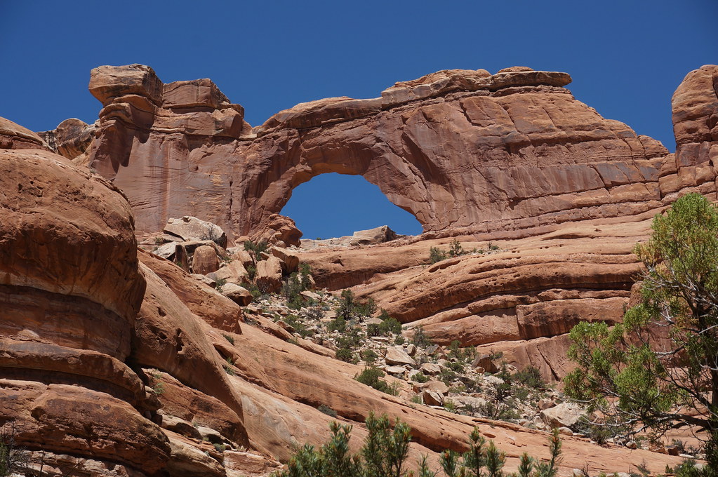
big arch, nice lines
we're going in
house not on fire
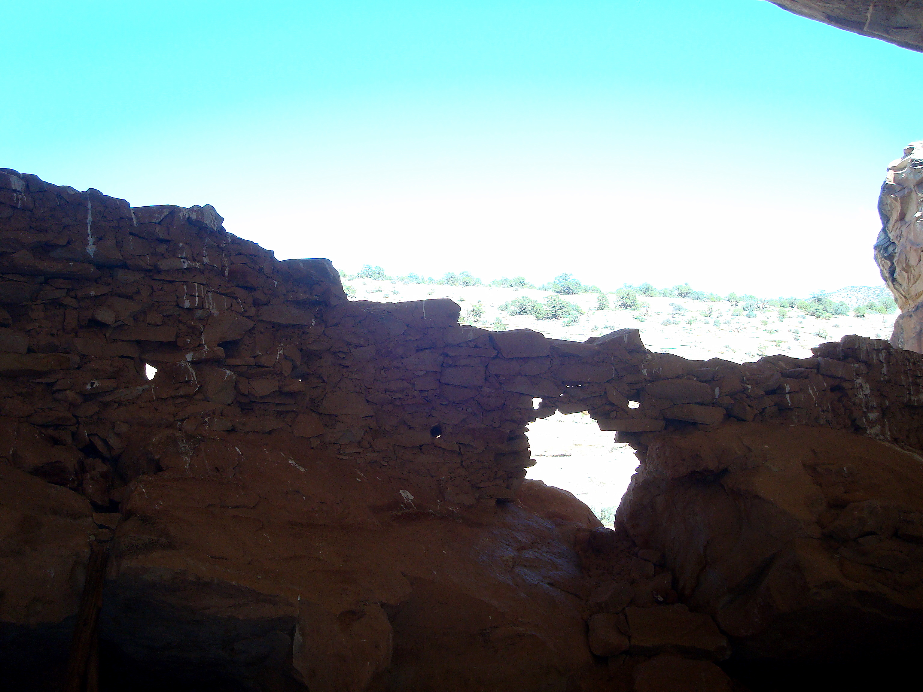
Rock Dwelling
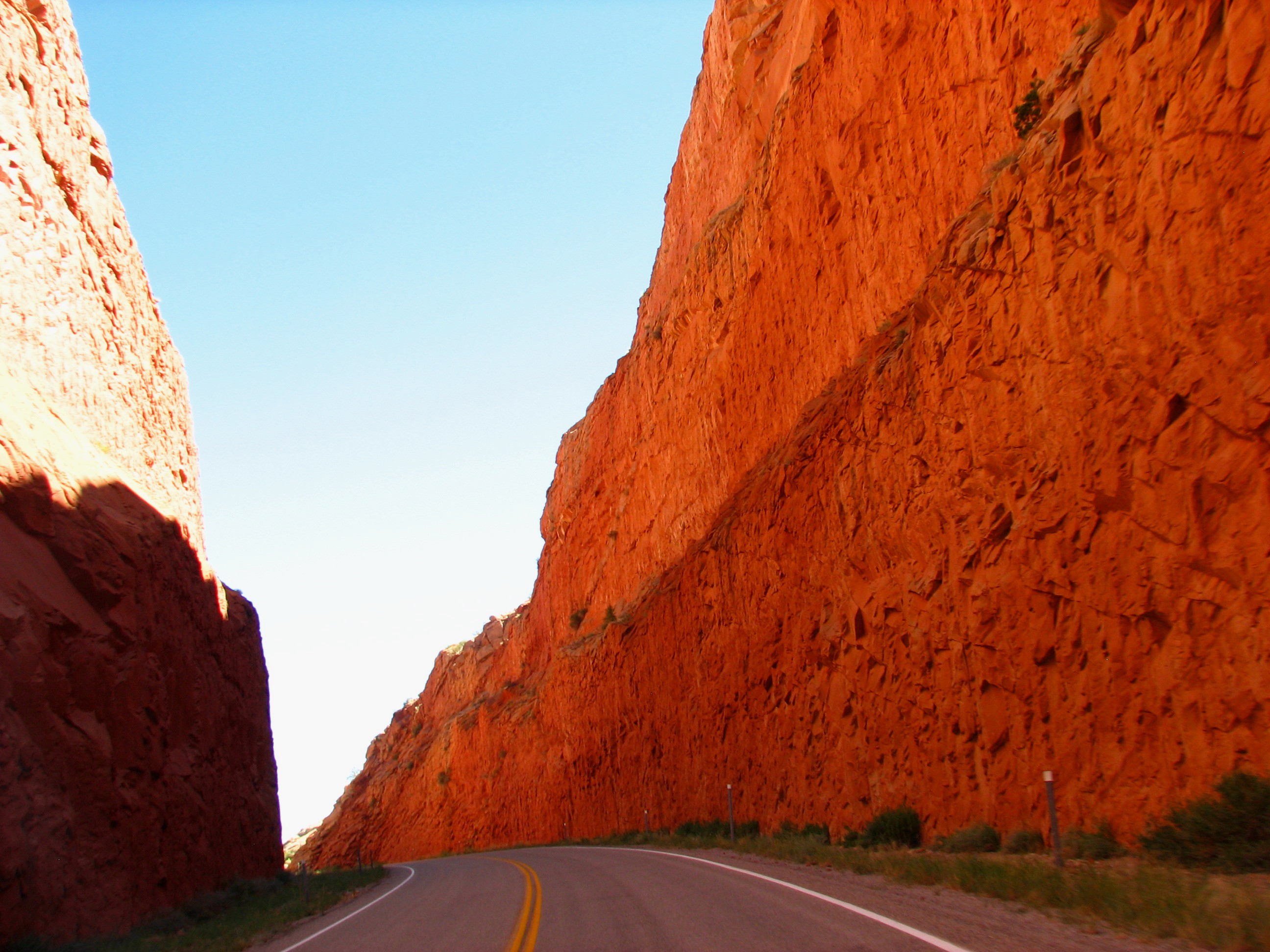
Hwy 95 to blanding
first sighting
Topographic Map of San Juan County, UT, USA
Find elevation by address:

Places in San Juan County, UT, USA:
Monticello
Oljato-monument Valley
Bluff
La Sal
Lake Powell
Blanding
White Mesa
Mexican Hat
Bears Ears
Navajo Mountain
Utah 261
Hite
Moki Dugway
Spanish Valley
Places near San Juan County, UT, USA:
Utah 261
Bears Ears
Moki Dugway
Moki Dugway
Natural Bridges National Monument Campground
Natural Bridges National Monument
U.s. 163 Scenic
Mexican Hat
Goosenecks State Park
Forrest Gump Point
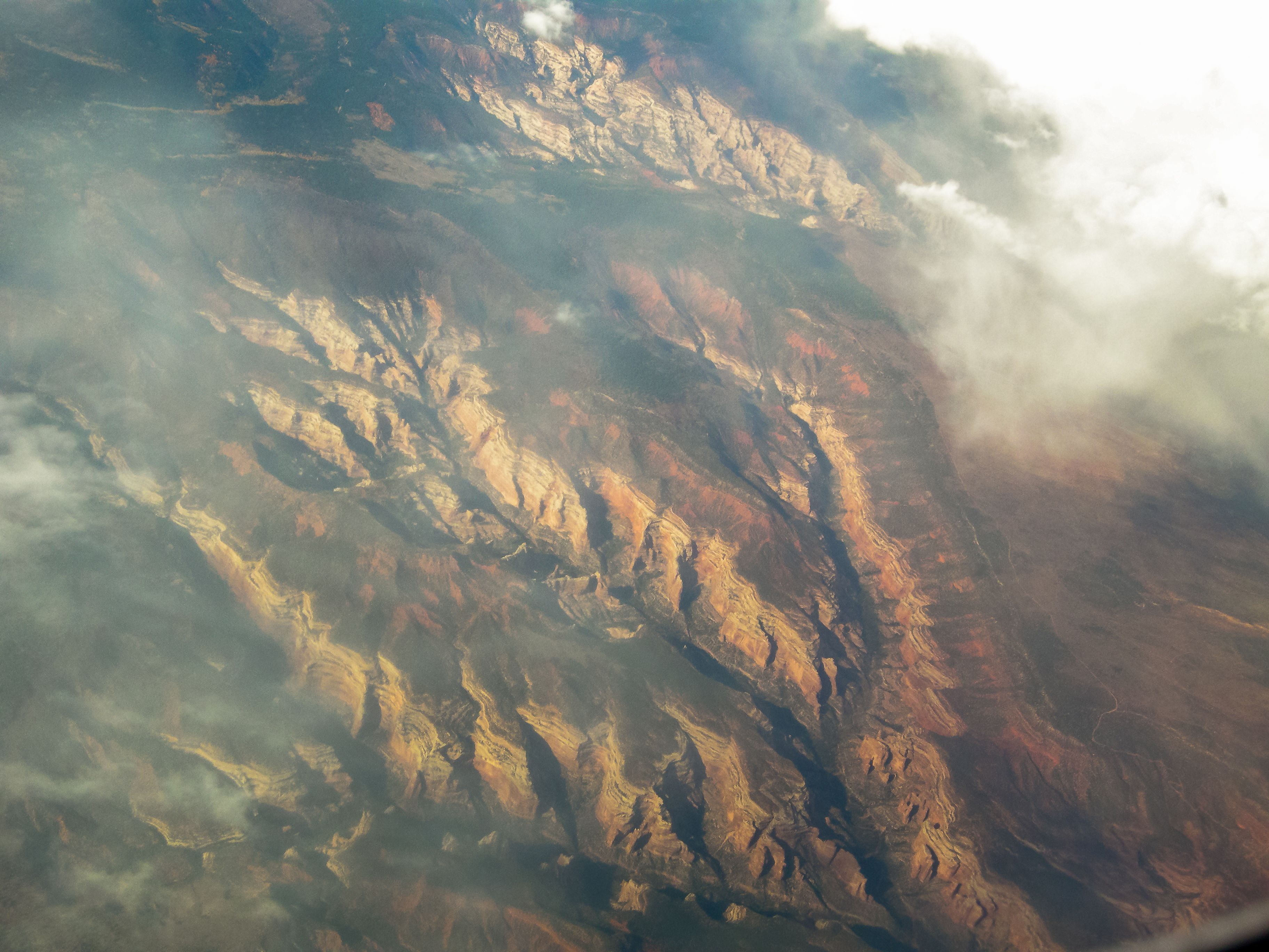
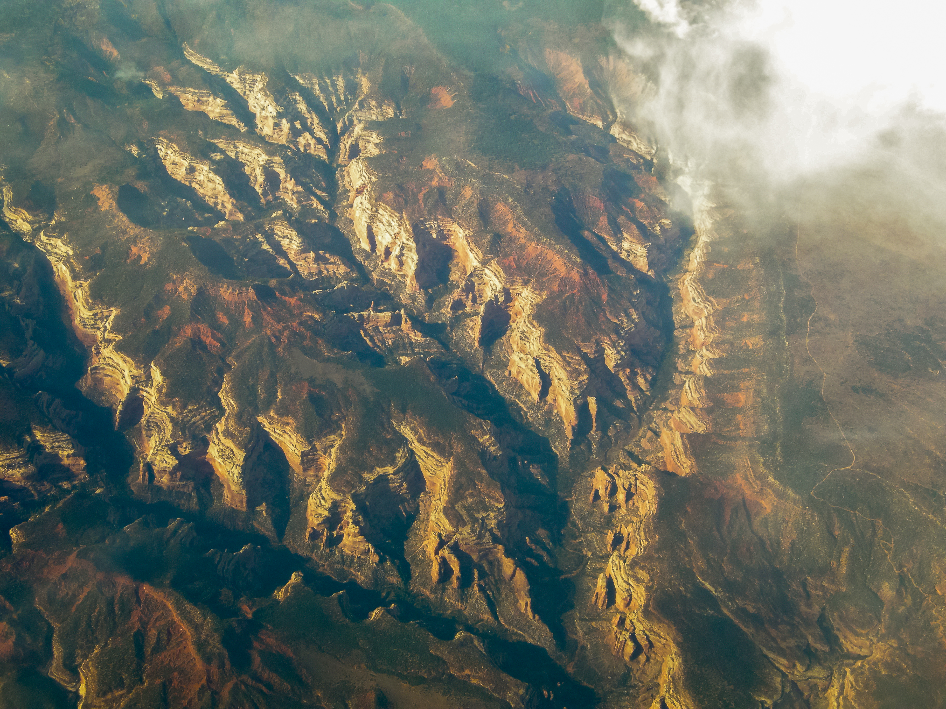
Colorado Plateau
Monument Pass
West And East Mitten Buttes
Monument Valley
Oljato-Monument Valley, UT, USA
Spearhead Mesa
Wildcat Trail
Monument Valley Navajo Tribal Park Visitor Center
The View Hotel
John Ford Point
Recent Searches:
- Elevation of Zimmer Trail, Pennsylvania, USA
- Elevation of 87 Kilmartin Ave, Bristol, CT, USA
- Elevation of Honghe National Nature Reserve, QP95+PJP, Tongjiang, Heilongjiang, Jiamusi, Heilongjiang, China
- Elevation of Hercules Dr, Colorado Springs, CO, USA
- Elevation of Szlak pieszy czarny, Poland
- Elevation of Griffing Blvd, Biscayne Park, FL, USA
- Elevation of Kreuzburger Weg 13, Düsseldorf, Germany
- Elevation of Gateway Blvd SE, Canton, OH, USA
- Elevation of East W.T. Harris Boulevard, E W.T. Harris Blvd, Charlotte, NC, USA
- Elevation of West Sugar Creek, Charlotte, NC, USA