Elevation of Glenwood, AR, USA
Location: United States > Arkansas > Pike County > Clark Township >
Longitude: -93.550742
Latitude: 34.3267653
Elevation: 173m / 568feet
Barometric Pressure: 99KPa
Elevation Map:
Satellite Map:
Related Photos:

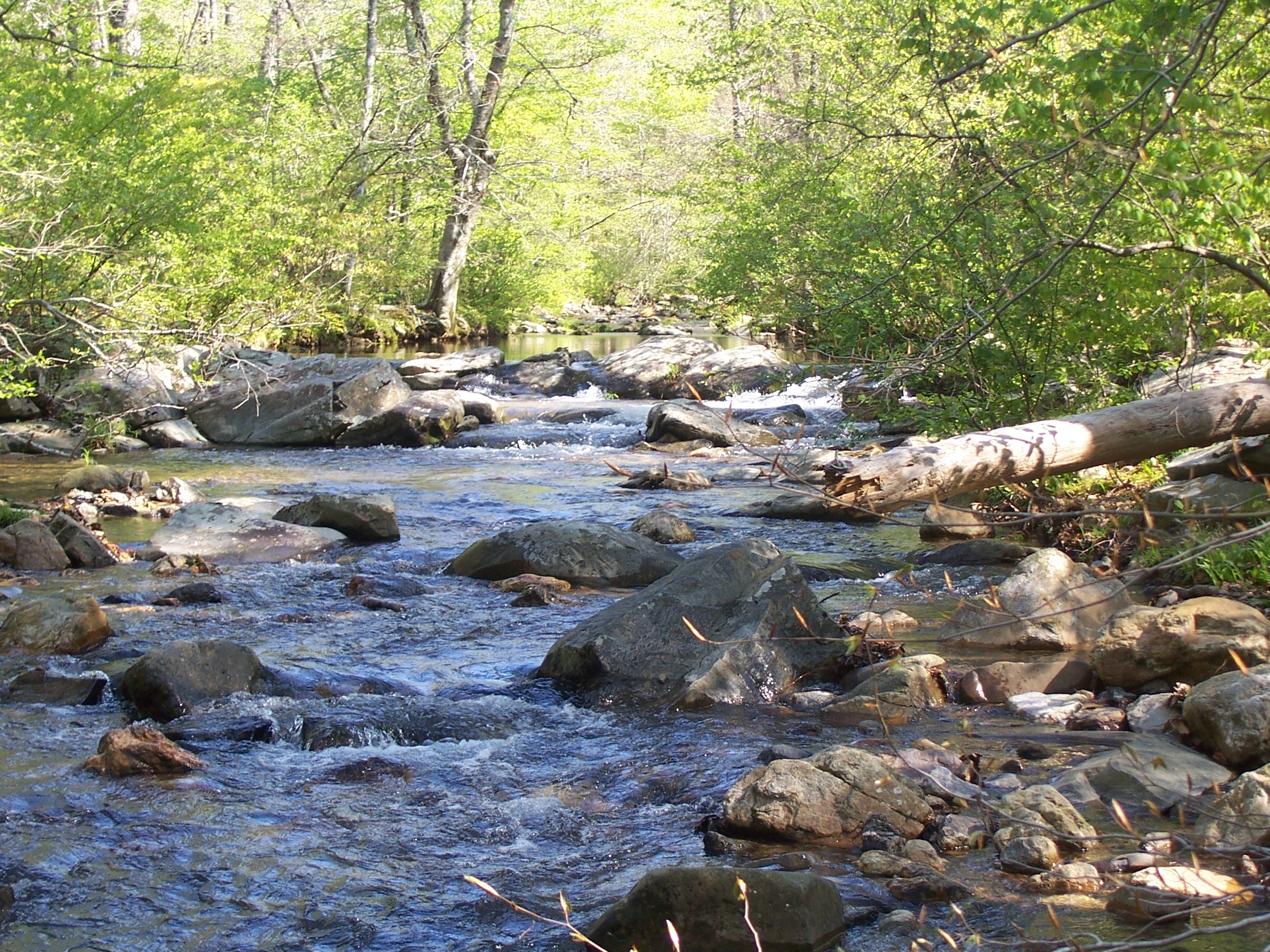
Caney Creek-Arch View

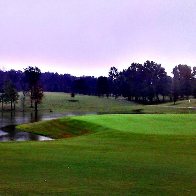
Beautiful day for golf.

#perfect day for #golf at #gwoodcc

#greens are #rolling #perfect #golfcourse is in #great shape. #goodtimes @ #GlenwoodCountryClub

#great day for #winter #golf at #gwoodcc.

Flowering Field

#Goodtimes #golfing

Megan iPhone
Ouachita Natl Forest

Another perfect day.
#gwoodcc #goodtimes @gwoodcc

Good times playing #golf #goodtimes @#gwoodcc

#Goodtimes #golfing at #Glenwood Country Club #Perfect #playing #conditions #amazing #sunset
Topographic Map of Glenwood, AR, USA
Find elevation by address:

Places in Glenwood, AR, USA:
Places near Glenwood, AR, USA:
N 2nd St, Glenwood, AR, USA
1911 N 1st St
Clark Township
AR-8, Amity, AR, USA
119 Maxey Rd
Caddo Gap
Caddo Gap
35 Vaught St, Caddo Gap, AR, USA
Amity
Antoine Township
12 AR-84, Amity, AR, USA
Liberty Rd, Norman, AR, USA
Manford Rd, Caddo Gap, AR, USA
87 Sammie Rd, Amity, AR, USA
AR-, Caddo Gap, AR, USA
Eagle Township
Lodi
AR-84, Glenwood, AR, USA
Norman
Pike County
Recent Searches:
- Elevation of Congressional Dr, Stevensville, MD, USA
- Elevation of Bellview Rd, McLean, VA, USA
- Elevation of Stage Island Rd, Chatham, MA, USA
- Elevation of Shibuya Scramble Crossing, 21 Udagawacho, Shibuya City, Tokyo -, Japan
- Elevation of Jadagoniai, Kaunas District Municipality, Lithuania
- Elevation of Pagonija rock, Kranto 7-oji g. 8"N, Kaunas, Lithuania
- Elevation of Co Rd 87, Jamestown, CO, USA
- Elevation of Tenjo, Cundinamarca, Colombia
- Elevation of Côte-des-Neiges, Montreal, QC H4A 3J6, Canada
- Elevation of Bobcat Dr, Helena, MT, USA